The best gravel rides around Texingtal
5.0
(2)
9
riders
4
rides
Gravel biking around Texingtal offers diverse landscapes, from the gentle hills of the Melk Alpine Foreland to more challenging routes bordering the Türnitz Alps. The region is characterized by densely wooded countryside, verdant meadows, and the flowing Mank river. This varied topography provides a mix of paved and unpaved surfaces, ideal for exploring on two wheels.
Best gravel bike trails around Texingtal
- The most popular gravel bike trail is Plankenstein Castle – Schwabeckkreuz loop from Texingtal, a 9.6 miles…
Last updated: June 27, 2026
2
riders
15.4km
01:20
460m
450m
Hard gravel ride. Very good fitness required. Mostly paved surfaces. Suitable for all skill levels.
1
riders
Hard gravel ride. Very good fitness required. Mostly paved surfaces. Suitable for all skill levels.

Sign up for free
5.0
(1)
3
riders
Hard gravel ride. Very good fitness required. Mostly paved surfaces. Suitable for all skill levels.
5.0
(1)
3
riders
34.3km
02:24
640m
640m
Hard gravel ride. Very good fitness required. Mostly paved surfaces. Suitable for all skill levels.
Our route recommendations are based on thousands of hikes, rides, and runs completed by other people on komoot.
Start today with a free account
Your next adventure awaits.
Login or Signup
Popular around Texingtal
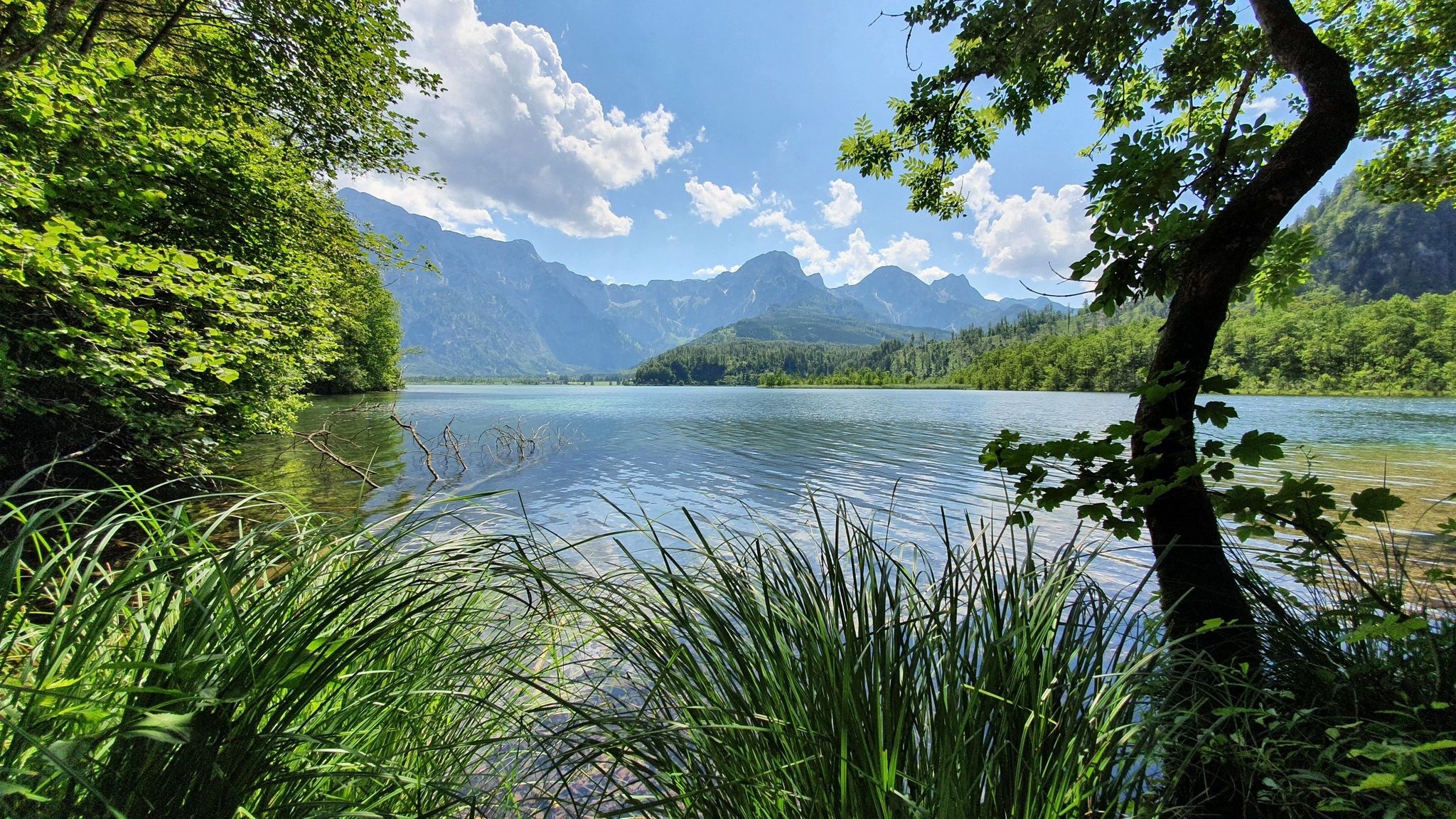

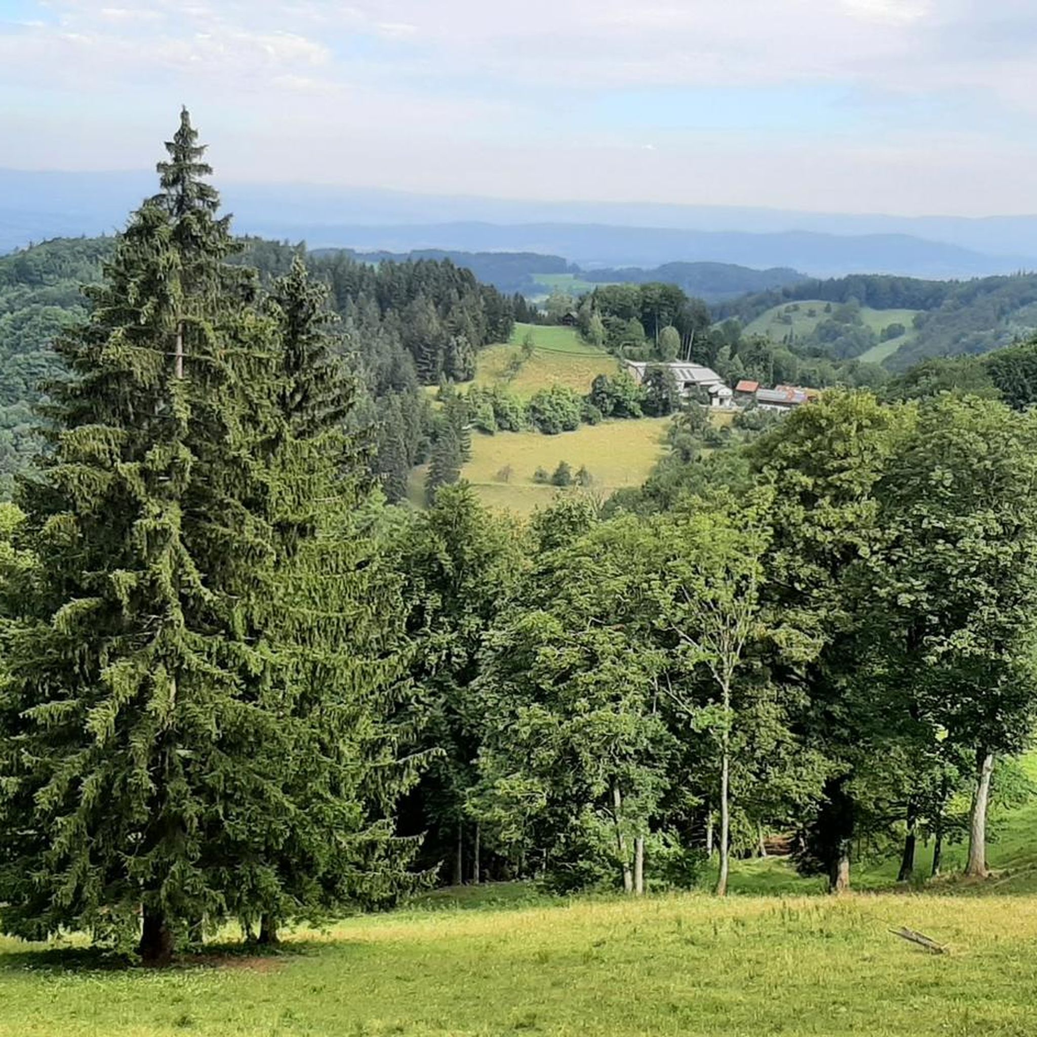
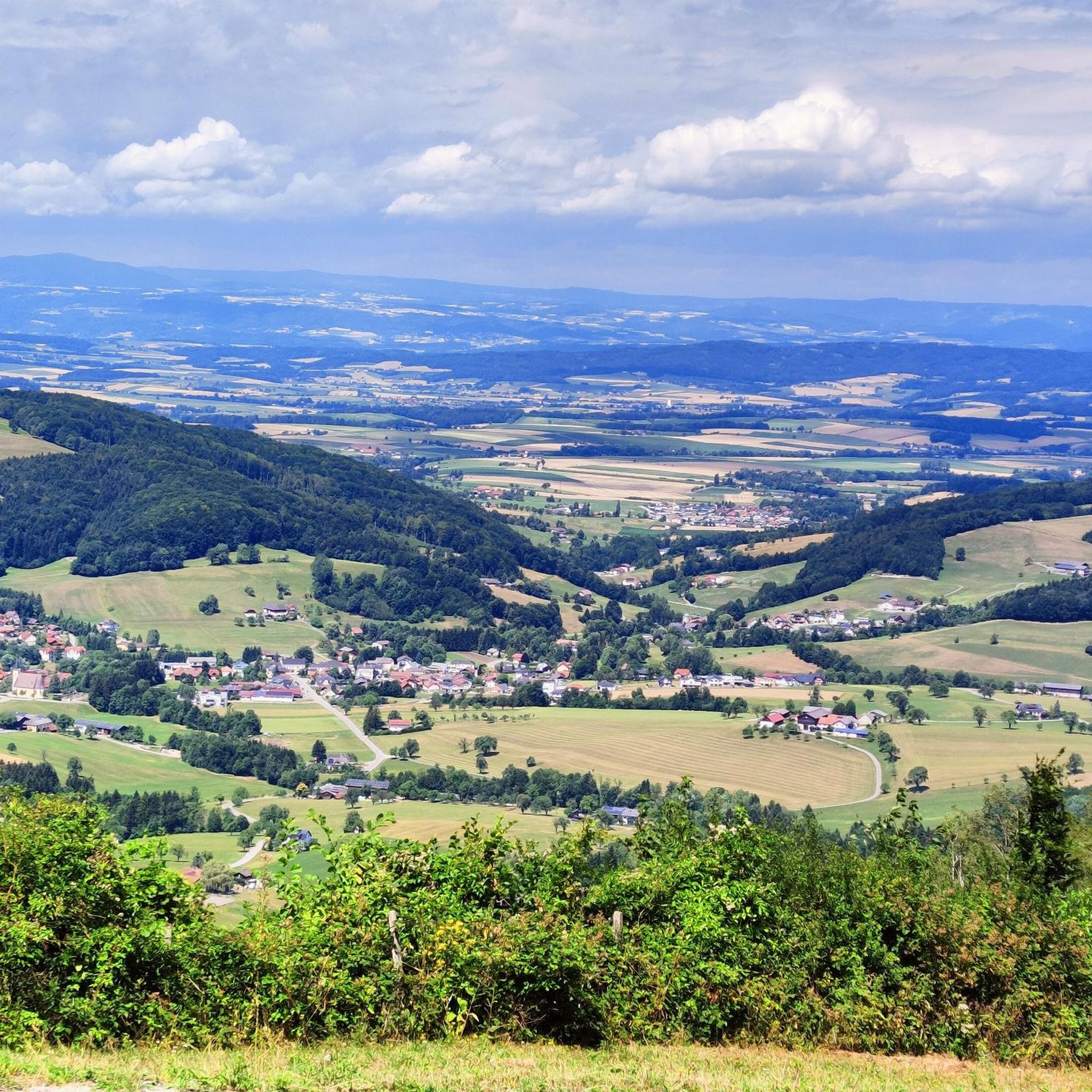
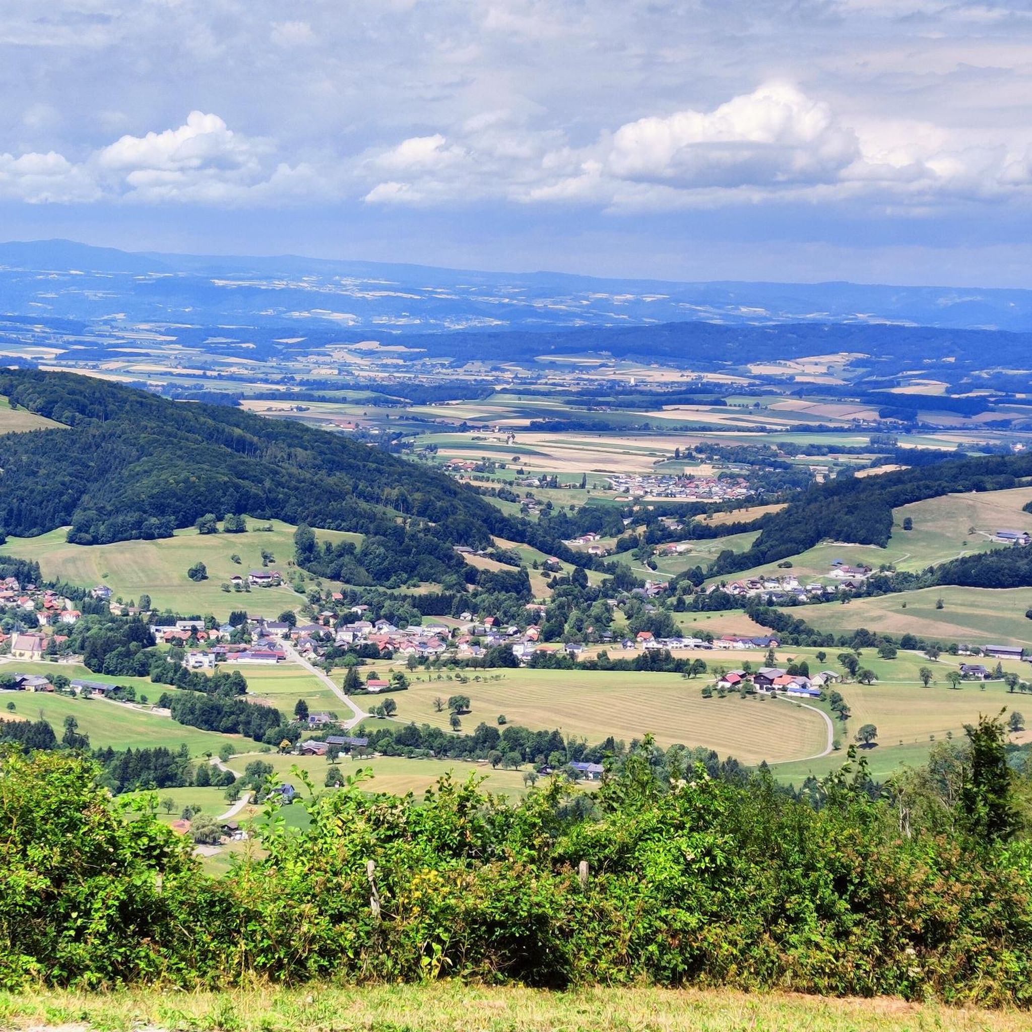
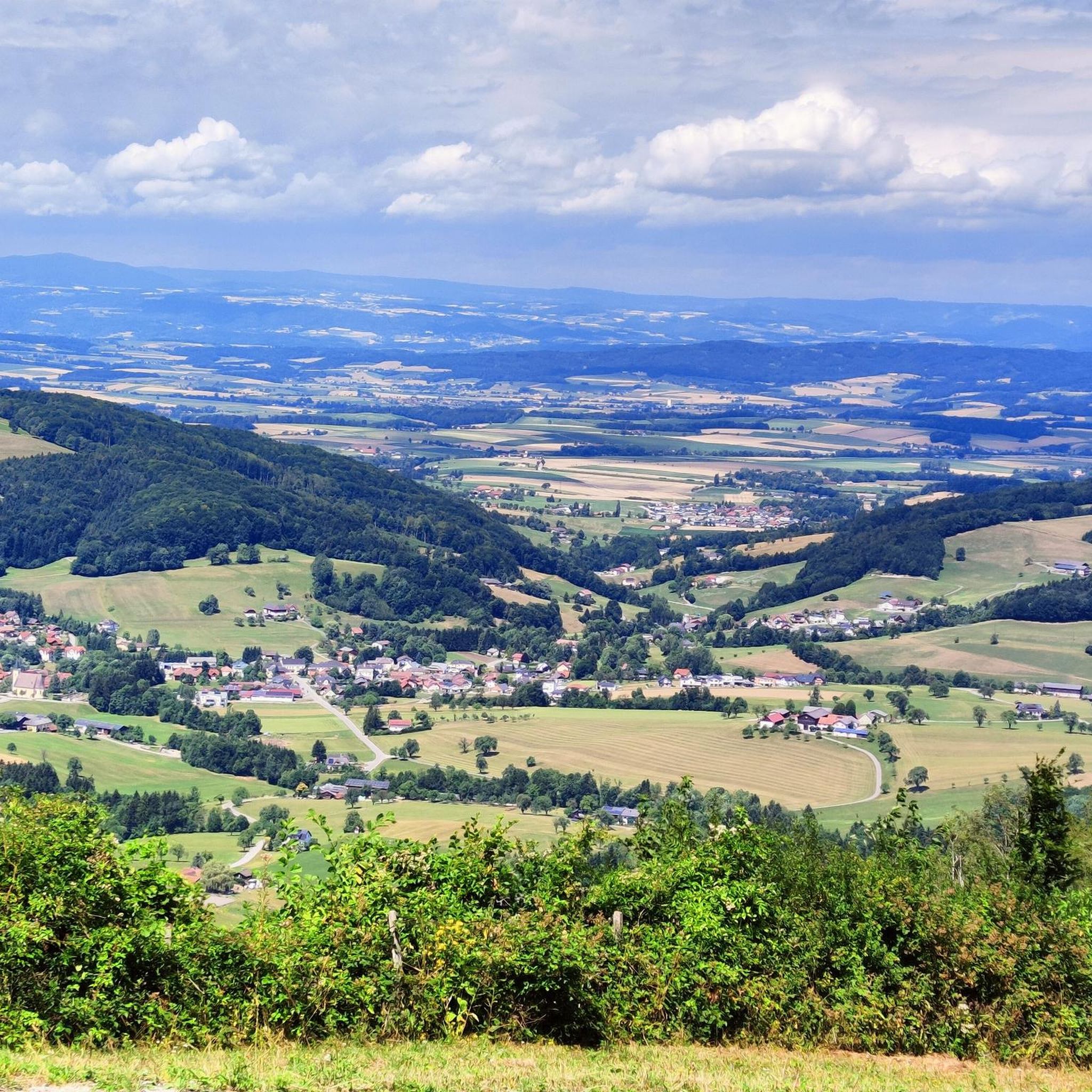
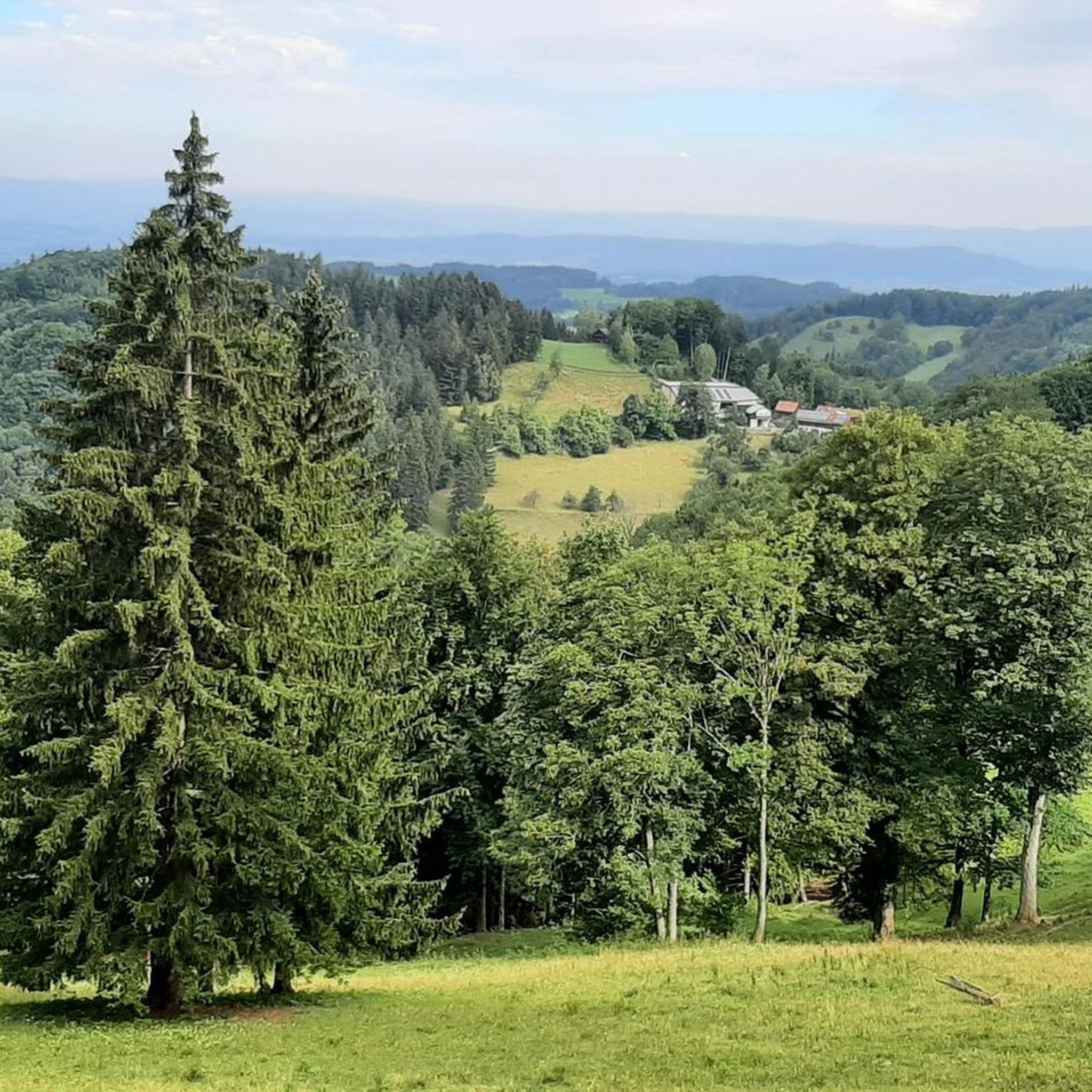
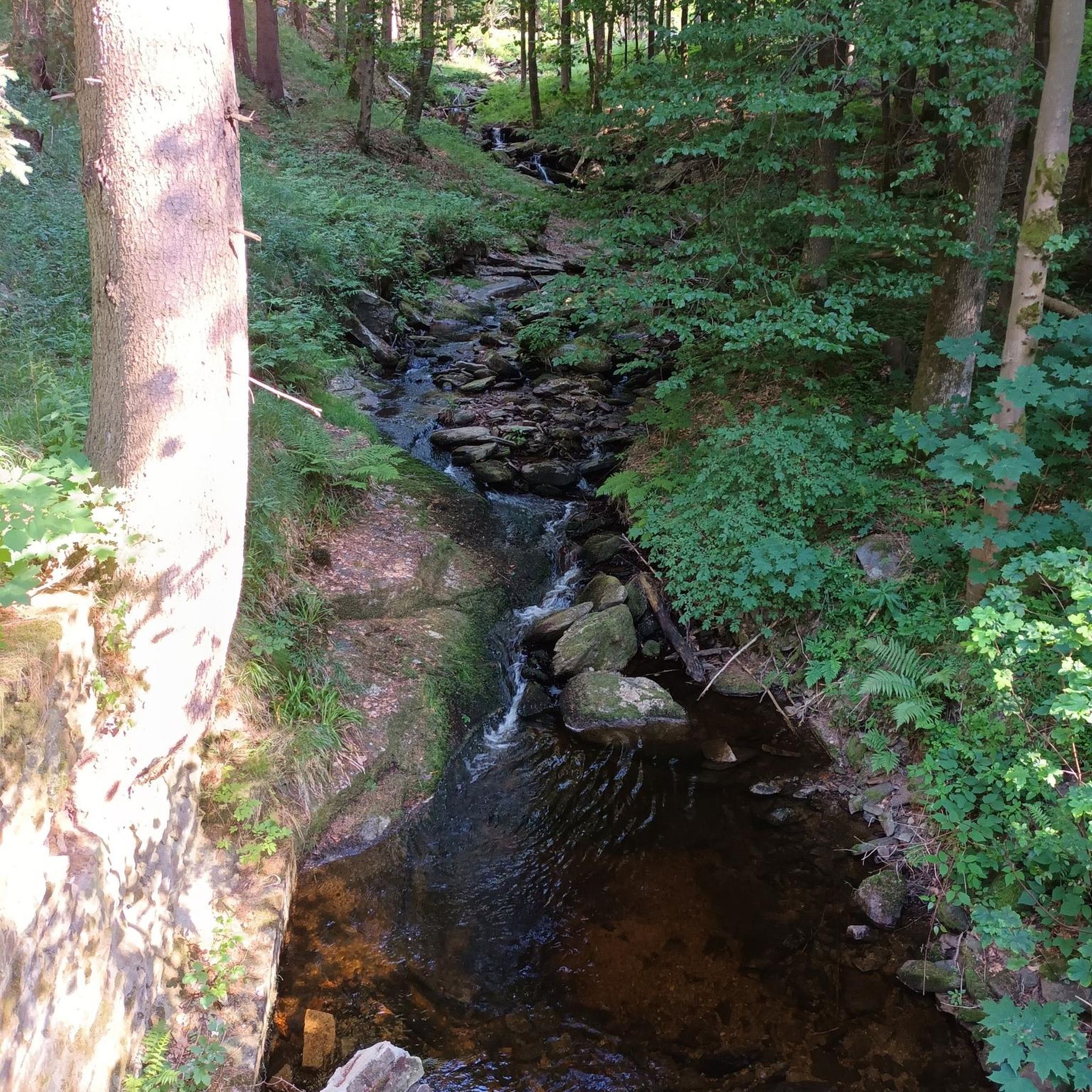


Tips from the Community

Engelbert Anderl, again out of gratitude for his rescue from the turmoil of war, erected a Marian chapel in 1948 instead of the wooden cross. Since then, a Marian devotion has taken place every year on the feast of the Ascension of Christ.
0
0

nice connection from Rabenstein to Tradigist
0
0
beautiful connection from Kirchberg to the north
0
0

next to a beautiful wooden footbridge over the Pielach river
0
0
Beautiful wooden footbridge over the Pielach river in Rabenstein.
0
0

Near the Mainburg hydroelectric power plant, the Mariazell Railway runs through the Pielach Valley, crossing the road at a level crossing in an open landscape. The line lies between Rabenstein an der Pielach and the request stop in Mainburg and is surrounded by fields, meadows, and the Pielach River. The level crossing is also accessible to cyclists, as the Pielach Valley Cycle Path runs in close proximity. This makes the characteristic combination of railway, river, and technical facilities like the hydroelectric power plant particularly enjoyable to experience from a bicycle.
1
0

Here you'll find a shady panoramic spot.
0
0
Frequently Asked Questions
How many gravel bike trails are available in Texingtal?
Texingtal offers a selection of 6 gravel bike routes, ranging from moderate to difficult, providing diverse experiences across its varied landscapes.
What kind of terrain and difficulty can I expect on Texingtal's gravel bike routes?
The terrain in Texingtal is quite varied, spanning from the gentle hills of the Melk Alpine Foreland to more challenging routes bordering the Türnitz Alps. You'll encounter a mix of paved and unpaved surfaces, rustling forests, and verdant meadows. Most routes are rated as difficult, with one notable moderate option like the Schlangenkreuz Marian Column – Grünbühel Castle loop from Grimmegg.
Are there any family-friendly gravel bike routes in Texingtal?
While many routes in Texingtal are rated as difficult due to elevation gain, the region's diverse landscapes offer scenic rides. For families, consider routes with less extreme elevation changes. The Schlangenkreuz Marian Column – Grünbühel Castle loop from Grimmegg is a moderate option that might be more suitable, offering scenic views across rolling hills.
What are some notable landmarks or natural features I can see along the gravel bike trails?
Many routes offer panoramic views of the Mostviertel countryside. You can explore natural monuments, canyons, and caves in the wider region. For instance, the Plankenstein Castle – Schwabeckkreuz loop from Texingtal passes by the historic Plankenstein Castle. Additionally, nearby attractions include the beautiful Erlauf Gorge and various caves like the Roman Caves.
Are there any circular gravel bike routes in Texingtal?
Yes, several gravel bike routes in Texingtal are designed as loops, allowing you to start and end in the same location. Examples include the popular Plankenstein Castle – Schwabeckkreuz loop from Texingtal and the Josef-Franz Hut – Wooden bridge over the Pielach loop from Rabenstein an der Pielach.
What is the best time of year for gravel biking in Texingtal?
Texingtal is generally appealing for outdoor activities from spring through autumn. The rustling forests and verdant meadows are particularly beautiful during these seasons. While specific seasonal data for gravel biking isn't available, avoiding winter months due to potential snow and ice would be advisable for optimal riding conditions.
Where can I find parking for gravel biking in Texingtal?
Specific parking information for individual trailheads is not detailed in the route descriptions. However, as a general rule, you can often find parking in the starting villages or near popular attractions mentioned in the routes, such as Texingtal itself or Rabenstein an der Pielach. Always check local signage for parking regulations.
Are there any routes that follow rivers or offer waterside views?
Yes, the Mank river flows through the municipality, adding to the scenic charm. The Josef-Franz Hut – Wooden bridge over the Pielach loop from Rabenstein an der Pielach leads through forested areas and along the Pielach river, offering pleasant waterside sections.
What do other gravel bikers enjoy most about Texingtal?
The komoot community highly rates the gravel biking experience in Texingtal, with an average score of 5.0 stars. Reviewers often praise the diverse landscapes, the mix of paved and unpaved surfaces, and the panoramic views of the Mostviertel countryside.
Are there any longer, more challenging gravel bike routes for experienced riders?
For experienced riders seeking a challenge, Texingtal offers several difficult routes with significant elevation gain. The Picnic Area by the Waterfall – Wooden bridge over the Pielach loop from Loich is a longer option at nearly 34 km with over 650 meters of elevation gain, providing a demanding ride through varied terrain.
Can I find cafes or places to eat near the gravel bike trails?
While specific cafes are not listed for each route, the villages and towns within and around Texingtal, such as Texingtal itself, Kirchberg an der Pielach, or Rabenstein an der Pielach, offer opportunities for refreshments and meals. It's a good idea to plan your route to pass through these areas if you intend to stop for food or drink.
Most popular routes around Texingtal
Most popular attractions around Texingtal

Get inspired with the komoot mobile app


Explore more
Browse the best Gravel rides in other regions.
