Easy hikes and walks around Texingtal
4.5
(963)
5,733
hikers
345
hikes
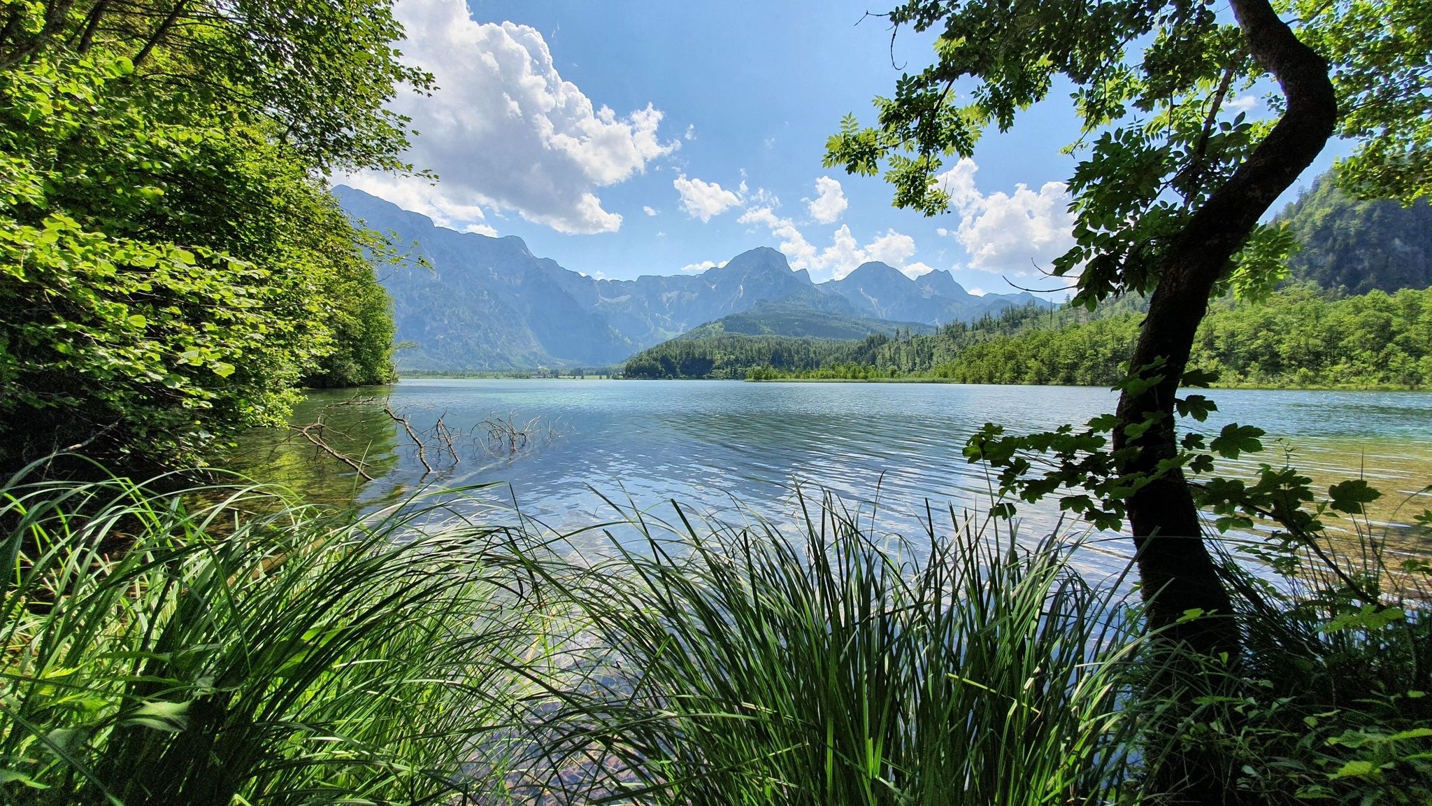
Easy hiking trails around Texingtal traverse a landscape characterized by gentle hills, expansive meadows, and lush forests within the Türnitz Alps. The region features diverse terrain, including ridge trails and numerous viewpoints that offer vistas into the northern Danube region. Natural features like the Kendler Waterfall and the Texingbach stream are also present. This area provides a network of paths suitable for various outdoor activities.
Best easy hiking trails around Texingtal
- The most popular easy hiking route is Oberdachsberg Viewpoint…
Last updated: October 3, 2026
4.3
(7)
14
hikers
5.56km
01:43
200m
200m
Easy hike. Great for any fitness level. Easily-accessible paths. Suitable for all skill levels.
5.0
(3)
13
hikers
5.39km
01:51
290m
290m
Easy hike. Great for any fitness level. Easily-accessible paths. Suitable for all skill levels.

12
hikers
Easy hike. Great for any fitness level. Easily-accessible paths. Suitable for all skill levels.
4.0
(2)
5
hikers
5.76km
01:50
220m
220m
Easy hike. Great for any fitness level. Easily-accessible paths. Suitable for all skill levels.
5
hikers
3.77km
01:11
150m
150m
Easy hike. Great for any fitness level. Easily-accessible paths. Suitable for all skill levels.
Get access to more routes and recommendations from other explorers.
Already have an account?
Our route recommendations are based on thousands of hikes, rides, and runs completed by other people on komoot.
Start today with a free account
Your next adventure awaits.



Tips from the Community

Very beautiful view far up into the Waldviertel.
0
0

Beautiful lumberjack cabin discovered in the middle of the forest
0
0

Wonderful view - all the way to Maria Taferl
0
0

Alpine inn with a great view
0
0

It is a laborious struggle to climb the Yeti Trail, but further up you are rewarded with a beautiful view.
1
1
Great idea, a small hut right next to the Roman road 651. You can rest here under cover. The view is also very nice!
1
0
A beautiful little town with a church and a castle. The north-south long-distance hiking trail 05 and the Roman road 651 pass through here.
3
0
Another beautiful spot on the Roman road 651 and the Pielachtal circular hiking trail! Great views and the opportunity to rest.
2
0
Frequently Asked Questions
How many easy hiking trails are available in Texingtal?
Texingtal offers a wide selection of easy hiking trails, with over 130 routes specifically categorized as easy. The region features gentle hills, expansive meadows, and lush forests, making it ideal for leisurely walks.
Are there any easy circular walks in Texingtal?
Yes, Texingtal has several easy circular walks. For instance, the Oberdachsberg Viewpoint – Plankenstein Castle loop from Burg Plankenstein is a 3.4-mile (5.5 km) route that connects a scenic viewpoint with the historic castle. Another option is the View from Schwabeckkreuz – View from Bichlberg loop from Texingtal, offering panoramic views from two distinct points.
What kind of natural features can I expect to see on easy hikes in Texingtal?
Easy hikes in Texingtal often lead through diverse terrain, including gentle hills, expansive meadows, and lush forests. You might encounter picturesque streams like the Texingbach, and some routes can be combined with visits to natural attractions such as the Kendler Waterfall, especially on loops starting from Burg Plankenstein.
Are there any viewpoints on the easy hiking trails in Texingtal?
Many easy trails in Texingtal offer impressive panoramic views. Notable viewpoints include the Schwabeckkreuz and various summit crosses on peaks like Hamesberg. The Oberdachsberg Viewpoint – Plankenstein Castle loop specifically highlights a scenic viewpoint, and the View from Schwabeckkreuz – View from Bichlberg loop provides vistas from two different points.
Are easy hiking trails in Texingtal suitable for families?
Yes, the easy hiking trails in Texingtal are generally well-suited for families due to their gentle terrain and manageable lengths. The region's diverse landscape of meadows and forests provides an enjoyable environment for all ages. For a unique family experience, consider alpaca trekking through the gentle hills, offering leisurely walks with views of Texing, St. Gotthard, and Plankenstein.
Can I bring my dog on the easy hiking trails in Texingtal?
Most easy hiking trails in Texingtal are dog-friendly. It is generally recommended to keep dogs on a leash, especially in areas with livestock or near protected wildlife. Always ensure you carry water for your dog and clean up after them.
Are there any historical landmarks or attractions along the easy routes?
Yes, several easy routes pass by or lead to historical landmarks. For example, the Oberdachsberg Viewpoint – Plankenstein Castle loop includes the majestic Plankenstein Castle, a 12th-century fortress with a castle tavern. The pilgrimage site of St. Gotthard, with its 'Heiliger Brunnen' (Holy Well), also adds a cultural dimension to hikes in the area.
What is the best time of year for easy hikes in Texingtal?
The best time for easy hikes in Texingtal is typically from spring through autumn, when the weather is mild and the landscapes are vibrant. The lush forests and meadows are particularly beautiful during these seasons. While winter hikes are possible, some paths might be covered in snow or ice, requiring appropriate gear.
Are there places to eat or rest along the easy trails?
Yes, you'll find options for refreshments. The Grüntalkogel Hut, located on the summit of Grüntalkogel, is a popular destination offering refreshments and even overnight stays by arrangement. Burg Plankenstein also features a castle tavern. Additionally, some routes, like the Hochsteinberg Alpine Pasture – Lumberjack Hut loop, lead through areas with potential resting spots.
What do other hikers say about the easy trails in Texingtal?
The easy trails in Texingtal are highly regarded by the komoot community, with an average rating of 4.6 stars from over 260 reviews. Hikers often praise the quiet woodlands, well-maintained paths, and the diverse scenery that includes gentle hills, expansive meadows, and panoramic viewpoints.
Is public transport available to access easy hiking trails in Texingtal?
While Texingtal is well-connected by road, public transport options to specific trailheads might be limited. It's advisable to check local bus schedules or consider driving to access the starting points of many easy hikes. Some routes, like the View from Schwabeckkreuz – View from Bichlberg loop, start directly from Texingtal village.
Are there any easy hikes that feature waterfalls?
Yes, the Kendler Waterfall is a specific natural attraction that can be incorporated into hiking routes. There are loops, for example, starting from Burg Plankenstein, that allow you to visit this picturesque waterfall as part of an easy walk.
Most popular routes around Texingtal
Most popular attractions around Texingtal

Get inspired with the komoot mobile app


Explore more
Browse the best Hikes in other regions.
