Newton-On-The-Moor And Swarland
Newton-On-The-Moor And Swarland
The 3 Most Amazing Peaks around Newton-On-The-Moor And Swarland
Best mountain peaks around Newton-On-The-Moor And Swarland are characterized by rolling hills and elevated features rather than towering mountains. The area, situated in Northumberland, offers a mix of inland and coastal landscapes. These locations provide opportunities for hiking and exploring, with diverse outdoor experiences ranging from gentle walks to more challenging climbs. The topography includes significant hills and crags that define the local scenery.
Best mountain peaks around Newton-On-The-Moor And Swarland
- The most popular mountain peaks is Coe Crag,…
Last updated: July 4, 2026
Brizlee Tower
Highlight • Viewpoint
Tip by

Long Crag Summit
Highlight • Viewpoint
Tip by

Sign up now to discover places like this
Get recommendations on the best single tracks, peaks, & plenty of other exciting outdoor places.
Sign up for free
Coe Crag
Highlight • Viewpoint
Tip by

Coe Crags Summit
Highlight • Summit
(Hill ID: 508863) [JNSA s9569]
County of Northumberland Definitive List summit.
Tip by

Night Fold Hill, 47.9 m (prominence 15.8 m)
Highlight • Summit
(Hill ID: 513645) [JNSA s18409]
Northumberland Coast National Landscape Definitive List summit.
County of Northumberland Definitive List summit.
Tip by
Sign up for free to discover even more peaks around Newton-On-The-Moor And Swarland.
Sign up for free
Already have an account?
Start today with a free account
Your next adventure awaits.
Login or Signup
Popular around Newton-On-The-Moor And Swarland
MTB Trails around Newton-On-The-Moor And Swarland
Hiking around Newton-On-The-Moor And Swarland
Road Cycling Routes around Newton-On-The-Moor And Swarland
Running Trails around Newton-On-The-Moor And Swarland
Cycling around Newton-On-The-Moor And Swarland

Gravel biking around Newton-On-The-Moor And Swarland
Tips from the Community

TP5127 - Night Fold Field S3689 FB Height: 47.896m #1053 Northumberland Coast National Landscape Trig Pillar List. County of Northumberland Trig Pillar List.
0
0
Night Fold Hill 47.9m P15.8 (Hill ID: 513645) [JNSA s18409] Northumberland Coast National Landscape Definitive List summit. County of Northumberland Definitive List summit.
0
0
Long Crag 319.3m P170 (1047ft) MARILYN (DoBIH Hill ID: 2316) [JNSA 12708] County of Northumberland Definitive List summit.
0
0
Coe Crags 306.7m P15.5 (1006ft) (Hill ID: 508863) [JNSA s9569] County of Northumberland Definitive List summit.
0
0


Standing around 26 meters high, Brizlee Tower dominates the skyline of Hulne Park for miles around. It was built in the 18th century by the 1st Duke of Northumberland in memory of his wife, Elizabeth Percy, the 1st Duchess.
0
0

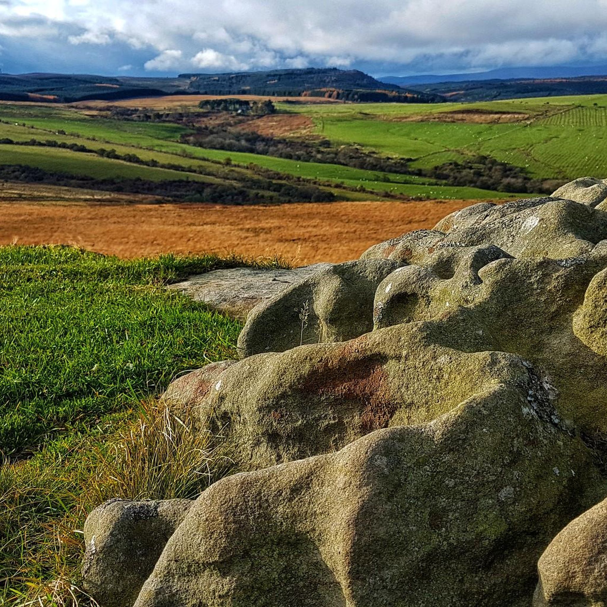
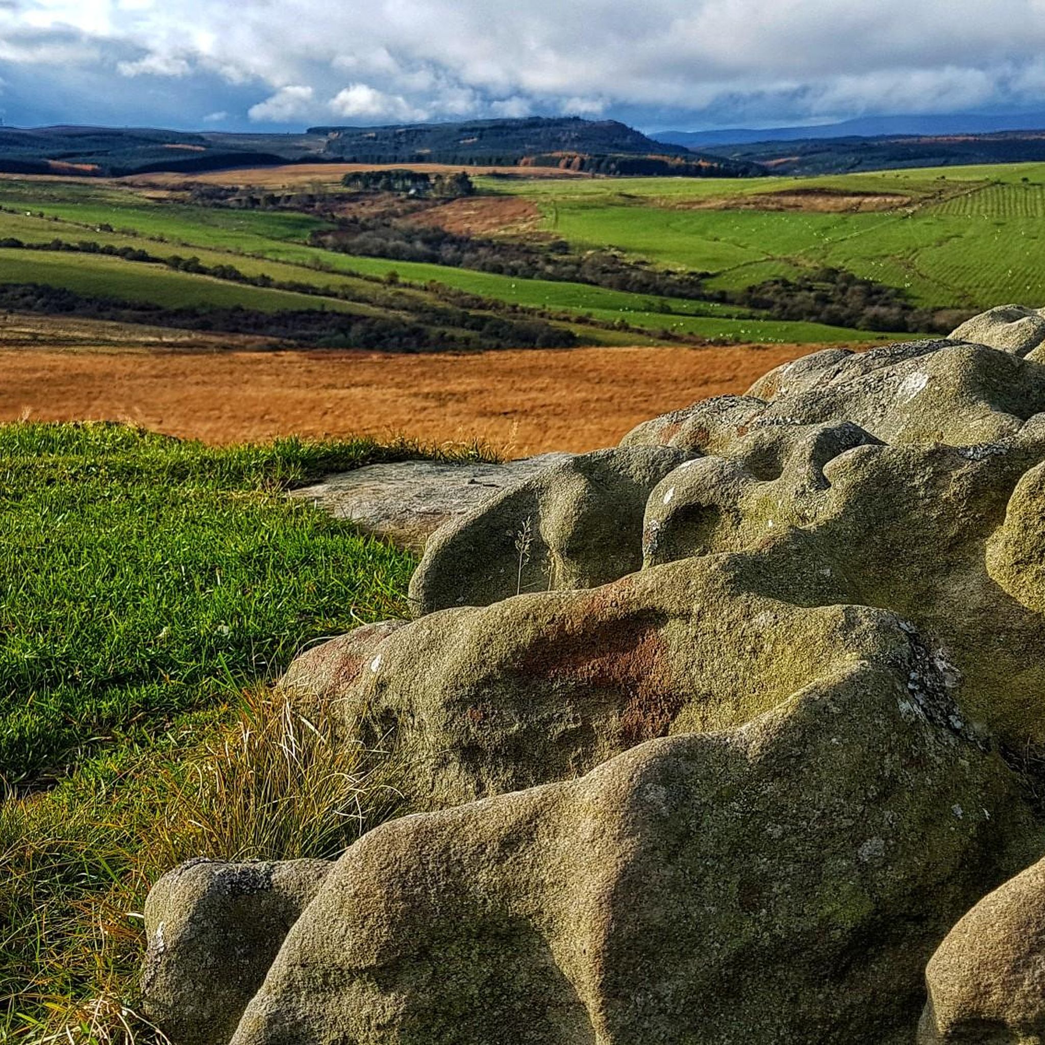
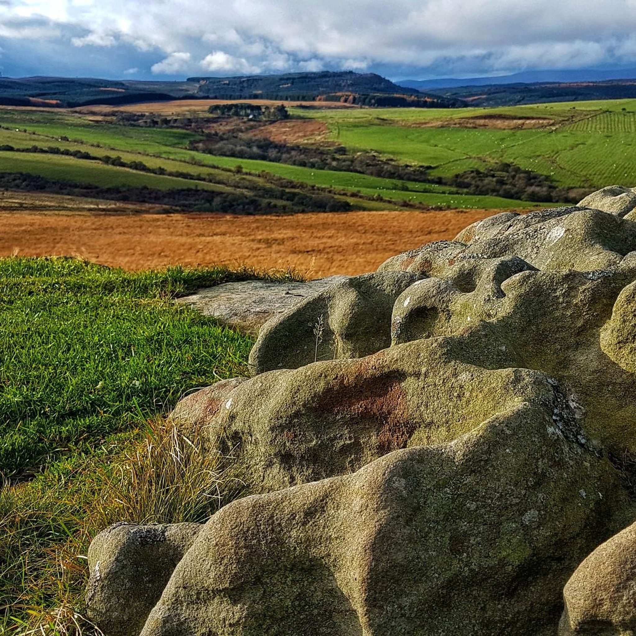
Exposed rocky tracks that are waterways during rainfall are what these bridleways are. Can be difficult to ride on and getting rythmn peddling can be difficult. Plenty sections need the bike pushed. Be careful, there are loads of rocky drops where it can be very easy to twist ankles.
0
0
Frequently Asked Questions
What are some of the most notable elevated features or 'peaks' in the Newton-On-The-Moor and Swarland area?
While the region is known for rolling hills and coastal landscapes, significant elevated features include Long Crag Summit, Coe Crag, and Beacon Hill. These offer diverse experiences from accessible points with good views to more rugged climbs.
Are there challenging mountain trails in the Newton-On-The-Moor and Swarland area?
Yes, for those seeking a more rugged experience, the areas around Long Crag Summit and Coe Crag offer challenging trails. These can feature exposed rocky tracks that may become waterways during rainfall, requiring sturdy shoes and sure-footedness.
What kind of views can I expect from the peaks in this region?
Many of the elevated points offer impressive views. From Coe Crag, you can expect spectacular views to the North and East. Beacon Hill also provides good views of the surrounding countryside, while the Simonside Hills offer panoramic vistas of their wild and rugged beauty.
What historical or cultural sites can I find near these elevated features?
You can visit Brizlee Tower, an 18th-century monument built by the 1st Duke of Northumberland. The Simonside Hills, slightly further afield, are also rich in history, featuring prehistoric rock art, Bronze Age burial cairns, and Iron Age hill forts like the one at Lordenshaw.
What is the best time to hike the peaks around Newton-On-The-Moor and Swarland?
The best time to hike is generally during drier periods to avoid muddy and difficult conditions, especially on trails around Long Crag Summit and Coe Crag. Spring and autumn offer pleasant temperatures, while summer provides longer daylight hours.
Are there family-friendly mountain walks near Newton-On-The-Moor?
While some areas are challenging, you can find easier walks. Swarland Wood, located on Swarland Hill, offers open footpaths and forest roads suitable for peaceful walks. For more general easy hikes, explore the routes in our Easy hikes around Newton-On-The-Moor And Swarland guide.
What should I wear when hiking the peaks around Newton-On-The-Moor?
Given the potentially rocky, muddy, and steep terrain, especially around Long Crag Summit and Coe Crag, sturdy waterproof hiking boots are highly recommended. Layered clothing is also advisable to adapt to changing weather conditions.
What other outdoor activities can I do near these mountain peaks?
Beyond hiking, the area offers various outdoor activities. You can find road cycling routes in our Road Cycling Routes around Newton-On-The-Moor And Swarland guide, and running trails in our Running Trails around Newton-On-The-Moor And Swarland guide.
Are there any less-known or 'hidden gem' elevated spots worth exploring?
While not a towering peak, Night Fold Hill offers a unique experience as a County of Northumberland Definitive List summit within the Northumberland Coast National Landscape, providing a different perspective of the local topography.
What is the terrain like on the trails leading to these elevated features?
The terrain varies significantly. While some paths, like those in Swarland Wood, are open and relatively easy, trails to Long Crag Summit and Coe Crag can be steep, rocky, and very muddy, especially after rain. The Simonside Hills also offer varied terrain, including exposed tracks and forest paths.
Are there circular mountain walks available in the area?
Yes, many of the hiking routes in the region are circular. You can find several options, such as the 'Warkworth loop — Northumberland Coast' or 'Amble Harbour Pods – Warkworth Castle loop', within our Easy hikes around Newton-On-The-Moor And Swarland guide.
Most popular routes around Newton-On-The-Moor And Swarland
Most popular attractions around Newton-On-The-Moor And Swarland

Get inspired with the komoot mobile app


Explore more
See even more amazing summits around Newton-On-The-Moor And Swarland with these guides:
