The best gravel rides around Newton-On-The-Moor And Swarland
4.9
(5)
15
riders
3
rides
Gravel biking around Newton-On-The-Moor And Swarland offers diverse terrain across the picturesque Northumberland countryside. The region features a mix of rolling hills, quiet country lanes, and extensive networks of forest and moorland tracks. Villages like Swarland are situated on the slopes of hills, providing natural inclines and varied landscapes for cyclists. This area is characterized by its rural setting, surrounded by farmland and greenery, making it suitable for exploring on two wheels.
Best gravel bike trails around Newton-On-The-Moor And Swarland
…Last updated: July 2, 2026
7
riders
45.3km
03:04
660m
660m
Hard gravel ride. Very good fitness required. Mostly paved surfaces. Suitable for all skill levels.
5.0
(1)
3
riders
Moderate gravel ride. Good fitness required. Mostly paved surfaces. Suitable for all skill levels.

Sign up for free
5.0
(1)
2
riders
62.4km
04:23
1,030m
1,030m
Hard gravel ride. Very good fitness required. Mostly paved surfaces. Suitable for all skill levels.
4.8
(4)
3
riders
53.0km
03:22
700m
700m
Hard gravel ride. Very good fitness required. Mostly paved surfaces. Suitable for all skill levels.
1
riders
Hard gravel ride. Very good fitness required. Mostly paved surfaces. Suitable for all skill levels.
Our route recommendations are based on thousands of hikes, rides, and runs completed by other people on komoot.
Start today with a free account
Your next adventure awaits.
Login or Signup
Tips from the Community


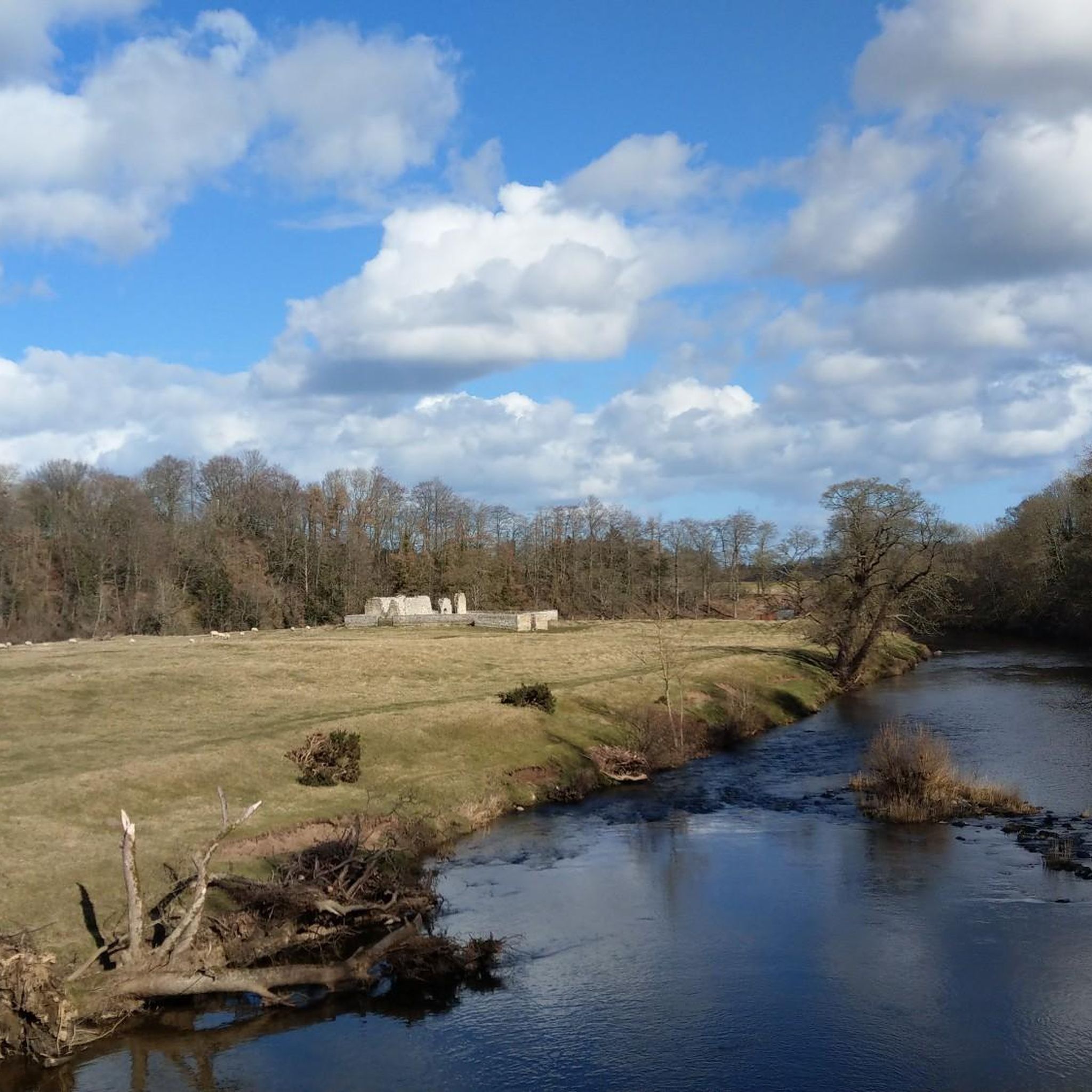
Good trails to ride on, great views on a sunny day. Can either include as part of a Rothbury/Simonside ride, or head over to Harwood Forest
0
0
Cracking pub, friendly welcome, good beer and food. Recommend the panuozzo sandwiches
0
0
Classic Northumberland road climb, even if it does have a descent in it. Ramp near the start in Elsdon is the hardest bit. Get lucky with a tailwind and fly down eastwards past Harwood Forest
0
0
Pretty bleak place to meet your end. If on the road, can also be pretty bleak with a rainy headwind ! Tailwind when eastward bound though is great
0
0

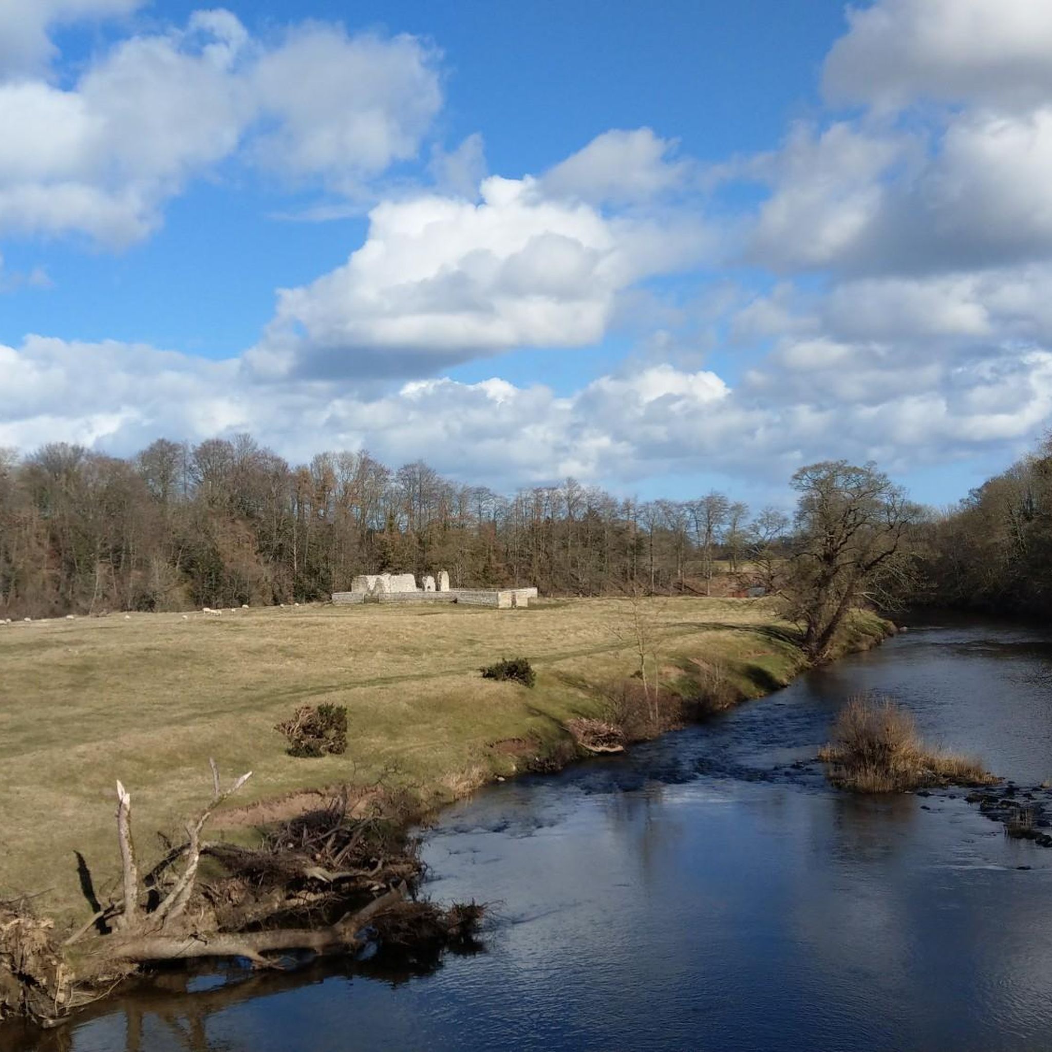
Today popular with locals and visitors: Here you will find a huge shady picnic area right by the river, next to the bridge
1
0
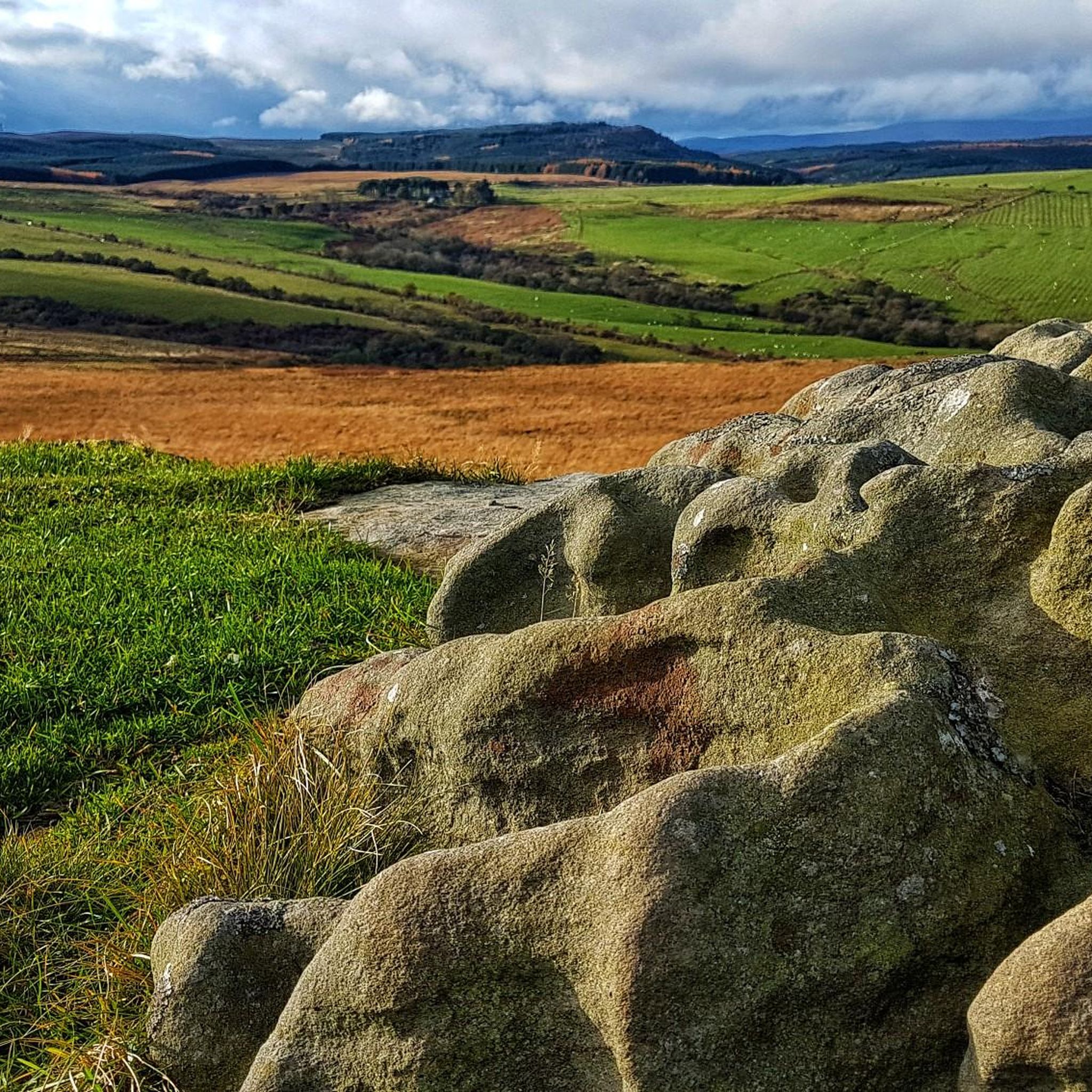
Lovely views to Simonside, mind the sheep, quite open if there's a headwind, or very speedy if a tail!
0
0

Frequently Asked Questions
How many gravel bike trails are available around Newton-On-The-Moor and Swarland?
There are several gravel biking routes in the Newton-On-The-Moor and Swarland area, with komoot featuring 6 distinct tours. These routes offer a mix of moderate and difficult options, catering to various skill levels.
Are there any family-friendly gravel bike routes in the area?
For families or those seeking a less strenuous ride, the View of Thrunton Wood – Forest Gravel Path loop from Thrunton Trout Fishery is a moderate 7.2 km trail that takes about 45 minutes. It offers a pleasant ride through forest tracks, which can be suitable for a family outing. Additionally, Swarland's Vyner Park offers recreational paths that could be explored.
What are some challenging gravel biking routes for experienced riders?
Experienced gravel bikers looking for a challenge can explore routes like the Rothbury Village Centre – Winter's Gibbet loop from Rothbury, a difficult 45.3 km path with significant climbs. Another demanding option is the Viewpoint on Simonside Hills – Simonside Car Park loop from Longhorsley, which is 53 km long and also rated as difficult, offering substantial elevation changes.
Are there any circular gravel bike routes in Newton-On-The-Moor and Swarland?
Yes, many of the gravel bike routes in the area are designed as loops. For instance, the popular View of Dunstanburgh Castle – Bridge Over Howick Burn loop from Alnmouth is a 39.8 km circular trail. The View of Thrunton Wood – Forest Gravel Path loop from Thrunton Trout Fishery is also a shorter, moderate loop.
What kind of terrain can I expect on gravel bike trails here?
The region offers diverse terrain, ideal for gravel biking. You'll encounter a mix of forest and moorland tracks, quiet country lanes, and rolling hills. Villages like Swarland are situated on slopes, providing natural inclines and varied landscapes. This rural setting, surrounded by farmland and greenery, ensures a dynamic riding experience.
What historical landmarks or attractions can I see along the gravel bike trails?
The area is rich in history. You might encounter impressive sites like Warkworth Castle, a 12th-century fortress, or the medieval Warkworth Medieval Bridge. The Lordenshaw Cup and Ring Marked Rock is another significant historical site featuring an Iron Age hillfort and Bronze Age burial mounds.
Are there scenic viewpoints or hidden gems to discover on these routes?
Absolutely. The Northumberland countryside provides stunning backdrops. Routes often pass through areas with picturesque views, such as the coastline visible from the View of Dunstanburgh Castle – Bridge Over Howick Burn loop from Alnmouth. You can also find viewpoints like Long Crag Summit and Coe Crag, offering panoramic vistas of the varied terrain.
Is it possible to access gravel bike trails using public transport in Newton-On-The-Moor?
While Newton-On-The-Moor and Swarland are rural, some routes may be accessible from nearby towns with public transport links. For example, routes starting from Rothbury or Alnmouth might offer better public transport connections, though direct access to all trailheads might require a short ride or taxi.
Are there places to stop for refreshments or cafes along the routes?
While specific cafes directly on every trail are not guaranteed, villages like Swarland and Rothbury (a starting point for some routes) offer amenities. Swarland's Vyner Park has a café, making it a convenient stop. Larger towns like Alnwick, which is close to some routes, will also have various options for refreshments.
What do other gravel bikers enjoy most about gravel biking in Newton-On-The-Moor and Swarland?
The area is highly rated by the komoot community, with an average score of 4.8 stars from 7 reviews. Reviewers often praise the diverse landscapes, from rolling hills and quiet country lanes to extensive forest and moorland tracks, providing a varied and engaging experience for all skill levels.
Can I bring my dog on the gravel bike trails?
Many public rights of way and forest tracks are dog-friendly, provided dogs are kept under control, especially around livestock or wildlife. It's always best to check specific trail regulations or local signage, particularly in nature reserves like Hauxley Nature Reserve, to ensure a pleasant experience for everyone.
What is the best time of year for gravel biking in this region?
The Northumberland countryside is beautiful year-round. Spring and autumn offer pleasant temperatures and vibrant scenery, making them ideal. Summer provides longer daylight hours, while winter can be challenging with colder, potentially wetter conditions, though some forest tracks may still be rideable. Always check local weather conditions before heading out.
Most popular routes around Newton-On-The-Moor And Swarland
Most popular attractions around Newton-On-The-Moor And Swarland

Get inspired with the komoot mobile app


Explore more
Browse the best Gravel rides in other regions.
