The best gravel rides around Saint-Germain-De-Calberte
4.2
(11)
38
riders
3
rides
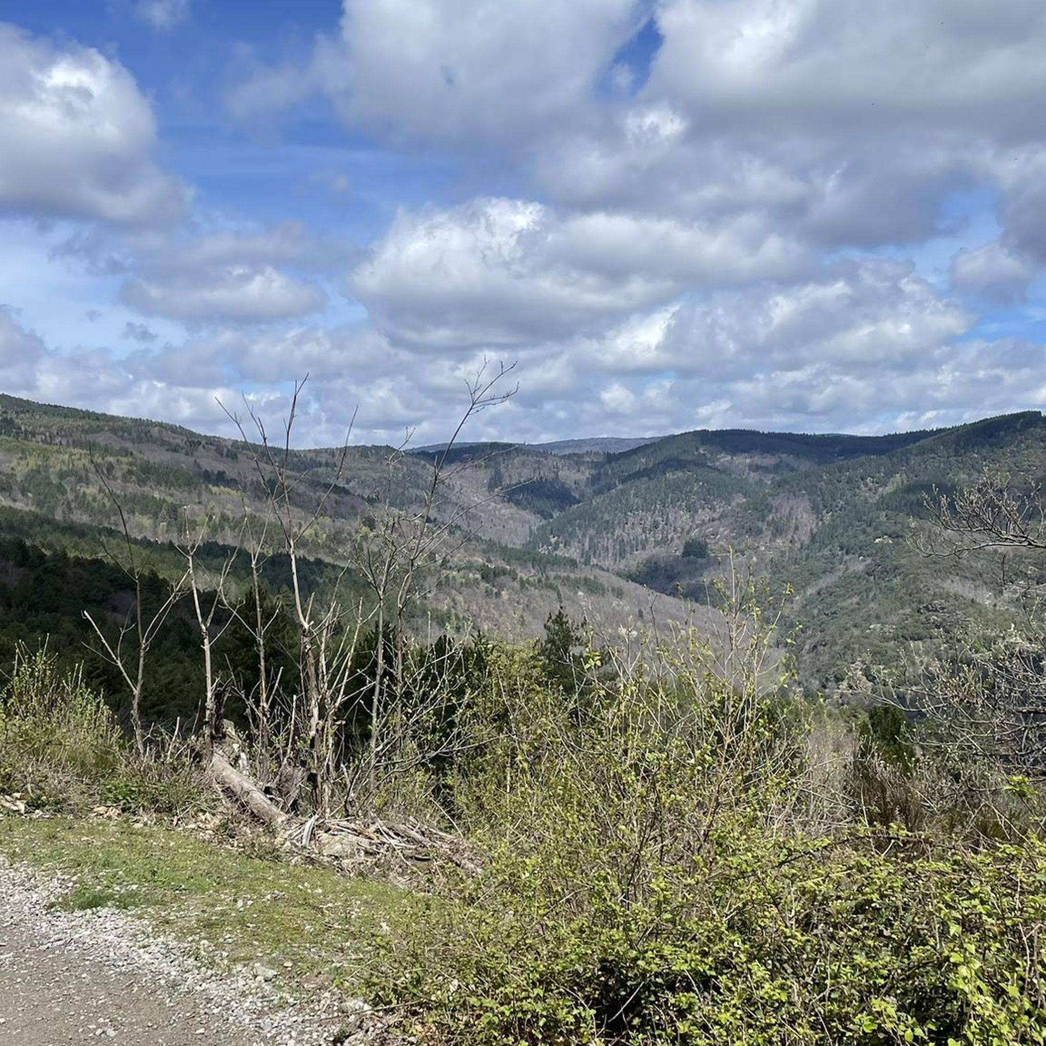
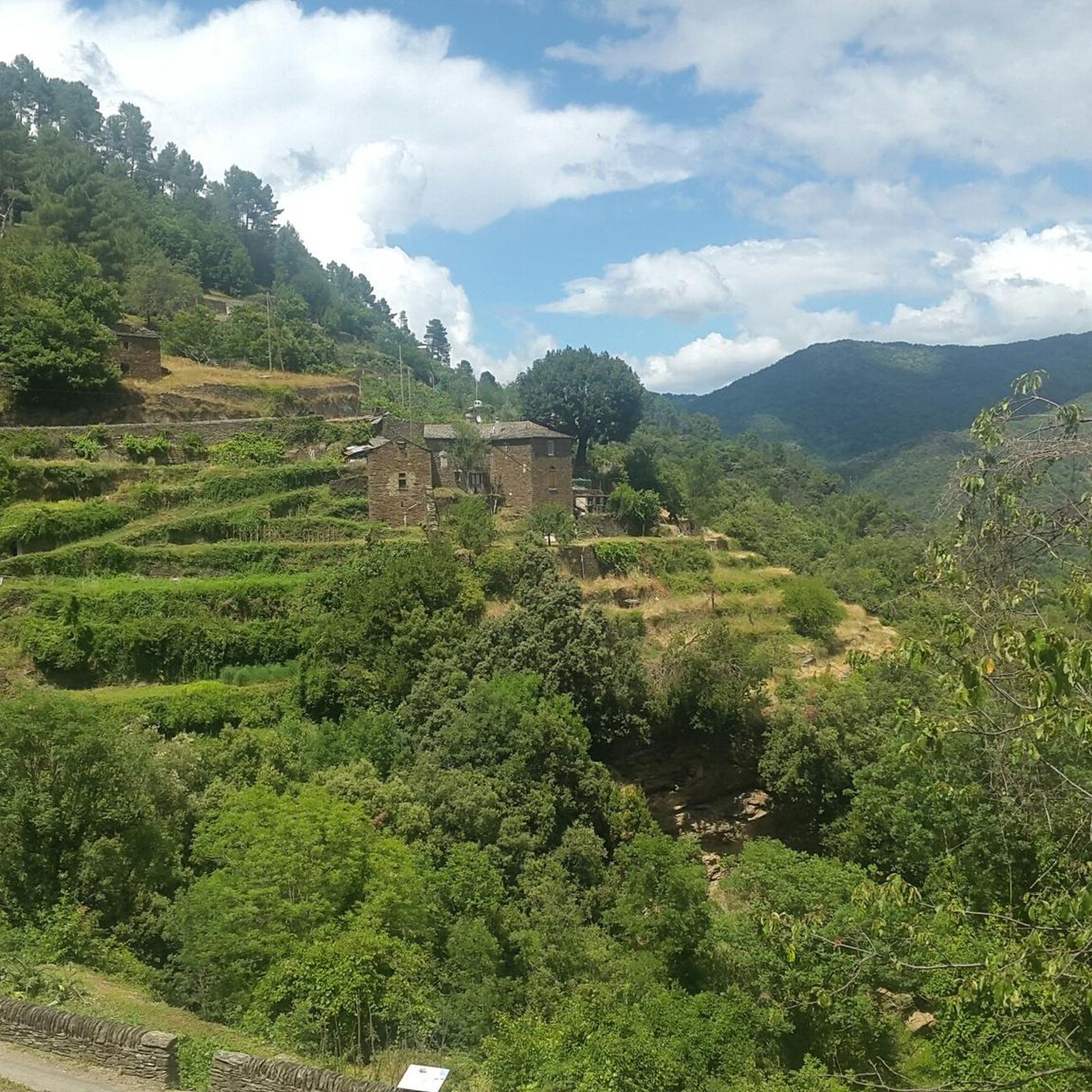
Gravel biking around Saint-Germain-De-Calberte offers routes through the rugged terrain of the Cévennes mountains. The landscape is characterized by forested hills, deep river valleys, and a network of unpaved roads and tracks. Elevation changes are significant, providing challenging climbs and descents suitable for experienced gravel bikers.
Best gravel bike trails around Saint-Germain-De-Calberte
- The most popular gravel bike trail is Saint-Étienne-Vallée-Française – Viewpoint loop from Saint-Étienne-Vallée-Française, a 26.0 miles (41.8 km) trail that takes 3 hours 55 minutes to complete.…
Last updated: October 11, 2026
5.0
(2)
6
riders
41.8km
03:55
1,190m
1,190m
Hard gravel ride. Very good fitness required. Mostly paved surfaces. Suitable for all skill levels.
4.7
(7)
20
riders
43.7km
02:54
690m
690m
Hard gravel ride. Very good fitness required. Mostly paved surfaces. Suitable for all skill levels.

4
riders
130km
10:33
2,510m
2,510m
Hard gravel ride. Very good fitness required. Mostly paved surfaces. Suitable for all skill levels.
5.0
(1)
3
riders
28.3km
02:20
690m
690m
Hard gravel ride. Very good fitness required. Mostly paved surfaces. Suitable for all skill levels.
2.0
(1)
5
riders
Hard gravel ride. Very good fitness required. Mostly paved surfaces. Suitable for all skill levels.
Our route recommendations are based on thousands of hikes, rides, and runs completed by other people on komoot.
Start today with a free account
Your next adventure awaits.
Popular around Saint-Germain-De-Calberte
Other adventures around Saint-Germain-De-Calberte

Tips from the Community


A bathing spot in the river and "UNESCO World Heritage Cevennes" I find really good 🤣
0
0

The Via Ardeche railway cycle path is a nice idea in itself, but unfortunately, the perfect surface (asphalt) is only present in the tunnel sections. The rest is rough concrete, gravel, and even worse.
0
0
The Via Ardeche railway cycle path is a nice idea in itself, but unfortunately, the perfect surface (asphalt) is only present in the tunnel sections. The rest is rough concrete, gravel, and even worse. It's pleasantly cool in the tunnel.
1
0
The Via Ardeche railway cycle path is a nice idea in itself, but unfortunately, the perfect surface (asphalt) is only present in the tunnel sections. The rest is rough concrete, gravel, and even worse.
1
1
The Via Ardeche railway cycle path is a nice idea in itself, but unfortunately, the perfect surface (asphalt) is only present in the tunnel sections. The rest is rough concrete, gravel, and even worse.
0
0
In the tunnel it is best to drive on the asphalt, after that there is too much grit on the asphalt or concrete
0
0

Beautiful route through the Cévennes, along the river with a tunnel.
0
1
Frequently Asked Questions
How many gravel bike trails are available around Saint-Germain-De-Calberte?
There are currently 4 gravel bike routes documented on komoot for the Saint-Germain-De-Calberte area. These trails are primarily suited for experienced riders due to the challenging terrain.
Are there any easy or beginner-friendly gravel bike routes in Saint-Germain-De-Calberte?
The gravel biking routes around Saint-Germain-De-Calberte are characterized by rugged terrain and significant elevation changes, making them generally difficult. There are no easy or beginner-friendly routes listed in this guide; all available routes are rated as difficult.
What are the typical lengths and durations of gravel bike routes in this region?
Gravel bike routes in Saint-Germain-De-Calberte vary in length and duration. For example, the Saint-Étienne-Vallée-Française – Viewpoint loop from Saint-Étienne-Vallée-Française is about 26.0 miles (41.8 km) and takes nearly 4 hours, while the Mount Aigoual – Mont Aigoual loop from Peyrolles is a much longer 61.6 miles (99.2 km) and can take over 8 hours to complete.
Are the gravel bike trails in Saint-Germain-De-Calberte mostly loop routes?
Yes, all the gravel bike routes featured in this guide for Saint-Germain-De-Calberte are designed as loops, allowing you to start and finish at the same point. Examples include the Barre-des-Cévennes – Town of Florac Trois-Rivières loop from Cassagnas and the Col du Mercou (570 m) – Mercou Pass loop from Saint-Jean-du-Gard.
What kind of terrain can I expect on the gravel bike trails around Saint-Germain-De-Calberte?
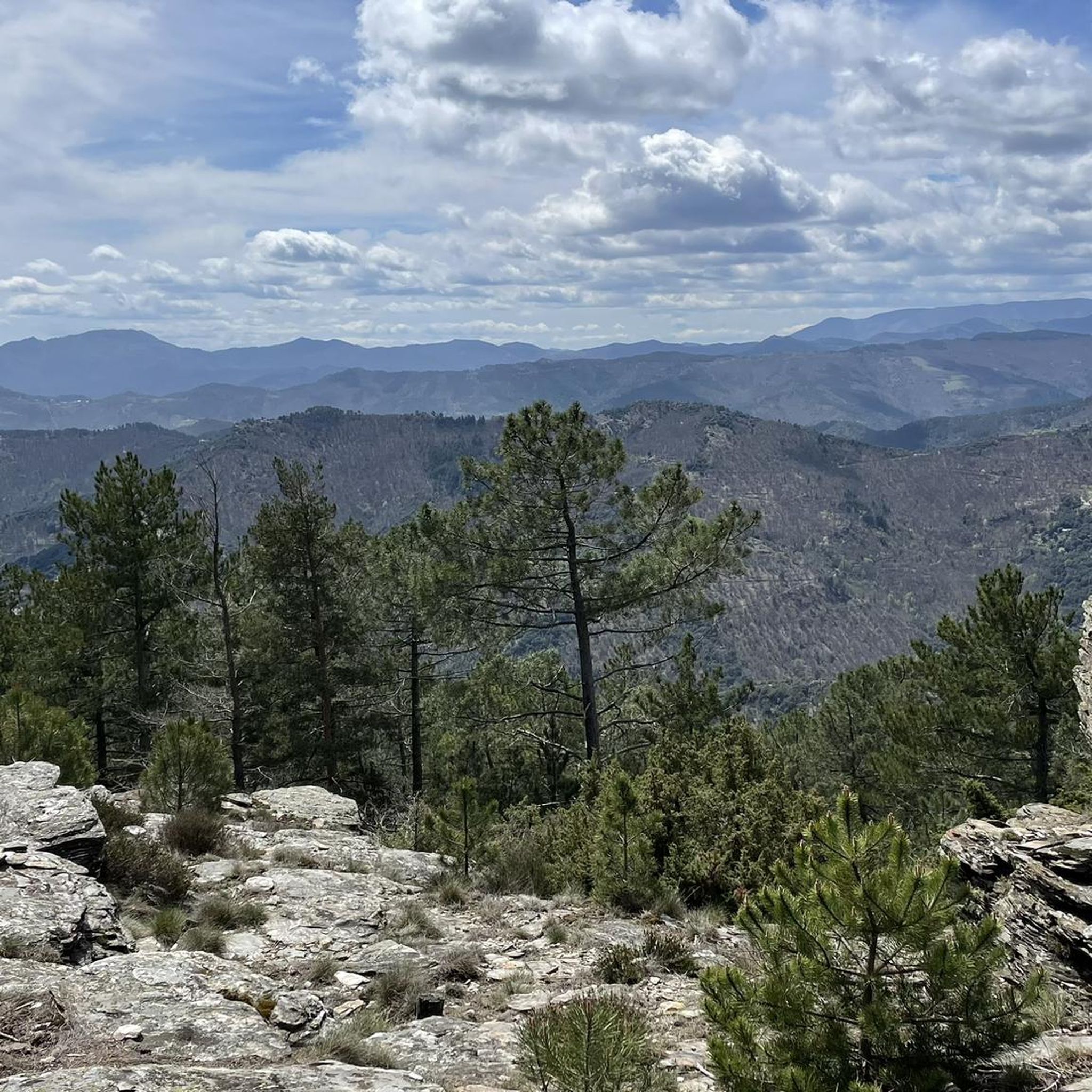
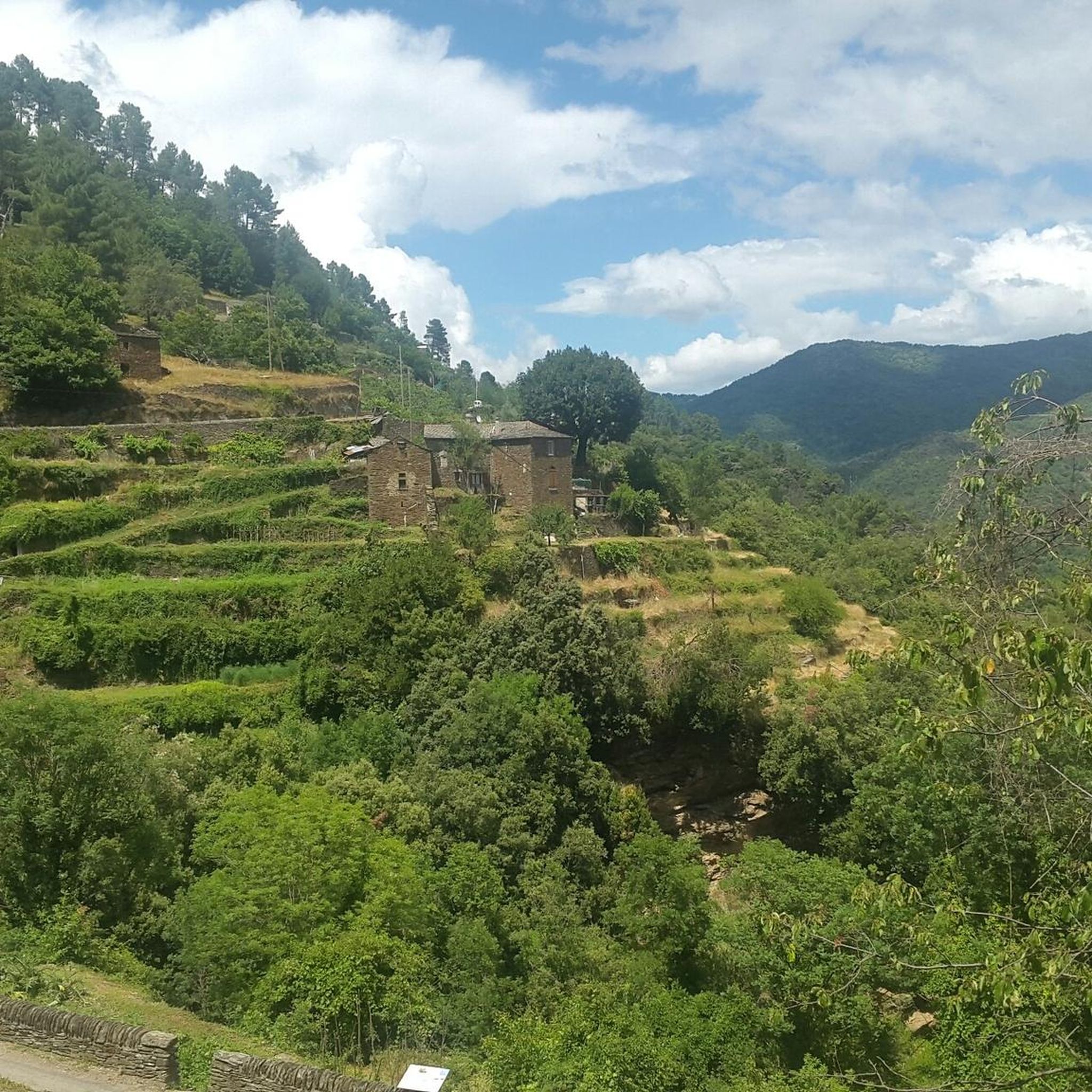
The terrain in Saint-Germain-De-Calberte is mountainous and rugged, typical of the Cévennes. You can expect a mix of forested hills, deep river valleys, and a network of unpaved roads and tracks. All routes feature significant elevation changes, providing challenging climbs and descents.
What do other gravel bikers say about the routes in Saint-Germain-De-Calberte?
The gravel biking routes in Saint-Germain-De-Calberte are highly rated by the komoot community, with an average score of 4.3 stars from over 10 reviews. More than 30 gravel bikers have used komoot to explore the varied and challenging terrain, often praising the mountainous landscapes and dense woodlands.
Are there any scenic viewpoints or natural monuments along the gravel bike routes?
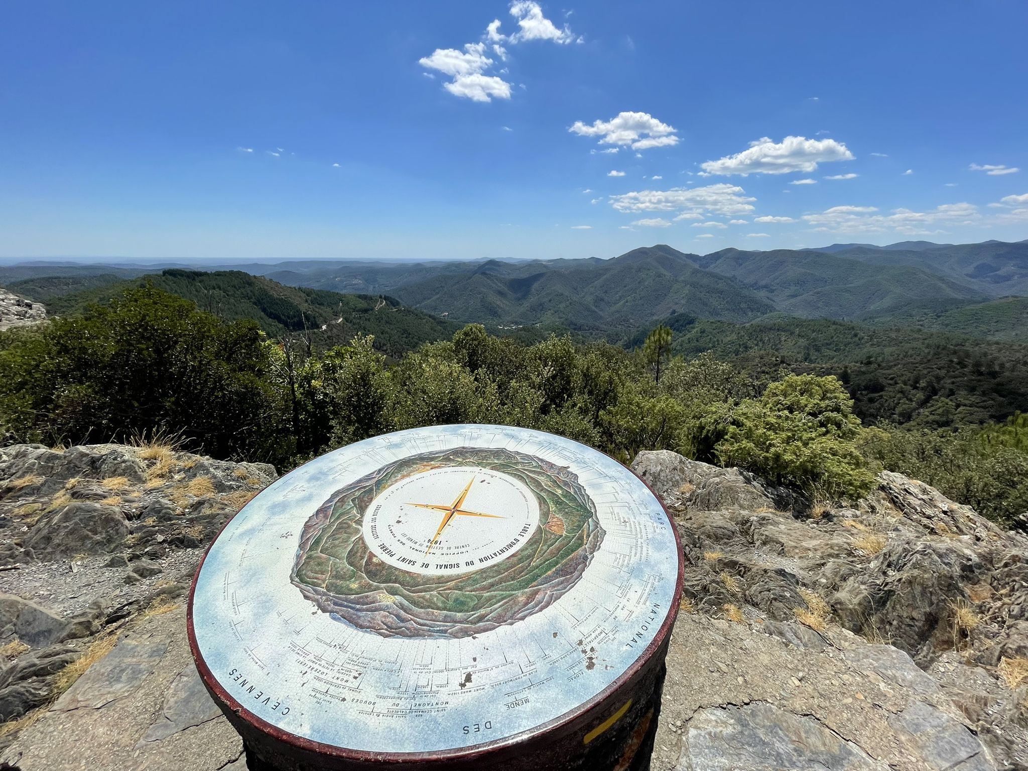
Yes, the region offers several scenic spots. You can find viewpoints like the Signal de Saint-Pierre Orientation Table and Cairn and Panorama. Other natural features include the Abarines Bridge and the Col de la Croix de Berthel.
What are some interesting landmarks or places to see near the gravel biking trails?
Beyond the trails, you can explore local landmarks such as the Saint-Germain-de-Calberte War Memorial and Tribute to the Cévenols, or visit the historic Saint Stephen's Church. The charming village of Saint-André-de-Valborgne is also nearby.
What is the best time of year for gravel biking in Saint-Germain-De-Calberte?
Given the mountainous terrain of the Cévennes, spring and autumn generally offer the most pleasant conditions for gravel biking, with milder temperatures and beautiful scenery. Summers can be hot, and winters may bring colder weather and potentially snow at higher elevations, especially around Mount Aigoual.
Is winter gravel biking feasible in Saint-Germain-De-Calberte?
Winter gravel biking in Saint-Germain-De-Calberte can be challenging due to the region's mountainous character. Higher elevations, such as those found on the Mount Aigoual – Mont Aigoual loop from Saumane, may experience snow and colder temperatures. It's advisable to check local weather conditions and trail reports before attempting winter rides.
Are there specific parking areas recommended for accessing the gravel bike trails?
While specific parking areas are not detailed in the route descriptions, many loop trails start and end in or near villages, such as Saint-Étienne-Vallée-Française, Cassagnas, Peyrolles, or Saint-Jean-du-Gard. It is generally possible to find public parking in these locations to begin your ride.
Most popular routes around Saint-Germain-De-Calberte
Most popular attractions around Saint-Germain-De-Calberte

Get inspired with the komoot mobile app


Explore more
Browse the best Gravel rides in other regions.
