The best road cycling routes in Cape Hatteras National Seashore
4.0
(2)
119
riders
5
rides
Road cycling in Cape Hatteras National Seashore is characterized by its flat terrain across a barrier island ecosystem. The region features miles of sandy beaches, shifting sand dunes, and coastal roads. Salt marshes and maritime forests provide varied scenery, while the Atlantic Ocean and Pamlico-Albemarle Sound are often visible simultaneously. The landscape offers a consistent, low-elevation cycling experience.
Best road cycling routes in Cape Hatteras National Seashore
- The most popular road cycling route is Futuro House loop from Billy Mitchell…
Last updated: August 21, 2026
13
riders
20.8km
01:38
20m
20m
Easy road ride. Great for any fitness level. Mostly well-paved surfaces and easy to ride.
11
riders
13.9km
00:31
0m
0m
Easy road ride. Great for any fitness level. Mostly well-paved surfaces and easy to ride.

Sign up for free
32
riders
44.2km
01:38
30m
30m
Easy road ride. Great for any fitness level. Mostly well-paved surfaces and easy to ride.
4.0
(1)
10
riders
39.8km
01:49
20m
20m
Easy road ride. Great for any fitness level. Mostly well-paved surfaces and easy to ride.
7
riders
24.7km
00:57
10m
10m
Easy road ride. Great for any fitness level. Mostly well-paved surfaces and easy to ride.
Our route recommendations are based on thousands of hikes, rides, and runs completed by other people on komoot.
Start today with a free account
Your next adventure awaits.
Login or Signup
Popular around Cape Hatteras National Seashore

Tips from the Community

The Graveyard of the Atlantic Museum honors the thousands of shipwrecks off North Carolina’s coast and explores the region’s maritime history from piracy and war to storms and rescue missions. Exhibits include a Fresnel lens from Cape Hatteras Lighthouse, a Monomoy surfboat, and artifacts from the Civil War and World War II. Admission is free, and the museum is open Monday through Friday with interactive displays and scavenger hunts for kids.
1
0
The Ocracoke–Hatteras ferry runs multiple times daily, with departures roughly every 30–60 minutes depending on season and weather. The crossing takes about one hour, skimming across the shallow waters and shifting shoals of Hatteras Inlet. The terminal includes restrooms, shaded waiting areas, and a check-in area for this free, first-come, first-served route, making it one of the most accessible and scenic crossings in the North Carolina ferry system.
0
0

This was the hill from which the experiments were made
0
0

You can see it, but you don't have to. But pure nostalgia, since the first flight supposedly took place here.
0
0

At the top of Kill Devil Hills in North Carolina is the Wright Brothers National Memorial. Dominated by a 60-foot granite pylon, the memorial includes a visitor center with exhibits detailing the brothers' aviation experiments, a replica of the 1903 Wright Flyer, and markers indicating the takeoff and landing points of their historic flights. Managed by the National Park Service, the site stands near where the Wright brothers conducted their pioneering aviation experiments, offering visitors a glimpse into the birth of modern aviation and the lasting impact of the brothers' innovative spirit.
0
0
Definitely visit. A small footpath leads to a small viewing platform.
0
0

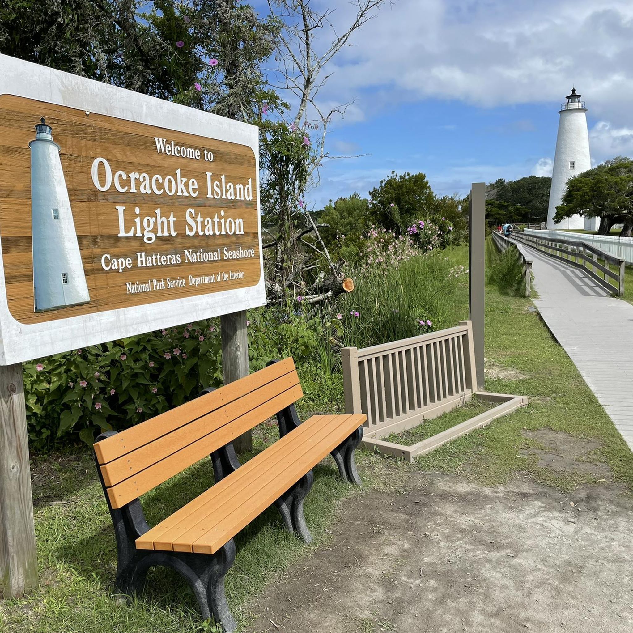
Beautiful area to stretch your feet, the lighthouse looks really nice too <3
0
0
Frequently Asked Questions
What is the typical terrain like for road cycling in Cape Hatteras National Seashore?
Road cycling in Cape Hatteras National Seashore is characterized by its relatively flat terrain, making it accessible for many riders. You'll experience a dynamic barrier island ecosystem with miles of sandy beaches, shifting sand dunes, and coastal roads. The landscape also transitions to salt marshes and maritime forests, offering varied scenery. The main artery, NC Route 12, provides a beautiful ride past these features, often with views of both the Atlantic Ocean and Pamlico-Albemarle Sound.
How many road cycling routes are available in Cape Hatteras National Seashore?
There are 5 road cycling routes available in Cape Hatteras National Seashore on komoot. Most of these routes are rated as easy, with one moderate option, providing a consistent, low-elevation cycling experience across the barrier islands.
What kind of natural features can I expect to see while road cycling here?
While road cycling in Cape Hatteras National Seashore, you'll encounter a diverse range of natural features. Expect to see unspoiled beaches and sand dunes, expansive salt marshes, and maritime forests. The area is a haven for wildlife, including numerous bird species, and you'll often have panoramic views of the Atlantic Ocean and Pamlico-Albemarle Sound, sometimes simultaneously due to the narrowness of the islands.
Are there any dedicated bike lanes or pathways for safer cycling?
Yes, while NC Route 12 serves as a primary cycling route, some northern settlements like Rodanthe, Waves, Salvo, and Avon offer dedicated bike lanes. Additionally, a new 1.6-mile multi-use pathway is being constructed along Lighthouse Road in the Hatteras Island District, leading to the Cape Hatteras Lighthouse and other beach access areas, further enhancing cycling safety and accessibility.
What are some notable landmarks or attractions I can visit along the road cycling routes?
Cape Hatteras National Seashore is rich in historic attractions. You can visit iconic lighthouses such as the Cape Hatteras Light Station and the Ocracoke Island Light Station. Other points of interest include restored lifesaving stations and the Graveyard of the Atlantic Museum, which tells the story of the area's maritime history and shipwrecks.
What is the best time of year to go road cycling in Cape Hatteras National Seashore?
The best time to road bike in Cape Hatteras National Seashore is generally during the spring and fall months. The weather is milder, and the crowds are typically smaller than in the peak summer season. Summer can be hot and humid, while winter can bring colder temperatures and strong winds, though seals can be observed during winter months.
Are there any loop routes available for road cyclists?
Yes, several loop routes are available. For example, you can explore the Futuro House loop from Billy Mitchell Airstrip, an easy 15.6-mile ride. Another option is the Parkers Hill – Ocracoke Ferry Terminal loop from Ocracoke, which is an easy 27.4-mile path traversing the island.
What do other road cyclists say about their experience in Cape Hatteras National Seashore?
The road cycling routes in Cape Hatteras National Seashore are highly rated by the komoot community, with an average score of 4.0 stars from 2 reviews. Cyclists often praise the consistent, low-elevation experience and the unique coastal landscapes, including views of the ocean and sound.
Is it possible to see wildlife while cycling in the area?
Yes, Cape Hatteras National Seashore is a haven for wildlife. The area is home to over 360 documented bird species, making it excellent for bird-watching, especially at Pea Island National Wildlife Refuge. Sea turtles nest along the beaches, and seals can be observed during winter months. The diverse ecosystems of salt marshes and maritime forests also support various other species.
Are there any routes that offer views of the lighthouses?
Yes, you can find routes that provide access to the iconic lighthouses. For instance, the Bodie Island Light Station loop from Little Penguin Island is a moderate 15.6-mile route that will bring you close to the Bodie Island Lighthouse. The new multi-use pathway along Lighthouse Road also leads directly to the Cape Hatteras Lighthouse area.
What is the elevation gain like on road cycling routes in Cape Hatteras National Seashore?
The road cycling routes in Cape Hatteras National Seashore are characterized by very minimal elevation gain. The terrain is largely flat, typical of a barrier island. For example, the Futuro House loop from Billy Mitchell Airstrip has an elevation gain of only about 27 meters over 15.6 miles, making for a generally easy and consistent ride.
Are there any facilities like ferry terminals accessible by bike?
Yes, some routes provide access to ferry terminals. The Parkers Hill – Ocracoke Ferry Terminal loop from Ocracoke specifically traverses the island and provides access to the Ocracoke Ferry Terminal. You can also reach the Cape Hatteras Ferry Terminal by bike.
Most popular routes in Cape Hatteras National Seashore
Most popular attractions in Cape Hatteras National Seashore

Get inspired with the komoot mobile app


Explore more
Browse the best Road cycling routes in other regions.
