The best walks and hikes in Pigeon Point County Park
4.8
(4)
94
hikers
10
hikes
Hikes in Pigeon Point County Park are characterized by coastal paths along the San Mateo County shoreline. The area features rocky bluffs, sandy coves, and grasslands with views of the Pacific Ocean. Most routes are relatively short and follow the coastline, offering accessible options for exploring the area around the historic Pigeon Point Lighthouse.
Best hiking trails in Pigeon Point County Park
- The most popular hiking route is Franklin Point Trailhead loop from Pescadero, a 4.3 mile (6.9 km)…
Last updated: June 27, 2026
4.0
(1)
14
hikers
Easy hike. Great for any fitness level. Easily-accessible paths. Suitable for all skill levels.
5.0
(1)
13
hikers
3.39km
00:52
10m
10m
Easy hike. Great for any fitness level. Easily-accessible paths. Suitable for all skill levels.

Sign up for free
5.0
(1)
11
hikers
6.97km
02:13
250m
270m
Moderate hike. Good fitness required. Easily-accessible paths. Suitable for all skill levels.
1.50km
00:24
10m
10m
Easy hike. Great for any fitness level. Easily-accessible paths. Suitable for all skill levels.
5.0
(1)
14
hikers
7.70km
02:19
260m
270m
Moderate hike. Good fitness required. Easily-accessible paths. Suitable for all skill levels.
Get access to more routes and recommendations from other explorers.
Sign up for free
Already have an account?
Our route recommendations are based on thousands of hikes, rides, and runs completed by other people on komoot.
Start today with a free account
Your next adventure awaits.
Login or Signup
Popular around Pigeon Point County Park
Tips from the Community

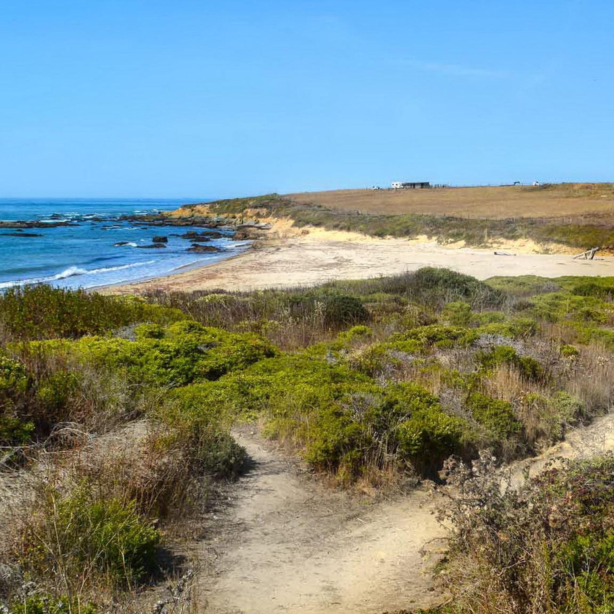
This is one of many beaches along this stretch of the Cabrillo Highway. Pretty much all the beach areas are just off the side of the road, and some even feature restrooms and picnic tables near the parking lots. Even if you don't want a long break, the view from this beachfront is worth pausing for.
2
0

This very nice campsite has a 25$ Hike&Bike offer (as of November 2023). Very clean bathrooms, shower with shampoo and soap included in the campsite fee. Wifi works at the tent spot, electricity and water are also nearby.
0
0

This direct trail leads about a mile southwest down to Mayal's Beach, a completely undisturbed natural beach. On the opposite side of the Highway a short trail connects to the Costanoa KOA campground. From the beach the Whitehouse Canyon trail continues along the coast to the south and then loops north to cross Highway 1 onto Rossi Road which returns to the campground along Whitehouse Creek to close the loop.
0
0

Natural beach a short walk from the parking and restroom area
1
1
Tafoni erosion causes the unusual forms of the rocks and pebbles at this beach.
0
0
Frequently Asked Questions
Are dogs allowed on the trails in Pigeon Point?
Generally, dogs are not permitted on the trails within Pigeon Point Light Station State Historic Park to protect the sensitive coastal environment and wildlife. It's always best to check the official park regulations before your visit for the most current rules.
What are some easy, family-friendly hikes in the area?
The area is well-suited for families. For a very gentle coastal walk, consider the Pebble Beach loop from Pebble Beach Farm. This short, flat trail is perfect for all ages and offers beautiful seaside views without any significant climbs.
Are there any circular hikes available?
Yes, there are several loop trails. For a moderately challenging circular route that explores the area's grasslands and offers a bit more elevation, the Tree Tipi loop from Pescadero is a great option that brings you back to your starting point.
What's the best way to get to the trails and where can I park?
Driving is the most practical way to reach the trailheads. There is a main parking lot at the Pigeon Point Light Station State Historic Park, which serves as a starting point for several coastal walks. Additional parking can be found at specific trailheads like the one for Wilbur's Watch.
Can I see the historic Pigeon Point Lighthouse?
Yes, you can. While the lighthouse tower itself is currently closed for restoration, you can still explore the grounds and admire its exterior. The historic Fog Signal Building is open and houses the original, impressive first-order Fresnel lens and exhibits on local maritime history.
What kind of wildlife might I see while hiking?
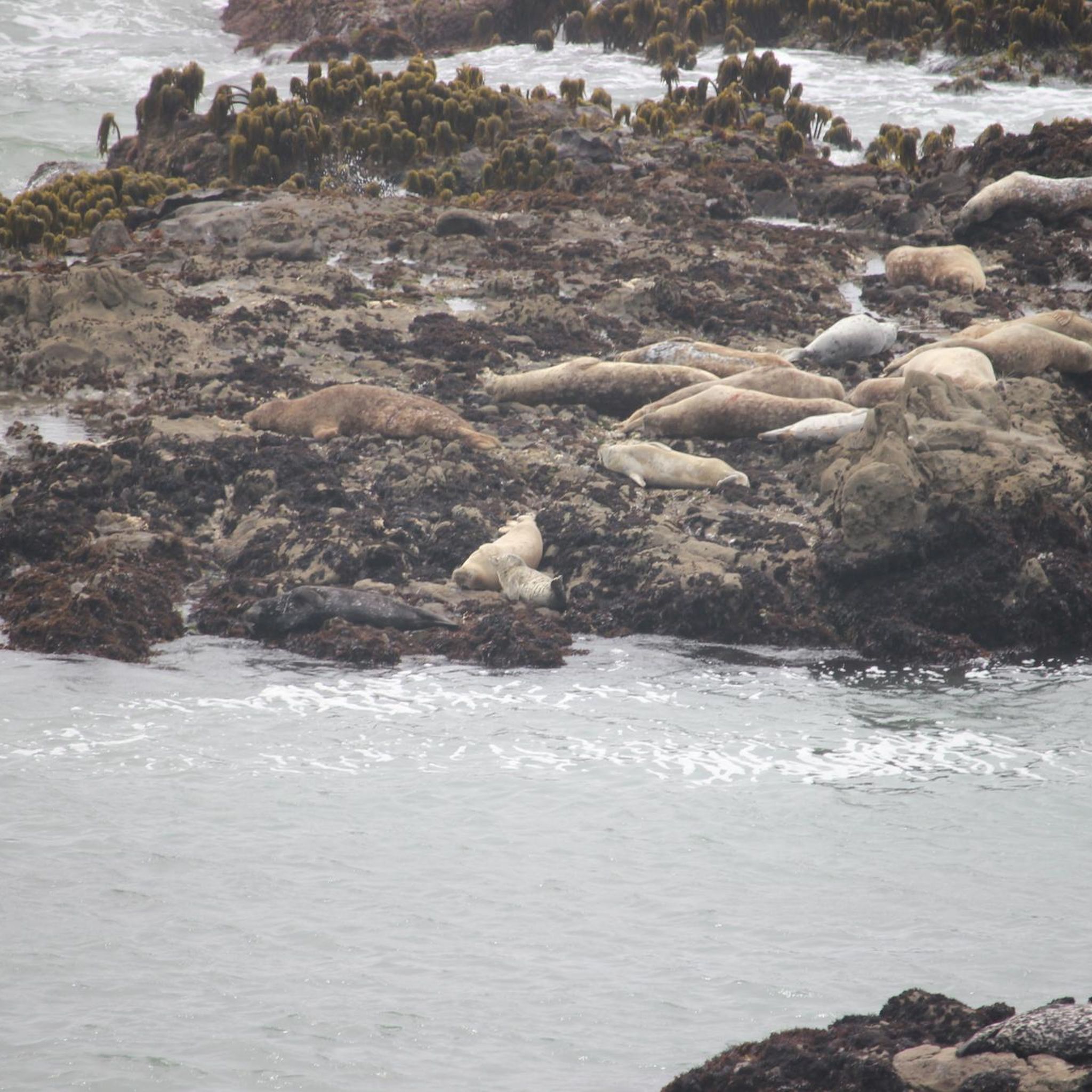
The coastline is rich with wildlife. From the bluffs and observation decks, you can often spot seals and dolphins. The area is also a prime location for whale watching, especially from November to April. Birdwatchers will also be pleased, as many native and migratory species inhabit the area.
Are there opportunities for tide pooling near the hiking trails?
Absolutely. The rocky reefs and intertidal zones flanking the light station are excellent for tide pooling, especially during low tide. You can easily combine a short coastal hike with exploring these areas to see a variety of marine plants and animals.
What should I wear for a hike at Pigeon Point?
Dressing in layers is key. The coastal weather can change quickly, shifting from sunny to foggy and windy. Wear sturdy walking shoes suitable for sandy paths and uneven ground. A windproof or waterproof jacket is highly recommended, even on clear days.
What are the trail conditions like?
Most trails are a mix of sandy paths, dirt tracks, and some boardwalk sections. They are generally well-maintained but can be exposed to the elements. Expect coastal winds and be prepared for some trails, like Wilbur's Watch, to have uphill sections with switchbacks.
When is the best time of day to hike for views?
Late afternoon leading into sunset often provides the most dramatic lighting and spectacular views of the Pacific Ocean and the lighthouse. However, be aware that fog can roll in at any time. For whale watching, any time of day is good during the migration season (November-April).
How many hiking trails are there in the Pigeon Point area?
You'll find a focused selection of trails in the immediate vicinity of the park. Komoot features around 7 curated routes, ranging from very easy coastal strolls to moderately challenging loops through the nearby grasslands.
What do other hikers think of the trails at Pigeon Point?
The hikes in this area are highly rated by the komoot community. Visitors often praise the stunning, unobstructed views of the Pacific coastline, the dramatic cliffs, and the chance to see the historic lighthouse from different perspectives along the trails.
Most popular routes in Pigeon Point County Park

Get inspired with the komoot mobile app


Explore more
Browse the best Hikes in other regions.
