The best road cycling routes in Pigeon Point County Park
5.0
(9)
363
riders
11
rides
Road cycling routes in Pigeon Point County Park offer diverse terrain along the California coast. The region is characterized by high bluffs, panoramic ocean views, and winding roads that transition to less trafficked inland routes. Cyclists encounter varied landscapes, from coastal vistas along Highway 1 to gradual climbs amidst picturesque scenery further inland. The area provides a mix of well-paved surfaces and more challenging sections with elevation changes.
Best road cycling routes in Pigeon Point County Park
- The most popular…
Last updated: November 8, 2026
5.0
(3)
121
riders
74.2km
03:28
870m
870m
Moderate road ride. Good fitness required. Mostly well-paved surfaces and easy to ride.
16
riders
Easy road ride. Mostly well-paved surfaces and easy to ride.

14
riders
77.5km
03:55
1,150m
1,150m
Hard road ride. Very good fitness required. Mostly well-paved surfaces and easy to ride.
8
riders
29.4km
01:15
230m
230m
Easy road ride. Mostly well-paved surfaces and easy to ride.
5.0
(5)
80
riders
44.6km
02:01
490m
490m
The Pescadero Creek Road & La Honda Road Loop offers a serene road cycling experience, winding through lush redwood forests and tranquil rural landscapes. You'll witness a beautiful transition from…
Get access to more routes and recommendations from other explorers.
Already have an account?
Our route recommendations are based on thousands of hikes, rides, and runs completed by other people on komoot.
Start today with a free account
Your next adventure awaits.
Popular around Pigeon Point County Park
Tips from the Community

The Bike Hut is a small hut with fresh water, organic teas and coffee and a variety of snacks for cyclist passing by. It is self-serve and open 24/7. There is also a small picnic area, a bathroom and a message board for posting road conditions or notes to fellow cyclists.
0
0

Old La Honda Road is considered one of the most challenging climbs in the Bay Area. The road winds through Redwood forests, offering stunning views of the surrounding mountains and valleys, as well as a peaceful and enjoyable ride.
1
0

Walk across the short sandy beach to the rocky coast and enjoy the Pacific
0
0

San Gregorio State Beach is the perfect spot for starting and finishing long road rides. There is free parking along with public restrooms and water fountains here. It's worth locking up the bike and walking out onto the beach before you leave after your ride.
1
0


Rest and refuel at this little hut on the side of Tunitas Creek rd. provided by Potrero Nuevo Farm open 24/7-365 for cyclists.
0
0

This is a perfect segment to recharge your batteries before reaching Pescadero and climbing the mountain
0
0

A beautiful spot, with the incredible natural arch on the one side and the marsh scenery on the other.
0
0
Frequently Asked Questions
How many road cycling routes are available in Pigeon Point County Park?
Pigeon Point County Park offers a selection of 11 road cycling routes. These routes cater to various skill levels, ranging from easy coastal rides to more challenging inland climbs.
Are there road cycling routes suitable for beginners in Pigeon Point County Park?
Yes, there are 3 easy road cycling routes in the park. A great option for beginners is the Downtown Pescadero – Pigeon Point Lighthouse loop from Mayal's Beach, which is 19.5 miles (31.4 km) and offers continuous ocean vistas with minimal elevation gain.
What kind of challenges can advanced road cyclists expect in this region?
For advanced cyclists, Pigeon Point County Park features 3 difficult routes that include significant elevation changes and winding roads. The Pescadero Creek Road – Stage Road loop from Pescadero is a challenging 46.1 miles (74.2 km) route with over 1291 meters of ascent, providing a robust workout amidst scenic landscapes.
Are there any loop trails for road cycling in Pigeon Point County Park?
Many of the road cycling routes in Pigeon Point County Park are designed as loops, allowing you to start and end at the same point. For example, the Stage Road – Downtown Pescadero loop from Mayal's Beach offers a varied coastal and inland experience.
What are the best scenic viewpoints along the road cycling routes?
The coastal sections along Highway 1 offer continuous ocean vistas and breathtaking views from the high bluffs. The iconic Pigeon Point Lighthouse itself is a prominent landmark and a fantastic viewpoint. Inland routes also provide picturesque scenery amidst less trafficked roads.
What wildlife might I encounter while road cycling in Pigeon Point County Park?
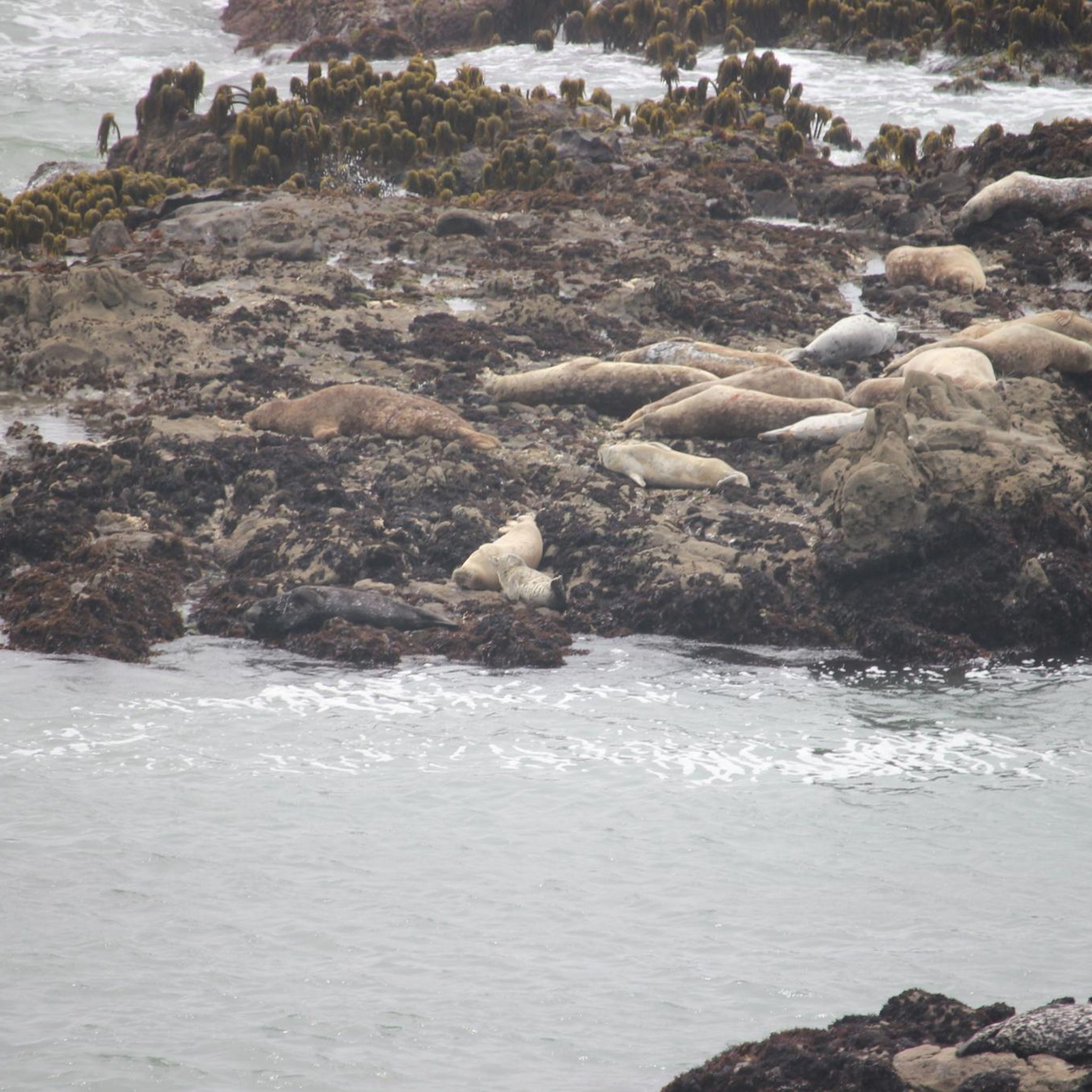
The area is rich in marine wildlife. From the coastal bluffs, you can often spot harbor seals, and during seasonal migrations, gray, humpback, and even blue whales. Nearby Pescadero Marsh is a haven for over 200 bird species, and you might even glimpse the endangered San Francisco garter snake.
Are there any cafes or places to stop for refreshments near the road cycling routes?
Yes, many popular cycling routes, such as the Stage Road – Downtown Pescadero loop from Mayal's Beach, incorporate downtown Pescadero. This charming town offers various options for cafes and refreshments, making it a convenient stop during your ride.
What do other road cyclists enjoy the most about road cycling in Pigeon Point County Park?
The area is highly rated by the komoot community, with an average score of 5.0 stars from over 10 reviews. Reviewers often praise the diverse terrain, from stunning coastal views along Highway 1 to the quieter, picturesque inland roads, and the variety of routes suitable for different fitness levels.
What are some notable landmarks or attractions to see near the road cycling routes?
Beyond the stunning natural beauty, the most prominent landmark is the Pigeon Point Lighthouse, a historic structure guiding mariners since 1872. You can also explore the rich tide pools north of Pigeon Point or visit the nearby Pescadero Marsh, a significant wetland area.
What is the best time of year to go road cycling in Pigeon Point County Park?
The California coast generally offers pleasant cycling conditions year-round. However, be prepared for potential strong crosswinds along the coastal sections, especially during certain seasons. Checking local weather forecasts before your ride is always recommended.
Are there any inland routes that offer a different cycling experience?
Absolutely. While coastal routes are popular, inland options like the Cloverdale Road – Downtown Pescadero loop from Quiroste Valley Cultural Preserve provide a different experience. These routes are often less trafficked, featuring gradual climbs amidst picturesque scenery and offering a peaceful escape from the coast.
Where can I find parking for road biking in Pigeon Point County Park?
Specific parking information can vary by route starting point. Many routes begin from areas like Mayal's Beach or near Quiroste Valley Cultural Preserve, which typically offer designated parking. It's advisable to check the route details on komoot for specific parking recommendations for your chosen tour.
Most popular routes in Pigeon Point County Park

Get inspired with the komoot mobile app


Explore more
Browse the best Road cycling routes in other regions.
