Top 4 Lakes in the Barisan Mountains
Looking to visit the best lakes in the Barisan Mountains? After all, there’s nothing better than the serenity of the lakeshore — or a quick dip when the weather’s warm. So, browse our list of Barisan Mountains’s top lakes below as recommended by the komoot community, and experience more on your next adventure!
Last updated: June 29, 2026
Pulau Cubadak
Highlight • Beach
Translated by Google •
Tip by

Danau Dibawah
Highlight • Lake
Tip by
Sign up now to discover places like this
Get recommendations on the best single tracks, peaks, & plenty of other exciting outdoor places.
Sign up for free
Pulau Bukik Tajun Island and Coral Reef
Highlight • Natural
Translated by Google •
Tip by
Danau Talang
Highlight • Lake
Tip by
View of Danau Diatas
Highlight • Viewpoint
Tip by
Start today with a free account
Your next adventure awaits.
Login or Signup
Tips from the Community

The island of Pulau Cubadak is located off the west coast of the island of Sumatra, approximately 25 km south of the provincial capital Padang. The island can be reached in 10 minutes by boat from the fishing port in Carocok on the mainland or by speedboat from Padang. Apart from a few fishing huts, the island is uninhabited and covered in tropical rainforest. The Cubadak Paradiso Village resort has been operating on the island's idyllic east coast since the mid-1990s. After almost 30 years, the resort closed permanently at the end of February 2022. The owners have dismantled and removed all usable materials and want to return the beach to nature. https://www.facebook.com/groups/150045401720459/ https://www.sunda-islands.com/lexikon-cubadak.php
2
0
The small rocky island of Pulau Bukik Tajun is located near Pulau Cubadak. The islands are connected to each other by a coral reef. At low tide, the surface of the coral reef is exposed and is not flooded by water.
2
0
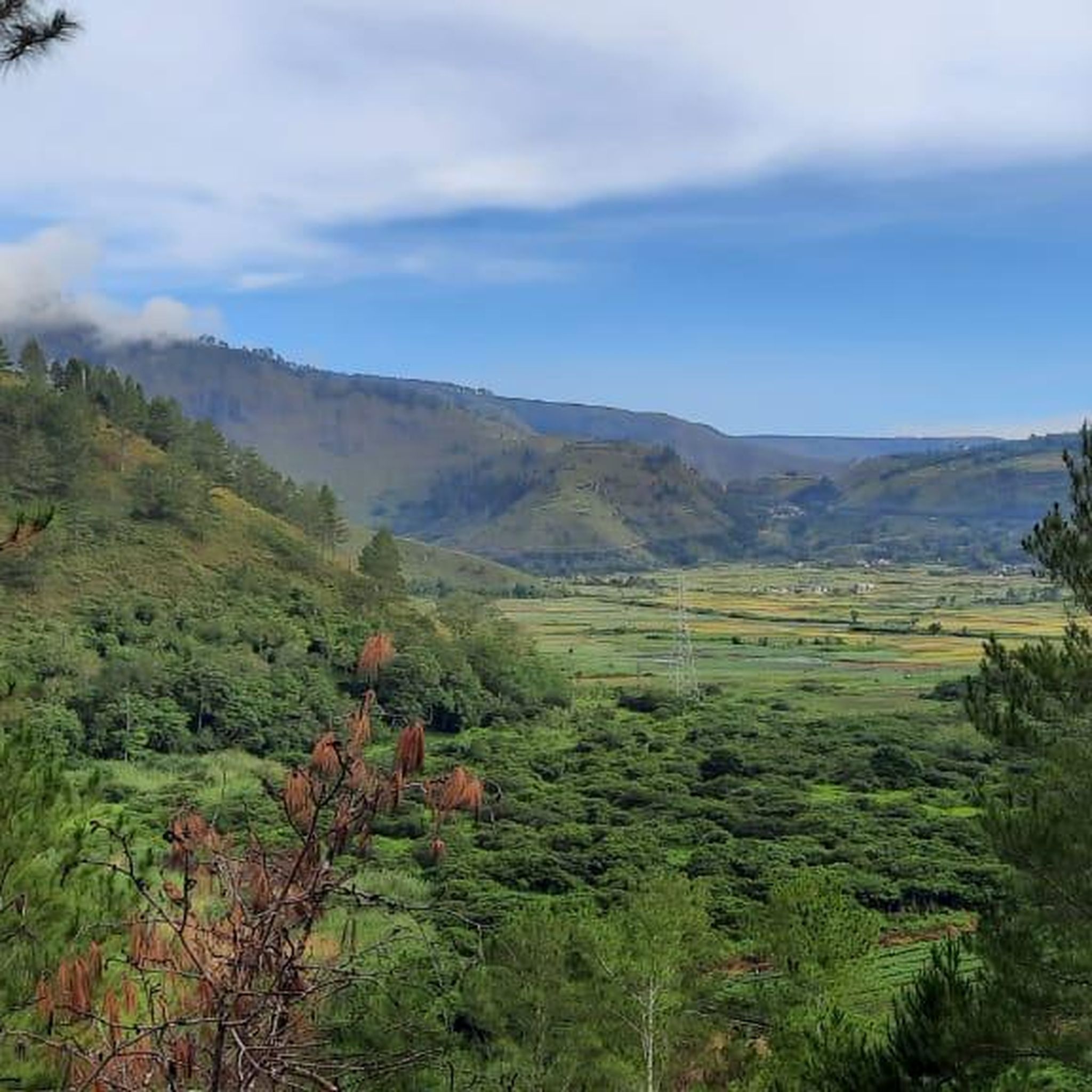
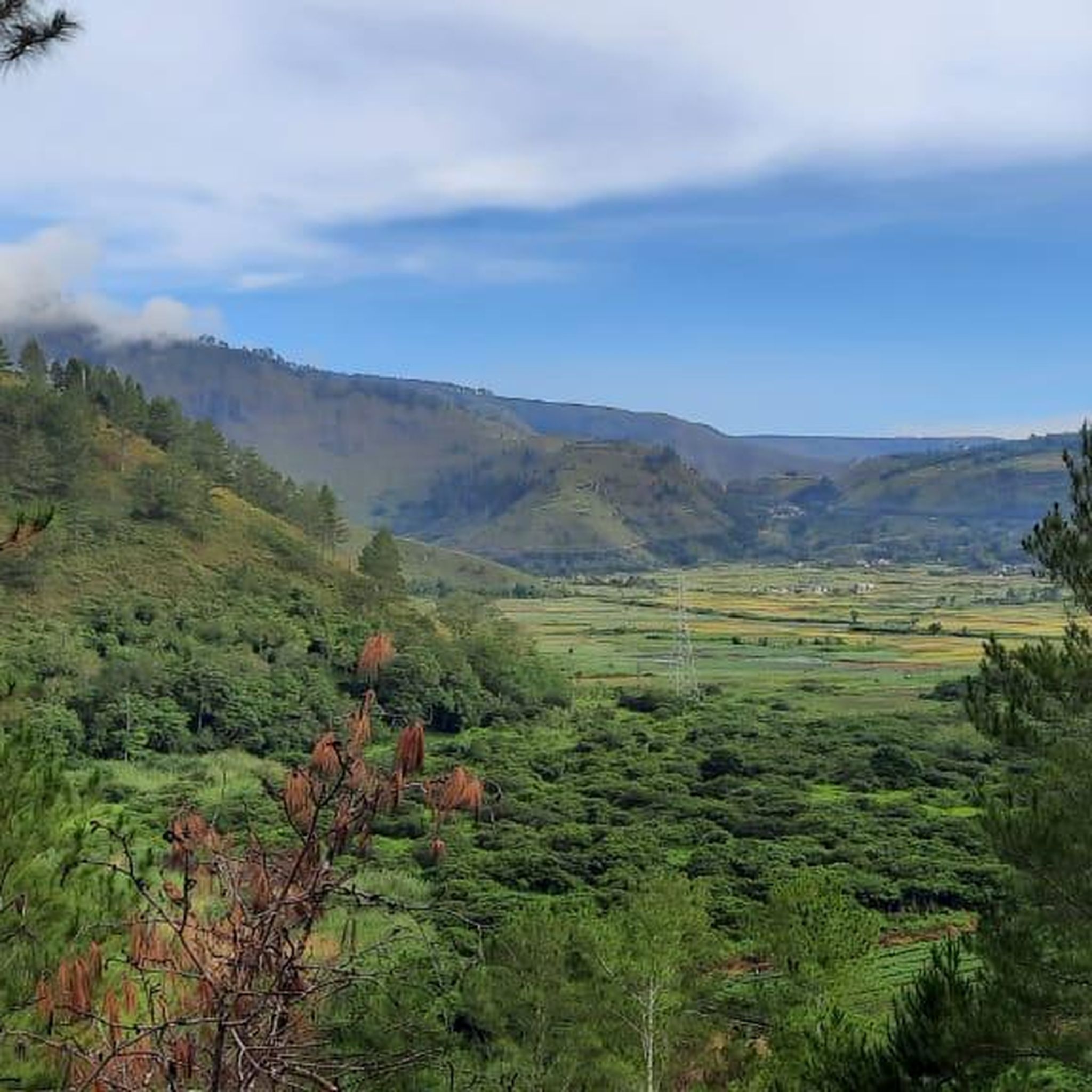
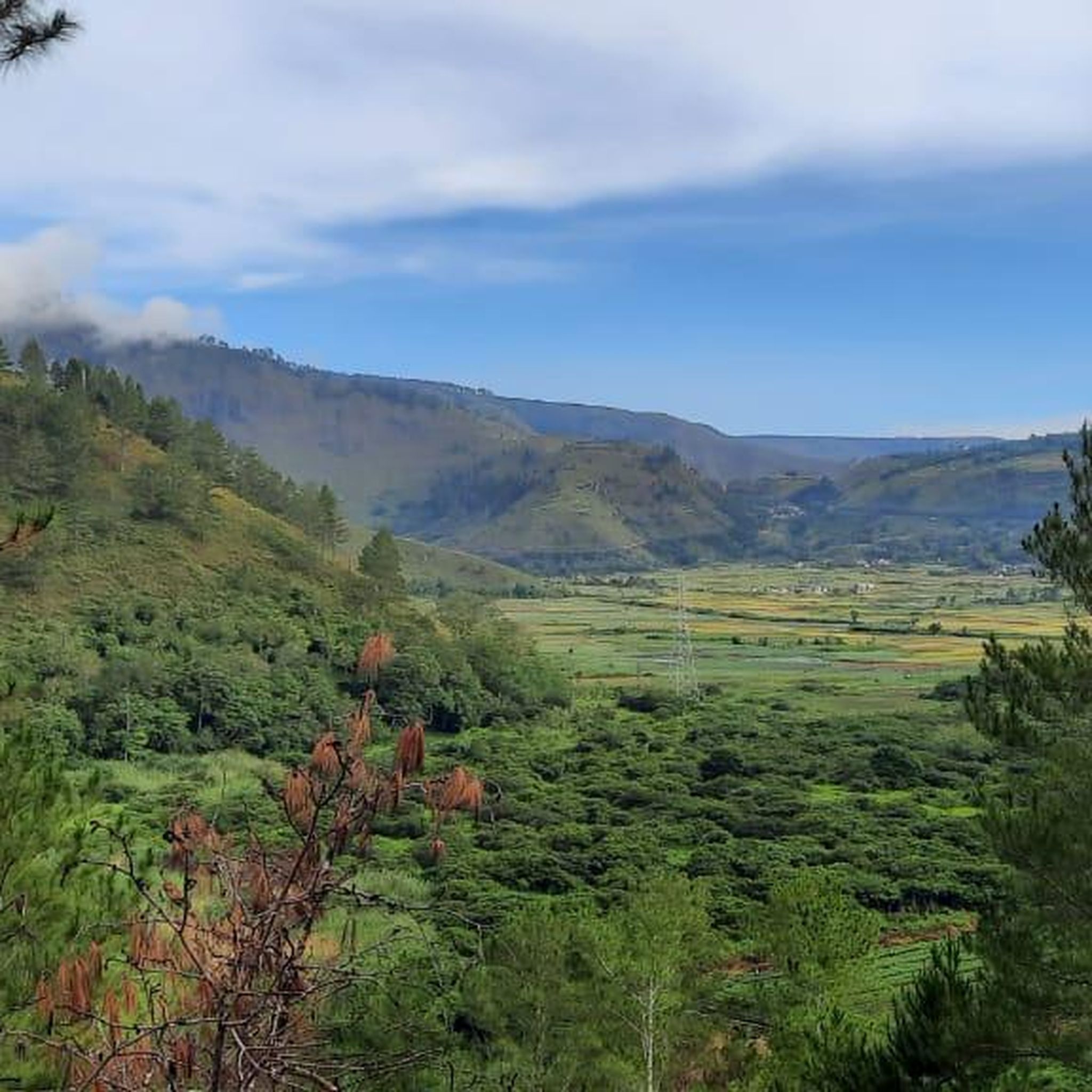
Danau Diatas is located at an elevation of 1,531 m. It is classified as a tectonic lake because of the tectonic process of the large Sumatra fault. The main outlet is Gumanti River which then integrates with Batanghari River and empties into the Malacca Strait. Danau Diatas and Danau Dibawah are located side by side und separated by about 2 km. They are often called the Twin Lakes and have become a tourist spot of Sumatra Barat.
1
0
Danau Dibawah is located at an elevation of 1,462 m with an area of about 11.2 sq.km. It is classified as a tectonic lake. The main outflow from this lake is the Lembang River. Danau Dibawah and Danau Diatas are located side by side und separated by about 2 km. They are often called the Twin Lakes and have become a tourist spot of Sumatra Barat.
1
0
Danau Talang is a volcanic lake formed from one of the craters of Gunung Talang. With a surface area of 5 sq.km it lies at an altitude of about 1,670 m.
1
0
Most popular routes in the Barisan Mountains
Most popular attractions in the Barisan Mountains

Get inspired with the komoot mobile app


Explore more
Still not found your perfect lake in the Barisan Mountains? Check out the guides of these regions to see even more beautiful places.
