The 4 Most Amazing Peaks around Lichtenwald
Best mountain peaks around Lichtenwald are found within a landscape characterized by wooded hills and forests rather than towering summits. Lichtenwald, situated in the Schurwald forest, has an average elevation of 467 meters. The highest point in the Schurwald forest, the Kernen, reaches 513.2 meters. This region offers extensive forests and hilly terrain, providing a natural environment for activities like hiking and mountain biking.
Best mountain peaks around Lichtenwald
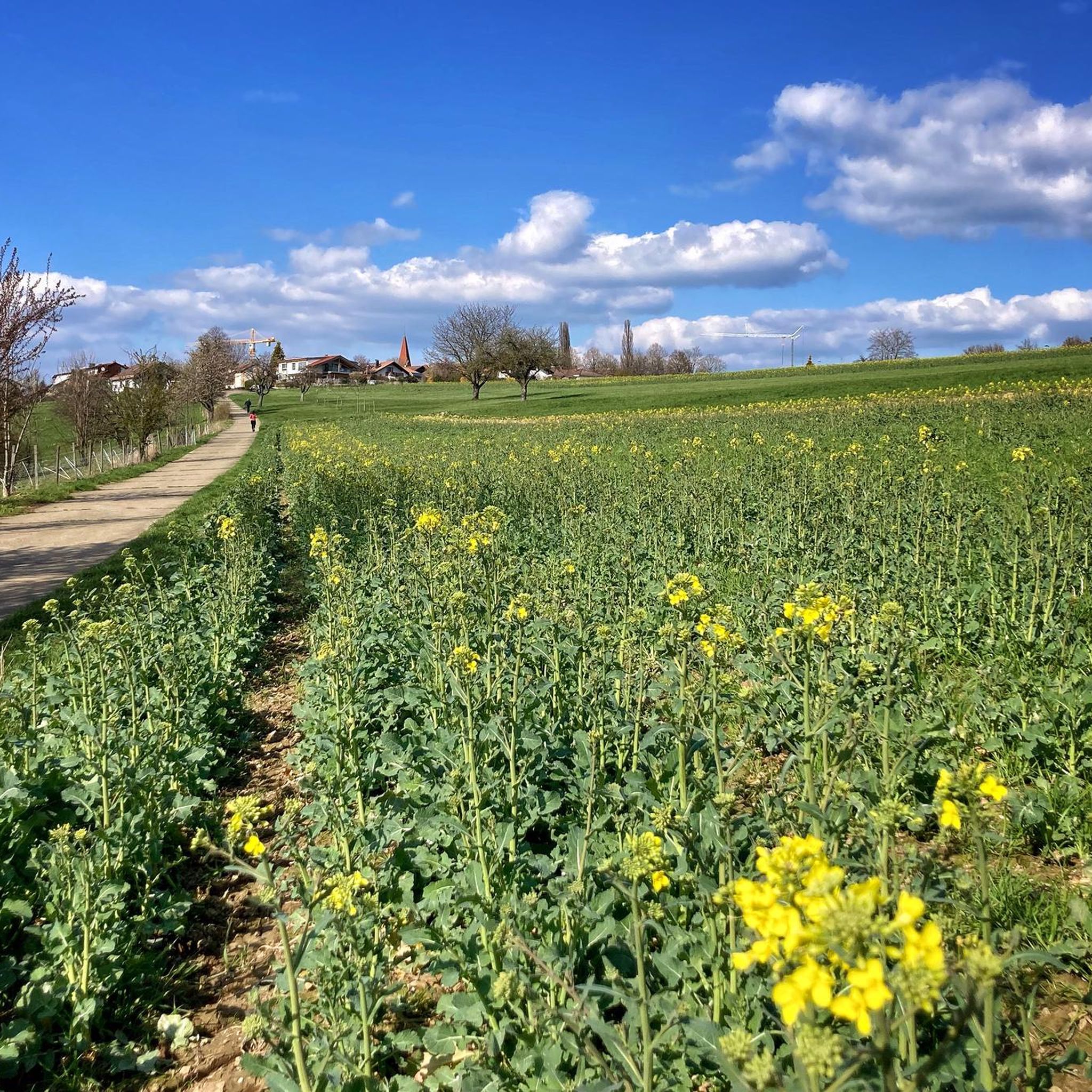
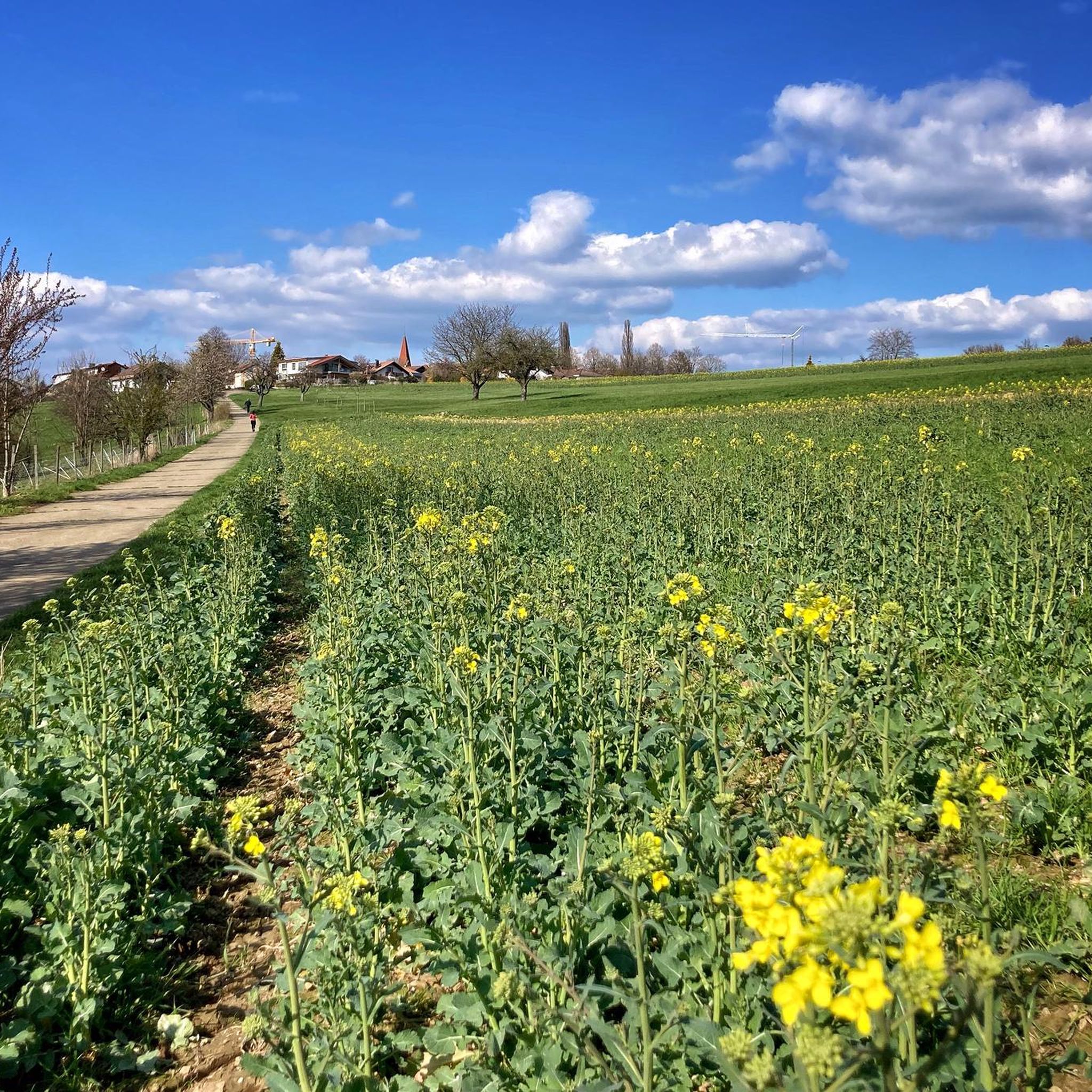
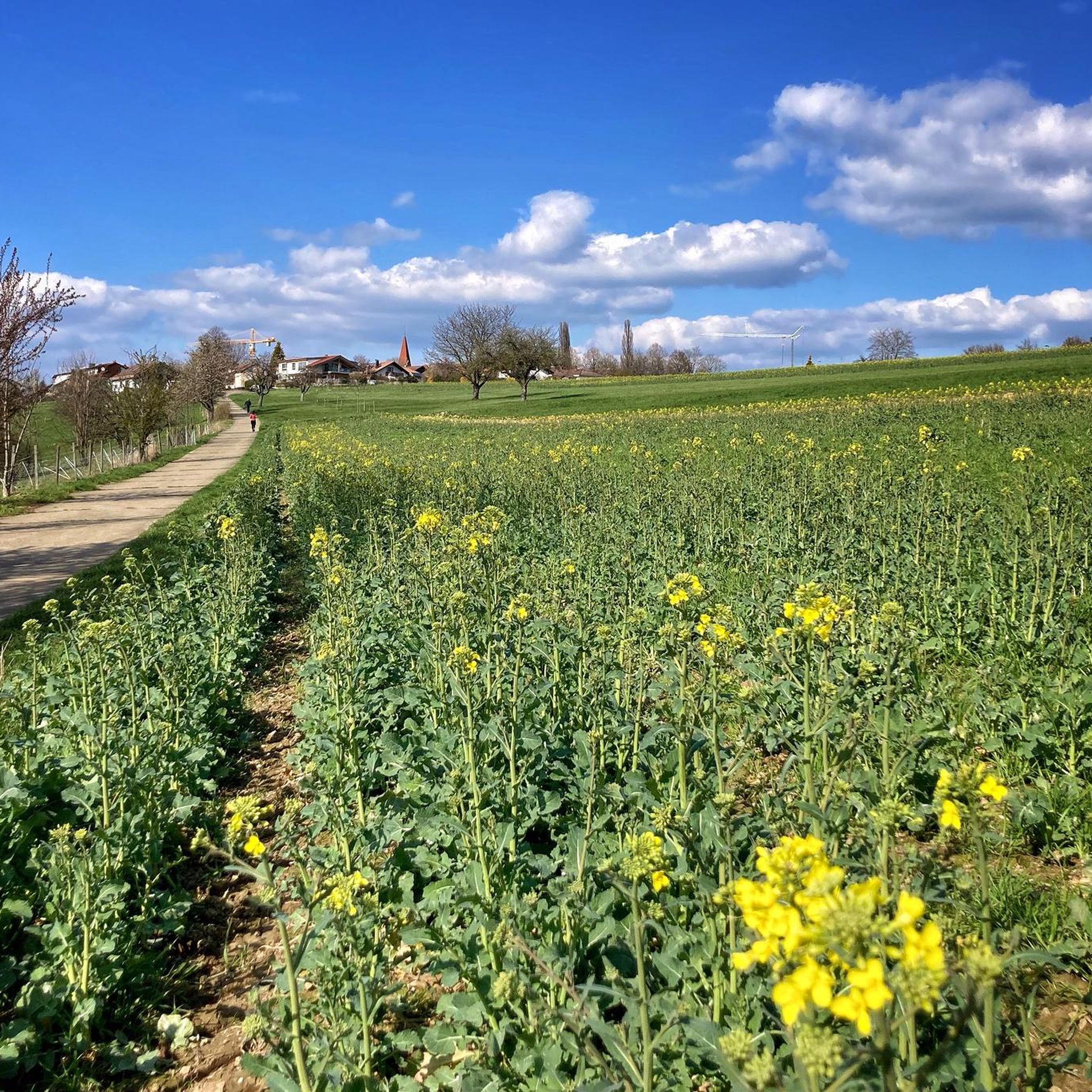
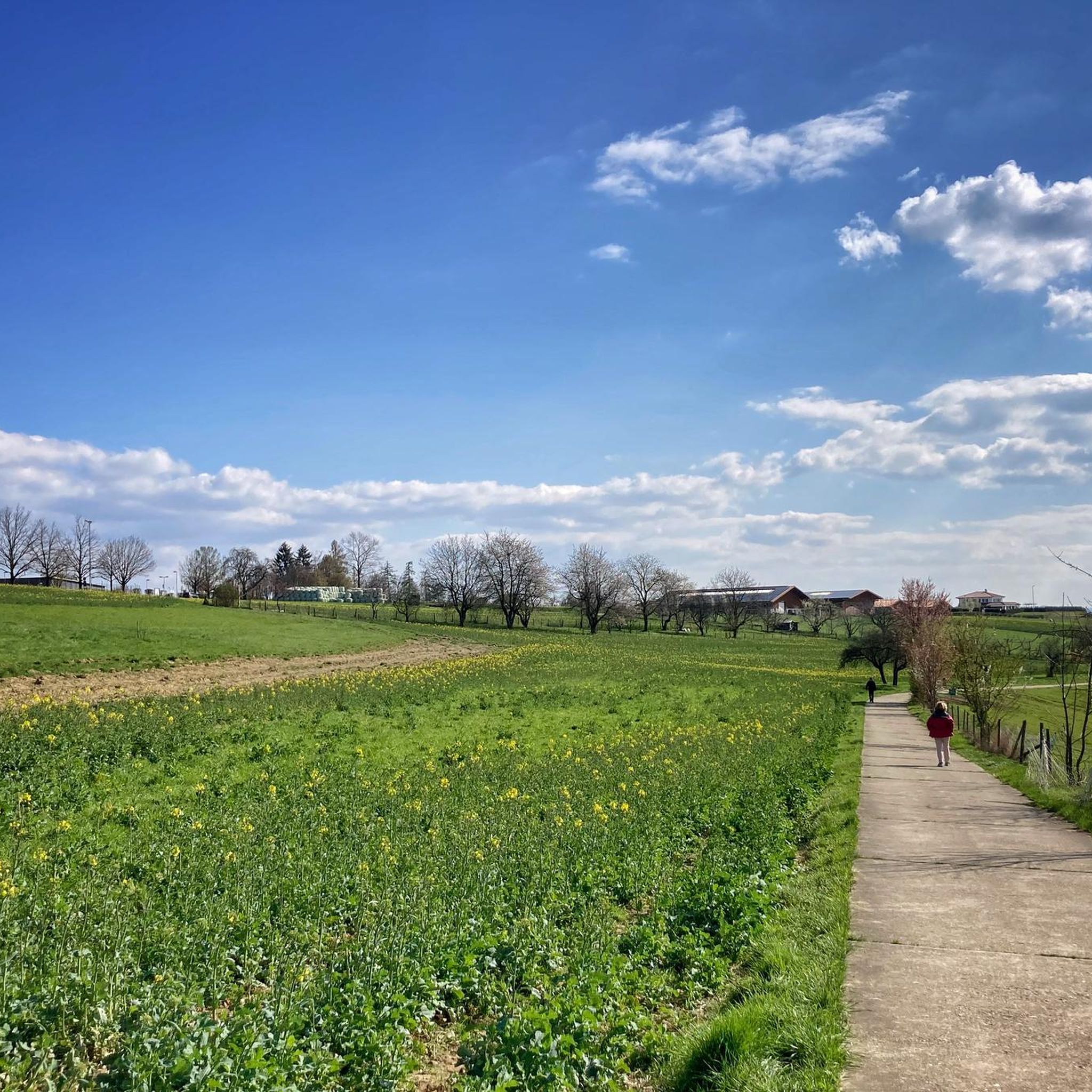
- The most popular mountain peaks is Luitenbächer Höhe Viewpoint, a viewpoint located in the middle of vineyards. It offers a clear view over the lower Rems valley to Stuttgart.
- Another must-see spot is Water Tower Near Buhlbronn, a man-made monument. Visitors can expect panoramic views extending from the Alb to the Odenwald.
- Visitors also love View of Schorndorf from Grafenberg, a viewpoint offering a clear view of Schorndorf. This location is known for its scenic outlooks.
- Lichtenwald is known for its viewpoints, forested summits, and man-made monuments offering panoramic views. The area provides a variety of elevated spots to see and explore the surrounding hilly terrain.
- The mountain peaks around Lichtenwald are appreciated by the komoot community, with over 730 upvotes and 370 photos shared by visitors.
Last updated: October 2, 2026
Luitenbächer Höhe Viewpoint
Highlight • Viewpoint
Translated by Google •
Tip by

Water Tower Near Buhlbronn
Highlight • Monument
Translated by Google •
Tip by

Sign up now to discover places like this
Get recommendations on the best single tracks, peaks, & plenty of other exciting outdoor places.
View of Schorndorf from Grafenberg
Highlight • Viewpoint
Translated by Google •
Tip by

Wendlinger Forest
Highlight • Summit
Translated by Google •
Tip by

Highest Point in Berglen (519.6 m)
Highlight • Summit
Translated by Google •
Tip by

Sign up for free to discover even more peaks around Lichtenwald.
Already have an account?
Start today with a free account
Your next adventure awaits.
Tips from the Community


Does not belong to the municipality of Berglen
0
0

From this point you can see as far as the Kaiser Mountains and across the Rems Valley.
0
0

A spot with a wonderful view
1
0

Wine is served every weekend and on public holidays from May to September. Private winemakers rotate. Opening times can be found online.
3
0

Brilliant view of the Remstal and the golden vineyards. Unfortunately there was a bit of a lack of sun
2
0

The intersection with the country road here is definitely not a highlight...
1
0

Grafenberg has the most beautiful view of Schorndorf.
10
1
Frequently Asked Questions
What kind of "mountain peaks" can I expect around Lichtenwald?
The Lichtenwald area, situated within the Schurwald forest, is characterized by wooded hills rather than towering mountain peaks. While you won't find traditional high-alpine summits, the region offers numerous elevated points and viewpoints that provide scenic vistas over the surrounding landscape. The highest point in the immediate vicinity is the Highest Point in Berglen (519.6 m), offering a sense of elevation within this hilly terrain.
Are there good viewpoints among the elevated points near Lichtenwald?
Yes, several elevated spots offer excellent views. The Luitenbächer Höhe Viewpoint provides a great perspective over the lower Rems valley towards Stuttgart. Another notable spot is the View of Schorndorf from Grafenberg, which offers a beautiful panorama of Schorndorf. The Water Tower Near Buhlbronn also provides a panoramic view stretching from the Swabian Alb to the Odenwald.
What outdoor activities can I do near these elevated points?
The hilly and forested landscape around Lichtenwald is ideal for various outdoor activities. You can explore numerous trails for hiking, running, and gravel biking. For specific routes, check out the Gravel biking around Lichtenwald guide, the Running Trails around Lichtenwald guide, and the Easy hikes around Lichtenwald guide.
Are there family-friendly trails or viewpoints in the Lichtenwald area?
Absolutely. Many of the elevated points and trails are suitable for families. The Luitenbächer Höhe Viewpoint, the Water Tower Near Buhlbronn, and the View of Schorndorf from Grafenberg are all categorized as family-friendly. The area's gentle, wooded paths make for pleasant walks for all ages.
What is the terrain and difficulty like for hiking around Lichtenwald?
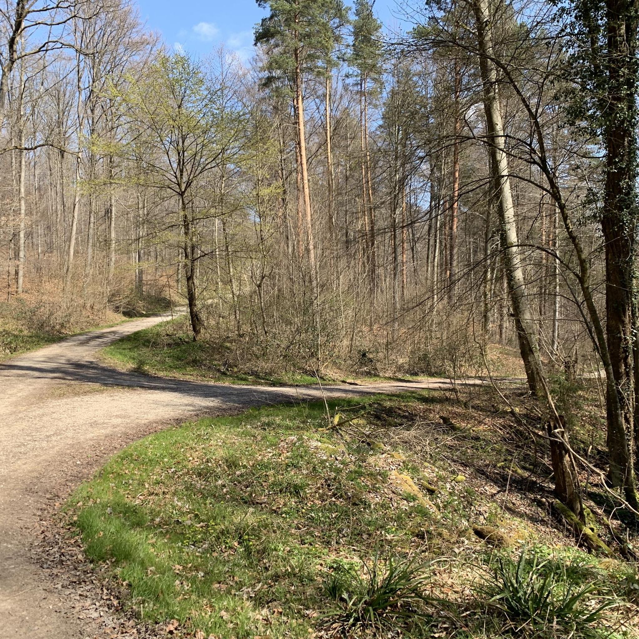
The terrain around Lichtenwald primarily consists of wooded hills with moderate elevations. You'll find a mix of finely graveled paths and natural trails, as seen in areas like the Wendlinger Forest. Most trails are considered easy to moderate, making them accessible for a wide range of hikers. Challenging mountain climbs in the traditional sense are not typical for this region, which is better suited for recreational hiking and biking.
What do visitors enjoy most about the elevated points around Lichtenwald?
Visitors frequently highlight the beautiful views and the peaceful, natural atmosphere. For instance, the Luitenbächer Höhe Viewpoint is praised for its great view over the Rems valley, and the View of Schorndorf from Grafenberg is noted for its brilliant panorama. The presence of benches at viewpoints like the Water Tower Near Buhlbronn also adds to the enjoyment, providing spots to rest and take in the scenery.
Are there any significant natural features or landmarks to see?
While the area is known for its extensive forests, specific natural features include the scenic views from various elevated points. Man-made landmarks that double as viewpoints, such as the Water Tower Near Buhlbronn, offer unique perspectives of the landscape. The overall natural feature is the dense, recreational Schurwald forest itself.
What is the best time to visit Lichtenwald for outdoor activities?
The Lichtenwald area is enjoyable year-round, but spring, summer, and autumn are particularly pleasant for hiking and biking. Spring brings blooming nature, summer offers warm weather for extended outings, and autumn showcases vibrant fall foliage. Even in winter, the wooded trails can be beautiful, though conditions may vary.
Where can I find more challenging mountain experiences in Baden-Württemberg?
For more traditional and challenging mountain experiences with significant elevations and expansive views, you would need to venture beyond Lichtenwald. The Black Forest offers peaks like Feldberg (1,493 m) and Belchen (1,414 m), known for their panoramic vistas and hiking opportunities. The Swabian Jura also features Lemberg (1,015.3 m), which has an observation tower offering far-reaching views.
Are there circular hiking trails available around Lichtenwald's elevated points?
Yes, the region offers many circular routes that incorporate the elevated points and viewpoints. For example, the Easy hikes around Lichtenwald guide features several loops, such as the "Gaudí-Style Artist House – View of the Swabian Jura loop from Lichtenwald," which allows you to experience the local scenery in a round trip.
Most popular routes around Lichtenwald
Most popular attractions around Lichtenwald

Get inspired with the komoot mobile app


Explore more
See even more amazing summits around Lichtenwald with these guides:
