The best road cycling routes around Lichtenwald
4.6
(697)
11,050
riders
189
rides
Road cycling routes around Lichtenwald traverse a varied landscape characterized by rolling hills, forested sections, and open views towards the Swabian Alb. The region features numerous climbs and descents, offering diverse challenges for road cyclists. Cycle paths often follow river valleys or old railway lines, providing smoother sections. The terrain includes both gentle gradients suitable for beginners and more demanding ascents for experienced riders.
Best road cycling routes around Lichtenwald
- The most popular road cycling route is Waldhausen–Rattenharz Climb –…
Last updated: July 6, 2026
4.4
(14)
129
riders
Moderate road ride. Good fitness required. Mostly well-paved surfaces and easy to ride.
4.9
(7)
119
riders
69.7km
03:27
980m
980m
Hard road ride. Very good fitness required. Some segments of this route may be unpaved and difficult to ride.

Sign up for free
4.3
(10)
127
riders
Easy road ride. Great for any fitness level. Mostly well-paved surfaces and easy to ride.
92
riders
61.4km
02:35
390m
390m
Moderate road ride. Good fitness required. Mostly well-paved surfaces and easy to ride.
4.5
(4)
94
riders
45.9km
02:10
580m
580m
Moderate road ride. Good fitness required. Mostly well-paved surfaces and easy to ride.
Get access to more routes and recommendations from other explorers.
Sign up for free
Already have an account?
Our route recommendations are based on thousands of hikes, rides, and runs completed by other people on komoot.
Start today with a free account
Your next adventure awaits.
Login or Signup
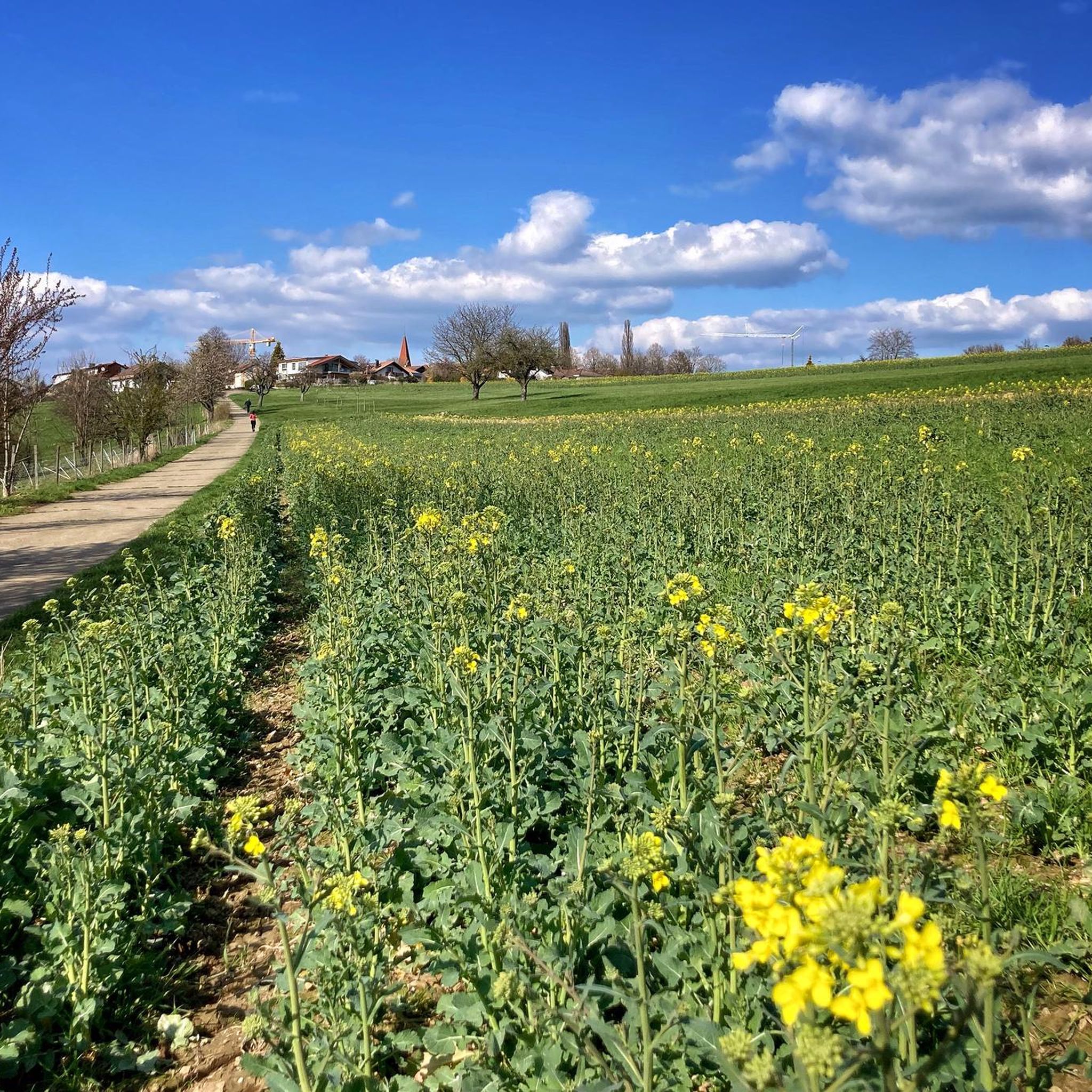
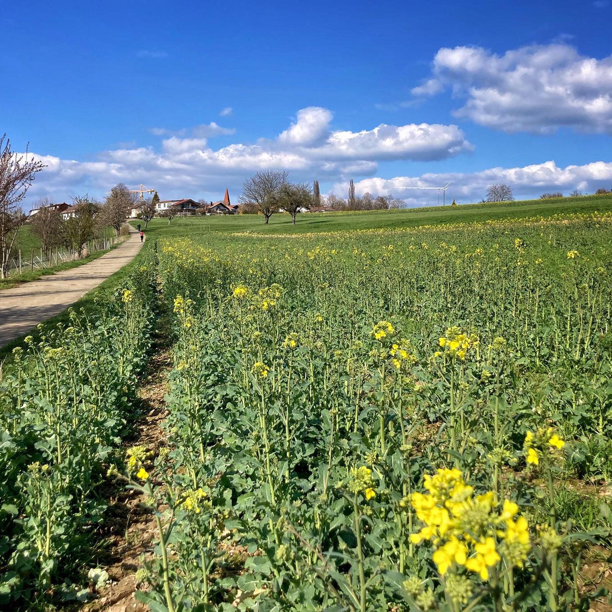
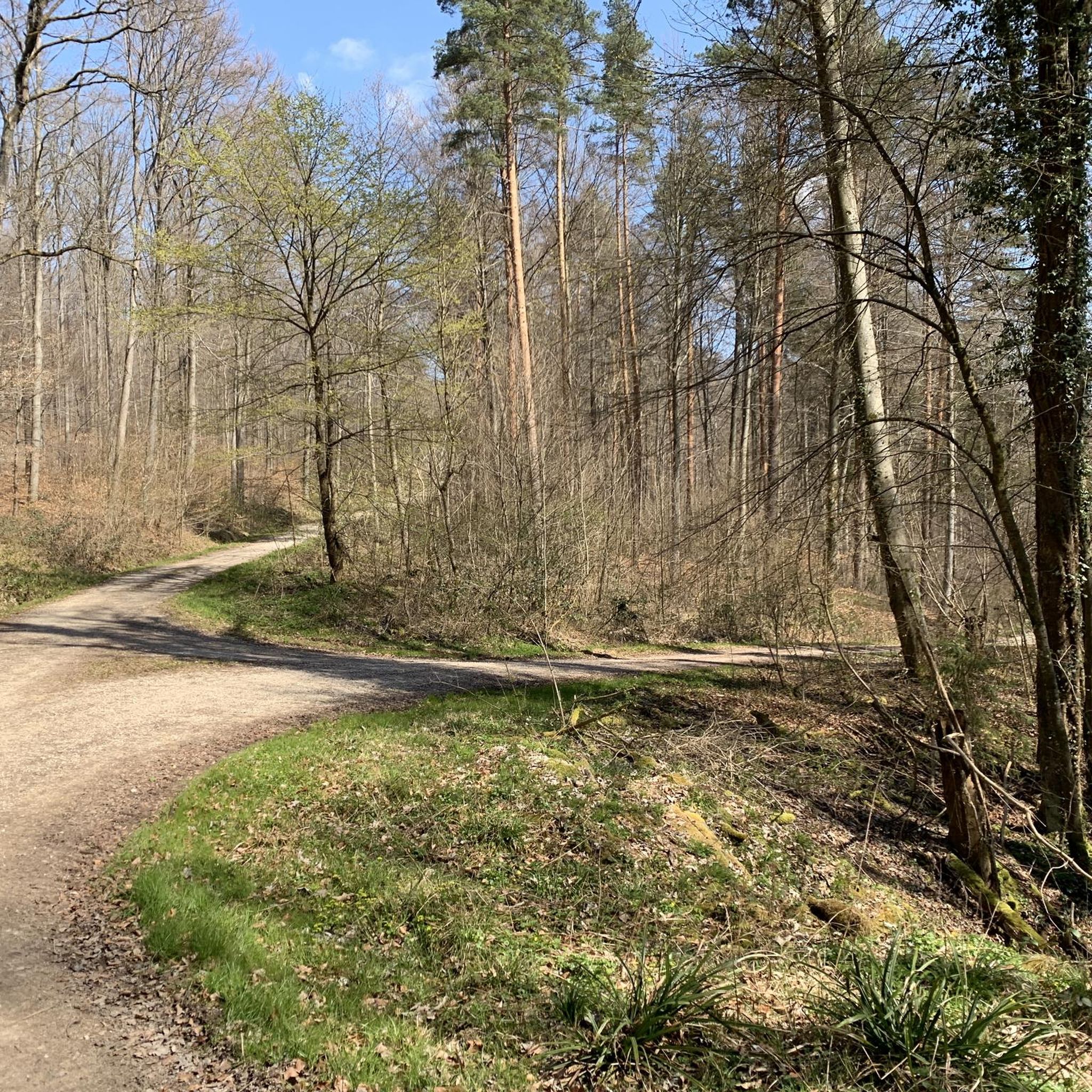
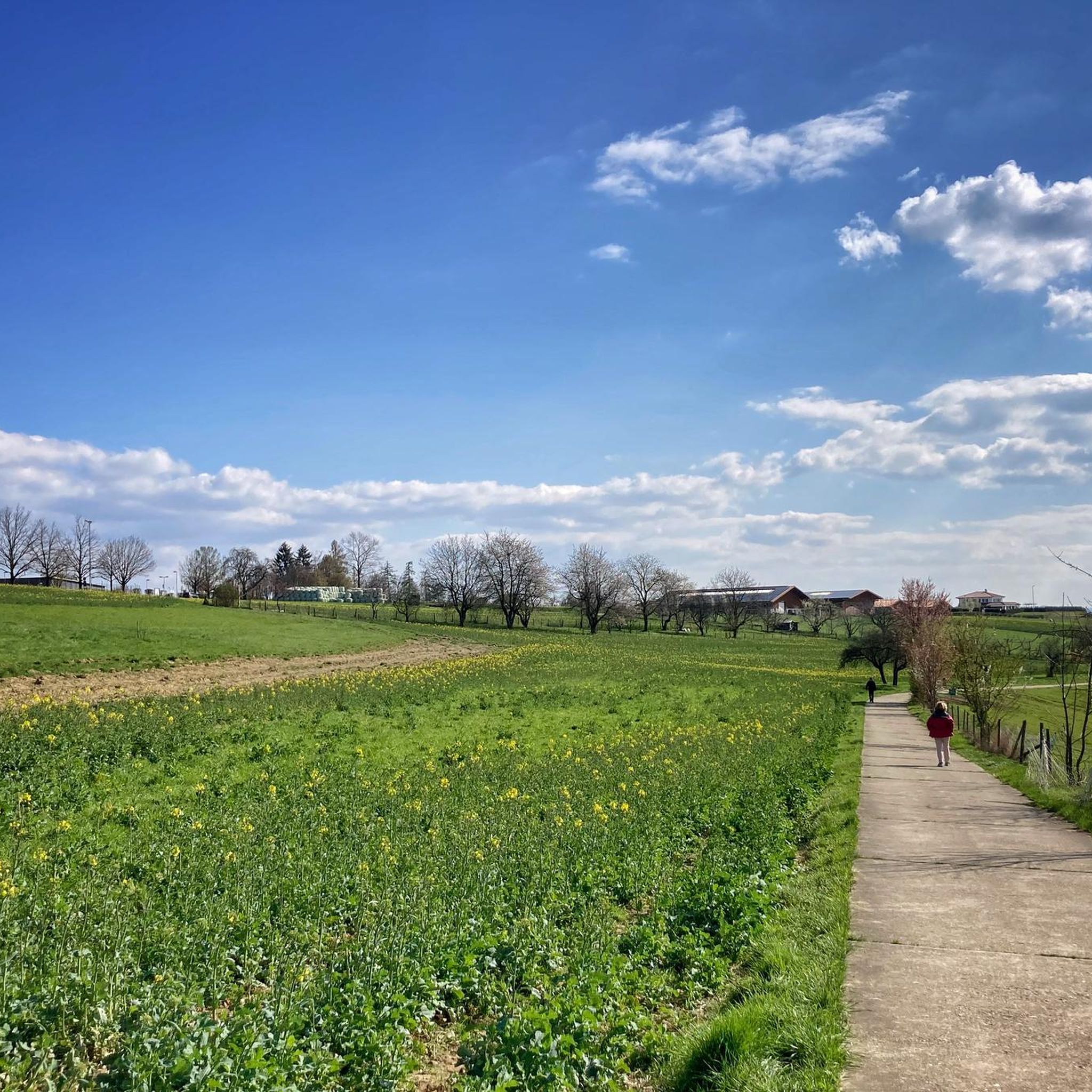
Tips from the Community

Nice rest stop You can have a good break here
0
0

The picture shows the Ebersbach "Saadler", former Ebersbach inhabitants who "dug" sand from the expanded Fils riverbank and thereby earned a meager living.
0
0

Pedestrian bridge over the Rems river with a beautiful view of the Rems riverbank park.
4
0

Ingenious and ideal for winter training
0
0

Center of the Rems in Schwäbisch Gmünd, easy to reach
0
0

Actually a good alternative to the main road, but also used by many cyclists 😉
0
0

A mega route to strengthen your legs with altitude gains.
1
0

It runs in pleasant waves through the upper Lenninger valley.
3
0
Frequently Asked Questions
How many road cycling routes are available around Lichtenwald?
There are over 190 road cycling routes available around Lichtenwald, catering to various skill levels and preferences. This includes a mix of easy, moderate, and difficult trails.
Are there road cycling routes suitable for beginners in Lichtenwald?
Yes, Lichtenwald offers several routes suitable for beginners. You can find over 50 easy routes. An example is the Otto Munz Bridge – Old Railway Keeper's House loop from Reichenbach (Fils), which is relatively flat and covers about 16.4 miles (26.4 km).
Where can I find challenging road cycling routes with significant climbs near Lichtenwald?
For experienced riders seeking a challenge, Lichtenwald features over 35 difficult routes with substantial elevation gains. A notable option is the View of Burg Teck – Hochwang Climb loop from Reichenbach (Fils), a 43.3-mile (69.7 km) path offering nearly 1000 meters of climbing and panoramic views.
Which road cycling routes offer the best scenic views in the Lichtenwald area?
Many routes in Lichtenwald provide scenic vistas, particularly those that ascend to higher points. The View of the Swabian Alb – Nassachtal Cycle Route loop from Lichtenwald offers expansive views of the Swabian Alb. The View of Burg Teck – Hochwang Climb loop also provides excellent panoramic views, including the historic Burg Teck.
What interesting sights or landmarks can I see along the road cycling routes in Lichtenwald?
The Lichtenwald area is rich in natural beauty and points of interest. You might encounter picturesque lakes such as Herrenbach Reservoir or Plüderhausen Lake. There are also impressive natural features like the Grunbach Waterfall and various gorges like Tiefklinge (Mittlerer Schurwald).
Are most road cycling routes around Lichtenwald circular loops?
Yes, the majority of road cycling routes around Lichtenwald are designed as circular loops, allowing you to start and finish at the same point without needing to retrace your path. This makes planning your ride more convenient.
What is the best season for road cycling in Lichtenwald?
The best season for road cycling in Lichtenwald is generally from spring to autumn (April to October). During these months, the weather is typically milder and more stable, with less chance of snow or ice, making for more enjoyable riding conditions. Summer offers the longest daylight hours.
What do other road cyclists enjoy the most about road cycling in Lichtenwald?
The road cycling routes in Lichtenwald are highly rated by the komoot community, with an average score of 4.6 stars from over 600 reviews. Riders often praise the varied terrain, challenging climbs, and the scenic viewpoints that offer expansive views of the surrounding landscape, including the Swabian Alb.
Are there road cycling routes that follow old railway lines or river valleys in Lichtenwald?
Yes, some routes in the Lichtenwald region utilize old railway lines or follow river valleys, providing smoother and often flatter sections. These paths can be a good option for a less strenuous ride or for enjoying the scenery at a more relaxed pace. The Hohenstaufenbahn Cycle Path – Wäscher Castle loop incorporates sections of a former railway line.
Is public transport available to access road cycling routes in Lichtenwald?
Lichtenwald and its surrounding towns are generally well-connected by regional public transport, including bus services. While direct access to every trailhead might vary, you can often reach starting points in towns like Reichenbach (Fils) or Winterbach (b Schorndorf) via train or bus, and then begin your ride from there. Check local transport schedules for specific connections.
Are there places to stop for refreshments or cafes along the road cycling routes?
Many road cycling routes in the Lichtenwald area pass through or near small towns and villages where you can find cafes, bakeries, or restaurants for refreshments. Planning your route with komoot allows you to see points of interest, including places to eat, along your chosen path.
What is the typical duration for road cycling routes in Lichtenwald?
The duration of road cycling routes in Lichtenwald varies significantly based on distance, elevation, and your cycling speed. Routes can range from short, easy loops taking about an hour, such as the Otto Munz Bridge – Old Railway Keeper's House loop (approx. 1 hour 2 minutes), to more challenging, longer rides like the View of Burg Teck – Hochwang Climb loop, which can take over 3 hours.
Most popular routes around Lichtenwald
Most popular attractions around Lichtenwald

Get inspired with the komoot mobile app


Explore more
Browse the best Road cycling routes in other regions.
