The best walks and hikes in Kyustendil Region
4.6
(556)
4,063
hikers
72
hikes
Hiking in Kyustendil Region offers a diverse landscape characterized by high mountain ranges, glacial lakes, and unique rock formations. The region is dominated by the Rila and Osogovo Mountains, providing varied terrain from alpine environments to forested valleys. Crystal-clear rivers and waterfalls are present, alongside distinctive geological features such as the Stob Pyramids. This area provides a range of hiking opportunities across different elevations and natural settings.
Best hiking trails in Kyustendil Region
- The most popular hiking route is Lower Lake (Seven Rila Lakes) – Second Lake (Rila Lakes) loop from Seven Rila Lakes, a 6.1 miles (9.8 km) trail that takes 4 hours 2 minutes to complete. This route explores the glacial lakes of the Rila Mountains, offering high-altitude views.
- Another top favourite among local hikers is Wooden Cross Memorial – Stob Pyramids loop from Stob, an easy 2.6 miles (4.2 km) path. This trail leads through an area featuring the distinctive Stob Pyramids rock formations.
- Local hikers also love the Skakavitsa Hut – Skakavitsa Waterfall loop from Зелени преслап, a 3.3 miles (5.3 km) trail leading through forested areas to the Skakavitsa Waterfall, often completed in about 1 hour 50 minutes.
- Hiking in Kyustendil Region is defined by glacial lakes, mountain peaks, and unique rock formations. The extensive network of trails offers options for various ability levels, from easy walks to challenging alpine ascents.
- The routes in Kyustendil Region are highly rated by the komoot community with an average score of 4.6 stars from over 430 reviews. More than 3,100 hikers have used komoot to explore Kyustendil Region's varied terrain.
Last updated: July 1, 2026
4.9
(101)
571
hikers
18.3km
07:43
1,100m
1,100m
Hard hike. Very good fitness required. Sure-footedness, sturdy shoes and alpine experience required.
4.8
(44)
139
hikers
Hard hike. Good fitness required. Sure-footedness, sturdy shoes and alpine experience required.

Sign up for free
4.4
(9)
179
hikers
3.57km
01:07
140m
140m
Easy hike. Great for any fitness level. Easily-accessible paths. Suitable for all skill levels.
4.7
(16)
42
hikers
8.63km
03:37
500m
510m
Hard hike. Good fitness required. Sure-footedness, sturdy shoes and alpine experience required.
4.6
(14)
198
hikers
3.15km
01:03
150m
150m
Easy hike. Great for any fitness level. Easily-accessible paths. Suitable for all skill levels.
5.0
(14)
141
hikers
Hard hike. Good fitness required. Sure-footedness, sturdy shoes and alpine experience required.
4.9
(9)
37
hikers
12.7km
03:48
390m
400m
Moderate hike. Good fitness required. Easily-accessible paths. Suitable for all skill levels.
4.5
(4)
51
hikers
5.30km
01:50
290m
290m
Easy hike. Great for any fitness level. Easily-accessible paths. Suitable for all skill levels.
4.3
(3)
50
hikers
5.30km
01:50
290m
290m
Easy hike. Great for any fitness level. Easily-accessible paths. Suitable for all skill levels.
4.8
(12)
48
hikers
10.2km
03:21
480m
480m
Moderate hike. Good fitness required. Easily-accessible paths. Suitable for all skill levels.
Get access to more routes and recommendations from other explorers.
Sign up for free
Already have an account?
Our route recommendations are based on thousands of hikes, rides, and runs completed by other people on komoot.
Start today with a free account
Your next adventure awaits.
Login or Signup

Tips from the Community

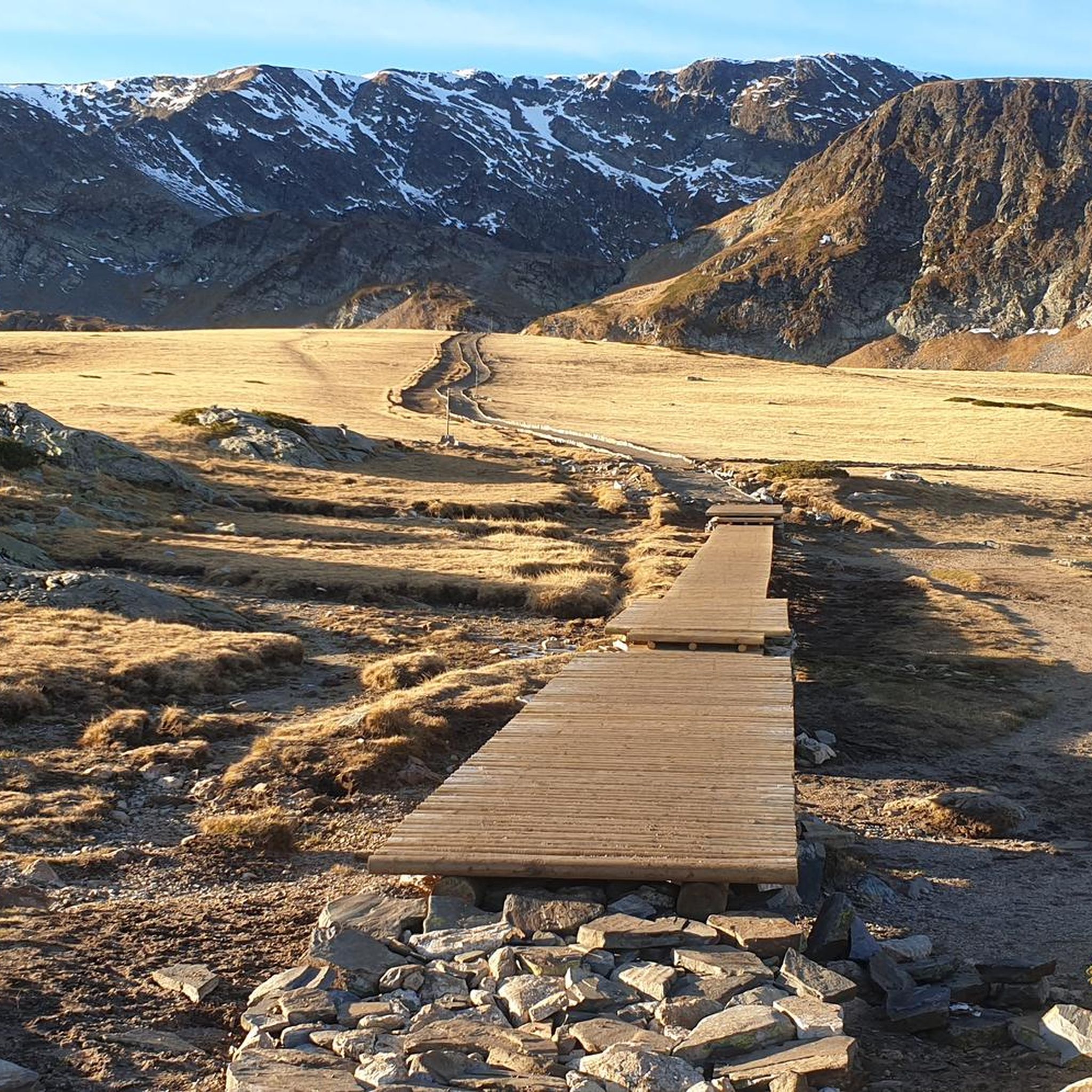
⚠️ Warning: Wrong Komoot route! The route shown here by Komoot is incorrect. From this point you should go back to The Kidney Lake (Bubreka) and continue on one of the official trails back towards the Seven Rila Lakes Hut – either the upper route or the path along the lakes. The circular route displayed here does not exist as an official hiking trail. There are no trail markings, the terrain is very difficult, and walking freely outside the designated paths in this protected area is not allowed. Do not rely only on GPS navigation – please follow the marked hiking trails.
0
0

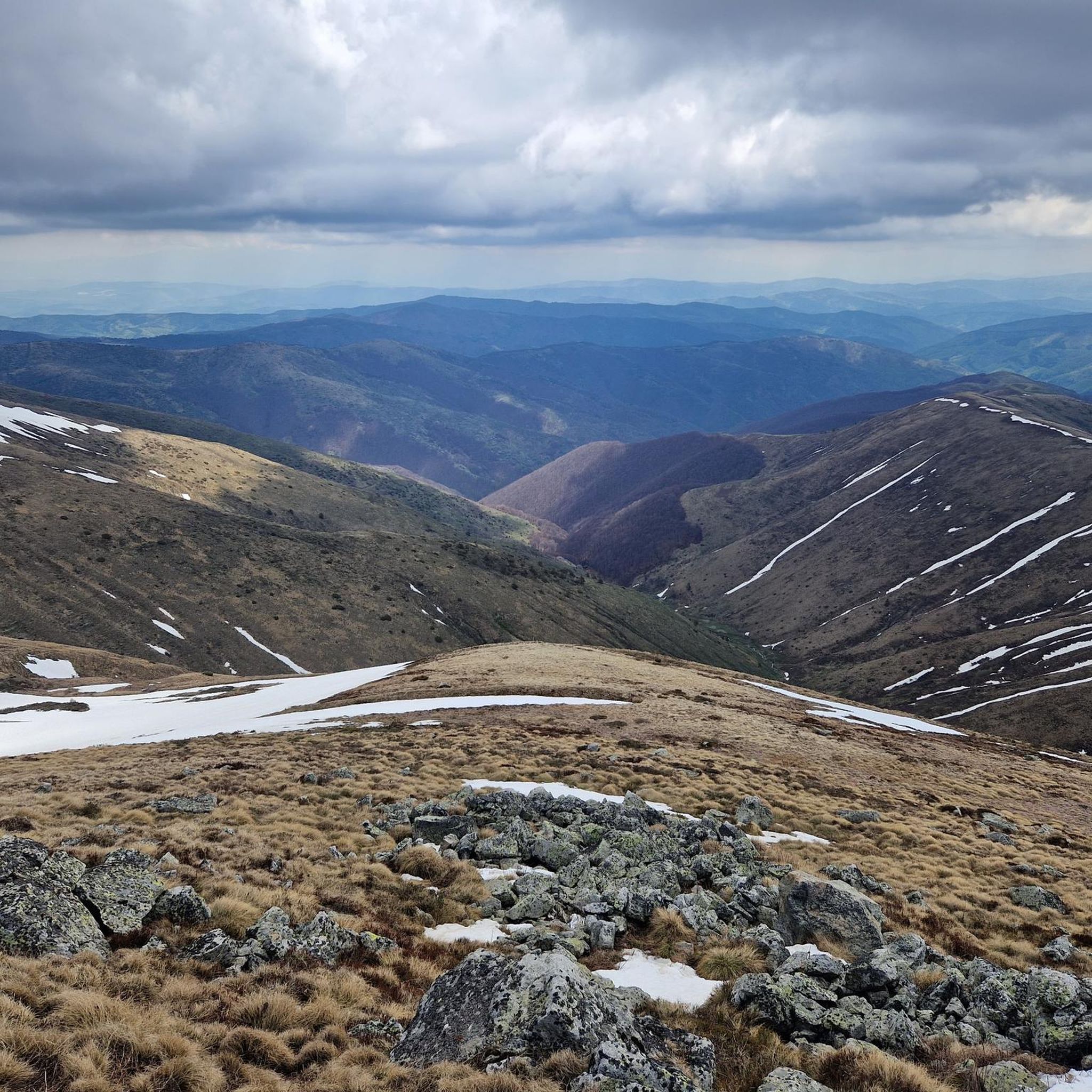
This is a great drone or zoom-lens spot—clear skies give you deep visibility across Bulgaria.
0
0
If you’re well-conditioned, consider extending your route up to Otovitsa Ridge for incredible views.
0
0

Restaurant "Don Ceci"
0
0

Lower Lake is the lowest of the Seven Rila Lakes. It is located at an altitude of 2095 m. Its area is 5.9 ha and its depth is 11 m. There are a lot of fish in the lake, that is why it is called the "Fish lake", but still fishing is forbidden. It collects the water that flows from the other lakes. The lake has a steep sill and is closed from the north by a seawall. It collects the water that flows from the other lakes. The lower lake gives rise to the Jerman River.
0
0
Lake Bliznaka is the largest in area of the Seven Rila Lakes. It is located 1940 m north of Vazov Peak and is 2243 m above sea level. The catchment area is 2.10 square kilometres. The water surface area is 168.6 acres. The water volume of the lake is 590 thousand m3 and the maximum depth is 27.5 metres. In the recent past the lake was called Chifte Göl. The name "Bliznaka" comes from the fact that in times of drought the lake splits into two small ponds. From this it takes the shape of an hourglass.
0
0

The lake has the shape of a kidney and hence its name.
0
0
The aquatic plants in the lake shine almost golden from a distance.
0
0
Frequently Asked Questions
How many hiking trails are available in the Kyustendil Region?
The Kyustendil Region offers a wide variety of hiking opportunities, with over 70 routes recorded on komoot. These range from easy strolls to challenging mountain ascents, catering to all experience levels.
Are there easy hiking trails suitable for families or beginners?
Yes, the region has over 20 easy routes perfect for families and beginners. A great option is the Wooden Cross Memorial – Stob Pyramids loop from Stob, an easy 4.2 km path that allows you to explore the unique Stob Pyramids rock formations.
Can I find challenging hikes in the Kyustendil Region?
Absolutely. The Kyustendil Region, particularly in the Rila and Osogovo Mountains, offers over 20 difficult routes. For a demanding experience, consider the Babreka (The Kidney) Lake – Seven Rila Lakes loop from Skakavitza Reserve, which covers over 18 km with significant elevation gain, providing stunning alpine views.
Are there any circular hiking routes?
Many trails in the Kyustendil Region are designed as loops. For example, the popular Lower Lake (Seven Rila Lakes) – Second Lake (Rila Lakes) loop from Seven Rila Lakes is a 9.8 km circular route exploring the glacial lakes of the Rila Mountains. Another option is the Skakavitsa Hut – Skakavitsa Waterfall loop from Зелени преслап, a 5.3 km loop leading to the impressive Skakavitsa Waterfall.
What natural features or landmarks can I see while hiking?
The region is rich in natural beauty. You can explore the unique Seven Rila Lakes, a series of glacial lakes, or witness the distinctive Stob Pyramids rock formations. The Skakavitsa Waterfall is another prominent natural landmark. Additionally, the historic Hissarlaka Fortress offers cultural significance along with pleasant walks.
Are there trails that feature waterfalls?
Yes, the Kyustendil Region is home to several beautiful waterfalls. The Skakavitsa Waterfall, the highest in the Rila Mountains, is accessible via trails like the Skakavitsa Hut – Skakavitsa Waterfall loop. You can also find the Bistritsa Waterfall, which is part of the Sofradzhik Viewing Platform – Bistritsa Waterfall loop.
What is the best time of year to go hiking in Kyustendil Region?
The best time for hiking in the Kyustendil Region is generally from late spring to early autumn (May to October). During these months, the weather is milder, and the trails are typically clear of snow, especially at higher altitudes. Summer offers lush landscapes, while autumn brings vibrant colors.
Is public transport available to reach trailheads?
While specific public transport options to every trailhead can vary, many routes in the Kyustendil Region are accessible from towns or villages that have bus connections. For popular areas like the Seven Rila Lakes, there might be shuttle services or chairlifts available to shorten the ascent, particularly during peak season.
Where can I park when visiting hiking trails in the Kyustendil Region?
Parking is generally available near popular trailheads and attractions. For instance, trails leading to the Stob Pyramids often start from the village of Stob, where parking can be found. For the Seven Rila Lakes, there are parking areas near the chairlift stations or starting points of the trails.
Are there dog-friendly trails in the area?
Many trails in the Kyustendil Region are suitable for hiking with dogs, especially those outside of strictly protected zones where regulations might apply. It's always advisable to keep your dog on a leash, especially in areas with wildlife or livestock, and to check specific park regulations if entering national park areas like Rila National Park.
What do other hikers say about the trails in Kyustendil Region?
The hiking trails in Kyustendil Region are highly rated by the komoot community, with an average score of 4.6 stars from over 430 reviews. Hikers frequently praise the diverse landscapes, from glacial lakes and mountain peaks to unique rock formations, and appreciate the extensive network of trails suitable for various ability levels.
Are there any less crowded hiking options?
While popular spots like the Seven Rila Lakes can attract many visitors, areas within the Osogovo Mountain Range or Konyavska Mountain often offer a more tranquil hiking experience. Exploring trails around villages like Gueshevo or lesser-known paths in the Rila foothills can provide solitude and beautiful scenery away from the main crowds.
What are the typical durations for hikes in the region?
Hike durations vary significantly based on difficulty and distance. Easy trails, such as the Wooden Cross Memorial – Stob Pyramids loop, can take around 1 hour 20 minutes. Moderate routes like St. Ivan Spring – Prayer Rock loop from Rila Monastery typically take around 3 hours 50 minutes, while difficult routes in the Rila Mountains can extend to 4-7 hours or more.
Can I find trails with significant elevation gain?
Yes, the Kyustendil Region, particularly in the Rila and Osogovo Mountains, offers numerous trails with significant elevation gain. Routes like the Babreka (The Kidney) Lake – Seven Rila Lakes loop feature over 1000 meters of ascent, providing challenging climbs and rewarding panoramic views.
Most popular routes in Kyustendil Region
Most popular attractions in Kyustendil Region

Get inspired with the komoot mobile app


Didn’t find what you were looking for?
Check out more Hikes throughout Kyustendil Region below and find the perfect route in your destination.
Explore more
Browse the best Hikes in other regions.
