The 20 Most Amazing Peaks around Homberg
Best mountain peaks around Homberg offer diverse landscapes in the Bernese Oberland, characterized by prominent ridges and views of Lake Thun. The region features a mix of high-altitude summits and accessible viewpoints. These peaks provide opportunities to experience the natural environment, from the Emmental Alps to the Justistal. The area is known for its varied terrain, suitable for different levels of outdoor activity.
Best mountain peaks around Homberg
- The most popular mountain peaks is Niederhorn Summit, a summit that…
Last updated: August 16, 2026
Niederhorn Summit
Highlight • Summit
Translated by Google •
Tip by

Burgfeldstand Summit
Highlight • Summit
Highest peak of the so-called "Güggisgrat", which extends south of the Justistal over the Niederhorn to the Gemmenalphorn. Legend has it that this peak represents the ruins …
Translated by Google •
Tip by

Sign up now to discover places like this
Get recommendations on the best single tracks, peaks, & plenty of other exciting outdoor places.
Sign up for free
Gemmenalphorn
Highlight • Summit
Translated by Google •
Tip by
Blueme Observation Tower
Highlight • Viewpoint
Translated by Google •
Tip by

Beatenberg Station
Highlight • Rest Area
Translated by Google •
Tip by

Sign up for free to discover even more peaks around Homberg.
Sign up for free
Already have an account?
Start today with a free account
Your next adventure awaits.
Login or Signup
Tips from the Community

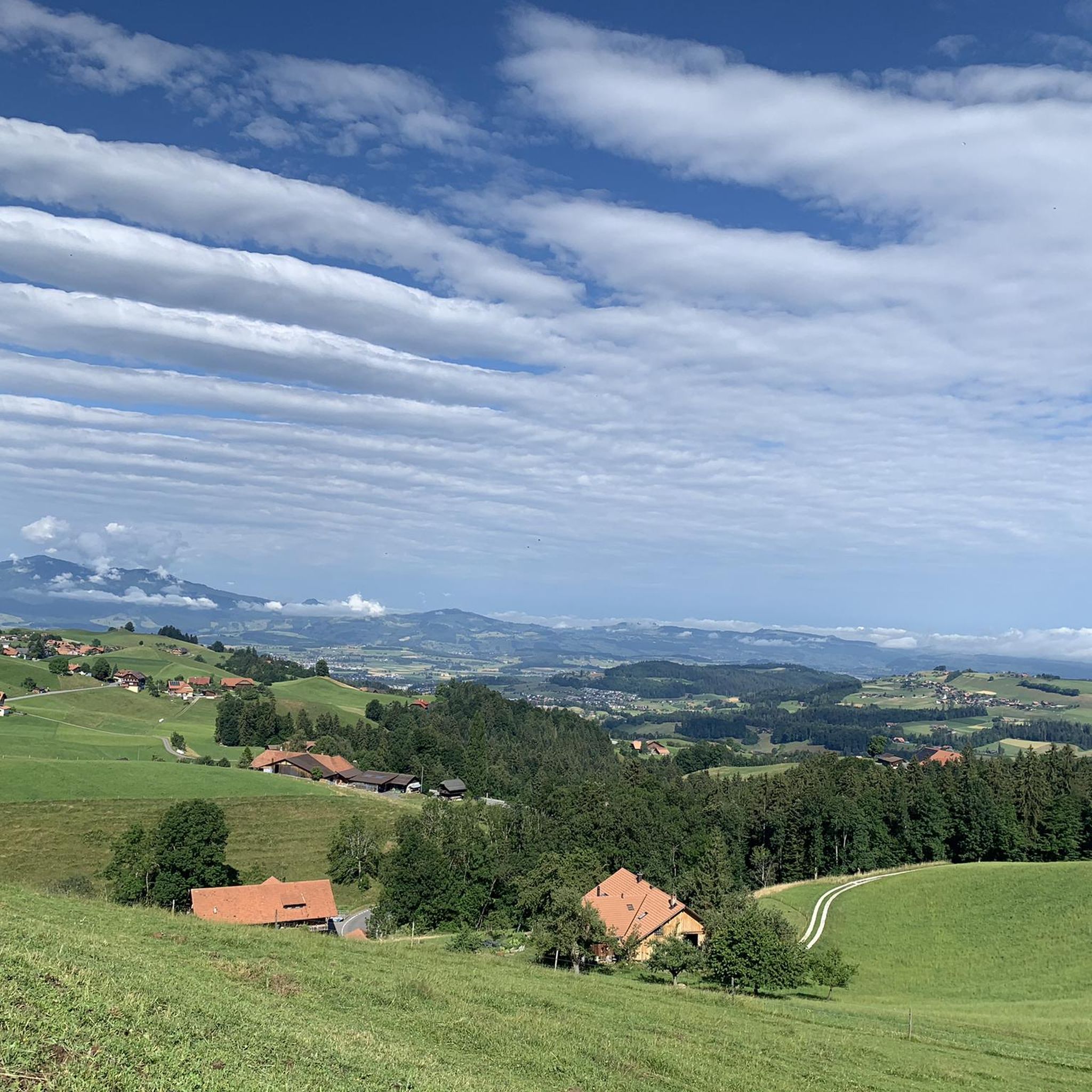
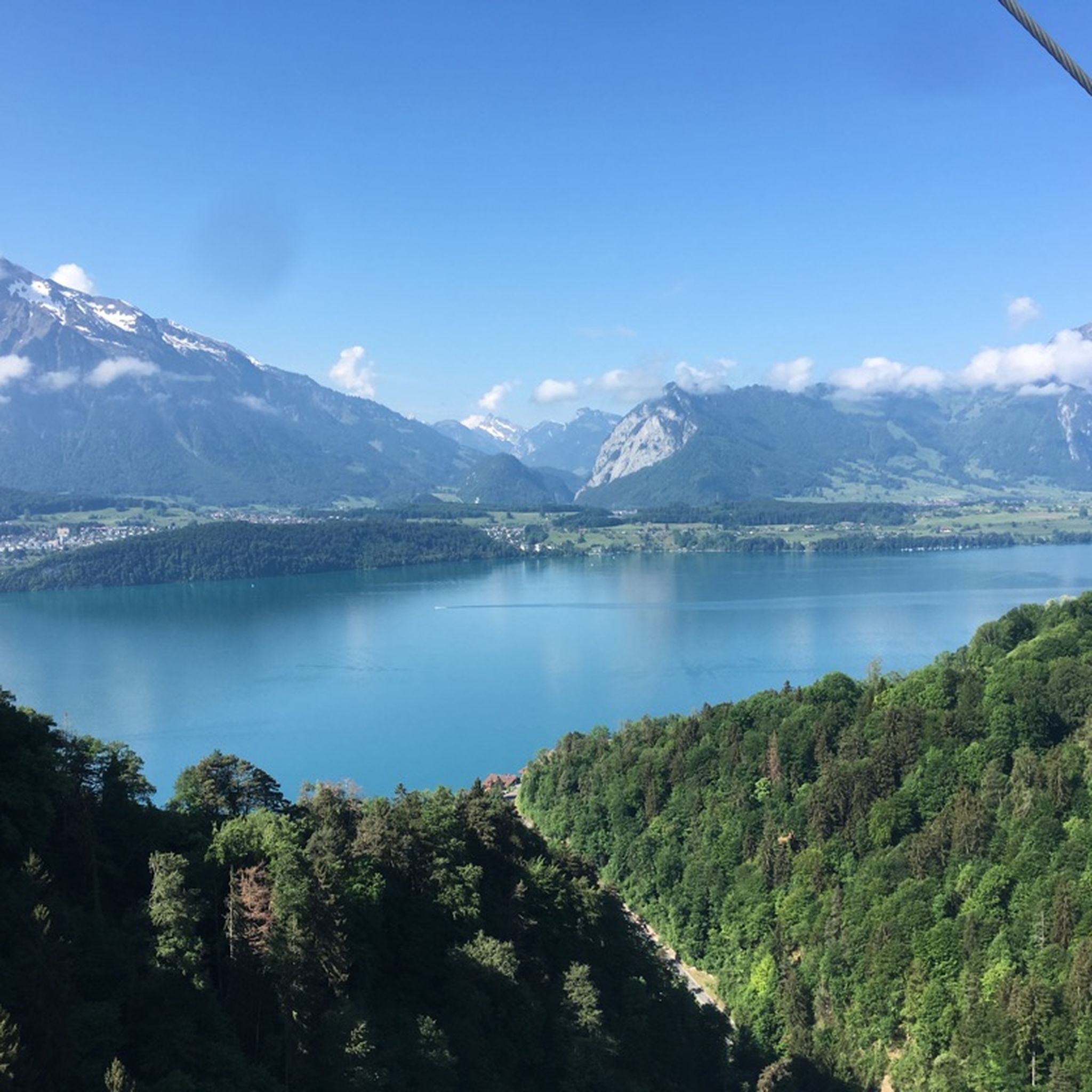
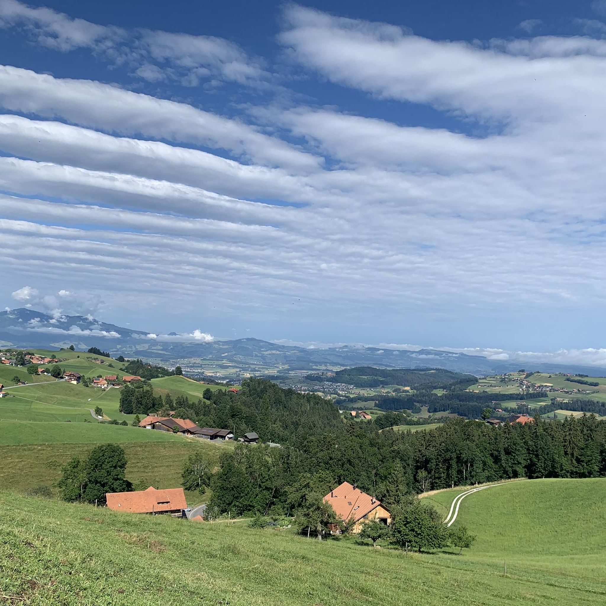
The Gemmenalphorn is a scenic summit above Lake Thun and part of the Niederhorn chain. The distinctive grassy mountain reaches an altitude of 2061 meters and offers an impressive panorama of the Eiger, Mönch, and Jungfrau, as well as the deep blue Lake Thun. The hike from the Niederhorn via the scenic ridge path is particularly popular. In summer, ibex often graze in the area, which is why the region is also highly valued by wildlife observers. Despite its height, the Gemmenalphorn is technically quite easy to reach and ideal for pleasure hikers.
2
0
The ascent from the east can be very tricky in spring, as there may still be snow in exposed places.
2
0
Wonderful vantage point. Can be reached on snowshoes from the Niederhorn mountain station in about an hour.
2
0
The signpost at the Burgfeldstand is impossible to miss
6
0
Magnificent panoramic point Highest peak of the so-called "Güggisgrat", which extends south of the Justistal over the Niederhorn to the Gemmenalphorn. Legend has it that this peak represents the ruins of a destroyed castle. The rocky outcrops that dominate the Justistal west of the peak give the impression of collapsed quarry stone walls. The peak is easy to reach thanks to the railway and the comfortable path.
8
0
Instead of a summit cross, there is a signpost
8
0
The second highest and most conspicuous peak in the Niederhorn chain. Called Güggisgrat on the national map, the terrain rises gently from the south (Beatenberg) before falling abruptly into the Justistal towards the north. The winter tours offer wonderful views of Lake Thun and the Emmental.
7
0
Frequently Asked Questions
What are the difficulty levels of hiking trails around Homberg's peaks?
Many of the trails leading to and around the prominent peaks in the Homberg region are rated as intermediate. For example, the routes to Niederhorn Summit, Burgfeldstand Summit, and Gemmenalphorn are generally considered intermediate. These often involve ascents and descents suitable for hikers with some experience. For easier access, the Beatenberg Station serves as a convenient starting point, with options for gondola lifts to higher elevations.
Are there long-distance hiking options connecting multiple peaks in the Homberg area?
Yes, you can embark on a rewarding mountain hike along the Güggisgrat ridge. This route connects several significant peaks, including Niederhorn Summit, Burgfeldstand Summit, and Gemmenalphorn. This offers a comprehensive experience of the region's high-altitude views and natural beauty.
What are the best viewpoints for panoramic scenery around Homberg?
For breathtaking panoramic views, the Niederhorn Summit offers expansive vistas of Lake Thun and the Bernese Alps to the south, and the Justistal to the north. Another excellent spot is the Blueme Observation Tower, a 16-meter high structure providing views stretching from the Jura mountains, across Lake Thun, to the Bernese Alps. The Burgfeldstand Summit also provides magnificent panoramic points.
Are there family-friendly mountain peaks or accessible viewpoints near Homberg?
Absolutely. The Niederhorn Summit is considered family-friendly and can be comfortably reached by gondola lift, making it accessible for various ages and fitness levels. Similarly, Beatenberg Station is family-friendly and even wheelchair accessible, offering stunning views of Lake Thun and the Alps directly from the station, which is connected by funicular and cable car.
What outdoor activities can I do near these mountain peaks besides hiking?
The Homberg region offers a variety of outdoor activities. You can explore numerous MTB Trails around Homberg, with options ranging from easy to difficult, such as the 'Rabenfluh Trail Start – End of the Strecke Trail loop from Thun' (easy) or the 'Schwarzenegg Church – Schallenberg Pass loop from Unterlangenegg' (difficult). For road cyclists, there are diverse Road Cycling Routes around Homberg, including challenging tours like 'Round trip over the Gurnigel'. There are also general Cycling routes around Homberg for touring bicycles.
What natural features can I expect to see around Homberg's peaks?
The region is characterized by diverse natural features. You'll encounter prominent ridges like the Güggisgrat, which includes peaks such as Niederhorn Summit, Burgfeldstand Summit, and Gemmenalphorn. The area offers views of the expansive Lake Thun, the majestic Bernese Alps, and the long Justistal. The eastern foot of the Güggisgrat also features the Seefeld nature reserve with its unique karst area of the seven stallions.
Are there any less crowded mountain hikes or hidden gems around Homberg?
While popular spots like Niederhorn can attract visitors, exploring the full length of the Güggisgrat ridge, past Burgfeldstand Summit towards Gemmenalphorn, can offer a more tranquil experience. The terrain gently rises from Beatenberg before dropping into the Justistal, providing stunning views away from the main crowds, especially during off-peak times.
What do visitors enjoy most about the mountain peaks around Homberg?
Visitors highly appreciate the spectacular panoramic views, especially from spots like Niederhorn Summit, which offers clear sightlines of Lake Thun and the Bernese Alps. The accessibility of some peaks via gondola and funicular, such as to Beatenberg Station, is also frequently praised. The diverse terrain suitable for various activity levels, from leisurely walks to challenging mountain hikes, is another highlight for the komoot community.
Can I find facilities like restaurants or cafes near the mountain peaks?
Yes, Niederhorn Summit has facilities, including a restaurant, making it a convenient stop for refreshments. The Beatenberg Station area also offers amenities and is a cozy place with fantastic views, suitable for a break before or after your mountain adventures.
What is the best season for hiking the Homberg mountains?
The Bernese Oberland, where Homberg is located, is generally best for hiking from late spring through early autumn (May to October). During these months, trails are typically clear of snow, and the weather is more stable, offering pleasant conditions and clear views. Winter tours are also possible, especially on routes like those around Gemmenalphorn, which offer wonderful views of Lake Thun and the Emmental, but require appropriate winter gear and experience.
Are there specific trails for mountain biking around Homberg's peaks?
While the immediate peaks might be hiking-focused, the broader Homberg area offers dedicated mountain biking opportunities. You can find various MTB Trails around Homberg. For instance, the 'Hubelweid Trail Gate – View of Lake Thun loop from Heiligenschwendi' is an easy route, while the 'Schwarzenegg Church – Schallenberg Pass loop from Unterlangenegg' presents a more difficult challenge.
What should I wear when hiking Homberg peaks?
Given the intermediate difficulty of many trails and the variable mountain weather in the Bernese Oberland, it's advisable to wear sturdy hiking boots, layered clothing suitable for changing conditions, and waterproof outerwear. Even in summer, temperatures can drop at higher altitudes, and weather can change quickly. Sun protection, a hat, and plenty of water are also recommended.
Most popular routes around Homberg
Most popular attractions around Homberg

Get inspired with the komoot mobile app


Explore more
See even more amazing summits around Homberg with these guides:
