The best mountain hikes around Homberg
5.0
(6)
38
hikers
3
hikes
Mountaineering routes around Homberg are situated in a mountainous region, characterized by significant elevation gains and alpine terrain. The area features prominent summits and high alpine pastures, offering challenging ascents and panoramic views. These routes traverse diverse landscapes, including rocky paths and open mountain slopes, providing a demanding experience for mountaineers.
Best mountaineering routes around Homberg
- The most popular mountaineering route is Schafloch Cave West Entrance – Alp Oberbärgli loop from Schwändiblueme, a 6.9 miles (11.2 km) trail that…
Last updated: October 9, 2026
5.0
(2)
8
hikers
15.9km
07:11
960m
960m
Hard mountaineering route. Very good fitness required. Sure-footedness, sturdy shoes and alpine experience required.
5.0
(1)
8
hikers
9.97km
03:47
330m
330m
Moderate mountaineering route. Good fitness required. Mostly accessible paths. Sure-footedness required.

5.0
(2)
9
hikers
9.42km
04:48
800m
800m
Hard mountaineering route. Good fitness required. Sure-footedness, sturdy shoes and alpine experience required.
5.0
(1)
10
hikers
15.9km
06:48
1,040m
1,040m
Hard mountaineering route. Very good fitness required. Sure-footedness, sturdy shoes and alpine experience required.
3
hikers
9.04km
03:50
470m
480m
Moderate mountaineering route. Good fitness required. Mostly accessible paths. Sure-footedness required.
Our route recommendations are based on thousands of hikes, rides, and runs completed by other people on komoot.
Start today with a free account
Your next adventure awaits.
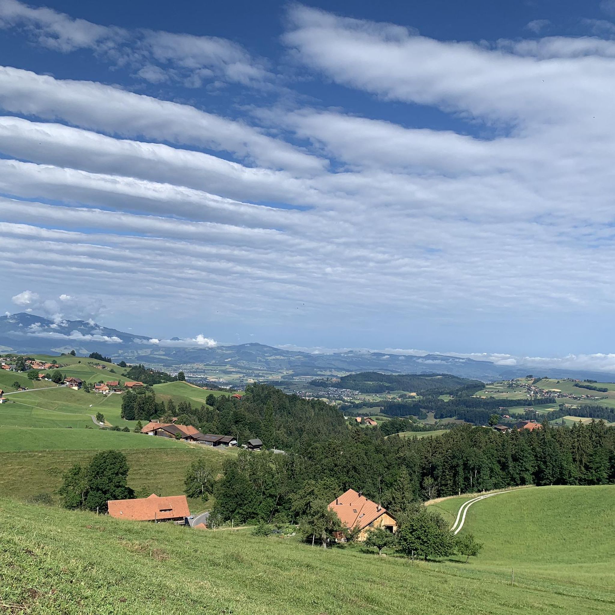
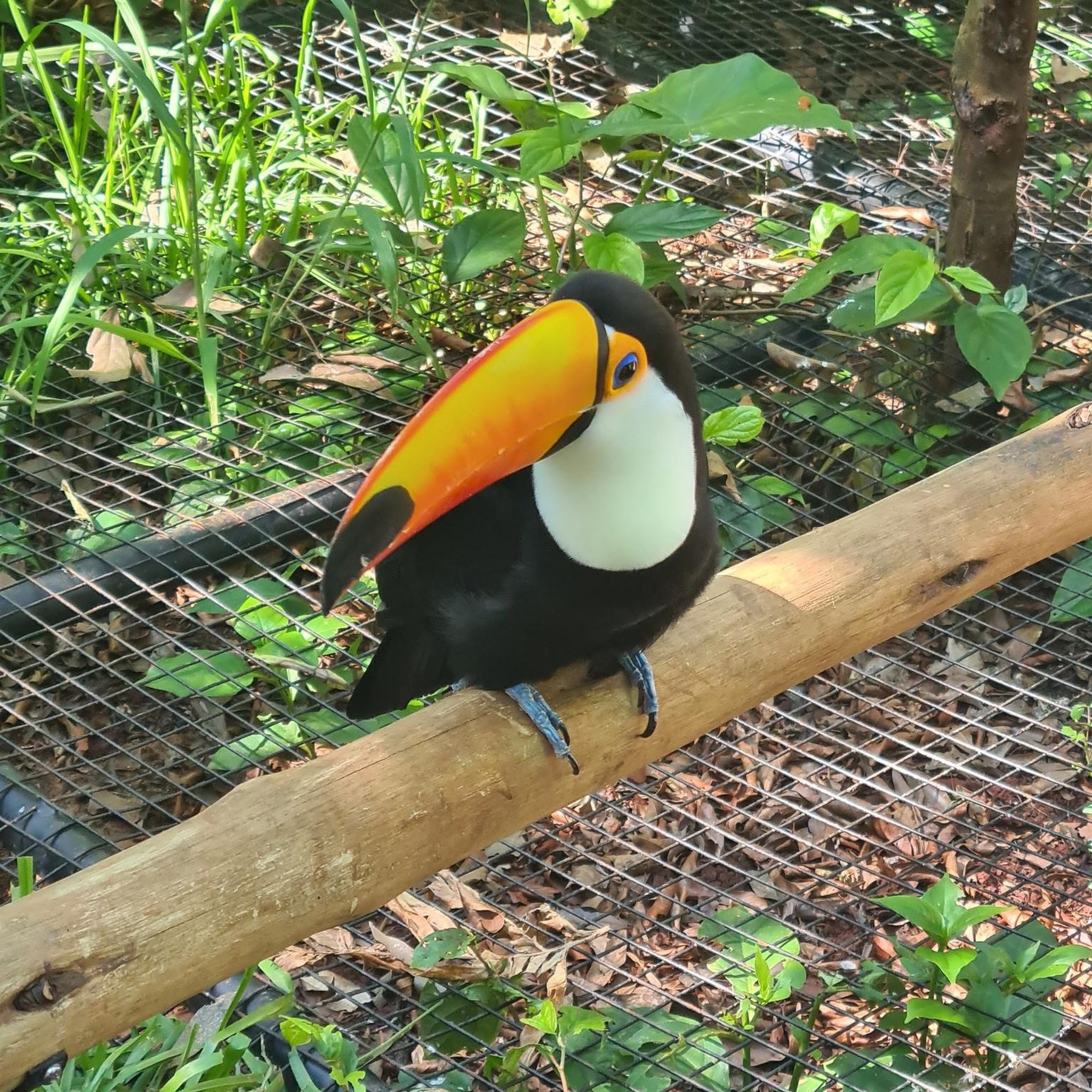
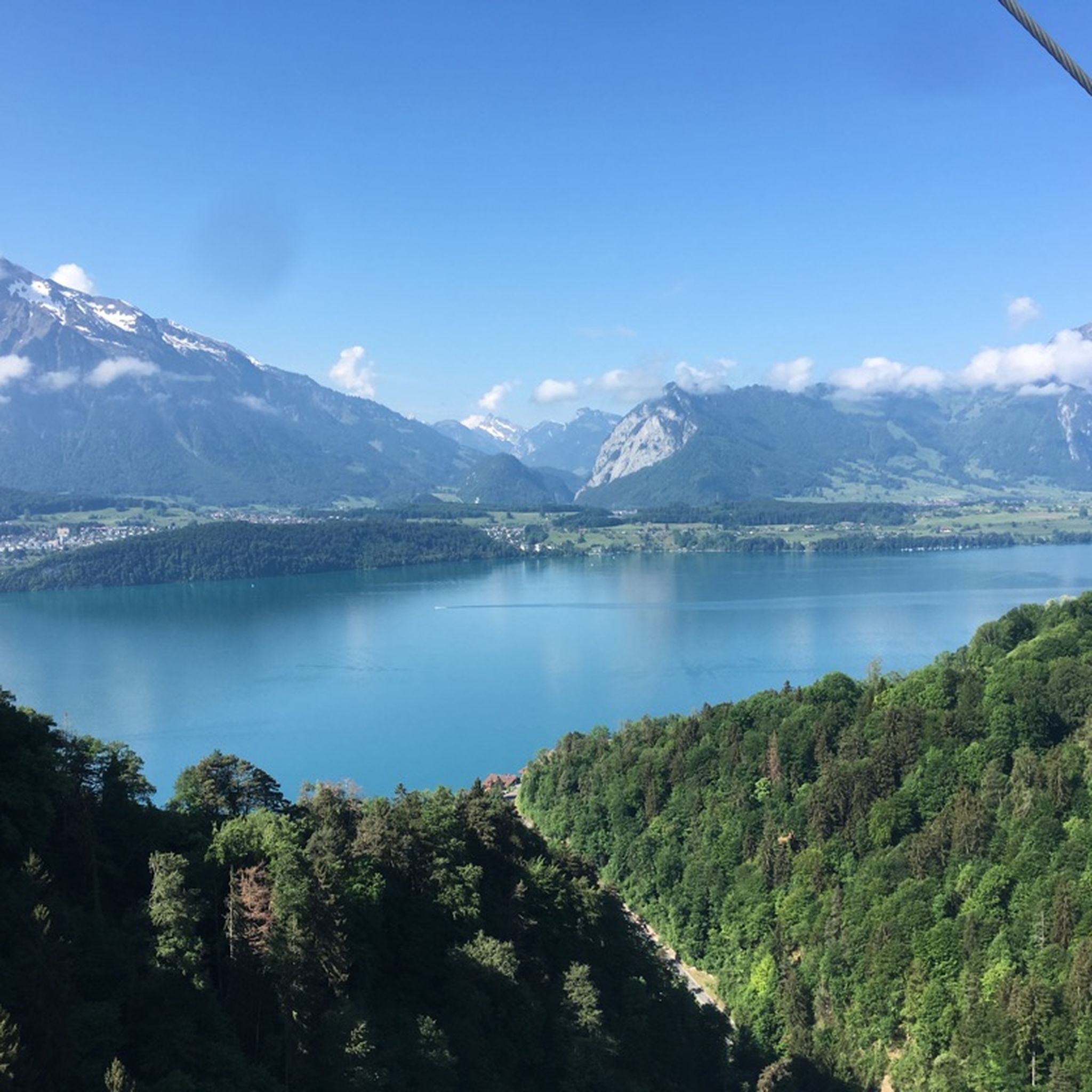
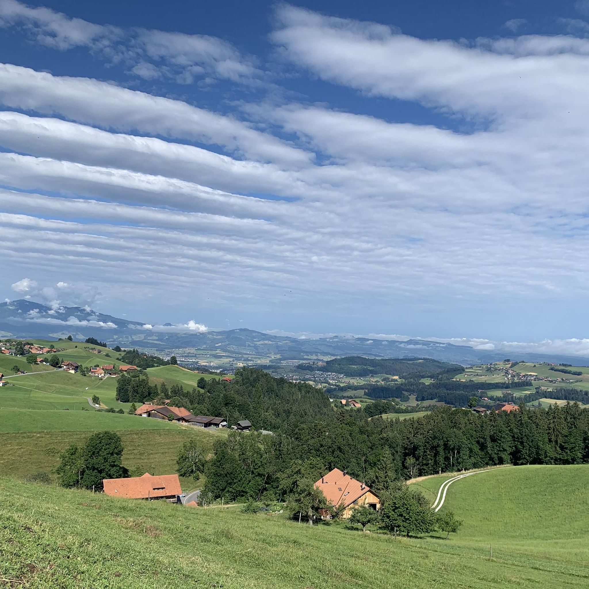
Tips from the Community

The Gemmenalphorn is a scenic summit above Lake Thun and part of the Niederhorn chain. The distinctive grassy mountain reaches an altitude of 2061 meters and offers an impressive panorama of the Eiger, Mönch, and Jungfrau, as well as the deep blue Lake Thun. The hike from the Niederhorn via the scenic ridge path is particularly popular. In summer, ibex often graze in the area, which is why the region is also highly valued by wildlife observers. Despite its height, the Gemmenalphorn is technically quite easy to reach and ideal for pleasure hikers.
2
0
The ascent from the east can be very tricky in spring, as there may still be snow in exposed places.
2
0

It's best done when the Niederhorn cable car isn't running. This way, you can enjoy this wonderful ridge without too much hassle.
0
0
Beautiful alp on the way to the Sigriswiler Rothorn
7
0
Beautiful and little-frequented summit with panoramic views
7
0

Difficult ascent including easy climbing but at the top everything is forgotten, the effort was worth it, the view is amazing.
0
1

The Sigriswiler Rothorn (2,051 m) is an impressive vantage point high above Lake Thun ⛰️🌊. The ascent is mostly along the ridge and requires surefootedness and a head for heights ⚠️🥾 – caution is advised, especially in wet conditions. At the top, you'll be rewarded with a fantastic 360° panorama: views of the Eiger, Mönch, and Jungfrau, the Mittelland, and Lake Brienz and Lake Thun 🏔️👀 – ideal for a summit rest and impressive photos 📸. Equipment: Sturdy hiking boots, weather protection 🧥, provisions 🥪, water 💧. No food or drink options along the way. Recommendation: Set off early ⏰, and avoid the ridge in uncertain weather. An absolutely worthwhile summit for experienced hikers!
1
0
A beautiful spot with stunning views of the Bernese Oberland! ⛰️🌲. The trail is well marked, but surefootedness is required, especially in wet conditions ⚠️. Recommendation: Start early ⏰ to enjoy the peaceful morning atmosphere! Equipment: Sturdy hiking boots 🥾, weatherproof clothing 🧥, and poles 🦯 if needed. Note: No refreshment stops – bring plenty of water 💧 and provisions 🥪.
2
0
Frequently Asked Questions
How many mountaineering routes are available around Homberg?
There are several challenging mountaineering routes around Homberg, with komoot featuring 4 distinct tours. These routes are primarily designed for experienced mountaineers seeking demanding high-alpine experiences.
What kind of terrain can I expect on mountaineering routes in Homberg?
The mountaineering routes around Homberg are characterized by significant elevation gains and alpine terrain. You can expect to traverse diverse landscapes, including rocky paths, open mountain slopes, and high alpine pastures, often leading to prominent summits.
Are there any circular mountaineering routes in the Homberg area?
Yes, several routes offer a circular experience. For example, you can explore the Schafloch Cave West Entrance – Alp Oberbärgli loop from Schwändiblueme, which is a difficult 11.2 km tour. Another option is the Burgfeldstand Summit – Gemmenalphorn loop from Niederhorn, a challenging 15.9 km path offering extensive views.
What are the typical durations for mountaineering tours in Homberg?
The duration of mountaineering tours in Homberg varies depending on the route and your pace. For instance, the Burgfeldstand Summit – Niederhorn Summit loop from Niederhorn typically takes around 3 hours 47 minutes, while longer routes like the Burgfeldstand Summit – Gemmenalphorn loop from Niederhorn can take approximately 7 hours 10 minutes.
What are some notable landmarks or viewpoints along the mountaineering routes?
The routes offer expansive mountain views from high alpine summits. While specific landmarks vary by route, you can expect panoramic vistas. For a different kind of natural beauty, consider visiting the Cholerenschlucht Gorge or the Rotache Gorge, both offering wild and romantic scenery nearby.
Are there any huts or cabins available for rest or overnight stays near the routes?
Yes, there are several huts and cabins in the vicinity that can serve as resting points or for overnight stays. Notable options include Läbeshuus Heiligenschwendi, Alp Grön, and Vorsass Mountain Hut. These can be useful for longer tours.
What is the best season for mountaineering in Homberg?
Spring and autumn are generally considered the best seasons for hiking and mountaineering in the broader Homberg region. During these times, the local flora is vibrant, and the climate is typically mild, offering pleasant conditions for challenging ascents.
What is the difficulty level of mountaineering routes in Homberg?
The mountaineering routes around Homberg are predominantly classified as difficult, requiring a good level of fitness and experience. They feature substantial elevation gains and alpine landscapes, making them suitable for seasoned mountaineers. There is one route, the Burgfeldstand Summit – Niederhorn Summit loop from Niederhorn, that is rated as moderate.
What do other mountaineers say about the routes in Homberg?
The mountaineering routes in Homberg are highly rated by the komoot community, with an average score of 5.0 stars from 7 reviews. More than 60 mountaineers have used komoot to explore Homberg's varied and challenging terrain, often praising the expansive mountain views and demanding ascents.
Are there any routes that offer significant elevation gain for a challenging workout?
Absolutely. Many routes in Homberg feature substantial elevation gain. For example, the Alp Oberbärgli – Sigriswiler Rothorn Summit loop from Schwändiblueme involves over 1000 meters of ascent, providing a rigorous challenge for experienced mountaineers.
Can I find routes that lead to multiple summits?
Yes, some routes are designed to take you across multiple peaks, offering extended panoramic views. The Burgfeldstand Summit – Gemmenalphorn loop from Niederhorn is a prime example, providing extensive views from several summits along its 15.9 km path.
Most popular attractions around Homberg

Get inspired with the komoot mobile app


Explore more
Browse the best Mountain Hikes & Routes in other regions.
