The 20 Most Amazing Peaks around Hilterfingen
Mountain peaks near Hilterfingen, located on the shores of Lake Thun, provide access to the Bernese Oberland. This region is known for its diverse mountain landscape, offering various opportunities for outdoor activities. The peaks surrounding Hilterfingen are easily accessible and serve as key attractions for visitors to the area.
Best mountain peaks around Hilterfingen
- The most popular mountain peaks is Stockhorn Summit & Panoramic Viewpoint, a summit offering magnificent views of the mountains and both Lake Thun and Lake…
Last updated: May 11, 2026
Niederhorn Summit
Highlight • Summit
Translated by Google •
Tip by

Burgfeldstand Summit
Highlight • Summit
Highest peak of the so-called "Güggisgrat", which extends south of the Justistal over the Niederhorn to the Gemmenalphorn. Legend has it that this peak represents the ruins …
Translated by Google •
Tip by

Sign up now to discover places like this
Get recommendations on the best single tracks, peaks, & plenty of other exciting outdoor places.
Sign up for free
Stockhorn Summit & Panoramic Viewpoint
Highlight • Summit
From here you have a magnificent view of the mountains and the lakes (Thun and Brienz)
Translated by Google •
Tip by

Blueme Observation Tower
Highlight • Viewpoint
Translated by Google •
Tip by

Sunnighorn Via Ferrata
Highlight • Climb
Translated by Google •
Tip by

Sign up for free to discover even more peaks around Hilterfingen.
Sign up for free
Already have an account?
Start today with a free account
Your next adventure awaits.
Login or Signup
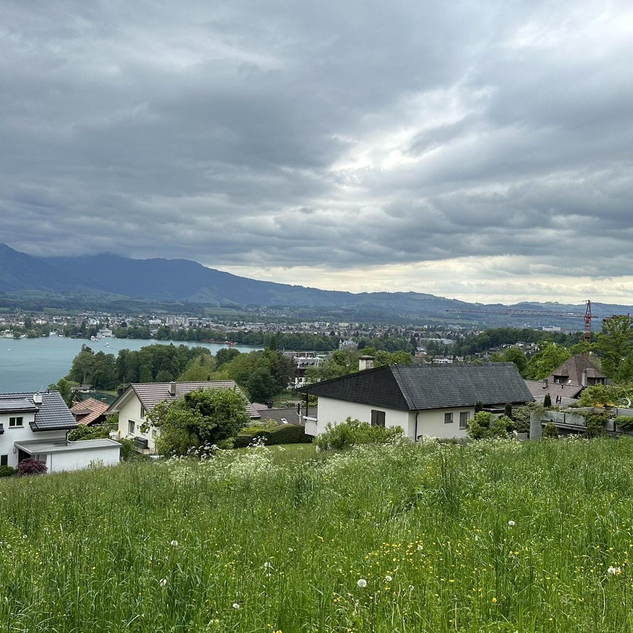
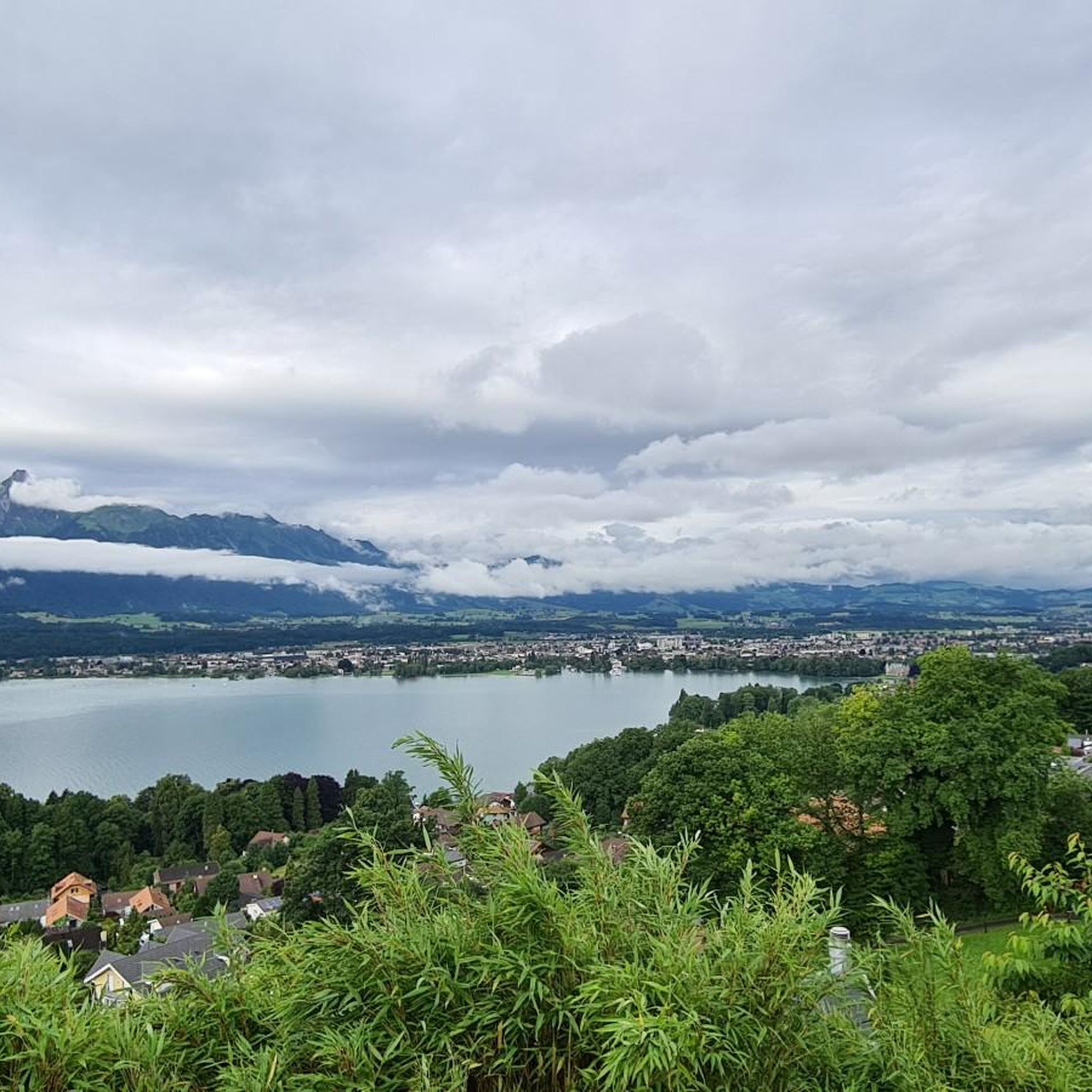
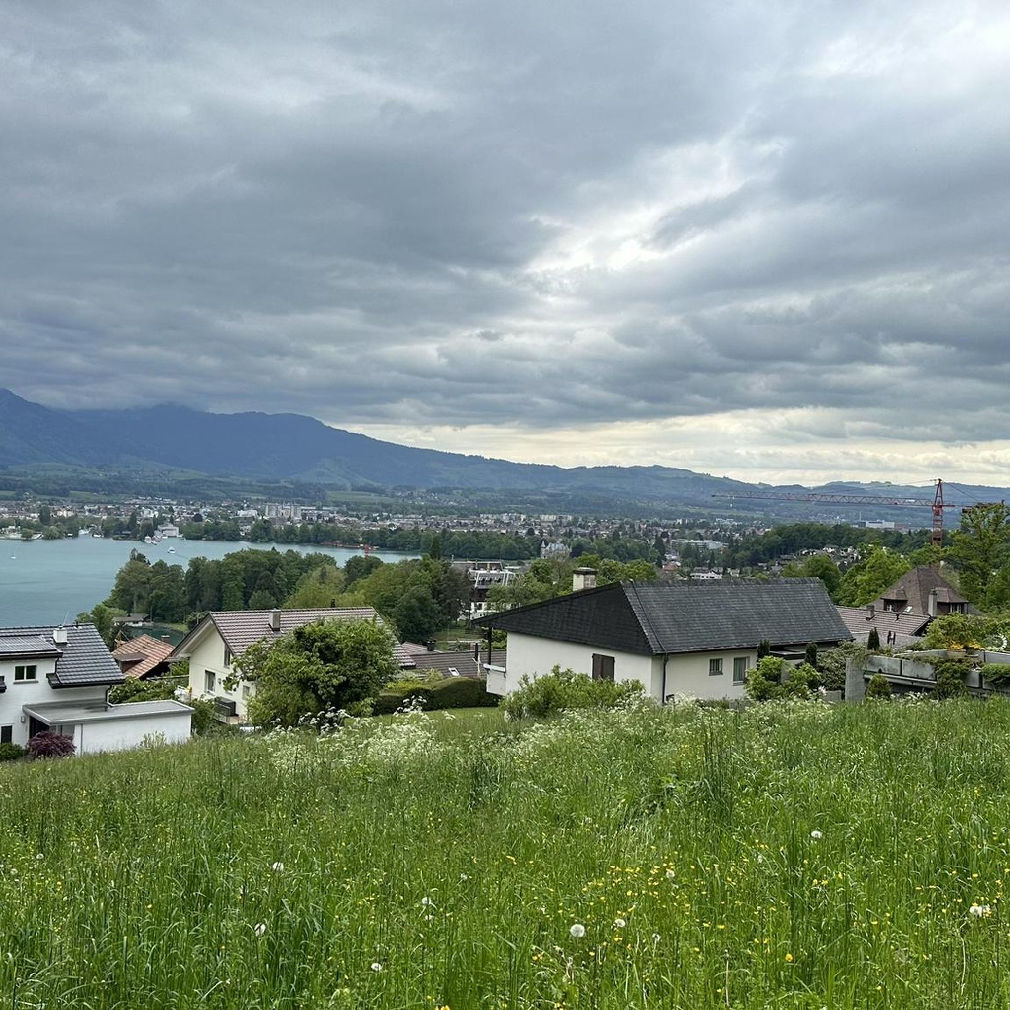

Tips from the Community

Wonderful vantage point. Can be reached on snowshoes from the Niederhorn mountain station in about an hour.
2
0
The signpost at the Burgfeldstand is impossible to miss
6
0
Magnificent panoramic point Highest peak of the so-called "Güggisgrat", which extends south of the Justistal over the Niederhorn to the Gemmenalphorn. Legend has it that this peak represents the ruins of a destroyed castle. The rocky outcrops that dominate the Justistal west of the peak give the impression of collapsed quarry stone walls. The peak is easy to reach thanks to the railway and the comfortable path.
8
0
Highest point of the Güggigrat with a wonderful panoramic view
7
1
Timetable: https://www.niederhorn.ch/fahrplan-preise/fahrplan
5
1
Beautiful panorama
3
0
Beautiful panorama on the summit
3
1
Frequently Asked Questions
Which mountain peaks near Hilterfingen offer the best panoramic views?
For breathtaking panoramic views, consider visiting the Stockhorn Summit & Panoramic Viewpoint, which offers magnificent vistas of the surrounding mountains and both Lake Thun and Lake Brienz. Another excellent choice is the Niederhorn Summit, providing picturesque views of Lake Thun, the Bernese Alps, and the Justistal valley. Don't miss the Niesen, often called the 'Swiss Pyramid,' which boasts an unrivaled 360-degree panorama above Lake Thun, including the iconic Eiger, Mönch, and Jungfrau.
Are there any family-friendly mountain peaks or viewpoints accessible near Hilterfingen?
Yes, several options are suitable for families. The Niederhorn Summit is considered family-friendly and accessible via cable car. The Stockhorn Summit & Panoramic Viewpoint is also easily reached by cable car in just 20 minutes and offers walks suitable for various ages. For a unique experience, the Blueme Observation Tower provides superb 360-degree views after a relatively easy hike.
What are the easiest mountain hikes or accessible viewpoints around Hilterfingen?
For easy access and stunning views, the Stockhorn Summit & Panoramic Viewpoint is a great choice, as it's reachable by a 20-minute cable car ride. The Blueme Observation Tower is also a popular hiking destination with relatively easy access, often via trails from Heiligenschwendi, leading to its 16-meter-high tower.
What kind of outdoor activities can I do near the mountain peaks around Hilterfingen?
The region offers a diverse range of outdoor activities. Near the peaks, you can enjoy various hiking trails, from leisurely strolls to more challenging mountain hikes. The Stockhorn area, for example, is excellent for walks, mountain hikes, and even fishing in its two mountain lakes. For more specific routes, you can explore Mountain Hikes around Hilterfingen, Cycling around Hilterfingen, or Running Trails around Hilterfingen.
Are there challenging mountain climbs or via ferratas near Hilterfingen?
Yes, for those seeking a challenge, the Sunnighorn Via Ferrata is an excellent option, especially for beginners in via ferrata climbing, offering ingenious views. Additionally, the region provides numerous challenging mountain hikes, such as the 'Burgfeldstand Summit – Gemmenalphorn loop from Niederhorn' which is a difficult mountaineering route.
What is the 'Swiss Pyramid' and how can I visit it?
The 'Swiss Pyramid' refers to Niesen, a distinctive peak rising to 2,362 meters. You can reach its summit and viewing platform via a spectacular 30-minute funicular ride, known for its steep gradients. For the more adventurous, it's also possible to hike up.
Can I find cafes or restaurants near the hiking trails and mountain peaks?
Yes, facilities are available at some of the popular peaks. For instance, the Niederhorn Summit has a restaurant where you can enjoy refreshments with a view. Many popular hiking areas also feature mountain huts or restaurants along the trails or at cable car stations.
What is the best time to visit the mountain peaks around Hilterfingen?
The best time to visit largely depends on the activities you plan. The warmer months from late spring to early autumn (May to October) are ideal for hiking and enjoying the full range of outdoor activities. During this period, cable cars and funiculars typically operate daily, and trails are clear of snow. Some peaks may offer winter activities, but accessibility and trail conditions can vary.
What makes the Burgfeldstand Summit unique?
The Burgfeldstand Summit is the highest point of the Güggisgrat and is unique for its rocky outcrops that, according to legend, resemble the ruins of a destroyed castle. It offers unique geological features and magnificent panoramic views, easily accessible thanks to railway access and comfortable paths.
Are there any specific hiking trails that connect multiple peaks or offer circular routes?
Yes, the region is known for its interconnected trails. From the Niederhorn Summit, you can traverse the entire Güggisgrat, which extends to the Burgfeldstand Summit and further to the Gemmenalphorn. A notable circular route is the 'Burgfeldstand Summit – Gemmenalphorn loop from Niederhorn', offering a comprehensive mountain hiking experience.
How accessible are the mountain peaks from Hilterfingen?
The mountain peaks around Hilterfingen are generally very accessible. Many, like the Niederhorn and Stockhorn, are conveniently reached by cable car or funicular from nearby towns, making them easy day trips from Hilterfingen. The region's excellent public transport network also connects to the base stations of these mountain railways.
What can I expect to see from the Blueme Observation Tower?
From the 16-meter-high Blueme Observation Tower, you can enjoy a superb 360-degree panorama. This includes sweeping views across the Jura mountains, the sparkling Lake Thun, and the majestic Bernese Alps, offering a different perspective of the landscape compared to the higher summits.
Most popular routes around Hilterfingen
Most popular attractions around Hilterfingen

Get inspired with the komoot mobile app


Explore more
See even more amazing summits around Hilterfingen with these guides:
