The best mountain hikes around Hilterfingen
4.8
(25)
187
hikers
7
hikes
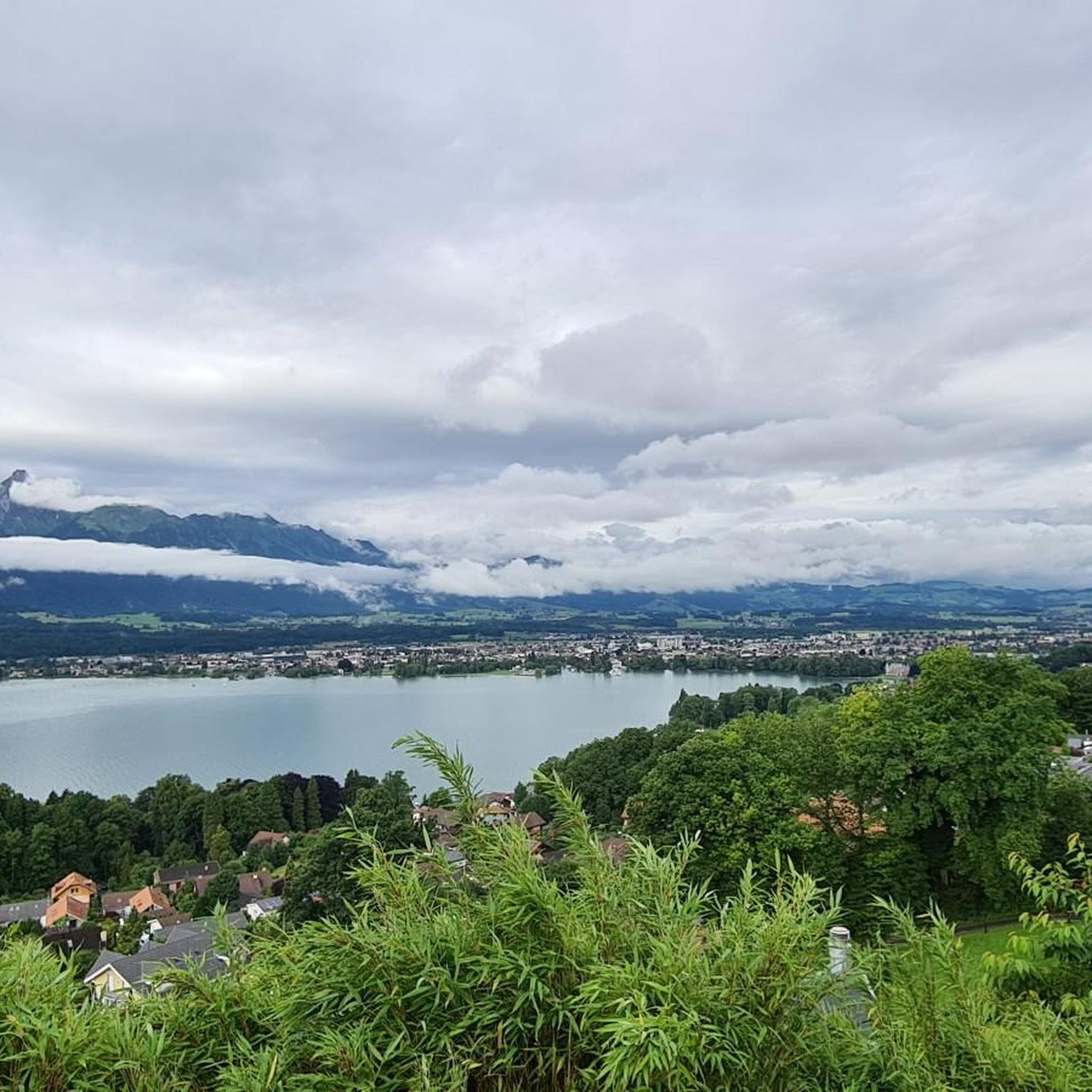
Mountaineering routes around Hilterfingen are situated in the Bernese Oberland, offering access to alpine terrain and panoramic views of Lake Thun. The region is characterized by significant elevation changes, with routes often leading to prominent summits and through mountain passes. The landscape features a mix of rocky ascents, high alpine meadows, and forested sections at lower altitudes.
Best mountaineering routes around Hilterfingen
- The most popular mountaineering route is Brothüsiweg Covered Bridge – Adlerhorst (1960 m) loop from Wimmis, a…
Last updated: May 25, 2026
4.7
(15)
116
hikers
7.37km
04:02
730m
730m
Hard mountaineering route. Good fitness required. Sure-footedness, sturdy shoes and alpine experience required.
5.0
(2)
8
hikers
15.9km
07:11
960m
960m
Hard mountaineering route. Very good fitness required. Sure-footedness, sturdy shoes and alpine experience required.

Sign up for free
4.0
(1)
12
hikers
8.96km
04:35
800m
800m
Hard mountaineering route. Good fitness required. Sure-footedness, sturdy shoes and alpine experience required.
5.0
(2)
10
hikers
9.42km
04:48
800m
800m
Hard mountaineering route. Good fitness required. Sure-footedness, sturdy shoes and alpine experience required.
5.0
(1)
10
hikers
15.9km
06:48
1,040m
1,040m
Hard mountaineering route. Very good fitness required. Sure-footedness, sturdy shoes and alpine experience required.
Get access to more routes and recommendations from other explorers.
Sign up for free
Already have an account?
Our route recommendations are based on thousands of hikes, rides, and runs completed by other people on komoot.
Start today with a free account
Your next adventure awaits.
Login or Signup
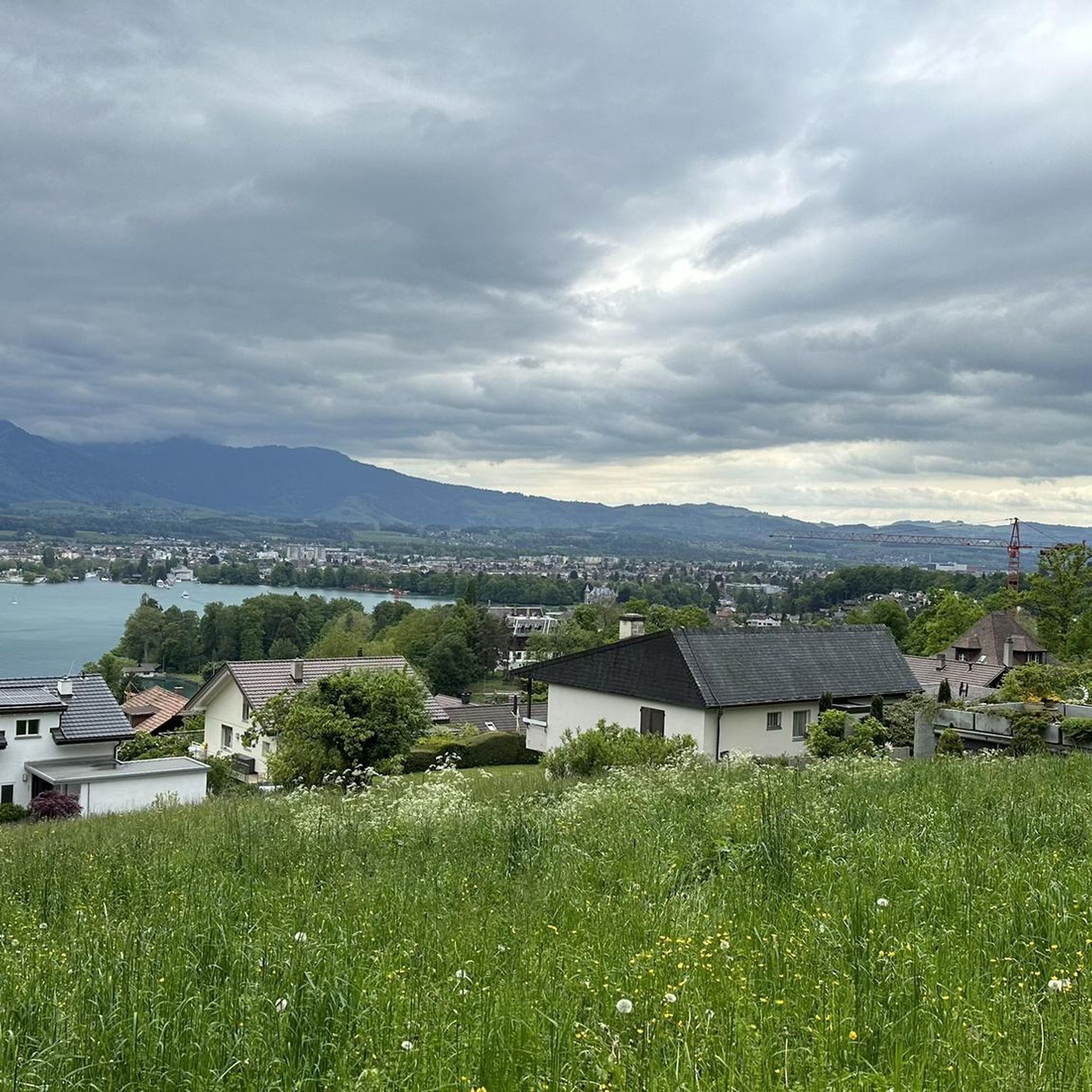
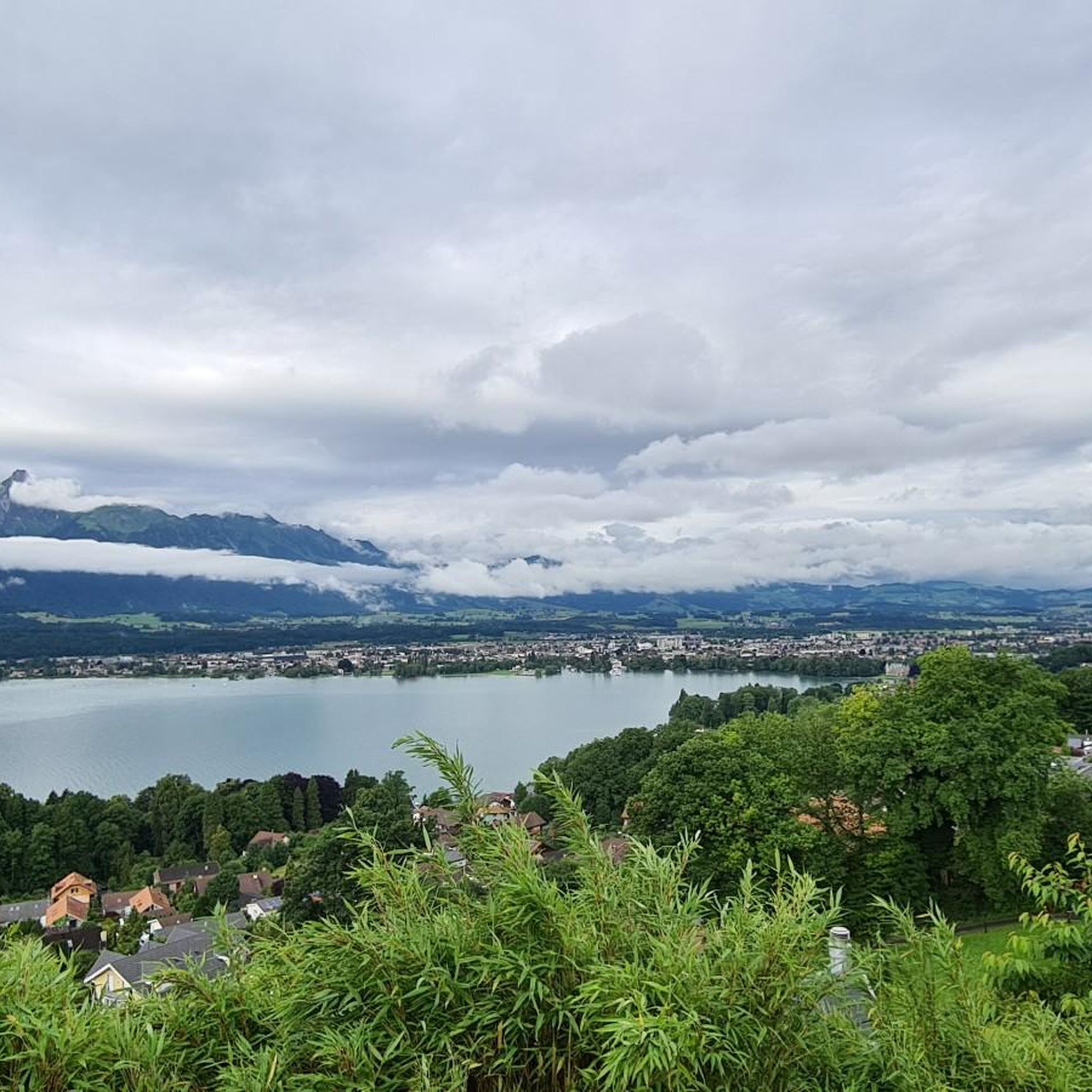
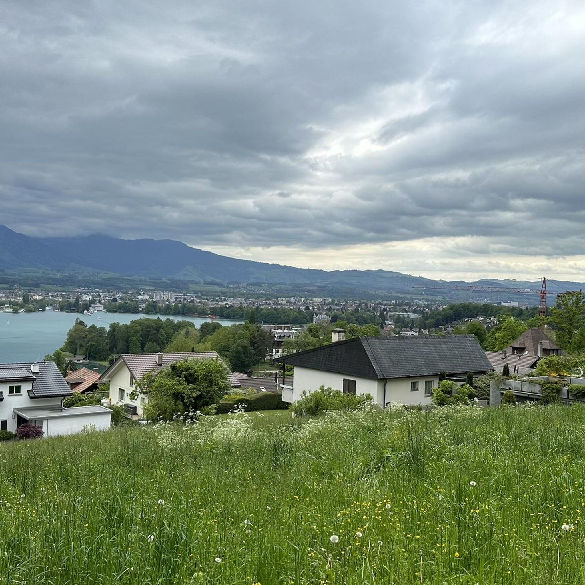
Tips from the Community

The Gemmenalphorn is a scenic summit above Lake Thun and part of the Niederhorn chain. The distinctive grassy mountain reaches an altitude of 2061 meters and offers an impressive panorama of the Eiger, Mönch, and Jungfrau, as well as the deep blue Lake Thun. The hike from the Niederhorn via the scenic ridge path is particularly popular. In summer, ibex often graze in the area, which is why the region is also highly valued by wildlife observers. Despite its height, the Gemmenalphorn is technically quite easy to reach and ideal for pleasure hikers.
2
0
The ascent from the east can be very tricky in spring, as there may still be snow in exposed places.
2
0
Beautiful alp on the way to the Sigriswiler Rothorn
7
0
Beautiful and little-frequented summit with panoramic views
7
0

Difficult ascent including easy climbing but at the top everything is forgotten, the effort was worth it, the view is amazing.
0
1

The Sigriswiler Rothorn (2,051 m) is an impressive vantage point high above Lake Thun ⛰️🌊. The ascent is mostly along the ridge and requires surefootedness and a head for heights ⚠️🥾 – caution is advised, especially in wet conditions. At the top, you'll be rewarded with a fantastic 360° panorama: views of the Eiger, Mönch, and Jungfrau, the Mittelland, and Lake Brienz and Lake Thun 🏔️👀 – ideal for a summit rest and impressive photos 📸. Equipment: Sturdy hiking boots, weather protection 🧥, provisions 🥪, water 💧. No food or drink options along the way. Recommendation: Set off early ⏰, and avoid the ridge in uncertain weather. An absolutely worthwhile summit for experienced hikers!
1
0
A beautiful spot with stunning views of the Bernese Oberland! ⛰️🌲. The trail is well marked, but surefootedness is required, especially in wet conditions ⚠️. Recommendation: Start early ⏰ to enjoy the peaceful morning atmosphere! Equipment: Sturdy hiking boots 🥾, weatherproof clothing 🧥, and poles 🦯 if needed. Note: No refreshment stops – bring plenty of water 💧 and provisions 🥪.
2
0
Wonderful vantage point. Can be reached on snowshoes from the Niederhorn mountain station in about an hour.
2
0
Frequently Asked Questions
What is the general difficulty level of mountaineering routes around Hilterfingen?
All mountaineering routes around Hilterfingen are rated as difficult. They are characterized by significant elevation changes, rocky ascents, and high alpine terrain, making them suitable for experienced mountaineers.
How many mountaineering routes are available in the Hilterfingen area?
There are 8 challenging mountaineering routes available around Hilterfingen, offering diverse alpine experiences.
Are there any family-friendly or easy mountaineering options near Hilterfingen?
The mountaineering routes directly around Hilterfingen are all rated as difficult and involve significant alpine challenges. They are generally not recommended for families with young children or beginners. For easier hiking options, you might consider trails at lower altitudes or in less exposed areas of the Bernese Oberland.
What is the best time of year for mountaineering in Hilterfingen?
The best time for mountaineering in Hilterfingen is typically during the summer months, from June to September, when the trails are generally free of snow and weather conditions are more stable. Early autumn can also be excellent, offering clear views and cooler temperatures, but be prepared for rapidly changing alpine weather.
What kind of views can I expect on these mountaineering routes?
Mountaineering routes around Hilterfingen offer spectacular panoramic views, particularly over Lake Thun and the surrounding peaks of the Bernese Oberland. You'll experience a mix of high alpine ridges, rocky ascents, and expansive mountain landscapes.
Are there any circular mountaineering routes in the Hilterfingen area?
Yes, several routes are designed as loops. For example, the challenging Brothüsiweg Covered Bridge – Adlerhorst (1960 m) loop from Wimmis is a popular option, as is the demanding Schafloch Cave West Entrance – Alp Oberbärgli loop from Schwändiblueme.
What are some notable landmarks or attractions near the mountaineering trails?
While on the trails, you'll be immersed in the alpine landscape. For points of interest nearby, you can explore historical sites like Thun Old Town and Castle or Oberhofen Castle. The region also features fascinating natural formations such as the Schafloch East Entrance and the Schafloch — West Entrance.
What do other mountaineers say about the routes in Hilterfingen?
The mountaineering routes around Hilterfingen are highly rated by the komoot community, with an average score of 4.9 stars from over 20 reviews. Mountaineers often praise the challenging alpine ascents, the stunning panoramic views over Lake Thun, and the well-maintained trails that lead through varied and dramatic landscapes.
How long do the mountaineering routes typically take to complete?
The duration of these difficult routes varies. For instance, the Alp Oberbärgli – Sigriswiler Rothorn Summit loop from Sigriswil typically takes around 4 hours 47 minutes, while the longer Burgfeldstand Summit – Gemmenalphorn loop from Niederhorn can take approximately 7 hours 10 minutes.
Is it possible to do winter mountaineering in Hilterfingen?
Winter mountaineering in the Hilterfingen area is possible but requires specialized equipment, extensive experience, and careful planning due to snow, ice, and avalanche risks. Conditions can be very challenging, and it's essential to check current weather and avalanche forecasts before attempting any routes during winter.
What kind of wildlife might I encounter on the trails?
In the alpine environment around Hilterfingen, you might spot various wildlife. Keep an eye out for chamois and ibex on rocky slopes, marmots in high alpine meadows, and various birds of prey soaring overhead. Respect their habitat by keeping a safe distance and not disturbing them.
Are there any routes that lead to prominent summits?
Yes, several routes lead to prominent summits, offering rewarding views. The Alp Oberbärgli – Sigriswiler Rothorn Summit loop from Schwändiblueme, for example, takes you to the Sigriswiler Rothorn Summit, providing expansive vistas of the region.
Most popular routes around Hilterfingen
Most popular attractions around Hilterfingen

Get inspired with the komoot mobile app


Explore more
Browse the best Mountain Hikes & Routes in other regions.
