The 7 Most Amazing Peaks in Trollheimen Landskapsvernområde
Best mountain peaks in Trollheimen Landskapsvernområde offers a diverse mountain range with jagged alpine peaks in the west and rounded mountains in the east. This protected landscape features ancient woodlands, river valleys, and mountain lakes, situated in a transition zone between coastal and inland climates. The region is known for its extensive network of well-marked hiking trails and historic mountain huts. It also holds cultural significance with evidence of Stone Age settlements.
Best mountain peaks in Trollheimen Landskapsvernområde
- The most…
Last updated: June 25, 2026
Fluren Summit
Highlight • Summit
Translated by Google •
Tip by

Mellomfjellet Plateau
Highlight • Viewpoint
Translated by Google •
Tip by

Sign up now to discover places like this
Get recommendations on the best single tracks, peaks, & plenty of other exciting outdoor places.
Sign up for free
Trollhetta
Highlight • Summit
Tip by

Snota Summit
Highlight • Summit
Tip by
Blåhøa Ridge
Highlight • Summit
Translated by Google •
Tip by
Sign up for free to discover even more peaks in Trollheimen Landskapsvernområde.
Sign up for free
Already have an account?
Start today with a free account
Your next adventure awaits.
Login or Signup
Popular around Trollheimen Landskapsvernområde
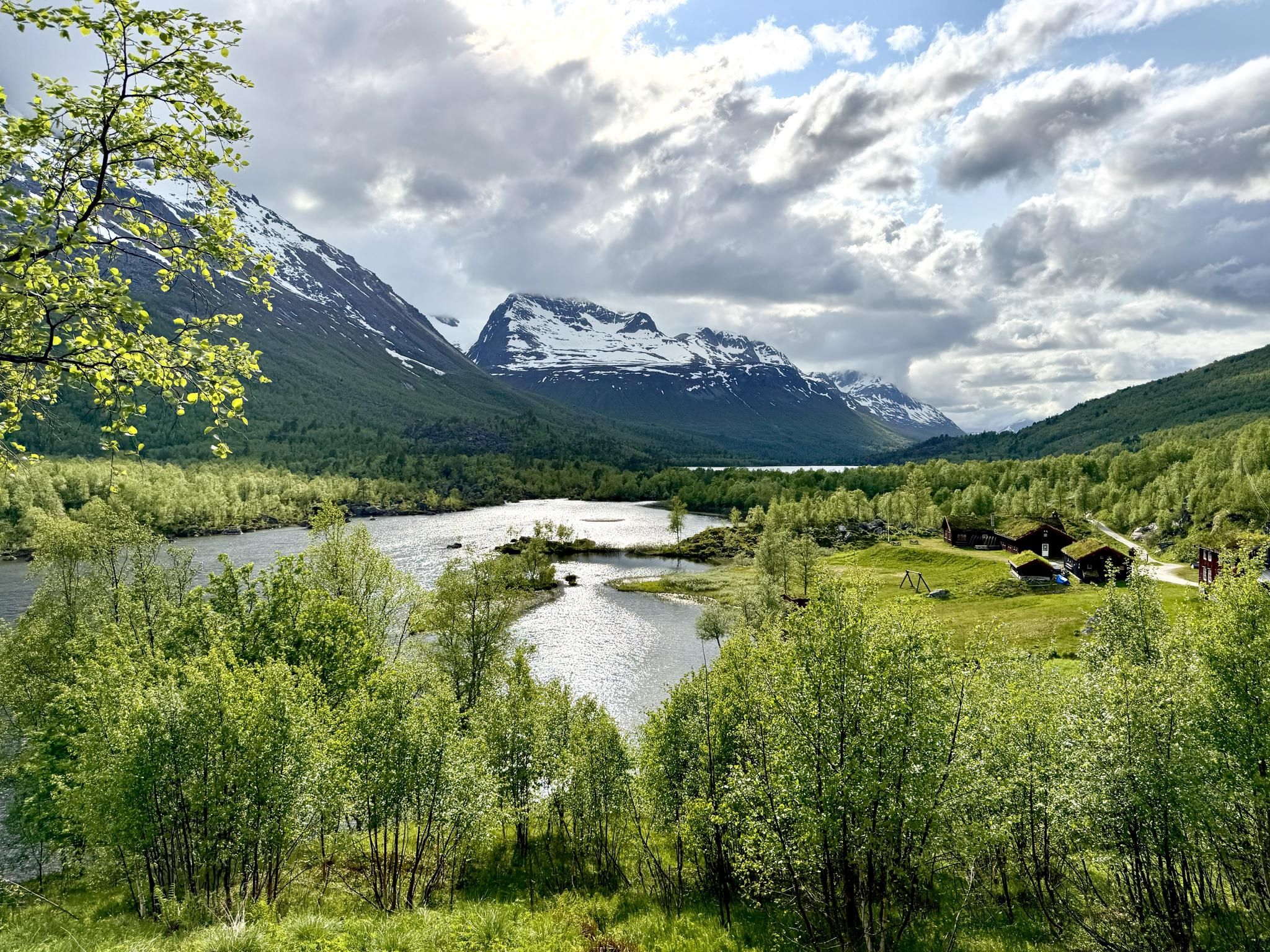
SignaTUR Trollheimen – Discover the mountainous 'home of the trolls'
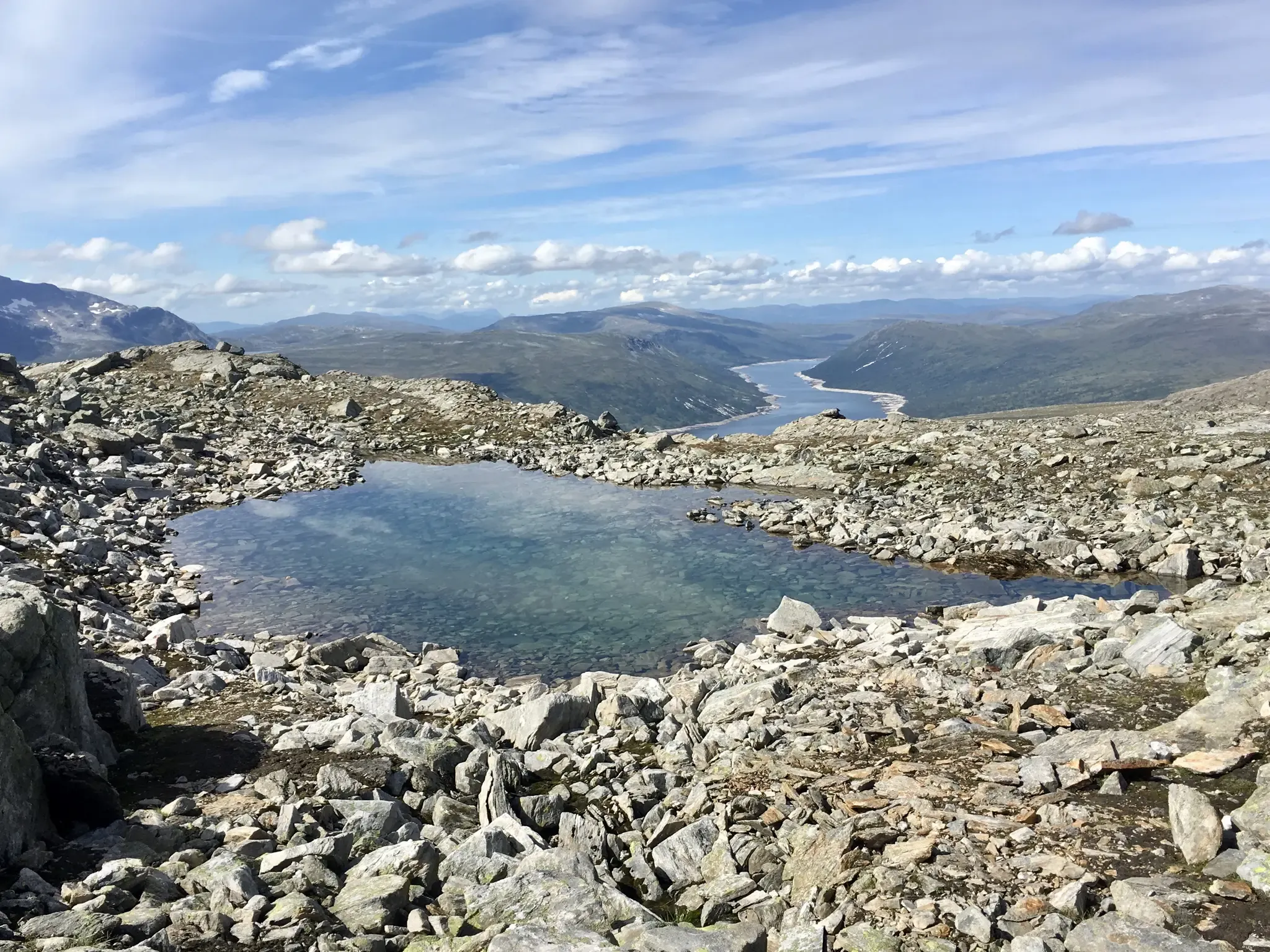
Trollheimen Triangle — A three-day cabin-to-cabin loop
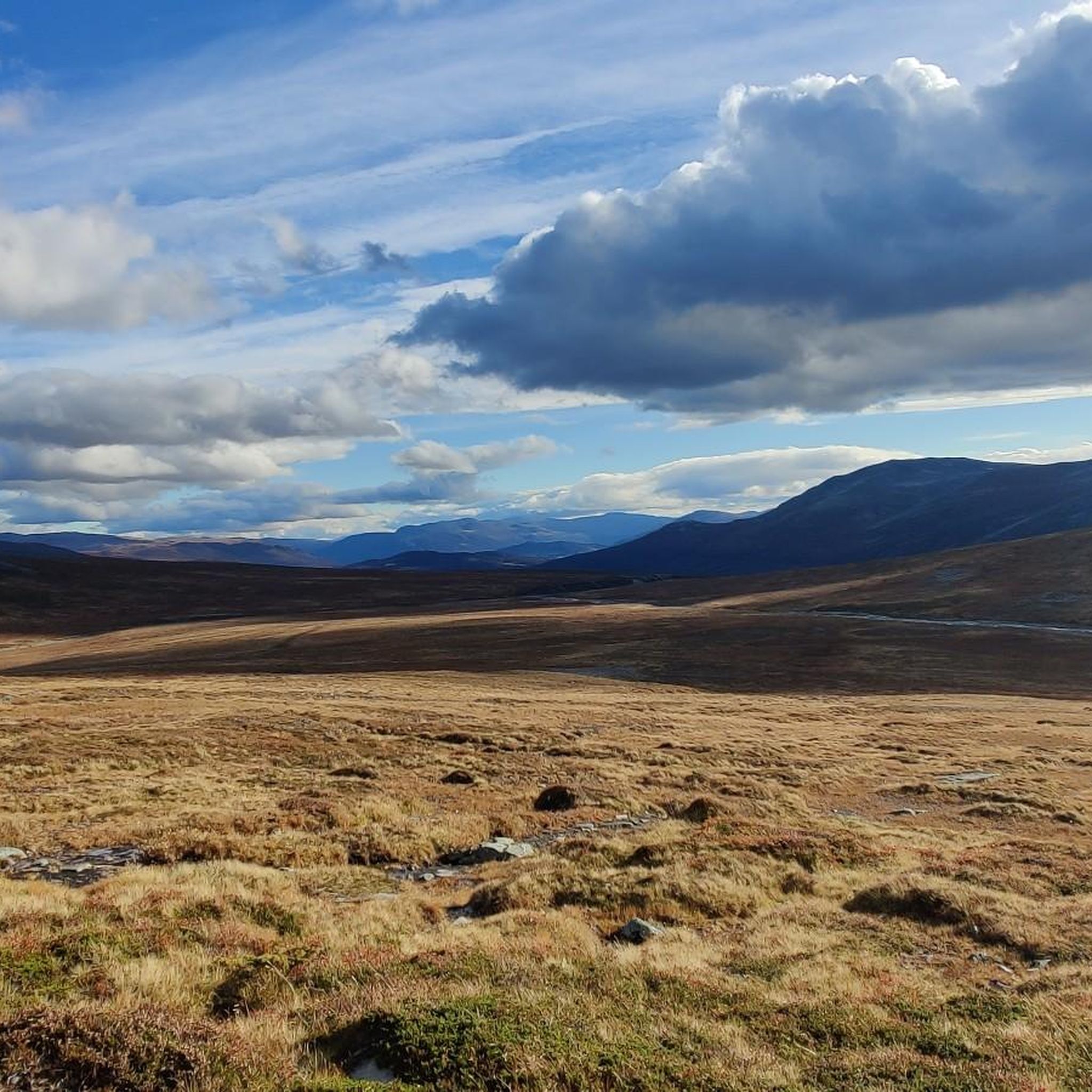
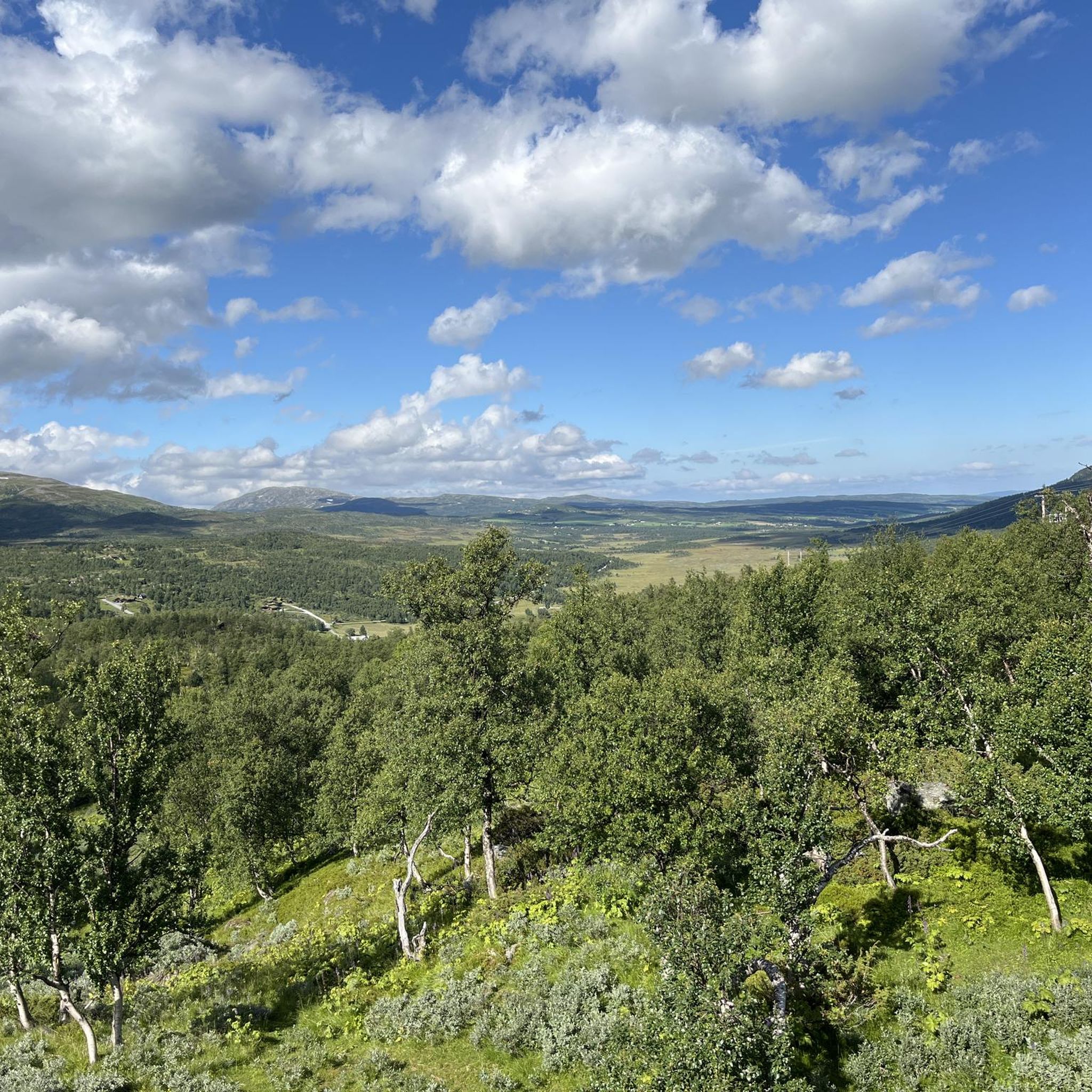
Hiking in Trollheimen Landskapsvernområde
MTB Trails in Trollheimen Landskapsvernområde
Running Trails in Trollheimen Landskapsvernområde
Cycling in Trollheimen Landskapsvernområde
Road Cycling Routes in Trollheimen Landskapsvernområde
Other adventures in Trollheimen Landskapsvernområde


Tips from the Community

At 1,668 m (5,472 ft), Snota is the highest peak in Surnadal Municipality and a superb objective. It can be hiked from Trollheimshytta, though you'll need to clear a day for the effort. Many believe the hike to be one of Norway's finest hikes and the mountain to be one of the most beautiful in the Trollheimen range.
1
0
Trollhetta is a mighty mountain that towers above Svartådalen. The massif has three main peaks, the southern one being the highest, at 1,616 metres (5,302 ft). A beautiful pool, Trollauget, nestles in the cirque beneath the peaks. A traverse of the mountain can be undertaken as part of the SignaTUR Trollheimen during the stage between Jøldalshytta and Trollheimshytta.
0
0

A nice mellow gradient before the descent to Trollheimshytta.
0
0

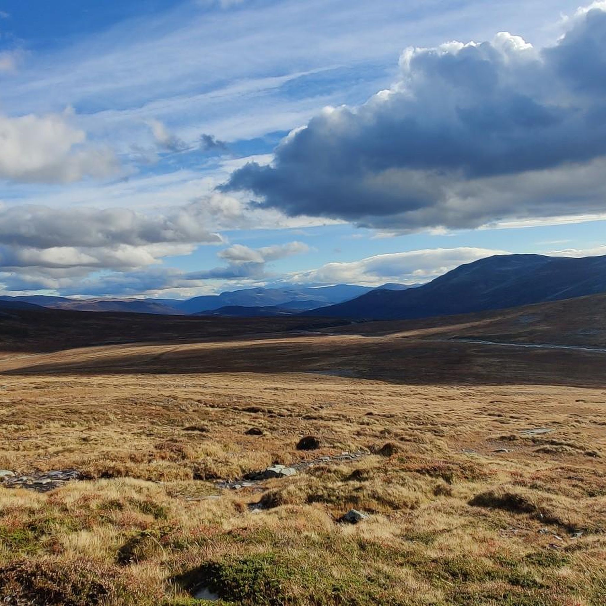
As the name suggests, low mountain range ('Mellomfjellet'). Easy up and down, before you start the descent to Trollheimshytta
0
0
The short detour to Blåhøa offers a fantastic view. Down to Gjevilvassdalen and Blåhøtjønna, both with beautiful sandy beaches, and to the surrounding mountains. An endless panorama. An information board at the watchtower testifies to the love of country.
0
0

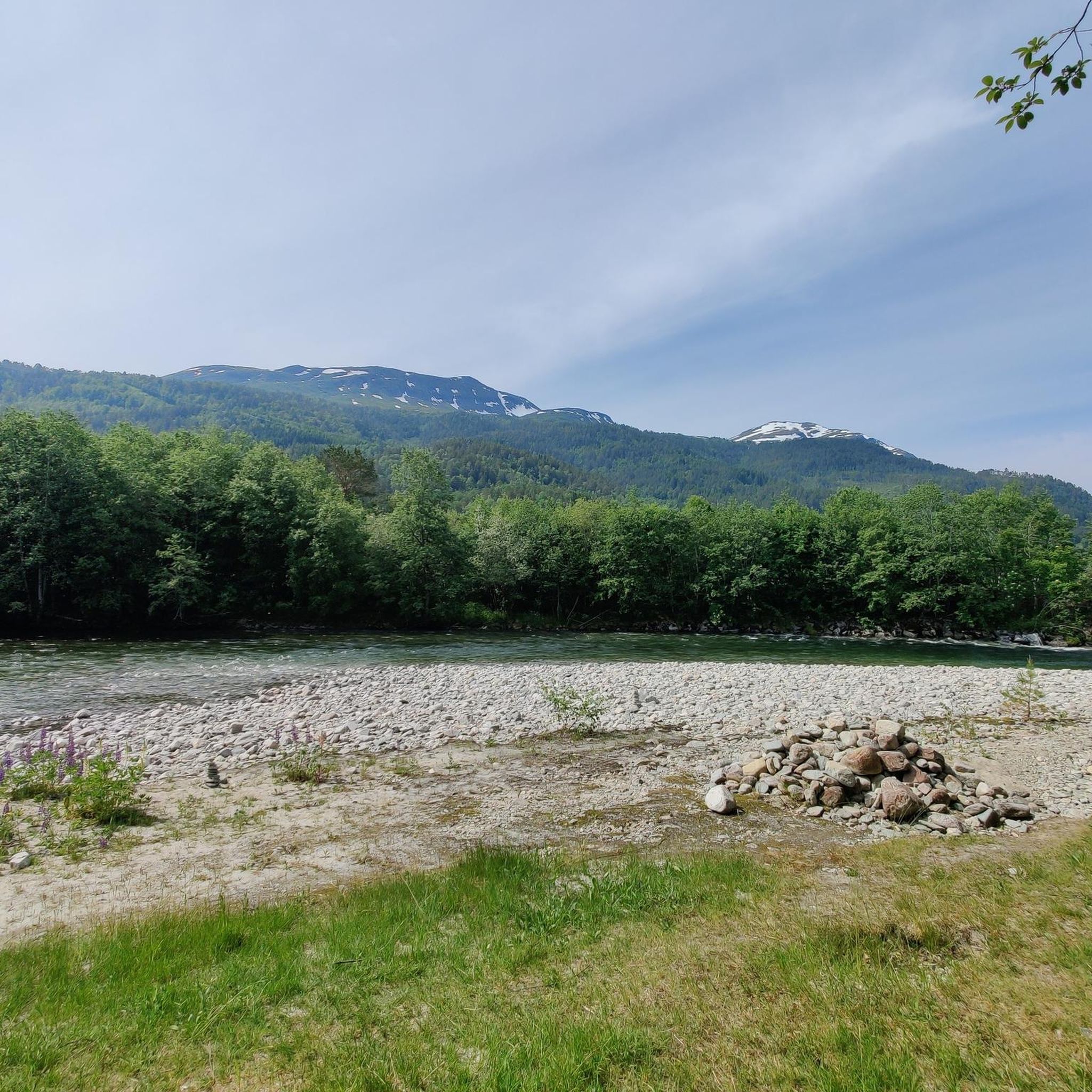
Since there is no summit cross or the like, a bit difficult to see, you can still orientate yourself on the pile of stones. When you look around you get a lot of respect for the surrounding mountains.
0
0
Frequently Asked Questions
What are some of the most notable mountain peaks to visit in Trollheimen Landskapsvernområde?
Trollheimen offers a diverse range of peaks. Highly regarded options include Snota Summit, known as one of Norway's finest hikes, and Trollhetta, which offers an exhilarating high-mountain experience. Other significant peaks mentioned in the region are Store Trolla, the highest at 1,850 meters, and the iconic Innerdalstårnet, often called the 'Norwegian Matterhorn'.
Are there any family-friendly mountain peaks or trails in Trollheimen Landskapsvernområde?
While many peaks offer challenging ascents, the region does have options for varying skill levels. For a less strenuous experience, the Mellomfjellet Plateau is a low mountain range offering an easy ascent and descent. The broader Trollheimen area also features extensive trail networks, some of which are suitable for families, especially those connecting the mountain huts.
What kind of terrain can I expect when hiking mountain peaks in Trollheimen?
Trollheimen Landskapsvernområde is known for its diverse terrain. The western parts feature jagged alpine peaks, while the eastern areas have gentler, more rounded mountains. You'll encounter ancient woodlands, lush river valleys, and crystal-clear mountain lakes. Some peaks, like Trollhetta, involve exposed ridge walking, while others, such as Fluren Summit, offer respect for the surrounding mountains from a pile of stones.
What is the best time of year to hike the mountain peaks in Trollheimen Landskapsvernområde?
The best time for hiking in Trollheimen is generally during the summer months, from late June to early September, when the trails are typically free of snow and the weather is most stable. This period allows access to the extensive network of trails and mountain huts.
What outdoor activities can I do near the mountain peaks in Trollheimen Landskapsvernområde?
Beyond peak bagging, Trollheimen offers a variety of outdoor activities. You can find numerous running trails, including the moderate 'Innerdalen Valley Trail' or the more difficult 'Blåhøa loop from Røstbekken'. Cycling is also popular, with routes like the 'Harbor at Gjevillvatnet loop'. For those interested in water features, there are waterfall hikes, such as the 'Vinnufossen – Vinnufossen Waterfall loop'. You can explore more options in the Running Trails, Cycling, and Waterfall Hikes guides for the region.
Are there multi-day hiking opportunities or mountain huts in Trollheimen?
Yes, Trollheimen is famous for its extensive network of mountain huts and multi-day treks. The 'Trollheimen Triangle' is a classic multi-day route that links three historic mountain huts: Gjevilvasshytta, Jøldalshytta, and Trollheimshytta. These huts often provide local cuisine and overnight stays, offering an immersive experience of the diverse landscapes.
What makes Innerdalstårnet a unique mountain peak to visit?
Innerdalstårnet, located within the stunning Innerdalen Protected Landscape, is instantly recognizable by its characteristic, needle-like spire, earning it the nickname 'Norwegian Matterhorn'. It offers a classic scramble and uniquely 'Innerdal' views. Innerdalen itself is often considered one of Norway's most beautiful alpine valleys, with waterfalls and old summer farms.
What is the highest mountain peak in Trollheimen Landskapsvernområde?
The highest and most prominent mountain in Trollheimen Landskapsvernområde is Store Trolla, standing at 1,850 meters (6,070 feet). It presents a significant challenge for experienced mountaineers seeking to conquer the region's loftiest summit.
Are there any historical or cultural sites near the mountain peaks?
Yes, the Trollheimen region boasts a rich history. It is known for Stone Age settlements and ancient trapping systems, adding a cultural dimension to the natural beauty. While specific sites near peaks may require local guidance, the historical context is woven into the landscape.
What are Kongskrona and Dronningkrona known for?
Kongskrona ('King's Crown') and Dronningkrona ('Queen's Crown') are among the highest peaks in the southwestern part of Trollheimen, at 1,821 meters and 1,817 meters respectively. They are renowned for offering majestic high-alpine experiences and breathtaking views.
What do visitors enjoy most about the mountain peaks in Trollheimen Landskapsvernområde?
Visitors frequently praise the exceptional panoramic views from summits like Snota Summit and the endless panorama from Blåhøa Ridge. The diverse landscapes, from jagged peaks to gentle valleys, and the sense of accomplishment from challenging hikes like Trollhetta, are also highly valued.
Most popular routes in Trollheimen Landskapsvernområde
Most popular attractions in Trollheimen Landskapsvernområde

Get inspired with the komoot mobile app


Explore more
See even more amazing summits in Trollheimen Landskapsvernområde with these guides:
