The best walks and hikes in Trollheimen Landskapsvernområde
4.6
(429)
2,446
hikers
68
hikes
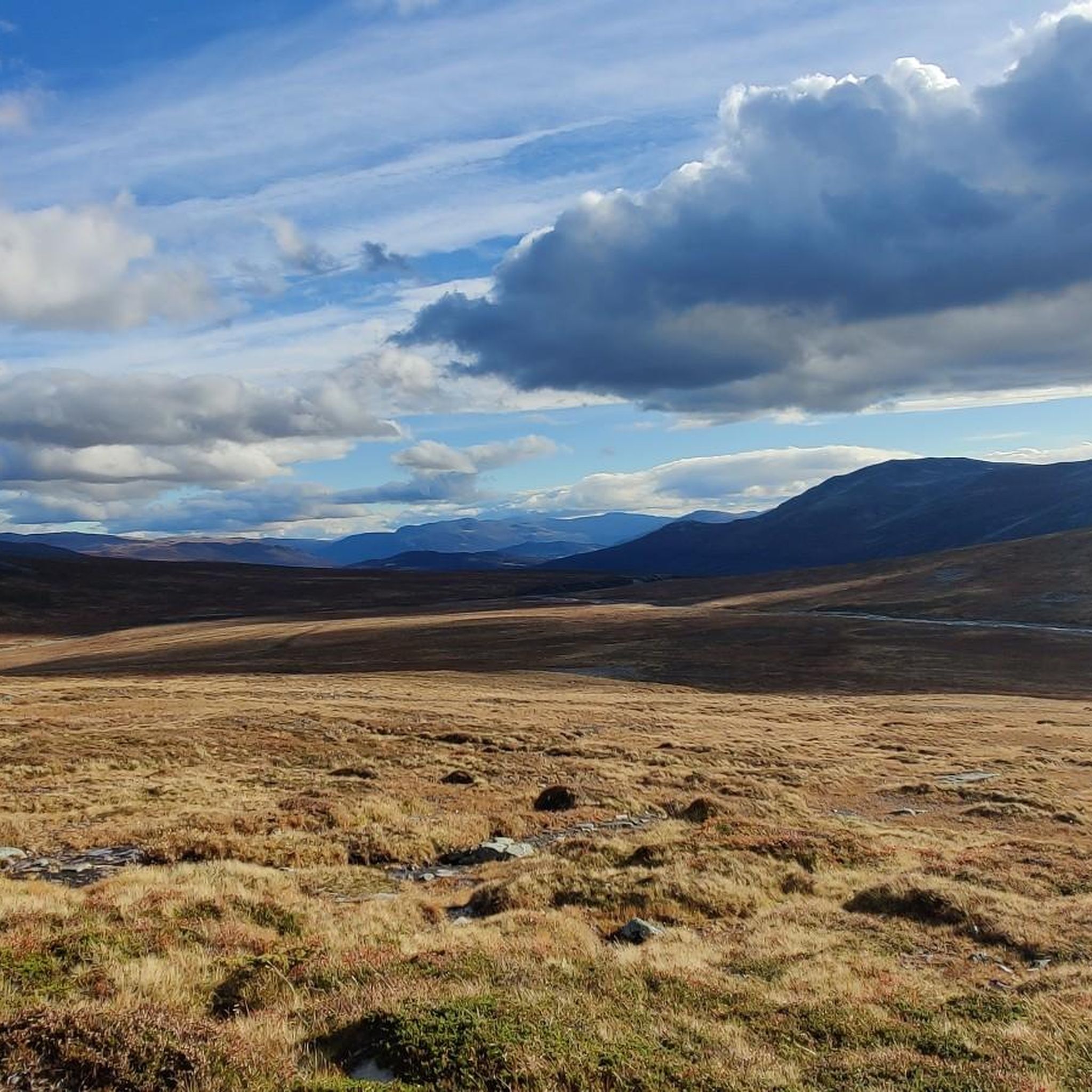
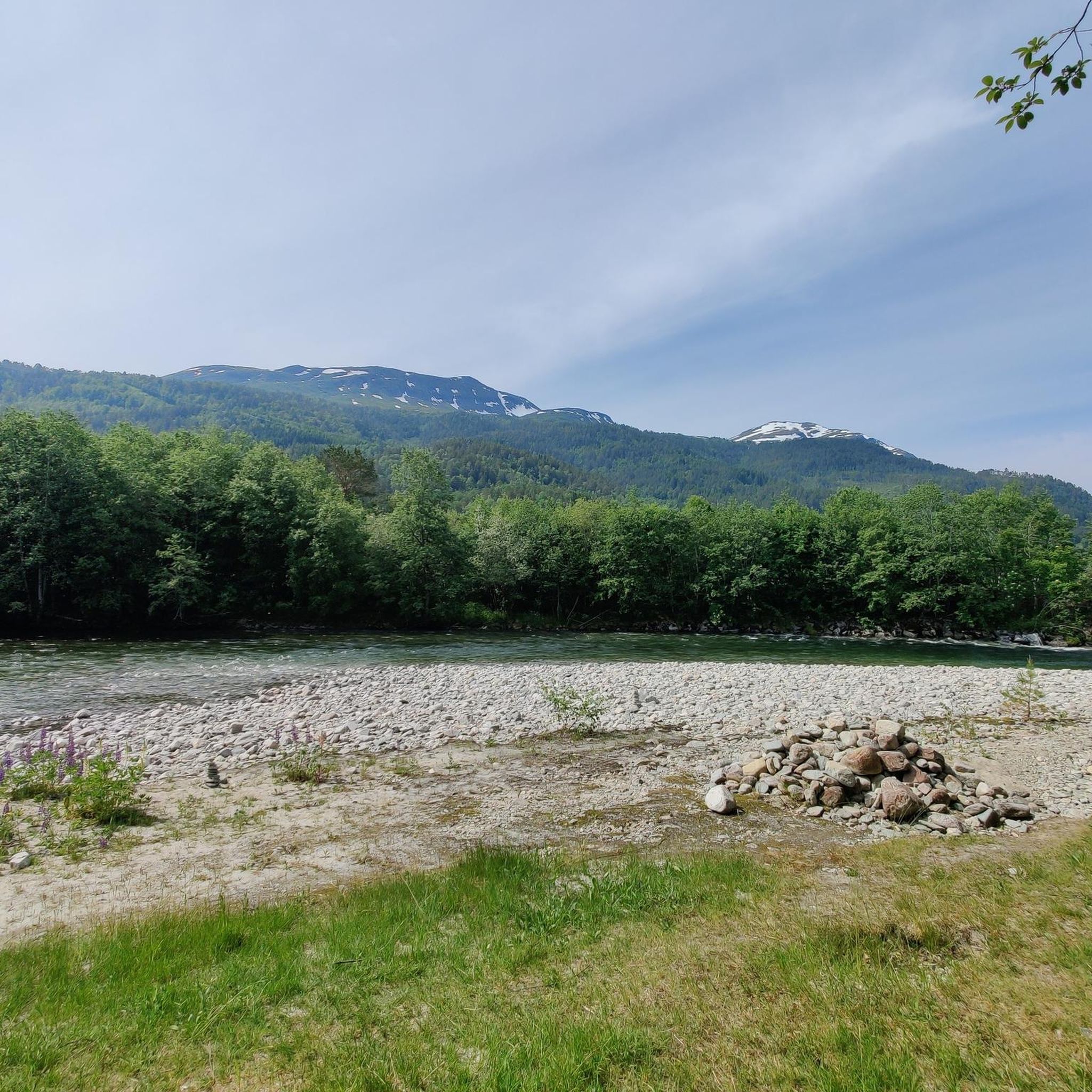
Hiking in Trollheimen Landskapsvernområde features a diverse landscape, situated in a climatic divide that results in varied natural formations. The topography ranges from the gentle, rounded hills of the eastern parts to the wild, jagged, high mountains and deep forest valleys in the west. The region is characterized by unspoiled woodlands, lush mountain valleys, and high alpine areas, offering a wide array of habitats and species.
Best hiking trails in Trollheimen Landskapsvernområde
- The most popular hiking route is DNT Gjevilvasshytta…
Last updated: May 27, 2026
4.6
(5)
78
hikers
16.3km
04:22
120m
320m
Moderate hike. Good fitness required. Easily-accessible paths. Suitable for all skill levels.
5
hikers
22.3km
08:17
940m
950m
Hard hike. Very good fitness required. Mostly accessible paths. Sure-footedness required.

Sign up for free
4.7
(10)
72
hikers
19.5km
07:08
610m
620m
Hard hike. Very good fitness required. Mostly accessible paths. Sure-footedness required.
3.0
(1)
16
hikers
Hard hike. Very good fitness required. Mostly accessible paths. Sure-footedness required.
4.5
(4)
10
hikers
4.20km
01:11
80m
90m
Easy hike. Great for any fitness level. Easily-accessible paths. Suitable for all skill levels.
Get access to more routes and recommendations from other explorers.
Sign up for free
Already have an account?
Our route recommendations are based on thousands of hikes, rides, and runs completed by other people on komoot.
Start today with a free account
Your next adventure awaits.
Login or Signup
Popular around Trollheimen Landskapsvernområde
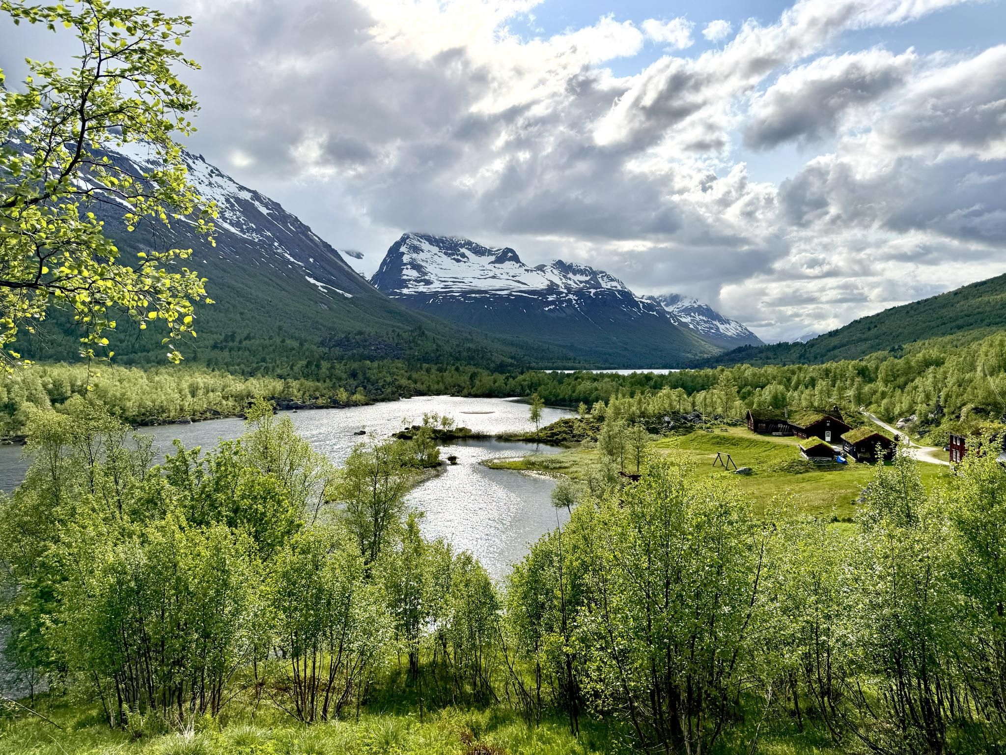
SignaTUR Trollheimen – Discover the mountainous 'home of the trolls'
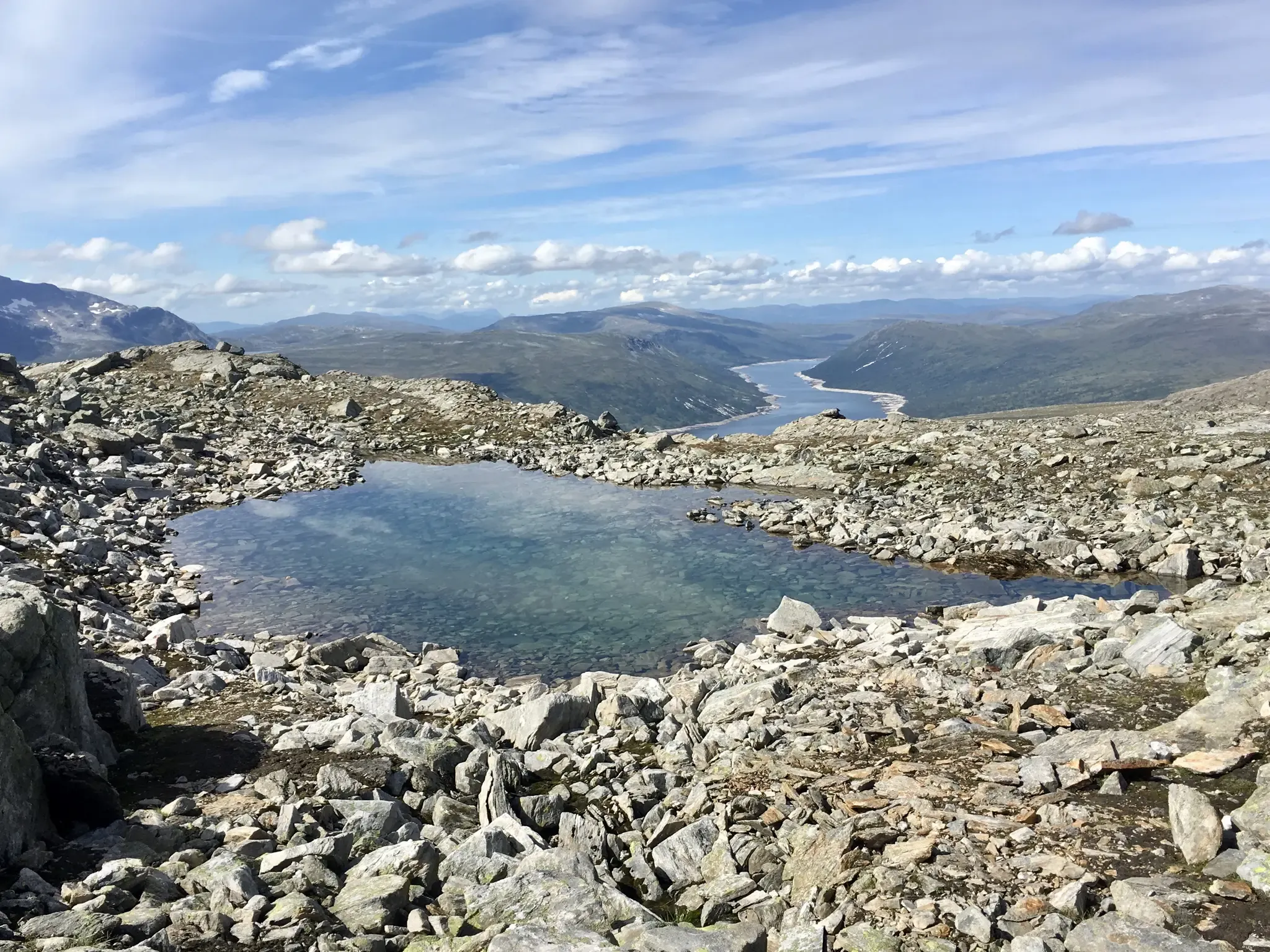
Trollheimen Triangle — A three-day cabin-to-cabin loop
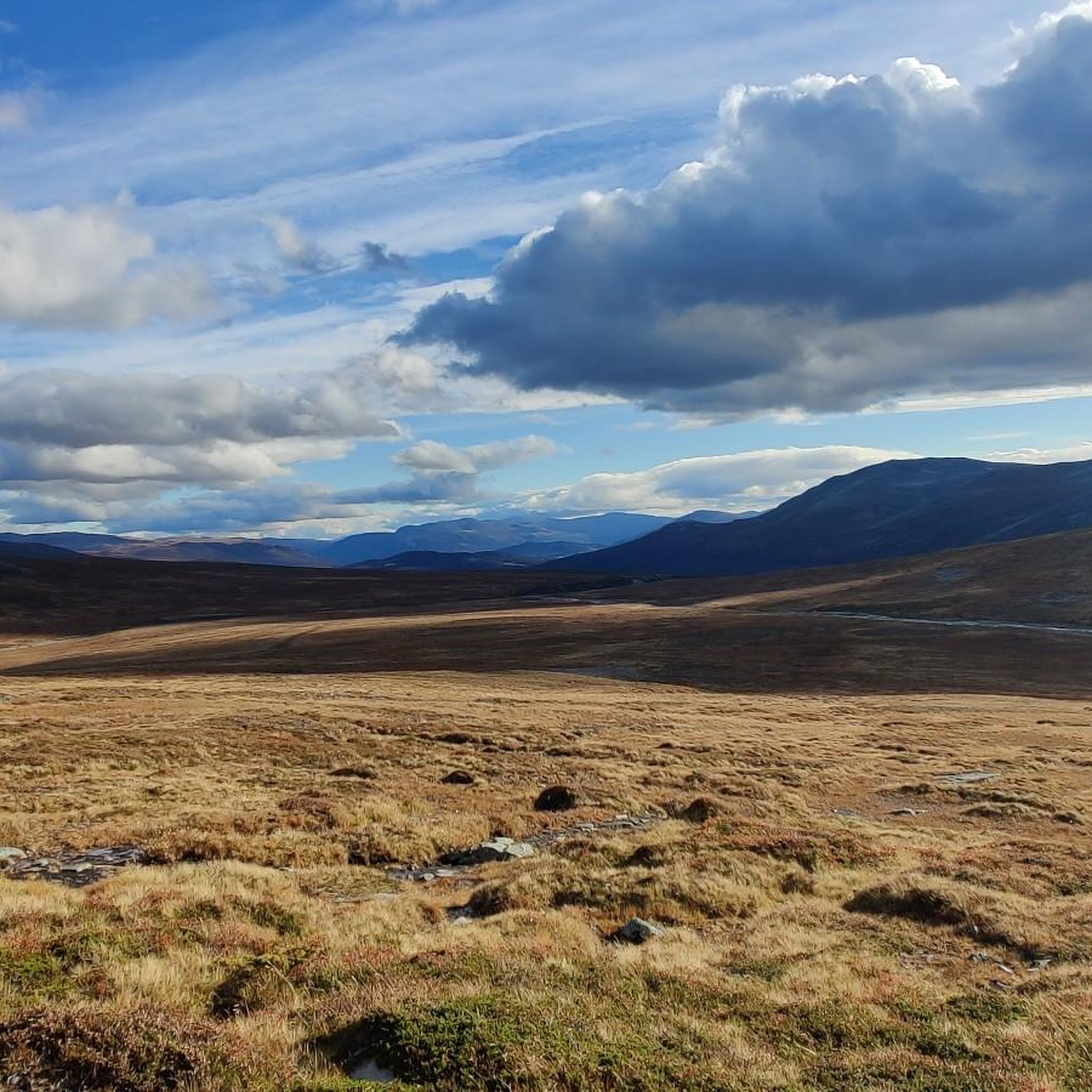
MTB Trails in Trollheimen Landskapsvernområde
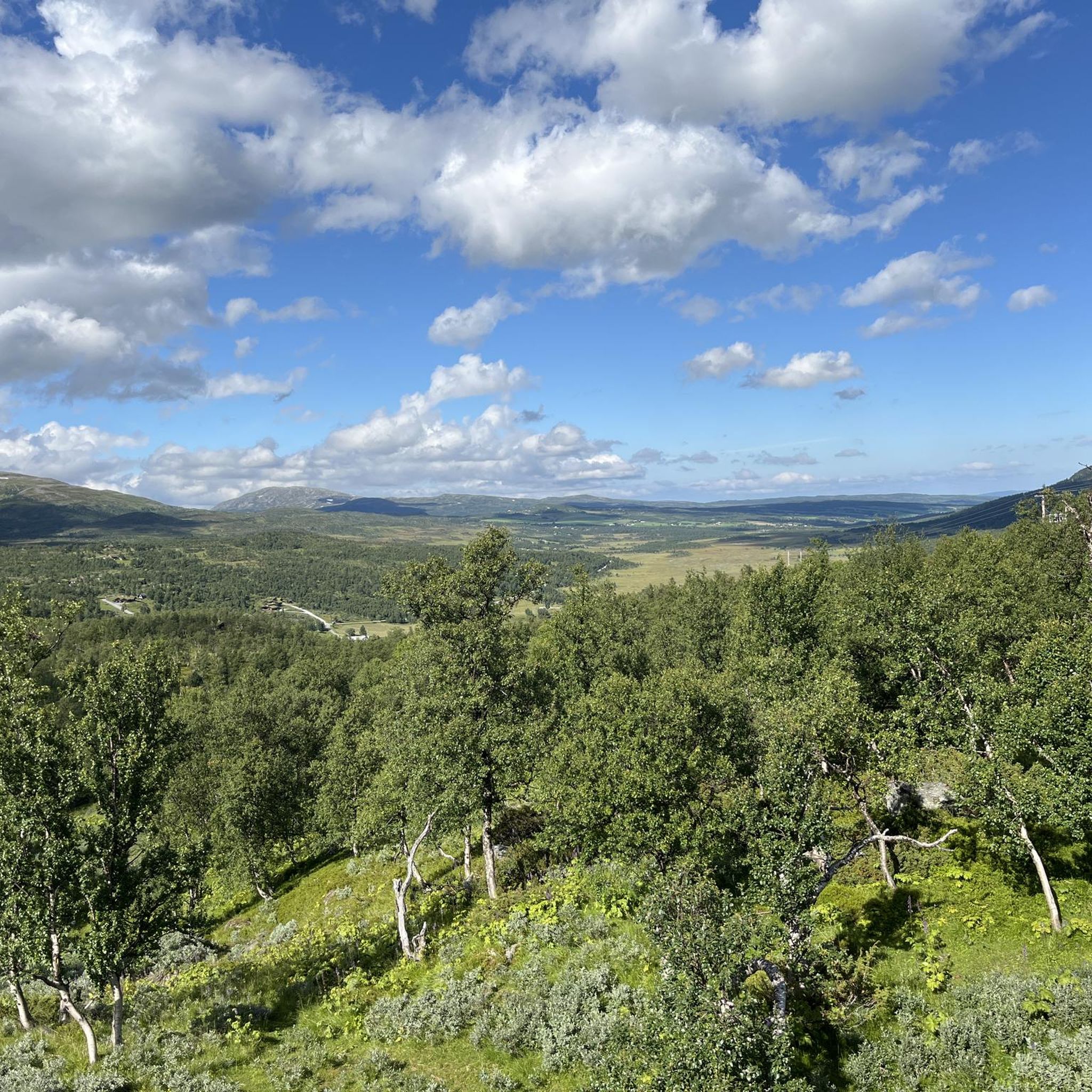
Running Trails in Trollheimen Landskapsvernområde
Cycling in Trollheimen Landskapsvernområde
Road Cycling Routes in Trollheimen Landskapsvernområde
Other adventures in Trollheimen Landskapsvernområde


Tips from the Community

This is a beautiful lake nestled beneath the slopes of Blåhøa, the highest peak in the northeast of the Trollheimen range. There's a small cabin here, Kamtjønnkoia, which was built in the 1950s to support botanists studying the region's mountain flora. There's around 500 metres (1,600 ft) of ascent from here up to Blåhøa's summit, which stands proud at 1,671 metres (5,482 ft). The hike is relatively straightforward in good weather.
1
0
This new bridge takes hikers across Gravbekken on the way to and from Gjevilvasshytta, the oldest DNT hut. From here, the SignaTUR Trollheimen follows the stream all the way to Gjevillvatnet.
1
0
Beautiful views towards towering Snota are a feature of the trails near Trollheimshytta. Indeed, as the highest peak in Surnadal Municipality at 1,668 metres (5,472 ft), Snota is a worthy objective. Those taking on the SignaTUR Trollheimen may want to take a day out to ascend this mighty peak.
1
0
A beautiful valley, Svartådalen provides the easier of the three options when hiking the SignaTUR Trollheimen between Jøldalshytta and Trollheimshytta. The longer, more strenuous alternatives travel over Geithetta to the south or Trollhetta's three peaks to the north.
1
0
Jøldalshytta offers 80 beds during the hiking season and 16 in the off season, when the cabin becomes self-service only. It has a long history, though the latest refurbishment took place between 2004 and 2005, increasing the capacity to 80 and providing more living rooms, a larger dining room and, crucially, more drying rooms.
1
0

Gjevilvasshytta’s got that old-school charm – basic rooms, big views, and loads of character.
0
0
Classic DNT cabin in a beautiful valley – Jøldalshytta’s a great place to spend the night.
0
0
A well-built bridge that allows you to cross the river without getting wet.
0
0
Frequently Asked Questions
How many hiking trails are available in Trollheimen Landskapsvernområde?
Trollheimen Landskapsvernområde offers a wide network of trails, with over 65 hiking routes documented on komoot. These range from easy paths to challenging summit climbs, catering to various fitness levels.
Are there any easy day hikes suitable for families in Trollheimen Landskapsvernområde?
Yes, there are several easy options. For a pleasant, shorter walk, consider the DNT Gjevilvasshytta loop from Rolvsjordsætra. This 4.2 km trail takes about an hour and ten minutes, leading through the scenic Gjevilvassdalen valley, which is known for its summer farms and picturesque landscapes.
What are some challenging multi-day hiking options in the region?
Trollheimen is famous for its multi-day treks, most notably the 'Trollheimen Triangle' which links serviced mountain cabins like Trollheimshytta, Jøldalshytta, and Gjevilvasshytta. These routes offer challenging terrain and significant elevation gains, providing a classic Norwegian cabin-to-cabin experience.
Can I bring my dog on the hiking trails in Trollheimen Landskapsvernområde?
Generally, dogs are welcome on trails in Norway, but specific rules apply, especially in protected areas and during certain seasons. Always keep dogs on a leash in cultivated areas, near livestock, and during the bird nesting season (typically April 1 to August 20). Check local regulations for any specific restrictions within Trollheimen Landskapsvernområde before you go.
Are there any circular hiking trails in Trollheimen Landskapsvernområde?
Many trails in Trollheimen are designed as loops. An example of a challenging circular route is the DNT Gjevilvasshytta – Gravbekken Bridge loop from Løkkjsætra hytteområde, which covers 19.5 km. For a moderate option with great views, try the Ekkertinden – Ekkertinden Cliff loop from Vollasetra.
What kind of natural features or viewpoints can I expect to see while hiking?
Trollheimen offers diverse landscapes, from gentle eastern hills to jagged western mountains. You can find unspoiled woodlands, lush valleys like Gjevilvassdalen and Innerdalen, and high alpine areas. Notable viewpoints include Mellomfjellet Plateau, and you might even spot reindeer in areas like the Trollheimen Landscape Conservation Area.
Are there mountain huts or accommodation options along the trails?
Yes, Trollheimen is well-equipped with mountain cabins. Serviced and self-service huts like Trollheimshytta, Jøldalshytta, and Gjevilvasshytta provide essential resting spots and accommodation, making multi-day trips comfortable. You can also find traditional summer farms like Renndølsetra in Innerdalen, offering a glimpse into local life.
What is the best time of year to hike in Trollheimen Landskapsvernområde?
The prime hiking season in Trollheimen typically runs from late June to September, when trails are generally free of snow and weather conditions are most stable. However, the region's diverse climate means conditions can vary, so always check local forecasts before heading out.
Are there any specific peaks or summits that are popular hiking destinations?
For those seeking summit challenges, Snota Summit is a popular objective. The distinctive Innerdalstårnet is also a well-known peak, often referred to as the 'Norwegian Matterhorn,' attracting climbers and experienced hikers.
What do other hikers enjoy most about Trollheimen Landskapsvernområde?
The area is highly rated by the komoot community, with an average score of 4.6 stars from over 400 reviews. Hikers frequently praise the varied terrain, from rounded hills to jagged mountains, and the extensive, well-marked trail network that offers options for all ability levels. The unspoiled woodlands and lush mountain valleys are also often highlighted as key attractions.
Is public transport available to reach hiking trailheads in Trollheimen Landskapsvernområde?
While public transport options might be limited directly to all trailheads, some areas, especially around larger villages or access points to popular cabins, may have bus services during peak season. It's advisable to research specific routes and their accessibility via public transport in advance, as many trailheads require private vehicle access or local taxi services.
Where can I find parking for hiking in Trollheimen Landskapsvernområde?
Parking is typically available at common starting points for popular trails and near mountain cabins. For example, areas like Løkkjsætra hytteområde and Rolvsjordsætra, which serve as access points for trails in Gjevilvassdalen, usually have designated parking. Always look for marked parking areas and be mindful of local regulations and any potential fees.
Most popular routes in Trollheimen Landskapsvernområde
Most popular attractions in Trollheimen Landskapsvernområde

Get inspired with the komoot mobile app


Explore more
Browse the best Hikes in other regions.
