The 5 Most Amazing Peaks in Carmen De Carupa
Best mountain peaks in Carmen De Carupa, a municipality in Cundinamarca, Colombia, are characterized by high altitudes and impressive mountainous landscapes. The region is known for its páramo ecosystem, featuring characteristic frailejones and a cold, windy climate. Significant natural features include Cerro Chegua, a cultural and religious landmark, and Peña de Sucre, a natural viewpoint. Carmen De Carupa offers a tranquil rural atmosphere with views of potato crops, rural houses, and the El Hato reservoir.
Best mountain peaks in Carmen…
Last updated: June 24, 2026
Alto de las Margaritas
Highlight • Mountain Pass
Translated by Google •
Tip by

Sucre Viewpoint
Highlight • Viewpoint
10km down, the SUCRE inspection...
35KM down, COPER (900msnm).
Coarse stone trail (best in MTB, pass gravel)
Translated by Google •
Tip by
Sign up now to discover places like this
Get recommendations on the best single tracks, peaks, & plenty of other exciting outdoor places.
Sign up for free
Alto de Tausa Páramo
Highlight • Natural
Cold, windy and foggy on many occasions, this paramo is part of the Tausa mountain range, at this height it contains millions of liters of water that are …
Translated by Google •
Tip by
Alto de las Antenas de Fúquene
Highlight • Summit
Translated by Google •
Tip by
Cerro de Chegua
Highlight • Summit
Translated by Google •
Tip by

Sign up for free to discover even more peaks in Carmen De Carupa.
Sign up for free
Already have an account?
Start today with a free account
Your next adventure awaits.
Login or Signup
Popular around Carmen De Carupa

Tips from the Community

Strength in the legs and enjoy the scenery
0
0
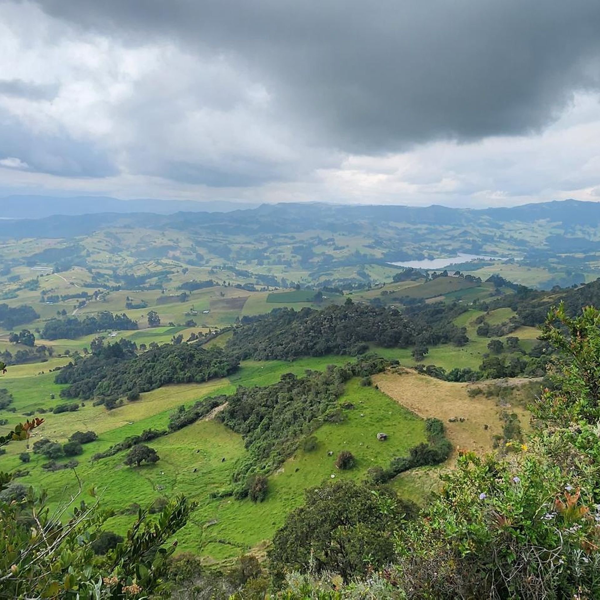
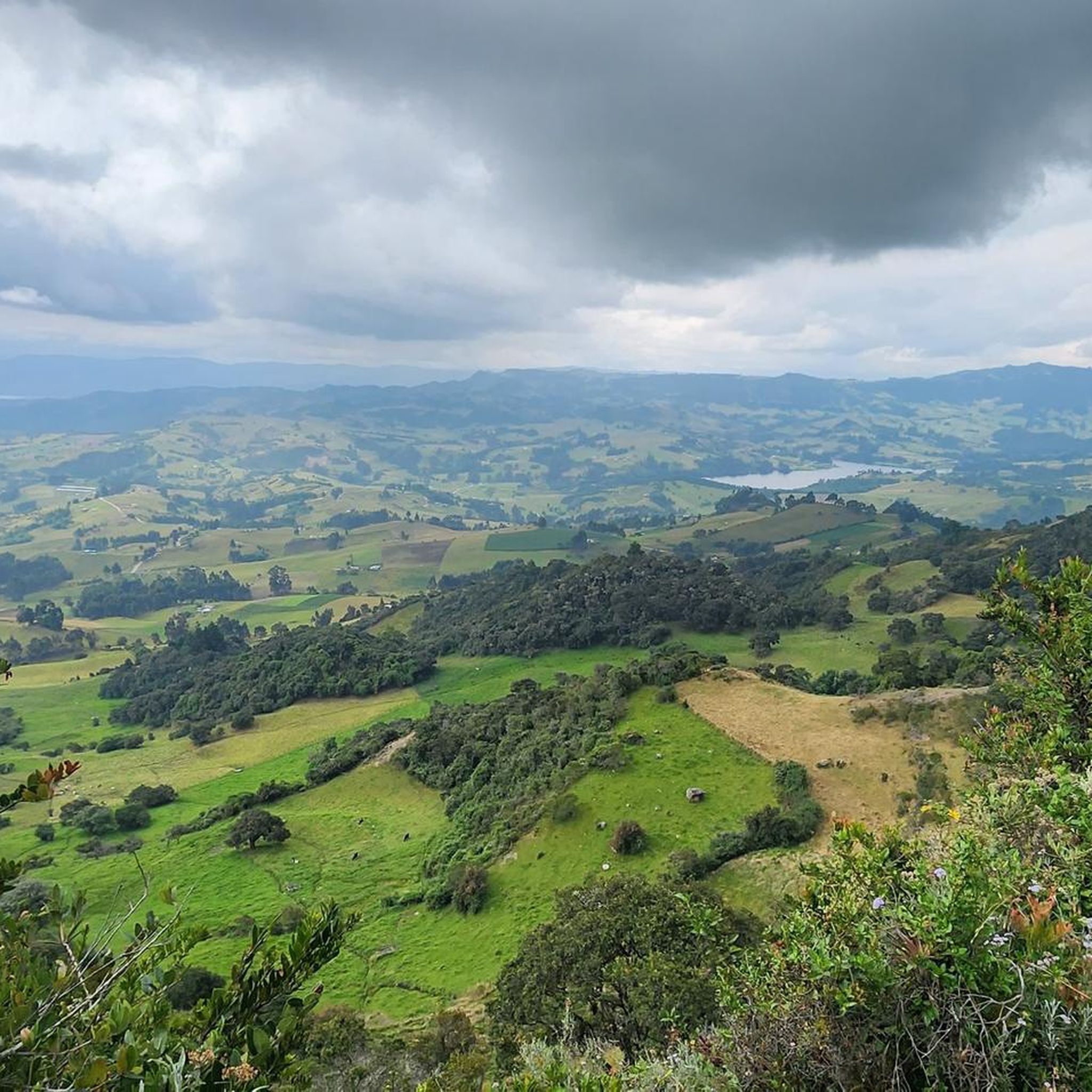
The view is excellent, you can see the Laguna del Hato and Carmen de Carupa, a demanding climb but worth it.
0
0

Very good route, very pleasant slope to ascend with a large chainring. I suggest using the variant to Cogua, the roads to Zipaquira and Cogua, very narrow, the bike path in very poor condition and the trucks and buses very aggressive.
1
0

Viewpoint to the west of Boyacá. 3,340 meters above sea level 10km down, the SUCRE inspection... 35KM down, COPER (900msnm). Coarse stone trail (best in MTB, pass gravel)
0
0
Fuquene antennas. 1.5km going up from Fuquene by trail you can reach the antennas. The road also communicates with the municipality of Susa (going down). You can go up in gravel but the terrain is very loose (caution when going down)
0
0
Classic ascent from the municipality of Cogua, 9km (+ 400m) shops and breaks on the road, heavily traveled by cyclists and cars, then you can continue to Páramo Alto and finish at 3670msnm. or connect with Neusa by trail
1
0
3,660 masl. Cold, windy and foggy on many occasions, this paramo is part of the Tausa mountain range, at this height it contains millions of liters of water that are distributed throughout the region ... you have to take care of the Frailejones
0
0
Frequently Asked Questions
What are the most popular mountain peaks and viewpoints in Carmen De Carupa?
Among the most appreciated spots are Alto de las Margaritas, a mountain pass popular with cyclists, and Cerro de Chegua, a culturally significant summit. Another favorite is Sucre Viewpoint, known for its unique rock formations and panoramic views.
What natural features can I expect to see when visiting the mountain peaks in Carmen De Carupa?
Carmen De Carupa is characterized by its high-altitude páramo ecosystem. You'll encounter characteristic frailejones, especially on trails like Cerro de Chegua. The region also offers expansive views of potato crops, rural houses, and the El Hato reservoir, along with curious rock formations at places like Sucre Viewpoint.
Are there challenging climbs for experienced hikers in Carmen De Carupa?
Yes, Cerro de Chegua offers a demanding climb that is highly rewarding. The ascent provides excellent views of Laguna del Hato and Carmen de Carupa, making it a challenging but worthwhile experience for those seeking a strenuous hike.
What is the cultural or historical significance of the mountain peaks in Carmen De Carupa?
Cerro de Chegua holds significant cultural and religious importance. A small chapel dedicated to the Virgen del Carmen sits atop its summit, making it a pilgrimage site. The trail leading up is adorned with crosses representing the Stations of the Cross, often dedicated to local families.
What is the best time to visit Carmen De Carupa for hiking and enjoying the peaks?
The region experiences a cold, windy páramo climate with constant weather changes. While specific best times aren't noted, being prepared for both warmth and cold is essential year-round. The natural beauty can be enjoyed in various conditions, but clear days will offer the best panoramic views.
Are there any accessible viewpoints for those who prefer less strenuous exploration?
Yes, Sucre Viewpoint (also known as Peña de Sucre) is a more accessible option. It's located just a 15-minute drive from the town and offers excellent spots for photography without requiring a long hike.
What kind of outdoor activities can I do near the mountain peaks in Carmen De Carupa?
Beyond exploring the peaks, the area is excellent for cycling. You can find various routes for road cycling, touring, and mountain biking. For example, explore Road Cycling Routes, General Cycling Routes, or MTB Trails in Carmen De Carupa, which often pass by or offer views of the mountainous landscapes.
Are there specific hiking trails near the mountain peaks in Carmen De Carupa?
The ascent to Cerro de Chegua follows a beautiful natural trail. Additionally, the region offers numerous cycling routes that can be adapted for hiking, such as those found in the MTB Trails guide, which include trails like the one leading to Alto de las Antenas de Fúquene.
What are the typical weather conditions to expect in the mountain areas of Carmen De Carupa?
Due to its high altitude (nearly 3,000 meters above sea level for the municipality itself, and peaks even higher), Carmen De Carupa experiences a unique cold, windy páramo climate. Visitors should be prepared for constant changes in weather, including fog, and dress in layers to accommodate both warmth and cold.
Can I find food or drink options near the mountain peaks?
While specific cafes directly on the peaks are rare, the tips for Alto de las Margaritas mention that there are shops and breaks available on the road, especially on the classic ascent from Cogua. The town of Carmen de Carupa itself will offer more options.
What makes Alto de Tausa Páramo a notable peak in the region?
Alto de Tausa Páramo, at 3,660 meters above sea level, is a significant part of the Tausa mountain range. It's known for being cold, windy, and often foggy, and plays a crucial role in the region's water supply, containing millions of liters of water distributed throughout the area. It's also a place where you can observe frailejones.
How can I reach Alto de las Antenas de Fúquene?
You can reach Alto de las Antenas de Fúquene by going up 1.5 km from Fúquene via a trail. The road also connects to the municipality of Susa (going down). While it's possible to go up by gravel bike, caution is advised on the descent due to loose terrain.
Most popular routes in Carmen De Carupa
Most popular attractions in Carmen De Carupa

Get inspired with the komoot mobile app


Explore more
See even more amazing summits in Carmen De Carupa with these guides:
