The 5 Most Amazing Peaks around Almegíjar
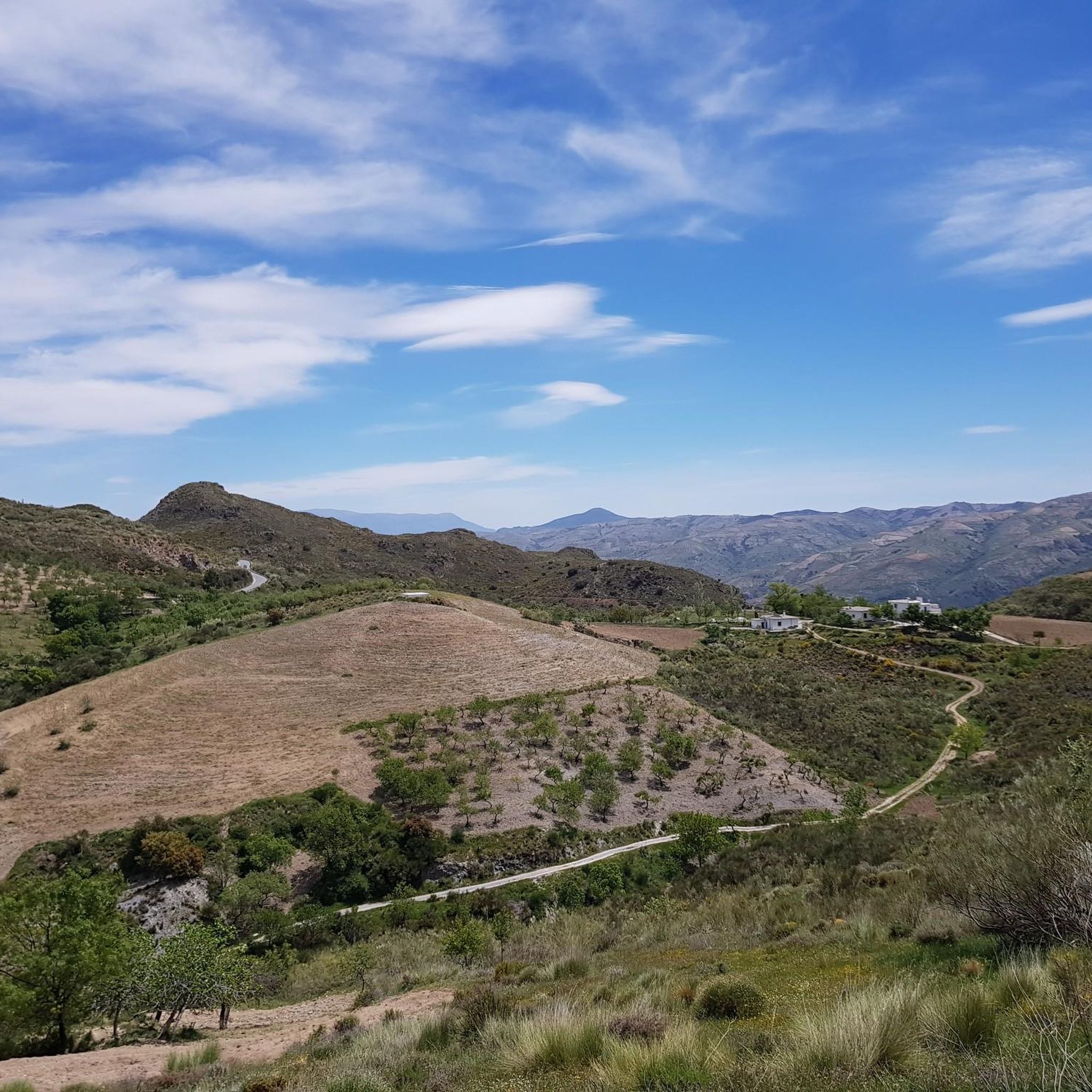
Best mountain peaks around Almegíjar are found within the Sierra Nevada Natural Park, a region known for its tranquil setting and picturesque mountain landscapes. Almegíjar is situated on the southern slopes of the Sierra Nevada, offering access to various natural features. Notable local mountain features include Cerro de la Corona, which provides panoramic views, and Cerro de la Solana, characterized by its sunny slopes and agricultural landscapes. The area offers diverse hiking trails that allow exploration of the region's ecosystems…
Last updated: July 4, 2026
Mecina Fondales
Highlight • Settlement
Translated by Google •
Tip by

Peñabón
Highlight • Summit
Tip by

Sign up now to discover places like this
Get recommendations on the best single tracks, peaks, & plenty of other exciting outdoor places.
Sign up for free
Alto del Chorrillo
Highlight • Summit
Translated by Google •
Tip by

Prado Llano Summit Marker
Highlight • Summit
Translated by Google •
Tip by

Antenas de Lújar
Highlight • Summit
Translated by Google •
Tip by

Start today with a free account
Your next adventure awaits.
Login or Signup
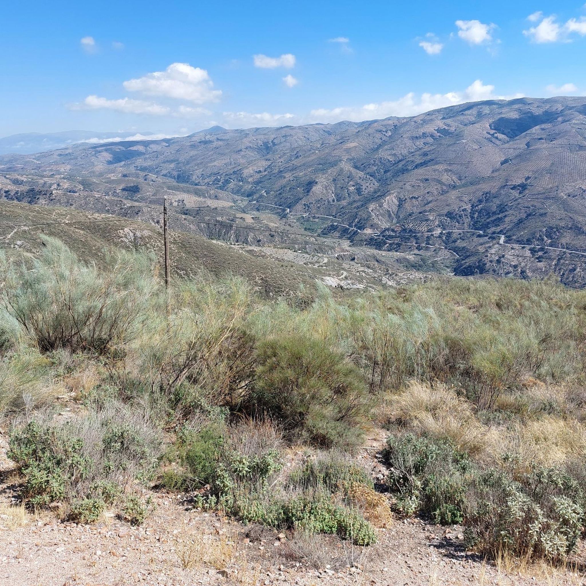
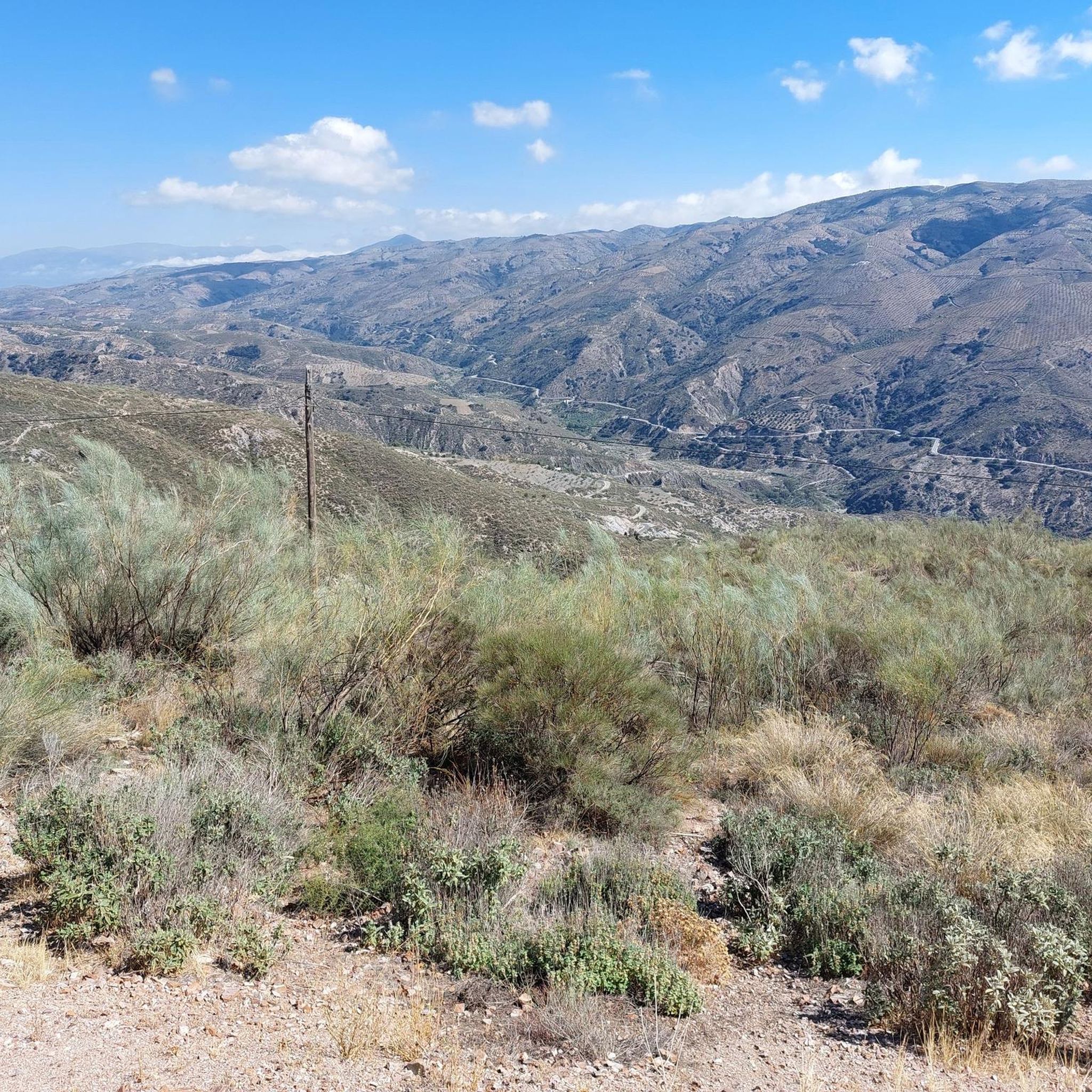
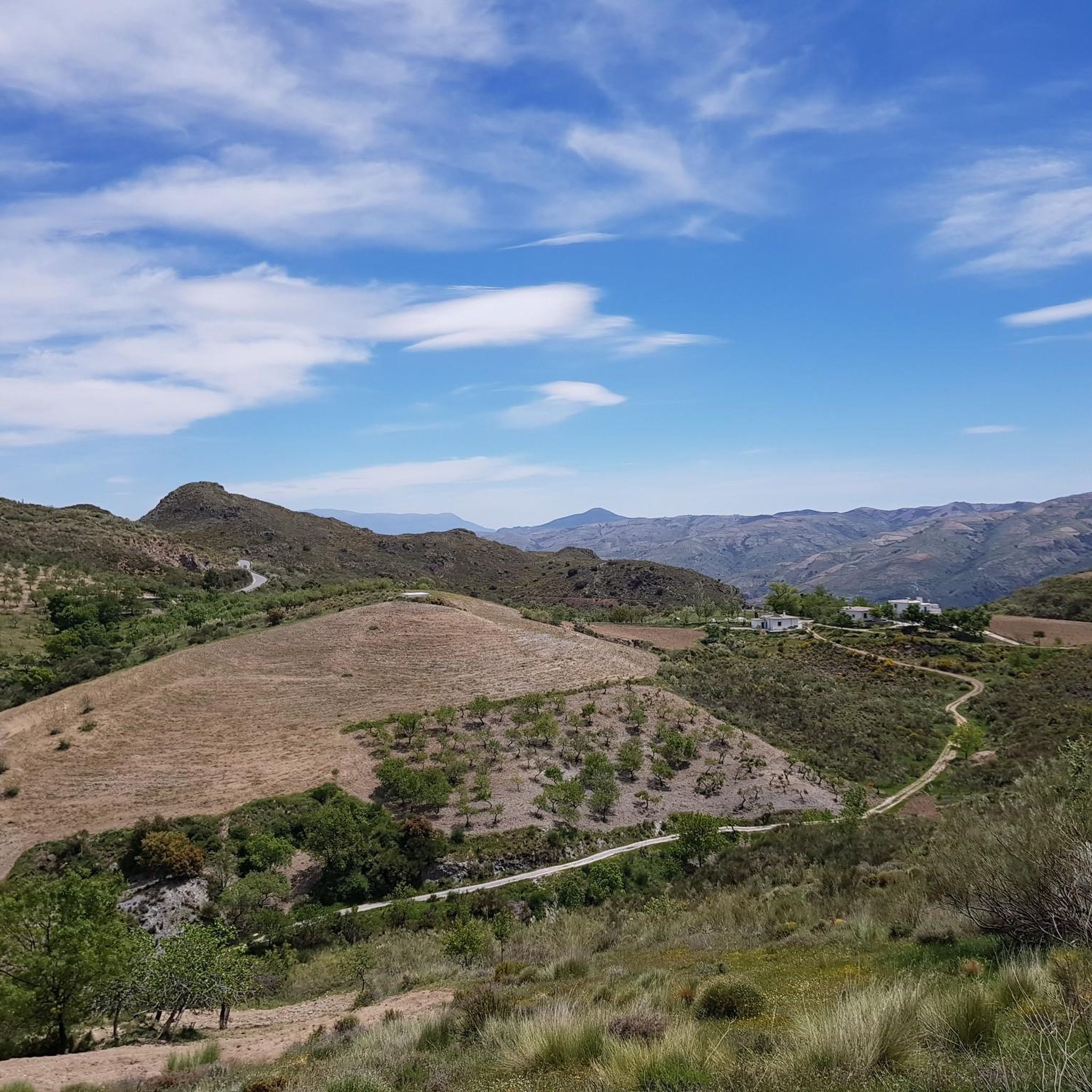
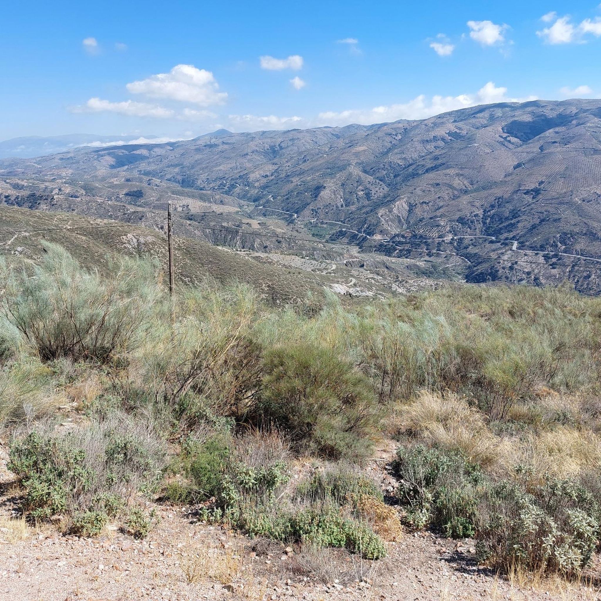

Tips from the Community

This hike is really tough: -very poorly signposted -inaccurate komoot navigation -long, constant ascent, 560 meters of altitude gain -during the ascent, you have to climb a section on scree, for me even on hands and knees -the descent goes for a long time over scree, loose slate, along a very narrow path next to the ravine -we took 8 hours for it..(got lost for a bit and had to turn back to find the right path again) -tip: look for the 'stone men', so you can still orient yourself now and then
0
0

No problem at all with the north way, really nice landscape; 1h30 in running
2
0


You can also get here by public bus from Capileira. Then hike to the summit and descend to Capileira on foot or take the bus back.
0
1


Although it is somewhat larger than neighboring Mecinilla and Fondales, Mecina is still a small village perfect for those seeking tranquility. The town hides several trails that take you to visit the rest of the towns in the La Taha region.
2
1

These are the antennas of the Sierra de Lujar Nevada in January
0
0
Frequently Asked Questions
What are some notable mountain features directly around Almegíjar?
Directly within or immediately adjacent to Almegíjar, you can explore Cerro de la Corona, a natural amphitheatre offering panoramic views of the village and surrounding area. Another significant feature is Cerro de la Solana, known for its sunny slopes and agricultural landscapes with almond groves and fruit trees.
Which mountain peaks near Almegíjar offer panoramic views?
Several peaks and viewpoints provide excellent vistas. Cerro de la Corona offers panoramic views of Almegíjar. Further afield, Peñabón provides commanding views, especially over Trevélez. Alto del Chorrillo is another scenic viewpoint, and the demanding climb to Antenas de Lújar rewards with 360° views of the Granada mountains and coast.
Are there any challenging mountain ascents near Almegíjar?
Yes, for those seeking a challenge, the ascent to Peñabón is considered a classic and demanding climb. Similarly, reaching the Antenas de Lújar involves a demanding climb on both sides of the path, suitable for experienced hikers or mountain bikers.
What kind of terrain can I expect on mountain trails around Almegíjar?
The terrain varies from the agricultural landscapes around Cerro de la Solana, characterized by almond groves and orchards, to more rugged mountain paths. Trails can range from moderate to difficult, with some ascents being quite demanding. You'll encounter diverse ecosystems typical of the Sierra Nevada Natural Park.
Are there family-friendly mountain experiences near Almegíjar?
While specific family-friendly mountain *peaks* are not explicitly detailed, the village of Mecina Fondales is noted as a settlement and summit that is family-friendly. Its tranquil setting and trails to neighboring towns could offer a gentler mountain experience suitable for families. Exploring the local hills like Cerro de la Corona also provides accessible views.
What outdoor activities can I do near the mountain peaks around Almegíjar?
Beyond hiking, the region offers various outdoor activities. You can find options for gravel biking and cycling. For example, there are challenging gravel biking routes like 'Las Chorreras Waterfall – Viewpoint Near Cáñar loop' and 'Bérchules – View of Narila and Cádiar loop'. Cycling routes include 'Tajo de Cortés — circular gravel route' and 'Trevélez village – View of the village of Pampaneira loop'. You can explore more options on the Gravel biking around Almegíjar and Cycling around Almegíjar guide pages.
Are there hiking trails near these mountain peaks?
Yes, there are numerous hiking trails in the surrounding areas of Almegíjar, catering to various fitness levels. Notable routes include sections of the 'Medieval Path of La Alpujarra' (PR-A 299), with both moderate and difficult segments. Other trails like 'Ferreirola – Fondales Village loop' and 'Atalbéitar Fountain – Trevélez River loop' offer moderate options. You can find more details on the Hiking around Almegíjar guide page.
What is the best time to visit the mountain peaks around Almegíjar?
The region's location within the Sierra Nevada Natural Park suggests that spring and autumn generally offer the most pleasant weather for hiking and exploring, with milder temperatures. While the guide doesn't specify exact seasons, avoiding the peak heat of summer and potential snow in winter at higher altitudes would be advisable for most visitors.
What do visitors enjoy most about the mountain peaks and area around Almegíjar?
Visitors appreciate the tranquility and picturesque mountain landscapes. The area's unique visual charm and rural heritage, particularly around Cerro de la Corona, are highlights. The opportunity to immerse oneself in the local agrarian lifestyle near Cerro de la Solana is also valued. The diverse hiking trails and the authentic charm of the Alpujarra are frequently mentioned as appealing aspects.
Can I access higher Sierra Nevada peaks like Mulhacén from the Almegíjar area?
While Almegíjar itself doesn't host the highest peaks, it's part of the broader Sierra Nevada Natural Park. Alto del Chorrillo serves as a common starting point for those ascending Mulhacén. Access to this point is typically via shuttle bus from towns like Capileira, which is a short distance from Almegíjar.
Are there any specific cultural or historical sites associated with the mountain peaks?
The region around Almegíjar is rich in rural heritage. While not directly on a peak, the traditional Alpujarran architecture of Almegíjar village, visible from Cerro de la Corona, offers a cultural experience. The 'Medieval Path of La Alpujarra' hiking routes also suggest historical significance in the area's trails and settlements.
Most popular routes around Almegíjar
Most popular attractions around Almegíjar

Get inspired with the komoot mobile app


Explore more
See even more amazing summits around Almegíjar with these guides:
