Comunidad de San Vicente del Valle y Villagalijo
Comunidad de San Vicente del Valle y Villagalijo
The 5 Most Amazing Peaks around Comunidad de San Vicente del Valle y Villagalijo
Best mountain peaks around Comunidad de San Vicente del Valle y Villagalijo offers access to a diverse mountainous landscape in the province of Burgos, Spain. The region is primarily characterized by the Sierra de la Demanda to its north and the Montes de Ayago to its south. This area provides opportunities for outdoor enthusiasts, with notable peaks offering expansive views and rich natural environments. It is an excellent base for exploring captivating mountain landscapes.
Best mountain peaks around Comunidad de…
Last updated: July 4, 2026
Cruz De Guirnaldo
Highlight • Summit
Translated by Google •
Tip by

Alto Micobaña
Highlight • Summit
Translated by Google •
Tip by
Sign up now to discover places like this
Get recommendations on the best single tracks, peaks, & plenty of other exciting outdoor places.
Sign up for free
Majada De Los Ciervos
Highlight • Summit
Translated by Google •
Tip by
View of San Lorenzo from Masoga
Highlight • Viewpoint
Translated by Google •
Tip by

Summit of La Picota (El Hermoso)
Highlight • Summit
Translated by Google •
Tip by

Start today with a free account
Your next adventure awaits.
Login or Signup
Popular around Comunidad de San Vicente del Valle y Villagalijo
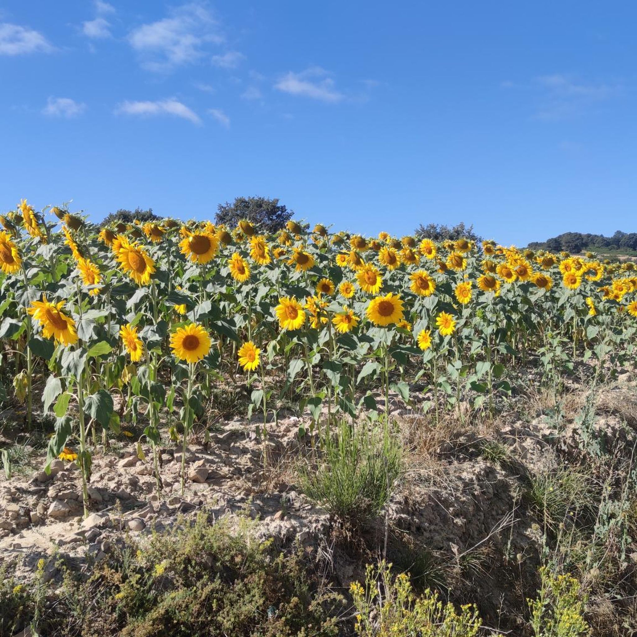
Hiking around Comunidad de San Vicente del Valle y Villagalijo
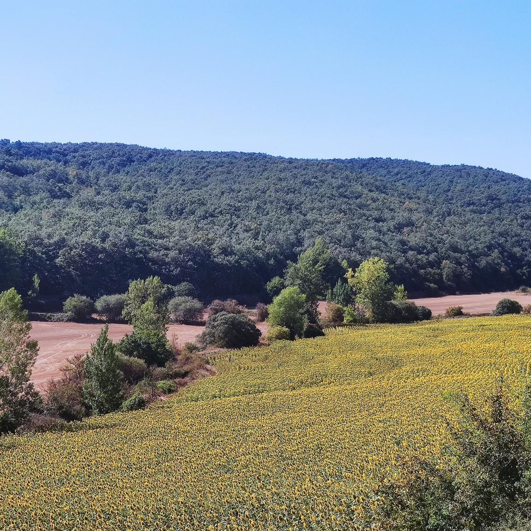
Road Cycling Routes around Comunidad de San Vicente del Valle y Villagalijo
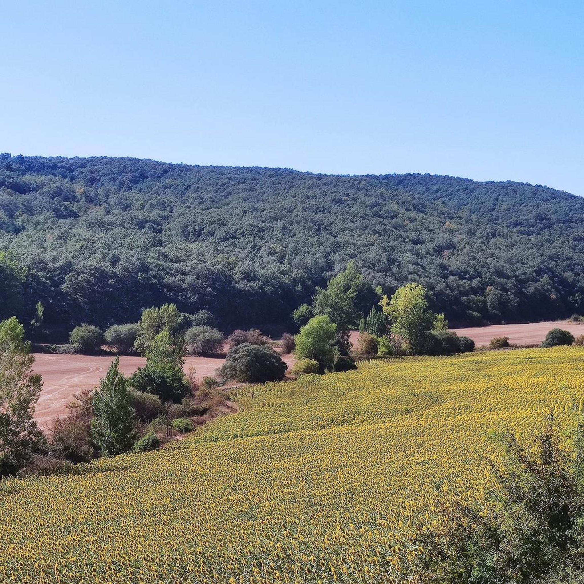
MTB Trails around Comunidad de San Vicente del Valle y Villagalijo
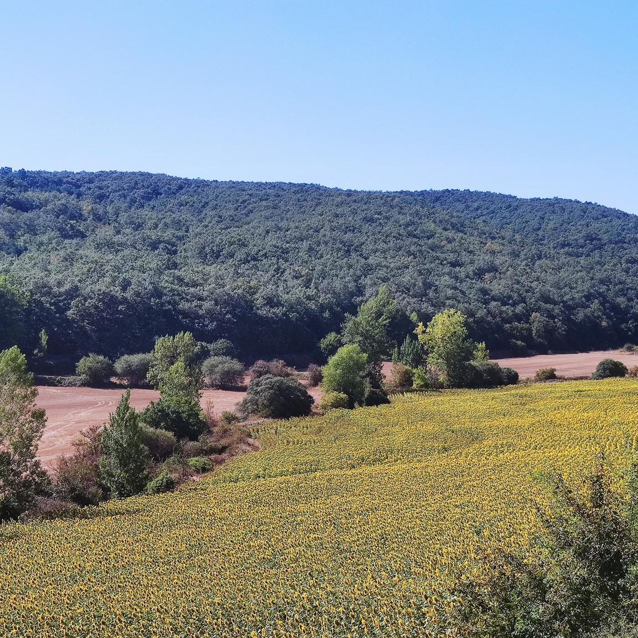
Cycling around Comunidad de San Vicente del Valle y Villagalijo
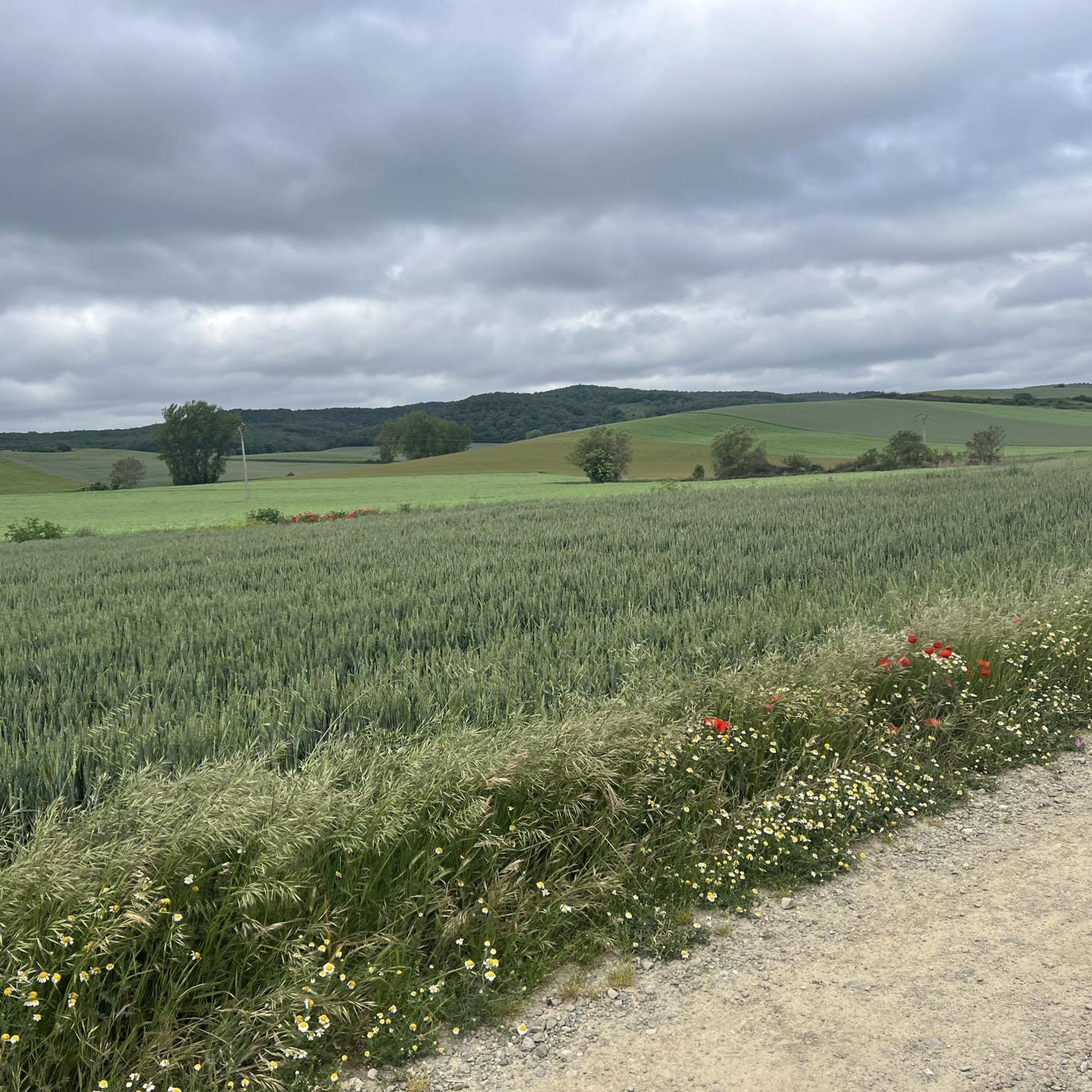
Running Trails around Comunidad de San Vicente del Valle y Villagalijo
Tips from the Community

Nice area for hiking and mountain biking trails in La Demanda
0
0

The top of La Picota (also called El Hermoso) offers views of the peaks of the Sierra de La Demanda and the plain that extends to the province of Burgos.
2
0

Small intermediate peak between Alto de Micobaña and El Hombre. As a mark, just a small pile of stones, without a mailbox.
3
0
Several crossroads, several mailboxes, crossroads of tracks... and more than 1400 meters high.
5
0
Interesting summit with good views. The height of the monolith that symbolizes the top is curious.
6
0
Interesting place, confluence of several tracks. It also has several crosses and mailboxes, and is just over 1,400 meters long.
4
0
Good views and nice fall colors
5
0
Good views as a reward for a long climb up the slopes.
5
0
Frequently Asked Questions
What are some of the most notable mountain peaks to explore in the Comunidad de San Vicente del Valle y Villagalijo region?
The region offers a diverse range of peaks. The highest point in Burgos, Pico San Millán (2,131 m), is a prominent feature in the Sierra de la Demanda. Its neighbor, Pico Trigaza (2,085 m), is the second-highest. For more accessible options, consider Cruz De Guirnaldo, a popular summit just over 1,400 meters high, or Majada De Los Ciervos, known for its good views.
Are there any easy or beginner-friendly mountain peaks to hike in the area?
While some peaks offer challenging ascents, the region also has more moderate options. Alto de Pradilla (1,244 m) is known for its scenic roads and moderate gradients, making it popular for cycling and hiking. Within the guide's highlights, Alto Micobaña is described as a small intermediate peak, which might offer a less strenuous experience.
What kind of natural features can I expect to see when visiting the mountain peaks here?
You'll encounter a rich natural environment. Peaks like Pico San Millán display glacial morphology on its north slope. The area around Alto de Pradilla boasts beech, oak, and pine forests, including one of Europe's most important holly groves. Many summits, such as Majada De Los Ciervos and Cruz De Guirnaldo, are also classified as natural monuments.
Where can I find panoramic viewpoints among the mountain peaks?
Many peaks offer expansive views. Pico San Millán provides panoramic views of other mountain ranges like Sierras de Neila, Cebollera, and Mencilla. Pico Trigaza also offers impressive 360-degree views, including the Cantabrian range. Additionally, View of San Lorenzo from Masoga is a dedicated viewpoint highlight, offering beautiful vistas of Sant Lorenzo.
What outdoor activities are available near these mountain peaks?
The region is excellent for various outdoor activities. You can find numerous routes for mountain biking, cycling, and running. For example, there are MTB Trails, Cycling routes, and Running Trails around the Comunidad de San Vicente del Valle y Villagalijo, catering to different difficulty levels.
Are there specific hiking trails to reach the major peaks like Pico San Millán?
Yes, there are several routes to the summits. For Pico San Millán, popular starting points include Santa Cruz del Valle Urbión, Pineda de la Sierra, and the Manquillo mountain pass. The ascent from Santa Cruz del Valle Urbión is approximately 17 kilometers round trip with a 1,300-meter elevation gain, passing through lush forests. Pico Trigaza can be ascended from Alarcia or Pineda de la Sierra.
What is the best time of year to visit the mountain peaks in this region?
The region offers rewarding experiences throughout the year, but the best time for hiking and outdoor activities generally depends on the specific peak and desired conditions. Spring and autumn often provide pleasant temperatures and vibrant scenery, while summer is ideal for higher altitudes. Winter can offer challenging but beautiful snow-covered landscapes, especially on the highest peaks like Pico San Millán and Pico Trigaza.
What do visitors particularly enjoy about the mountain peaks around Comunidad de San Vicente del Valle y Villagalijo?
Visitors appreciate the diverse mountainous landscape, the expansive panoramic views from summits, and the rich natural environments. The unique glacial morphology on peaks like Pico San Millán and the interesting features like the monolith at Majada De Los Ciervos are often highlighted. The area is also praised for its well-maintained roads and attractive scenery, making it a pleasant destination for outdoor enthusiasts.
Are there any family-friendly hiking options among the mountain peaks?
While specific family-friendly routes to individual peaks are not detailed, the Montes de Ayago range, with its numerous valleys and diverse terrain, offers potential for discovering serene natural spots suitable for family exploration. For cycling, Alto de Pradilla features moderate gradients and beautiful scenery, which can be enjoyable for families with some cycling experience.
Can I bring my dog on the trails around the mountain peaks?
The region's natural environment, with its forests and open spaces, generally welcomes dogs on trails. However, it's always recommended to check local regulations or specific trail rules before heading out, especially in protected areas like the Special Protection Area (ZEPA) for birdlife around Pico San Millán, to ensure responsible pet ownership.
What are the Montes de Ayago and what do they offer?
The Montes de Ayago is a mountain range located south of the Tirón River, featuring several peaks over 1,000 meters, including Cerro Lombo (1,345 m), Las Palomeras (1,333 m), and Santa Brígida (1,318 m). It's characterized by numerous valleys, ravines, and rivers. While less documented for specific hiking routes directly from San Vicente del Valle, it offers diverse terrain for exploration and enjoying local flora and fauna.
Are there any historical or cultural points of interest near the mountain peaks?
While the primary focus is on natural beauty, some areas have historical context. For instance, Pico Trigaza has an old fire observation post at its summit, utilizing its extensive views. Additionally, the View of San Lorenzo from Masoga is near the site of an old village, though no remains are visible today.
Most popular routes around Comunidad de San Vicente del Valle y Villagalijo
Most popular attractions around Comunidad de San Vicente del Valle y Villagalijo

Get inspired with the komoot mobile app


Explore more
See even more amazing summits around Comunidad de San Vicente del Valle y Villagalijo with these guides:
