Comunidad de San Vicente del Valle y Villagalijo
Comunidad de San Vicente del Valle y Villagalijo
The best running trails around Comunidad de San Vicente del Valle y Villagalijo
5.0
(1)
142
runners
19
runs
Jogging around Comunidad de San Vicente del Valle y Villagalijo offers diverse terrain within the province of Burgos, Castile and León. The region is characterized by its position north of the Sierra de la Demanda, featuring extensive oak and beech forests, and to the south of the Montes de Ayago. Routes often follow the headwaters of the Tirón River, providing flatter paths, and traverse varied forest types including pine, beech, and oak groves. The Sierra de la Demanda Greenway Nature…
Last updated: July 12, 2026
5.0
(1)
24
runners
31.8km
05:13
1,780m
1,780m
Hard run. Very good fitness required. Sure-footedness, sturdy shoes and alpine experience required.
24
runners
24.6km
03:24
960m
960m
Hard run. Very good fitness required. Mostly paved surfaces. Suitable for all skill levels.

Sign up for free
16
runners
36.2km
05:32
1,740m
1,740m
Hard run. Very good fitness required. Sure-footedness, sturdy shoes and alpine experience required.
8
runners
12.3km
01:39
500m
500m
Hard run. Very good fitness required. Mostly paved surfaces. Suitable for all skill levels.
7
runners
6.20km
00:40
40m
40m
Moderate run. Good fitness required. Mostly paved surfaces. Suitable for all skill levels.
Get access to more routes and recommendations from other explorers.
Sign up for free
Already have an account?
Our route recommendations are based on thousands of hikes, rides, and runs completed by other people on komoot.
Start today with a free account
Your next adventure awaits.
Login or Signup
Popular around Comunidad de San Vicente del Valle y Villagalijo
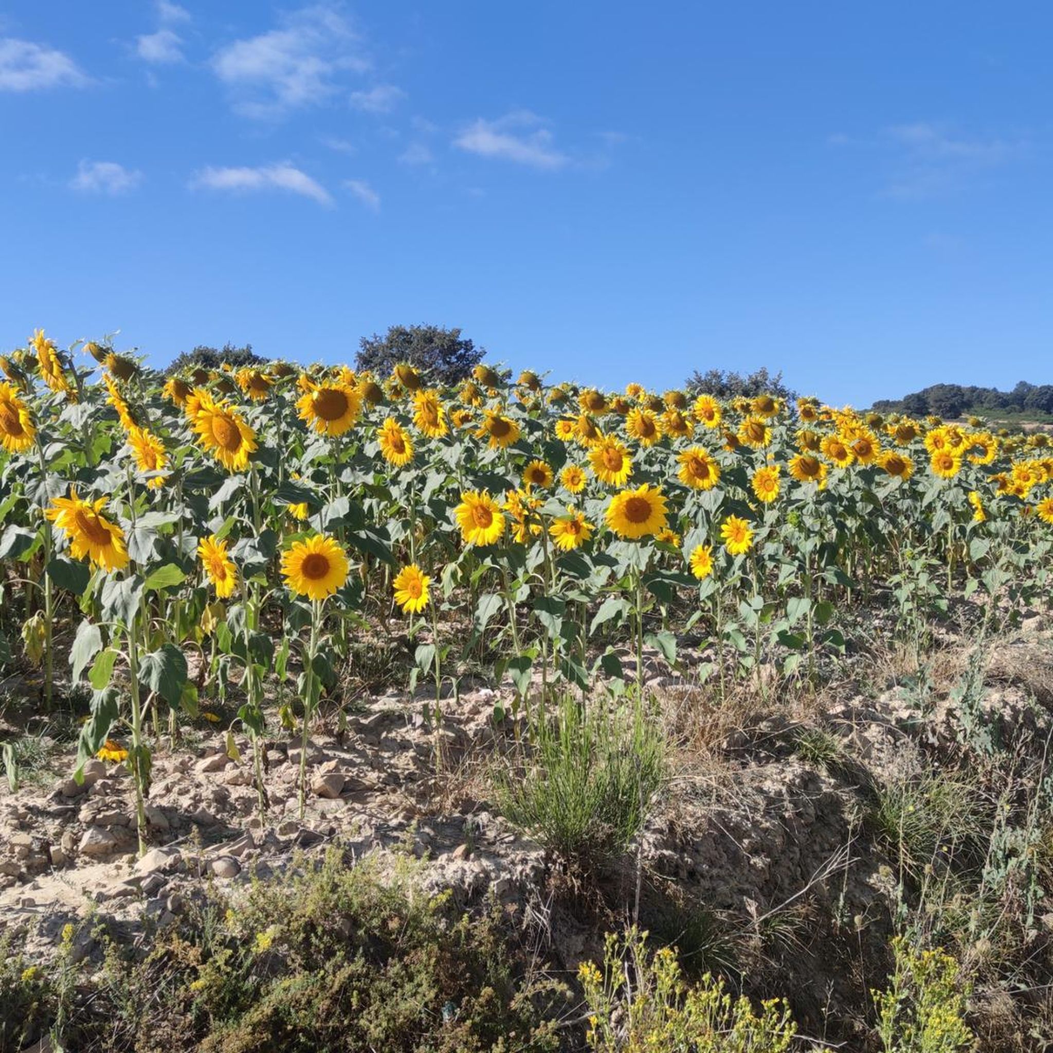
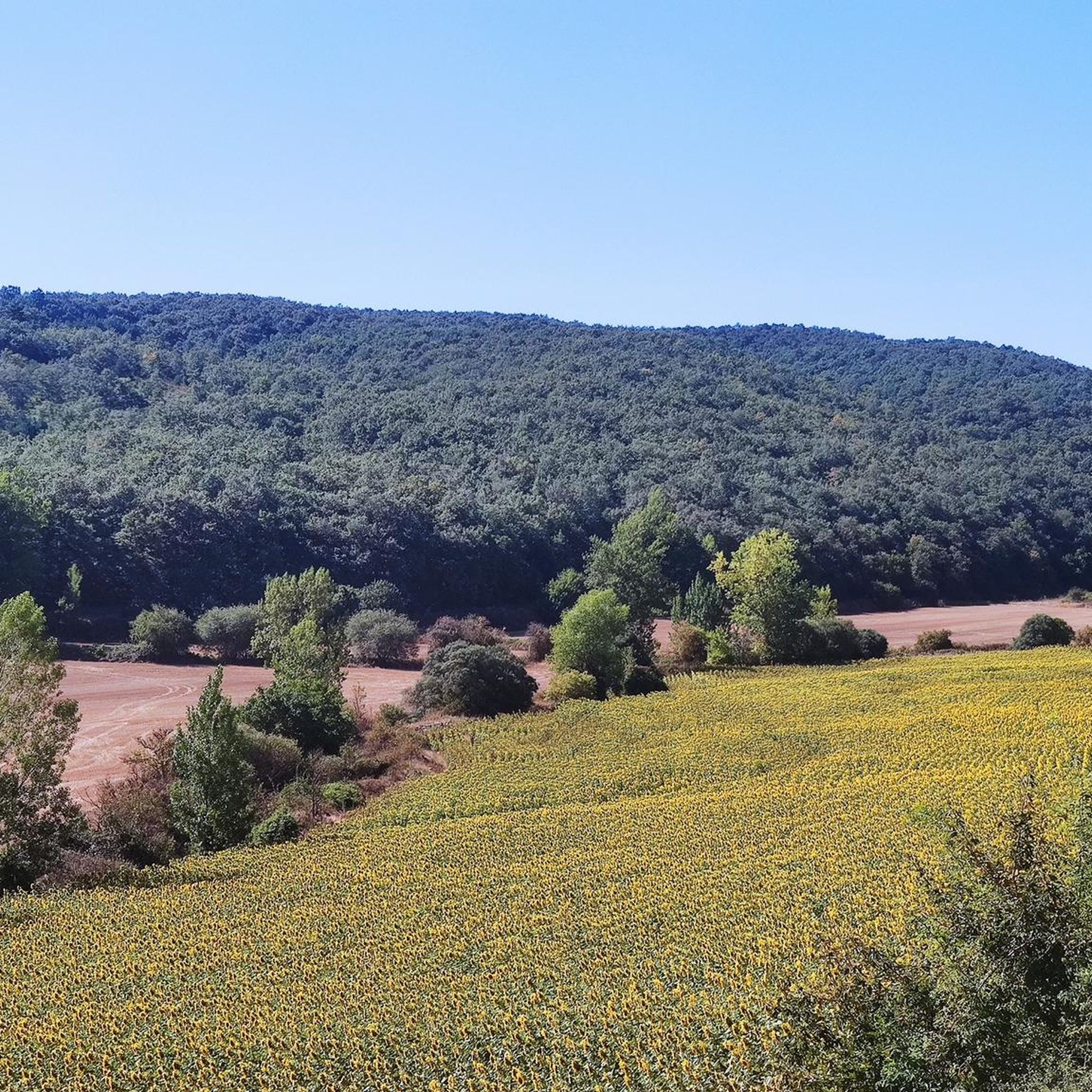
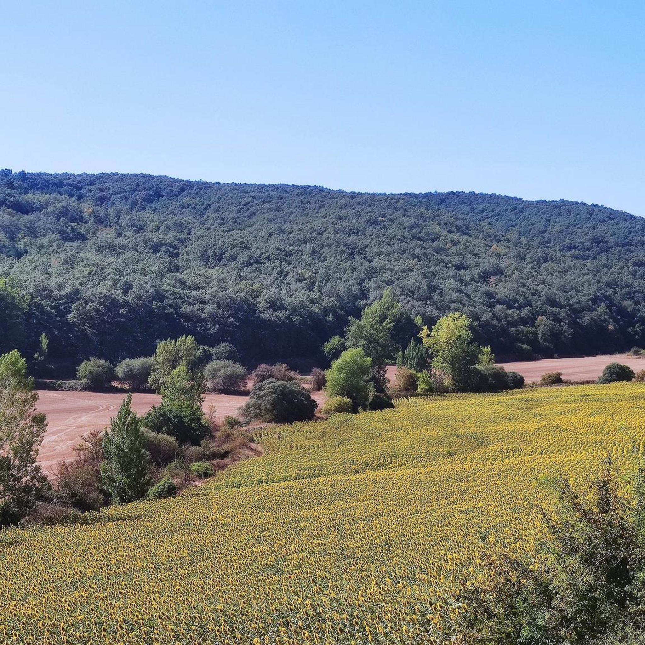
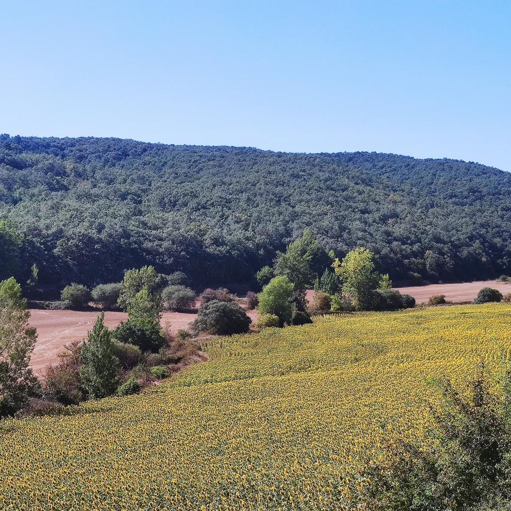
Tips from the Community

a highly recommended area for hiking.
0
0
a highly recommended area for hiking.
0
0
a highly recommended area for hiking.
0
1
Nice area for hiking and mountain biking trails in La Demanda
0
0
Nice area for hiking and mountain biking trails
0
0

Beautiful little town - as the name suggests. With great hostels and a large Plaza Mayor, where you can find many restaurants. The town is impressive because of the many paintings on the houses, but this is another highlight. Because these paintings cannot be found on the Plaza Mayor.
4
1

The Alto de la Garrula is a halfway point from where the Sendero de las Cascadas leaves and where you can take the direction towards the highest mountains of the Sierra de la Demanda, as is the case with Pico Millán.
0
0
It is one of the waterfalls that are found in this valley and that are part of the Arroyo del Allúzarra, in the upper part of it. The waters come from the high mountains that are flanking the mountains above.
0
0
Frequently Asked Questions
How many running routes are available in Comunidad de San Vicente del Valle y Villagalijo?
Komoot features over 10 running routes in Comunidad de San Vicente del Valle y Villagalijo. These routes offer a variety of experiences, from moderate paths to more challenging trails through the region's diverse landscapes.
What kind of terrain can I expect on the jogging routes in this region?
The region offers a rich variety of terrain for runners. You'll find paths through extensive oak and beech forests, especially north of the Sierra de la Demanda, and varied forest types including pine and oak groves. Many routes also follow the headwaters of the Tirón River, providing flatter sections. The Sierra de la Demanda Greenway Nature Trail, an old mining railway, offers relatively flat and even surfaces, while other trails can include mountainous sections with significant elevation changes.
Are there any easy or moderate running routes for beginners or those looking for a less strenuous run?
Yes, while the region is known for its challenging trails, there are several moderate options available. For example, the Running loop from Belorado is a moderate 5.4 km route, and the Plaza Mayor de Belorado – Picnic area in Belorado loop from Belorado is another moderate 6.2 km option, both suitable for a less strenuous run.
What do other runners enjoy most about jogging in Comunidad de San Vicente del Valle y Villagalijo?
The area is highly rated by the komoot community, with an average score of 5.0 stars. Runners often praise the diverse terrain, the beauty of the forested landscapes, and the opportunities for challenging runs. Over 120 runners have used komoot to explore the varied trails here, highlighting its appeal for outdoor enthusiasts.
Are there any circular running routes in the area?
Yes, many of the running routes in Comunidad de San Vicente del Valle y Villagalijo are designed as loops, offering a convenient way to start and finish in the same location. Examples include the challenging Pradoluengo Village – La Pasada Shelter loop from Pradoluengo and the San Millán loop from Pradoluengo, both providing extensive tours through the region's woodlands.
Can I find challenging routes for long-distance or experienced runners?
Absolutely. The region is well-suited for experienced runners seeking a challenge. Routes like the Pradoluengo Village – La Pasada Shelter loop from Pradoluengo (31.8 km with significant elevation) and the San Millán loop from Pradoluengo (36.1 km through dense woodlands and mountainous areas) offer demanding runs with considerable elevation changes.
Are there any notable landmarks or attractions to see along the running routes?
While running, you might encounter several points of interest. For instance, the Cruz De Guirnaldo is a summit that can be part of a route, and the Alto de Pradilla is a mountain pass offering scenic views. You could also pass through settlements like Belorado, which features its Plaza Mayor.
Are the running trails in Comunidad de San Vicente del Valle y Villagalijo suitable for families?
The region offers a mix of trail difficulties. While some routes are quite challenging, the flatter sections along the Tirón River or parts of the Sierra de la Demanda Greenway Nature Trail could be suitable for families looking for an easier jog or walk. It's advisable to check the specific route's distance and elevation profile on komoot to ensure it matches your family's fitness level.
Are dogs allowed on the running routes?
Generally, dogs are welcome on many trails in natural areas like Comunidad de San Vicente del Valle y Villagalijo, especially if kept on a leash. Given the region's extensive forests and natural landscapes, it's a great place to run with your canine companion. However, always be mindful of local regulations, especially in protected areas or near livestock.
What is the best time of year to go running in Comunidad de San Vicente del Valle y Villagalijo?
The region's diverse forests, including oak and beech, provide shaded paths, making it pleasant for running even during warmer months. Spring and autumn offer mild temperatures and beautiful scenery with changing foliage. While winter running is possible, be prepared for colder conditions and potential snow at higher elevations in the Sierra de la Demanda.
Are there routes that offer views of the Sierra de la Demanda?
Yes, as the region is situated north of the Sierra de la Demanda, many routes provide stunning views of this mountain range. Trails often traverse its forested slopes, offering panoramic vistas and immersing runners in its natural beauty. The varied terrain typical of the Sierra de la Demanda is a defining feature of many local running paths.
Can I find running routes that follow rivers or offer water features?
Yes, the municipality lies in the valley of the headwaters of the Tirón River. This means you can find routes that follow the river, potentially offering flatter paths and the soothing sounds of flowing water, providing a different kind of scenic experience compared to the mountain trails.
Most popular routes around Comunidad de San Vicente del Valle y Villagalijo
Most popular attractions around Comunidad de San Vicente del Valle y Villagalijo

Get inspired with the komoot mobile app


Explore more
Browse the best Running Trails & Routes in other regions.
