The 4 Most Amazing Peaks around Foughill Etra
Best mountain peaks around Foughill Etra are situated within the scenic Ring of Gullion Area of Outstanding Natural Beauty in County Armagh, Ireland. This region is characterized by its rolling hills, valleys, and forests, offering opportunities for outdoor activities. The area features notable peaks that provide natural beauty, historical intrigue, and panoramic views. These natural features and historical sites around Foughill Etra offer a diverse range of attractions for visitors.
Best mountain peaks around Foughill Etra
- The most popular mountain…
Last updated: July 2, 2026
Slieve Gullion Summit
Highlight • Volcano
Translated by Google •
Tip by

North Cairn of Slieve Gullion and Calliagh Beara's Lough
Highlight • Summit
Translated by Google •
Tip by
Sign up now to discover places like this
Get recommendations on the best single tracks, peaks, & plenty of other exciting outdoor places.
Sign up for free
Clermont Carn Summit and Transmission Site
Highlight • Summit
Tip by

Black Mountain North Side
Highlight (Segment) • Climb
This climb is very steep for the first 0.7km and then levels off, with a kick at the end. Ascend to approximately 560m and …
Tip by

Carnavaddy Summit
Highlight • Summit
It can be …
Tip by

Start today with a free account
Your next adventure awaits.
Login or Signup

Tips from the Community

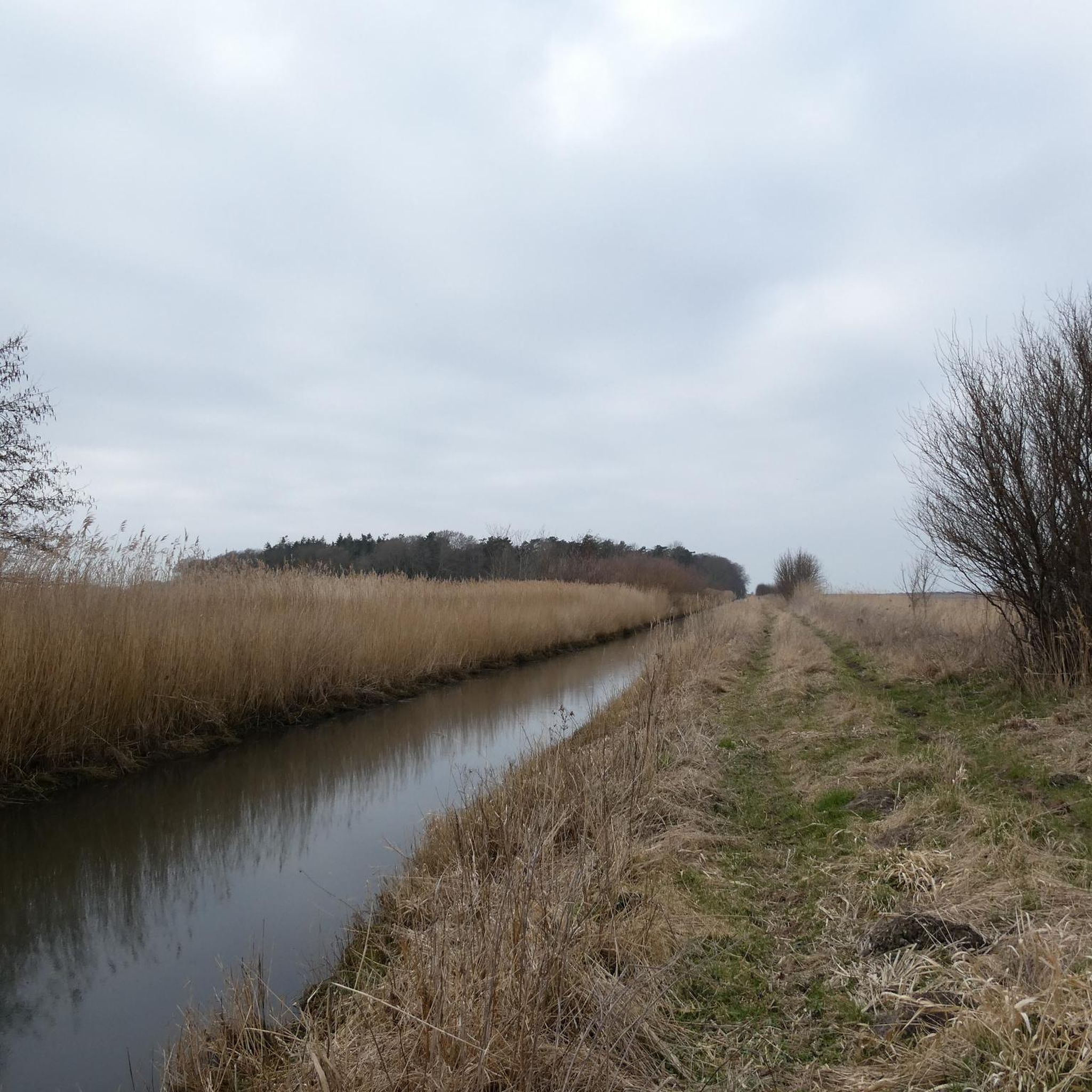
Carnavaddy isn't quite an official mountain at 475 m (1,558 ft), but it's a prominent mountain and commands great views down the peninsula and out to sea. It can be walked from either side and is often combined with Clermont Carn to the north to make an excellent mountain day.
0
0

As soon as you cross the gentle ridge of Slieve Gullion, the North Cairn stretches out before you - a slightly smaller hill than its southern neighbour, but no less impressive. The stones that gather here seem like silent sentinels, witnesses of the distant Bronze Age. Two ancient stone boxes were once found here during excavations, which lay hidden in the depths of history. The North Cairn, with its diameter of around 18 metres, invites you to pause for a moment and enjoy the peace. But it is not just the Cairn that is fascinating. Right next to it lies "Calliagh Beara's Lough", a quiet mountain lake that, according to legend, is the home of the witch Beara. On a clear day, the sky is reflected in the calm waters and you can almost feel the ancient magic of this place coming to life. The road here may be rocky, but the landscape rewards with sweeping views and a touch of mysticism that makes Slieve Gullion something special.
1
0


At the highest point of the Black Mountain you are greeted by spectacular views of the surrounding landscape and the Irish Sea.
3
1

At the heart of the Ring of Gullion AONB, you'll find this beautiful mountain, which represents the highest point in the county with an elevation of 573 meters (1,880 ft). Right next to it there is a burial cairn.
1
0
Slieve Gullion, whose name sounds as poetic in English as "Sliabh gCuillinn" in Irish, rises majestically in the "Ó Fiaich Country" in the south of County Armagh in Northern Ireland. At 573 meters high, it not only hides a geological wonder in the form of an extinct volcano, but also the highest Passage Tomb in the British Isles. This passage tomb is particularly mysterious because its entrance is aligned exactly towards the point where the sun sets on the winter solstice. The best place to start your hike is from the Slieve Gullion viewing platform, where there is not only plenty of parking, but also space to stay overnight in a motorhome. From there a clearly marked path, demarcated by a staircase of large rocks, leads to the South Cairn. The transition between the South Cairn and the North Cairn is soft and wet, making the path a true nature experience. However, it should be noted that the descent from the North Cairn back to the viewing platform is rather steep and not always clear. From the summit, hikers are treated to a breathtaking panorama. The view sweeps over the landscape all around and you quickly understand why this area has been classified as an "Area of Outstanding Natural Beauty". The "Slieve Gullion Forest Park" landscape protection area extends over large heath areas on the sunlit mountain slopes. For those who want to experience the full spectrum of this stunning area, there is the 57km long waymarked Ring of Gullion Way. A 13 km long section of this circular hiking trail, the “Slieve Gullion Walk”, leads from the car park at Meigh directly to the summit and back again.
2
0

Wikipedia (Clermont Carn (Irish: Carnán Mhaighréid Náir), 2022-11-03): https://en.m.wikipedia.org/wiki/Clermont_Carn Wikipedia (Clermont Carn transmission site, 2022-11-03): https://en.m.wikipedia.org/wiki/Clermont_Carn_transmission_site Wikipedia (Cooley Mountains, 2022-11-03): https://en.m.wikipedia.org/wiki/Cooley_Mountains MountainViews.ie (Clermont Carn, 2022-11-03): https://mountainviews.ie/summit/434/ - Viewpoint (Carlingford Lough, Dundalk, …) - Transmission site (2RN (RTÉ Networks), Saorview, …) - Neolithic burial cairn
2
2
The climb up the north side of Black Mountain challenges you right from the start - the first half kilometre feels like a wall before it levels out a bit. But don't be fooled, there's a final kick just before the summit that will make your legs feel what they've done. Once at the top, you'll be rewarded with impressive views of the surrounding countryside that will make you feel like you're standing on top of the world. The route itself runs right along the border between Ireland and Northern Ireland, which creates a special atmosphere. Keep warm in changing weather and be prepared for sudden showers - the wind can pick up quickly up here. The descent requires some caution, as some parts are steep and the tarmac isn't always perfect. But that's what makes it so appealing - an adventure worth it and an experience to remember.
1
2
Frequently Asked Questions
What are the most prominent mountain peaks to visit around Foughill Etra?
The most prominent peak is Slieve Gullion Summit, an extinct volcano and the highest point in County Armagh, offering extensive panoramic views. Other notable peaks include Clermont Carn Summit, known for its views of the Irish Sea, and Carnavaddy Summit, which provides great views down the peninsula.
Are there any historical or archaeological sites on the mountain peaks?
Yes, Slieve Gullion Summit hosts the highest Passage Tomb in the British Isles, oriented towards the winter solstice sunset. Additionally, the North Cairn of Slieve Gullion is a Bronze Age cairn where stone boxes were found during excavations. Clermont Carn Summit also features a Neolithic burial cairn.
What kind of views can I expect from the mountain peaks in the Foughill Etra area?
From Slieve Gullion Summit, you'll experience fantastic panoramic views all around the Ring of Gullion. Clermont Carn Summit offers spectacular views of the surrounding landscape and the Irish Sea. Carnavaddy Summit provides great views down the peninsula and out to sea.
What outdoor activities can I do near these mountain peaks?
The region around Foughill Etra, particularly within the Ring of Gullion, offers excellent opportunities for hiking, running, and road cycling. You can find various routes, including the 'Slieve Gullion loop' for hiking, 'Ravensdale Forest loop' for running, and scenic road cycling routes like 'Warrenpoint, Rostrevor and Mayobridge loop'. For more details, explore the hiking, running, and road cycling guides for the area.
Are there any family-friendly mountain walks or activities in the area?
While some mountain ascents can be challenging, the broader Ring of Gullion area offers options like the 'Giant's Lair Trail' which is an easy hiking route. The Slieve Gullion Forest Park, located on the slopes of Slieve Gullion, is known for family activities and is a popular spot for visitors.
What is the difficulty level for climbing the mountain peaks around Foughill Etra?
Many of the peaks, such as Slieve Gullion Summit, North Cairn of Slieve Gullion, Clermont Carn Summit, and Carnavaddy Summit, are generally considered intermediate. However, the Black Mountain North Side is described as a challenging climb with a very steep initial section.
When is the best time to visit the mountain peaks around Foughill Etra?
The best time to visit for hiking and outdoor activities is typically during the warmer, drier months to enjoy the panoramic views and avoid challenging winter conditions. However, the historical significance of sites like the Passage Tomb on Slieve Gullion, which aligns with the winter solstice sunset, might attract visitors during specific times of the year for cultural reasons.
Are there dog-friendly trails on the mountain peaks near Foughill Etra?
While specific dog policies for individual mountain trails can vary, the Ring of Gullion AONB generally welcomes responsible dog owners. It's always advisable to check local signage or the Slieve Gullion Forest Park's specific dog policy before your visit to ensure a pleasant experience for everyone.
Where can I find parking for mountain trails near Foughill Etra?
For Slieve Gullion Summit, ample parking is available at the Slieve Gullion Viewing Platform, which serves as a common starting point for the ascent. Parking facilities are typically provided at popular trailheads within the Ring of Gullion area.
What natural features, besides the peaks themselves, can I explore?
Beyond the summits, you can explore Calliagh Beara's Lough, a tranquil mountain lake adjacent to the North Cairn of Slieve Gullion, steeped in local legend. The entire Ring of Gullion Area of Outstanding Natural Beauty is characterized by rolling hills, valleys, and forests, offering diverse natural landscapes.
How long do mountain hikes typically take around Foughill Etra?
Hike durations vary depending on the route and your fitness level. For example, the 'Slieve Gullion loop' is a moderate hike that covers approximately 13.6 km. Other routes, like the 'Giant's Lair Trail', are shorter and easier, around 4.1 km. It's best to check individual route details for estimated times.
Most popular attractions around Foughill Etra

Get inspired with the komoot mobile app


Explore more
See even more amazing summits around Foughill Etra with these guides:
