The 5 Most Amazing Peaks around Sint-Katelijne-Waver
Best mountain peaks around Sint-Katelijne-Waver are characterized by elevated points and witness hills rather than traditional mountains. The region's topography is generally flat, with an average altitude of around 6 meters above sea level. However, several notable spots offer panoramic views and serve as local high points. These areas provide opportunities for exploring nature reserves and hiking trails around Sint-Katelijne-Waver.
Best mountain peaks around Sint-Katelijne-Waver
- The most popular mountain peaks is Beerzelberg, a summit that represents the highest natural…
Last updated: October 3, 2026
Highest point of Rivierenland
Highlight (Segment) • Viewpoint
Translated by Google •
Tip by

Beerzelberg
Highlight • Summit
Translated by Google •
Tip by

Sign up now to discover places like this
Get recommendations on the best single tracks, peaks, & plenty of other exciting outdoor places.
Information board Beerzelberg The roof of the province of Antwerp
Highlight • Rest Area
Translated by Google •
Tip by
Hoogstraat
Highlight (Segment) • Viewpoint
In the 1950s, hamlets disappeared for clay extraction and the Hoogstraat ended in nothing.
There is now an …
Translated by Google •
Tip by
Highest point of the Province of Antwerp – Beerzelberg 51.6 m
Highlight • Summit
Translated by Google •
Tip by
Start today with a free account
Your next adventure awaits.

Tips from the Community

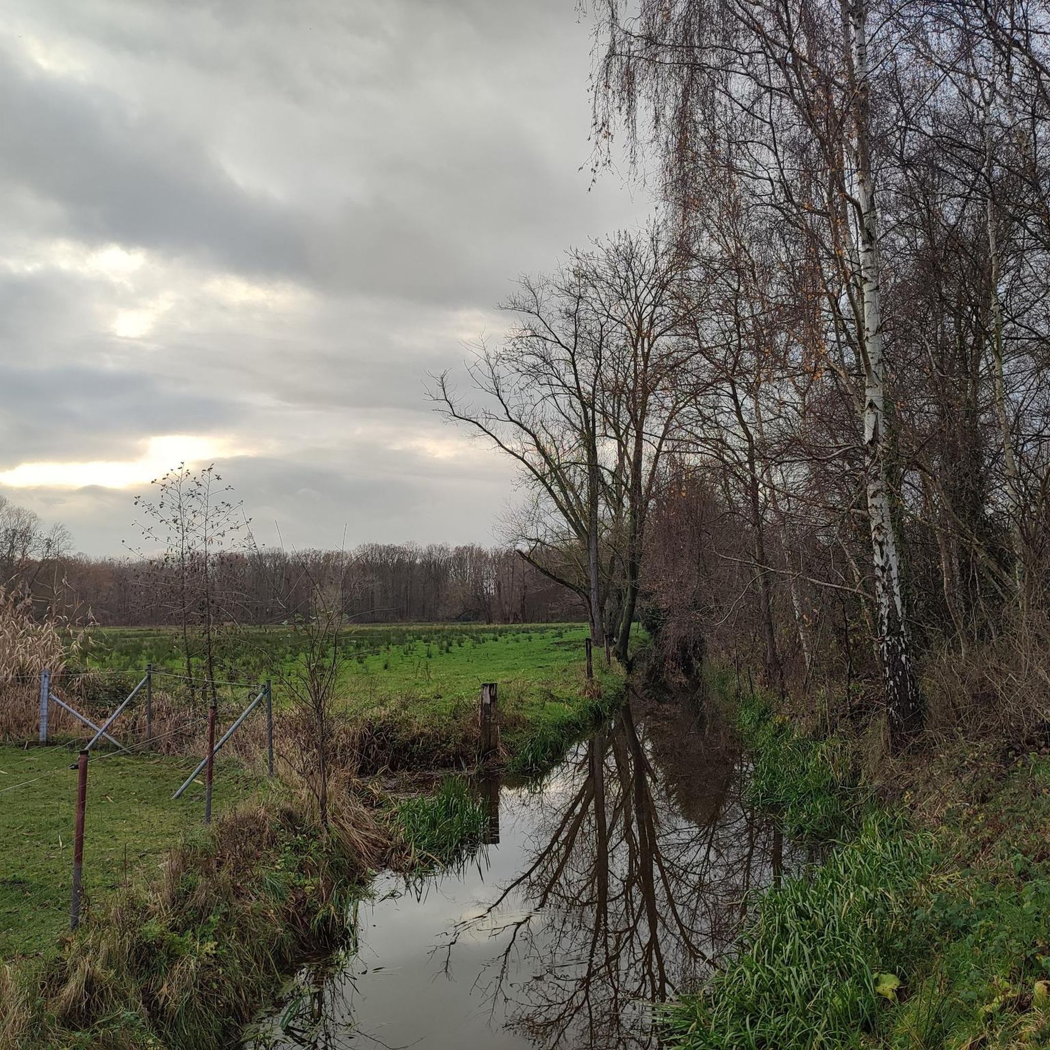
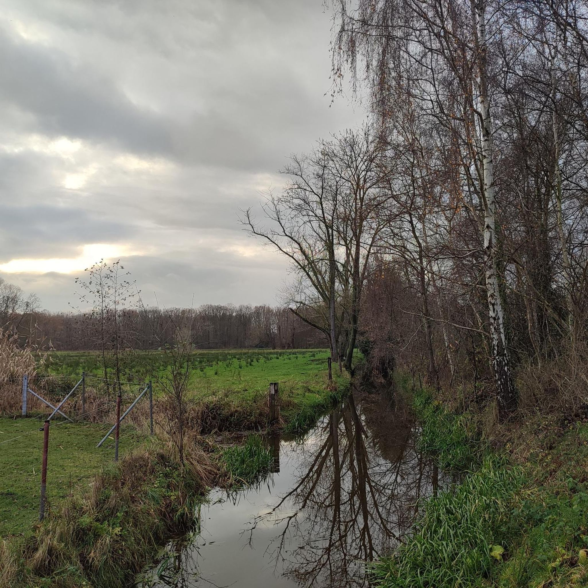
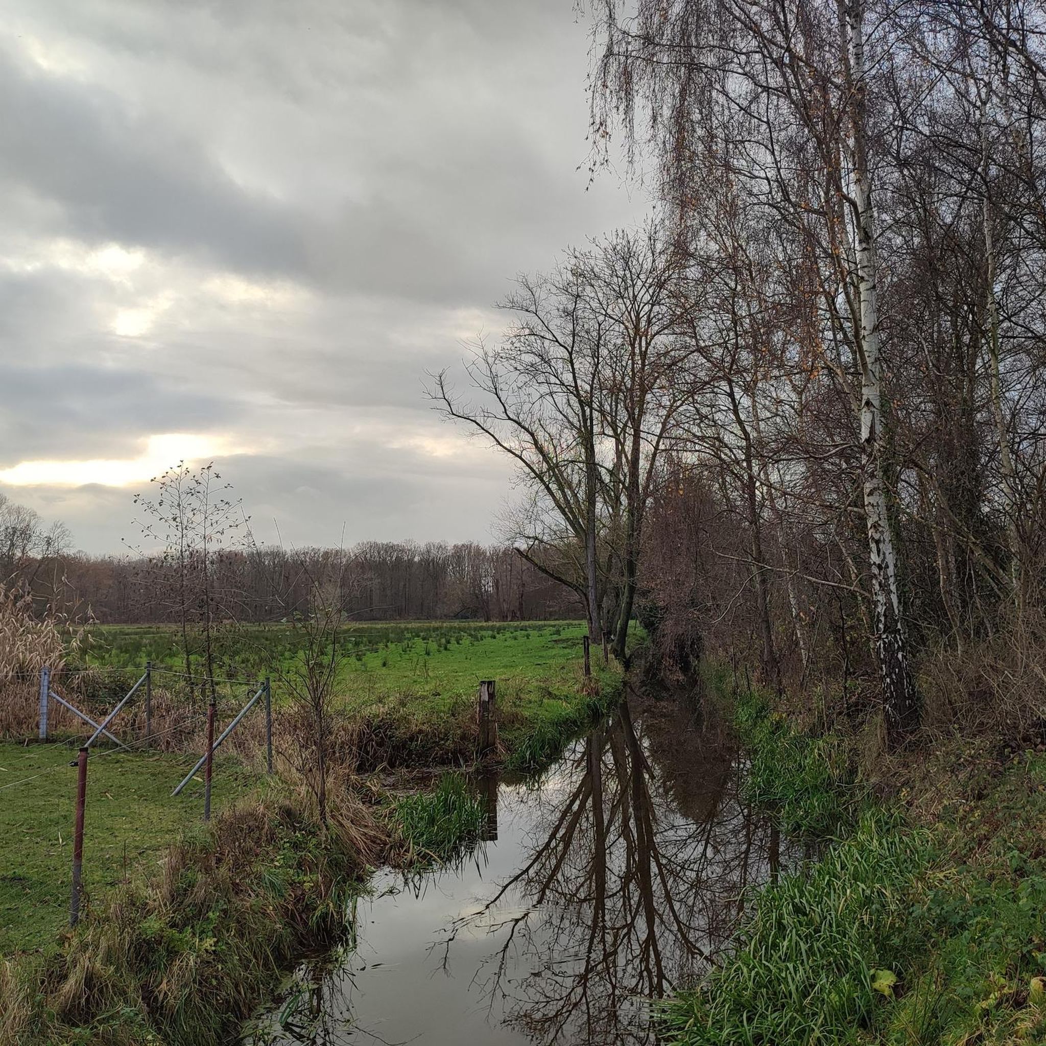
At this location you are at the highest geographical point of the province of Antwerp. At a height of 51.6 meters you can enjoy a 15 ha large nature park Beerzelberg. Rare fauna and flora provide a relaxing experience. The nature park is accessible all year round. It is car and bicycle free. Parking is possible at the edge of the domain. Children can have a great time on the safe playground equipment and play on the playing field that is located at the top of the Beerzelberg.
6
0
At a height of 51.6 metres, you can enjoy a 15 ha nature park. Rare fauna and flora provide a relaxing experience. The nature park is accessible all year round. It is car and bicycle free. Parking is possible at the edge of the domain.
6
0
Beerzelberg is remarkable in many ways. The alternation of open spaces with closed forests creates an interesting and attractive ecological and recreational structure. Beerzelberg owes its fame partly to the fact that the current maximum hill height is 51.6 meters above sea level. This makes the area officially the highest point in the province of Antwerp. Source: https://putter.natuurpuntdeputter.be/beerzelberg/
7
0
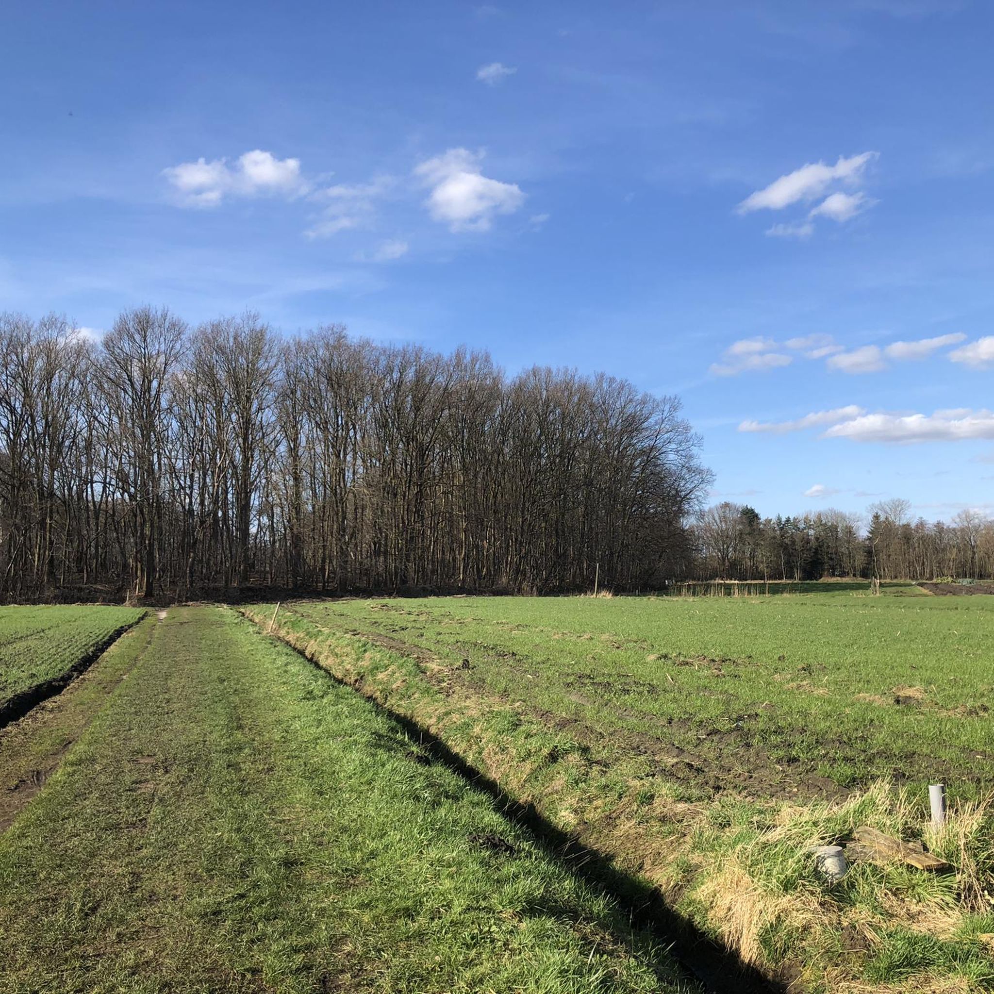
At the end of the Hoogstraat there is an orientation table at the highest point of the Rupel region. On this table you can read which cities and churches are oriented. History: the Hoogstraat used to be the connection between Terhagen and Reet. In the 1950s, the hamlets of Eikerveld, Mussepotten and Wildernis disappeared for clay mining. The slow road 'Kleibrekerspad' now once again establishes the link between Reet and Terhagen. Honesty requires me to say that this location needs a serious pruning if visitors are to enjoy the panoramic view. Every year nature takes over this highlight more and more.
2
0

The Beerzelberg is a witness hill in the Putse sub-municipality of Beerzel and the highest natural point of the province of Antwerp. The height of the Beerzelberg is 51.60 meters.[1] In the Tertiary period, the hill was deposited in the Diestian Sea. The sand contained a lot of glauconite, and as the sea level dropped, this glauconite oxidized and formed iron sandstone. In the area, the ordinary sand washed away, leaving the ironstone as a mound. In the 18th and 19th century, the Beerzelberg was wooded with an open space at the top where 27 lanes led. The forest was cleared at the beginning of the 20th century and the area became overgrown with heather, although old coppice stoves, mainly made of oak, remain. The area subsequently served as a military training area and as a venue for cyclo and motocross competitions before becoming a nature reserve. Source: Wikipedia
7
0
Here you can read about the history, the fauna & flora and the geology.
7
0

After a climb you reach the viewpoint where Brussels, Antwerp and Mechelen can be seen...
7
0
On top of the hill you have panorama in every direction...
6
0
Frequently Asked Questions
What kind of 'mountain peaks' can I expect around Sint-Katelijne-Waver?
The Sint-Katelijne-Waver region is generally flat, so the 'mountain peaks' refer to elevated points, witness hills, and viewpoints rather than traditional mountains. These spots offer panoramic views and serve as local high points, ideal for exploring nature and hiking.
What is the highest point in the Sint-Katelijne-Waver region?
The highest point in the Rupel region is Hoogstraat, reaching 70 meters. It offers panoramic views of Mechelen and Antwerp on clear days. The highest natural point of the province of Antwerp is Beerzelberg, at 51.6 meters.
Are there any nature reserves to explore near Sint-Katelijne-Waver?
Yes, Beerzelberg is a notable nature reserve. This witness hill, formed in the Tertiary period, is now a protected area with rare fauna and flora, offering a relaxing experience for visitors.
What are the most popular elevated points for views around Sint-Katelijne-Waver?
Visitors particularly enjoy Hoogstraat for its panoramic views of Mechelen and Antwerp. Another popular spot is the Highest point of Rivierenland, where you can see distant landmarks like the Sint Romboutstoren in Mechelen and the Atomium of Brussels on clear days.
Are there family-friendly walking options among these elevated points?
Yes, Beerzelberg is considered family-friendly. It features a 15-hectare nature park that is car and bicycle-free, with parking available at the edge of the domain. Children can also enjoy safe playground equipment and a playing field at the top.
What outdoor activities can I do near these elevated points?
The region around Sint-Katelijne-Waver is excellent for various outdoor activities. You can find numerous routes for hiking, cycling, and gravel biking. For example, there are several hiking routes like the 'Hondsbossen' loops, and cycling paths such as 'A bird paradise – Cycle path along the Nete loop'. You can explore these options in the hiking guide, cycling guide, and gravel biking guide for the area.
Are there hiking trails near the elevated points of Sint-Katelijne-Waver?
Yes, there are many hiking trails available. For instance, near Beerzelberg, you can enjoy the nature park. Other trails include the 'Hondsbossen – De Hondsbossen information board loop' and the 'Nature trail among the trees – Roozendaal Estate loop'. You can find more details and routes in the Hiking around Sint-Katelijne-Waver guide.
What historical information is available about these elevated points?
At Beerzelberg, you can find an information board detailing its history, geology, and the local fauna and flora. This witness hill was formed in the Tertiary period and has served various purposes before becoming a nature reserve. Hoogstraat also has a history as a former connecting road, with an orientation table at its summit.
What do visitors enjoy most about the elevated points around Sint-Katelijne-Waver?
Visitors appreciate the panoramic views offered from spots like Hoogstraat and the Highest point of Rivierenland. The natural beauty and tranquility of areas like Beerzelberg, with its rare fauna and flora, are also highly valued for outdoor activities and relaxation.
Can I spot wildlife at these elevated points?
Yes, particularly at Beerzelberg, which is a nature park known for its rare fauna and flora. The alternation of open spaces with closed forests creates an interesting ecological structure, providing opportunities for wildlife spotting.
Are there any easy walking trails suitable for beginners?
Many of the walking routes in the area are relatively easy due to the flat topography. For example, the 'Hondsbossen – De Hondsbossen information board loop' is rated as easy. These trails are generally suitable for beginners looking for a pleasant outdoor experience. You can find more options in the Hiking around Sint-Katelijne-Waver guide.
What is the best time to visit the elevated points around Sint-Katelijne-Waver?
The elevated points and nature areas around Sint-Katelijne-Waver are accessible year-round. Spring and autumn offer pleasant temperatures and beautiful scenery for walking and cycling. Summer is also popular, while winter can provide a different, serene experience, though some paths might be muddy.
Most popular routes around Sint-Katelijne-Waver
Most popular attractions around Sint-Katelijne-Waver

Get inspired with the komoot mobile app


Explore more
See even more amazing summits around Sint-Katelijne-Waver with these guides:
