The best walks and hikes around Sint-Katelijne-Waver
4.4
(394)
2,337
hikers
95
hikes
Hiking around Sint-Katelijne-Waver offers diverse natural landscapes, characterized by extensive forest areas like the Waverwoud, which includes the Hondsbossen and Gasthuisbossen. The region features serene waterside paths along the Dijle and Nete rivers, alongside picturesque fields and historic estates such as Domein Roosendael. These landmarks, viewpoints, and natural features provide varied terrain for popular hiking trails in Sint-Katelijne-Waver, with generally low elevation changes.
Best hiking trails around Sint-Katelijne-Waver
- The most popular hiking route is Hondsbossen – De Hondsbossen information board loop from Sint-Katelijne-Waver, a 4.5 miles (7.2 km) trail that takes 1 hour 49 minutes to complete. This easy route explores the dense woodlands of the Hondsbossen.
- Another top favourite among local hikers is Nature trail among the trees – Roozendaal Estate loop from Sint-Katelijne-Waver, a moderate 8.3 miles (13.4 km) path. This trail winds through the historic Domein Roosendael and surrounding natural areas.
- Local hikers also love the Towpath along the Nete – Towpath along the River Nete loop from Sint-Katelijne-Waver, a 6.1 miles (9.9 km) trail leading through waterside landscapes, often completed in about 2 hours 29 minutes.
- Hiking around Sint-Katelijne-Waver is defined by extensive forests like the Waverwoud, tranquil river paths along the Nete, and historic estates. The network offers options for various ability levels, from easy strolls to moderate treks.
- The routes in Sint-Katelijne-Waver are highly rated by the komoot community with an average score of 4.4 stars from over 350 reviews. More than 2,200 hikers have used komoot to explore Sint-Katelijne-Waver's varied terrain.
Last updated: July 3, 2026
4.5
(60)
295
hikers
Easy hike. Great for any fitness level. Easily-accessible paths. Suitable for all skill levels.
4.5
(37)
170
hikers
Easy hike. Great for any fitness level. Easily-accessible paths. Suitable for all skill levels.

Sign up for free
4.2
(28)
85
hikers
Moderate hike. Good fitness required. Easily-accessible paths. Suitable for all skill levels.
4.1
(19)
65
hikers
Moderate hike. Good fitness required. Easily-accessible paths. Suitable for all skill levels.
4.4
(28)
127
hikers
Moderate hike. Good fitness required. Easily-accessible paths. Suitable for all skill levels.
Get access to more routes and recommendations from other explorers.
Sign up for free
Already have an account?
Our route recommendations are based on thousands of hikes, rides, and runs completed by other people on komoot.
Start today with a free account
Your next adventure awaits.
Login or Signup

Tips from the Community

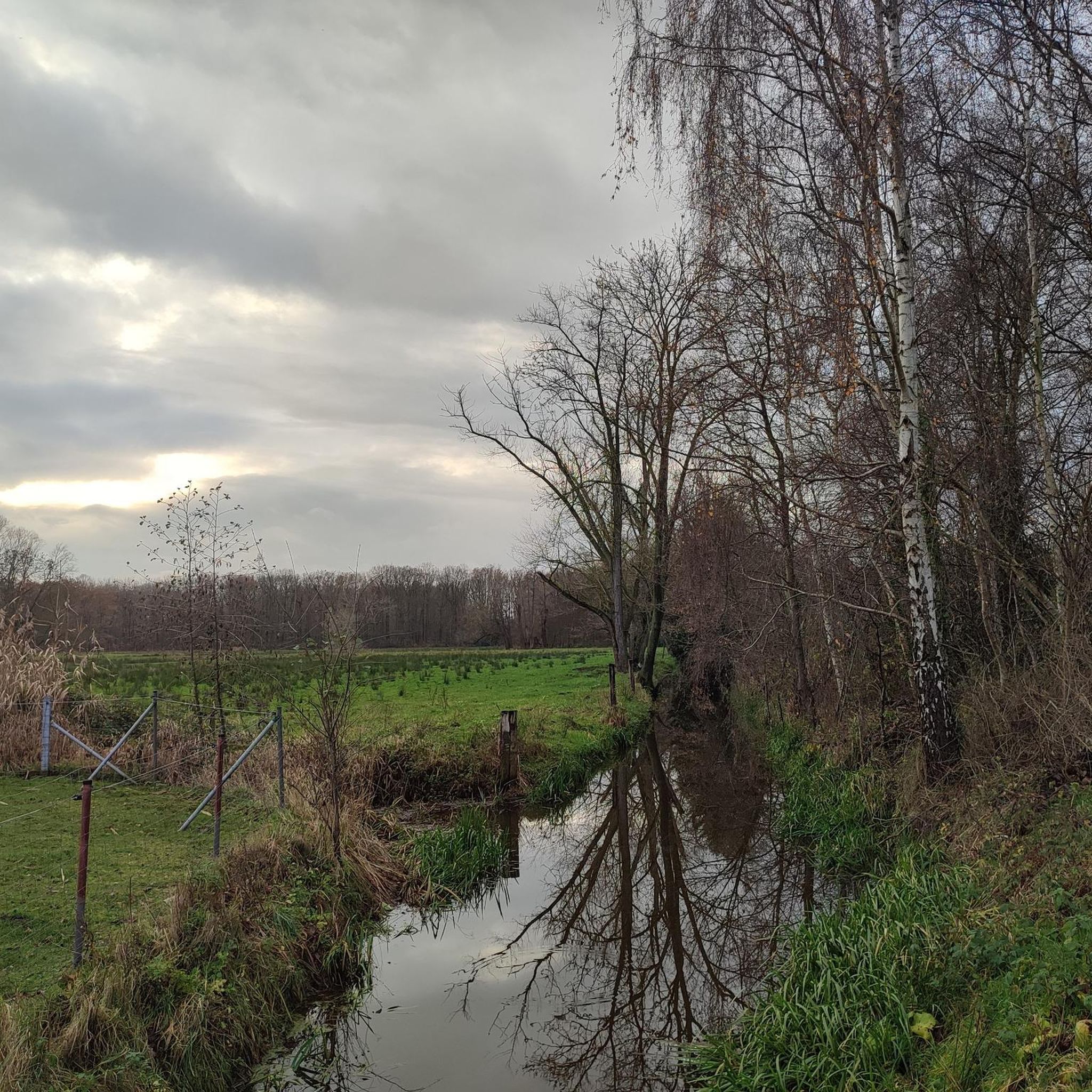
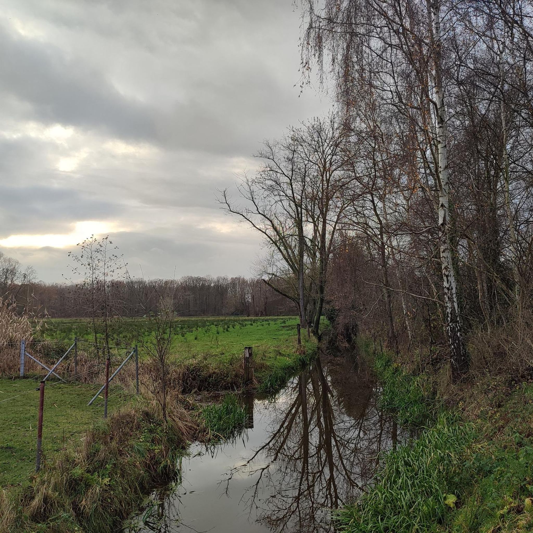
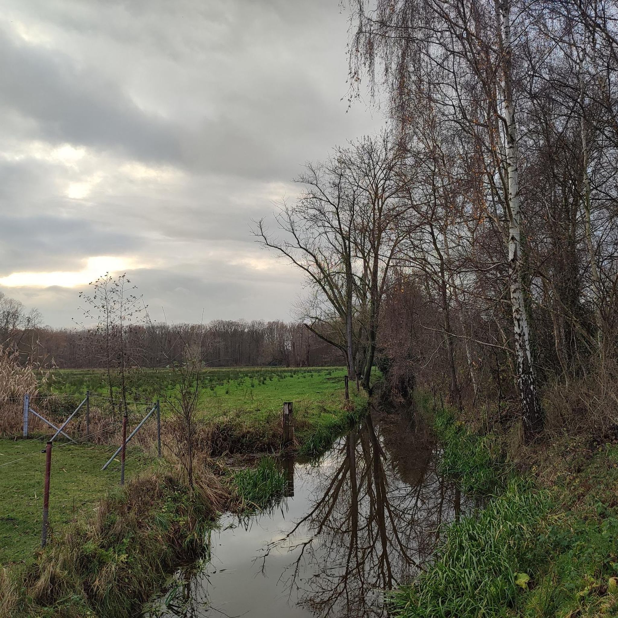
Fancy a peaceful walk in the middle of nature? The Goorbosbeekvallei is a hidden gem where you walk through moist meadows, reed fields, and quiet woodlands. Via boardwalks, you trek right through the wet landscape, while birds and aquatic life form the backdrop. This small-scale nature reserve surprises with its diversity and tranquility, ideal for a short, relaxing tour close to home. Perfect for hikers, nature lovers, and families who want to escape the hustle and bustle. 👉 Put on sturdy shoes – and let yourself be immersed in pure nature.
0
0
Kasteel ter Elst is a castle located in the municipality of Duffel. It is one of the oldest buildings in the province of Antwerp. A ruin is the only thing left of this castle.
3
0
The Nete is a river in Belgium in the Scheldt basin. Lier is located at the confluence of the Grote Nete and the Kleine Nete. As Felix Timmermans puts it: "where the three winding Nethen tie a silver knot". Downstream from Lier, the river is simply called Nete or also Benedennete. It flows together with the Dijle at Rumst and thus forms the Rupel, which eventually flows into the Zeeschelde. Tidal effects are noticeable on the Kleine Nete up to Grobbendonk. In the Benedennete, the section from Lier to Rumst (15 km), the Nete Canal starts, which connects the Rupel to the Albert Canal. The basin is part of the Regional Landscape Grote and Kleine Nete. The Nete is navigable up to 600 tons and from Duffel up to 1350 tons.
1
0
The Nete is a river in Belgium in the Scheldt basin. Lier is located at the confluence of the Grote Nete and the Kleine Nete. As Felix Timmermans puts it: "where the three winding Nethen tie a silver knot". Downstream from Lier, the river is simply called Nete or also Benedennete. It flows together with the Dijle at Rumst and thus forms the Rupel, which eventually flows into the Zeeschelde. Tidal effects are noticeable on the Kleine Nete up to Grobbendonk. In the Benedennete, the section from Lier to Rumst (15 km), the Nete Canal starts, which connects the Rupel to the Albert Canal. The basin is part of the Regional Landscape Grote and Kleine Nete. The Nete is navigable up to 600 tons and from Duffel up to 1350 tons.
2
0

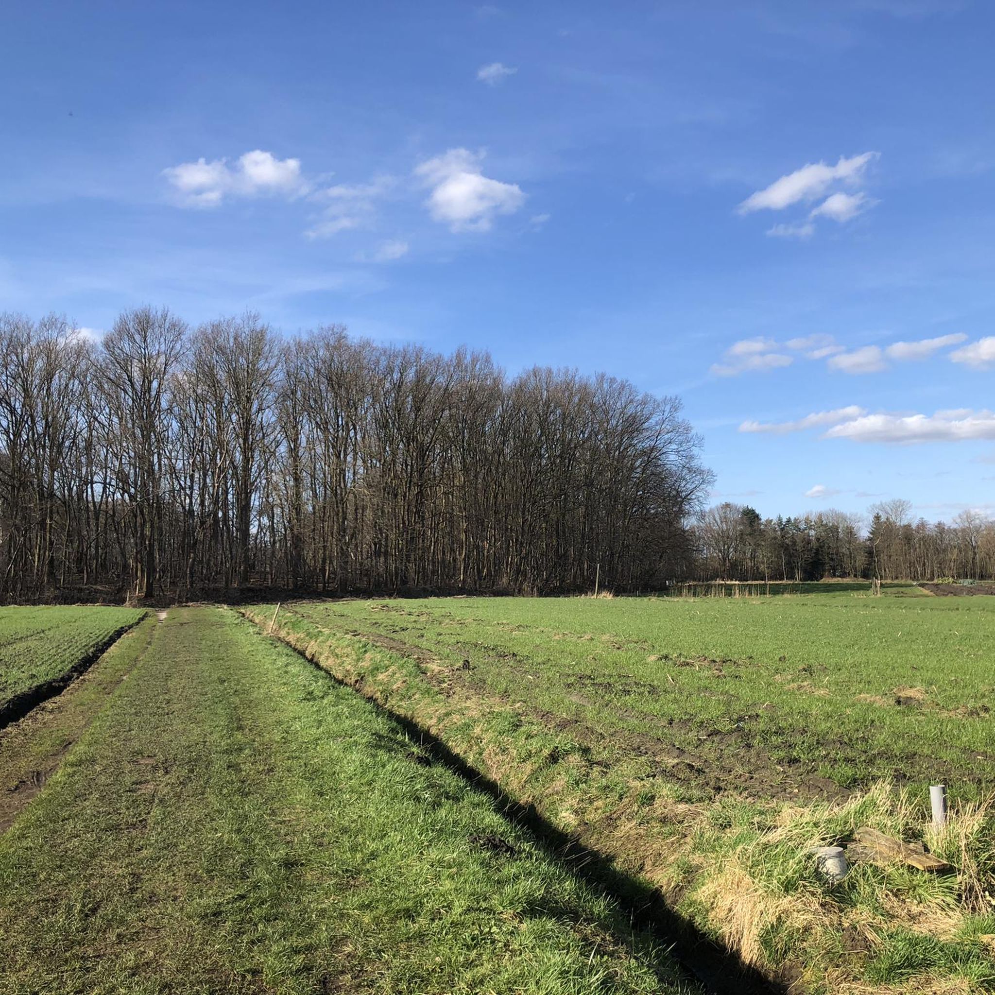
The Hondsbossen are a remnant of the early medieval Waverwoud that stretched between Nete and Dijle. It consisted of peat, wooded and open, heathland areas. What remains of the forest now, fortunately still breathes the magic of yesteryear.
1
0
Here our four-legged friends can walk around freely under the watchful eye of their owners
5
0
Interesting to read
5
0
On hot days you can cool down here under the canopy of trees.
6
0
Frequently Asked Questions
How many hiking trails are there in Sint-Katelijne-Waver?
Sint-Katelijne-Waver offers nearly 90 hiking trails, catering to various preferences and fitness levels. These routes explore the region's diverse landscapes, from dense forests to serene waterside paths.
What is the general difficulty of hiking trails in Sint-Katelijne-Waver?
The hiking trails in Sint-Katelijne-Waver are predominantly easy to moderate. You'll find around 60 easy routes perfect for a leisurely stroll, and about 27 moderate trails for those seeking a bit more challenge. There is also one difficult route for experienced hikers.
Are there many forest hikes in Sint-Katelijne-Waver?
Yes, the region is known for its extensive forest areas. The Hondsbossen – De Hondsbossen information board loop from Sint-Katelijne-Waver is a popular easy route that explores the dense woodlands of the Hondsbossen. The broader Waverwoud, encompassing areas like Gasthuisbossen, also offers numerous forest paths.
Can I find waterside hiking trails in the area?
Absolutely. Sint-Katelijne-Waver features beautiful waterside trails, particularly along the Dijle and Nete rivers. The Towpath along the Nete – Towpath along the River Nete loop from Sint-Katelijne-Waver is a great moderate option that follows these scenic waterways.
Are there any family-friendly hiking options in Sint-Katelijne-Waver?
Many of the easy routes in Sint-Katelijne-Waver are suitable for families. The generally low elevation changes and well-maintained paths make them accessible for all ages. For example, the De Hondsbossen information board – Hondsbossen loop from Onze-Lieve-Vrouw-Waver is an easy 5.4 km trail that's great for a family outing.
Are dogs allowed on the hiking trails?
While specific regulations can vary by trail section or nature reserve, many of the natural areas and trails in Sint-Katelijne-Waver are dog-friendly, often requiring dogs to be on a leash. It's always best to check local signage or specific route details for the most accurate information.
What are some notable landmarks or points of interest to see while hiking?
The region offers several points of interest. Domein Roosendael, a historic former Cistercian abbey, is a beautiful starting point for walks like the Nature trail among the trees – Roozendaal Estate loop from Sint-Katelijne-Waver. You might also encounter natural monuments, picturesque bridge constructions over the rivers, and even remnants of wartime history like bunkers along certain trails. For higher views, consider visiting the Highest point of Rivierenland or Beerzelberg.
Are there circular hiking routes available?
Yes, many of the hiking trails in Sint-Katelijne-Waver are designed as circular routes, often referred to as 'loops'. This allows hikers to start and end at the same point without retracing their steps. Examples include the various loops through the Hondsbossen and around Domein Roosendael.
What do other hikers enjoy most about hiking in Sint-Katelijne-Waver?
The area is highly rated by the komoot community, with an average score of 4.4 stars from over 350 reviews. Hikers frequently praise the diverse natural landscapes, the tranquility of the forest and waterside paths, and the accessibility of the trails for various ability levels.
Is there public transport access to the hiking trails?
Sint-Katelijne-Waver has public transport options that can provide access to various parts of the municipality. While specific trailheads might require a short walk from a bus stop, the region is generally accessible, making it possible to reach many starting points without a car. It's advisable to check local bus schedules for routes serving the areas you plan to hike.
Are there parking facilities near the trailheads?
Yes, many popular hiking areas and trailheads in Sint-Katelijne-Waver, especially around key natural features like the Hondsbossen and Domein Roosendael, offer designated parking facilities. This makes it convenient for visitors arriving by car to access the trails.
What is the best time of year to go hiking in Sint-Katelijne-Waver?
Sint-Katelijne-Waver offers pleasant hiking experiences throughout much of the year. Spring brings blooming flora, while autumn showcases vibrant foliage in the forests. Summer is ideal for enjoying the waterside paths, and even mild winter days can be suitable for a crisp walk through the woodlands.
Most popular routes around Sint-Katelijne-Waver
Most popular attractions around Sint-Katelijne-Waver

Get inspired with the komoot mobile app


Explore more
Browse the best Hikes in other regions.
