The 4 Most Amazing Peaks around Bucine
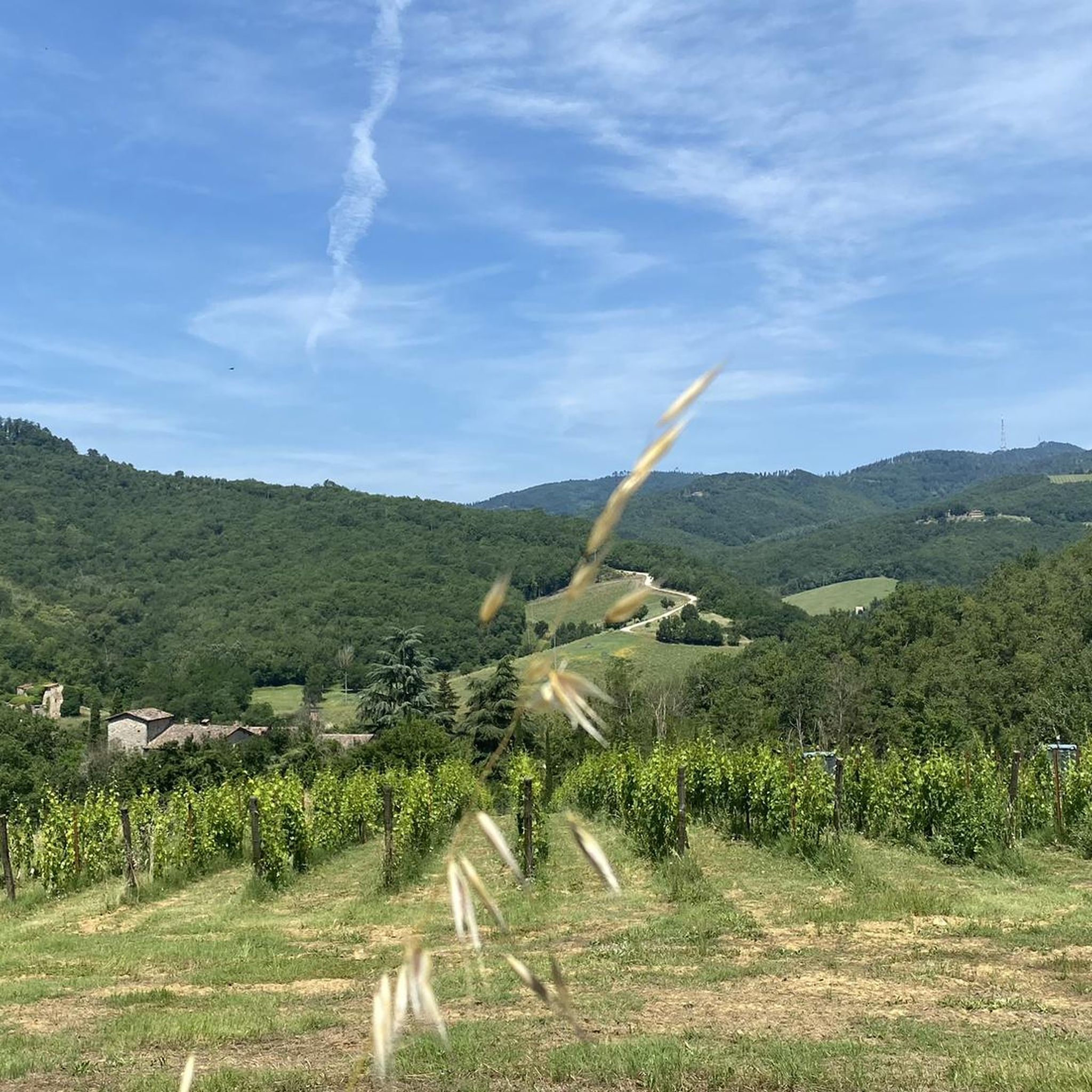
Mountain peaks around Bucine, situated in Tuscany's Valdambra valley, are characterized by rolling hills and elevated points rather than towering summits. The highest elevation within the municipality reaches approximately 807 meters, offering numerous elevated points and trails. This region provides extensive trekking, cycling, and horseback riding opportunities through woodlands, with panoramic views of the Tuscan landscape.
Best mountain peaks around Bucine
- The most popular mountain peaks is Monte Sante Marie Gravel Road, a trail that features a demanding climb…
Last updated: June 30, 2026
Monte Sante Marie Gravel Road
Highlight • Trail
Translated by Google •
Tip by

Poggio Montecercone
Highlight • Viewpoint
Tip by

Sign up now to discover places like this
Get recommendations on the best single tracks, peaks, & plenty of other exciting outdoor places.
Sign up for free
Monteluco
Highlight • Forest
Translated by Google •
Tip by

Monte Luco Pass and Recreation Area
Highlight • Mountain Pass
Translated by Google •
Tip by

Summit of Monte Luco
Highlight • Summit
Translated by Google •
Tip by

Start today with a free account
Your next adventure awaits.
Login or Signup
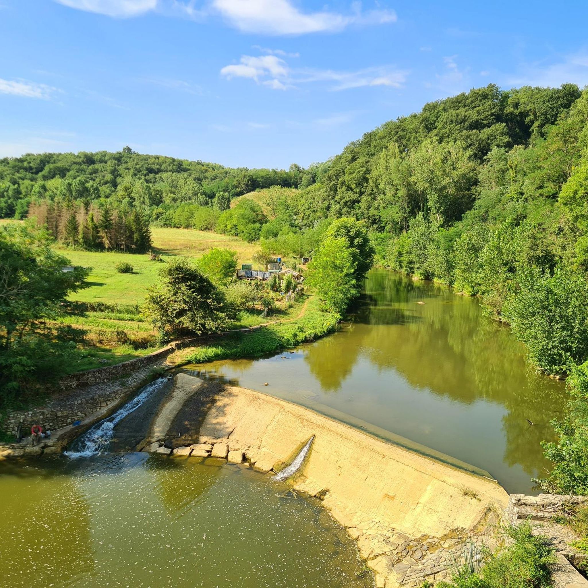
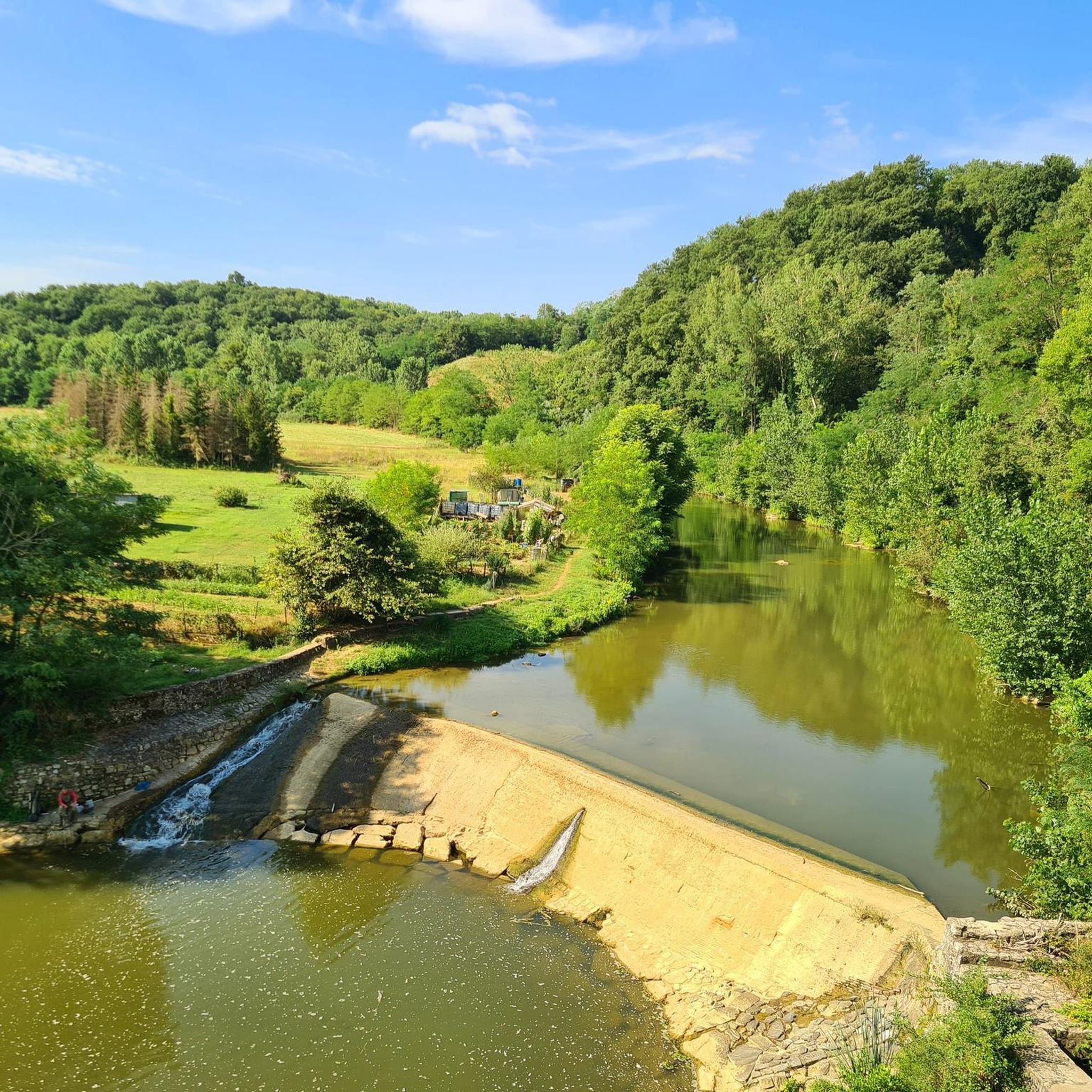
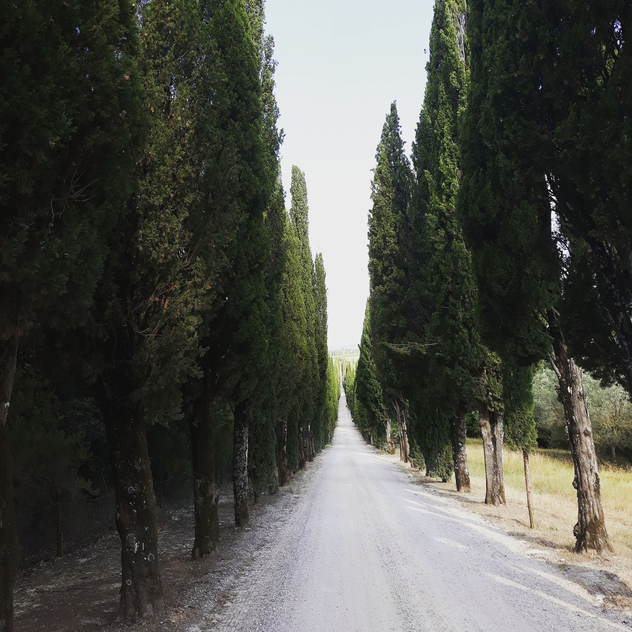
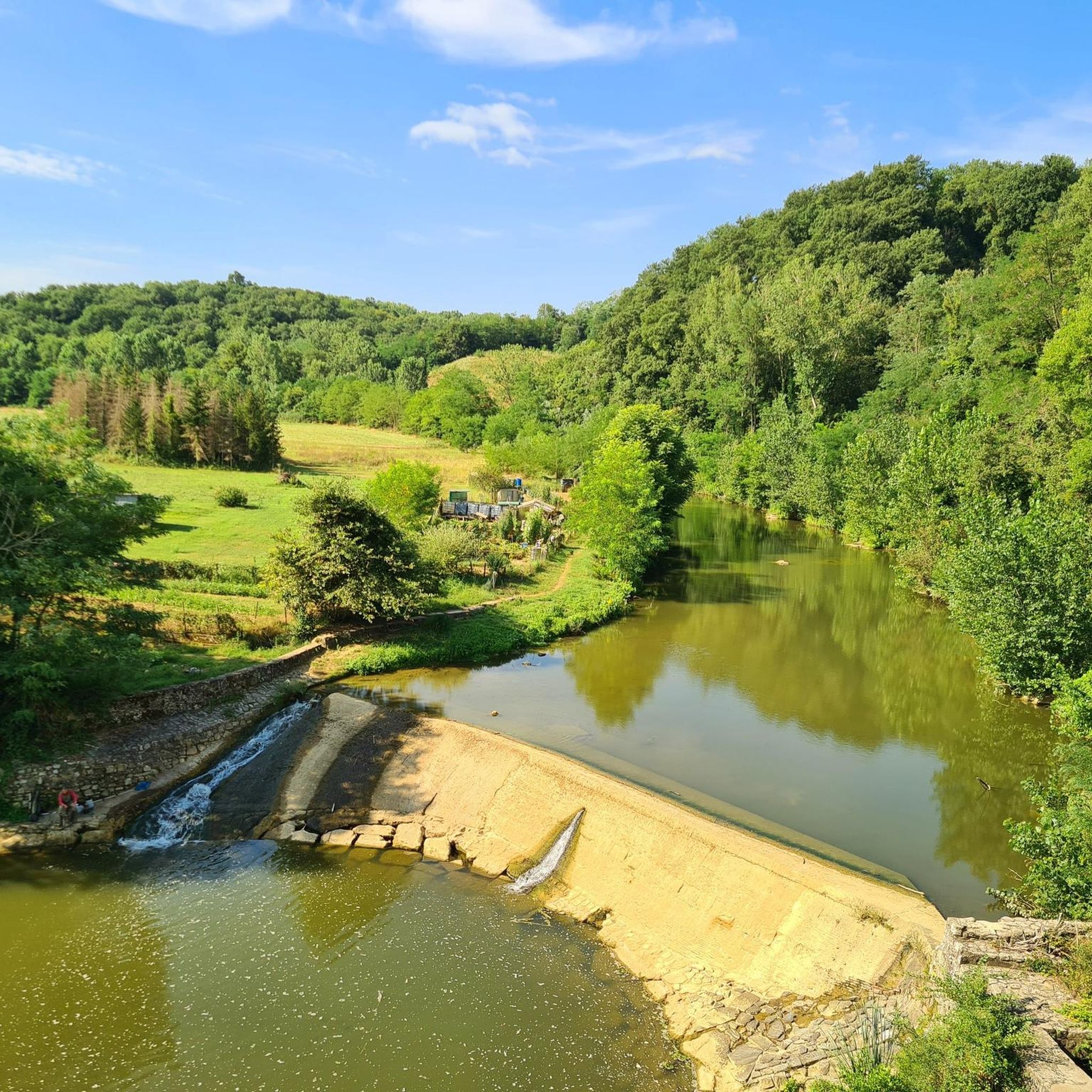

Tips from the Community

pretty here, very pretty
1
0

A tiring climb, on a stony and dusty dirt road. An exceptional panorama during the ascent. I encountered this point during a stage of the Eroica. The road on the ground, the effort on the pedals but around a wonderful landscape made up of immense green (in spring) or yellow (in summer) expanses. The colors of Tuscany are all here.
1
0

A very famous stretch for the white roads, or the Eroica, long and with unforgiving slopes.
0
0

Fascinating, tiring, legendary climb. Full Heroic spirit.
0
0

The dirt road of Monte Sante Marie, between Asciano and Torre a Castello, is a demanding climb, which has become famous thanks to sporting events such as L'Eroica and the Strade Bianche. It has steep slopes, but the effort repays with wonderful views.
3
0

Very tough climb, often the professional Strade Bianche race is decided here. A lot of effort but the panorama and the roads repay the efforts made.
1
1
Frequently Asked Questions
What are some of the most popular elevated points and trails to explore around Bucine?
Visitors frequently enjoy the challenging yet rewarding Monte Sante Marie Gravel Road, known for its wonderful views and sporting event fame. Another favorite is Poggio Montecercone, offering magnificent views of the Crete Senesi, especially at sunset. For a peaceful natural experience, Monteluco, a forest in the Chianti area, is highly appreciated.
What kind of views can I expect from the elevated areas around Bucine?
The elevated points and trails around Bucine offer expansive panoramic views of the Valdambra valley. You'll see the iconic Tuscan landscape of rolling hills, olive groves, vineyards, and ancient villages. Highlights like Poggio Montecercone provide stunning vistas of the Crete Senesi and the village of Torre a Castello.
Are there any historical sites or cultural landmarks associated with the elevated areas in Bucine?
While not a natural peak, the 10th-century Galatrona Tower is an imposing watchtower that offers breathtaking views of the Valdarno and Valdambra. Additionally, many trails in the region pass by historical sites such as Romanesque churches and medieval castles, allowing for cultural immersion alongside nature exploration. The village of Pogi Alta, situated on a hill, also offers a glimpse into the past with its medieval origins.
What outdoor activities are popular in the elevated areas of Bucine?
The region is ideal for 'slow tourism,' offering extensive opportunities for trekking, cycling, and horseback riding. The network of trails caters to various skill levels, allowing visitors to explore the tranquil countryside and its diverse ecosystems. You can find dedicated guides for these activities, such as Road Cycling Routes around Bucine, Gravel biking around Bucine, and Hiking around Bucine.
Are there specific hiking trails recommended for exploring the hills around Bucine?
Yes, there are several recommended hiking trails. For a challenging experience, consider 'La via dei corbezzoli Trail' which is over 21 km. For moderate options, trails like 'Montozzi Castle – Castle and Winery loop from Pogi' and 'Badia a Ruoti – Sogna loop from Pietraviva' are popular. You can find more details and routes in the Hiking around Bucine guide.
What is the best time of year to visit the elevated areas around Bucine for outdoor activities?
The region is beautiful in both spring and autumn. Spring offers lush greenery and blooming flora, while autumn provides pleasant temperatures and vibrant fall colors. In summer, areas like Monteluco offer a pleasant cool climate, making it enjoyable for experiencing nature in peace. Winter can bring a few snowflakes to the higher elevations, creating a different scenic experience.
Are there any facilities or refreshment options near the elevated points in Bucine?
Yes, at Monte Luco Pass and Recreation Area, you can find a refreshment bar and an equipped park. This spot serves as a convenient crossing point between Valdarno and Chianti, offering food and drinks.
Are there family-friendly options for exploring the elevated areas around Bucine?
While specific 'family_friendly' categories aren't listed for individual highlights, the region's extensive network of trails through scenic hills and woodlands offers various options suitable for different skill levels. Many moderate hiking routes, such as the 'Rustic Village Pathway – Trail in the Woods loop from Pogi' (7.39 km), could be suitable for families looking for shorter, less strenuous walks. The combination of natural beauty and historical sites can also make for an engaging family outing.
What makes the Monteluco area special for visitors?
Monteluco is a forest in the Chianti area that rises just over 800 meters. It is characterized by a diverse forest of pines, firs, chestnuts, and beeches, with dense Mediterranean scrub in its lower areas. It offers a wild yet peaceful natural experience, providing a pleasant cool climate in summer and a chance to see snow in winter. The ascent to the Summit of Monte Luco is also noted for its well-kept asphalt and lack of traffic.
How accessible are the trails and elevated points around Bucine?
The region offers a variety of trails, from demanding climbs like Monte Sante Marie Gravel Road to more moderate paths. While public transport options directly to trailheads might be limited, many areas are accessible by car, with parking available near popular starting points. The focus on 'slow tourism' suggests a good infrastructure for walking and cycling.
What is the highest elevation within the municipality of Bucine?
The highest elevation within the municipality of Bucine reaches approximately 807 meters (around 2,648 feet). This classifies its elevated areas more as hills than significant mountains, offering numerous elevated points and trails for exploration.
What do visitors enjoy most about the elevated areas around Bucine?
Visitors particularly enjoy the combination of natural beauty, the opportunities for outdoor activities, and the historical context. The panoramic views of the Valdambra valley, the extensive network of trails for hiking and cycling, and the chance to discover historical sites like medieval castles and Romanesque churches are highly appreciated. The peaceful and wild nature of places like Monteluco also receives positive feedback.
Most popular attractions around Bucine

Get inspired with the komoot mobile app


Explore more
See even more amazing summits around Bucine with these guides:
