Top 10 Waterfalls around Oltressenda Alta
Best waterfalls around Oltressenda Alta are found in the Alta Val Seriana, a region in the province of Bergamo known for its natural landscapes and hiking opportunities. The municipality is situated near the Serio River and the Ogna stream, contributing to the presence of various water features. This area offers a diverse range of natural attractions for those exploring the Orobic Alps.
Best waterfalls around Oltressenda Alta
- The most popular waterfalls is Serio Falls, a waterfall that is among…
Last updated: June 29, 2026
Serio Falls
Highlight • Waterfall
Translated by Google •
Tip by

Sanguigno Stream Waterfalls
Highlight • Waterfall
Translated by Google •
Tip by

Sign up now to discover places like this
Get recommendations on the best single tracks, peaks, & plenty of other exciting outdoor places.
Sign up for free
Giant's Kettles of Valzurio
Highlight • Natural Monument
Translated by Google •
Tip by

Waterfalls and Stream Along the Ogna River, Parco delle Orobie Bergamasche
Highlight • Waterfall
Translated by Google •
Tip by

Giants' Kettles Waterfalls
Highlight • Waterfall
Translated by Google •
Tip by
Sign up for free to discover even more waterfalls around Oltressenda Alta.
Sign up for free
Already have an account?
Start today with a free account
Your next adventure awaits.
Login or Signup
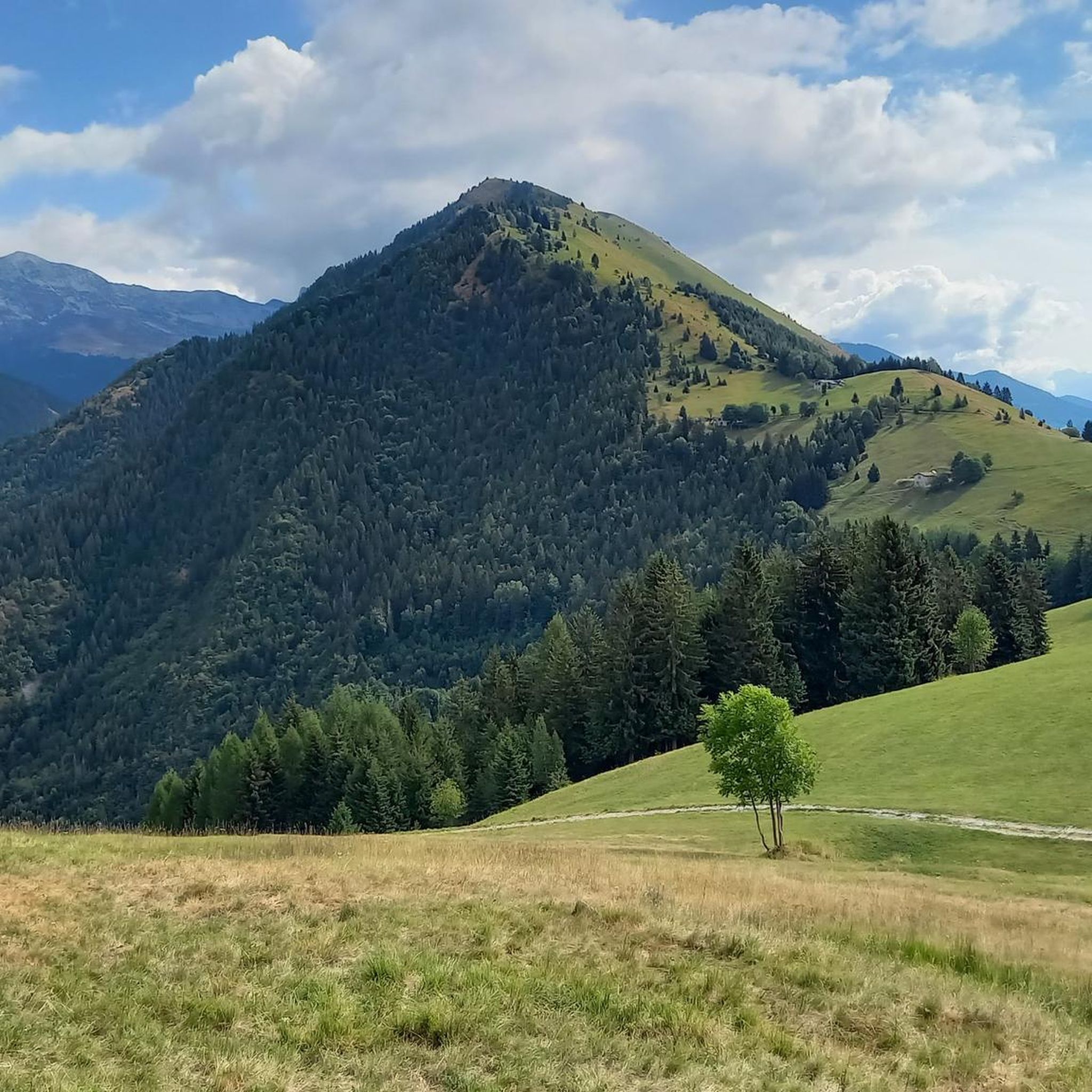
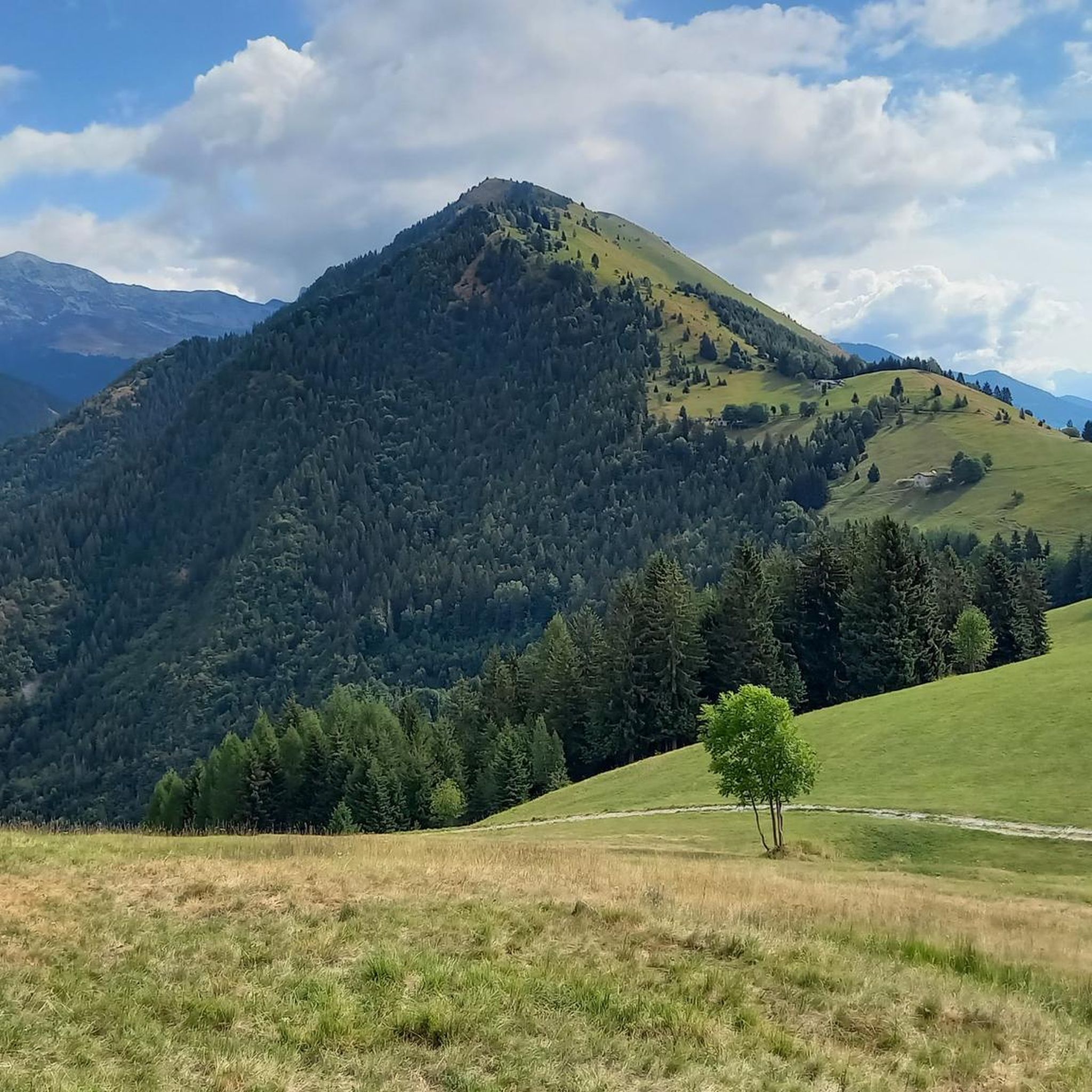
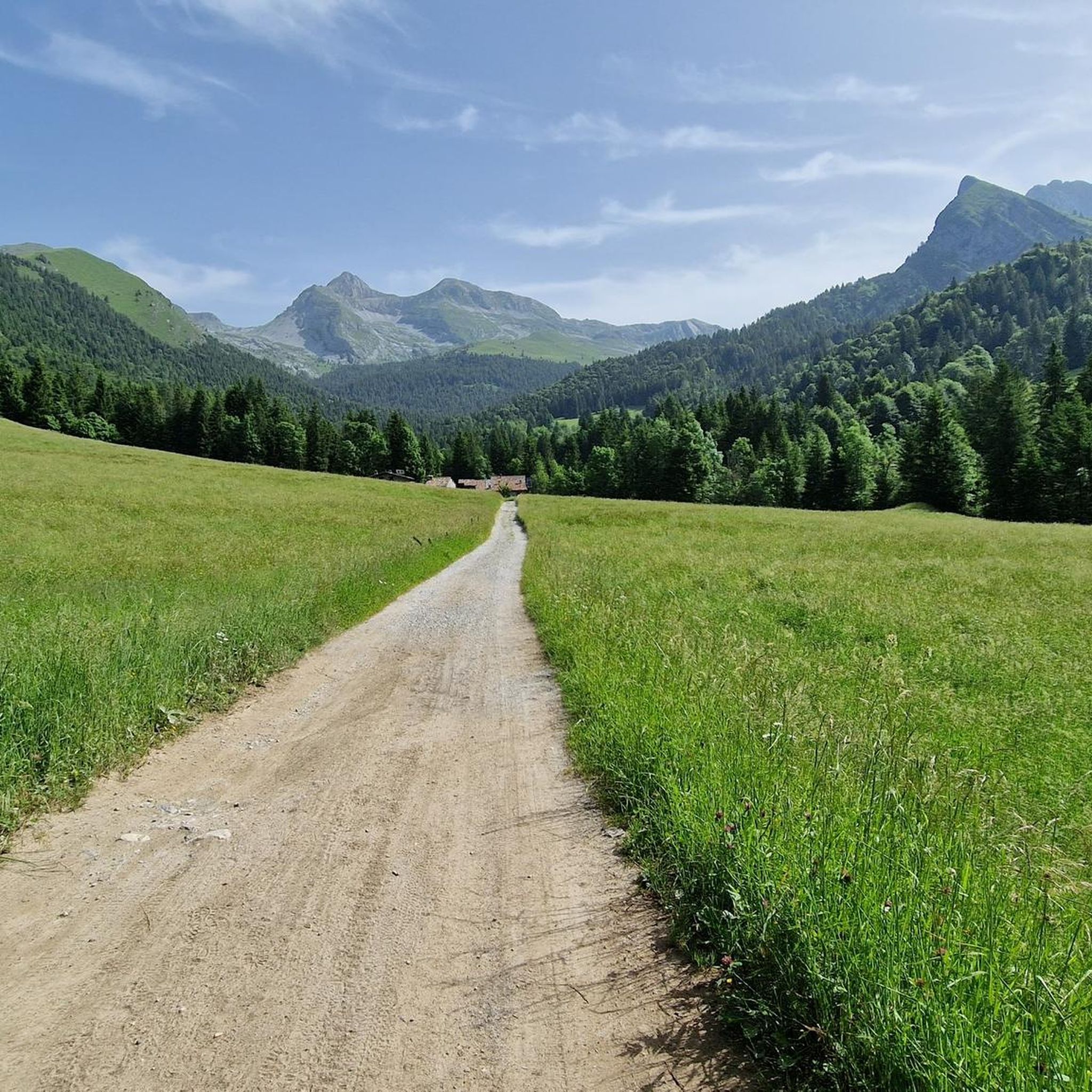

Tips from the Community

Snow-covered Giants' Cauldrons!
1
0

The waterfalls of the Sanguigno River are one of the most evocative natural spectacles in the Sanguigno Valley, above Valgoglio (BG). A sequence of waterfalls and crystal-clear pools line the trail, immersed in greenery, making the valley a true paradise for hikers and nature lovers. 🌊 Main features Unique environment: The Sanguigno Valley is considered the oasis with the highest biodiversity in the Orobie Bergamasche Park. Waterfalls and natural pools: The stream cascades, forming transparent pools of green and blue. Wild atmosphere: The water tumbles over waterfalls, rests in crystal-clear lakes, and flows through peat bogs and shady woods. Accessibility: The starting point is the Aviasco power plant (965 m), accessible by car from Valgoglio. From there, the trail follows the stream and its waterfalls to the Gianpace Refuge. 🚶♂️ Hiking itinerary Start: Valgoglio (929 m), with parking at the Aviasco power plant (ticket required). Route: The trail follows the Sanguigno stream, passing through woods and clearings, with constant glimpses of the waterfalls. Intermediate stop: Rifugio Gianpace (1331 m), an excellent refreshment point and observation point for the waterfalls. Duration: Approximately 2 hours' walk to the refuge, with moderate elevation gain.
0
0

Tour with interesting views, less about mountain biking fun
0
0


Fascinating waterfalls, varied in shape and size. They create a sound (which we mistakenly call noise) that allows you to forget your worries, and I dare say it's therapeutic. The trail to reach them is easy, but be careful not to slip due to the constant humidity.
2
0

Very suggestive path immersed in the greenery and always close to the stream. I would like to point out that the final part of the return to the valley, as marked by the track, passes through a part of the path that is no longer passable. With difficulty you can pass between cut trunks and collapsed scree.
0
0
From Rifugio Rino Olmo in Valzurio, you can follow the CAI 340 trail, which descends through woods and meadows, along the Ogna stream. The route is suggestive and immersed in nature, with points of interest such as the Buco del Freddo and the Baite del Moschel. The descent lasts about 1 hour and 30 minutes, with a difference in altitude of about 850 meters. The trail is well marked and offers splendid views of the surrounding mountains. Once you arrive in Valzurio, you can explore the Marmitte dei Giganti, a fascinating natural phenomenon
0
0
The Marmitte dei Giganti of Valzurio, in the province of Bergamo, are spectacular natural basins carved out by the Ogna stream. These geological formations were created thanks to river erosion in areas once covered by glaciers. The hike to reach them is fascinating and also suitable for children, with a difference in altitude of about 300 meters and a travel time of 1 hour and 45 minutes - 2 hours. The most characteristic trail is the CAI 340, which follows the Ogna stream through the woods. A shorter alternative is the dirt road that starts from the car park in Spinelli. Along the way you will come across the Baite del Möschel and the suggestive Buco del Freddo, a stone construction used in the past to preserve fresh products. Once you arrive at the Marmitte, you can admire the crystalline water flowing between the rocks, creating a truly unique landscape
1
0
Frequently Asked Questions
What makes the waterfalls around Oltressenda Alta unique?
The region is home to diverse water features. The Serio Falls are Italy's highest and Europe's second-highest, known for their spectacular regulated flow. You can also find unique geological formations like the Giant's Kettles of Valzurio, which are cylindrical basins carved by water in the Ogna stream.
When is the best time to visit the Serio Falls?
The Serio Falls are unique because their flow is regulated by the Barbellino Dam. They are only visible on specific dates, typically four to five times a year between June and October, for about 30 minutes each time. These scheduled openings create an exclusive viewing experience, attracting many visitors.
Are there family-friendly waterfall hikes in the area?
Yes, the area offers options suitable for families. The Giant's Kettles of Valzurio are explicitly family-friendly, featuring clear water pools and a picnic area. The hike to the Serio Falls from Valbondione also includes trails like CAI 305, which are suitable for families.
What kind of natural formations can I expect to see near the waterfalls?
Beyond the waterfalls themselves, you can explore fascinating natural formations. The Giant's Kettles of Valzurio are a series of cylindrical basins carved by the Ogna stream, connected by suggestive cascades. The Sanguigno Stream Waterfalls feature beautiful Caribbean-colored pools and stones perfect for resting or cooling off.
What outdoor activities can I do near these waterfalls?
The region around Oltressenda Alta, particularly the Alta Val Seriana, is excellent for various outdoor activities. You can find numerous mountain hikes, including routes to the waterfalls. There are also opportunities for gravel biking and cycling through the stunning Orobic Alps.
Are there hiking trails to reach the waterfalls?
Yes, most waterfalls in the area are accessible via hiking trails. For instance, the Serio Falls are reached by a 1 to 1.5-hour hike from Valbondione, with an elevation gain of 400 meters. The Sanguigno Stream Waterfalls also have paths running along the stream, offering beautiful views and opportunities to cool off in pools.
Where can I find parking when visiting the waterfalls?
For the Serio Falls, the starting point for the hike is the village of Valbondione, where parking facilities are available. To access the Waterfalls and Stream Along the Ogna River, you can start from the Spinelli car park.
Can I swim or cool off in the water near the waterfalls?
Yes, some locations offer opportunities to cool off. The Sanguigno Stream Waterfalls are known for their clear water pools where visitors can refresh themselves. Similarly, the Giant's Kettles of Valzurio feature crystal clear swimming pools, and the Ogna River path even mentions possibilities for 'crazy dives'.
What do visitors enjoy most about the waterfalls around Oltressenda Alta?
Visitors are consistently impressed by the spectacular natural phenomena, especially the sheer height and regulated flow of the Serio Falls. The unique geological formations like the Giant's Kettles and the tranquil beauty of places like the Sersen Waterfall, with its echoing sound, are also highly appreciated. The clear water pools along streams like the Sanguigno Stream offer refreshing breaks.
Are there any less-known waterfalls worth exploring?
Beyond the prominent Serio Falls, the region offers other beautiful cascades. The Sersen Waterfall is described as a majestic waterfall nestled in a valley with a Nordic charm, offering a peaceful and beautiful atmosphere. The Waterfalls and Stream Along the Ogna River also provide a suggestive route through woods and meadows with spectacular views.
What is the difficulty level of hiking to these waterfalls?
Hiking difficulties vary. The path to the Serio Falls is generally considered intermediate, involving a 1 to 1.5-hour hike with a 400-meter elevation gain. The path along the Ogna River, starting from Spinelli car park, does not present technical difficulties but requires a fair amount of training due to its length (6 km one way) and altitude gain (around 900m).
Most popular routes around Oltressenda Alta
Most popular attractions around Oltressenda Alta

Get inspired with the komoot mobile app


Explore more
Happy to travel a little further afield? Then browse these guides for the best waterfalls around Oltressenda Alta:
