The 5 Most Amazing Peaks around Poggio Nativo
Best mountain peaks around Poggio Nativo are found within the southern foothills of the Monti Sabini, where the village is nestled at an elevation of 415 meters. The landscape is characterized by hilly terrain, rich vegetation, and agricultural areas such as olive groves and vineyards. The broader Sabine Hills offer numerous scenic elevated points and hiking trails. These locations provide natural beauty and panoramic views of the surrounding countryside.
Best mountain peaks around Poggio Nativo
- The most popular mountain peaks…
Last updated: June 29, 2026
Ruins of San Martino Abbey on Mount Acuziano
Highlight • Historical Site
Translated by Google •
Tip by

Southern summit of Monte Tancia
Highlight • Summit
Translated by Google •
Tip by

Sign up now to discover places like this
Get recommendations on the best single tracks, peaks, & plenty of other exciting outdoor places.
Sign up for free
Monte Elci Summit and Book Sculpture
Highlight • Summit
The view from the summit is magnificent.
Translated by Google •
Tip by
Monte San Cosimo
Highlight • Summit
Translated by Google •
Tip by
Monte degli Elci
Highlight • Summit
The mountain is barren on the …
Translated by Google •
Tip by

Start today with a free account
Your next adventure awaits.
Login or Signup
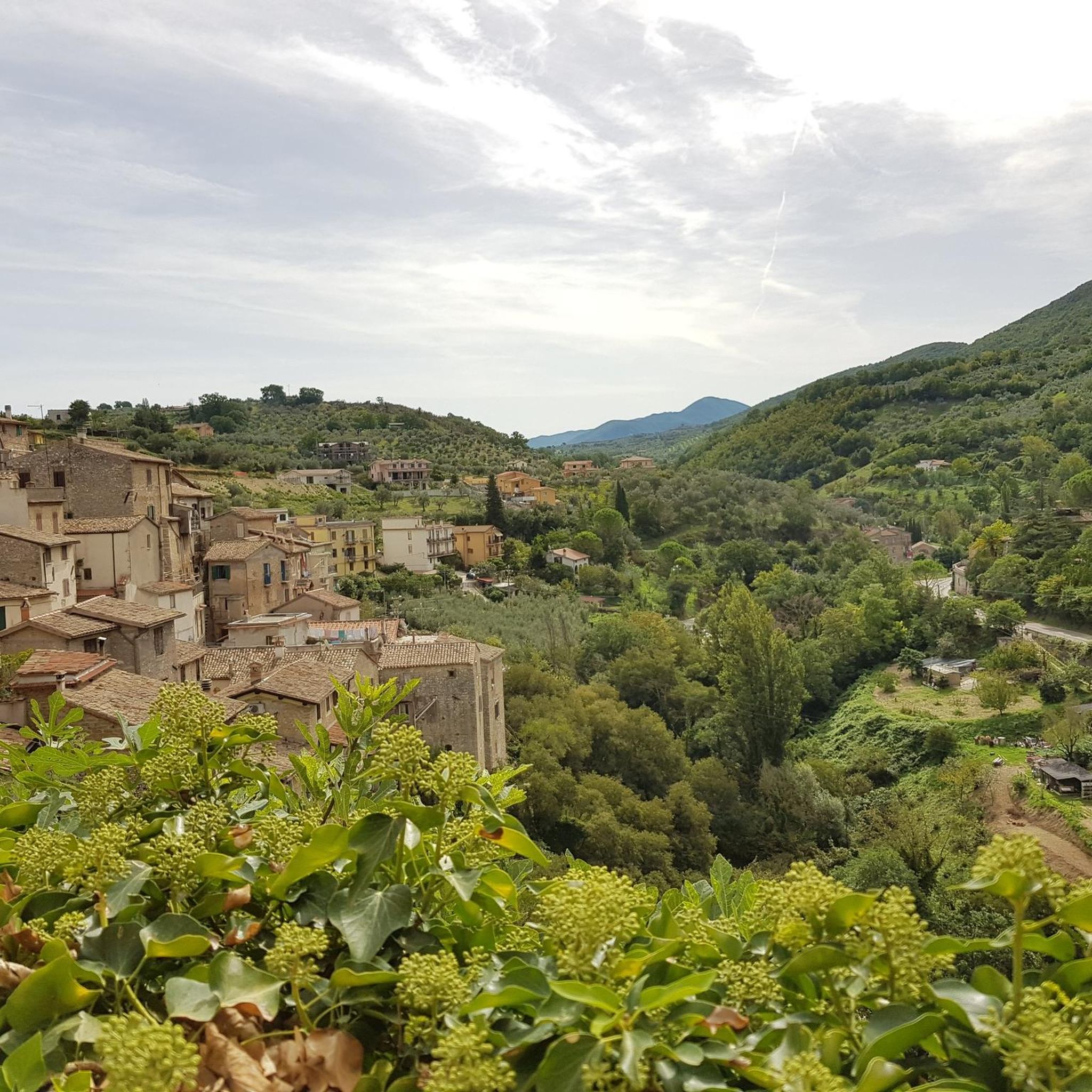
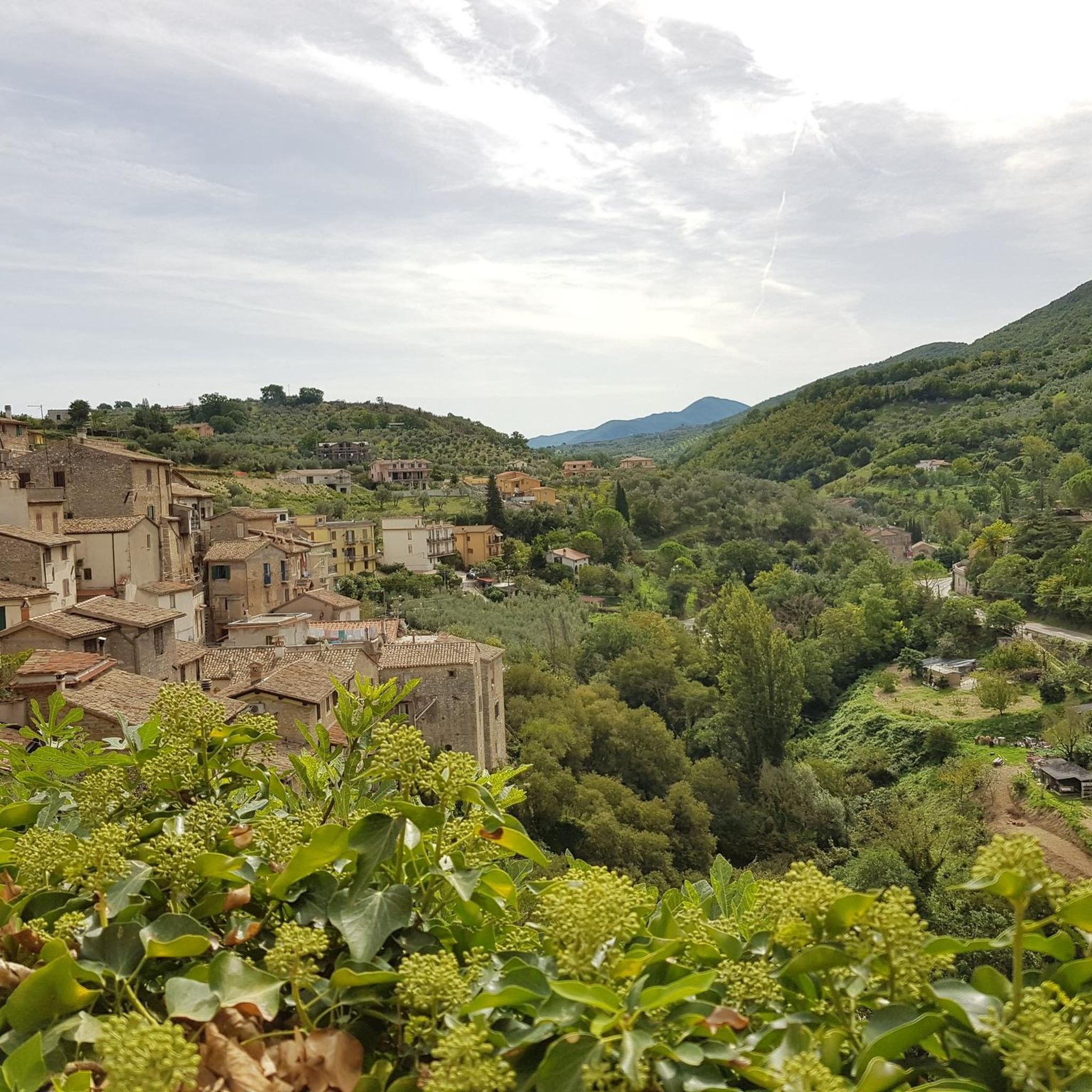
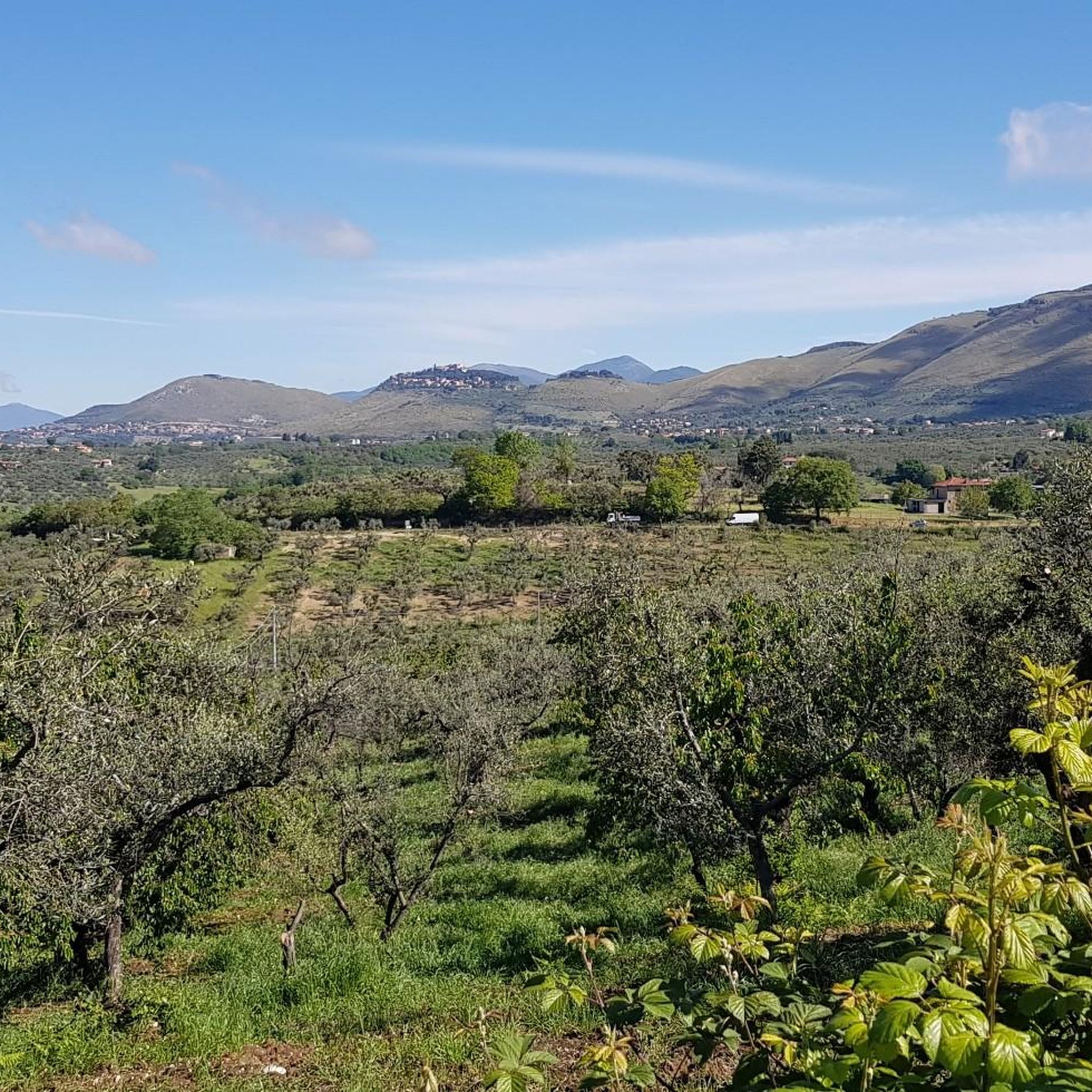
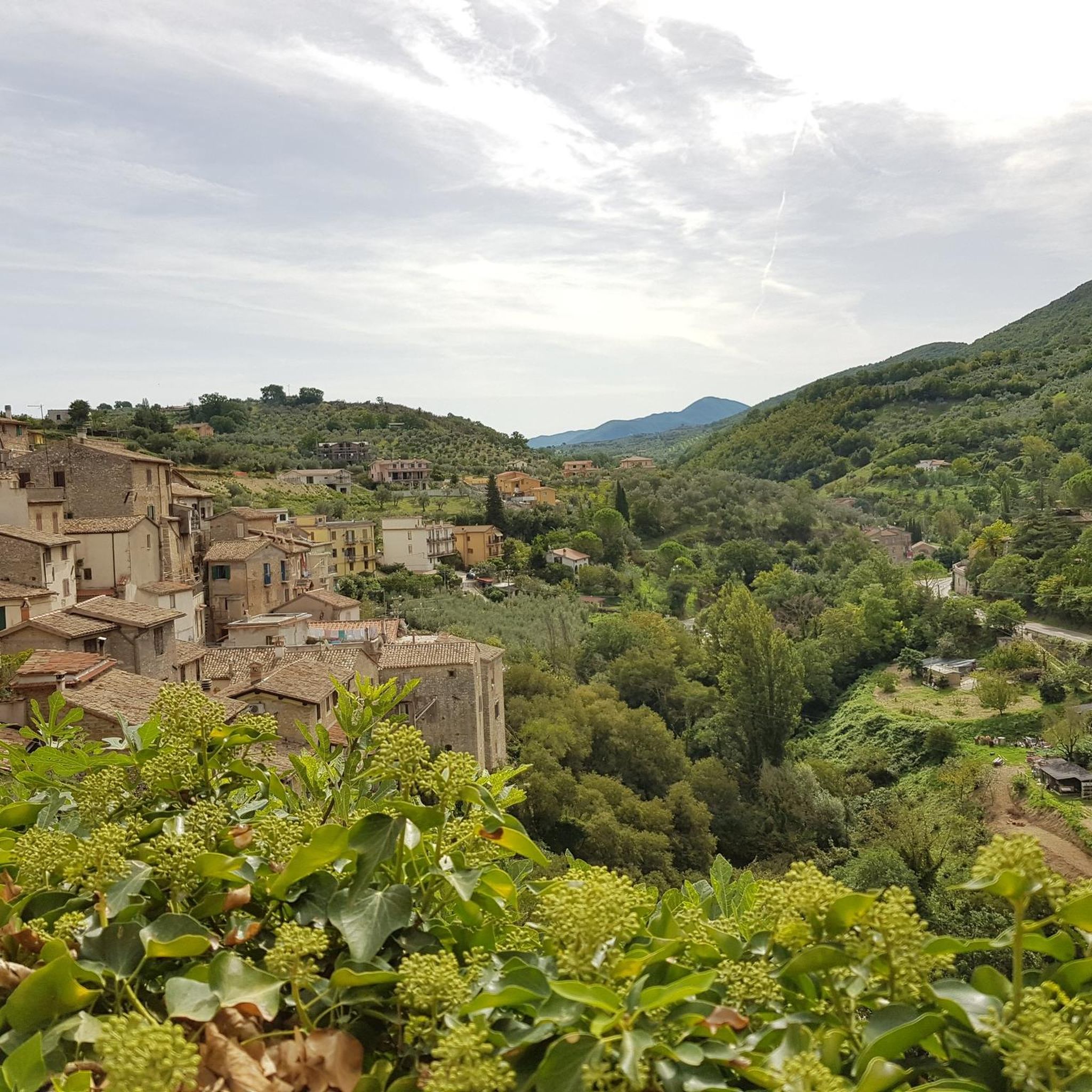

Tips from the Community

from Wiki: "it is a relief of 709 m above sea level which is located in the extreme southern reaches of the Sabine mountains. The mountain is barren on the Salaria side, and is covered by dense forest on the side facing Farfa. There are some very old maples in the woods."
0
0

It is not the official summit but it is the most beautiful panoramic point of the small Tancia complex. From here the view spans 360° from the Gran San Sasso to the Lazio coast.
1
0

Reachable with a simple trek starting from the Farfa Abbey, at the top of the mountain are the ruins of the San Martino Abbey and it is possible to admire a 360° panorama that goes from the Tiber valley, to Terminillo Pellecchia and Gennaro up to Fara in Sabina on the opposite hill.
0
0

Monte Acuziano is a peak of 489 m above sea level in the Sabine mountains. At the top are the ruins of San Martino: they are the remains of an imposing abbey dating back to the 11th century and never completed. From the top of the mountain you can enjoy a beautiful view of Lazio and of the opposite side of Mount Bruzio on which the urban agglomeration of Fara in Sabina stands.
1
0
Monte Elci is 709 m above sea level and is located in the southern part of the Sabine mountains on the border between the province of Rieti and the Rome area. The view from the summit is magnificent.
0
0
Monte S. Cosimo reaches an altitude of 663 m. The walk to reach it never presents excessive slopes. After the first stretch of asphalt, you walk on a dirt road immersed in the woods. When the vegetation opens up, you can admire a beautiful view of the Sabina.
2
0

The remains of a castle stand on the summit. From here you have a very good view of the Lacium - possibly even to St. Peter's Basilica
0
0
Frequently Asked Questions
What are some prominent elevated points or peaks to visit around Poggio Nativo?
While Poggio Nativo itself is nestled in hilly terrain, the broader Monti Sabini region offers several scenic elevated points. Notable options include the Southern summit of Monte Tancia, known for its 360° panoramic views, and the Monte Elci Summit and Book Sculpture, which also provides expansive vistas from its 709-meter elevation.
What historical sites can I explore on the peaks near Poggio Nativo?
You can visit the Ruins of San Martino Abbey on Mount Acuziano. This historical site, located on a 489-meter peak, features the remains of an 11th-century abbey and offers views of Lazio and Fara in Sabina. The area also has ancient ruins and medieval villages scattered throughout.
Are there any unique features or landmarks on the elevated points around Poggio Nativo?
Yes, the Monte Elci Summit is notable for its unique Book Sculpture. Additionally, the area boasts natural features like the lush vegetation and crystal-clear waters of the Farfa Gorges, which can be explored via various hiking routes.
What kind of views can I expect from the elevated points in the Poggio Nativo area?
The elevated points around Poggio Nativo offer magnificent panoramic views. From the Southern summit of Monte Tancia, you can see from Gran Sasso to the Lazio coast. Other points, like Mount Acuziano, provide views of the Tiber valley, Terminillo, and Fara in Sabina. Generally, you'll enjoy expansive views of the Sabine countryside, including olive groves, vineyards, and historic villages.
Are there hiking trails to reach these elevated points?
Yes, the region offers a variety of hiking and walking routes that lead to these elevated landscapes. Trails range from easy paths to more challenging routes, catering to different fitness levels. For detailed options, you can explore the Hiking around Poggio Nativo guide.
What are some recommended hiking routes near Poggio Nativo?
Popular hiking routes include the challenging "View of Monteleone Sabino – Church of Santa Vittoria loop from il Torraccio a Poggio Moiano" (28.9 km, 720m elevation gain), which passes by the archaeological site of Trebula. For moderate options, consider the "Castelnuovo di Farfa – Farfa Gorges loop from Castelnuovo di Farfa" (10.4 km) or the "Farfa Abbey – View of Fara in Sabina loop from Fara in Sabina" (13.2 km). You can find more routes in the Hiking around Poggio Nativo guide.
What is the difficulty level of hiking trails around Poggio Nativo?
The hiking trails in the Poggio Nativo area vary in difficulty. You can find easy walks, such as the "Roman Bridge loop from Castelnuovo di Farfa" (4.99 km), moderate trails like the "Farfa Gorges loop from Castelnuovo di Farfa" (10.4 km), and more difficult options like the "View of Monteleone Sabino – Church of Santa Vittoria loop from il Torraccio a Poggio Moiano" (28.9 km). Many trails involve elevation gains typical of hilly terrain.
Are there other outdoor activities besides hiking near Poggio Nativo's elevated areas?
Beyond hiking, the Poggio Nativo area is suitable for other outdoor activities. You can find numerous running trails, including the "Trail Run from Fara in Sabina to the Abbey of Farfa and Monte Acuziano" (13.1 km), detailed in the Running Trails around Poggio Nativo guide. Mountain biking is also popular, with routes like the "Lago del Turano viewpoint – Pratarelle Spring loop from il Torraccio a Poggio Moiano" (41.1 km) available in the MTB Trails around Poggio Nativo guide.
Is the area around Poggio Nativo suitable for family-friendly outings?
Yes, the Poggio Nativo area offers various options for family-friendly outings. Many trails are suitable for different fitness levels, including easier walks. Exploring historic villages and enjoying the natural beauty of the Sabine countryside can be enjoyable for families. Always check the specific trail difficulty and length before heading out with children.
Can I bring my dog on the trails around Poggio Nativo?
Generally, dogs are welcome on many outdoor trails in the Poggio Nativo area, especially in natural settings like the Sabine Hills. However, it's always advisable to keep your dog on a leash, especially in areas with wildlife or near agricultural land. Specific rules might apply in certain protected areas or near historical sites, so check local signage.
What is the best time of year to visit the elevated points and trails around Poggio Nativo?
The Poggio Nativo area can be enjoyed throughout much of the year. Spring and autumn generally offer the most pleasant temperatures for hiking and exploring, with lush vegetation in spring and beautiful colors in autumn. Summer can be warm, so early morning or late afternoon hikes are recommended. Winters are milder, but some higher elevation trails might be cooler.
Where can I find amenities like cafes or restaurants after a hike?
Poggio Nativo and the surrounding historic villages offer various amenities for visitors. You can find cafes, pubs, and restaurants in villages like Poggio Nativo itself, Castelnuovo di Farfa, and Fara in Sabina. These establishments provide opportunities to relax and refuel after exploring the trails and elevated points.
How can I access the trailheads for these elevated points?
Access to trailheads around Poggio Nativo is primarily by car, with parking often available near the starting points of popular routes or in the nearby villages. Public transport options might be limited for direct trailhead access, so planning your journey in advance is recommended. Always check for specific parking information for your chosen route.
What is the Monte San Cosimo highlight like?
Monte San Cosimo reaches an altitude of 663 meters. The walk to reach it involves a dirt road immersed in the woods, with no excessively steep slopes. Once the vegetation opens up, hikers can enjoy a beautiful view of the Sabina region.
What makes the Southern summit of Monte Tancia a popular spot?
The Southern summit of Monte Tancia is considered the most beautiful panoramic point of the Tancia complex. It offers an unobstructed 360° view that stretches from the Gran Sasso mountain range all the way to the Lazio coast, making it a highly appreciated viewpoint by visitors.
Most popular attractions around Poggio Nativo

Get inspired with the komoot mobile app


Explore more
See even more amazing summits around Poggio Nativo with these guides:
