The 4 Most Amazing Peaks around Parc Natural Comunal de les Valls del Comapedrosa
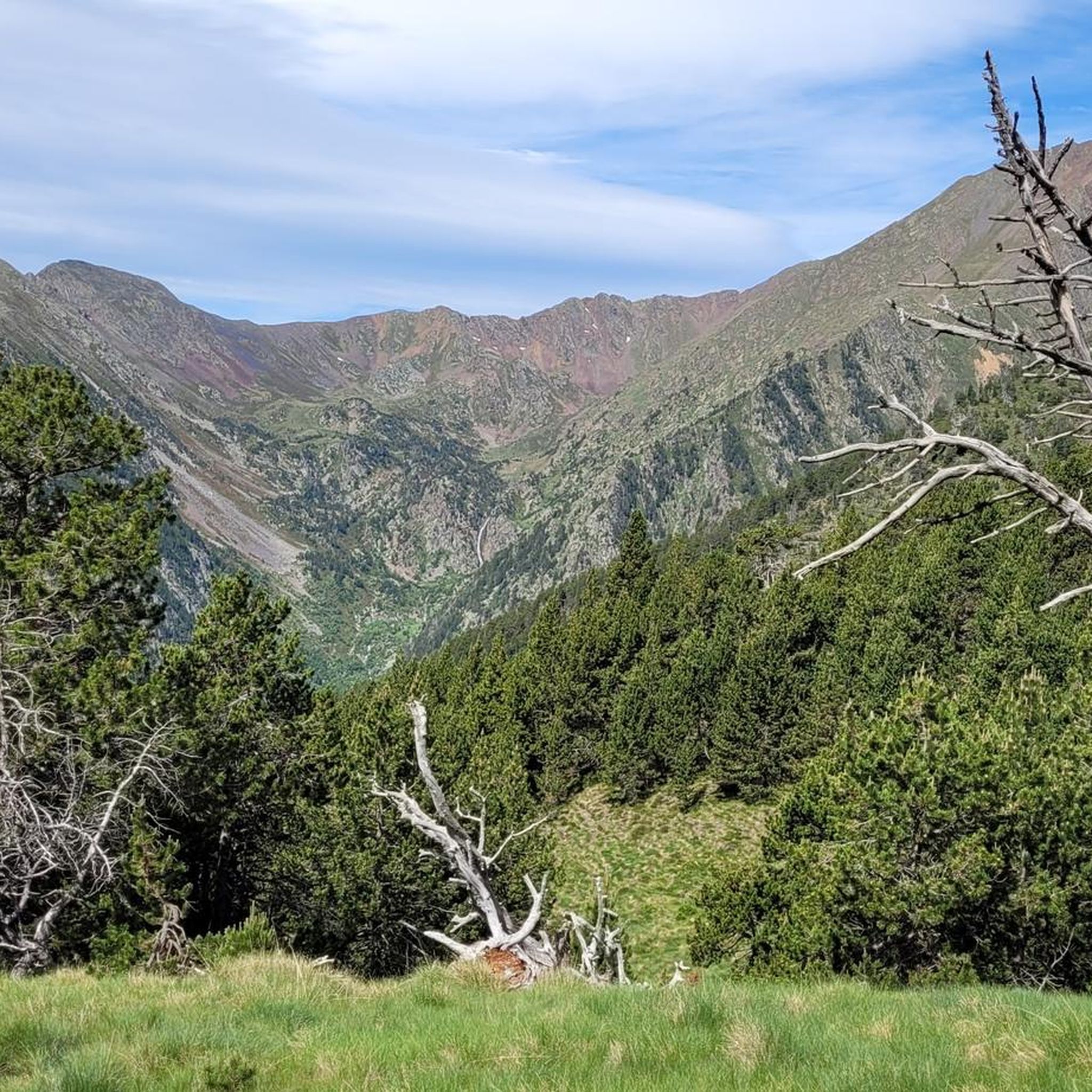
Best mountain peaks around Parc Natural Comunal de les Valls del Comapedrosa are found in the northwestern part of Andorra, characterized by high-mountain scenery and diverse landscapes. The region features significant glacial morphology, including U-shaped valleys and cirques. Visitors can explore various ecological zones, ranging from forests at lower altitudes to rugged, rocky terrain near the summits. This area offers a range of experiences for those seeking to explore the Pyrenees.
Best mountain peaks around Parc Natural Comunal de les…
Last updated: July 12, 2026
Coma Pedrosa Summit
Highlight • Summit
Showing Translation
Tip by

Pic del Clot del Cavall
Highlight • Summit
Tip by

Sign up now to discover places like this
Get recommendations on the best single tracks, peaks, & plenty of other exciting outdoor places.
Sign up for free
View of the Baiau Lakes from Portella de Baiau
Highlight • Viewpoint
Translated by Google •
Tip by

Collada dels Estanys Forcats
Highlight • Mountain Pass
Translated by Google •
Tip by
Port d'Arinsal (2,733 m)
Highlight • Mountain Pass
Translated by Google •
Tip by
Start today with a free account
Your next adventure awaits.
Login or Signup
Popular around Parc Natural Comunal de les Valls del Comapedrosa
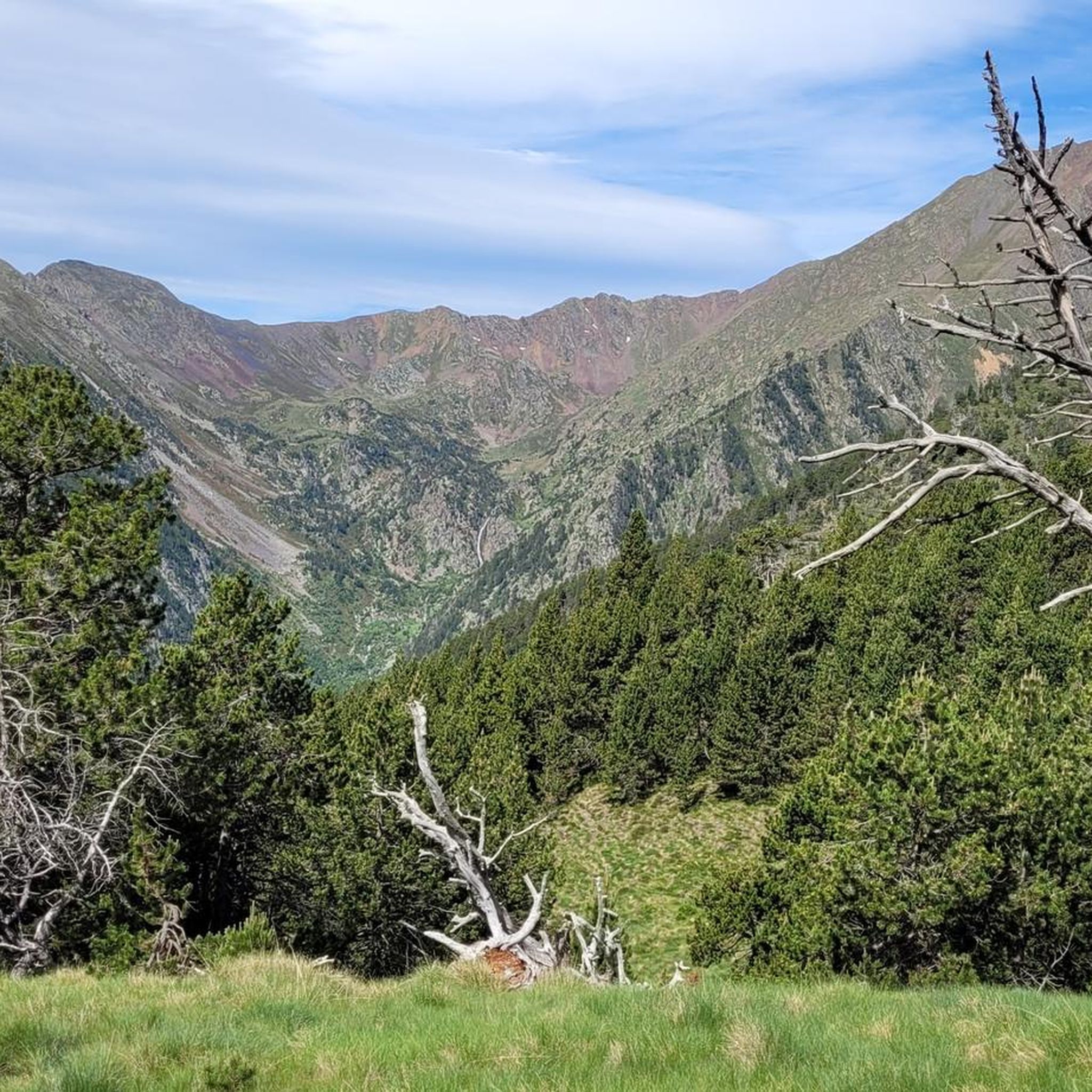
Hiking around Parc Natural Comunal de les Valls del Comapedrosa
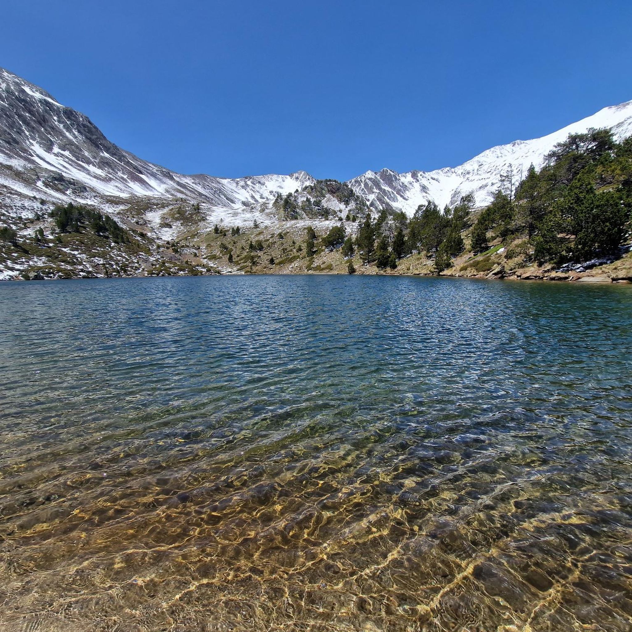
Running Trails around Parc Natural Comunal de les Valls del Comapedrosa
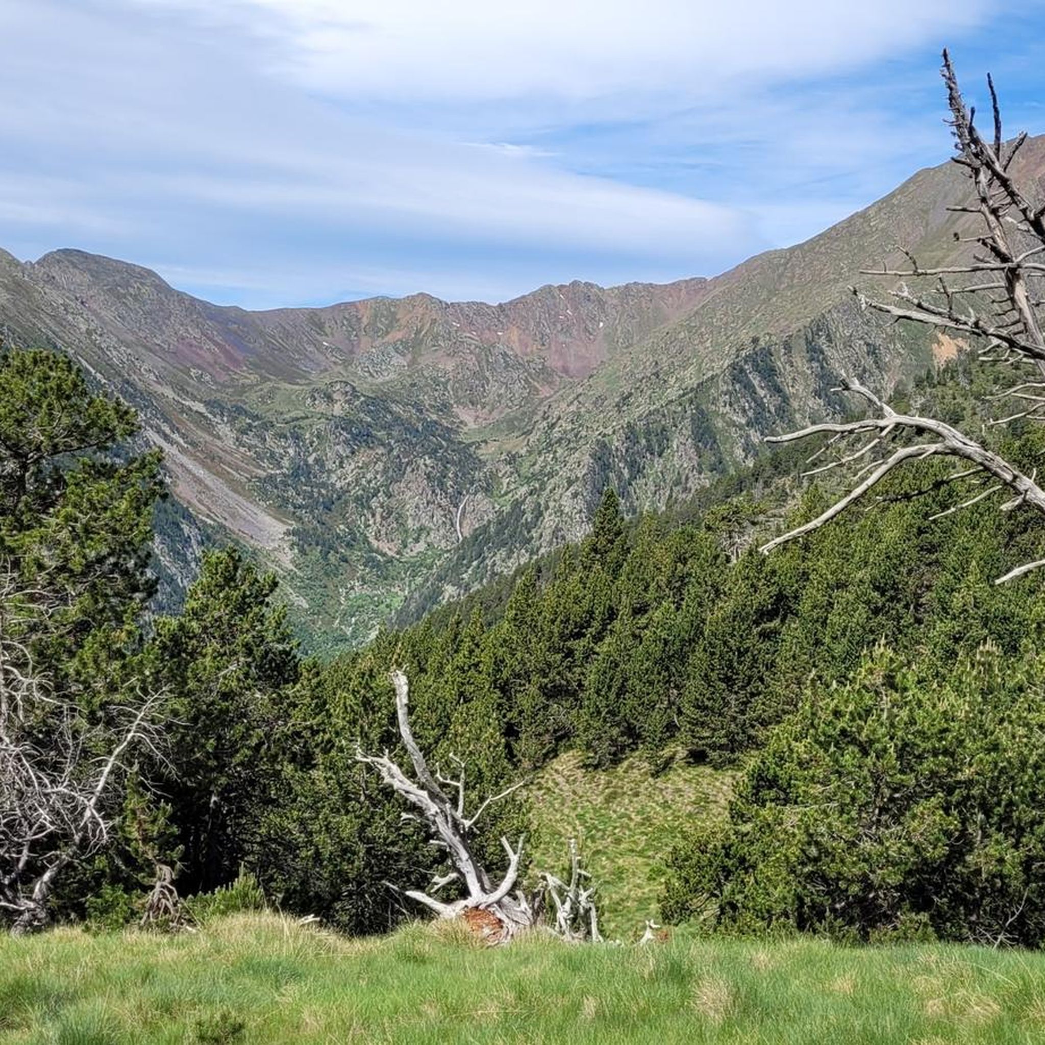
Road Cycling Routes around Parc Natural Comunal de les Valls del Comapedrosa
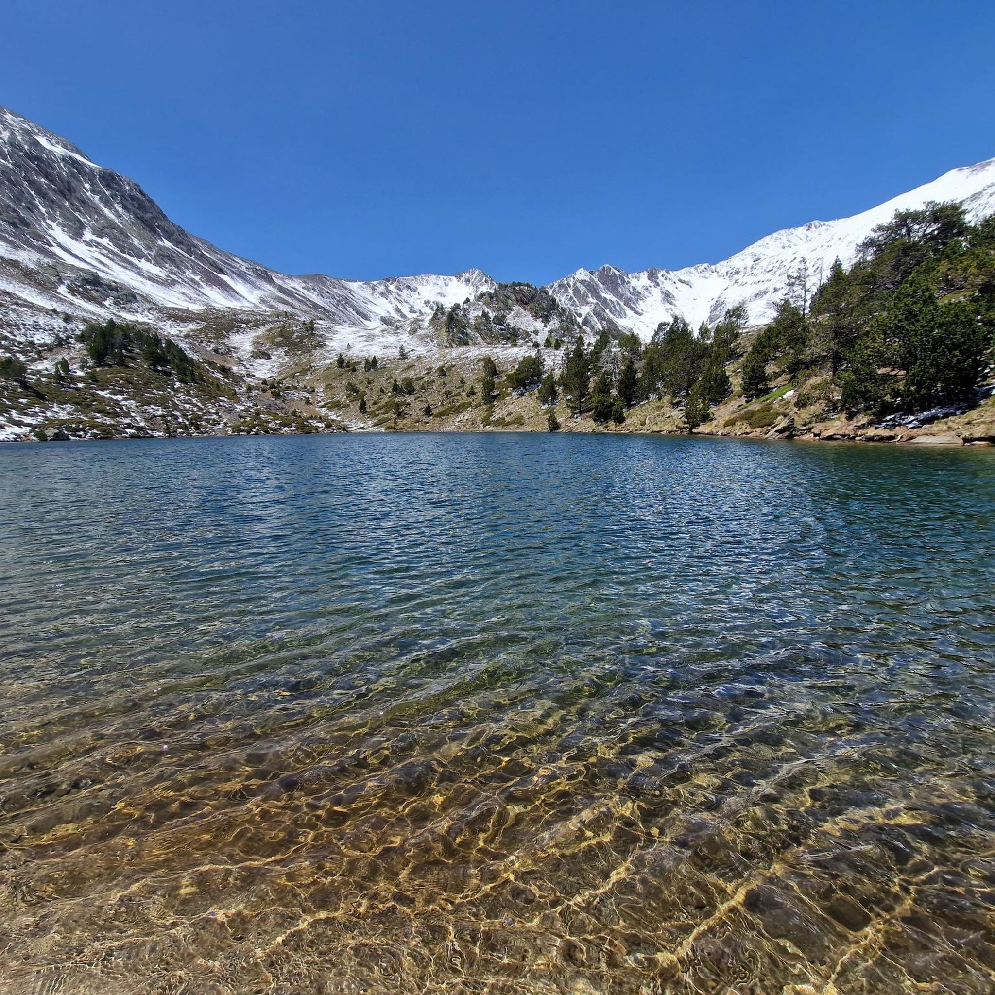
Cycling around Parc Natural Comunal de les Valls del Comapedrosa
MTB Trails around Parc Natural Comunal de les Valls del Comapedrosa

Mountain Hikes around Parc Natural Comunal de les Valls del Comapedrosa

Gravel biking around Parc Natural Comunal de les Valls del Comapedrosa
Tips from the Community

The highest mountain in Andorra is feasible as a day trip from the country. However, one should be careful, some experienced hikers have already gotten lost. 😜 And the way to Spain or France is long... The easiest ascent is rated T3 according to the SAC scale. On the descent, I went a bit off the summit path in a northeastern direction and descended there. A bit more demanding (T4), but in this case, due to the scree in the upper part, it is easier to navigate on the descent. Here I saw some salamanders.
1
0

A hill that forms the border between Andorra and Spain, and from which you can access the Medacorba peak, where these borders meet the French one.
0
0
An easy climb from the French side, although quite difficult. Best done early in the morning.
0
0
Welcome to the roof of Andorra. Ascent without any complexity. You can descend by following the ridge northwards to the pass, and from there continue down the scree slope. The route is easy to follow except for the scree, which requires a bit of improvisation on the way down.
0
0

The highest peak in Andora, at almost 3000 meters. The view is really great in all directions in good weather. At the top you will find a small pyramid with different information. The route from the hut (Coma Pedrosa) to the summit can be strenuous in some places.
3
0

Andorra's highest peak, spectacular views
1
0

A peak along the Coronallacs long distance trail en route to Refugi del Comapedrosa. The highest mountain in Andorra is opposite you.
1
0

Peak highly recommended for its spectacular 360º views, spectacular panoramic view of the pica d'estats. Facing the SO (the easy route) it's very easy and only has a small ridge at the end. Going down the NE is complicated, an infinite lunch box that makes progression difficult with a lot of unevenness. Fantastic
1
0
Frequently Asked Questions
What are the most prominent mountain peaks in Parc Natural Comunal de les Valls del Comapedrosa?
The Parc Natural Comunal de les Valls del Comapedrosa is home to several impressive peaks. The most notable is Coma Pedrosa Summit, Andorra's highest peak. Other significant peaks include Pic de Baiau, Roca Entravessada, and Pic del Clot del Cavall.
What makes Coma Pedrosa Summit a popular destination for hikers?
Coma Pedrosa Summit, at 2,942 meters, offers breathtaking panoramic views across Andorra and into neighboring France and Spain. The ascent traverses diverse ecosystems, from forests to rugged, rocky terrain, and features glacial landscapes with lakes like Estany Negre. There's also a manned refuge, Refugi del Comapedrosa, along the common route from Arinsal.
Are there any peaks that offer unique border views?
Yes, several peaks and passes in the region are located on the border. Portella de Baiau, a mountain pass at 2,757 meters, marks the border between Spain and Andorra and provides stunning views of the Estanys de Baiau (Baiau Lakes). Pic de Baiau itself is also a border peak between Andorra and Spain.
What kind of terrain can I expect when hiking in the Parc Natural Comunal de les Valls del Comapedrosa?
The park features diverse high-mountain scenery. You'll encounter lush red pine and fir forests at lower altitudes, transitioning to high-altitude shrub zones with common juniper. Near the summits, the terrain becomes rugged, rocky, and often snow-covered, exhibiting significant glacial morphology with U-shaped valleys and cirques.
What is the best time of year to visit the mountain peaks in this region?
The most popular time for hiking is during the summer months, typically from late May to late October, when trails are generally clear of snow. During winter, the peaks are covered in snow, offering opportunities for skiing, mountaineering, and ice climbing for those with appropriate experience and gear.
Are there challenging peaks for experienced hikers?
Absolutely. The climb to Coma Pedrosa Summit is strenuous and technically straightforward but involves navigating rocky terrain. Roca Entravessada is known for offering more challenging scrambling or easy rock climbing. Pic del Clot del Cavall and Pic de les Fonts also involve challenging ascents.
Can I find routes suitable for mountain biking near these peaks?
Yes, the area offers mountain biking opportunities. You can explore routes like the 'Refugi del Pla de l'Estany from Arinsal' or the 'House of the Valley – Ós de Civís loop from Arinsal'. For more options, refer to the MTB Trails around Parc Natural Comunal de les Valls del Comapedrosa guide.
Are there any easy hiking options around Parc Natural Comunal de les Valls del Comapedrosa?
While many peaks are challenging, there are easier hiking options in the surrounding area. Examples include the 'Tamarro La Massana loop from Arinsal' or the 'Riu Tristania – Els Homes de Ferro sculptures loop from Arans'. You can find more details in the Easy hikes around Parc Natural Comunal de les Valls del Comapedrosa guide.
What natural features, like lakes, can be seen from the peaks?
The region is rich in glacial features. From many viewpoints, you can see numerous glacial lakes, such as Estany Negre (Black Lake) and Estany de les Truites (Trout Lake) near Comapedrosa. The View of the Baiau Lakes from Portella de Baiau offers a spectacular perspective of the Estanys de Baiau.
What other outdoor activities can I do near the mountain peaks?
Beyond hiking and mountain biking, the region offers various outdoor activities. You can find cycling routes like the 'Ascent to the Arinsal pass' or the 'Engolasters Lake – Collada de Beixalis loop'. For more information on cycling, check the Cycling around Parc Natural Comunal de les Valls del Comapedrosa guide.
Are there any mountain passes worth visiting for their views?
Yes, mountain passes often provide excellent viewpoints. Portella de Baiau is a notable pass offering views of the Baiau Lakes. Another is Collada dels Estanys Forcats, which forms part of the border between Andorra and Spain and provides access to Medacorba peak.
What should I pack for a hike to the mountain peaks in this area?
Given the diverse and often challenging terrain, it's essential to pack appropriate gear. This includes sturdy hiking shoes, layers of clothing for varying temperatures, rain gear, plenty of water (though natural refill points exist near Comapedrosa), and navigation tools. For technical sections, some hikers may also use poles.
Most popular routes around Parc Natural Comunal de les Valls del Comapedrosa
Most popular attractions around Parc Natural Comunal de les Valls del Comapedrosa

Get inspired with the komoot mobile app


