Top 5 Gorges in the Grand Mesa
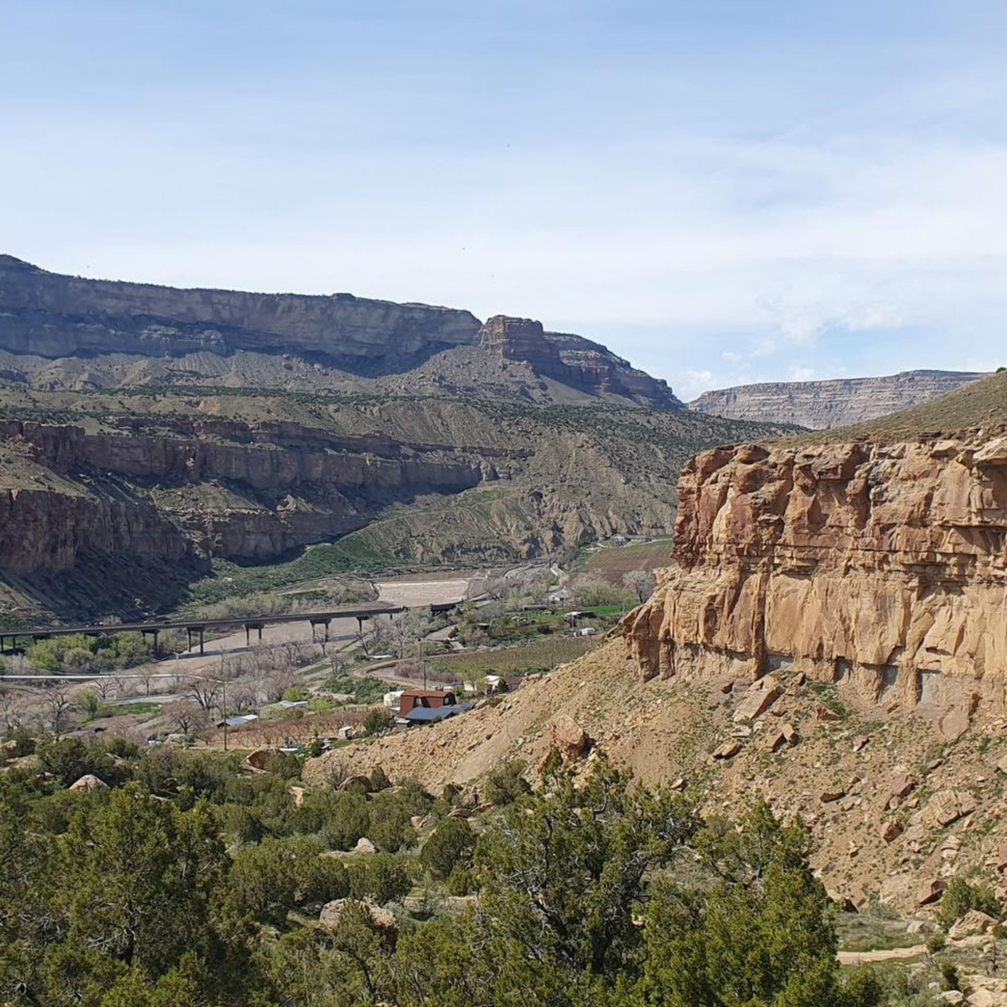
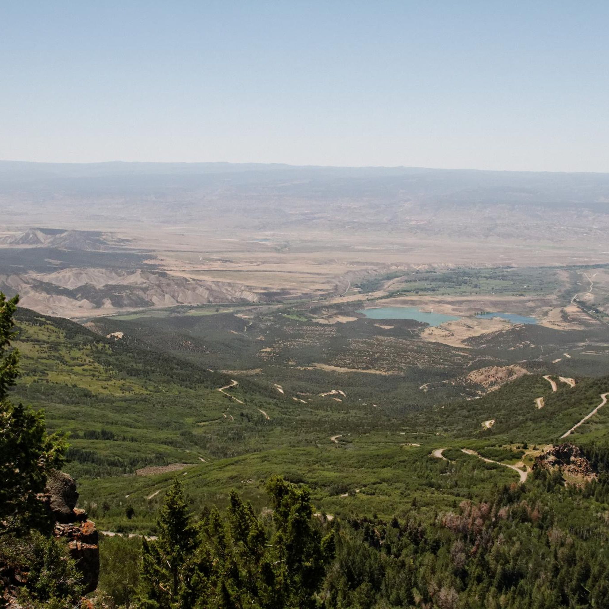
Best canyons in the Grand Mesa are found where the world's largest flat-top mountain transitions into dramatic canyon systems. This high-altitude plateau, formed from ancient lava flows, features surrounding areas with notable canyons carved by geological processes and waterways. These formations provide scenic drives, hiking opportunities, and unique ecological experiences. The canyons offer a dramatic view of the region's geological history.
Best canyons in the Grand Mesa
- The most popular canyons is Palisade Rim (Lower Loop Trail), a trail…
Last updated: October 1, 2026
Roaring Fork River
Highlight • River
Tip by

Palisade Plunge (Final Chute)
Highlight (Segment) • MTB Park
Tip by

Sign up now to discover places like this
Get recommendations on the best single tracks, peaks, & plenty of other exciting outdoor places.
Palisades Rim Lower Loop
Highlight (Segment) • Trail
Tip by

Palisade Rim (Lower Loop Trail)
Highlight • Trail
Tip by
View of the Cliffs on Flowing Park Trail
Highlight (Segment) • Viewpoint
Tip by
Start today with a free account
Your next adventure awaits.
Other adventures in the Grand Mesa

Tips from the Community

The Roaring Fork River is a fast-flowing and crystal-clear tributary of the Colorado River, extending for 70 miles through stunning canyons and valleys. It begins at Independence Lake in the Sawatch Range and winds its way past the towns of Aspen, Basalt, and Carbondale before it merges with the Colorado River in Glenwood Springs. Known for its fast and exciting currents, the river attracts many thrill-seekers and is a prime spot for whitewater rafting.
0
0

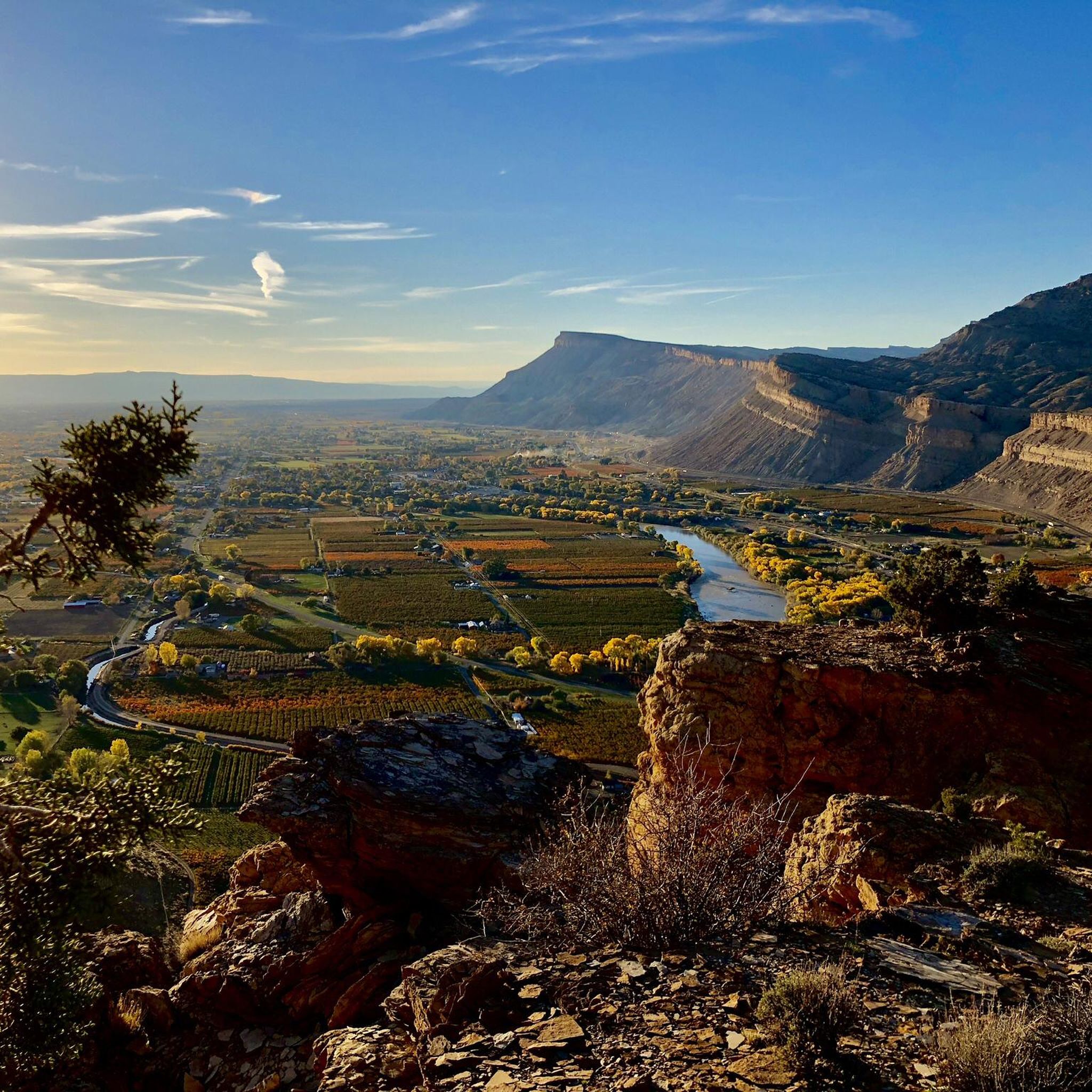
Even though you might be attracted to the pointy shapes (and names) of Indian Point and Point Peninsula, you actually get the most impressive views of the cliffs from the trail itself.
0
0
The Palisades Rim Lower Loop, much like its Upper counterpart, is a very popular trail amongst mountain bikers, so watch out for them even if you have precedence, they sometimes go down very fast!
0
0

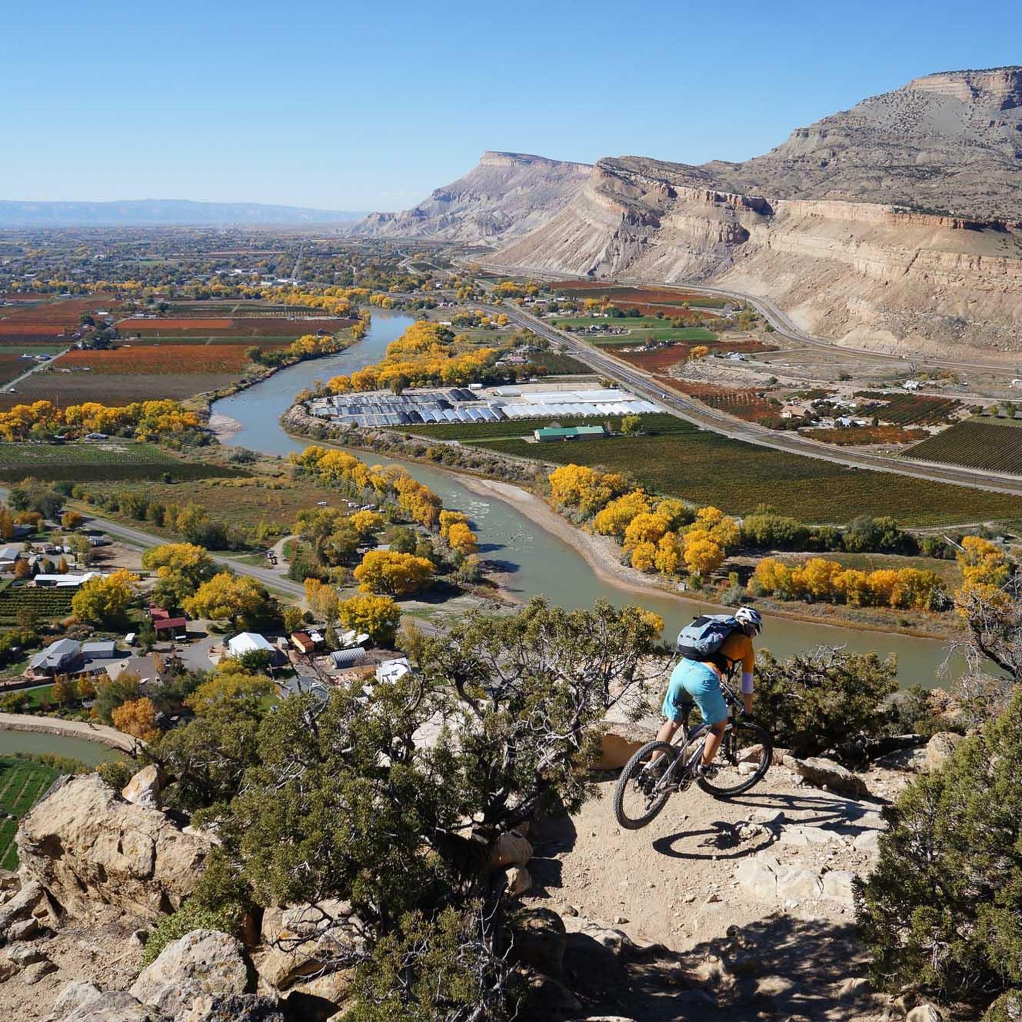
The last five miles are narrow, sandy and right at the edge of a cliff. If you can‘t handle exposed bits and are scared of heights, this section will be extremely challenging. After hitting the chute feature you are almost back in the town of Palisade.
1
0
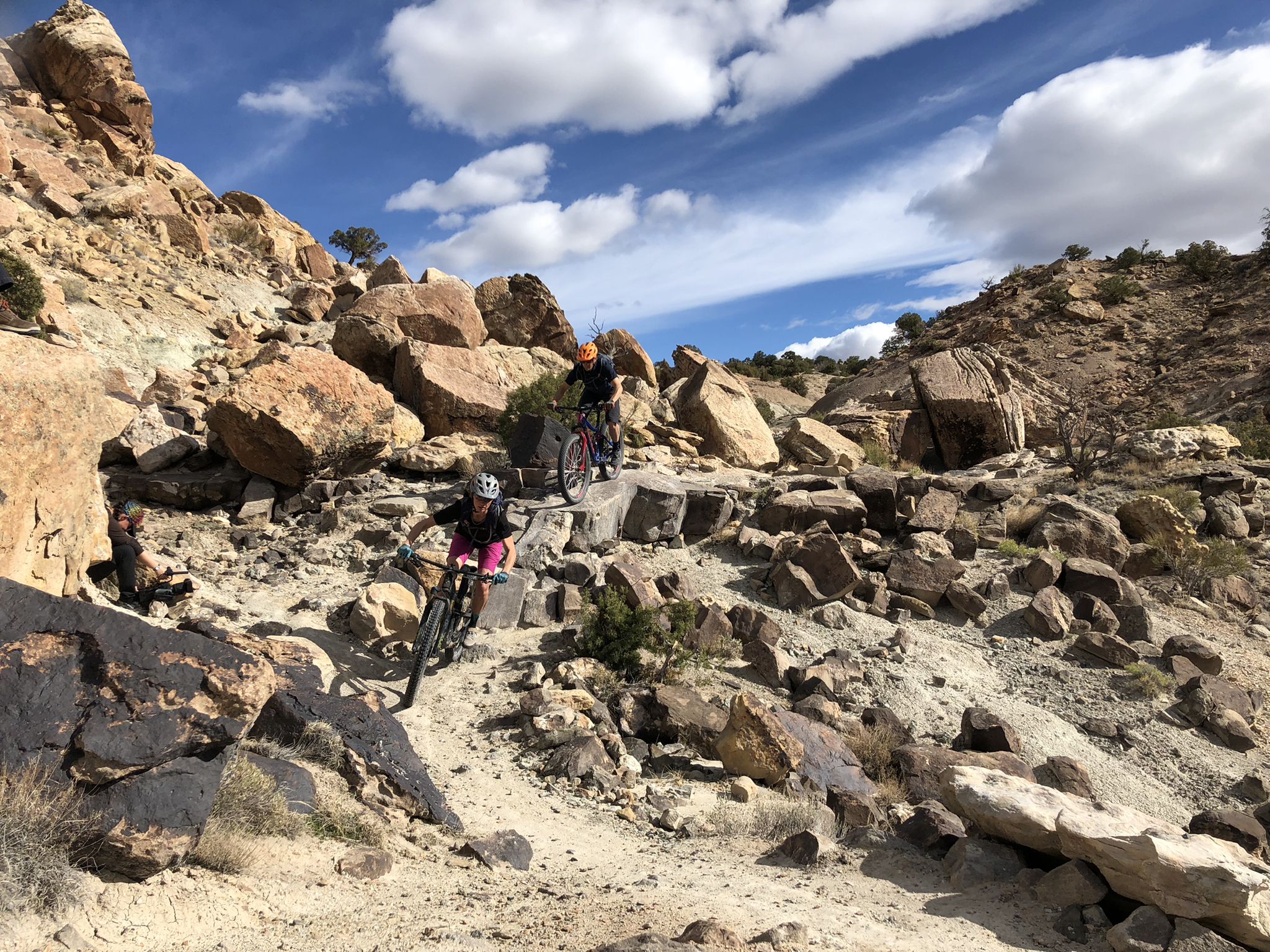
Attention Singletrack-Fans! Don't miss out this trail if you are in the area. Palisade Rim is a quality singletrack that has everything: outstanding views, a lot of exposed sections, techy bits up and down and a sweet descent.
1
0
Frequently Asked Questions
What are some popular canyon trails for hiking in the Grand Mesa area?
For hikers seeking immersive experiences, the Palisade Rim (Lower Loop Trail) offers outstanding views and exposed sections. Another popular option is the Palisades Rim Lower Loop, which is also frequented by mountain bikers. While not strictly a hiking trail, the Roaring Fork River extends through stunning canyons and valleys, attracting visitors with its currents and scenic beauty.
Are there any family-friendly canyon experiences in the Grand Mesa region?
Yes, the Roaring Fork River is categorized as family-friendly, offering a chance to experience the region's natural beauty. Additionally, the Grand Mesa Scenic and Historic Byway, which traverses Plateau Creek Canyon, provides a scenic drive suitable for families to enjoy the diverse landscapes without strenuous hiking.
What is the geological significance of the canyons around Grand Mesa?
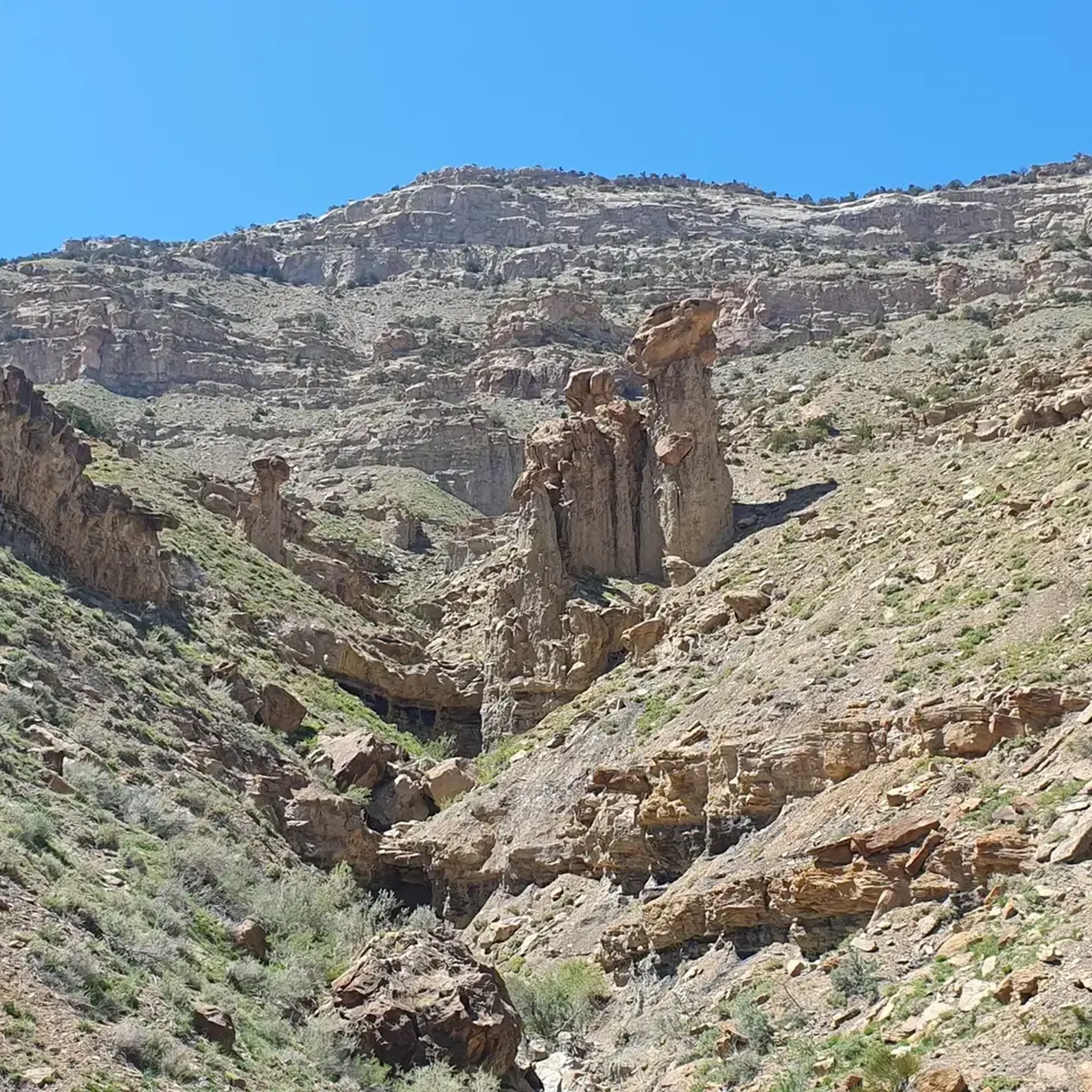
The canyons in the Grand Mesa region offer a dramatic view of the area's geological history. The Grand Mesa itself was formed from ancient lava flows that filled a river canyon, with the more resilient basalt creating the flat-top as softer surrounding sedimentary rocks eroded away. The canyons, like Plateau Creek Canyon, showcase these formations and the diverse ecological zones of Western Colorado.
What kind of views can I expect from the canyons in Grand Mesa?
The canyons provide breathtaking views. For instance, the View of the Cliffs on Flowing Park Trail offers impressive vistas of the surrounding cliffs. The Grand Mesa Scenic and Historic Byway through Plateau Creek Canyon also provides panoramic views as you ascend to the mesa, with some sections offering glimpses of the Colorado National Monument and the Book Cliffs.
What is the best time to visit the canyons in the Grand Mesa area?
The canyons in the Grand Mesa area are generally best visited during warmer months when roads are clear and trails are accessible. The Grand Mesa Scenic and Historic Byway is particularly rewarding for its scenic transition from desert canyons to alpine environments, which is best experienced when the byway is fully open, typically from late spring through fall. Winter can bring snow and seasonal closures, especially at higher elevations.
Are there any challenging canyon trails for experienced hikers or mountain bikers?
Yes, for those seeking a challenge, the Palisade Plunge (Final Chute) is a challenging mountain biking trail with narrow, sandy, and exposed sections right at the edge of a cliff. The Palisade Rim (Lower Loop Trail) also features technical bits both uphill and downhill, appealing to singletrack fans.
What outdoor activities can I do near the Grand Mesa canyons?
Beyond exploring the canyons themselves, the Grand Mesa area offers a wide range of outdoor activities. You can find numerous hiking opportunities, including easy routes like County Line Dog Loop or Marion Gulch, as detailed in the Hiking in the Grand Mesa guide. For gravel biking, routes like the Carbondale loop via Rio Grande Trail are available, as highlighted in the Gravel biking in the Grand Mesa guide.
Are dogs allowed on trails in the Grand Mesa canyons?
Many trails in the Grand Mesa National Forest are dog-friendly. For example, the Roaring Fork River area is listed as dog-friendly. Always check specific trail regulations before heading out, as rules can vary, and ensure your dog is on a leash.
Where can I find information about parking and permits for Grand Mesa National Forest canyons?
Parking availability varies by trailhead. While specific permit requirements for canyon hiking are generally not extensive, it's always advisable to check with the Grand Mesa, Uncompahgre and Gunnison National Forests service for the latest information on parking, permits, and any potential fees, especially for specific recreational activities or overnight stays. For general information about the Grand Mesa Scenic and Historic Byway, you can visit codot.gov.
What wildlife might I encounter in the Grand Mesa canyons?
The diverse ecosystems of the Grand Mesa and its surrounding canyons support a variety of wildlife. Visitors might spot moose, deer, elk, and various bird species. The Box Canyon Falls area, part of the broader Grand Mesa, Uncompahgre and Gunnison National Forests, is recognized as a significant bird area, hosting species like Black Swifts.
Are there any scenic drives that go through the canyons of Grand Mesa?
Yes, the Grand Mesa Scenic and Historic Byway (CO-65) offers a spectacular drive through canyon landscapes. It climbs through Plateau Creek Canyon from I-70, traversing 6,000 feet skyward from desert sandstone canyons to evergreen forests and alpine environments. This byway is an excellent way to experience the diverse ecological zones and dramatic scenery of the region. More information can be found on visitgrandjunction.com.
Most popular routes in the Grand Mesa
Most popular attractions in the Grand Mesa

Get inspired with the komoot mobile app


Explore more
Already discovered everything in this region? See additional gorges in the Grand Mesa for your next adventure:
