The best running trails in the Grand Mesa
5.0
(8)
431
runners
75
runs
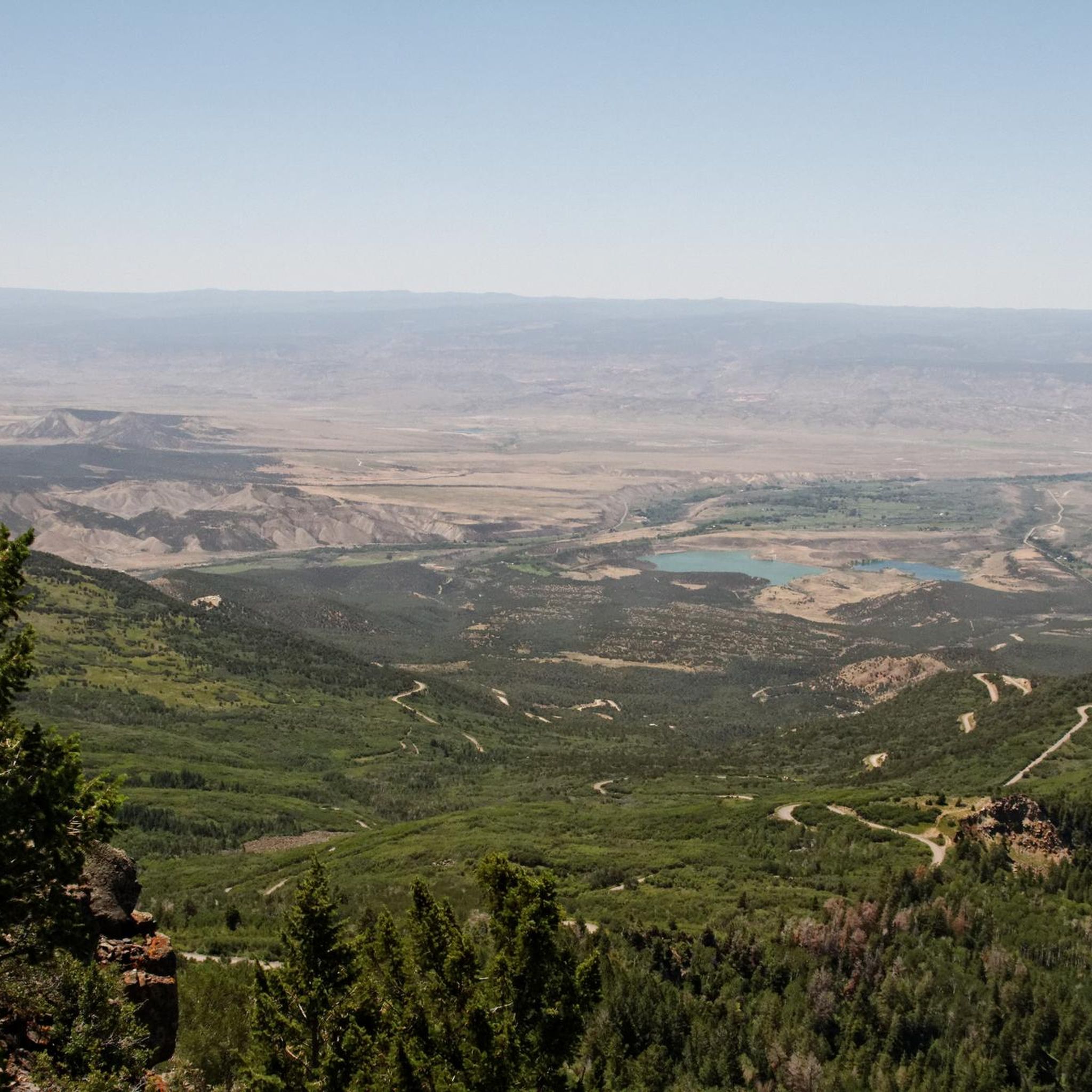
Jogging in the Grand Mesa offers diverse terrain across the world's largest flat-top mountain, rising over 10,000 feet above sea level. This unique plateau features more than 300 alpine lakes, dense forests of spruce, fir, and aspen, and vibrant meadows. The region's varied habitats support abundant wildlife, providing a scenic backdrop for running routes.
Best jogging routes in the Grand Mesa
- The most popular jogging route is Lost Lake Trail, a 2.7 miles (4.4 km) trail that takes about…
Last updated: October 10, 2026
11
runners
5.67km
01:07
510m
510m
The Mount Garfield Trail offers a direct and demanding ascent, rewarding your efforts with expansive views from the Mount Garfield Summit View. This route is all about the climb, with…
3
runners
4.37km
00:32
90m
90m
The Lost Lake Trail offers a serene jogging experience, winding through a pleasant landscape centered around the tranquil waters of Lost Lake and nearby Mesa Lake. This easy route is…

1
runners
9.52km
01:10
90m
90m
The West Bench Trail provides a solid jogging experience, offering a moderate 5.9 miles (9.5 km) with 304 feet (93 metres) of elevation gain. You can expect to complete this…
18.7km
02:20
210m
210m
The Main Canyon Trail offers a substantial workout for joggers, winding through a challenging landscape that demands endurance. You'll cover 11.6 miles (18.7 km) with 700 feet (213 metres) of…
5.0
(1)
16
runners
Moderate run. Good fitness required. Mostly paved surfaces. Suitable for all skill levels.
16
runners
7.10km
01:04
230m
230m
Hard run. Good fitness required. Sure-footedness, sturdy shoes and alpine experience required.
9
runners
15.1km
01:34
30m
30m
Hard run. Very good fitness required. Mostly paved surfaces. Suitable for all skill levels.
8
runners
5.54km
00:35
40m
40m
Moderate run. Good fitness required. Mostly paved surfaces. Suitable for all skill levels.
4
runners
5.16km
00:32
20m
20m
Moderate run. Good fitness required. Mostly paved surfaces. Suitable for all skill levels.
4
runners
5.15km
00:32
20m
20m
Moderate run. Good fitness required. Mostly paved surfaces. Suitable for all skill levels.
Get access to more routes and recommendations from other explorers.
Already have an account?
Our route recommendations are based on thousands of hikes, rides, and runs completed by other people on komoot.
Start today with a free account
Your next adventure awaits.
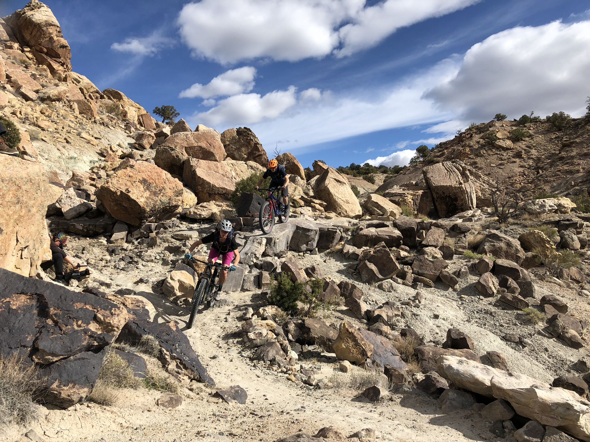
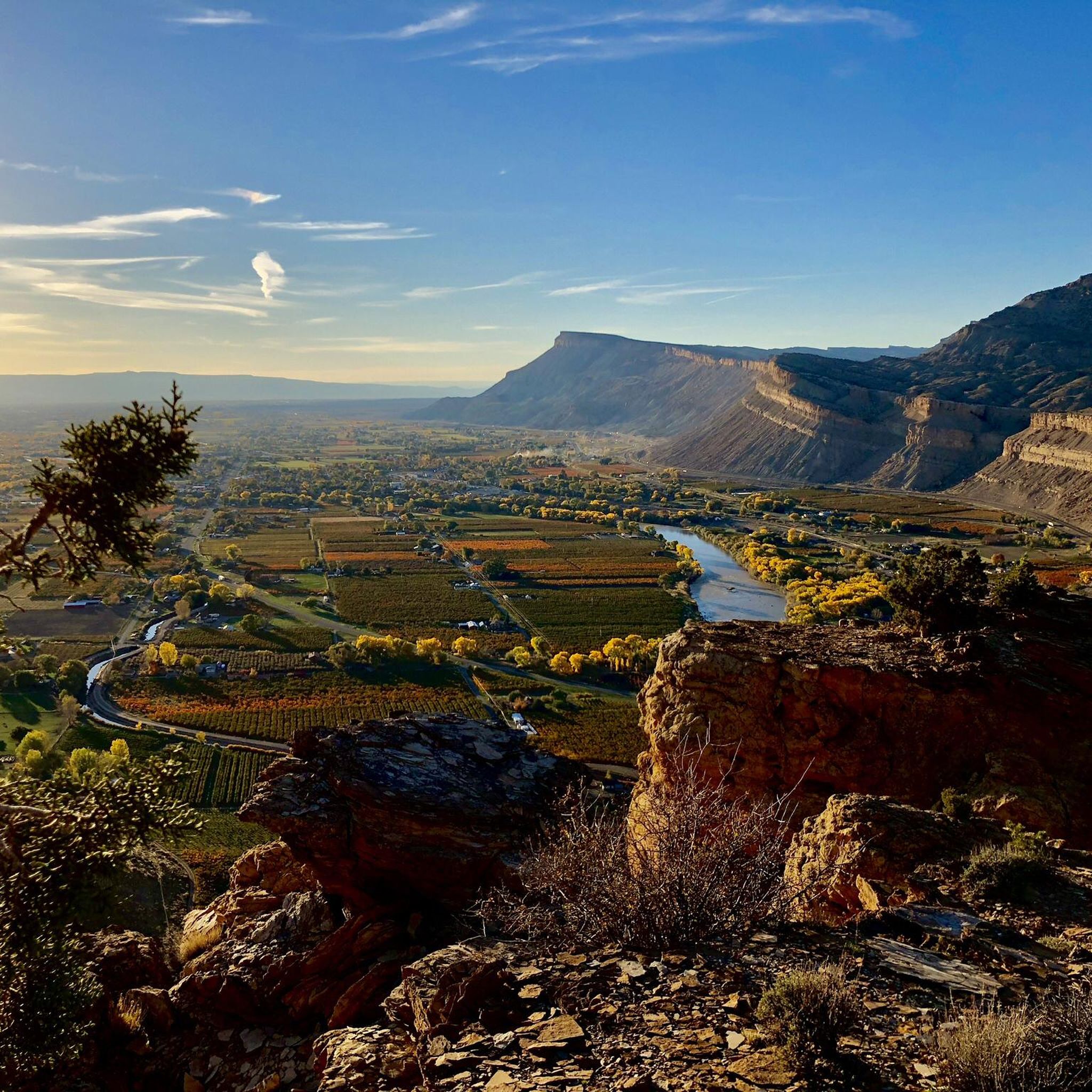
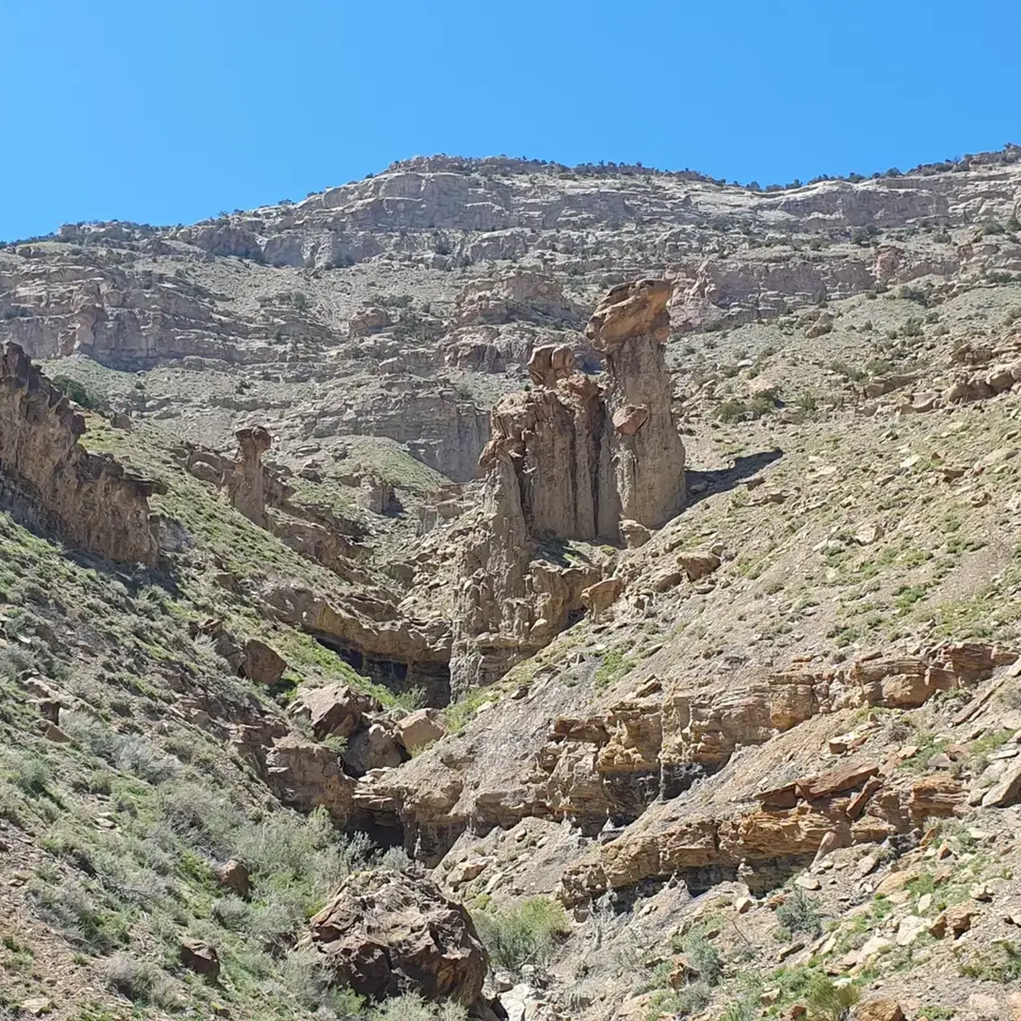
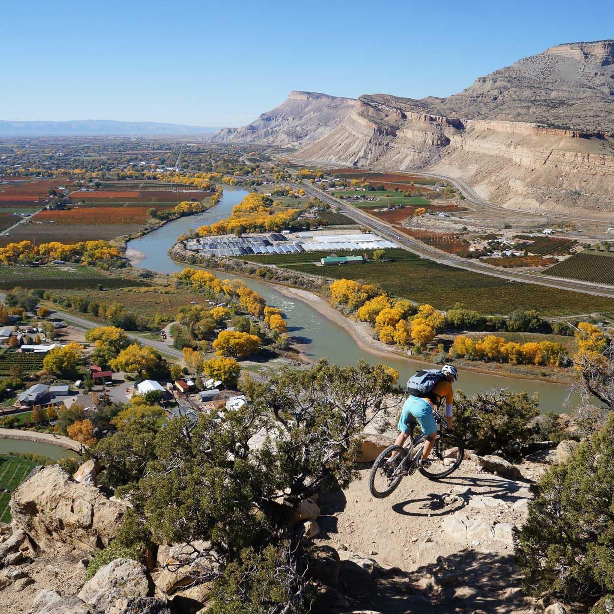
Other adventures in the Grand Mesa

Tips from the Community

From this pedestrian bridge, you can enjoy a view above the Roaring Fork River. Here is the connection between the Rio Grande Trail and the Atkinson Canal Trail. This is an easy walk/bike trail that runs alongside the river. Rio Grande Trail connects Glenwood Springs to Aspen, so you can choose your distance and go for as long as you like.
0
0
The Riverfront Trail is a paved path that runs alongside the Colorado River, passing several lakes, including Corn Lake. It offers beautiful views of the surrounding mountains and is known for its rich wildlife, while riding you might spot various bird species, including blue herons.
1
0
From this pedestrian bridge, you can enjoy a view above the Roaring Fork River. Here is the connection between the Rio Grande Trail and the Atkinson Canal Trail. This is an easy walk/bike trail that runs alongside the river. Rio Grande Trail connects Glenwood Springs to Aspen, so you can choose your distance and walk for as long as you like.
0
0

The Clifton Nature Park is a local favorite in Grand Junction Colorado, accessible either via D Road or the bike trail. This park is wheelchair friendly with many paved paths, a pond with fishing piers, and a nature trail along the river for walking and hiking. There are also many sitting and picnic areas as well as bathrooms for you to use. This is a great place to stop as you walk down the bike path and look for birds and other animals.
0
0
The Clifton Nature Park is a local-favorite in Grand Junction Colorado, accessible either via D Road or the bike trail. This park is wheelchair friendly with many paved paths, a pond with fishing piers, and a nature trail along the river for walking and hiking. There are also many sitting and picnic areas as well as bathrooms for you to use. This is a great place to stop as you ride down the bike path and look for birds and other animals.
0
0

The West Bench Trail is popular with hikers and runners and is used by cross-country skiers in the winter. The path is not too challenging and passes through a variety of landscapes including forests and meadow.
0
0

Main Canyon is a very cool trail that has unique rock formations. Since it is in a canyon, you have large rock walls on both sides that long horn sheep love to navigate.
0
0

This is a great place to park to access the bike path along the Colorado River through Glenwood Canyon. There are restrooms, river access, and shaded green space at the park.
0
0
Frequently Asked Questions
What types of running trails can I expect in the Grand Mesa?
The Grand Mesa offers a diverse range of running trails, from easy, relatively flat paths to challenging routes with significant elevation gains. As the world's largest flat-top mountain, it features over 300 alpine lakes, dense forests of spruce, fir, and aspen, and vibrant meadows, providing varied terrain for all levels of runners. You'll find options suitable for a gentle jog or a strenuous trail run.
Are there any easy running routes suitable for beginners or families in the Grand Mesa?
Yes, the Grand Mesa has several easy running routes perfect for beginners or families. For instance, the Lost Lake Trail is an easy 2.7-mile path offering scenic views of Lost Lake and Mesa Lake. Another gentle option is the Running loop from Cedaredge, which is an easy 4.5 km route.
Where can I find challenging running routes with significant elevation in the Grand Mesa?
For those seeking a challenge, the Grand Mesa offers several difficult running routes. The Mount Garfield Trail is a difficult 5.7 km route with over 500 meters of elevation gain. Another demanding option is the Palisades Rim Lower Loop loop from Palisade Rim Trailhead, which is 5.7 km with 180 meters of ascent.
What are some scenic points or natural features I can see while jogging in the Grand Mesa?
Jogging in the Grand Mesa offers breathtaking scenery. You'll encounter over 300 pristine alpine lakes, dense forests, and vibrant meadows. Many routes provide views of these natural wonders. For example, the Lost Lake Trail offers views of Mesa Lake and Lost Lake. The region is also known for its diverse wildlife, including moose, deer, and elk.
Are there any loop or circular running routes in the Grand Mesa?
Yes, there are several excellent loop running routes available. The Two Rivers Park loop from Sopris Elementary School is a moderate 11.6 km circular route. Another great option is the View of Roaring Fork River loop from Sopris Elementary School, a moderate 5.5 km loop.
What is the best time of year to go running in the Grand Mesa?
The Grand Mesa offers beautiful conditions for running during different seasons. Summer and fall are particularly popular, with lush forests, colorful wildflowers, and changing foliage. The high elevation provides a refreshing escape from heat. While winter running is possible, be prepared for snow and colder temperatures, as the mesa rises over 10,000 feet above sea level.
What do other runners say about their experience jogging in the Grand Mesa?
The running routes in Grand Mesa are highly rated by the komoot community, with an average score of 5.0 stars from 4 reviews. Over 300 runners have used komoot to explore the varied terrain, often praising the stunning natural beauty, the refreshing high-altitude environment, and the diverse options for different skill levels.
Are there any running routes where I might spot wildlife?
The varied habitats of the Grand Mesa support abundant wildlife, making it possible to spot animals like moose, deer, and elk on many trails. The Main Canyon Trail, an 11.6-mile difficult path, is particularly known for its wild horses, offering a unique wildlife viewing opportunity.
How many running routes are available in the Grand Mesa?
There are over 10 dedicated running routes documented in the Grand Mesa, catering to various difficulty levels. These include 2 easy, 4 moderate, and 4 difficult options, ensuring there's a suitable path for every runner.
Are there any specific trails that offer views of the wider Grand Mesa landscape?
Many trails offer expansive views of the Grand Mesa's unique landscape. The West Bench Trail, a moderate 9.5 km route, provides varied terrain and scenic vistas. For a truly panoramic experience, the Crag Crest Trail (not a komoot tour in this guide, but a well-known trail) traverses the narrow ridge at the mesa's highest point, offering spectacular 360-degree views.
Are there any trails near the Grand Mesa Visitor Center?
Yes, near the Grand Mesa Visitor Center, you can find trails like the Mesa Top Trail, an easy 2-mile interpretive trail. While not a komoot route in this guide, it's ideal for those adjusting to the elevation and looking for an accessible run with educational displays about the mesa's geology and ecology.
Can I find running routes that are part of a larger scenic drive?
The Grand Mesa Scenic and Historic Byway, a 63-mile drive, offers stunning vistas and access points to many trails. While you can't run the byway itself, it provides a beautiful way to reach various trailheads. For example, the Running loop from Westwood Estates is a moderate 5.6 km route that allows you to explore the area's beauty.
Most popular routes in the Grand Mesa
Most popular attractions in the Grand Mesa

Get inspired with the komoot mobile app


Explore more
Browse the best Running Trails & Routes in other regions.
