The 4 Most Amazing Peaks around Berschweiler bei Kirn
Best mountain peaks around Berschweiler bei Kirn are found within a region characterized by wooded landscapes and rolling hills. The municipality itself sits at an elevation of 415 meters, with a significant portion of its area covered by woodland. While not featuring prominent, named mountain peaks in the traditional sense, the area offers elevated terrain and extensive hiking trails. It is integrated into larger hiking networks and is recognized as a National Park community, bordering the Hunsrück-Hochwald National Park.
Best…
Last updated: May 14, 2026
Wildenburg Observation Tower
Highlight • Viewpoint
nlphh.de/blog/wildenburg-turm-vorerst-gesperrt-wegen-schaeden
Translated by Google •
Tip by

Hexentanzplatz on the Wildenburger Kopf
Highlight • Natural Monument
The plateau was part of a Celtic fortress.
Translated by Google •
Tip by
Sign up now to discover places like this
Get recommendations on the best single tracks, peaks, & plenty of other exciting outdoor places.
Sign up for free
Ballenberg Summit (506 m)
Highlight • Summit
Translated by Google •
Tip by

View of Idarkopf
Highlight • Viewpoint
Translated by Google •
Tip by

View from Staufenbergskopf
Highlight • Viewpoint
Translated by Google •
Tip by

Start today with a free account
Your next adventure awaits.
Login or Signup

Tips from the Community

This legendary place lies between gnarled trees and jagged rocks – with a simple wooden sign, yet a mystical aura. The name "Witches' Dance Ground" lends the scene a very unique atmosphere, which is particularly intense in the frosty winter. A quiet, slightly eerie place with a sense of historical magic. 💡 Tip 🔮 Stand for a moment in the middle of the square – history can almost be felt in the quiet snow.
1
1

Here you have a beautiful view of the striking mountain, which at 746 meters is one of the highest peaks in the region.
1
0

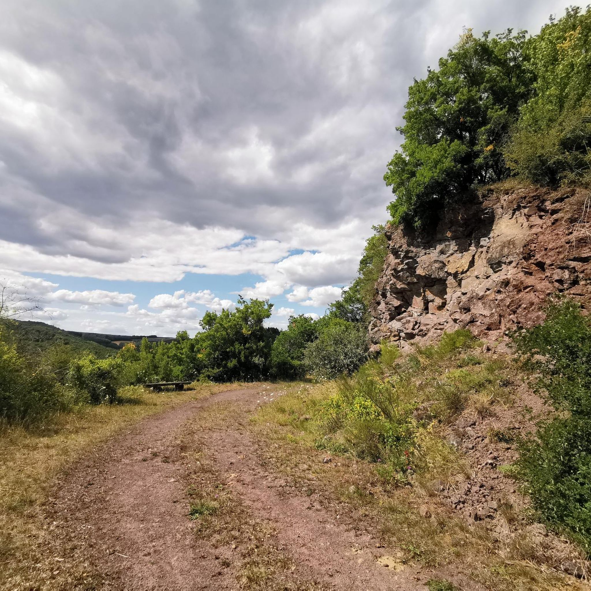
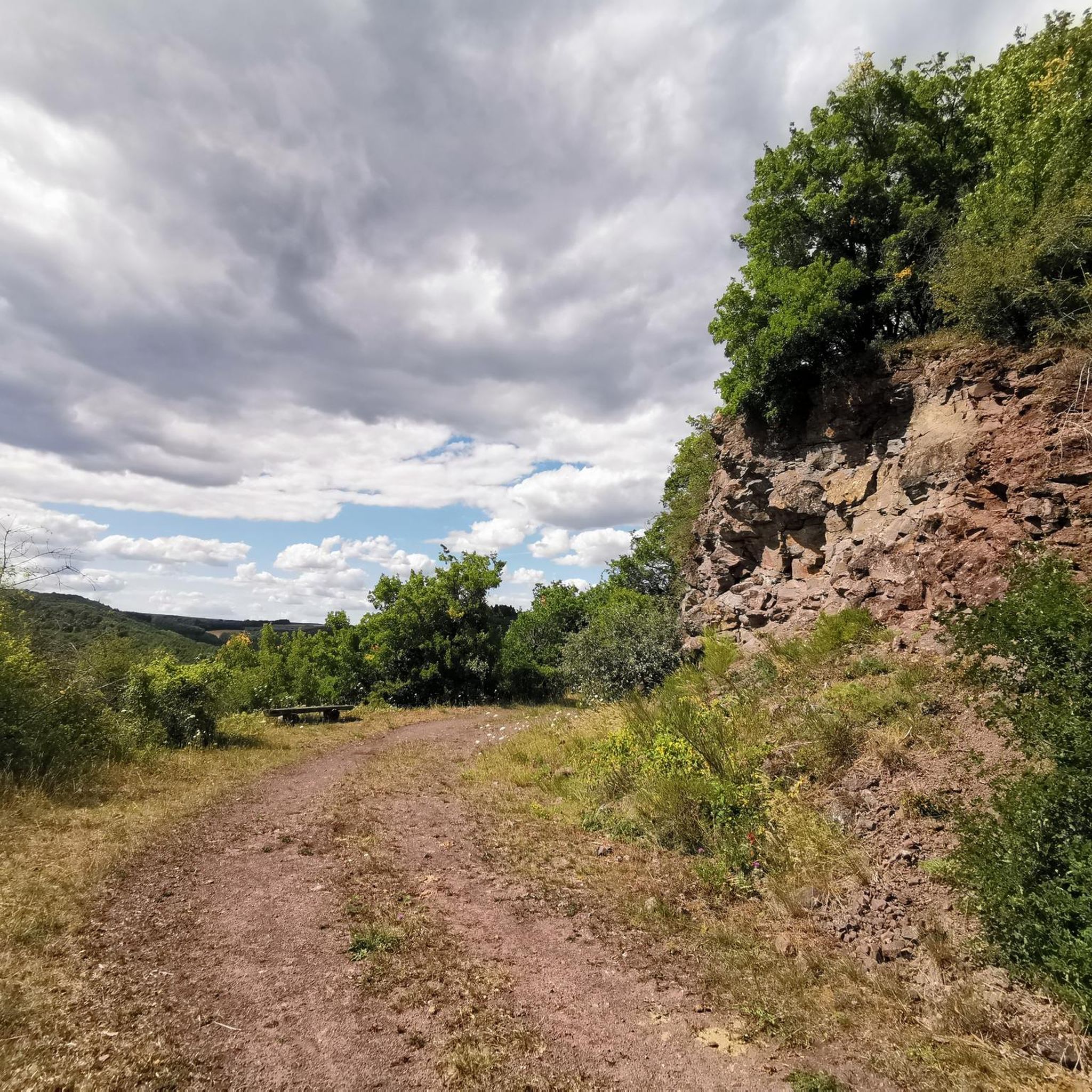
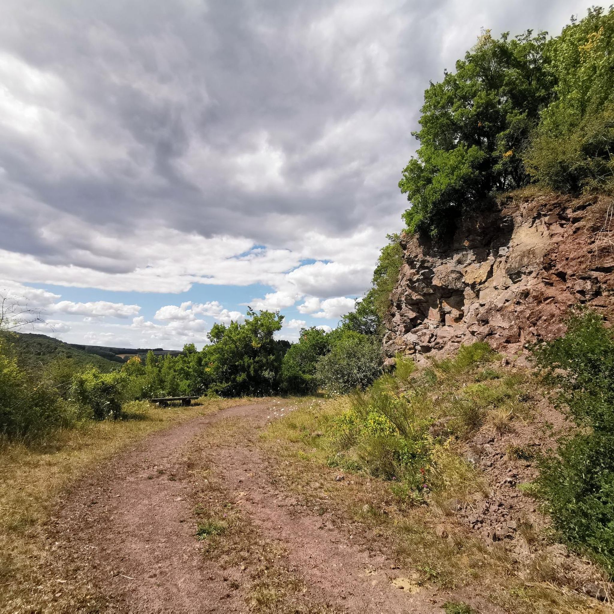
Place in front of a rock wall. There are also witches' dance places elsewhere, for example in the Harz and near Annweiler.
1
0

This is where it starts to hurt on the Juwel CTF ;-)
0
0

There are two medieval neck moats on the Wildenburger Kopf, which effectively cut through the plateau. This is where the Hexentanzplatz is located. The name comes from the vernacular. Certainly or probably this has its origin in old cults from the Middle Ages.
2
0

From here it is not far to the tower.
2
0

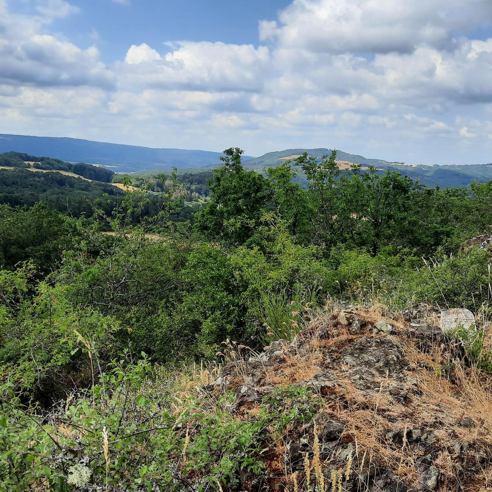
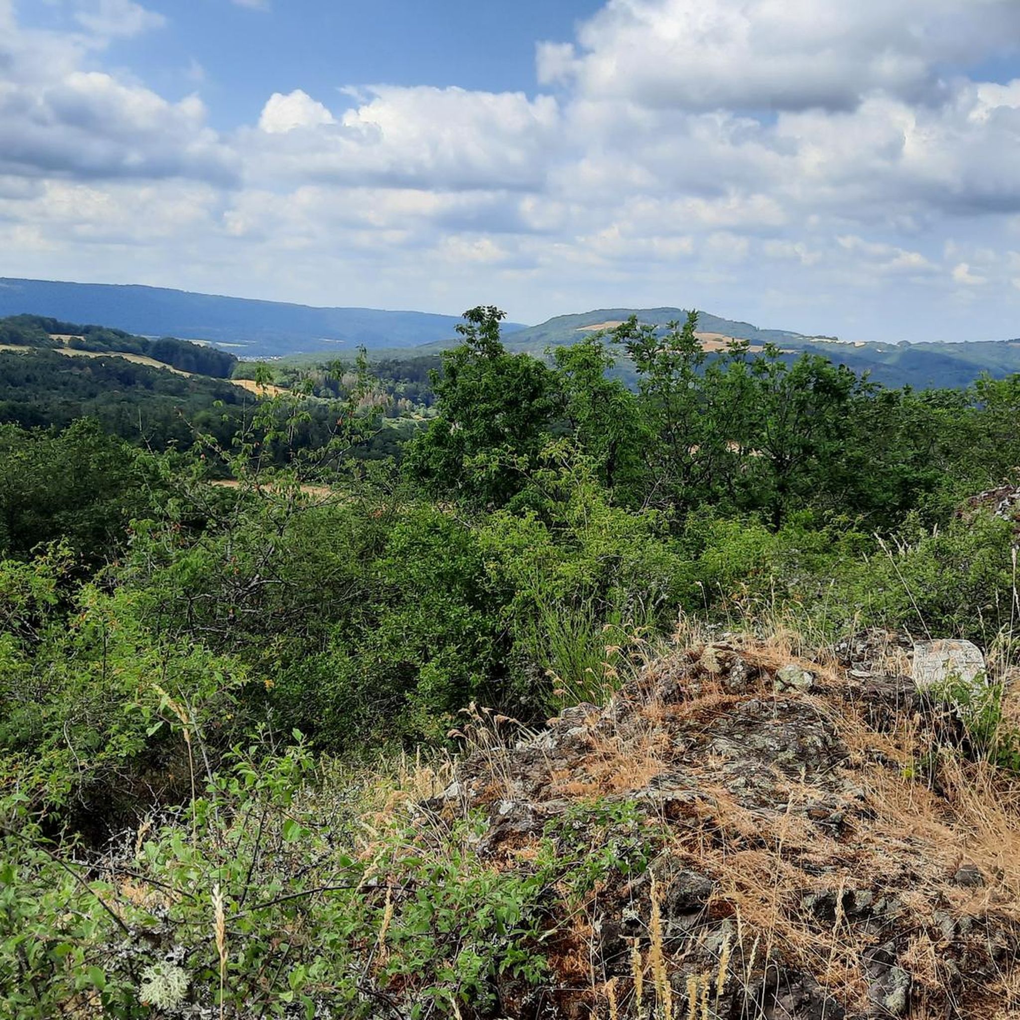
There is no direct view from the 506 m above sea level Ballenberg summit (also called Ballenhubel), but the vegetation opens up along the path from time to time and allows a view over the Hunsrück hills.
1
0

Highest point in the vicinity. A few moderately interesting trails lead towards Georg Weierbach.
1
0
Frequently Asked Questions
What kind of elevated points and viewpoints can I explore around Berschweiler bei Kirn?
While Berschweiler bei Kirn is characterized by rolling hills and woodlands rather than traditional sharp mountain peaks, the region offers several elevated spots and viewpoints. You can visit the Wildenburg Observation Tower, which provides panoramic views from its 15-meter-high platform (note: the tower is currently closed due to damage). Another popular spot is the View of Idarkopf, offering clear vistas of the Idarkopf mountain. For a different perspective, the View from Hellberg presents sights of Hochstetten-Dhaun and a quarry.
Are there any historical sites or natural monuments among the elevated points?
Yes, the region combines natural beauty with historical significance. The Wildenburg Observation Tower is built on the Wildenburger Kopf hill, which was once home to the highest castle in the Hunsrück region. Nearby, the Hexentanzplatz on the Wildenburger Kopf is a natural monument and a mystical site that was once part of a Celtic fortress. The View of Idarkopf is also recognized as a natural monument.
What is the highest point directly in the vicinity of Berschweiler bei Kirn?
The highest point directly in the vicinity is the Ballenberg Summit (506 m). While there isn't a direct panoramic view from the very top, the paths leading to and from it occasionally open up to offer views over the Hunsrück hills.
What outdoor activities can I do near these elevated points?
The region around Berschweiler bei Kirn is excellent for various outdoor activities, especially hiking, running, and cycling. You can find extensive networks of trails that traverse the wooded hills. For mountain biking, explore routes like the 'Small Pond – Mahlbergkopf loop' or 'Oberstein Pedestrian Zone – Krechenfels loop' from the MTB Trails around Berschweiler bei Kirn guide. Gravel biking options include the 'View from Limbacher Höhe – View of Meckenbach loop' from the Gravel biking around Berschweiler bei Kirn guide. For running, consider the 'Kyrburg Castle loop' or 'View of Hellberg loop' from the Running Trails around Berschweiler bei Kirn guide.
Are there family-friendly options for exploring the elevated areas?
Yes, several spots are suitable for families. The Wildenburg Observation Tower area, when open, is part of a larger complex that includes a wildlife enclosure where children can see red deer, wild boars, and even a wolf pack. The View of Idarkopf is also considered family-friendly, offering a beautiful view of the prominent mountain.
What is the Hunsrück-Hochwald National Park, and how close is it to Berschweiler bei Kirn?
Berschweiler bei Kirn is recognized as a National Park community, with the border of the Hunsrück-Hochwald National Park just 6 kilometers away. This proximity offers further opportunities for nature exploration, extensive hiking, and experiencing the region's diverse woodlands and natural environment.
What kind of hiking trails can I expect in the area?
The region is integrated into larger hiking networks, including the Saar-Hunsrück-Steig and various 'Traumschleifen' (dream loops). These premium circular hiking trails are known for their natural beauty and varied terrain, often leading through forests, past impressive rock formations, and along river valleys, providing picturesque vistas from elevated points. The Nahesteig, a 35-kilometer trail, also offers moderate to difficult sections with impressive landscapes and views.
What do visitors enjoy most about the elevated points and trails around Berschweiler bei Kirn?
Visitors particularly appreciate the panoramic views from observation towers and natural viewpoints, the extensive network of well-maintained hiking trails, and the opportunity to explore the rich natural environment of the Hunsrück-Hochwald National Park. The blend of natural beauty with historical sites like the Wildenburg Castle ruins also adds to the appeal.
Are there any challenging routes for experienced hikers or cyclists?
Yes, the region offers routes for various skill levels. For hikers, sections of the Nahesteig are described as moderate to difficult, featuring steep rock faces. For cyclists, the MTB Trails around Berschweiler bei Kirn guide includes difficult routes like the 'Bridge Houses in Bad Kreuznach – Niederhausen Dam loop'. Similarly, the Gravel biking around Berschweiler bei Kirn guide features challenging options such as the 'View from Limbacher Höhe – View of Meckenbach loop'.
Can I find trails suitable for dogs around the elevated areas?
The extensive network of hiking and running trails throughout the wooded hills and natural areas generally welcomes dogs. Many of the 'Traumschleifen' and trails within the Hunsrück-Hochwald National Park are dog-friendly, offering ample space for walks. Always ensure your dog is on a leash where required and respect local wildlife.
What is the best time of year to visit Berschweiler bei Kirn for outdoor activities?
The region is beautiful year-round, but spring and autumn are particularly popular for hiking and cycling due to milder temperatures and vibrant foliage. Spring brings blooming wildflowers, while autumn offers stunning colors in the extensive woodlands. Summer is also great for outdoor activities, though it can be warmer. Winter can offer unique experiences for those prepared for colder weather and potentially snowy trails.
Are there any unique historical experiences in the broader vicinity?
Beyond the natural viewpoints, the broader vicinity of Berschweiler bei Kirn is rich in history. You can explore the historic Old Town of Herrstein or visit the Schmidtburg Castle Ruins. A unique experience is even camping within the foundations of the Schmidtburg Castle Ruins, offering a glimpse into the past.
Most popular routes around Berschweiler bei Kirn
Most popular attractions around Berschweiler bei Kirn

Get inspired with the komoot mobile app


Explore more
See even more amazing summits around Berschweiler bei Kirn with these guides:
