The best road cycling routes around Berschweiler bei Kirn
4.6
(125)
1,755
riders
173
rides
Road cycling routes around Berschweiler bei Kirn are situated on a high plateau, approximately 420 meters above sea level, within the Rhineland-Palatinate region of Germany. The terrain features a varied and well-wooded low mountain range, characterized by rolling hills, idyllic river valleys, and extensive forests. Nearly half of the municipal area is forested, providing a tranquil environment for cycling. The region's proximity to the Hunsrück-Hochwald National Park and the Nahetal offers diverse landscapes for road cyclists.
Best road cycling routes around Berschweiler bei Kirn
- The most popular road cycling route is Erbeskopf climb to the highest mountain in Rhineland-Palatinate, a 72.3 miles (116.3 km) trail that takes 6 hours 14 minutes to complete. This difficult route features significant elevation gain through the region's varied landscape.
- Another top favourite among local road cyclists is Everything flows between Nahe and Glan, a difficult 56.2 miles (90.4 km) path. This route navigates between the Nahe and Glan rivers, offering diverse scenery and challenging ascents.
- Local road cyclists also love the Old Stone Bridge over the Nahe – Glan Bridge near Rehborn loop from Kirnsulzbach, a 38.7 miles (62.2 km) trail leading through river valleys and past historical points, often completed in about 2 hours 42 minutes.
- Road cycling around Berschweiler bei Kirn is defined by its high plateau, rolling hills, and extensive forests, with routes traversing river valleys like the Nahe. The network offers options for easy, moderate, and difficult ability levels.
- The routes in Berschweiler bei Kirn are highly rated by the komoot community with an average score of 4.6 stars from over 115 reviews. More than 1,700 road cyclists have used komoot to explore Berschweiler bei Kirn's varied terrain.
Last updated: July 2, 2026
4.5
(2)
32
riders
116km
06:14
1,950m
1,950m
Hard road ride. Very good fitness required. Mostly well-paved surfaces and easy to ride.
21
riders
90.4km
04:33
1,180m
1,180m
Hard road ride. Very good fitness required. Mostly well-paved surfaces and easy to ride.

Sign up for free
109km
09:00
1,750m
1,750m
Hard gravel ride. Very good fitness required. Some segments of this route may be unpaved and difficult to ride.
4.8
(11)
54
riders
Moderate road ride. Good fitness required. Mostly well-paved surfaces and easy to ride.
22
riders
75.2km
03:28
850m
850m
Moderate road ride. Good fitness required. Mostly well-paved surfaces and easy to ride.
Get access to more routes and recommendations from other explorers.
Sign up for free
Already have an account?
Our route recommendations are based on thousands of hikes, rides, and runs completed by other people on komoot.
Start today with a free account
Your next adventure awaits.
Login or Signup
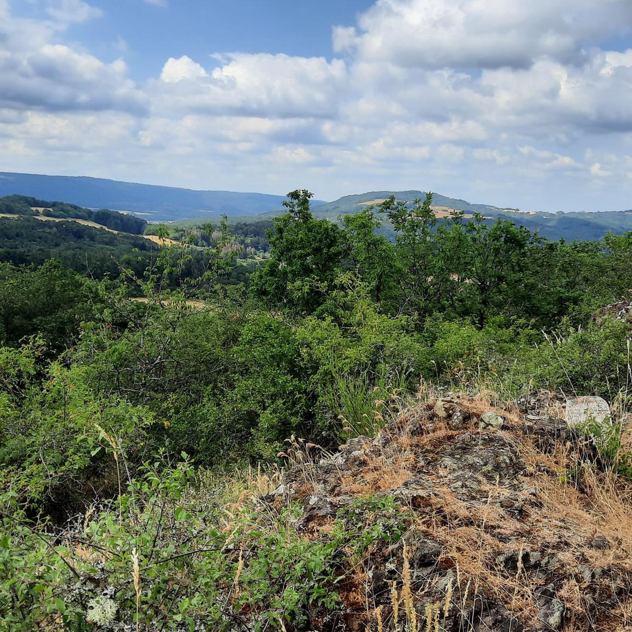
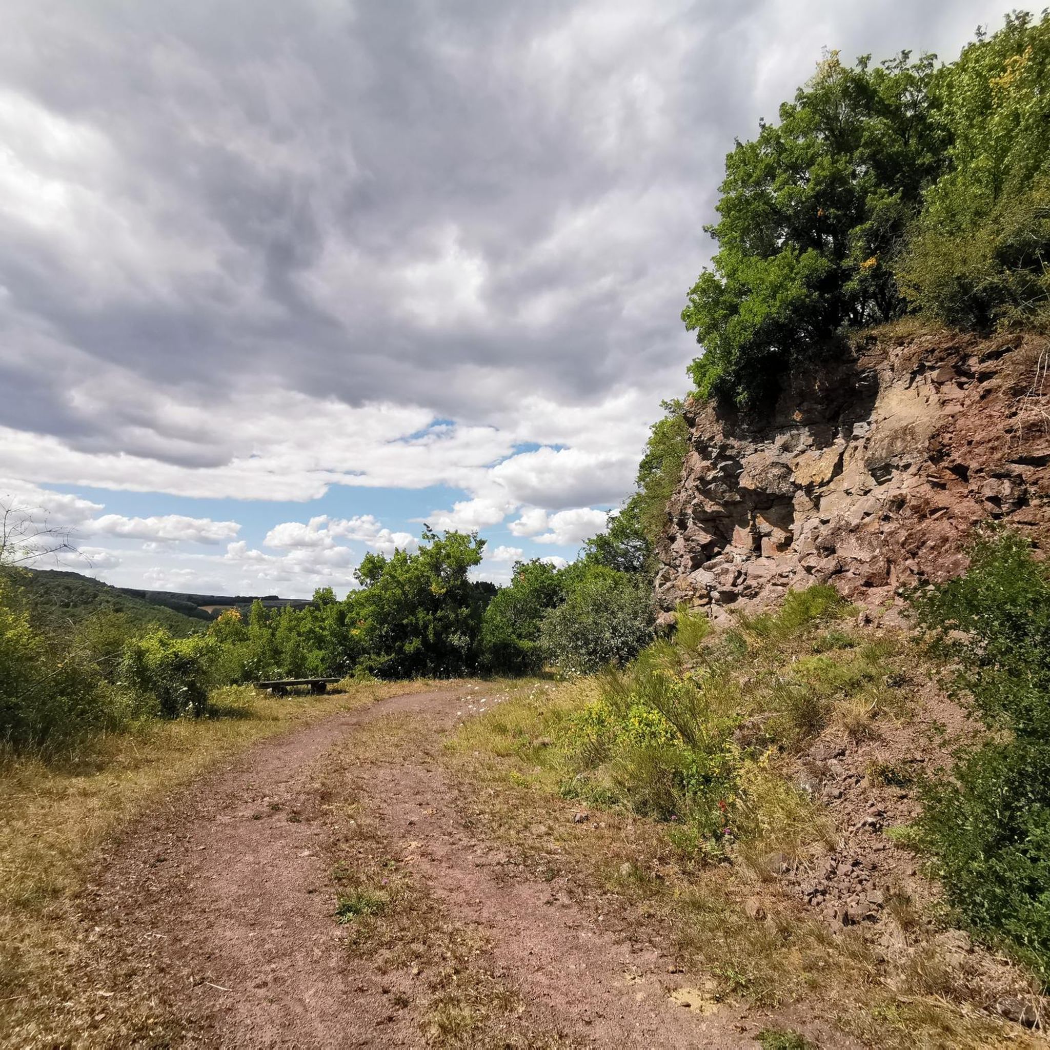
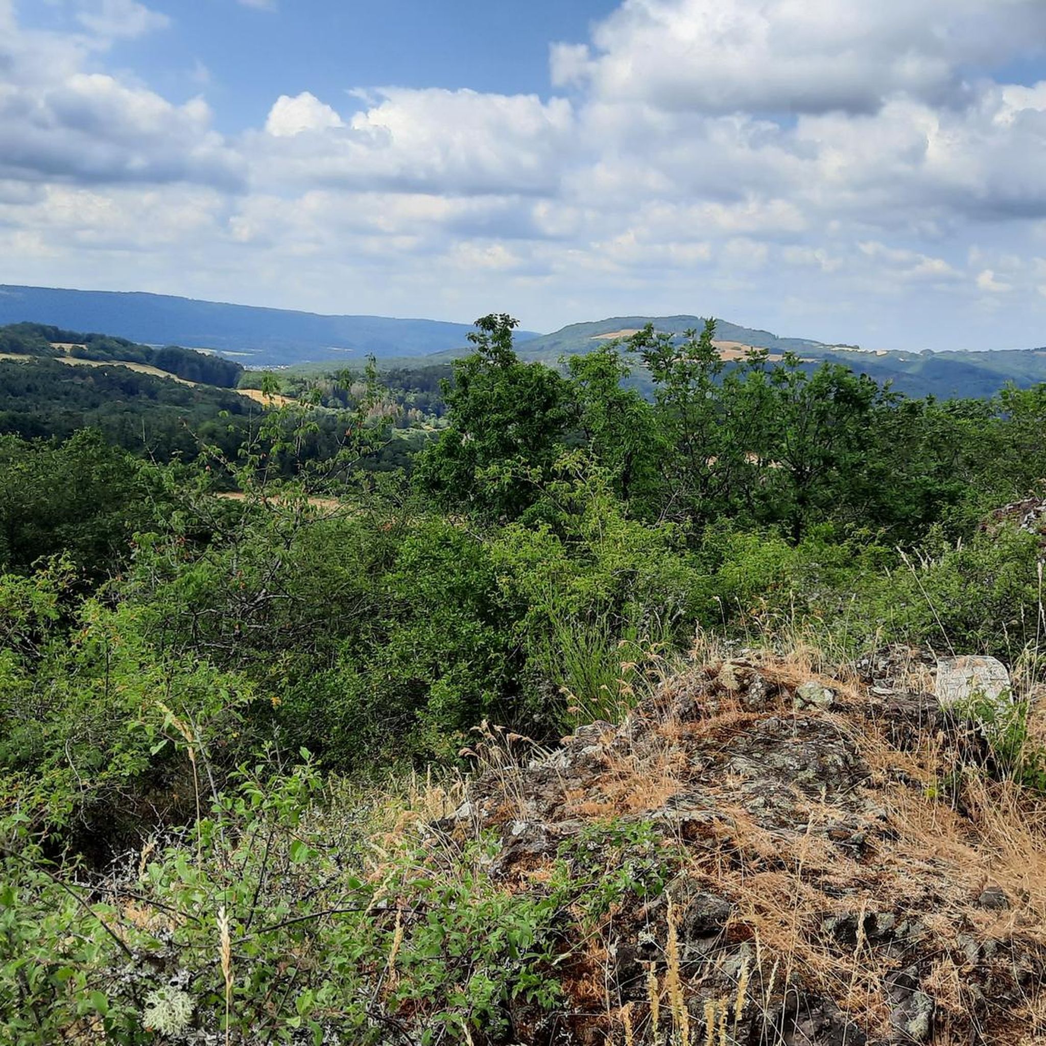
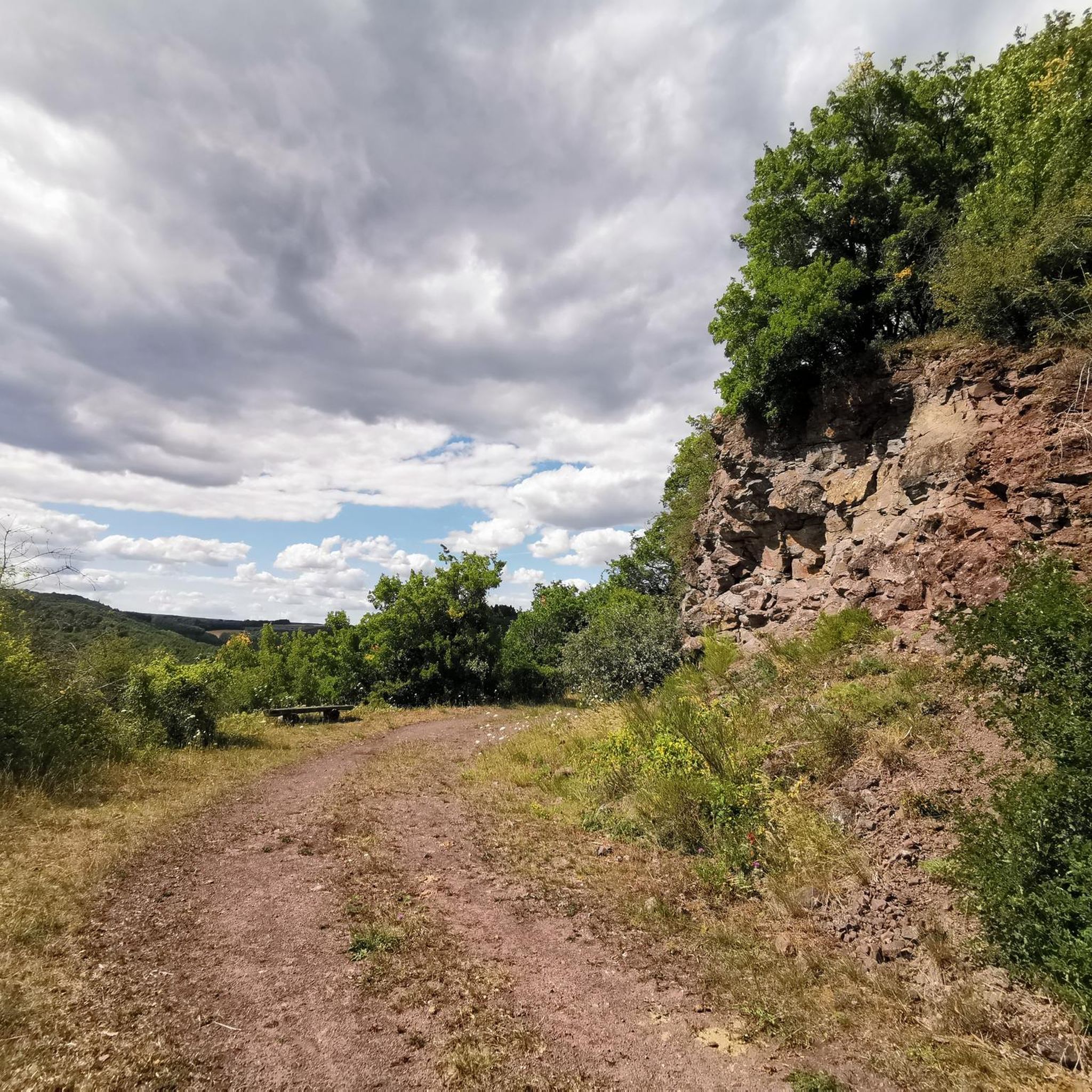

Tips from the Community

Very nice section of the route, nice to ride
0
0
Perfect opportunity to take a break
0
0
Very cool bike path 🚴♂️
0
0
Very well done, great panoramic view from up here.
0
0
And a branch office of the registry office 💁♂️😂
0
0

Near the bridge is the garden restaurant "Frau K" (https://frauk-rehborn.de/). The restaurant is idyllically situated and invites you to linger.
0
0
Great old building, well worth seeing
0
0
Very nice cycle path, highly recommended....
0
0
Frequently Asked Questions
How many road cycling routes are available around Berschweiler bei Kirn?
There are over 180 road cycling routes available around Berschweiler bei Kirn, catering to various skill levels. The region offers a diverse network of paths through its high plateau, rolling hills, and extensive forests.
What is the best time of year for road cycling in Berschweiler bei Kirn?
The best seasons for road cycling in Berschweiler bei Kirn are spring and autumn, when the weather is mild and the landscape is vibrant with colors. Summer also offers pleasant conditions, often with open-air events and festivals in the region.
What do other road cyclists enjoy most about the routes in Berschweiler bei Kirn?
The road cycling routes in Berschweiler bei Kirn are highly rated by the komoot community, with an average score of 4.6 stars from over 115 reviews. Cyclists often praise the varied terrain, the tranquil environment of the extensive forests, and the scenic views across river valleys like the Nahe.
Are there easy road cycling routes for beginners in Berschweiler bei Kirn?
Yes, Berschweiler bei Kirn offers 10 easy road cycling routes suitable for beginners. These routes typically feature less elevation gain and provide a gentle introduction to the region's beautiful landscapes.
Are there challenging road cycling routes for advanced riders?
Absolutely. For advanced riders seeking a challenge, there are 74 difficult road cycling routes. Routes like the Erbeskopf climb to the highest mountain in Rhineland-Palatinate, a 116.3 km trail with significant elevation gain, offer a rewarding experience through the region's varied landscape.
Can I find long-distance road cycling routes in the region?
Yes, the region is well-suited for long-distance road cycling. The Everything flows between Nahe and Glan route, spanning 90.4 km, is a popular choice that navigates between the Nahe and Glan rivers, offering diverse scenery and challenging ascents over a longer distance.
Are there loop road cycling routes available?
Many routes in the area are designed as loops, allowing you to start and end at the same point. An example is the Old Stone Bridge over the Nahe – Glan Bridge near Rehborn loop from Kirnsulzbach, a 62.2 km trail leading through river valleys and past historical points.
What historical sites can I explore along road cycling routes?
The region around Berschweiler bei Kirn is rich in history. You can cycle past landmarks such as the Schmidtburg Castle Ruins, the Historic Old Town of Herrstein, or the Hellkirch Ruins. These sites offer interesting stops and often provide panoramic views.
Are there any natural landmarks or viewpoints to see while cycling?
Yes, the area boasts several natural highlights and viewpoints. You can encounter the Trübenbach Waterfall, the impressive Devil's Rock viewpoint, or cycle near the Kammerwoog Reservoir and Nature Reserve, offering scenic breaks during your ride.
Are there routes that pass through the Hunsrück-Hochwald National Park?
Yes, Berschweiler bei Kirn is approximately 6 km from the Hunsrück-Hochwald National Park, and some routes offer proximity or access to its edges. While the park itself has specific regulations, routes in the surrounding area, such as the Erbeskopf Climb - Hunsrück-Hochwald National Park, allow you to experience the natural beauty of this protected region.
What kind of landscapes can I expect on road cycling routes in this region?
Road cycling routes around Berschweiler bei Kirn traverse a diverse landscape characterized by a high plateau, rolling hills, and extensive forests. You'll experience idyllic river valleys like the Nahe and Glan, and enjoy clean air in a tranquil environment away from urban hustle.
Where can I find parking for road cycling routes in Berschweiler bei Kirn?
Parking options are generally available in and around the villages and towns that serve as starting points for many routes. Specific parking information can often be found on individual route pages or local tourism websites for Berschweiler bei Kirn and surrounding communities.
Are there cafes or places to stop for refreshments along the routes?
Yes, many road cycling routes in the region pass through charming villages and towns, such as the Historic Old Town of Herrstein or Idar-Oberstein, where you can find cozy cafés and restaurants to stop for refreshments and a break.
Most popular routes around Berschweiler bei Kirn
Most popular attractions around Berschweiler bei Kirn

Get inspired with the komoot mobile app


Explore more
Browse the best Road cycling routes in other regions.
