The 5 Most Amazing Peaks around Gondenbrett
Mountain peaks around Gondenbrett are primarily defined by the Schneifel mountain range in Rhineland-Palatinate, Germany. This region features expansive forested ridges and panoramic views. The most notable peak in the immediate vicinity is the Schwarzer Mann. The area offers opportunities for hiking and enjoying nature.
Best mountain peaks around Gondenbrett
- The most popular mountain peaks is Schwarzer Mann Summit and Wooden Statue, a summit that is the highest point of the Schneifel at 697.3 meters above sea level. Its…
Last updated: May 14, 2026
Schwarzer Mann Summit and Wooden Statue
Highlight • Summit
Translated by Google •
Tip by

Basilica of St. Salvator, Prüm
Highlight • Religious Site
Translated by Google •
Tip by

Sign up now to discover places like this
Get recommendations on the best single tracks, peaks, & plenty of other exciting outdoor places.
Sign up for free
Schwarzer Mann (Ski and Recreation Area)
Highlight • Rest Area
Translated by Google •
Tip by

Langer Stein and Seimersberg
Highlight • Summit
Translated by Google •
Tip by

Ascent to Hilz Summit (603 m)
Highlight (Segment) • Climb
Translated by Google •
Tip by

Sign up for free to discover even more peaks around Gondenbrett.
Sign up for free
Already have an account?
Start today with a free account
Your next adventure awaits.
Login or Signup
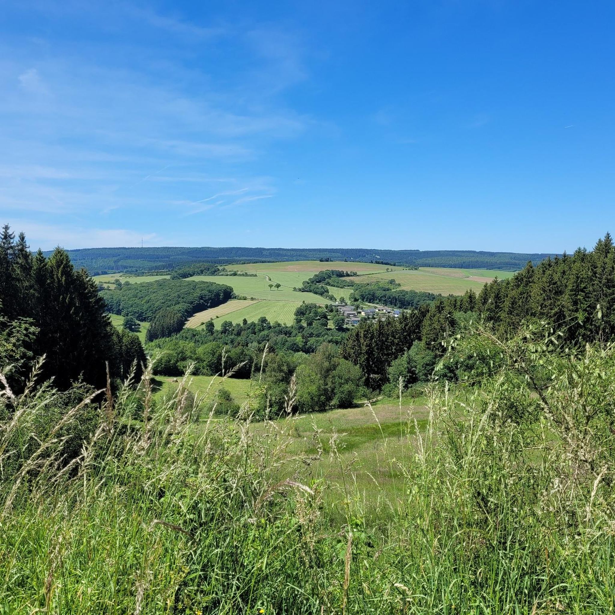
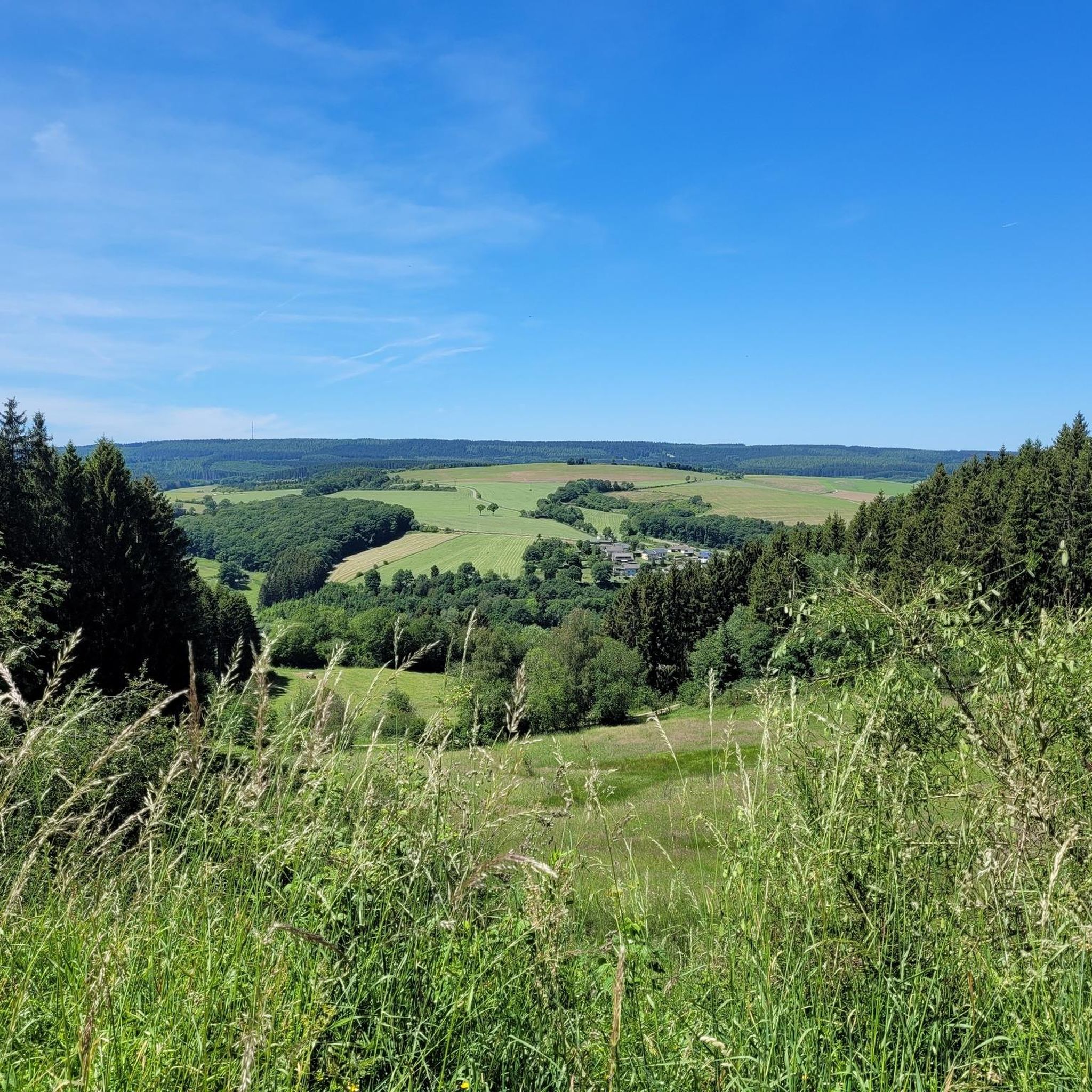
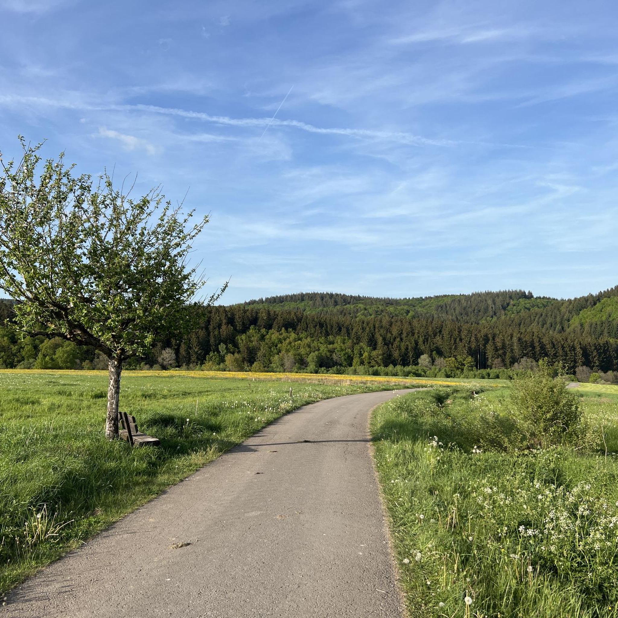
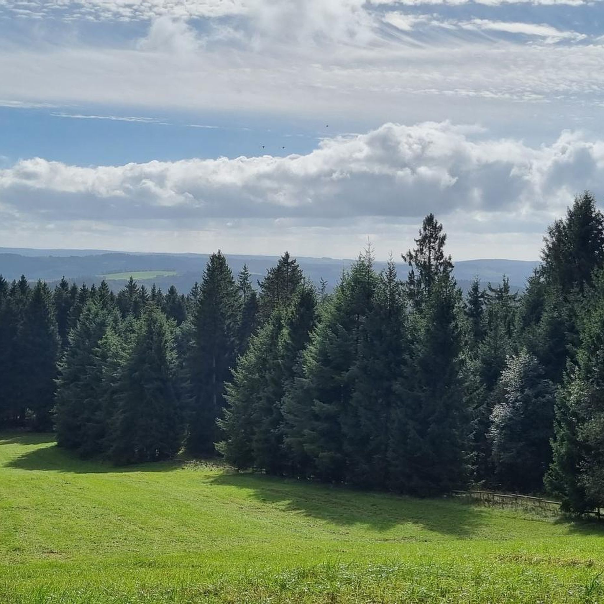
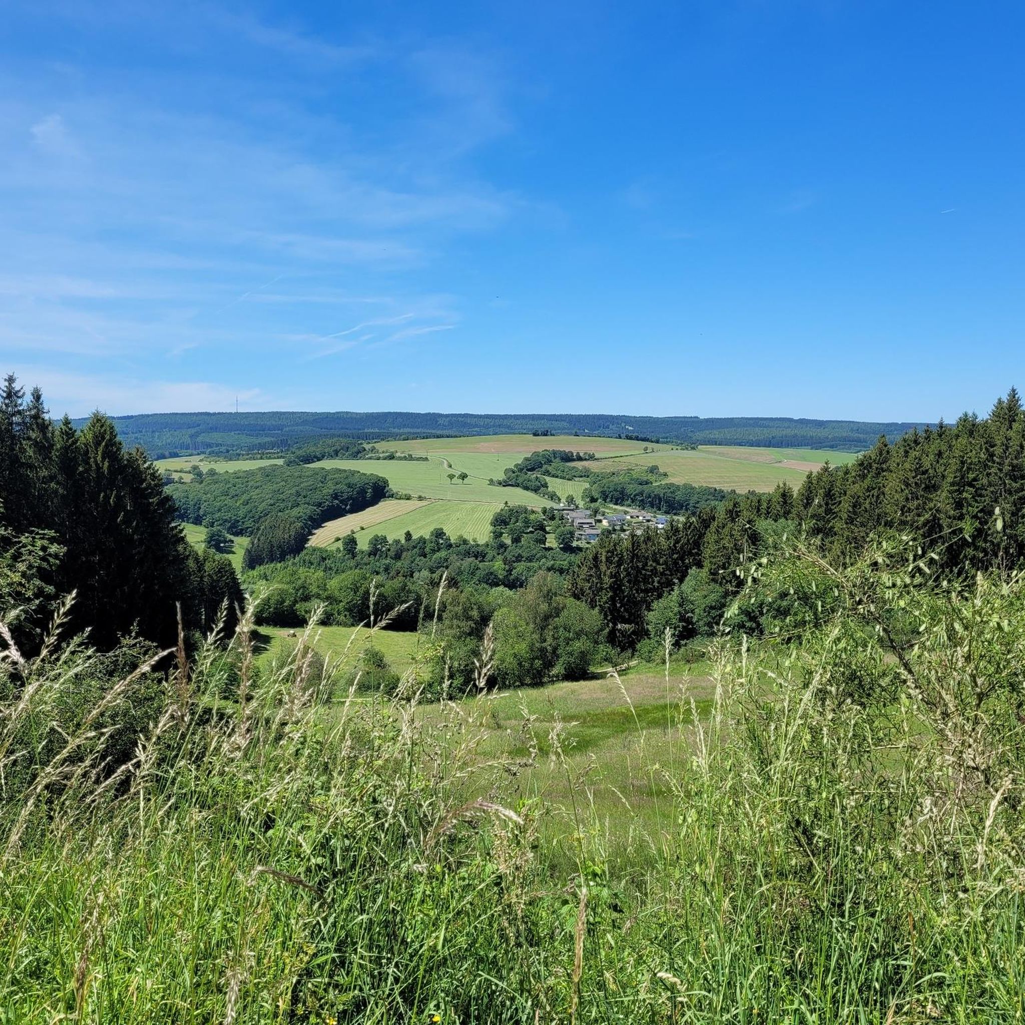
Tips from the Community

Great location, definitely worth a visit. If you look closely at the stone you can still see parts of the writing that was once there. Unfortunately the writing is almost illegible due to shrapnel etc.
1
0

Coming from the Wifttal, it goes uphill on moderate asphalt with a gradient of up to 14%. (The asphalt is better for driving up than for driving down)
0
0

Der Schwarzer Mann is a statue that stands at the height of the Eiffel. And is located in the winter sports area of the Eiffel nice confirmation area for walking, with many attractions, such as a Dwarf boulder and remains of an old bunker
2
0

"To the west of the Langer Stein (640m) and Seimersberg (662m) we move to the Prümer Kopf. The gradients have so far proven to be very moderate, as they are today. In the surrounding spruce forest we repeatedly discover up to two meter high anthills ( https://www.das-tierlexikon.de/ameise/) and these are often surprisingly close together. We also encounter an unusually large number of hard-working dung beetles; we often have to be very careful not to step on them. (https://www .biologie-schule.de/mistkaefer-steckbrief.php)" https://www.komoot.de/tour/778942841
0
0

The name Black Man has nothing to do with the children's frightening figure The Black Man, but with the black faces of the miners when mining lead ore in the mines of Bleialf. The summit used to be called "Kerschgeroth", which probably derives from the clearing of the heavily forested area. Source: Wikipedia
0
0
The name Black Man has nothing to do with the children's frightening figure The Black Man, but with the black faces of the miners when mining lead ore in the mines of Bleialf. The summit used to be called "Kerschgeroth", which probably derives from the clearing of the heavily forested area. (Source: Wikipedia)
0
0

"The Black Man is 697.3 meters high. And of course it has nothing to do with the children's song - oh what! The Internet knows: The Black Man is the highest peak in the Schneifel and the third highest mountain in the Eifel (after the Hohe Acht and the Erresberg) and is considered an Eldorado for winter sports enthusiasts and hikers seven kilometers north-west of Prüm not far from the Belgian border in the Hohes Venn nature park located, but which covers a larger area, but comes from the word "Schneise" and designates the mountain range to which the black man also belongs." https://susanne-wingels.de/tag/forstmeisterjansenstein
0
0
"To the right of the hiking trail, on the back of the hill bordering the parking lot, a staircase leads up to a platform on which there is a wooden fellow: the black man with a hat, a long beard and a walking stick. Up here I find out what makes the area special and where the strange name comes from: Until the 19th century, the 15-kilometer-long ridge was known as "Kerschtgesroth", which means "forest clearing" and goes back to the Celtic tribe of Karusker/Cäroser, who lived here The name may have come from the black faces of the miners or charcoal burners who lived and worked in the area - or perhaps from the wooden scaffolding made of tree trunks that Napoleonic surveyors placed in the landscape as landmarks and that from a distance may have looked like dark figures ." https://susanne-wingels.de/tag/forstmeisterjansenstein
2
1
Frequently Asked Questions
What are the most notable mountain peaks and elevated areas around Gondenbrett?
The most prominent peak in the region is the Schwarzer Mann Summit, which is the highest point of the Schneifel mountain range at 697.3 meters. Other significant elevated areas include Langer Stein and Seimersberg, known for their surrounding spruce forests, and the Ascent to Hilz Summit (603 m), offering moderate climbs.
Are there family-friendly mountain trails or activities near Gondenbrett?
Yes, the area around Gondenbrett offers several family-friendly options. The Schwarzer Mann Summit area is considered family-friendly, especially during winter when it transforms into a ski and recreation area with a natural toboggan run and children's toboggan run. Many hiking trails in the Schneifel region are suitable for families, offering manageable ascents and beautiful natural surroundings.
What kind of natural beauty and wildlife can I expect to see on the mountain peaks?
The mountain peaks around Gondenbrett are characterized by expansive, heavily wooded ridges, primarily covered with spruce forests. You can expect panoramic views across the Eifel summits and deep forests. The region is home to diverse flora and fauna, including rare wild species like the European wildcat. Keep an eye out for large anthills and busy dung beetles, especially around areas like Langer Stein and Seimersberg.
What historical significance do the mountain peaks around Gondenbrett hold?
The name "Schwarzer Mann" is believed to have historical roots, possibly deriving from wooden scaffolding used by Napoleonic surveyors or from past mining and charcoal burning activities in the area. Additionally, the Schneifel ridge bears remnants of the Siegfried Line (Westwall), with overgrown bunker ruins visible along some trails, adding a historical dimension to the landscape.
What outdoor activities are available near the mountain peaks around Gondenbrett?
The region is a paradise for outdoor enthusiasts. You can enjoy extensive hiking, with trails like the "Schneifel Moor Trail" or a scenic loop from Gondenbrett to the Schwarzer Mann. During winter, the Schwarzer Mann ski area offers skiing, snowboarding, tobogganing, and cross-country skiing. For more options, explore the hiking routes around Gondenbrett or cycling tours.
Are there specific hiking trails recommended for beginners or those seeking an easy walk?
Yes, there are easy hiking options. For instance, the "Forest Pathway in Olzheim – Wascheid Reservoir loop from Wascheid" is an easy 3.2 km route. Another gentle option is the "Bridge Over the Mehlenbach loop from Gondenbrett," which is about 4 km. These trails offer a good introduction to the region's natural beauty without demanding strenuous effort. You can find more easy routes in the hiking guide for Gondenbrett.
What is the best time of year to visit the mountain peaks around Gondenbrett?
The region offers different experiences depending on the season. Spring and autumn are ideal for hiking, with pleasant temperatures and vibrant natural colors. Summer provides lush green landscapes for outdoor activities. In winter, especially at Schwarzer Mann, it transforms into a popular winter sports destination, offering skiing and tobogganing when snow conditions permit.
Are there any observation points or viewpoints offering panoramic vistas?
Absolutely. The Schneifel region is known for its panoramic views. The "Dreiländerblick" (Three Countries Viewpoint) on the Schneifel Moor Trail offers extensive vistas, potentially across the mountain ranges of Islek, Ösling, and the High Fens. The "Eifelblick Hardt" observation tower also provides expansive views of the romantic Prüm valley and surrounding deep forests. Many elevated points along the Schneifel ridge, including the Schwarzer Mann Summit, offer picturesque scenic overlooks.
Can I find running trails near the mountain peaks?
Yes, there are several running trails available. For example, you can find routes like the "Pittenbach Playground loop from Prüm" (13.1 km, moderate) or the "Ski Hut loop from Prüm" (7 km, moderate). These trails allow you to experience the natural surroundings while jogging. More options are listed in the Running Trails around Gondenbrett guide.
What do visitors enjoy most about the mountain peaks around Gondenbrett?
Visitors particularly appreciate the extensive network of hiking and winter sports opportunities, the serene forested environment, and the significant viewpoints offering expansive vistas. The blend of natural beauty with a touch of local history, such as the remnants of the Siegfried Line, also adds to the appeal. The Schwarzer Mann Summit is highly rated for its scenic beauty and recreational facilities.
Are there any challenging hiking routes for experienced hikers?
Yes, for experienced hikers, the challenging "Schneifel Trail" is a nearly 73-kilometer route that impresses with its diverse landscapes, including steep climbs and descents and wild forest areas. A more local challenging option is the "Blockhouse Schwarzer Mann – Schneifel Trail loop from Gondenbrett," which covers nearly 20 km. These routes offer a more strenuous and rewarding experience.
Is there a specific mountain peak known for winter sports?
Yes, the Schwarzer Mann (Ski and Recreation Area) is the largest skiing area in Rhineland-Palatinate. It offers easy and medium-difficulty slopes for skiing and snowboarding, a natural toboggan run with its own lift, and approximately ten kilometers of groomed cross-country trails during winter, making it a prime destination for snow activities.
Most popular routes around Gondenbrett
Most popular attractions around Gondenbrett

Get inspired with the komoot mobile app


Explore more
See even more amazing summits around Gondenbrett with these guides:
