Top 12 Gorges around Obergröningen
Best canyons around Obergröningen are found within a landscape characterized by valleys, forests, and natural monuments. The region offers diverse natural features, including gorges and ravines, suitable for exploration. These natural landmarks contribute to the area's appeal for those seeking hiking trails in Obergröningen's nature. The terrain often features varied elevations, providing different levels of challenge for hikers.
Best canyons around Obergröningen
- The most popular canyons is Rötenbach Valley, a gorge that is very navigable and quiet. This area…
Last updated: June 26, 2026
Rötenbach Valley
Highlight • Gorge
Translated by Google •
Tip by

Waterfall in Naturpark Schwäbisch-Fränkischer Wald
Highlight • Waterfall
Translated by Google •
Tip by
Sign up now to discover places like this
Get recommendations on the best single tracks, peaks, & plenty of other exciting outdoor places.
Sign up for free
Rottal Valley
Highlight • Gorge
Translated by Google •
Tip by

Rottal Valley in Naturpark Schwäbisch-Fränkischer Wald
Highlight • Gorge
Translated by Google •
Tip by

Rötenbachtal near Abtsgmünd-Untergröningen
Highlight (Segment) • Gorge
- an idyllic valley along the "Rötenbach"
- there is a shelter in the valley
- the "Rötenbach" at the …
Translated by Google •
Tip by

Sign up for free to discover even more gorges around Obergröningen.
Sign up for free
Already have an account?
Start today with a free account
Your next adventure awaits.
Login or Signup
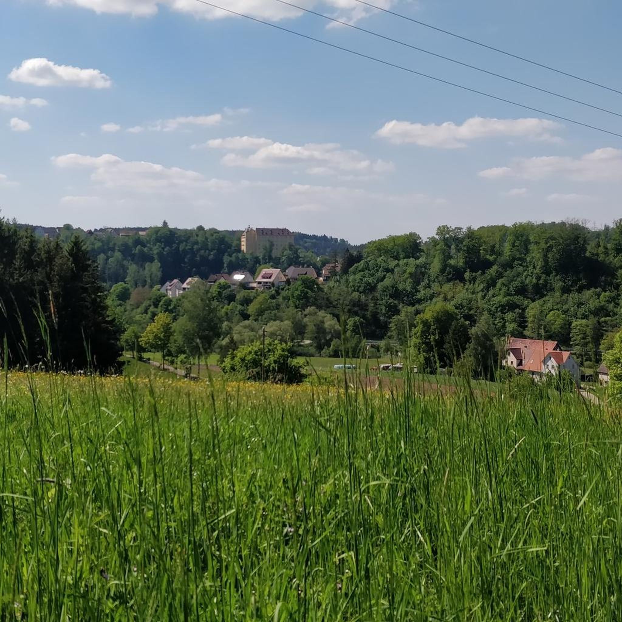
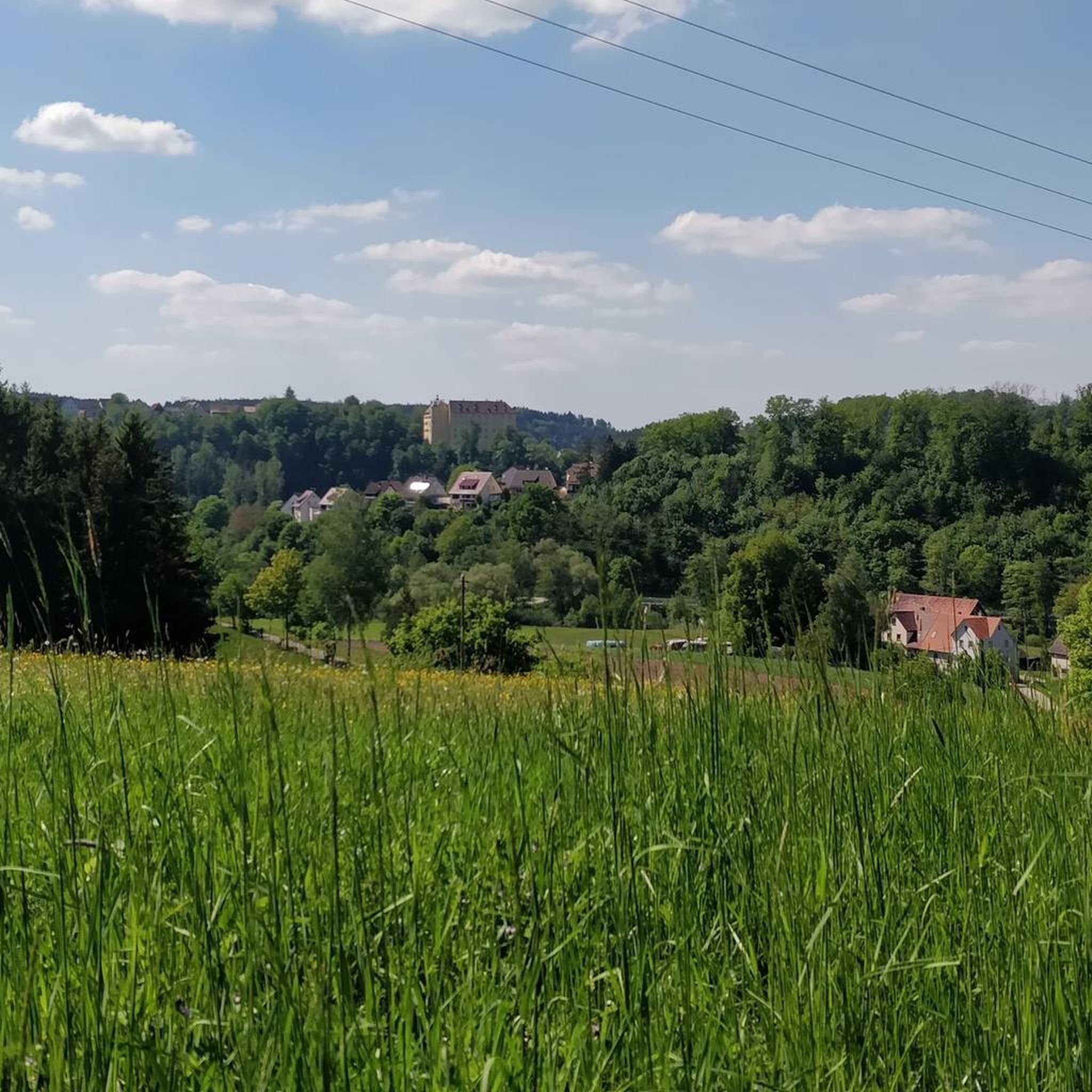
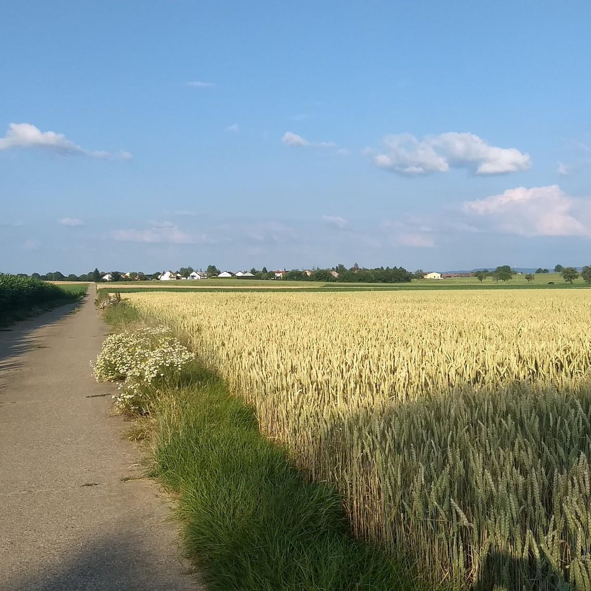
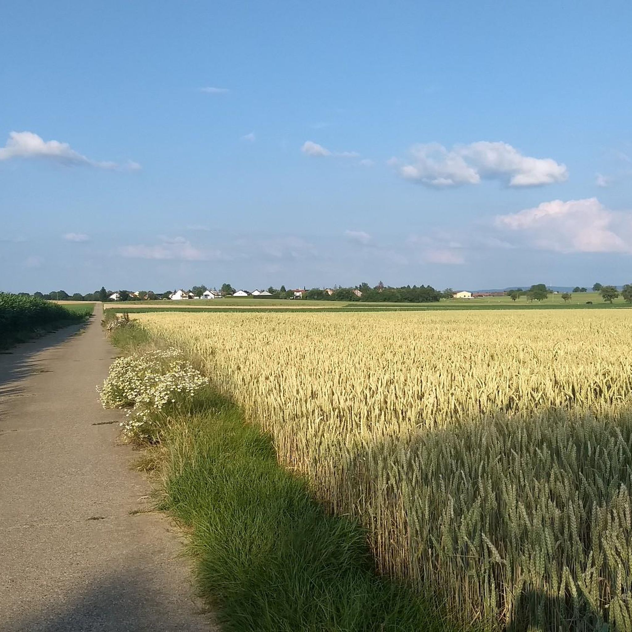
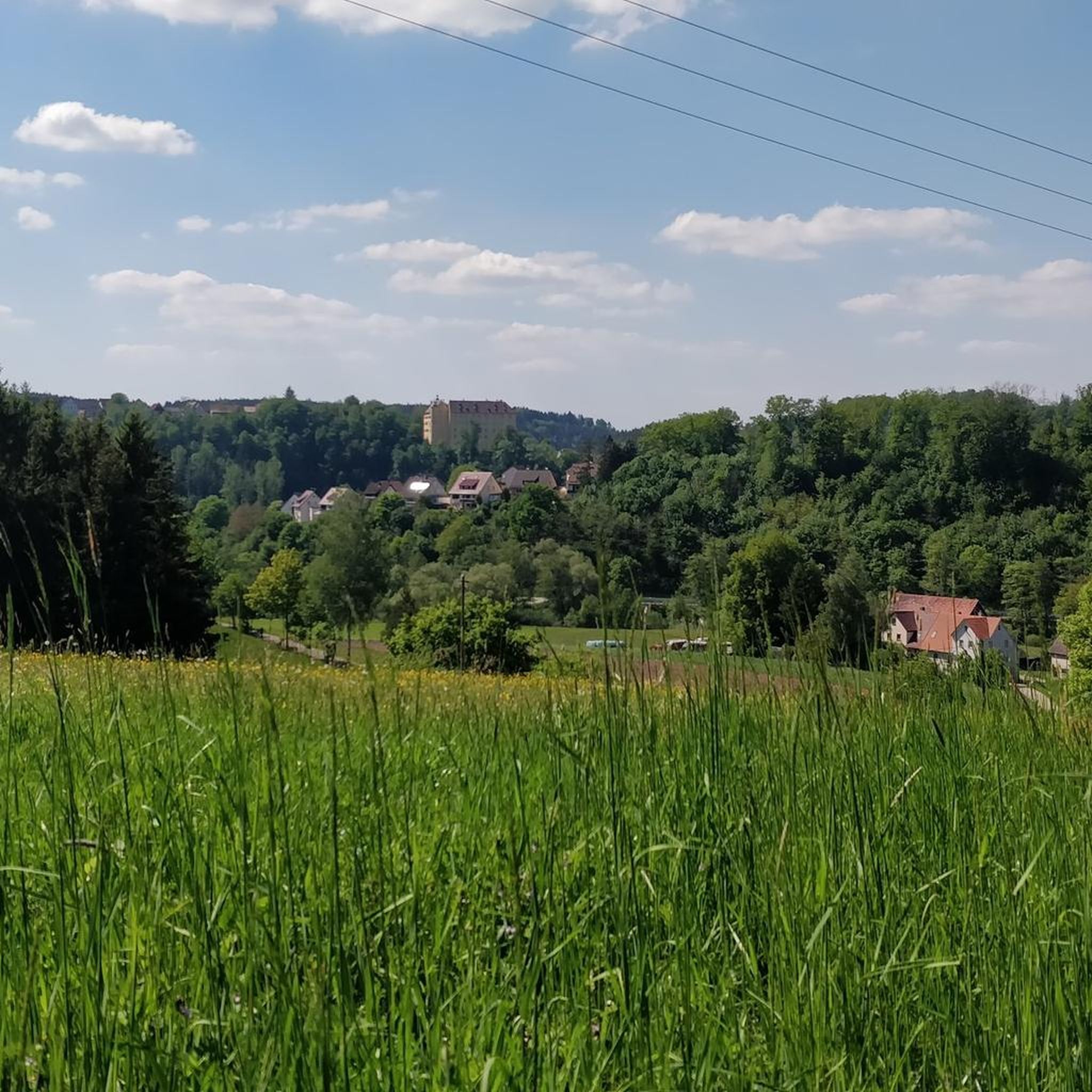
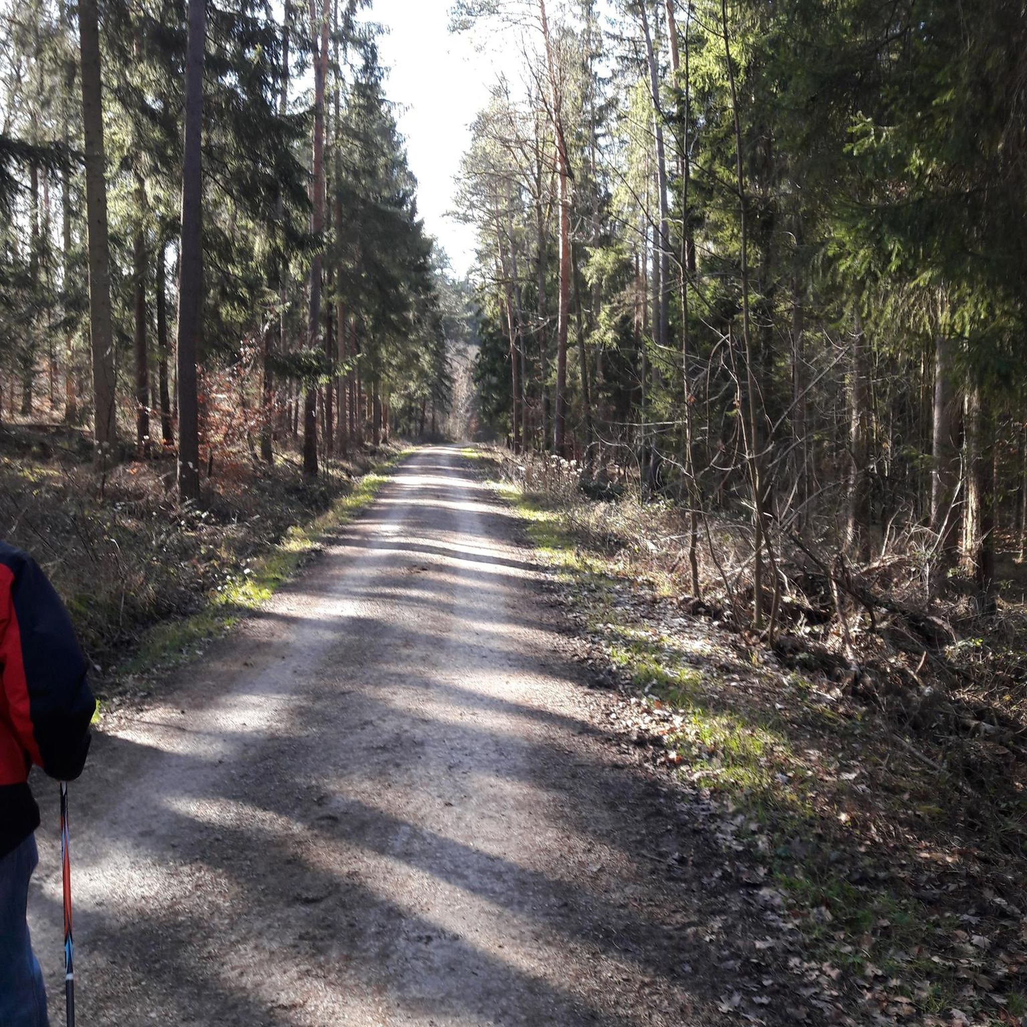
Tips from the Community

Wonderful to ride and hike. Truly idyllic
0
0
A beautiful valley leading to the Kocher. Kilometers long and it looks like a fairytale forest
0
0

Very nice section here.
0
0

The landscape is very nice to drive on and the route is slightly incline and completely paved.
2
0

My favorite route to the Altenberg Tower. The Rötenbachtal is easy to drive in both directions: moderate gradient, great landscape and very little traffic.😎🚴♂️
3
1

pleasantly shady, very pleasant to drive on hot days, very scenic
1
0

Super great landscape 🤩🤩 and almost always downhill 😎🚴🤩
2
1

very hidden waterfall. You have to leave the path to the right and follow the narrow path for a short time. Otherwise you don't see him.
0
0
Frequently Asked Questions
What kind of natural features can I expect to see in the canyons around Obergröningen?
The canyons around Obergröningen are characterized by diverse natural features, including gorges, ravines, forests, and rivers. You can find imposing rocky slopes, quiet valleys, and natural monuments. For example, the Rock gardens and ravines in the Gröninger Forest feature steep paths and rocky terrain, while the Rötenbach Valley offers a very navigable and quiet experience.
Are there waterfalls in the canyons near Obergröningen?
Yes, you can find waterfalls in the area. A notable one is the Waterfall in Naturpark Schwäbisch-Fränkischer Wald, which is described as a quiet and original place with natural surroundings.
What are the hiking conditions like in the canyons around Obergröningen?
Hiking conditions vary. Some areas, like the Rötenbach Valley, are very navigable and quiet. Other locations, such as the Rock gardens and ravines in the Gröninger Forest, feature paths that fall steeply or rise steeply, offering a more challenging experience through deciduous forest.
Are there family-friendly hiking options in the Obergröningen canyons?
Yes, several canyons are considered family-friendly. The Rötenbach Valley, Waterfall in Naturpark Schwäbisch-Fränkischer Wald, Rottal Valley, and Rötenbachtal near Abtsgmünd-Untergröningen are all suitable for families, offering accessible trails and natural beauty.
What do visitors enjoy most about the canyons around Obergröningen?
Visitors appreciate the quiet and idyllic nature of the canyons. Many enjoy the pure nature, the lack of noise, and the peaceful atmosphere. The varied landscapes, from navigable valleys to imposing rocky slopes, also contribute to the area's appeal for exploration and hiking.
What outdoor activities can I do near these canyons?
Beyond exploring the canyons, the Obergröningen area offers various outdoor activities. You can find numerous running trails, such as those along the Kocher River, and gravel biking routes, including tours around Hohenroden Manor or through the valley of the Blinden Rot. Road cycling routes are also available, with options like the View of Hohenstadt loop.
Are there specific hiking trails near the canyons?
Yes, there are many hiking opportunities. For example, the Rötenbach Valley leads to the Altenberg tower, offering a scenic route. You can find more detailed hiking routes and guides for the region, including running trails, on the Running Trails around Obergröningen guide page.
What is the Rottal Valley like for visitors?
The Rottal Valley is known for its quiet and idyllic atmosphere, offering pure nature with few people. It's wonderful to explore by bike or on foot, providing a peaceful experience away from noise.
Can I find shelters or resting spots within the canyons?
Yes, some areas offer amenities like shelters. For instance, the Rötenbachtal near Abtsgmünd-Untergröningen has a shelter located within the valley, providing a convenient resting spot for hikers.
What is the best time to visit the canyons around Obergröningen?
While specific seasonal advice is not provided, the natural landscapes, forests, and waterfalls suggest that spring and autumn would offer pleasant temperatures and vibrant scenery. Summer is also suitable for outdoor activities, though it might be warmer. Always check local weather conditions before your visit.
Are there any viewpoints or natural monuments in the canyon areas?
Yes, many of the canyons are considered natural monuments and offer viewpoints. The Rötenbach Valley leads to the Altenberg tower, which likely offers views. The Waterfall in Naturpark Schwäbisch-Fränkischer Wald is also a natural monument and a scenic spot.
What are the options for cycling near the canyons?
The region around Obergröningen is well-suited for cycling. You can explore various routes for gravel biking, such as those detailed in the Gravel biking around Obergröningen guide, or enjoy road cycling with routes like the View of Hohenstadt, as found in the Road Cycling Routes around Obergröningen guide.
Most popular routes around Obergröningen
Most popular attractions around Obergröningen

Get inspired with the komoot mobile app


Explore more
Already discovered everything in this region? See additional gorges around Obergröningen for your next adventure:
