The best road cycling routes around Obergröningen
4.6
(379)
4,106
riders
142
rides
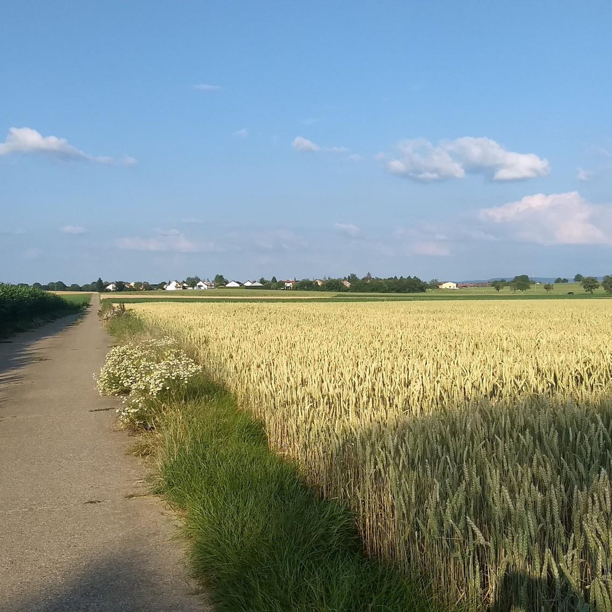
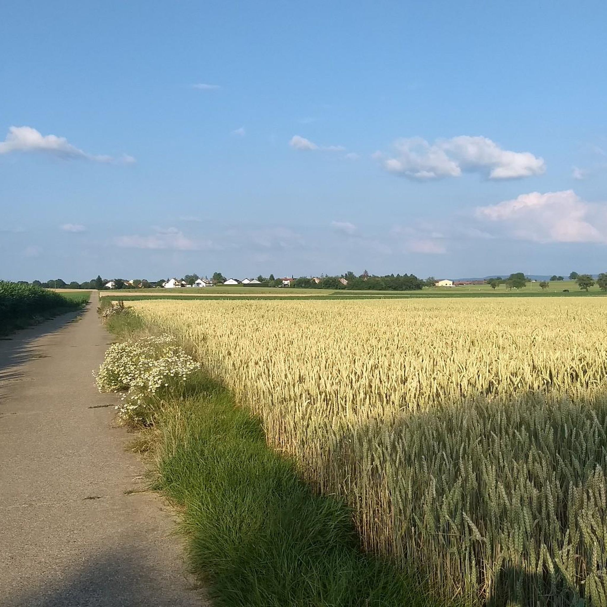
Road cycling routes around Obergröningen traverse a varied landscape characterized by distinctive natural features and hilly topography. The region, part of the Schwäbische Alb, offers an extensive network of paved cycling paths, many following the scenic Kocher River. Cyclists will encounter smaller, winding roads and elevations, providing diverse terrain for different fitness levels. The area features green hills, deep forests, and picturesque valleys, making it well-suited for road cycling.
Best road cycling routes around Obergröningen
- The most popular road cycling…
Last updated: July 5, 2026
4.7
(9)
103
riders
Easy road ride. Great for any fitness level. Mostly well-paved surfaces and easy to ride.
4.6
(12)
118
riders
52.8km
02:19
420m
420m
Moderate road ride. Good fitness required. Mostly well-paved surfaces and easy to ride.

Sign up for free
4.7
(17)
207
riders
Moderate road ride. Good fitness required. Mostly well-paved surfaces and easy to ride.
4.0
(2)
29
riders
Moderate road ride. Good fitness required. Mostly well-paved surfaces and easy to ride.
3.0
(1)
37
riders
57.9km
02:27
460m
460m
Moderate road ride. Good fitness required. Mostly well-paved surfaces and easy to ride.
Get access to more routes and recommendations from other explorers.
Sign up for free
Already have an account?
Our route recommendations are based on thousands of hikes, rides, and runs completed by other people on komoot.
Start today with a free account
Your next adventure awaits.
Login or Signup
Tips from the Community

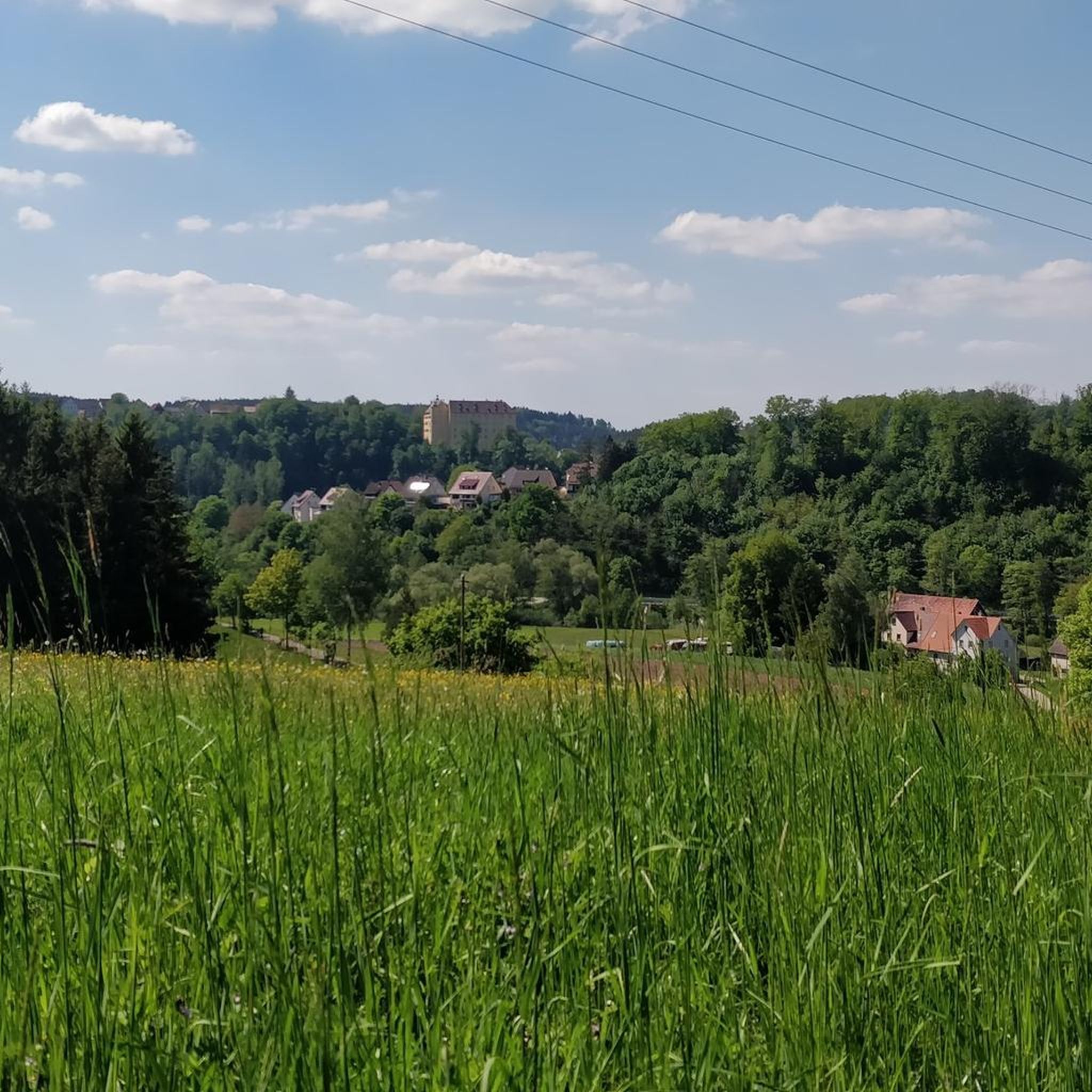
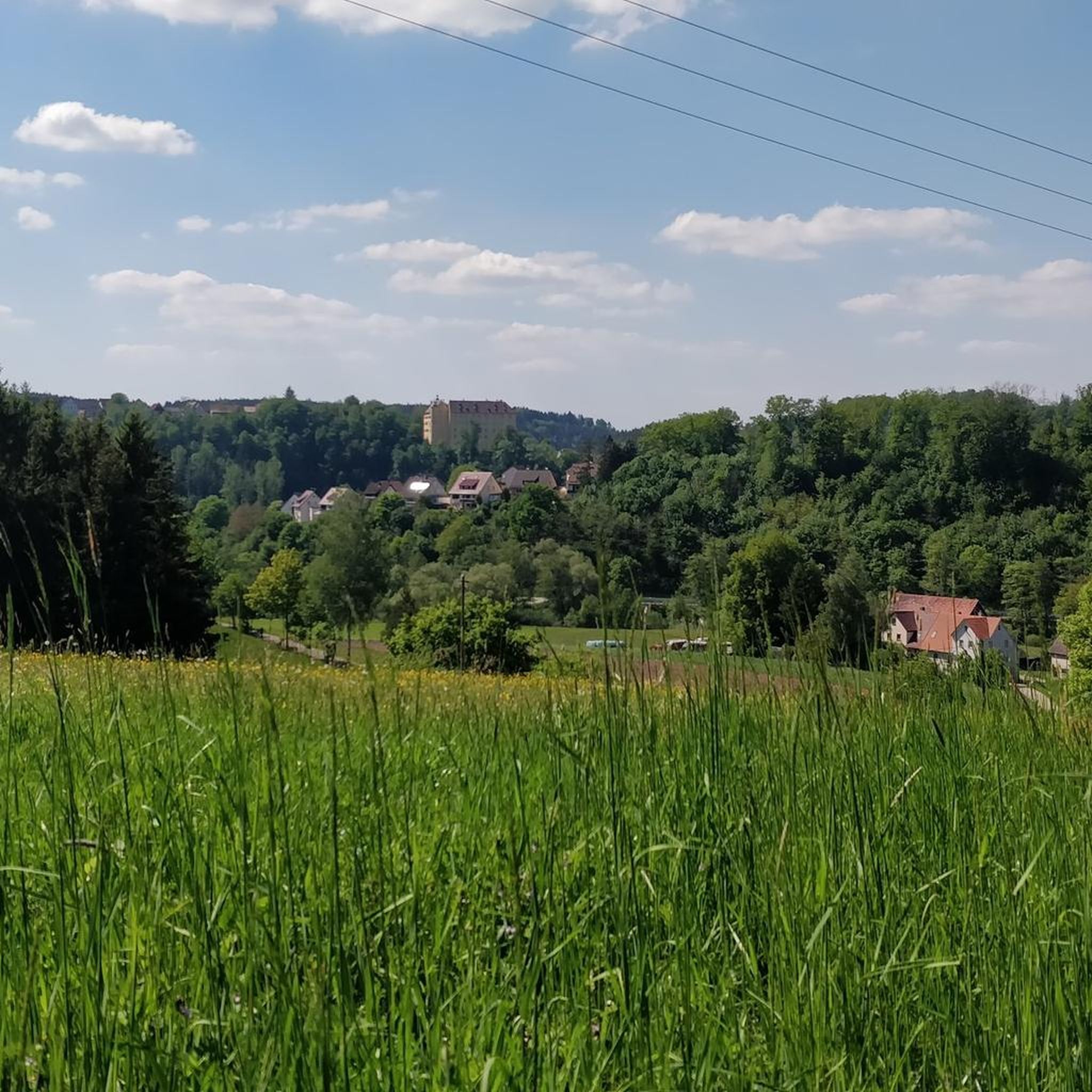
An impressive castle perched just above Untergröningen.
0
0

Very nice covered bridge over the Kocher.
0
0

🏰Wasseralfingen Castle is one of the oldest and most historically significant buildings in the Wasseralfingen district of Aalen. It is picturesquely situated near the Kocher River and looks back on a history spanning over 675 years.
0
0

Concentrated accumulation of scrap metal
1
0

A large art market takes place there before Christmas.
2
1
Cycle highway to avoid the climb
0
0
Nice place for a rest directly at the Kocher
0
0
Frequently Asked Questions
What kind of terrain can I expect on road cycling routes near Obergröningen?
The region around Obergröningen is characterized by a varied and hilly topography, featuring smaller, winding roads and varying inclines. Many routes follow the scenic Kocher River, offering a mix of challenging climbs and more gentle stretches suitable for different fitness levels. The area is part of Baden-Württemberg, known for its diverse landscapes.
How many road cycling routes are available around Obergröningen?
There are over 150 road cycling routes available around Obergröningen, catering to various skill levels. This includes approximately 30 easy routes, nearly 100 moderate routes, and over 25 difficult routes for more experienced cyclists.
Are there road cycling routes suitable for beginners in Obergröningen?
Yes, Obergröningen offers around 30 easy road cycling routes. Many of these paths follow the scenic Kocher River, providing leisurely tours with slight inclines. An example of an easy route is the Kocherschleife Covered Bridge – Old Castle Gaildorf loop from Schloss Untergröningen, which is 27.4 miles long.
What are some scenic highlights or landmarks I can see along the road cycling routes?
Road cycling routes around Obergröningen offer views of various natural and historical landmarks. You can encounter approximately 20 natural monuments, including the unique 'Teufelskanzel' (Devil's Pulpit) near Gschwend. Routes often pass by stately castles like the Schloss Hohenstadt and Castle Garden, and the Leinzell Castle. The renatured Kocher River itself provides picturesque spots, and you might also pass by the Altenberg Tower offering panoramic views.
Are there any long-distance road cycling routes near Obergröningen?
Yes, there are several longer routes for ambitious road cyclists. For example, the View of Hohenstadt – Gaildorf — Old Town and Castle loop from Hinterbüchelberg covers nearly 52 miles (84 km) with significant elevation changes, making it a good option for a longer ride.
What do other road cyclists enjoy most about cycling in Obergröningen?
The road cycling routes in Obergröningen are highly rated by the komoot community, with an average score of 4.6 stars from over 300 reviews. Cyclists often praise the varied terrain, the scenic views along the Kocher River, and the network of paved, winding roads that cater to different ability levels.
Are there any circular road cycling routes in the area?
Yes, many of the road cycling routes around Obergröningen are designed as loops, allowing you to start and end at the same point. An example is the popular View of Hohenstadt – Steam locomotive BR-23 (23 029) loop from Obergröningen, a 29.3-mile moderate trail.
What is the best time of year for road cycling in Obergröningen?
The region's climate generally makes spring through autumn ideal for road cycling. During these seasons, you can best enjoy the varied landscapes and natural features. While specific seasonal conditions can vary, the extensive network of paved paths is generally accessible outside of heavy winter conditions.
Are there family-friendly road cycling options around Obergröningen?
While the area's hilly topography can be challenging, there are easier routes, particularly those following the Kocher River, that might be suitable for families with older children or those seeking less strenuous rides. These routes often feature slight inclines and picturesque scenery.
Where can I find places to eat or stay along the road cycling routes?
The region around Obergröningen offers various opportunities for refreshment and accommodation. While specific cafes or hotels directly on every route are not detailed, towns and villages along the routes, such as Abtsgmünd, will have options. The Lammbräu Brewery Inn and Fach Castle near Wegen on the Kocher is an example of a place you might encounter.
Is there parking available for cyclists near the routes?
While specific parking locations are not detailed for every route, starting points for many tours are typically in or near towns and villages like Obergröningen, Schloss Untergröningen, or Schechingen, where public parking options are generally available for visitors.
Are there any routes that offer significant elevation challenges for advanced cyclists?
Yes, the hilly topography of Baden-Württemberg ensures there are routes with significant elevation changes. For instance, the View of Hohenstadt – Hohenstadt Water Tower loop from Schechingen includes over 400 meters of elevation gain, providing a good challenge for experienced road cyclists.
Most popular routes around Obergröningen
Most popular attractions around Obergröningen

Get inspired with the komoot mobile app


Explore more
Browse the best Road cycling routes in other regions.
