The 4 Most Amazing Peaks around Neusäß
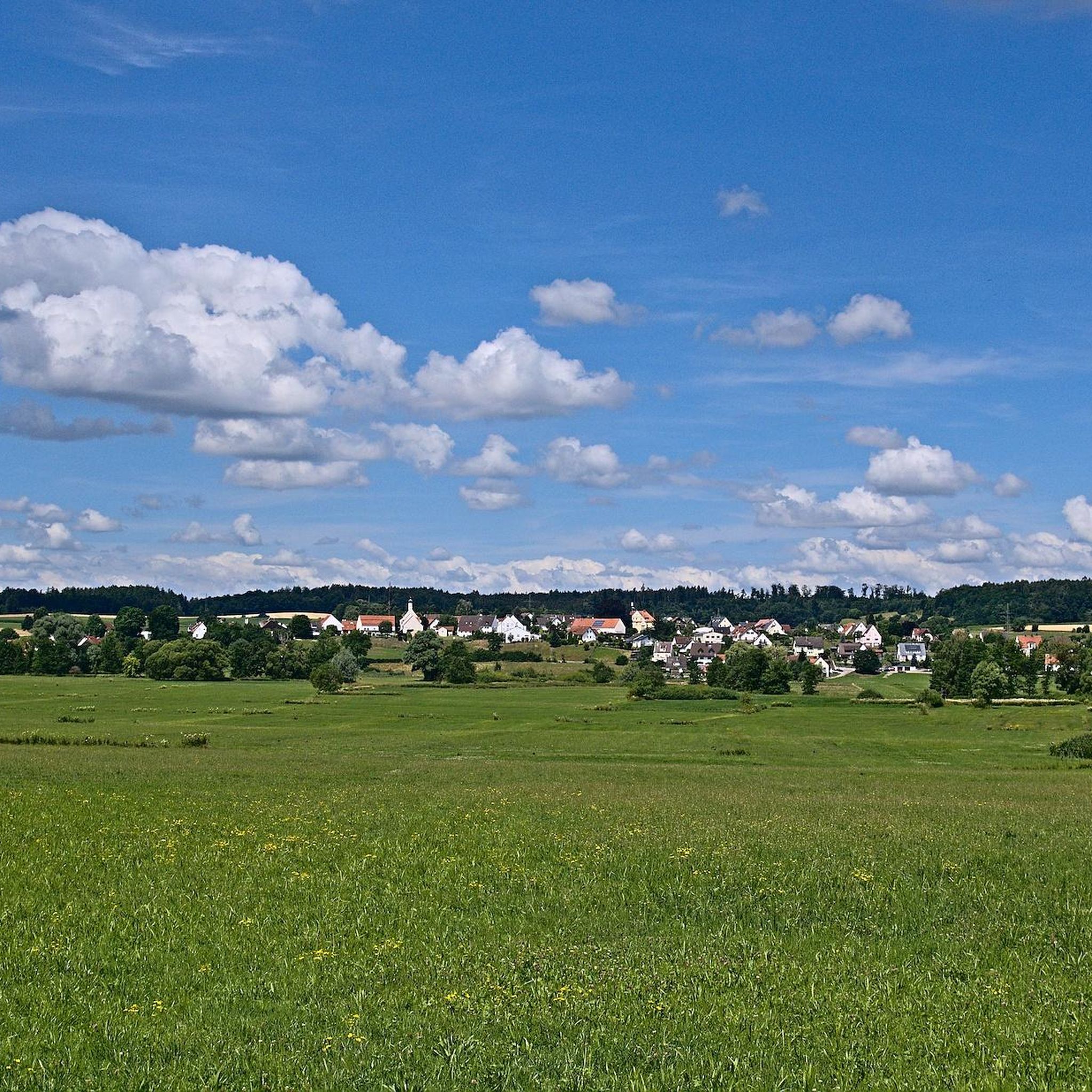
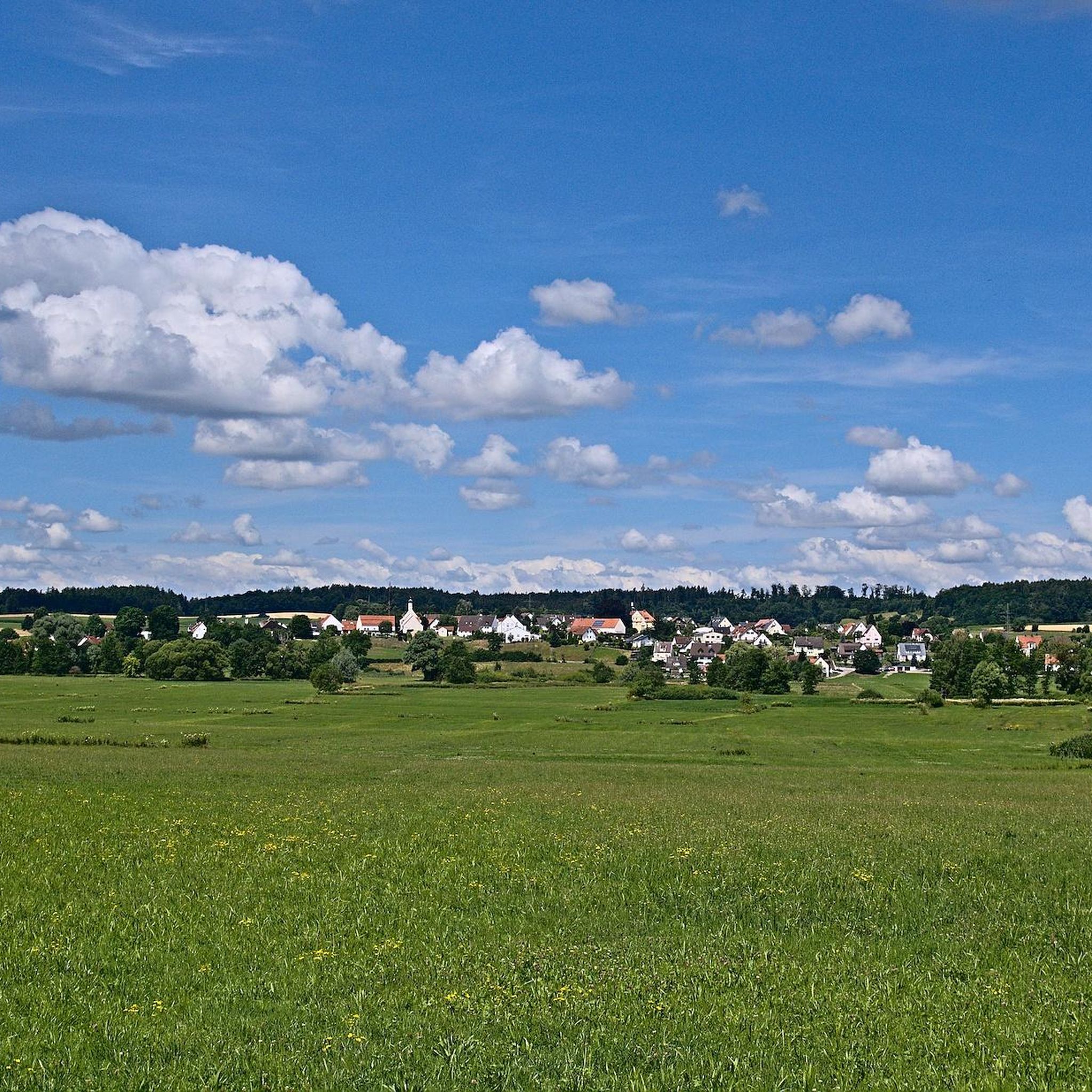
Mountain peaks near Neusäß are characterized by a gently undulating landscape, with elevations more indicative of hills or elevated terrain than traditional mountain ranges. The highest points within the Neusäß area reach up to 544 meters. One notable elevated area is the Kobel mountain, which features the pilgrimage church Maria Loreto. These elevated points offer opportunities for local recreation and appreciating the region's natural features.
Best mountain peaks around Neusäß
- The most popular mountain peaks is Bonstetten Telecommunications Tower,…
Last updated: June 26, 2026
Bismarck Tower, Augsburg
Highlight • Monument
Translated by Google •
Tip by

Monte Scherbelino (Augsburg Rubbish Hill)
Highlight • Viewpoint
November to March 8 a.m. to 4 p.m.
April to October 8 a.m. to 6 p.m.
Translated by Google •
Tip by

Sign up now to discover places like this
Get recommendations on the best single tracks, peaks, & plenty of other exciting outdoor places.
Sign up for free
Bonstetten Telecommunications Tower
Highlight • Monument
Translated by Google •
Tip by

Trail to Sulzkopf
Highlight • Trail
Translated by Google •
Tip by

Start today with a free account
Your next adventure awaits.
Login or Signup




Tips from the Community

1983 built transmission mast of Deutsche Telekom microwave and mobile radio as well as VHF
0
0

The Sulzkopf, west of Bergheim in the "Rauher Forst", is barely visible in the forest area at 558 metres above sea level. Nevertheless, it is the highest point in Augsburg.
0
0

You will probably never get this close to a radio tower, as it is located in the middle of the forest.
1
0

An Augsburg landmark, always worth a visit!
6
0


Imposing and impressive facility
2
1
Frequently Asked Questions
What are some notable elevated areas or 'peaks' to visit around Neusäß?
While Neusäß features a gently undulating landscape rather than traditional towering peaks, you can explore several elevated points. These include the unique Bonstetten Telecommunications Tower, the recreational area of Monte Scherbelino (Augsburg Rubbish Hill), and the forested Trail to Sulzkopf, which leads to the highest point in Augsburg.
Are there any historical or cultural sites associated with the elevated areas near Neusäß?
Yes, the Kobel mountain, a significant elevated area in Neusäß, is home to the pilgrimage church Maria Loreto. This site offers cultural and historical interest, providing spiritual significance alongside potential panoramic views of the surrounding area.
What kind of views can I expect from the elevated points around Neusäß?
From elevated points like Monte Scherbelino (Augsburg Rubbish Hill), you can expect scenic views of the surrounding landscape. These locations are appreciated for offering local recreation and opportunities to enjoy the region's natural features.
What types of outdoor activities can I do near the elevated areas of Neusäß?
The region around Neusäß is excellent for various outdoor activities. You can find numerous routes for hiking, cycling, and gravel biking. These trails often pass by or lead to the elevated points, offering opportunities for exploration and enjoying nature.
Are there family-friendly options for exploring the elevated areas near Neusäß?
Yes, Monte Scherbelino (Augsburg Rubbish Hill) is categorized as family-friendly and offers opportunities for local recreation and hiking suitable for families. The general undulating landscape also provides accessible terrain for family outings.
What is the highest point in the Neusäß area?
The highest point in the broader Augsburg area, accessible via the Trail to Sulzkopf, is the Sulzkopf itself, reaching 558 meters above sea level. Within Neusäß, elevations reach up to 544 meters.
What are the opening times for visiting Monte Scherbelino?
The opening times for Monte Scherbelino (Augsburg Rubbish Hill) are Monday to Sunday. From November to March, it's open from 8 a.m. to 4 p.m., and from April to October, it's open from 8 a.m. to 6 p.m.
Can I find hiking trails with varying difficulty levels around Neusäß?
Yes, the hiking routes around Neusäß offer a range of difficulty levels. For example, you can find easy routes like the 'Schmutter Trail Parking Area – View over the Schmutter Valley loop from Hammel', as well as moderate and difficult options such as the 'Hainhofen Hollow Way – Hammel Castle loop from Westheim (Schwab)'. You can explore these and more on the Hiking around Neusäß guide.
What makes the Bonstetten Telecommunications Tower a unique highlight?
The Bonstetten Telecommunications Tower is unique because it's a radio tower located in the middle of a beautiful forest. It offers a rare opportunity to get remarkably close to such a structure, making it an interesting point of interest during a forest walk.
Are there any circular hiking routes available near Neusäß's elevated areas?
Yes, there are several circular hiking routes in the vicinity. For instance, the 'Schmutter Trail Parking Area – View over the Schmutter Valley loop from Hammel' is an easy circular route. You can find more options, including moderate and difficult loops, within the Hiking around Neusäß guide.
What kind of natural features can I expect to see while exploring the elevated terrain?
The elevated terrain around Neusäß is characterized by forested areas, such as the 'Rauher Forst' near Sulzkopf. You'll encounter natural elevations and viewpoints that provide opportunities to appreciate the local flora and the gently undulating landscape.
Most popular attractions around Neusäß

Get inspired with the komoot mobile app


Explore more
See even more amazing summits around Neusäß with these guides:
