The best walks and hikes around Neusäß
4.4
(388)
1,868
hikers
166
hikes
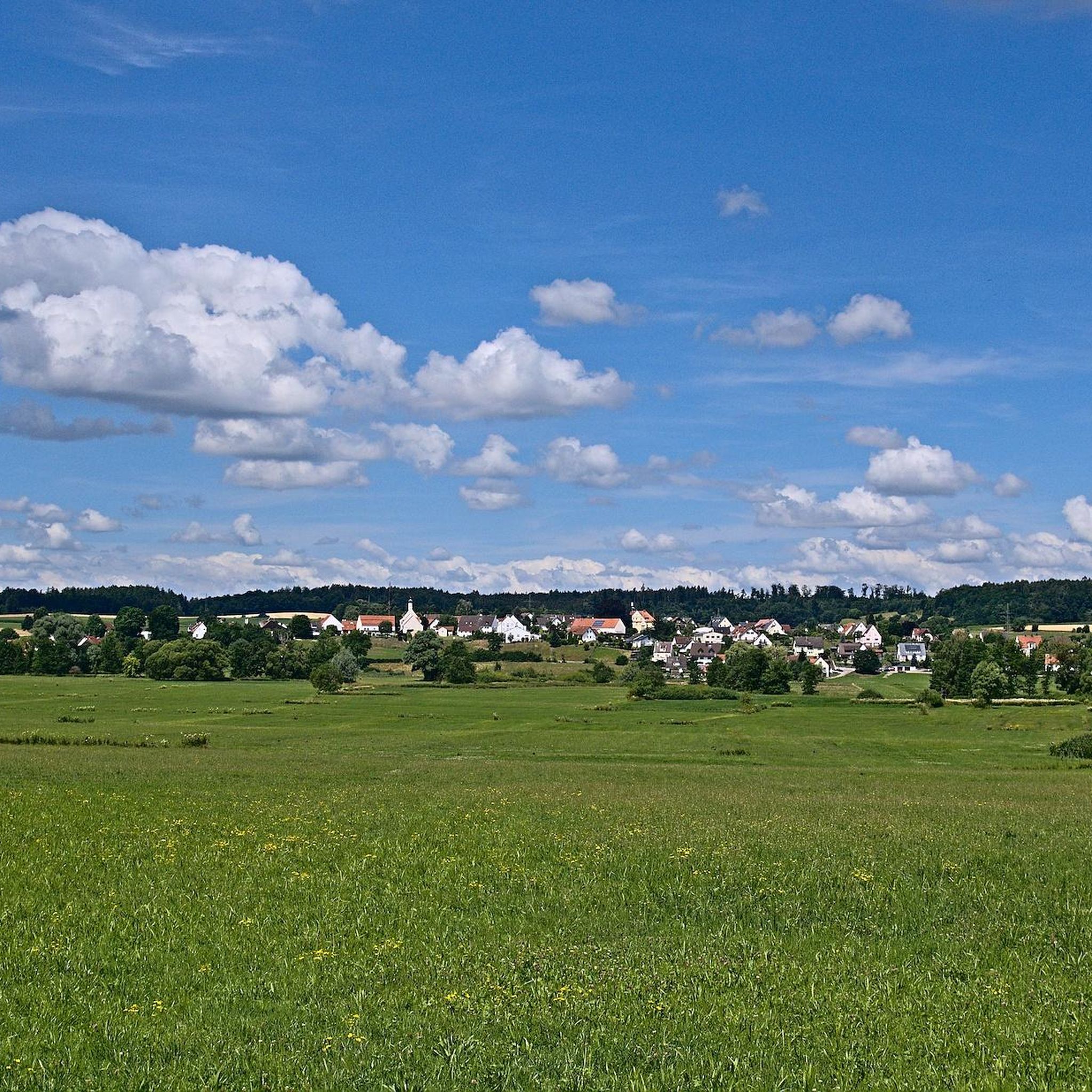
Hiking around Neusäß offers access to varied landscapes, characterized by river valleys, gentle hills, and forested areas. The region provides a network of trails suitable for different activity levels, often featuring historical points of interest and natural springs. These routes traverse the local countryside, connecting communities and natural spaces.
Best hiking trails around Neusäß
- The most popular hiking route is Schmutter Trail Parking Area – View over the Schmutter Valley loop from Hammel, a 3.6 miles (5.9 km) trail…
Last updated: June 27, 2026
4.4
(65)
215
hikers
Easy hike. Great for any fitness level. Easily-accessible paths. Suitable for all skill levels.
4.4
(74)
247
hikers
Easy hike. Great for any fitness level. Easily-accessible paths. Suitable for all skill levels.

Sign up for free
4.3
(16)
55
hikers
9.39km
02:34
140m
140m
Moderate hike. Good fitness required. Easily-accessible paths. Suitable for all skill levels.
4.9
(12)
86
hikers
Moderate hike. Good fitness required. Easily-accessible paths. Suitable for all skill levels.
4.5
(6)
28
hikers
8.17km
02:10
80m
80m
Moderate hike. Good fitness required. Easily-accessible paths. Suitable for all skill levels.
Get access to more routes and recommendations from other explorers.
Sign up for free
Already have an account?
Our route recommendations are based on thousands of hikes, rides, and runs completed by other people on komoot.
Start today with a free account
Your next adventure awaits.
Login or Signup




Tips from the Community

The sulfur spring is located in the "Rauhen Forst" between Rettenbergen and Aystetten
1
0
In the 19th century, a comprehensive redesign was carried out by the architect Jean Keller, who also designed the magnificent grand hall.
1
0

There are two great picnic benches and a table for making a snack! Definitely try it out.
1
0

Several old oak trees, each with a bench for comfortable seating. On hot summer days, it's lovely to sit here in the shade and listen to the birds.
0
0

The nativity scene is a great idea even though Christmas is already over.
0
0

This Bismarck Tower was built in 1901.
0
0

Small biotope with a view of the Schmuttertal
0
0

Nice!
0
0
Frequently Asked Questions
How many hiking trails are available around Neusäß?
Neusäß offers a wide selection of hiking opportunities, with over 160 routes available. These trails cater to various skill levels, including 96 easy, 65 moderate, and 4 difficult options.
What do other hikers enjoy most about the trails in Neusäß?
The hiking trails around Neusäß are highly rated by the komoot community, holding an average score of 4.3 stars from over 350 reviews. Hikers often appreciate the varied landscapes, which include river valleys, gentle hills, and forested areas, as well as the presence of historical sites and natural springs.
Are there easy hikes suitable for beginners in Neusäß?
Yes, Neusäß has plenty of easy hiking routes. An excellent option for beginners is the Schmutter Trail Parking Area – View over the Schmutter Valley loop from Hammel, which is 3.6 miles (5.9 km) long and offers pleasant views.
Are there family-friendly hiking options in Neusäß?
Many of the easy and moderate trails in Neusäß are suitable for families. The region's gentle hills and forested paths provide a pleasant environment for walks with children. Consider routes that pass by interesting landmarks or natural features to keep younger hikers engaged.
What kind of scenery can I expect on hikes around Neusäß?
Hikes around Neusäß feature diverse scenery, including picturesque river valleys, tranquil forested sections, and gentle rolling hills. You'll also encounter historical sites like castles and natural springs, adding to the visual interest of the trails.
Are there circular hiking routes available in Neusäß?
Yes, many routes in Neusäß are designed as circular loops, allowing you to start and end at the same point. For example, the Sulfur Spring – Hammel Castle loop from Hammel is a moderate 5.8-mile (9.4 km) circular path that takes you past a natural spring and a historic castle.
What interesting places or landmarks can I see along the hiking trails in Neusäß?
The trails around Neusäß often lead past interesting landmarks and natural features. You might encounter historical sites like Hammel Castle or Hainhofen Castle. Natural attractions include the Anhauser Valley, the Fir Pond, and various river sections like the Schmutter and Wertach.
Are there any challenging hikes for experienced hikers near Neusäß?
While most trails are easy to moderate, there are a few more challenging options. The Hainhofen Hollow Way – Hammel Castle loop from Westheim (Schwab) is a difficult 14.1-mile (22.7 km) route with significant elevation gain, suitable for experienced hikers looking for a longer excursion.
Is it possible to reach hiking trails in Neusäß using public transport?
Neusäß is well-connected within the Augsburg region, and many starting points for hikes can be accessed via local public transport. It's advisable to check local bus or train schedules for specific trailheads before planning your trip.
Where can I find parking for hiking trails in Neusäß?
Many popular trailheads around Neusäß, especially those for longer or more established routes, offer designated parking areas. For instance, the Schmutter Trail Parking Area – View over the Schmutter Valley loop from Hammel explicitly mentions a parking area at its starting point.
Are there options for winter hiking in Neusäß?
While specific winter-maintained trails are not highlighted, the generally gentle terrain and forested areas of Neusäß can be suitable for winter hiking, especially on cleared paths or after light snowfall. Always check local conditions and weather forecasts before heading out in winter.
Are there hikes with pub stops or places to eat along the way?
The region around Neusäß, being close to communities, often features opportunities for pub stops or places to eat. Some routes may pass by local inns or beer gardens, such as the Kulperhütte beer garden on the Wertach, which is a popular spot near some trails.
How long do hikes typically take in Neusäß?
Hike durations in Neusäß vary significantly depending on the route's length and difficulty. Easy trails like the Schmutter Trail Parking Area – View over the Schmutter Valley loop from Hammel can be completed in about 1 hour 37 minutes, while longer, more challenging routes can take several hours.
Most popular attractions around Neusäß

Get inspired with the komoot mobile app


Explore more
Browse the best Hikes in other regions.
