The 7 Most Amazing Peaks around Kirchlauter
Best mountain peaks around Kirchlauter are found within the gently rolling hills of the Haßberge mountains. This region, part of the Haßberge Nature Park, features extensive mixed forests and numerous footpaths. While not traditional towering peaks, the area offers elevated viewpoints and scenic hills ideal for rewarding hiking experiences. These locations provide panoramic vistas over the Main valley and surrounding villages.
Best mountain peaks around Kirchlauter
- The most popular mountain peaks is Spitzberg Summit Cross, a summit that offers…
Last updated: June 26, 2026
Bramberg Castle Ruins
Highlight • Castle
Showing Translation
Tip by

Veitenstein Rock Formation
Highlight • Natural Monument
Translated by Google •
Tip by

Sign up now to discover places like this
Get recommendations on the best single tracks, peaks, & plenty of other exciting outdoor places.
Sign up for free
Spitzberg Summit Cross
Highlight • Summit
Translated by Google •
Tip by

Summit Cross Hohe Wann
Highlight • Summit
Translated by Google •
Tip by

Haubeberg Summit (Communications Tower)
Highlight • Monument
Translated by Google •
Tip by

Sign up for free to discover even more peaks around Kirchlauter.
Sign up for free
Already have an account?
Start today with a free account
Your next adventure awaits.
Login or Signup

Other adventures around Kirchlauter

Tips from the Community

You will pass by here as part of the HINTERINDIEN.DE tour no. 31.
0
0

A journey into history with lots of information on the panels.
11
0
The ruins of Bramberg Castle are located within the Haßberge Nature Park on the summit of the 494.3-meter-high Bramberg, an extinct volcanic cone of the Heldburg Gangschar, approximately 2 kilometers northwest of the village of Bramberg, a western district of Ebern, and about 5 kilometers (as the crow flies) northeast of the city of Königsberg in Bavaria. It is surrounded by the Goßmannsdorf Forest. Source and further information: https://de.wikipedia.org/wiki/Burg_Bramberg_(Ha%C3%9Fberge)
12
0

Further information at: https://peakhunter.com/de/peaks/hohe-wann
1
0

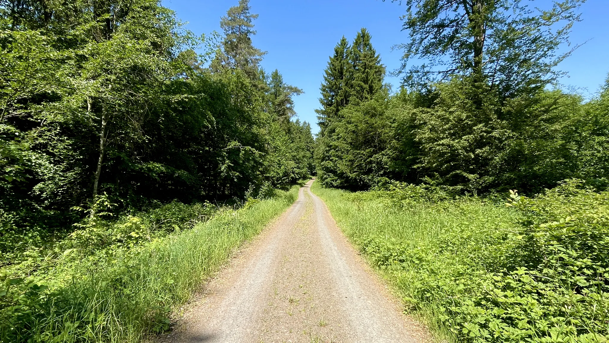
We briefly left the main hiking trail HAS.5 and walked up a wide path, which was initially paved and then turned into a wide forest path, also a little steeply up to the plateau of the Hohe Wann. This path was also used by forest vehicles. I visited here in winter, so I could look into the valley through the still leafless trees. There are benches here for a rest. I had previously read on the Highlight Trail that it is very dangerous, also because of falling trees. That's why I chose the wide path and walked back along it.
0
0

A completely normal mountain where a radio mast stands. Not 300 meters further is the Raueneck ruins
1
0

Unfortunately, the path up here was completely unkempt. And it was a great challenge to get to the cross through mud, tall grass and thorns.
1
0

Note the sometimes very old graffiti everywhere in the rocks
2
1
Frequently Asked Questions
What kind of mountain peaks can I expect to find around Kirchlauter?
The region around Kirchlauter, part of the Haßberge mountains, features gently rolling hills and low mountain ranges rather than traditional towering peaks. You'll discover numerous elevated viewpoints and scenic hills that offer breathtaking vistas and rewarding hiking experiences. These include locations with historical ruins, natural rock formations, and designated summit crosses.
Which mountain peaks offer the best panoramic views in the Kirchlauter area?
For exceptional views, consider visiting the Spitzberg Summit Cross, which provides a 360° all-round view of the Main Valley and the pilgrimage church Maria Limbach. The Bramberg Castle Ruins, perched high on the 494.3-meter-high Bramberg, also offers an incredible panoramic view. Additionally, the Veitenstein Rock Formation is a wonderful spot to sit and enjoy the scenery.
Are there any historical sites or ruins on the peaks near Kirchlauter?
Yes, the area is rich in history. You can explore the Bramberg Castle Ruins, which is the highest ruin in the region and offers a journey into history with informative panels. The Raueneck Ruins, accessible from a hiking car park, also provide views of the surrounding hills and typical half-timbered construction of Haßberge villages. The Veitenstein Rock Formation also has local legends associated with it, detailed on an information board.
What are the best seasons for hiking the mountain peaks around Kirchlauter?
Spring and autumn are considered the best seasons for hiking in the Haßberge mountains. During spring, you'll enjoy blooming meadows, while autumn offers vibrant fall foliage, both adding to the scenic charm of the trails.
Are there family-friendly hiking options among the peaks near Kirchlauter?
Absolutely. Many of the elevated locations and trails around Kirchlauter are suitable for families. The Spitzberg Summit Cross is noted as family-friendly. The region's 'gently rolling hills' make for enjoyable walks rather than challenging climbs, with easy hiking loops around areas like Pettstadt and Kirchlauter being popular choices for their accessibility and picturesque scenery.
What kind of natural features can I expect to see on these mountain peaks?
You'll encounter extensive mixed forests, diverse rock formations like the Veitenstein Rock Formation, and numerous viewpoints offering vistas over the Main valley and surrounding villages. The Haßberge Nature Park, where Kirchlauter is located, is known for its rich natural beauty.
What outdoor activities can I do near the mountain peaks around Kirchlauter?
Beyond hiking, the area offers various outdoor activities. You can find numerous routes for gravel biking and mountain biking. For gravel biking, explore routes like the 'Böhlgrund Trails' or 'Weißfichtensee – Bramberg Castle Ruins loop' from Ebelsbach-Eltmann. Mountain biking enthusiasts can try trails such as 'The beautiful Rennweg' or 'Raueneck Castle Ruins – Eyrichshof Castle loop'. You can find more details on these activities in the Gravel biking around Kirchlauter and MTB Trails around Kirchlauter guides.
Are there easy hiking trails available around Kirchlauter's elevated areas?
Yes, there are many easy hiking trails. For instance, the 'View of Kirchlauter – Pettstadter Knock loop' and the 'View of Pettstadt – Goose Fountain, Pettstadt loop' from Kirchlauter are popular for their accessibility and picturesque scenery. These trails are suitable for all fitness levels and feature easily accessible paths. More easy options can be found in the Easy hikes around Kirchlauter guide.
What do visitors particularly enjoy about the mountain peaks and viewpoints near Kirchlauter?
Visitors frequently praise the incredible views, especially from spots like the Spitzberg Summit Cross, which offers a 360° panorama. The historical significance of sites like the Bramberg Castle Ruins and the unique natural formations such as the Veitenstein Rock Formation are also highly appreciated. The overall combination of natural beauty and historical sites within the Haßberge Nature Park makes for a rewarding experience.
Is the Haubeberg Summit worth visiting for views?
The Haubeberg Summit, at 428 meters high, is notable for its radio mast. However, it is a wooded peak and does not offer expansive views directly from the summit. For panoramic vistas, you might prefer other nearby locations like the Raueneck Ruins, which are only a few hundred meters away.
What is the significance of the Summit Cross Hohe Wann?
The Summit Cross Hohe Wann stands at 388 meters high and features a cross originally erected in 1720. It is located within a nature reserve and offers glimpses of surrounding towns, particularly in spring. While the path can be challenging, many find the ascent worthwhile for the historical cross and the natural surroundings.
Most popular routes around Kirchlauter
Most popular attractions around Kirchlauter

Get inspired with the komoot mobile app


Explore more
See even more amazing summits around Kirchlauter with these guides:
