Top 4 Gorges around Oberbettingen
Best canyons around Oberbettingen are found within the Volcanic Eifel region, particularly the Gerolsteiner Dolomiten. This area is characterized by dramatic geological formations, including towering dolomite cliffs that rise above the Kyll valley. These landscapes offer unique insights into ancient geological processes, with rocks formed approximately 380 million years ago from a subtropical sea. The region provides a natural setting for outdoor activities, showcasing a blend of geological significance and diverse ecosystems.
Best canyons around Oberbettingen
- The most popular canyons…
Last updated: June 26, 2026
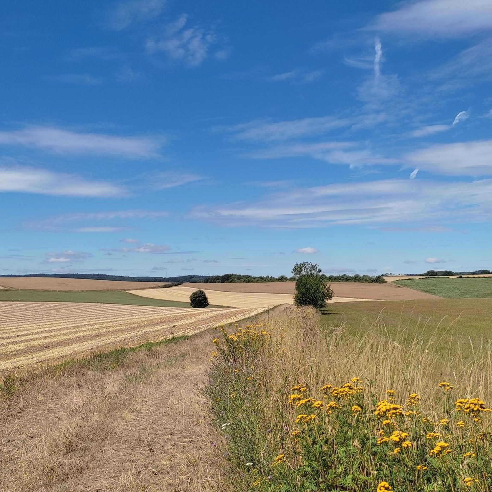
View of Gerolstein from the Munterley
Highlight • Viewpoint
Translated by Google •
Tip by

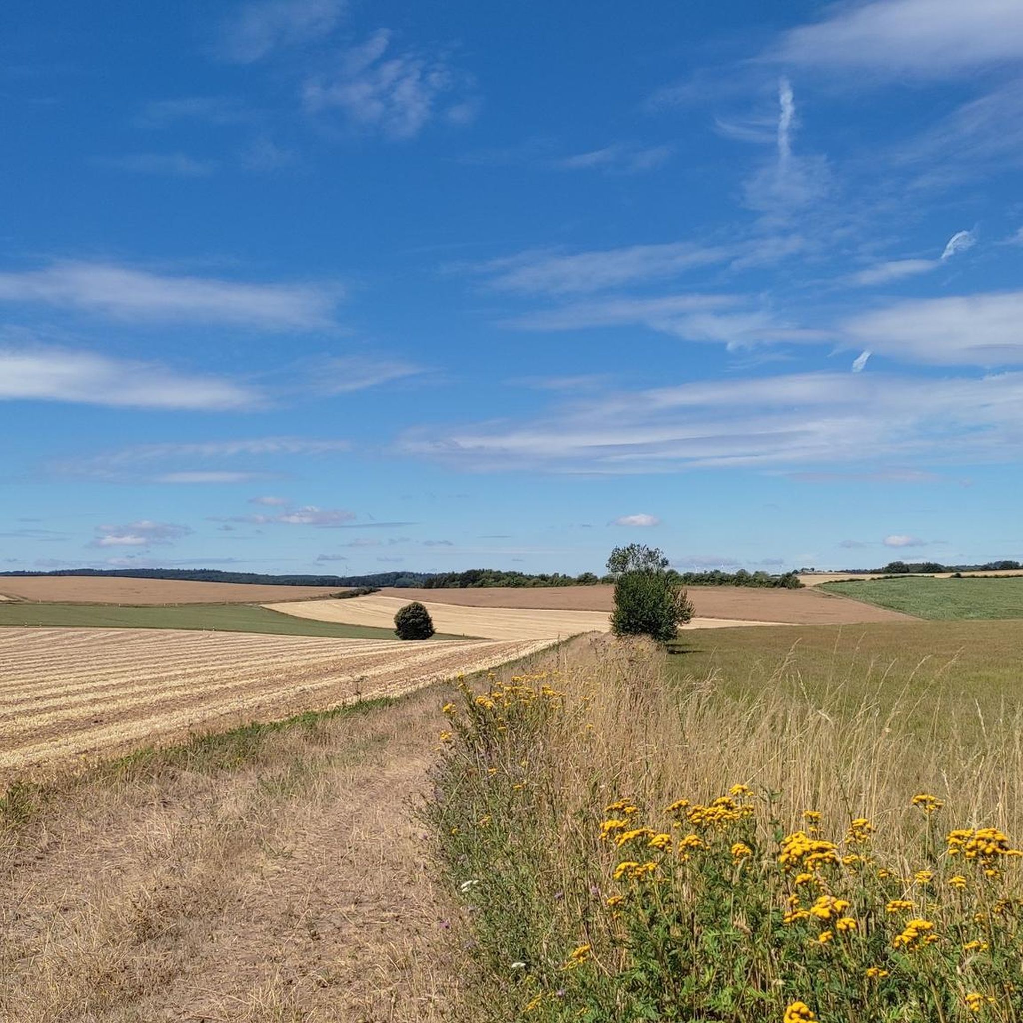
Lampertstal
Highlight (Segment) • Gorge
Depending …
Translated by Google •
Tip by

Sign up now to discover places like this
Get recommendations on the best single tracks, peaks, & plenty of other exciting outdoor places.
Sign up for free
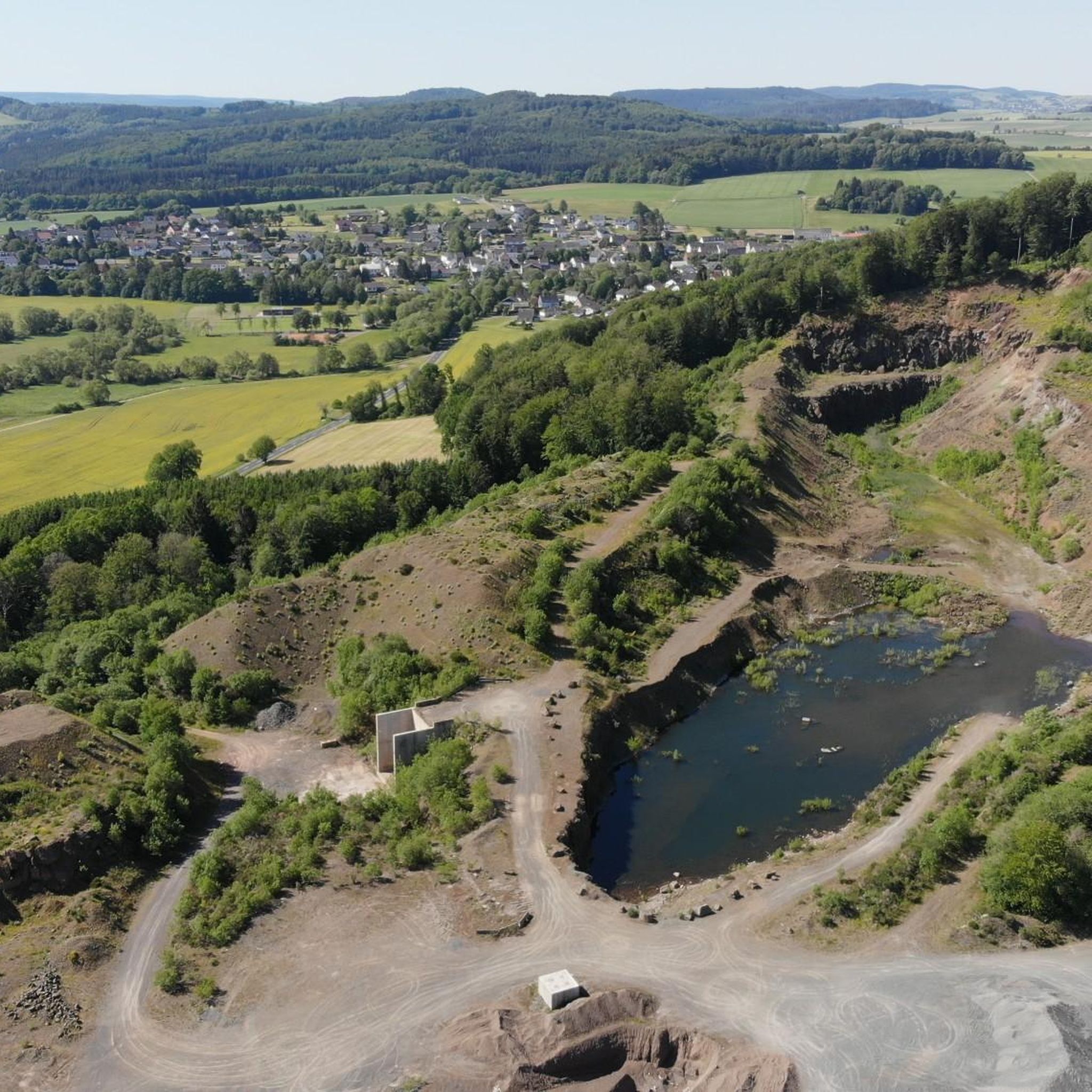
Bolsdorfer Valley
Highlight • Gorge
Translated by Google •
Tip by

Martins Cave
Highlight • Cave
Translated by Google •
Tip by

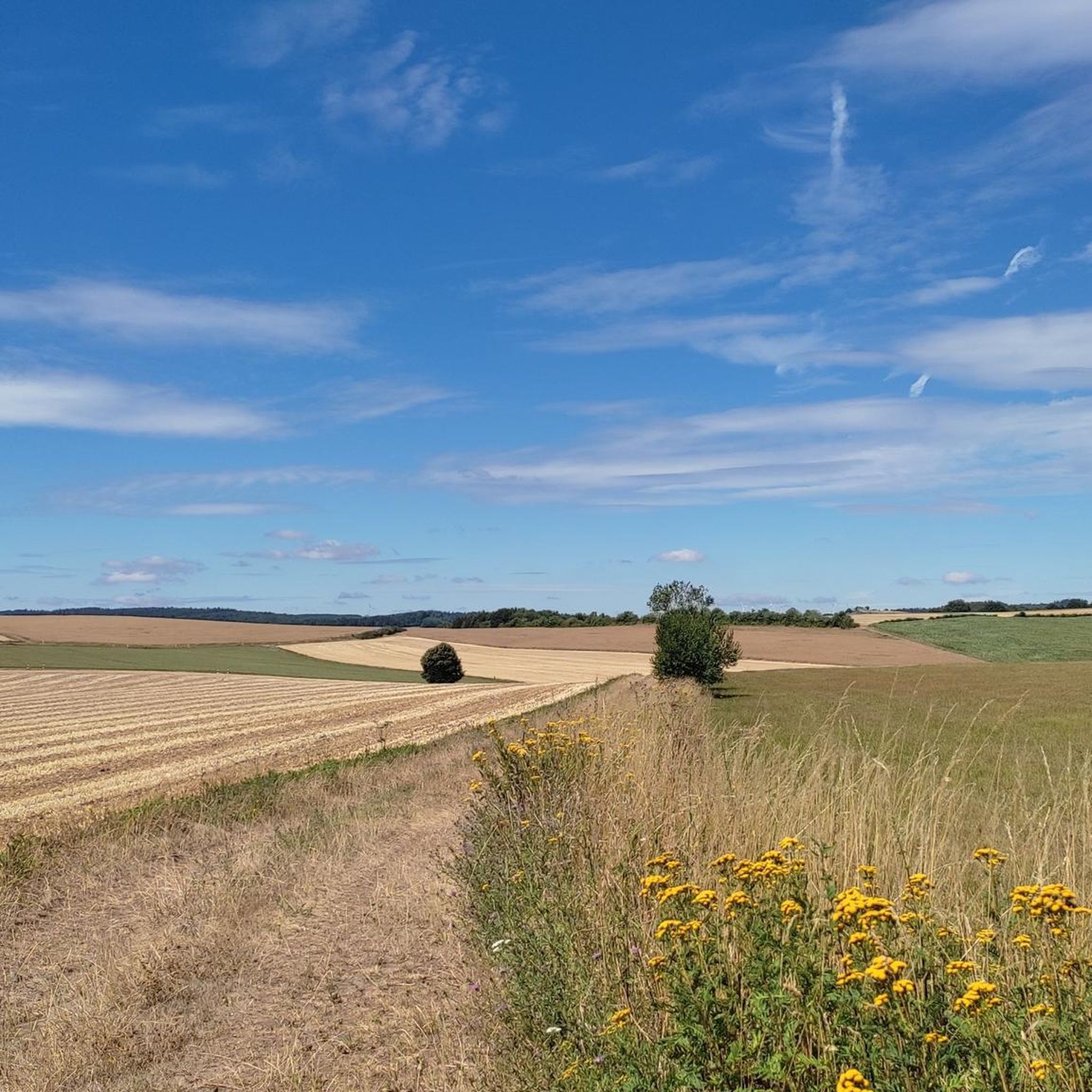
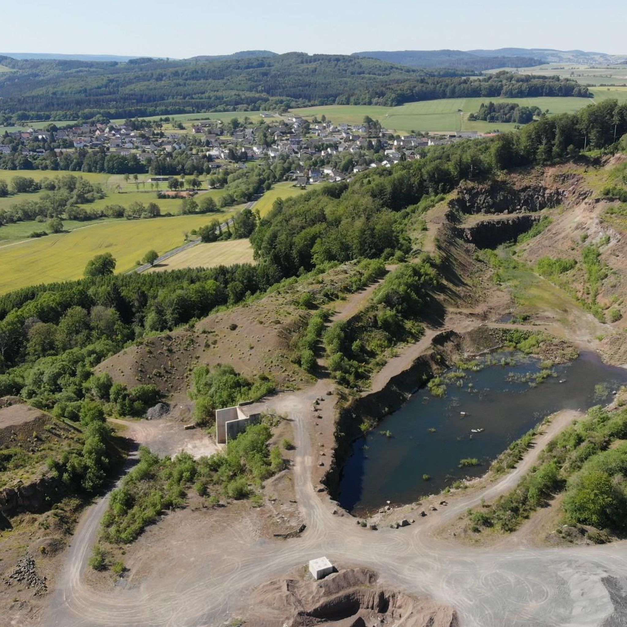
Basalt Gorge in Vulkaneifel Geopark
Highlight • Gorge
Translated by Google •
Tip by

Sign up for free to discover even more gorges around Oberbettingen.
Sign up for free
Already have an account?
Start today with a free account
Your next adventure awaits.
Login or Signup

Tips from the Community

Starting from Hillesheim, the so-called "Bolsdorfer Tälchen" is a popular destination for walkers or hikers who just want to take a short stroll (although the path is also shared with cyclists). On a longer hike, the route can be easily planned as a stopover.
5
0

The caves can be explored with the help of a flashlight.
2
0
Very beautiful and well-kept Marian grotto.
2
0

This place is on the 9th stage of the Eifelsteig. https://youtu.be/N70Jlu7ITRU
0
0

🤔... just enjoy 🤫
2
0

After the basalt blocks, this small gorge opens with an almost vertical rock wall.
2
0


Very beautiful valley for hiking or cycling.
3
0
Frequently Asked Questions
What are the main geological formations resembling canyons near Oberbettingen?
The most prominent canyon-like formations near Oberbettingen are the Gerolsteiner Dolomiten in the Volcanic Eifel region. These impressive dolomite cliffs, formed approximately 380 million years ago from ancient reefs in a subtropical sea, rise dramatically above the Kyll valley. Key features include the Munterley, Hustley, Drohende Ley, Große Kanzel, and Auberg.
Are there family-friendly hiking options in the canyon areas around Oberbettingen?
Yes, several areas offer family-friendly hiking. The Lampertstal nature reserve features tranquil trails suitable for families. Additionally, the Bolsdorfer Valley recreation area provides excellent cycling and hiking trails, including a barefoot path, making it enjoyable for all ages. The trails in the Gerolsteiner Dolomiten are generally well-suited for various fitness levels, though some narrow paths require surefootedness.
What unique natural features can I explore in the canyons near Oberbettingen?
You can explore a unique blend of geological and ecological features. The Gerolsteiner Dolomiten showcase ancient limestone reefs, volcanic basalt, and tuff rock, telling a story of ancient seas and volcanic activity. The Lampertstal is a nature reserve known for its diverse flora, including various orchid species and juniper bushes. You can also visit the Buchenloch Cave, an impressive vault formed over 1.8 million years ago.
What historical or cultural sites are located near these canyon-like areas?
The region offers several points of historical interest. The Buchenloch Cave, located on the edge of the Munterley Plateau, provided shelter for Stone Age inhabitants 30,000 years ago. Along the hiking trails in the Gerolsteiner Dolomiten, you can also encounter two medieval walls. The Bolsdorfer Valley features the Hillesheim city wall and the historic bakehouse and 'Little Museum Bolsdorf' in Bolsdorf.
What are the best hiking trails to experience the Gerolsteiner Dolomiten?
The Gerolsteiner Dolomiten Acht is a premium circular hiking route, approximately 16 kilometers long, that integrates two Eifelsteig partner trails: the Gerolsteiner Felsenpfad (Rock Trail) and the Gerolsteiner Keltenpfad (Celtic Trail). The Rock Trail specifically provides access to the dolomite massif and offers magnificent distant views and geological insights.
When is the best time to visit the canyons and rock formations around Oberbettingen?
The best time to visit is generally from spring to autumn. During these seasons, the weather is most favorable for hiking and exploring the outdoor landscapes. From April to October, guided adventure hikes to the Gerolsteiner Dolomiten are also available, offering deeper insights into the region's nature and geology. Spring brings blooming orchids to areas like the Lampertstal.
Are there any caves to explore near the canyons?
Yes, the Buchenloch Cave is a notable cave located on the edge of the Munterley Plateau in the Gerolsteiner Dolomiten. This impressive vault is approximately 30 meters long and 4 meters wide. Another interesting spot is Martins Cave, which is part of a varied hiking trail and offers a unique grotto experience. Remember to bring a flashlight when exploring caves.
What outdoor activities can I do near these canyon-like areas besides hiking?
Beyond hiking, the region offers various outdoor activities. You can find excellent cycling and mountain biking opportunities, particularly in the cycling routes around Oberbettingen and MTB trails. The Bolsdorfer Valley recreation area is particularly well-suited for both cycling and hiking.
What do visitors enjoy most about the canyon-like landscapes around Oberbettingen?
Visitors highly appreciate the dramatic geological formations and the panoramic views, especially from viewpoints like the View of Gerolstein from the Munterley. The tranquility and rich biodiversity of nature reserves such as the Lampertstal are also frequently praised. The varied hiking trails and the unique insights into ancient geological processes make the area a captivating destination for nature lovers and outdoor enthusiasts.
Are there any specific geological sites to observe volcanic activity near the canyons?
While the main canyon-like features are dolomite formations, the surrounding Volcanic Eifel region is known for its volcanic past. You can observe volcanic landscapes and features such as the caldera in the Bolsdorfer Valley. Additionally, the Lava Quarry on Baarley offers a precise view of rock layers, showcasing the region's volcanic history.
How accessible are the trails in the Gerolsteiner Dolomiten, and what should I wear?
The trails in the Gerolsteiner Dolomiten are generally accessible, but some narrow, natural paths require a certain degree of surefootedness. It's recommended to wear sturdy hiking boots with good grip. Layered clothing is advisable to adapt to changing weather conditions, and bringing water and snacks is always a good idea for longer hikes.
Can I bring my dog on the trails in the canyon areas?
Many trails in the Volcanic Eifel region, including those around the Gerolsteiner Dolomiten and in areas like the Lampertstal and Bolsdorfer Valley, are dog-friendly. However, it's always best to keep dogs on a leash, especially in nature reserves, to protect local wildlife and ensure a pleasant experience for all visitors.
Most popular routes around Oberbettingen
Most popular attractions around Oberbettingen

Get inspired with the komoot mobile app


Explore more
Already discovered everything in this region? See additional gorges around Oberbettingen for your next adventure:
