The 4 Most Amazing Peaks around Meggenhofen
Best mountain peaks around Meggenhofen are found in a region of Upper Austria primarily characterized by farmland and forested areas. While the municipality itself has a low elevation, the surrounding Hausruckviertel region offers elevated points and viewpoints. These locations provide opportunities for exploring the local terrain and enjoying panoramic views.
Best mountain peaks around Meggenhofen
- The most popular mountain peaks is Krailberg Summit Cross (504 m), a summit that marks the highest point of the Wels-Land district at 504…
Last updated: June 26, 2026
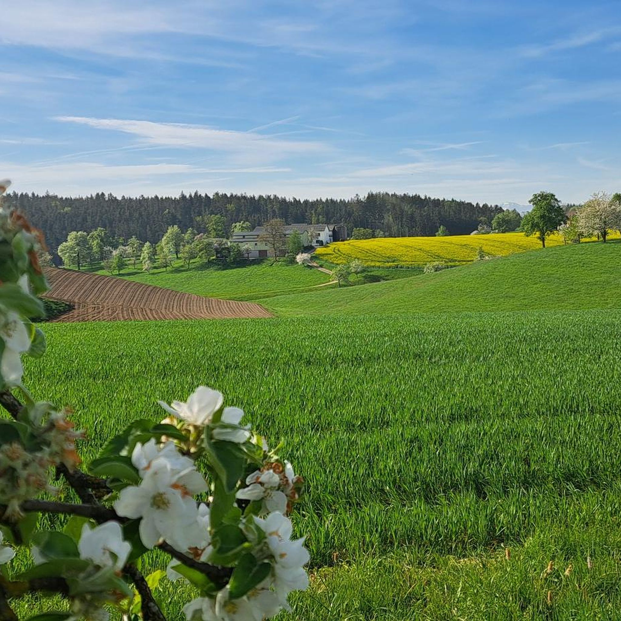
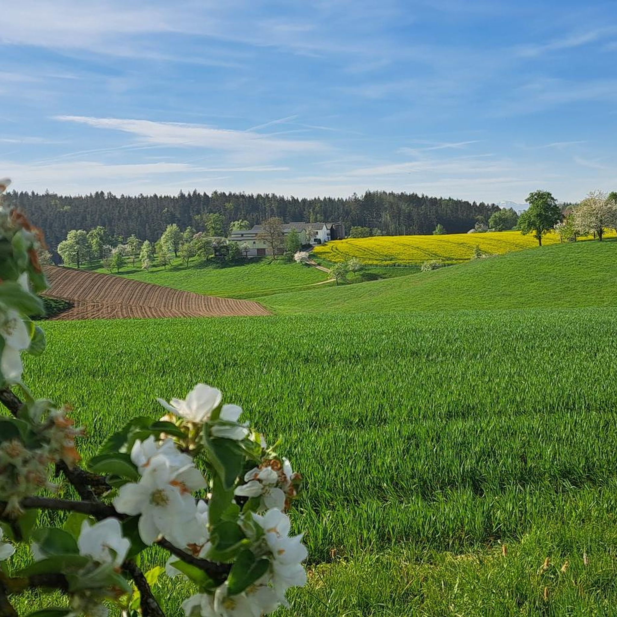
Krailberg Summit Cross (504 m)
Highlight • Summit
Translated by Google •
Tip by

Irrachhöhe
Highlight • Viewpoint
Translated by Google •
Tip by

Sign up now to discover places like this
Get recommendations on the best single tracks, peaks, & plenty of other exciting outdoor places.
Sign up for free
Krailberg Summit and Survey Point
Highlight • Summit
Translated by Google •
Tip by

Krailberg Summit (504 m) – Highest Point of Wels-Land District
Highlight • Summit
Translated by Google •
Tip by
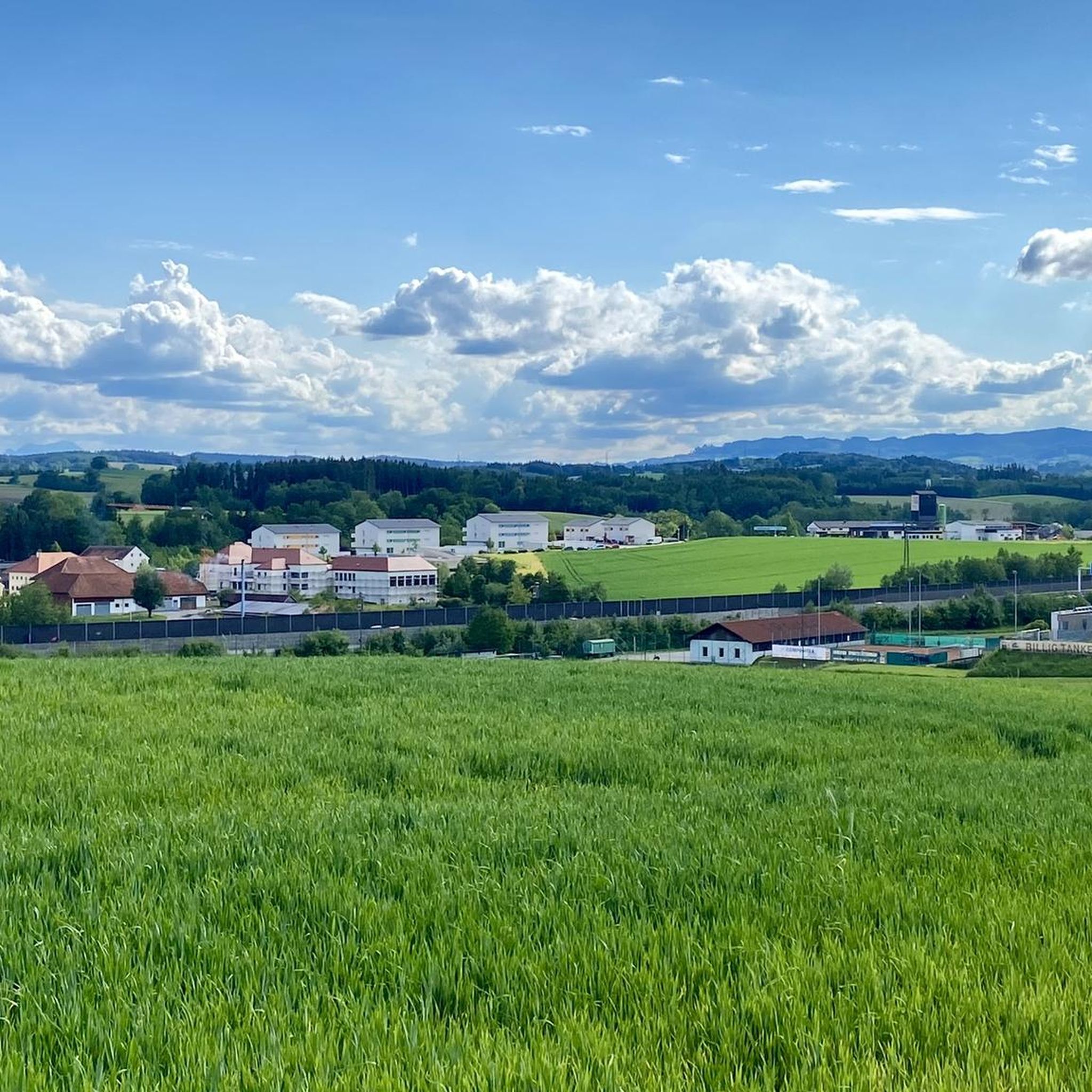
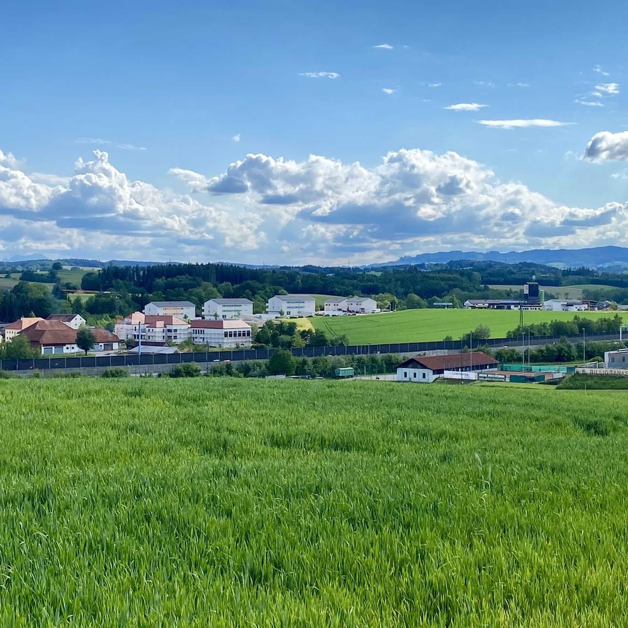
View from Irracher Höhe
Highlight • Viewpoint
Translated by Google •
Tip by

Sign up for free to discover even more peaks around Meggenhofen.
Sign up for free
Already have an account?
Start today with a free account
Your next adventure awaits.
Login or Signup
Tips from the Community


Halfway point of the Krailbergrunde, good rest stop
1
0


There is no path leading to this summit point, but you will find a summit pole with a name and a trash can there.
1
0
The Irracher Höhe was searched for and found, quite hidden. Thanks to Peakfinder our search was successful
1
0

The highest point in the Wels-Land district is on the Steindlberg at 513m. That's 9m higher than the famous Krailberg.
1
0

The actual summit/surveying point is about 100m north of the summit cross and is recognizable by a marker stone
0
0
Coming from the south (vineyard), enter the forest, then turn left (do not go around the forest to the southwest, it will be difficult there), from the north (staffel) there are 2 steeper paths leading up, we used the left one around the outside, at the top it is then comfortably flat in the forest to the summit cross
0
0
Frequently Asked Questions
What are the most notable elevated points or 'peaks' around Meggenhofen?
The most notable elevated point is the Krailberg Summit Cross (504 m), which marks the highest point of the Wels-Land district. Another popular spot is the View from Irracher Höhe, offering panoramic views.
What kind of views can I expect from the elevated points in the Meggenhofen area?
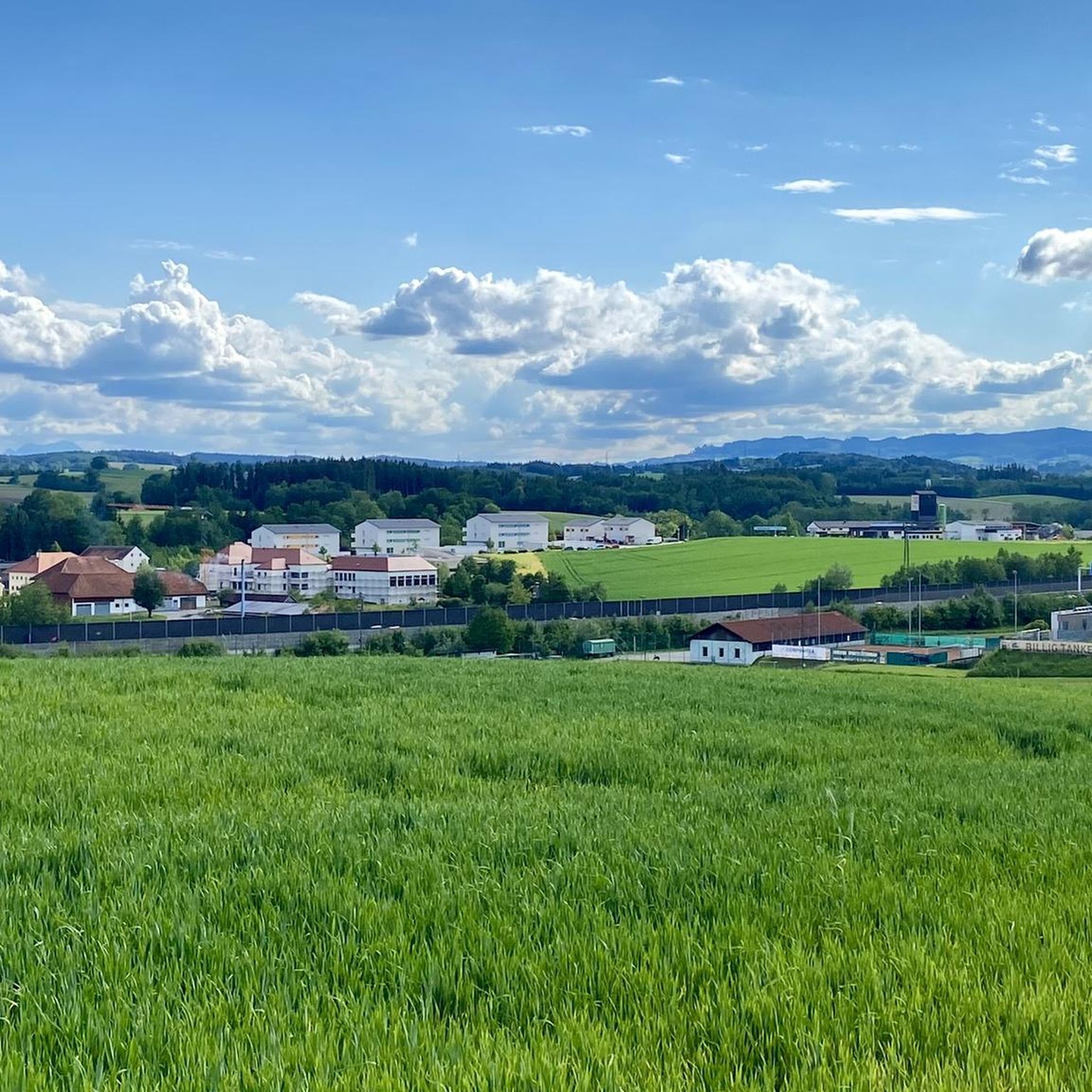
From the View from Irracher Höhe, you can expect scenic views towards the city of Wels and the Trauntal valley. The Krailberg area, while often forested, also provides glimpses of the surrounding landscape from its summit.
Are there family-friendly hiking options near Meggenhofen's elevated points?
Yes, the region offers various hiking opportunities suitable for families. While specific 'mountain' trails are limited due to the area's geography, you can find easy hikes around Meggenhofen. For example, the Irrachhöhe is noted as family-friendly.
What is the terrain like for hiking to these elevated points?
The terrain around Meggenhofen primarily consists of farmland and forested areas. Paths to elevated points like the Krailberg often involve walking through forests, with some routes being steeper than others. The overall elevation is relatively low, making for generally accessible hikes rather than strenuous mountain climbs.
What outdoor activities can I do near the elevated points around Meggenhofen?
Besides visiting the elevated points, you can enjoy various outdoor activities. There are numerous hiking trails, including easy options like the 'Würting Reptile Museum – Würting Castle loop' or 'Gallspach Church – Nature Experience Park Gallspach loop'. For mountain biking, routes like the 'Schloss Würting Single Trail – Krailberg Summit Cross (504 m) loop' are available. You can explore more options in the Hiking around Meggenhofen and MTB Trails around Meggenhofen guides.
Are there specific hiking trails to reach the Krailberg Summit Cross?
Yes, there are different ways to reach the Krailberg Summit Cross (504 m), depending on your starting point and desired hike length. Some paths lead through forested areas, with options for both gentler and steeper ascents. One route mentioned is the 'Way of the Cross with wooden figures – Krailberg Summit Cross (504 m) loop from Bachmanning'.
Can I visit the elevated points around Meggenhofen during winter?
While the region is not known for high mountain peaks, some elevated areas like the Irrachhöhe are noted for offering 'super snowshoe tours,' suggesting that winter visits are possible and can offer unique experiences, especially with appropriate gear.
What do visitors appreciate most about the elevated points in this region?
Visitors appreciate the opportunities for enjoying the beautiful scenery and views, especially from spots like the View from Irracher Höhe. The Krailberg, as the highest point in the Wels-Land district, is a popular hiking destination for locals and visitors seeking a sense of achievement and exploration within the forested landscape.
Are there any hidden gems or less-known viewpoints in the Meggenhofen area?
While the View from Irracher Höhe is a known viewpoint, its exact location can be quite hidden, requiring a bit of searching to find the summit pole. This can make it feel like a discovery for those who seek it out.
Is public transport available to access hiking areas near Meggenhofen's elevated points?
Information on specific public transport routes directly to the trailheads of these elevated points is not detailed. However, Meggenhofen is a municipality in Upper Austria, and regional bus services typically connect such areas. It's advisable to check local public transport schedules for connections to nearby towns like Bachmanning or Gallspach, from where many hiking routes originate.
Are there any facilities like cafes or accommodation near the elevated points?
While the elevated points themselves are natural areas, the surrounding towns and villages like Meggenhofen, Gallspach, and Offenhausen offer various amenities. You can find cafes, pubs, and accommodation options in these communities, which serve as good starting points or resting spots for your explorations.
Most popular routes around Meggenhofen
Most popular attractions around Meggenhofen

Get inspired with the komoot mobile app


Explore more
See even more amazing summits around Meggenhofen with these guides:
