The best MTB trails around Meggenhofen
4.5
(566)
2,721
riders
252
rides
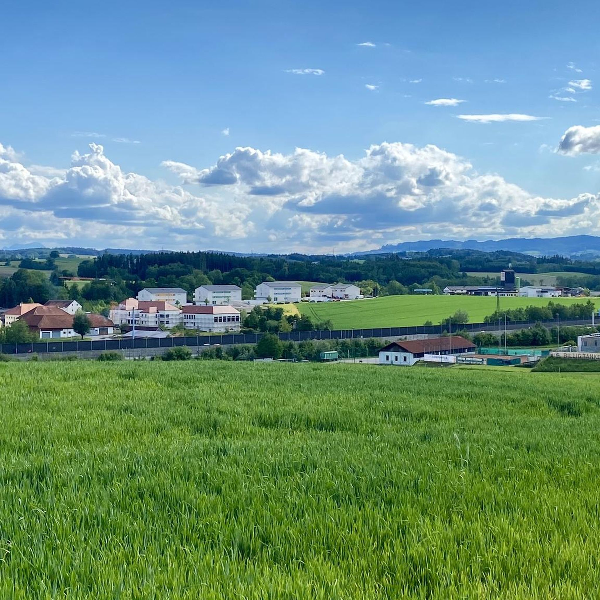
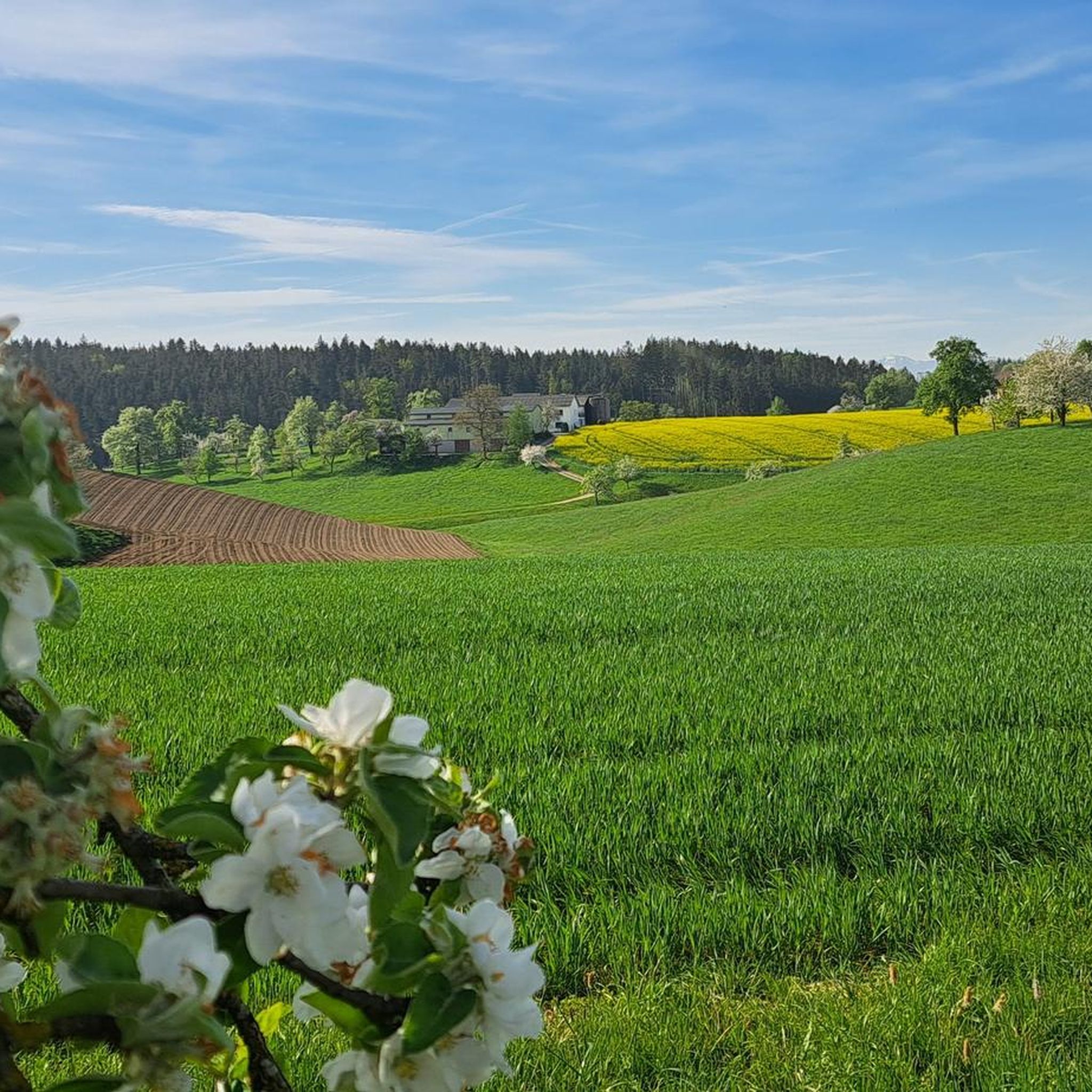
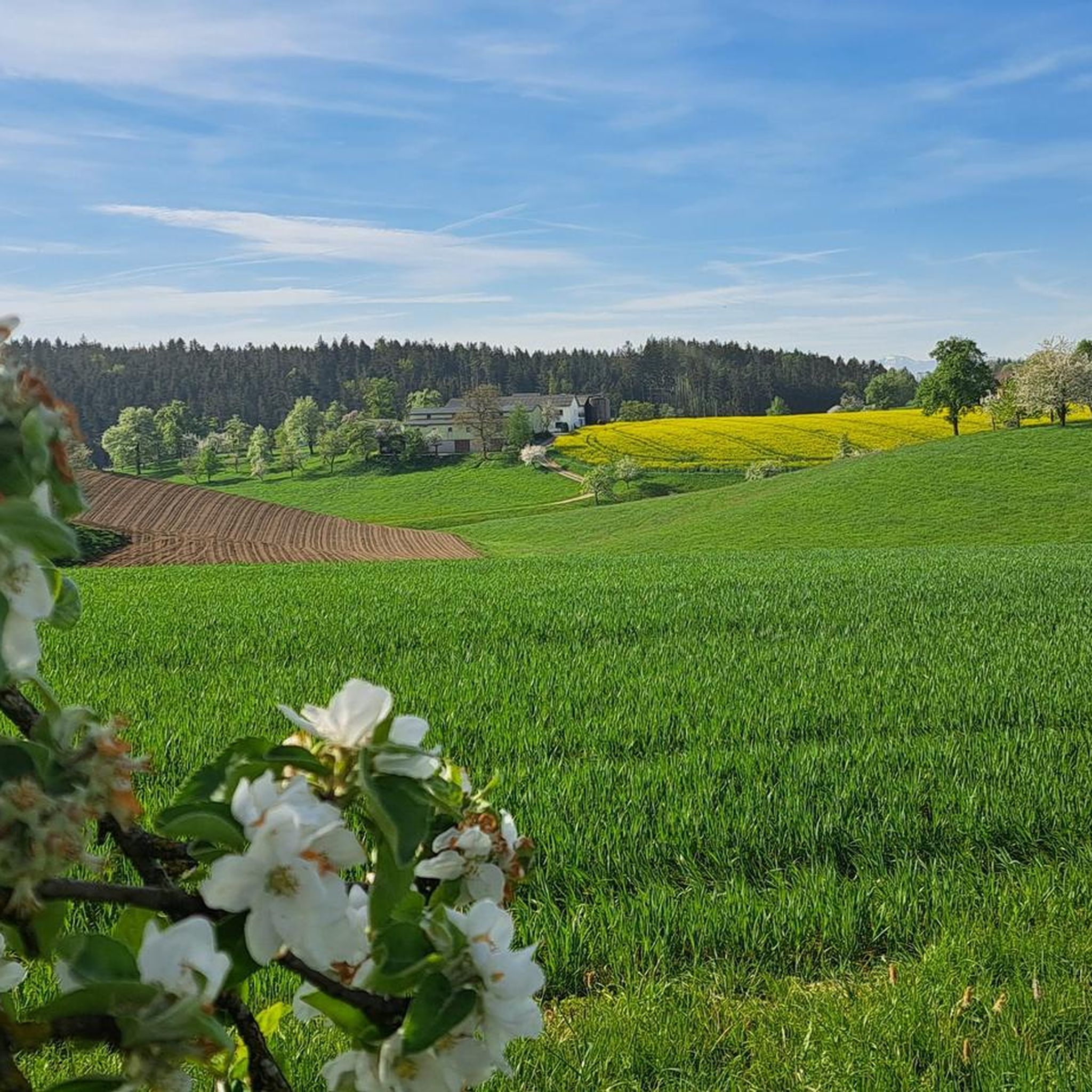
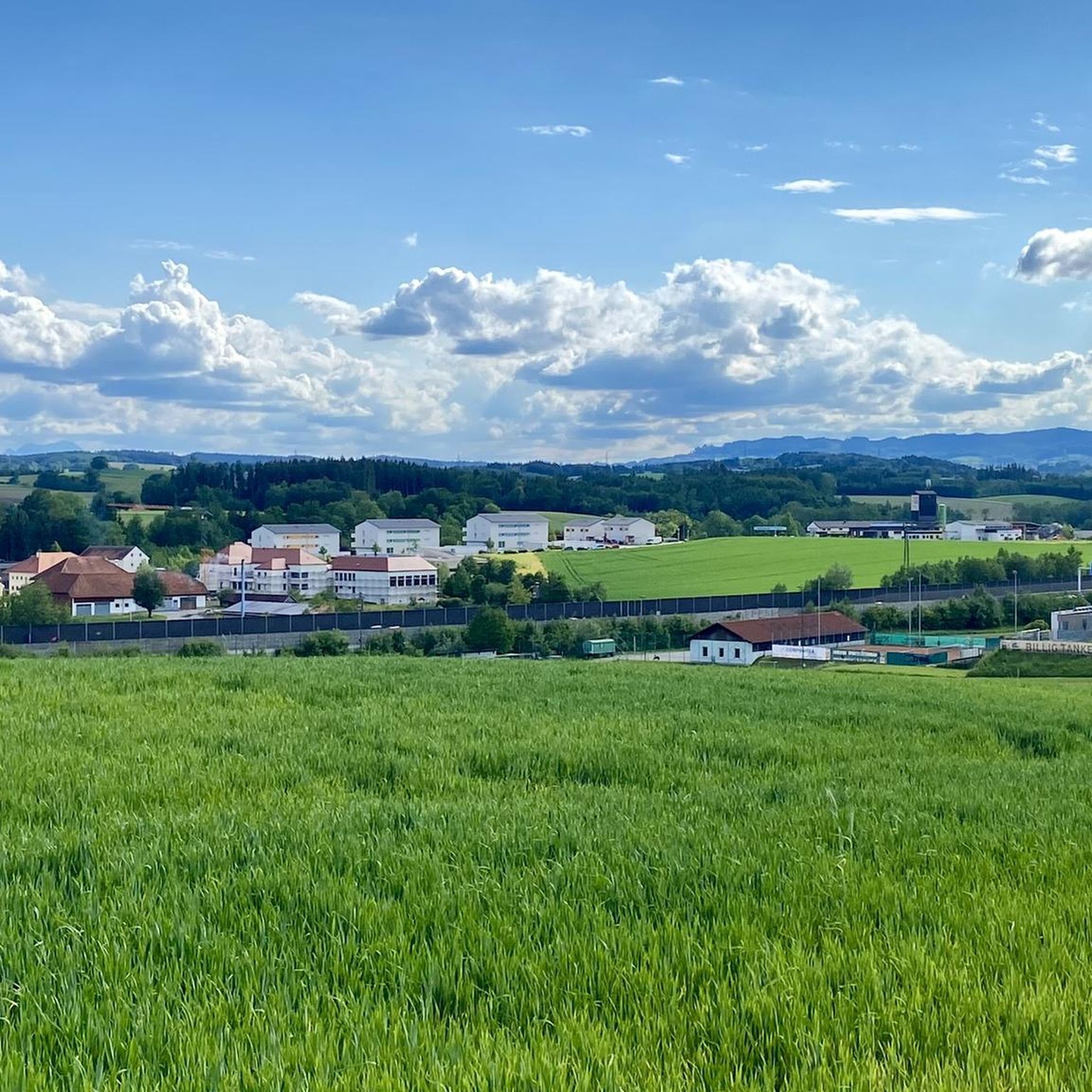
Mountain bike trails around Meggenhofen traverse a landscape characterized by rolling hills, dense forests, and agricultural fields. The region offers varied terrain suitable for mountain biking, with routes often leading through wooded areas and past open vistas. Elevations are generally moderate, with some routes reaching local high points like the Krailberg Summit.
Best mountain bike trails around Meggenhofen
- The most popular mountain bike trail is Schloss Würting Single Trail – Krailberg Summit Cross (504 m) loop from Bachmanning, a…
Last updated: July 1, 2026
3.0
(1)
5
riders
Moderate mountain bike ride. Great for any fitness level. Advanced riding skills necessary.
4.8
(4)
13
riders
36.5km
02:13
360m
360m
Moderate mountain bike ride. Good fitness required. Advanced riding skills necessary.

Sign up for free
4.6
(9)
11
riders
33.6km
02:20
520m
520m
Moderate mountain bike ride. Good fitness required. Suitable for all skill levels.
5.0
(2)
9
riders
23.2km
01:47
370m
370m
Moderate mountain bike ride. Good fitness required. Suitable for all skill levels.
3.7
(3)
7
riders
21.3km
01:38
330m
330m
Moderate mountain bike ride. Good fitness required. Advanced riding skills necessary.
Get access to more routes and recommendations from other explorers.
Sign up for free
Already have an account?
Our route recommendations are based on thousands of hikes, rides, and runs completed by other people on komoot.
Start today with a free account
Your next adventure awaits.
Login or Signup
Tips from the Community

nicely developed and perfect (racing) bike path
0
0

The Trattnach is a river in the Innviertel region of Upper Austria, flowing through Bad Schallerbach and providing popular hiking and cycling trails. Bad Schallerbach, a spa town with thermal baths, lies directly on its banks. [bergwelten +2]
1
0

Würting Castle has changed hands and is just emerging from its slumber! Worth seeing!
0
0

Huge, beautiful park to relax, hike, run, or take your dog.
2
0


Beautiful view of Grieskirchen with Tollet Castle from Kochlöffleck
0
0

It makes a very good impression. However, it was closed on Tuesday.
0
0
Frequently Asked Questions
How many mountain bike trails are available around Meggenhofen?
There are over 260 mountain bike routes in the Meggenhofen region, offering a wide variety of options for different skill levels and preferences.
Are there easy mountain bike trails suitable for beginners in Meggenhofen?
Yes, Meggenhofen offers a good selection of easier routes. Approximately 60 trails are classified as easy, making them suitable for beginners or those looking for a more relaxed ride. These routes typically feature moderate elevations and well-maintained paths through rolling hills and forests.
What is the typical duration of mountain bike trails in the Meggenhofen area?
The duration of trails varies, but many popular routes range from 1.5 to 3 hours. For example, the Schloss Würting Single Trail – Krailberg Summit Cross (504 m) loop from Bachmanning takes about 1 hour 21 minutes, while the Café-Konditorei Mayer – Malvent Snack Station loop from Gallspach is a longer ride, typically completed in around 2 hours 13 minutes.
Are there family-friendly mountain bike trails around Meggenhofen?
Many of the easier and moderate trails in Meggenhofen are suitable for families, especially those with some mountain biking experience. The region's rolling hills and forest paths provide a pleasant environment. Look for routes with lower elevation gains and shorter distances for younger riders.
Are there circular mountain bike trails in Meggenhofen?
Yes, many of the mountain bike routes around Meggenhofen are designed as loops, allowing you to start and end at the same point. Examples include the Daisy Field – Irrachhöhe loop from Offenhausen and the Europa Fountain, Bad Schallerbach – Bad Schallerbach Spa Park loop from Gallspach.
When is the best time of year to go mountain biking in Meggenhofen?
The best time for mountain biking in Meggenhofen is generally from spring through autumn (April to October). During these months, the weather is usually mild, and the trails are in good condition. Summer offers longer daylight hours, while spring and autumn provide pleasant temperatures and vibrant scenery.
What are the conditions like for mountain biking in Meggenhofen during winter?
Mountain biking in Meggenhofen during winter can be challenging due to colder temperatures, potential snow, and icy conditions. While some trails might be passable, many can become muddy or slippery. It's advisable to check local weather and trail conditions before heading out and to be prepared for winter riding if you choose to go.
Are there places to stop for refreshments or cafes along the mountain bike routes?
Yes, some routes pass by or near places where you can stop for refreshments. For instance, the Café-Konditorei Mayer – Malvent Snack Station loop from Gallspach explicitly mentions a café and a snack station, indicating opportunities for a break and a bite to eat.
Are there any scenic viewpoints along the mountain bike trails in Meggenhofen?
Absolutely. The region features several scenic spots. The Schloss Würting Single Trail – Krailberg Summit Cross (504 m) loop from Bachmanning leads to the Krailberg Summit Cross (504 m), offering panoramic views. Another notable viewpoint is Irrachhöhe, which can be found on routes like the Daisy Field – Irrachhöhe loop from Offenhausen.
What can I see along the mountain bike trails besides natural landscapes?
Beyond the natural beauty of rolling hills and forests, you can encounter historical landmarks. For example, the area is home to several castles. You might pass by structures like Würting Castle or Aistersheim Water Castle on various routes, adding a cultural element to your ride.
Can I bring my dog on the mountain bike trails in Meggenhofen?
While many outdoor areas in Austria are dog-friendly, it's always best to keep your dog on a leash, especially in forested areas or near agricultural land, to protect wildlife and respect local regulations. Be mindful of other trail users and ensure your dog is well-behaved and doesn't disturb livestock or other animals.
What do other mountain bikers enjoy the most about mountain biking in Meggenhofen?
The mountain bike trails around Meggenhofen are highly rated by the komoot community, with an average score of 4.5 stars from over 500 reviews. Riders often praise the varied terrain, which includes a mix of rolling hills, dense forests, and open agricultural fields, as well as the well-maintained paths suitable for different ability levels.
Most popular routes around Meggenhofen
Most popular attractions around Meggenhofen

Get inspired with the komoot mobile app


Explore more
Browse the best MTB trails in other regions.
