Ottenschlag im Mühlkreis
Ottenschlag im Mühlkreis
The 16 Most Amazing Peaks around Ottenschlag im Mühlkreis
Best mountain peaks around Ottenschlag im Mühlkreis are characterized by elevated points and hills rather than towering mountains, providing a scenic landscape in the Upper Mühlviertel region of Austria. These locations offer opportunities for hiking and enjoying panoramic views across the natural beauty of the area. The region features well-maintained paths suitable for various fitness levels, ranging from easy walks to moderate hikes. Some viewpoints extend over Reichenthal towards the Czech Republic and even to the Alps.
Best mountain peaks…
Last updated: July 9, 2026
Großer Zeißberg Summit
Highlight • Summit
Translated by Google •
Tip by

Ura Stoa Summit
Highlight • Summit
Translated by Google •
Tip by

Sign up now to discover places like this
Get recommendations on the best single tracks, peaks, & plenty of other exciting outdoor places.
Sign up for free
Dr. Walter Amon Observation Tower on Breitenstein
Highlight • Viewpoint
Translated by Google •
Tip by

Trölsberg Summit Cross
Highlight • Summit
Translated by Google •
Tip by

Kirchberg Summit Cross
Highlight • Summit
The summit cross of the Naturfreunde Neumarkt im Mühlkreis
commemorates the year 2010, when 30 years of the Neumarkt local group were celebrated.
Translated by Google •
Tip by

Sign up for free to discover even more peaks around Ottenschlag im Mühlkreis.
Sign up for free
Already have an account?
Start today with a free account
Your next adventure awaits.
Login or Signup
Popular around Ottenschlag im Mühlkreis
Tips from the Community

The Trölsberg (732 m) is easily accessible for everyone and is adorned with a beautiful summit cross and a cozy rest area.
0
0

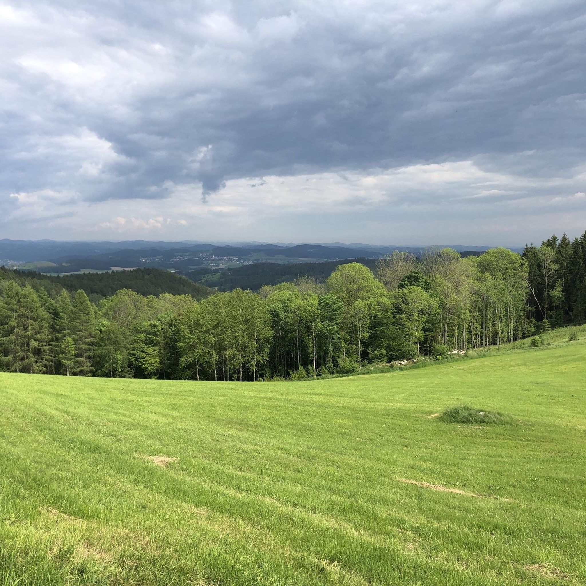
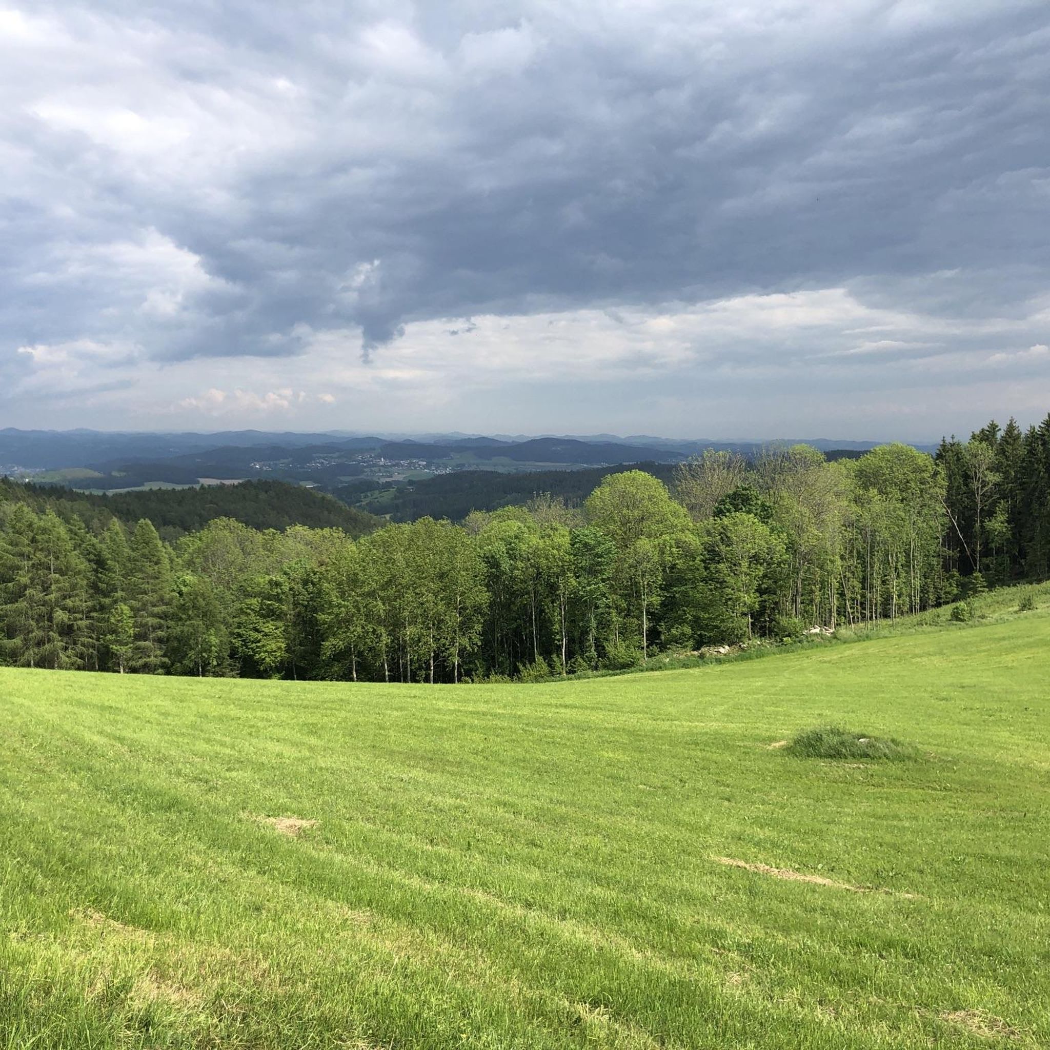
From here there is a truly beautiful panoramic view of the vast countryside.
0
0

Perfect for a small breakfast or an evening snack...
0
0

The Kirchberg, at 852 m, is the highest elevation in the municipality of Neumarkt im Mühlkreis. A summit cross belonging to the Naturfreunde Neumarkt im Mühlkreis commemorates the year 2010, when the Neumarkt local group celebrated its 30th anniversary.
0
0
Highest elevation (852 m) in the municipality of Neumarkt im Mühlkreis. The summit cross of the Naturfreunde Neumarkt im Mühlkreis commemorates the year 2010, when 30 years of the Neumarkt local group were celebrated.
1
0

From the west, the access is technically tricky (trail between the trees and stones), from the east side it is much easier to ride. Bike tracks can be found right up to the top - so there are some very motivated / brave people there 😎
0
0
Beautifully painted cell phone tower in front of the summit cross
0
0

There is a wooden bench with a table next to the cross where you can take a break. A pretty path surrounded by many mossy stones leads here. It is really worth a little trip.
1
0
Frequently Asked Questions
What are the most popular mountain peaks and viewpoints around Ottenschlag im Mühlkreis?
The region offers several popular elevated points and viewpoints. Highly regarded by visitors are the Dr. Walter Amon Observation Tower on Breitenstein, which provides a 360° view over the entire Mühlviertel and foothills of the Alps, and the Kirchberg Summit Cross, marking the highest elevation in the municipality of Neumarkt im Mühlkreis. Another favorite is the Ura Stoa Summit, known for its wide views and historical significance.
Are there family-friendly mountain peaks or trails in the area?
Yes, the region features well-maintained paths suitable for various fitness levels, including options for families. The Trölsberg Summit Cross is noted as family-friendly, offering a cozy bench and a path surrounded by mossy stones, making it a pleasant short trip for all ages.
What kind of natural features can I expect to see on these peaks?
The peaks and elevated points around Ottenschlag im Mühlkreis are characterized by granite formations, such as the Ura Stoa Summit with its 'Wollsacksteinen' geological formations. You'll also find diverse natural elements like mixed forests, wet forests, flower meadows, marshes, and ponds, especially in areas like the Roadlberg nature reserve. Many summits offer expansive panoramic views of the surrounding landscape.
Are there any historical or cultural sites on the mountain peaks?
Yes, several peaks have historical or cultural significance. The Ura Stoa Summit features a wooden plate with engraved runes, suggesting an old Celtic place of worship. Similarly, the Großer Zeißberg Summit is considered a geomatically important place of power, with legends of a Celtic cult site in the area. Many peaks, like Kirchberg Summit Cross and Trölsberg Summit Cross, are marked with summit crosses, which are traditional landmarks in Austrian mountain culture.
What outdoor activities can I do near the mountain peaks around Ottenschlag im Mühlkreis?
Beyond exploring the peaks themselves, the region offers a variety of outdoor activities. You can find numerous hiking trails, including moderate loops like the 'Bench With a View of the Alps – Ura Stoa Summit loop from Roadlberg'. There are also dedicated running trails and MTB trails for cyclists, catering to different difficulty levels.
Are there challenging hiking routes to the peaks?
While many trails are moderate, some routes offer more challenging sections. For instance, the loop from Ottenschlag im Mühlkreis to the Roadlberg Observation Tower and Summit Cross covers 14.8 km with an elevation gain of 430 meters, taking approximately 4 hours and 22 minutes, which can be considered a moderate challenge. The region's appeal lies in its well-maintained paths suitable for various fitness levels, from easy walks to more demanding hikes.
What are some of the best viewpoints in the Ottenschlag im Mühlkreis area?
For expansive views, the Dr. Walter Amon Observation Tower on Breitenstein is unparalleled, offering a 360° panorama extending to the Alps. The Ura Stoa Summit is also celebrated for its wide views, and the Hoad viewpoint / Ottenschlägerberg provides vistas over Reichenthal towards the Czech Republic.
What do visitors enjoy most about the mountain peaks around Ottenschlag im Mühlkreis?
Visitors frequently praise the serene beauty of the Mühlviertel landscape, the rewarding panoramic views, and the accessibility of the hiking trails. The tranquility of places like the Großer Zeißberg Summit and the unique geological features and historical elements, such as those at Ura Stoa Summit, are also highly appreciated.
Can I find circular hiking routes to the peaks?
Yes, there are several circular routes available. An example is the 'Bench With a View of the Alps – Ura Stoa Summit loop from Roadlberg', which is about 8.72 km long. Another popular option is the 'Roadlberg Observation Tower – Roadlberg Summit Cross loop from Ottenschlag im Mühlkreis', covering 14.8 km. These loops allow you to experience multiple points of interest in a single hike.
What is the highest point in the immediate vicinity of Ottenschlag im Mühlkreis?
The Dr. Walter Amon Observation Tower on Breitenstein is located at 945 meters above sea level, making it one of the highest accessible points offering panoramic views. The Helmetzedter Berg, at 924 meters, is also a significant elevated point in the broader vicinity.
Are there any specific natural reserves or protected areas near the peaks?
Yes, the broader Roadlberg area is a nature reserve. It features diverse natural elements such as mixed forests, wet forests, flower meadows, marshes, and ponds, making it particularly attractive for nature lovers. This area is accessible via hiking routes like the 'Roadlberg Observation Tower – Roadlberg Summit Cross loop'.
What are the typical hiking difficulties for trails leading to these peaks?
The hiking trails around Ottenschlag im Mühlkreis range from easy walks to moderate hikes. Many routes, such as those to the Roadlberg Summit Cross or Ura Stoa Summit, are classified as moderate, requiring a reasonable level of fitness. The well-maintained paths ensure accessibility for various skill levels.
Most popular routes around Ottenschlag im Mühlkreis
Most popular attractions around Ottenschlag im Mühlkreis

Get inspired with the komoot mobile app


Explore more
See even more amazing summits around Ottenschlag im Mühlkreis with these guides:
