The best running trails around Ottenschlag im Mühlkreis
4.5
(137)
4,237
runners
348
runs
Jogging around Ottenschlag im Mühlkreis offers diverse running routes through the Upper Mühlviertel region of Upper Austria. The area is situated at an elevation of 806 meters and features a varied topography, including gentle hills, dense forests, and river valleys. This natural landscape provides a range of running challenges and scenic paths for different fitness levels.
Best jogging routes around Ottenschlag im Mühlkreis
- The most popular jogging route is Hirschbach Loop loop from Hirschbach im Mühlkreis, a 6.5 miles…
Last updated: July 2, 2026
12
runners
10.4km
01:09
200m
200m
Moderate run. Good fitness required. Mostly paved surfaces. Suitable for all skill levels.
11
runners
10.3km
01:06
180m
180m
Moderate run. Good fitness required. Mostly paved surfaces. Suitable for all skill levels.

Sign up for free
5.0
(1)
11
runners
8.95km
00:59
170m
170m
Moderate run. Good fitness required. Mostly paved surfaces. Suitable for all skill levels.
6
runners
15.1km
01:40
320m
320m
Hard run. Very good fitness required. Mostly paved surfaces. Suitable for all skill levels.
6
runners
11.7km
01:26
300m
300m
Hard run. Very good fitness required. Mostly paved surfaces. Suitable for all skill levels.
Get access to more routes and recommendations from other explorers.
Sign up for free
Already have an account?
Our route recommendations are based on thousands of hikes, rides, and runs completed by other people on komoot.
Start today with a free account
Your next adventure awaits.
Login or Signup
Frequently Asked Questions
How many running trails are available in Ottenschlag im Mühlkreis?
There are over 350 running routes around Ottenschlag im Mühlkreis, offering a wide variety of options for different fitness levels and preferences. The komoot community has explored more than 4000 runs in this region.
What is the typical terrain like for running in Ottenschlag im Mühlkreis?
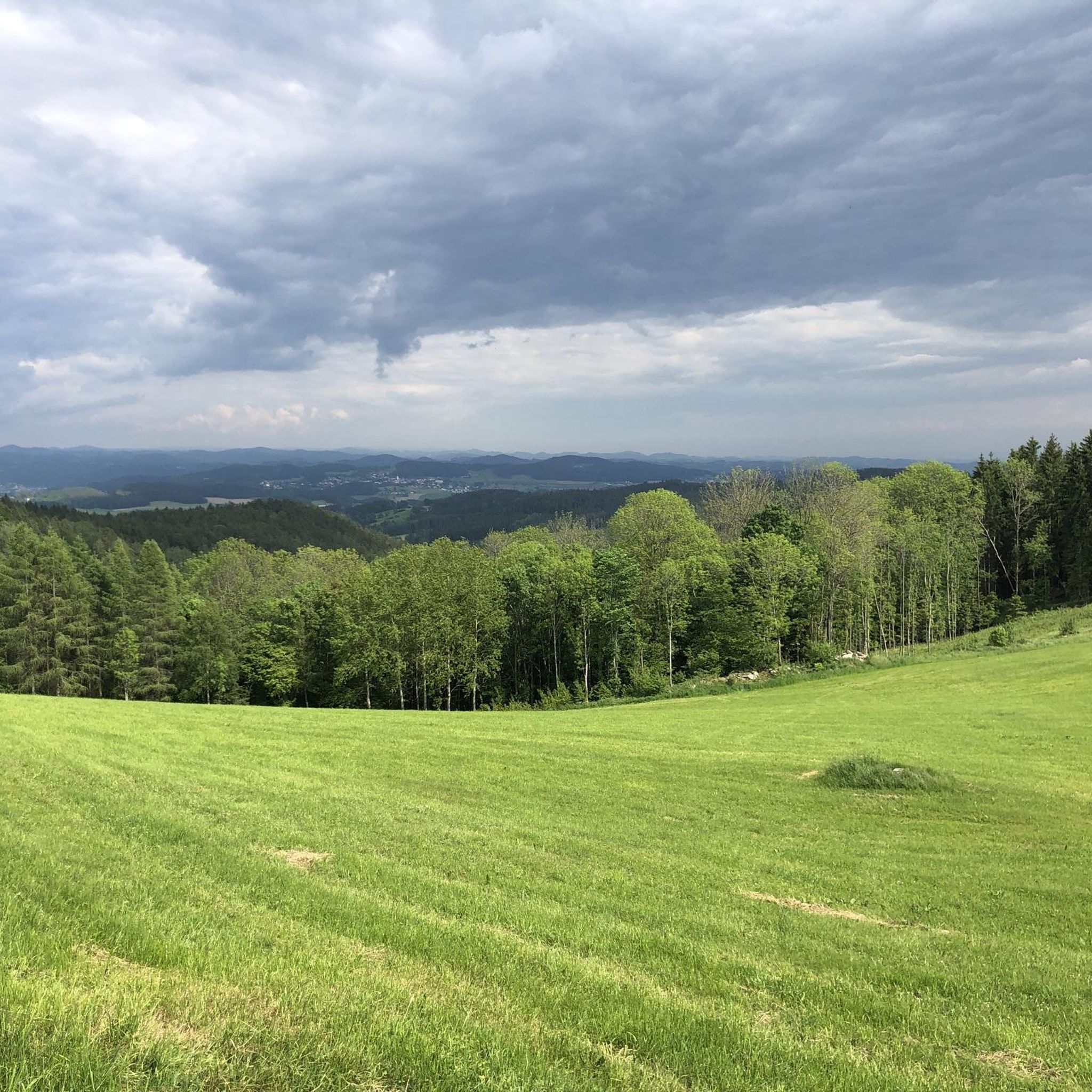
The terrain in Ottenschlag im Mühlkreis is characterized by a diverse mix of gentle hills, dense forests, and picturesque river valleys. You'll find paths winding through mixed forests and along the Große and Kleine Gusen rivers, providing a refreshing and natural environment for your runs.
Are there running routes suitable for beginners or those looking for an easy jog?
Yes, Ottenschlag im Mühlkreis offers several easy running routes perfect for beginners or a relaxed jog. There are 16 easy routes available, allowing you to enjoy the natural beauty without excessive challenge. For example, the Running loop from Reichenau im Mühlkreis is a moderate option that can be enjoyed at a comfortable pace.
Are there more challenging or long-distance running trails in the area?
Absolutely. For those seeking a greater challenge or longer distances, Ottenschlag im Mühlkreis has 66 difficult routes. An example of a more demanding run is the Märchenteich loop from Hirschbach im Mühlkreis, which covers over 15 km with significant elevation changes.
What do other runners say about the trails in Ottenschlag im Mühlkreis?
The running routes in Ottenschlag im Mühlkreis are highly rated by the komoot community, with an average score of 4.4 stars from over 100 reviews. Runners often praise the varied topography, the natural environment of the forests and river valleys, and the well-maintained trails that cater to different abilities.
Can I find circular running routes in Ottenschlag im Mühlkreis?
Yes, many of the running routes in Ottenschlag im Mühlkreis are designed as circular loops, allowing you to start and finish at the same point. Popular examples include the Hirschbach Loop loop from Hirschbach im Mühlkreis and the Running loop from Unterhirschgraben, both offering scenic round trips.
Are there any scenic viewpoints or natural landmarks to see while running?
Yes, the region offers several scenic spots. You might encounter the Roadlberg Nature Reserve with its observation tower, or enjoy expansive views from the "Hoad" Viewpoint, stretching towards the Czech Republic. The Großer Zeißberg Summit also provides great vistas. Additionally, the charming Landscape Pond Ottenschlag and the natural spring Teufelsbründl add to the picturesque scenery.
What kind of natural features can I expect to see on a run here?
You can expect to run through dense mixed forests, along the banks of the Große and Kleine Gusen rivers, and across gentle hills. The Roadlberg Nature Reserve, with its wet forests, flower meadows, marshes, and ponds, showcases the rich biodiversity of the area. The Obst-Hügel-Land Nature Park also offers beautiful natural settings.
Are the running trails in Ottenschlag im Mühlkreis dog-friendly?
Many trails in the natural landscape of Ottenschlag im Mühlkreis are suitable for running with dogs, provided they are kept on a leash and you follow local regulations. The extensive network of forest paths and river trails offers plenty of space for you and your canine companion to enjoy the outdoors.
Are there family-friendly running options in Ottenschlag im Mühlkreis?
The region's gentle hills and well-marked trails make it suitable for families. Many of the easier routes, particularly those through forests or along the Landscape Pond Ottenschlag, can be enjoyed by families looking for a pleasant outdoor activity together. Always check the route difficulty and length to ensure it matches your family's capabilities.
Is there public transport access to the running routes in Ottenschlag im Mühlkreis?
While Ottenschlag im Mühlkreis is nestled in a rural area, some public transport options may connect to nearby towns. However, direct access to specific trailheads via public transport might be limited. It's advisable to check local bus schedules or consider driving to the starting points of your chosen routes.
Where can I find parking near the running trails?
Parking is generally available in the villages and towns surrounding the trailheads, such as Hirschbach im Mühlkreis or Reichenau im Mühlkreis. Look for designated parking areas near public facilities or trail access points. Specific parking information is often available on individual route descriptions on komoot.
Are there any lakes or water features along the running routes?
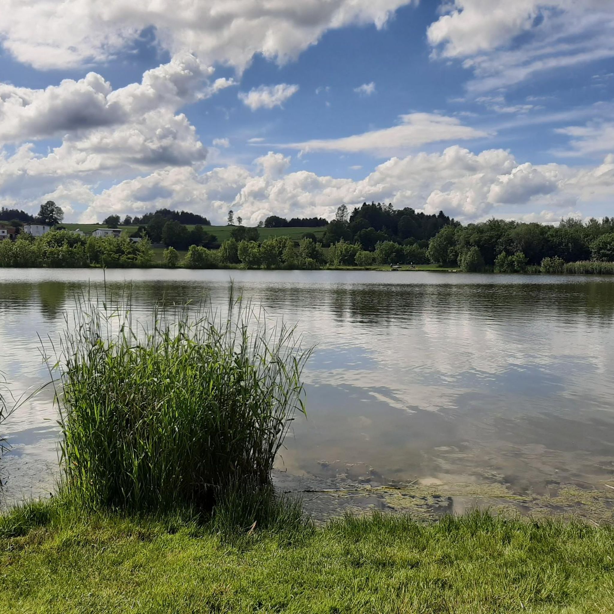
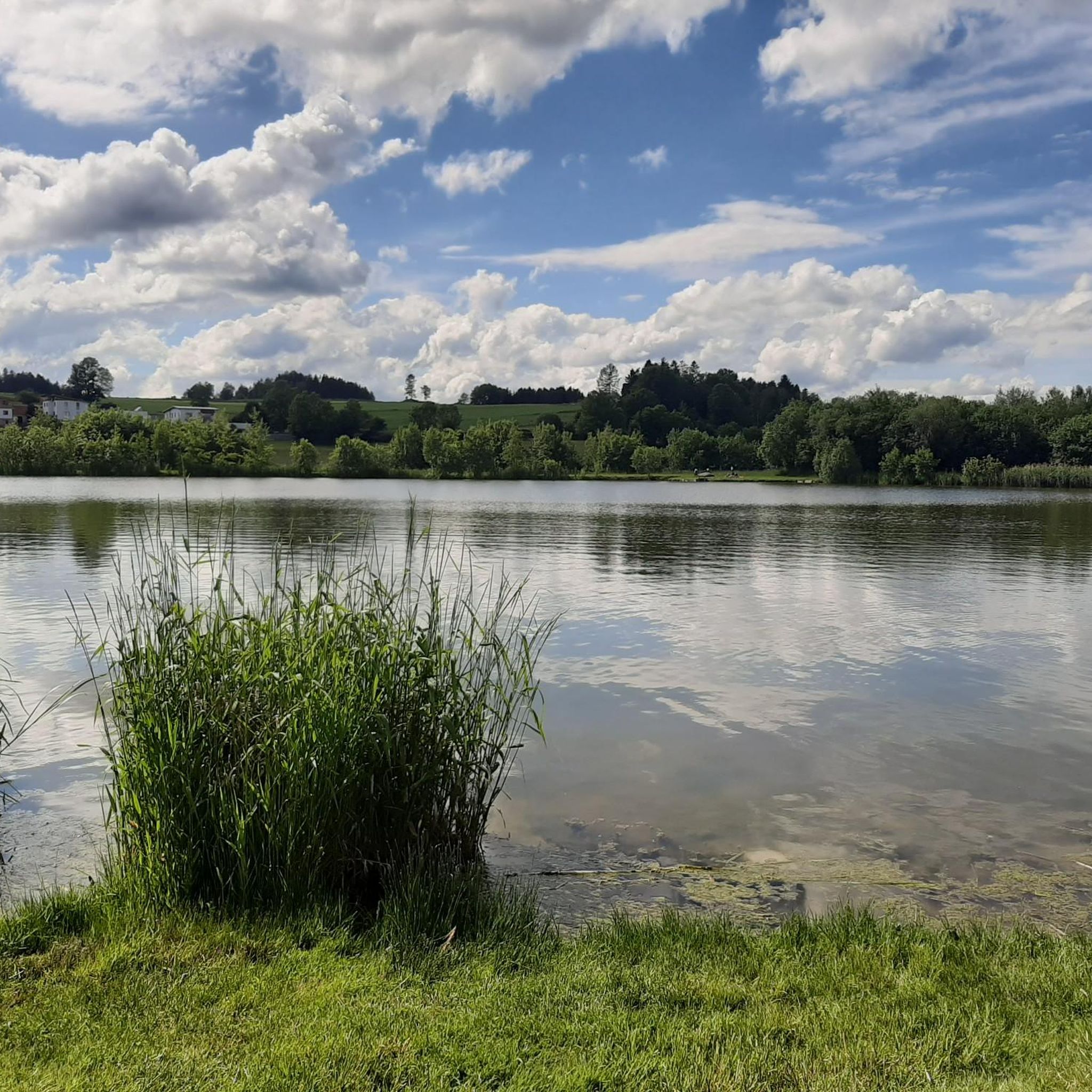
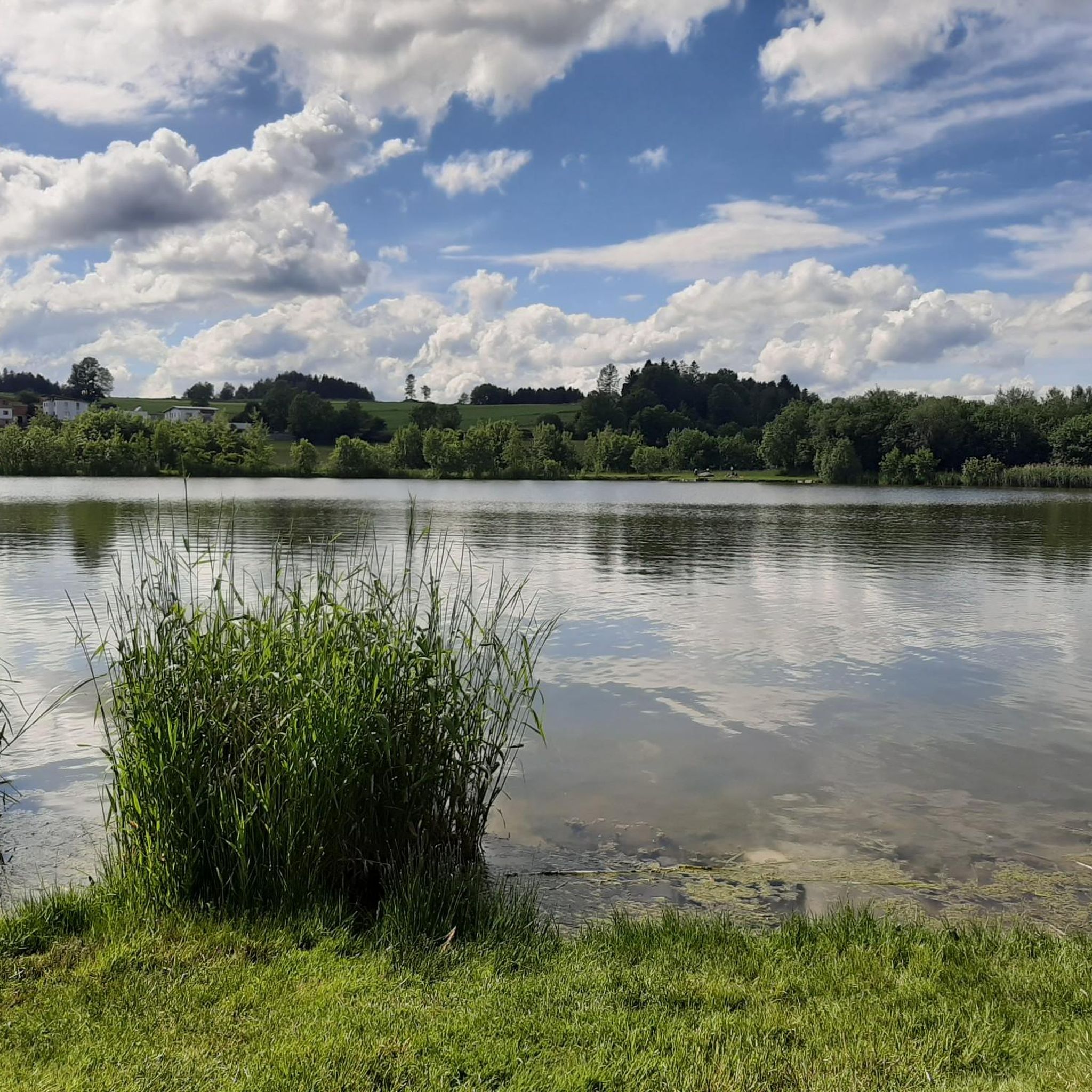
Yes, you can find several water features. The charming Landscape Pond Ottenschlag is a notable spot, and the region is also home to the Ottenschlag Bathing Pond. Additionally, the valleys of the Große and Kleine Gusen rivers provide scenic riverside running opportunities.
Most popular routes around Ottenschlag im Mühlkreis
Most popular attractions around Ottenschlag im Mühlkreis

Get inspired with the komoot mobile app


Explore more
Browse the best Running Trails & Routes in other regions.
