The 7 Most Amazing Peaks around Heidenheim
Best mountain peaks around Heidenheim are found within the scenic Swabian Alb region of Baden-Württemberg. This area features a low mountain range with prominent elevations, offering diverse landscapes for exploration. The region's terrain includes forested mountain ranges, gentle hills, and picturesque valleys. These features make it suitable for hiking and cycling activities.
Best mountain peaks around Heidenheim
- The most popular mountain peaks is Knillberg, a summit that is a hilltop overgrown with green on the southern edge of the…
Last updated: May 13, 2026
Knillberg
Highlight • Summit
Translated by Google •
Tip by

Wäldlesfels Rock Formation
Highlight • Natural Monument
Translated by Google •
Tip by

Sign up now to discover places like this
Get recommendations on the best single tracks, peaks, & plenty of other exciting outdoor places.
Sign up for free
Schreiber Cave — Bat Habitat
Highlight • Cave
Translated by Google •
Tip by

Eisbühl Summit Cross and Valley View
Highlight • Summit
Translated by Google •
Tip by

Todesberg
Highlight • Summit
Translated by Google •
Tip by

Brandhau (577 m)
Highlight • Summit
Helpful if you want to arrange a meeting point or find yourself in a difficult situation.
Translated by Google •
Tip by

Rehberg Summit
Highlight • Summit
Translated by Google •
Tip by
Highest Point in Heidenheim District
Highlight • Summit
Translated by Google •
Tip by
Start today with a free account
Your next adventure awaits.
Login or Signup
Popular around Heidenheim

Main-Danube-Lake Constance Trail – Along iconic waters

Germany's Hohenlohe-Ostalb Cycle Route – From idyllic valleys to the Swabian Alb
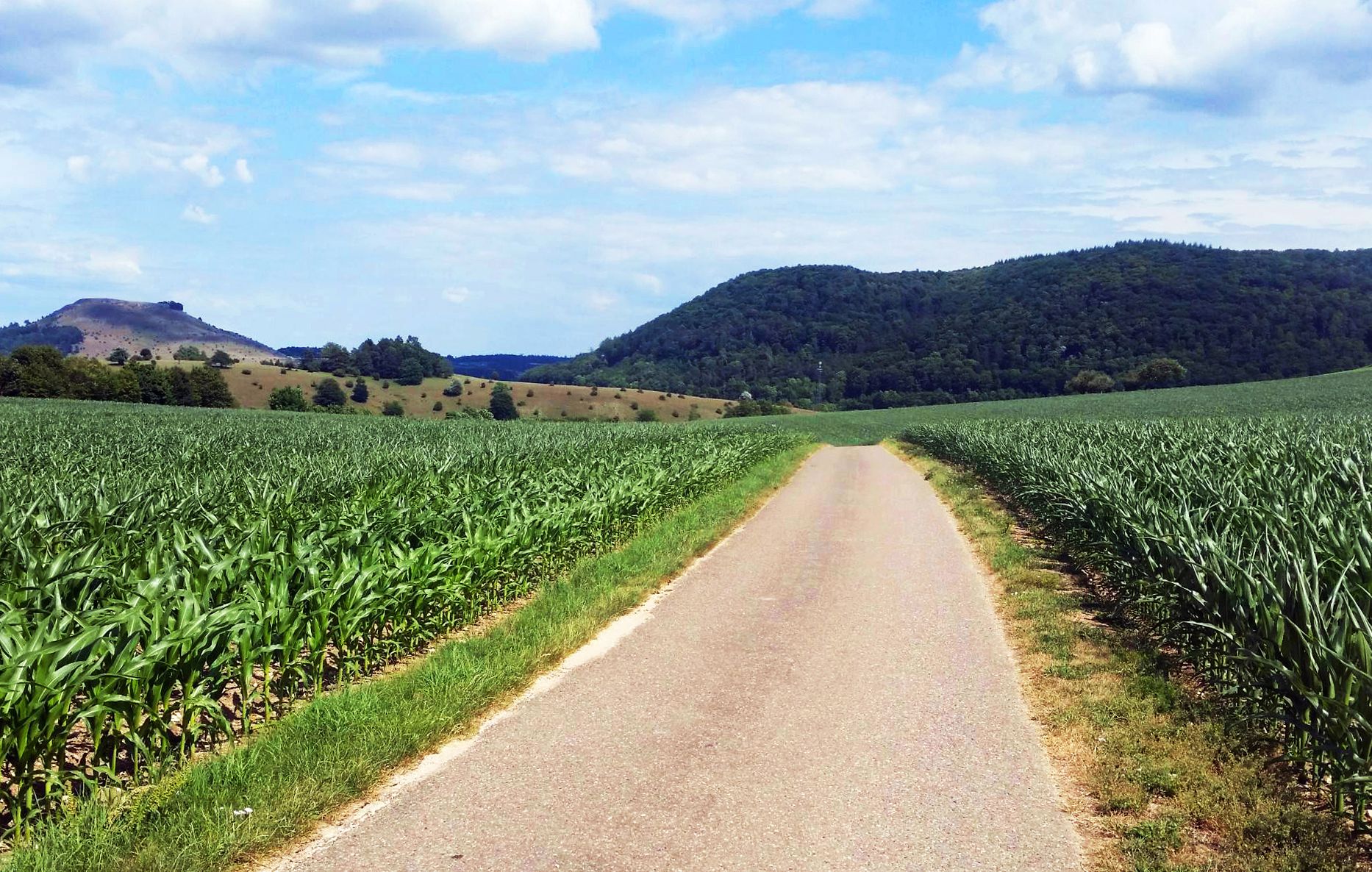
From Crater to Crater — 4 stages in the Geopark Ries and across the Swabian Alb
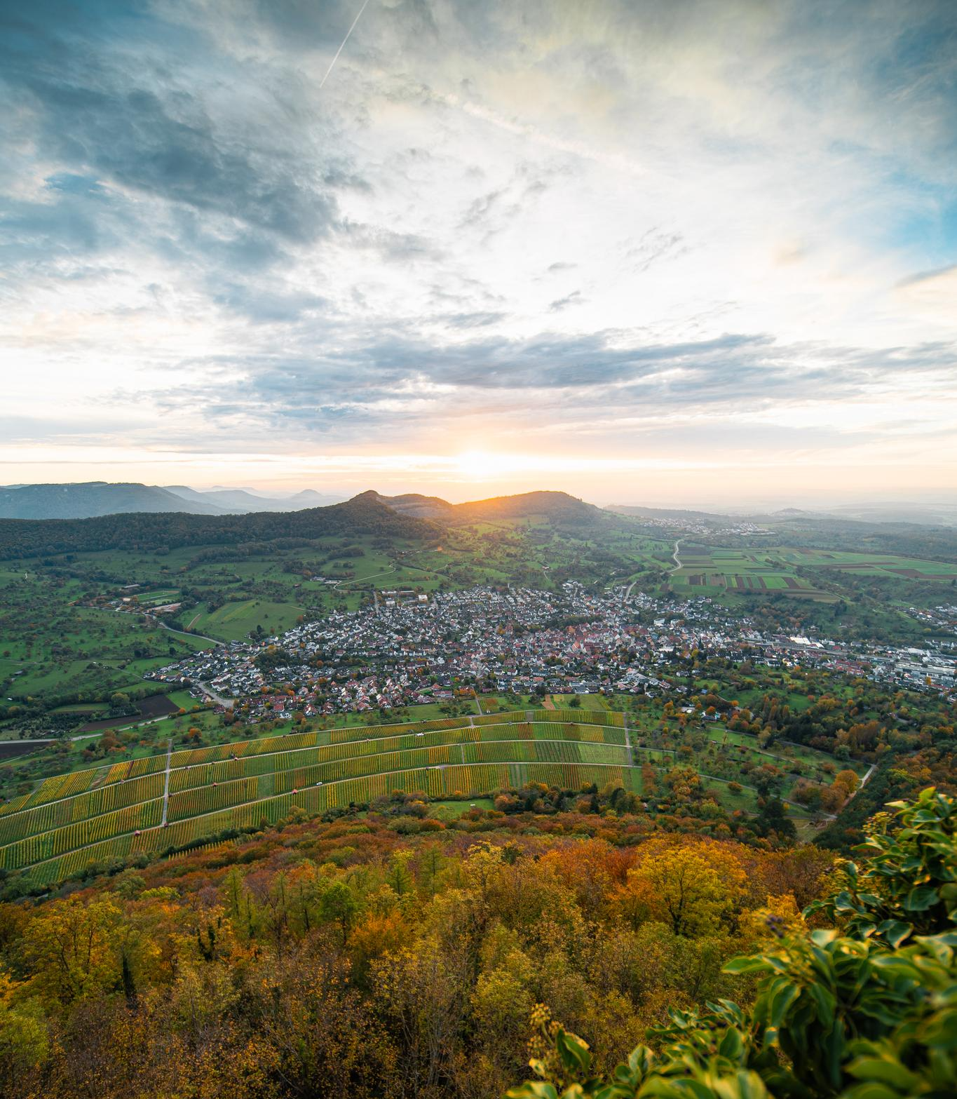
E-bike pleasure rides in the Swabian Alb
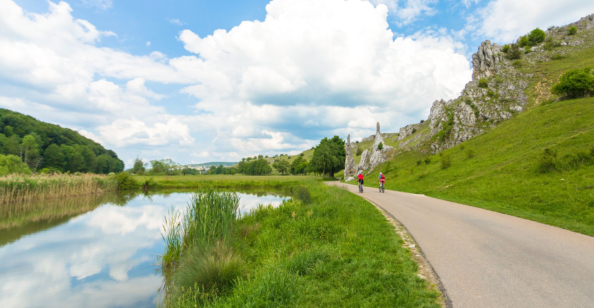
Feel the power of the water - cycling on the Swabian Alb
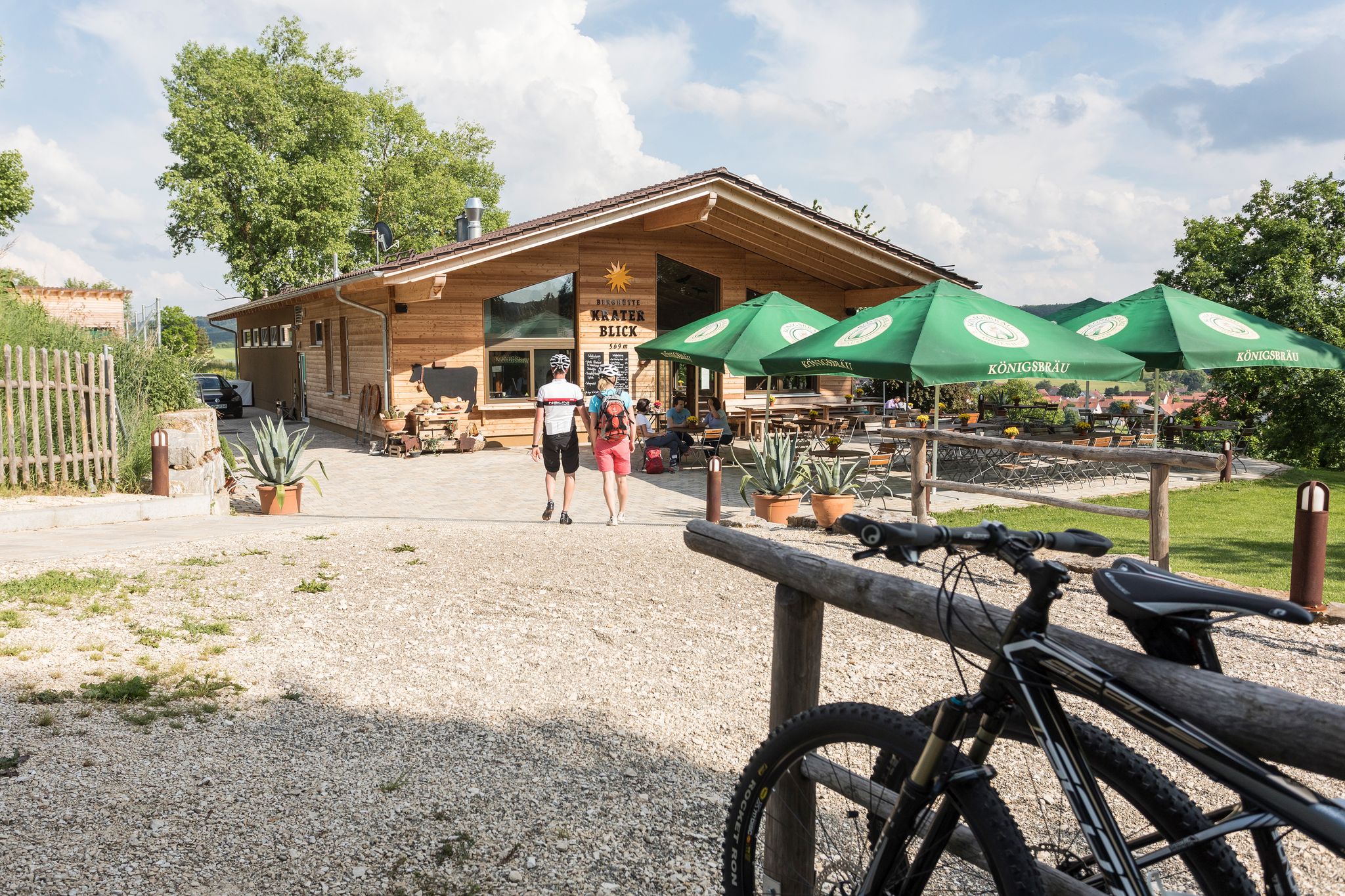
Cycling with all your senses on the Swabian Alb
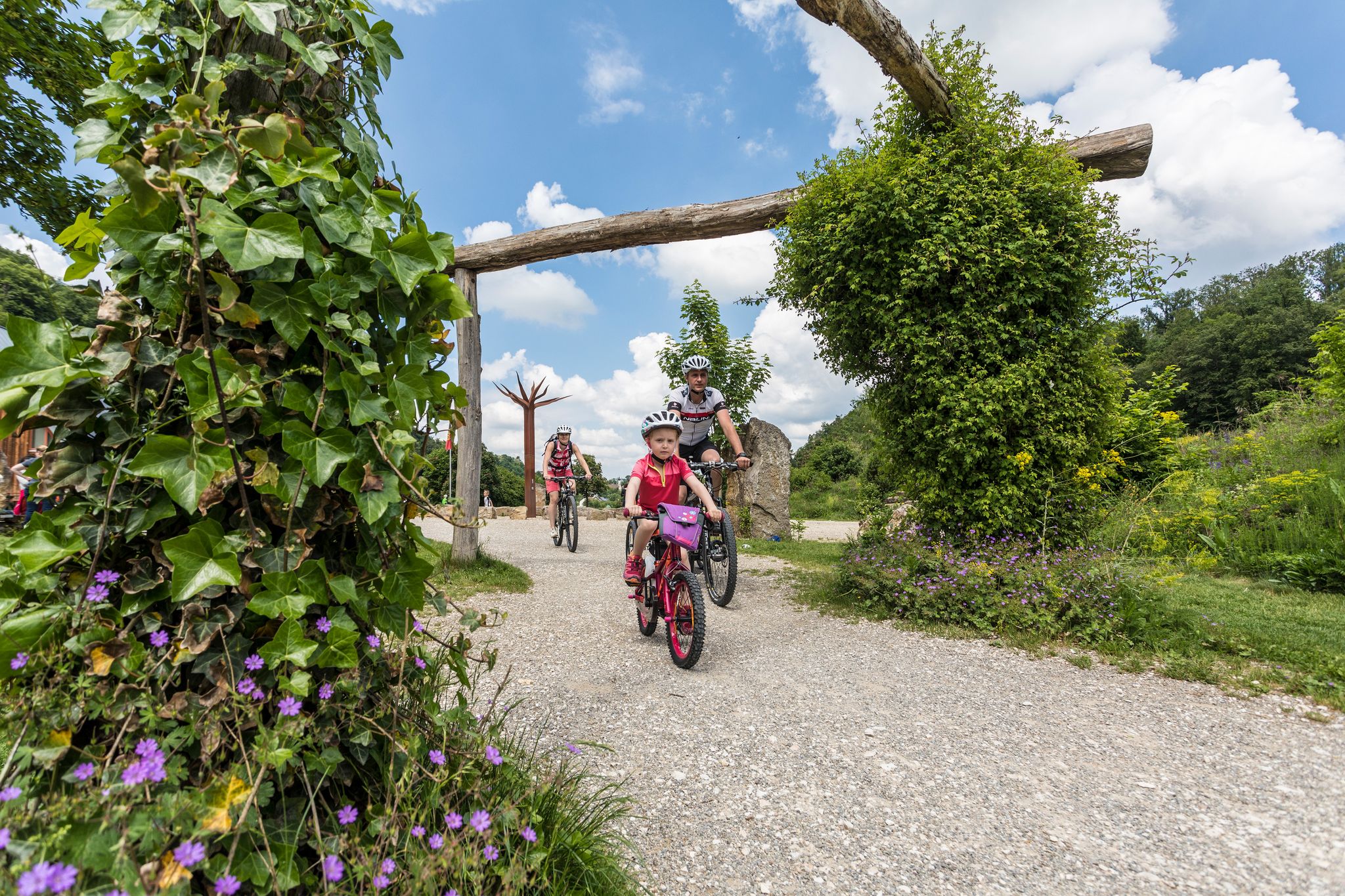
Family cycling – 9 day Tours in the Swabian Alb
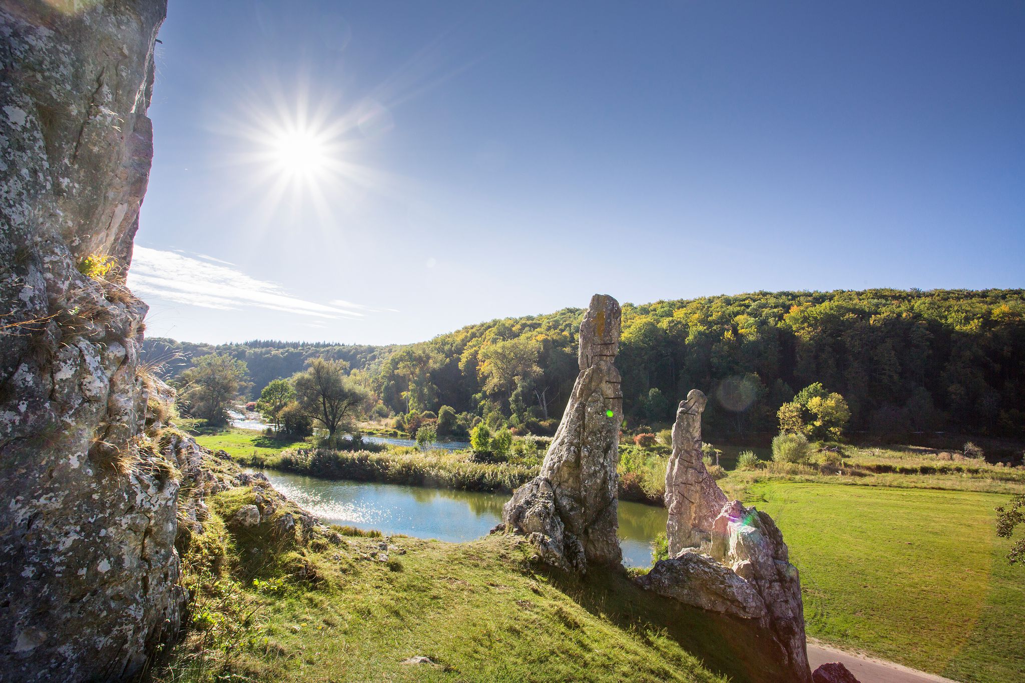
Picturesque valleys on Germany’s Württemberg Valley Cycle Path
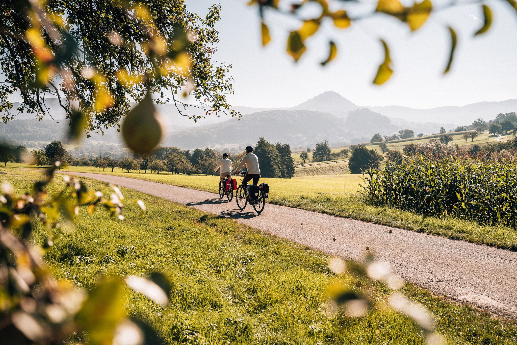
Cycle the Swabian Alb Cycle Path to Lake Constance
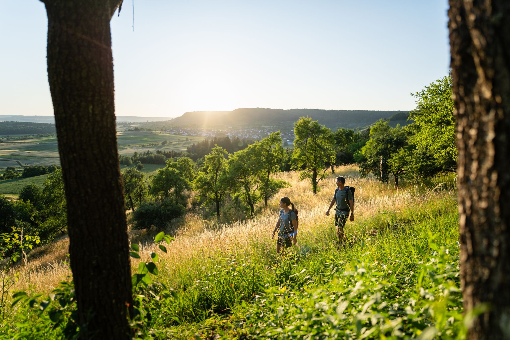
6 Long-Distance Hikes for Your Escape to the Swabian Alb
Other adventures around Heidenheim


Tips from the Community

A summit you could easily skip 😆
0
0

The Schreiber Cave is a cave formed approximately 15 million years ago, carved out of strata in the approximately 30 cm thick limestone of the White Jura Zeta. It was discovered after two shafts collapsed during blasting operations. In May 1960, it was named after the Heidenheim speleologist Walter Schreiber († 1960), who first surveyed the cave in collaboration with the Laichingen Cave and Local History Society. Further research, surveys, and mapping were carried out in 1971/72, 1980, and from 1997 onwards. The cave is given as 210 m long, with an elevation difference of 17 m. Descent into the Schreiber Cave leads behind the gate into a 2 m deep pit, which has a floor-to-ceiling access passage with a metal frame on the right side. Behind it, a 2m wide passage opens up, into which one must descend vertically for almost 4m. At the end of this short passage, one enters a room measuring 8m x 3m and 2m high, littered with fallen rock (slump). In the eastern ceiling area, there is a vertical shaft that is covered at the surface. The collapse shaft and the bat passage branch off to the left or half-left, and the main passage of the cave runs tangentially at the right end of the room. Following the 40m long main passage to the left in a north-northwest direction, one reaches the junction with the dead end and, after 19m, reaches the western end of the cave. In the opposite direction, the main passage leads to the Great Slump, in whose rubble the skull and several bones of an aurochs were recovered. It is therefore assumed that the cave was once more easily accessible than it is today. In front of the Great Collapse, another passage branches off, running parallel to the main passage and connected to it by two loops. Another excavated passage behind the Great Collapse leads to the 7m × 5m Bison Hall, whose ceiling is 2m high. Two parallel passages lead out of it, the left one ending in a sinter passage after about 14m, thus marking the easternmost point of the cave.
0
0

A junction point with UTM coordinates... Helpful if you want to arrange a meeting point or find yourself in a difficult situation.
0
0

At 718 meters above sea level, this spot lies inconspicuously in the middle of the forest. It can be reached via the Zigeunerweg (Gypsy Trail) between Bartholomä and Gnannenweiler.
1
0
There is no view from the rock itself. Everything is overgrown.
1
0

When you drive past below, you can't see the rock. It's quite impressive considering the entire basin was once a lake.
2
0


Frequently Asked Questions
What are some notable mountain peaks to visit in the Heidenheim region?
Beyond the well-known spots, you can explore the distinctive Knillberg, a green hilltop on the southern edge of the Steinheim Basin. Another must-see is the Eisbühl Summit Cross and Valley View, offering panoramic vistas. For a unique natural monument, visit the Wäldlesfels Rock Formation, an 8-meter high reef preserved in its original form.
Are there historical sites or cultural attractions on the mountain peaks?
Yes, Hellenstein Mountain, which dominates the skyline above Heidenheim an der Brenz, is home to the impressive Hellenstein Castle. This historic landmark, originally a 12th-century fortress, now houses several museums and hosts the annual Heidenheim Opera Festival. You can find more information about the castle here.
What kind of views can I expect from the mountain peaks around Heidenheim?
Many peaks in the region offer excellent panoramic views. For example, the Eisbühl Summit Cross and Valley View provides a beautiful all-round vista. From Hellenstein Mountain, you can enjoy spectacular views over Heidenheim and its surroundings. Other elevated points like Todesberg and Rehberg Summit also offer scenic outlooks.
Are there family-friendly options for exploring the peaks?
The region offers various paths suitable for families. The gently rolling park on Hellenstein Mountain, surrounding the castle, is pleasant for walks. The idyllic meadows around Knillberg also provide a peaceful setting for family outings. For easy hikes, consider routes like the 'Restored Brenz River – Eselsburger Valley loop' which can be found in the Easy hikes around Heidenheim guide.
What are the best hiking opportunities near Heidenheim's peaks?
The Swabian Alb, where Heidenheim is located, is ideal for hiking. You'll find trails leading through vast forests, across plateaus, and past unique geological formations. For specific routes, explore the Mountain Hikes around Heidenheim guide, which includes routes like the 'Mordloch Cave – Karl-Vorbrugg Hut loop'.
Are there any challenging climbs for experienced hikers?
Yes, some peaks offer more demanding ascents. For instance, the Todesberg is known for its 'extreme slope' and requires significant effort to hike up or down. Many trails in the Swabian Alb can also be challenging, especially those traversing varied terrain.
What unique natural features can be found among the peaks?
The region is rich in natural wonders. The Steinheim Basin, where Knillberg is located, is a geological marvel formed by a meteorite impact. You can also visit the Wäldlesfels Rock Formation, an ancient reef. Additionally, the Schreiber Cave — Bat Habitat offers a glimpse into local wildlife, serving as a bat quarters in autumn/winter.
When is the best time to visit the mountain peaks in Heidenheim?
The region is beautiful year-round. Spring and autumn offer pleasant temperatures for hiking and cycling, with vibrant foliage or blooming meadows. Summer is ideal for longer days outdoors, while winter can transform the landscape into a serene, snow-covered wonderland, though some trails might require appropriate gear.
Where can I find the highest point in the Heidenheim district?
The highest point in the Heidenheim district is Wollenberg, reaching an elevation of 730 meters (2,395 feet). While specific tourist attractions are not widely advertised directly on the peak, its status as the highest point makes it a significant feature for those seeking to conquer the region's highest elevation. You can find a highlight for the Highest Point in Heidenheim District on komoot.
Are there opportunities for cycling near the mountain peaks?
Absolutely. The diverse landscape of the Swabian Alb, with its forested mountain ranges, gentle hills, and picturesque valleys, is well-suited for cycling. You can find various routes in the Road Cycling Routes around Heidenheim guide, including loops like 'Lake Itzelberg – Brenztopf Spring'.
What is special about the Knillberg?
The Knillberg is a distinctive green hilltop on the southern edge of the Steinheim Basin. It's characterized by idyllic meadows where you have a good chance of encountering Alb shepherds with their herds. It offers a peaceful, pastoral experience and elevated views towards Steinheim, making it a pleasant spot for walks and mountain biking.
What other elevated points in the Heidenheim district are worth exploring?
Besides the prominent peaks, the Heidenheim district features 59 named mountains. Other notable elevations include Höllbuck (671 m), Hohberg (689 m), Halde (630 m), and Rudelsberg (670 m). These contribute to the region's diverse natural landscapes, offering rich environments for outdoor activities and far-reaching views.
Most popular routes around Heidenheim
Most popular attractions around Heidenheim

Get inspired with the komoot mobile app


Didn’t find what you were looking for?
Discover Heidenheim’s best peaks and summits by region:
Explore more
See even more amazing summits around Heidenheim with these guides:
