The best hikes from bus stations around Heidenheim
4.6
(9241)
38,558
hikers
1,125
hikes
Bus station hiking trails around Heidenheim offer access to a diverse landscape in the eastern Swabian Alb, characterized by varied topography. The region features gentle hills, expansive fields, and forested mountain ranges. Hikers can explore picturesque river valleys, unique geological formations like the Steinheimer Basin, and typical karst features.
Best bus station hiking trails around Heidenheim
- The most popular bus station hiking route is Restored Brenz River – Eselsburger Valley loop from Eselsburger Tal, a 3.9 miles (6.3 km)…
Last updated: June 26, 2026
4.7
(460)
1,835
hikers
Easy hike. Great for any fitness level. Easily-accessible paths. Suitable for all skill levels.
4.7
(243)
913
hikers
Easy hike. Great for any fitness level. Easily-accessible paths. Suitable for all skill levels.

Sign up for free
4.8
(423)
1,430
hikers
15.2km
04:09
220m
220m
Hard hike. Good fitness required. Sure-footedness, sturdy shoes and alpine experience required.
4.7
(288)
1,181
hikers
Easy hike. Great for any fitness level. Easily-accessible paths. Suitable for all skill levels.
4.7
(597)
1,810
hikers
Moderate hike. Good fitness required. Easily-accessible paths. Suitable for all skill levels.
Get access to more routes and recommendations from other explorers.
Sign up for free
Already have an account?
Our route recommendations are based on thousands of hikes, rides, and runs completed by other people on komoot.
Start today with a free account
Your next adventure awaits.
Login or Signup
Popular around Heidenheim

Hikes from bus stations around Herbrechtingen

Hikes from bus stations in Eselsburger Tal

Hikes from bus stations around Dischingen
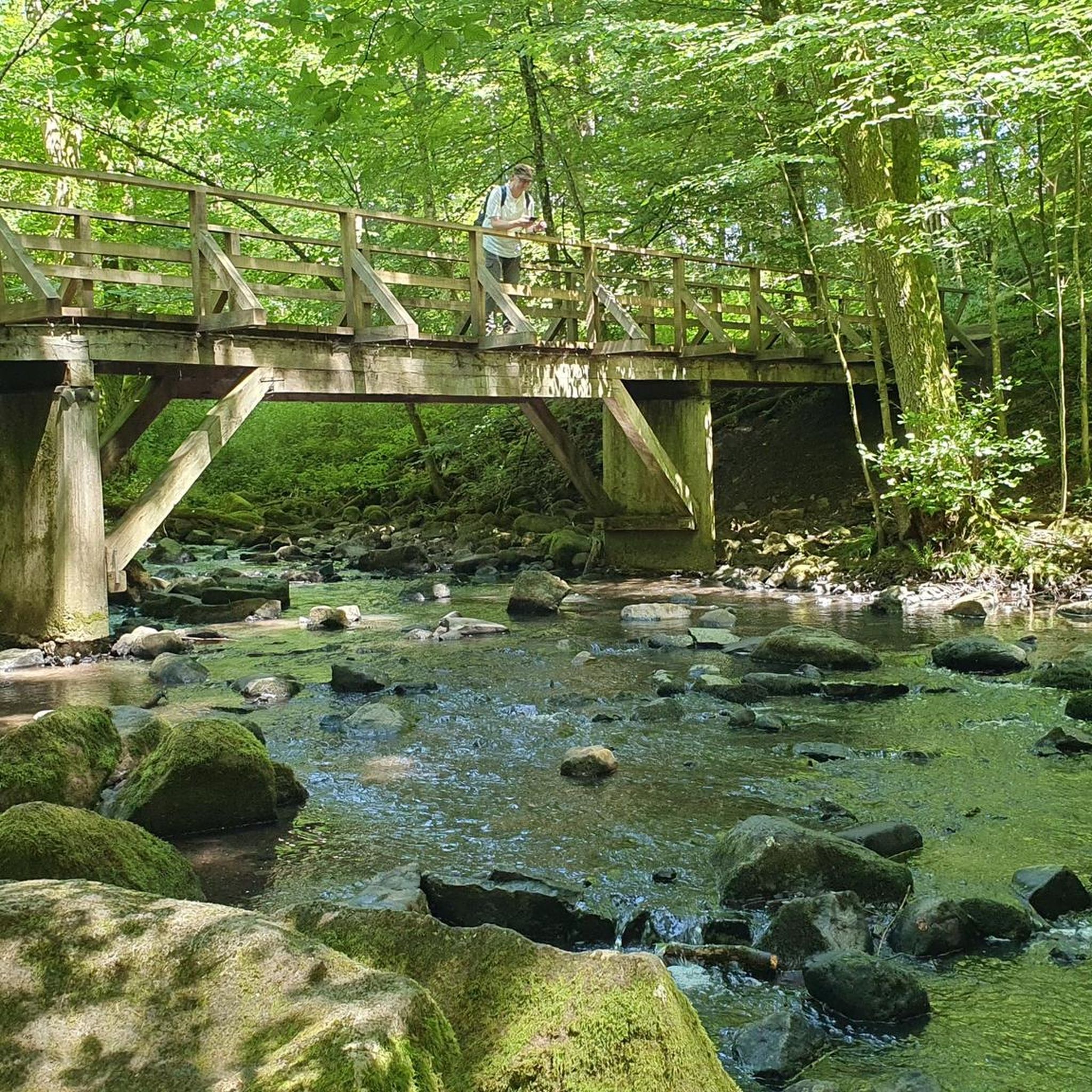
Hikes from bus stations around Heidenheim an der Brenz
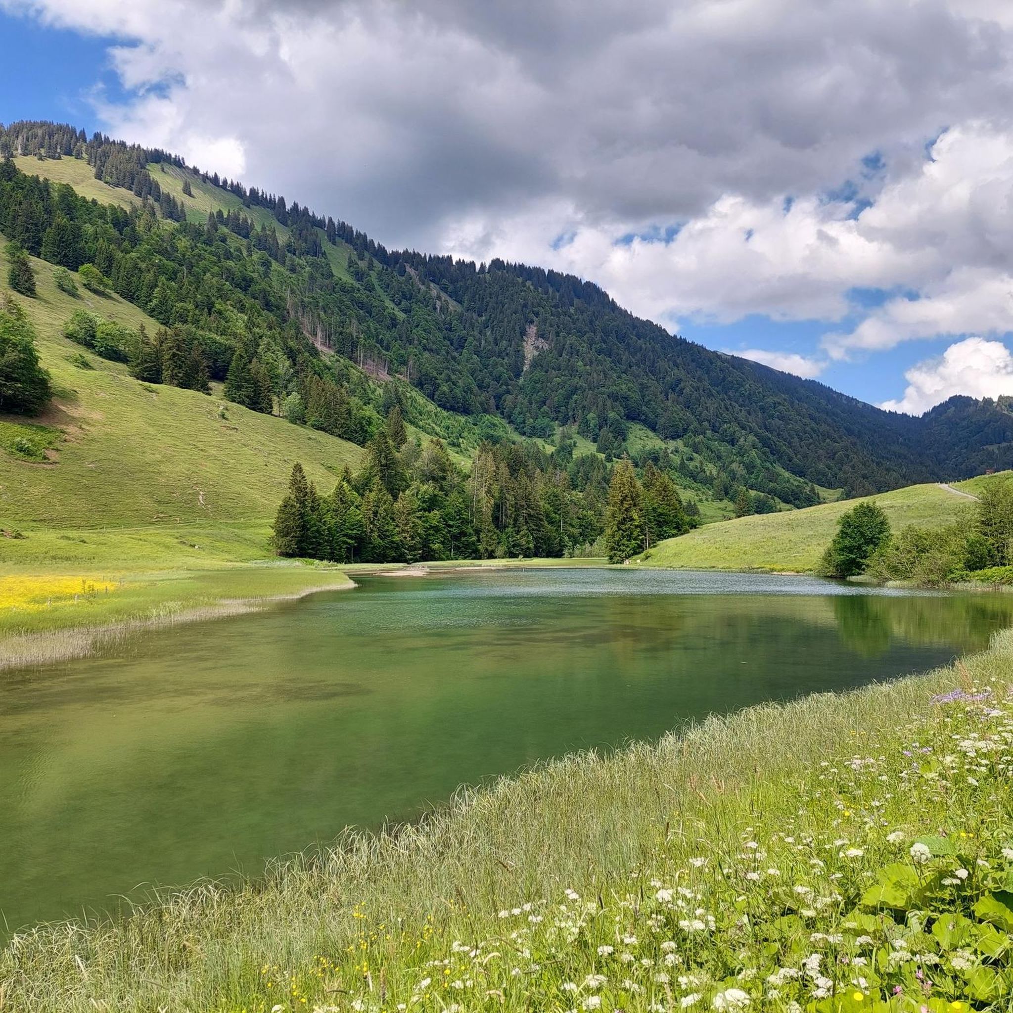
Hikes from bus stations around Steinheim am Albuch

Hikes from bus stations in Wental Mit Seitentälern Und Feldinsel Klösterle
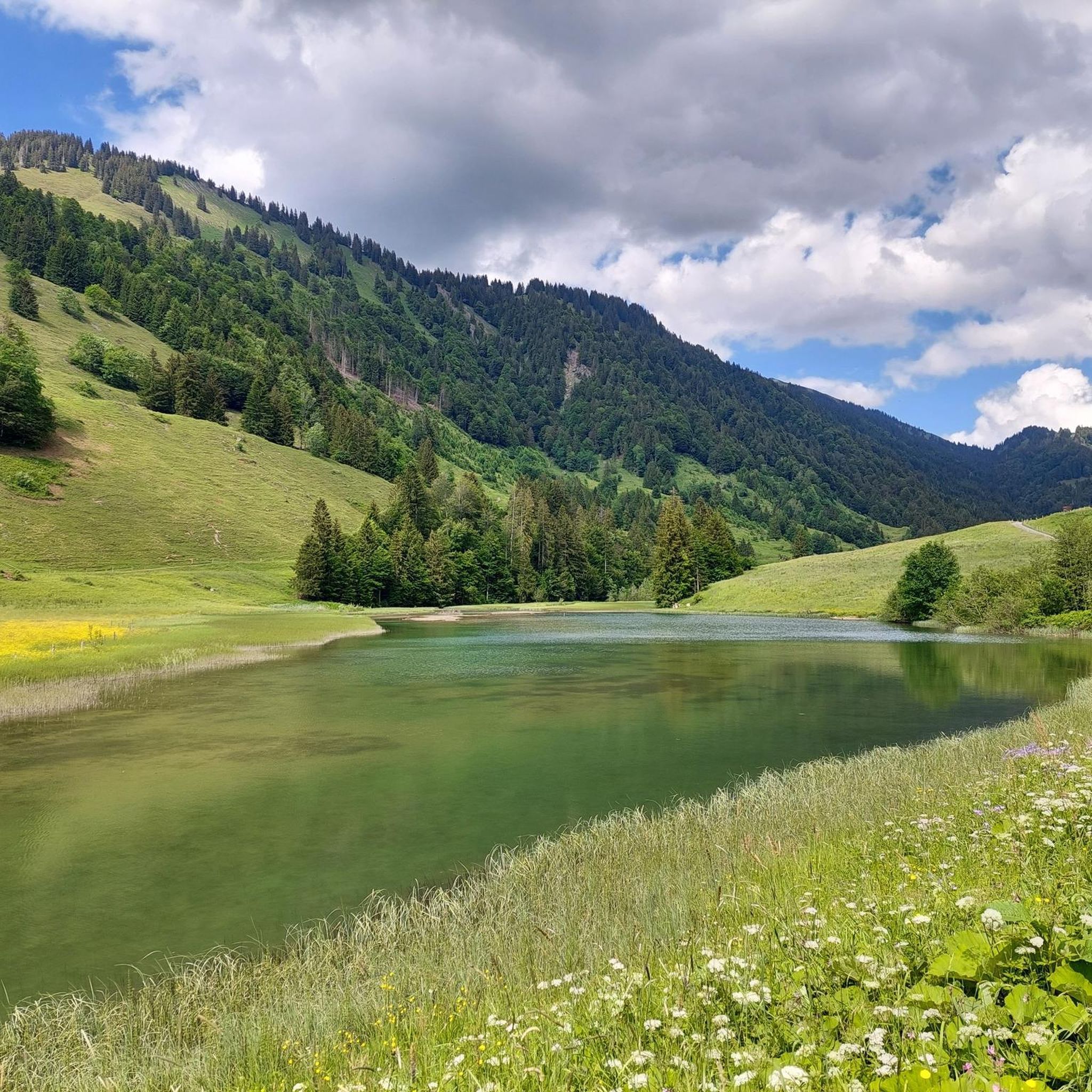
Hikes from bus stations in Steinheimer Becken
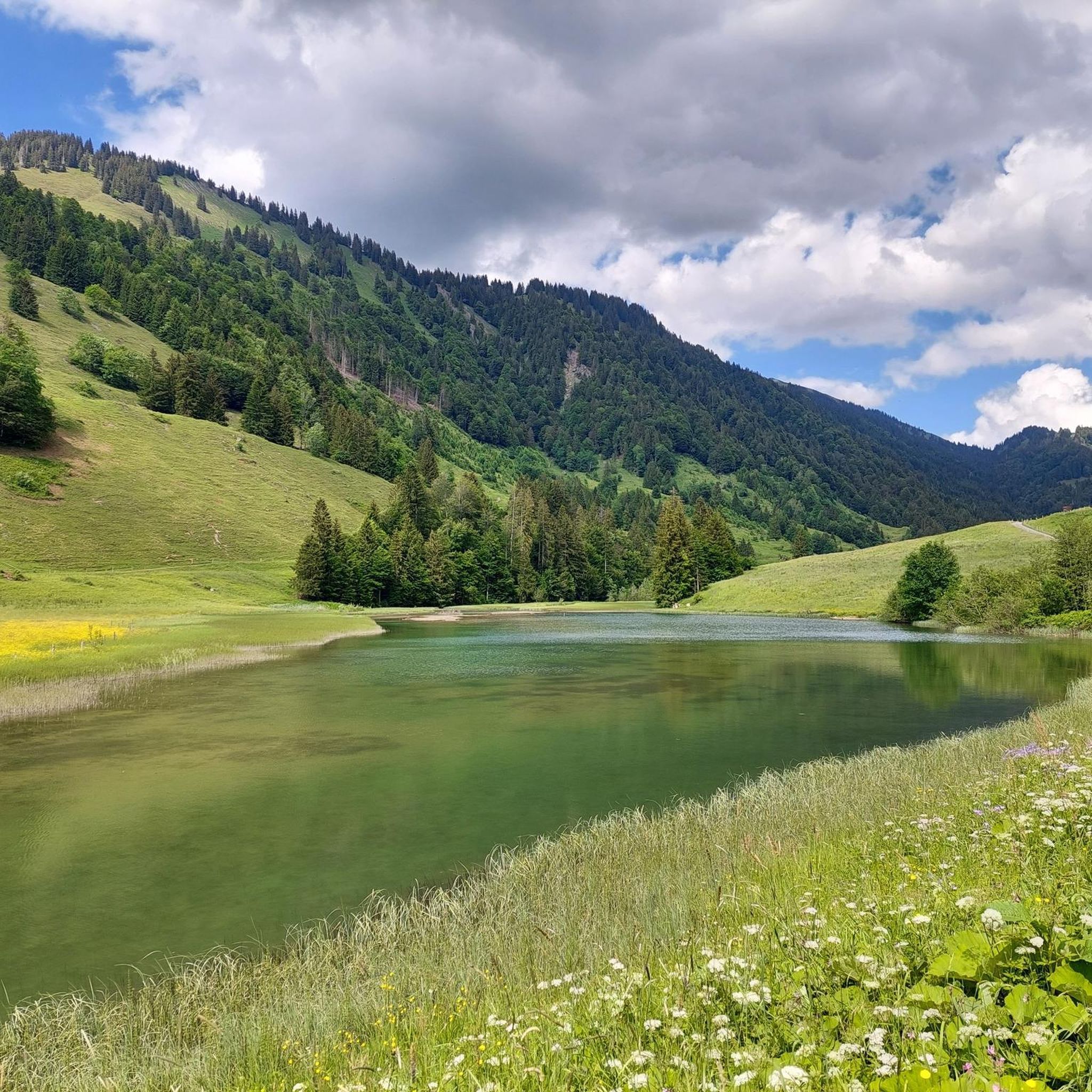
Hikes from bus stations around Königsbronn

Hikes from bus stations around Gerstetten

Hikes from bus stations around Englischer Wald Dischingen
Other adventures around Heidenheim


Tips from the Community

Here you can find a beautiful wooden seating set in the forest in Haid.
1
1

A really beautiful path to the sea of rocks, especially the fir trees are really beautiful to look at 😍
4
0


The small town, the nature, and the rock are worth seeing and impressive. A trip here is worthwhile.
3
0

A beautiful view across to Bartholomä. I really like it in early summer with the yellow rapeseed fields.
0
0

Entrance fee: €1.50. Guided tour today, Sunday, by club members. It was extremely interesting. It's worth a visit.
0
0

The Gnannental, the southern extension of the Wental, forms a wide, incised valley that is completely blocked by the water retention basin.
3
0

On our hike through the Wental valley we also passed the so-called witch's hole. The sinkhole and cave somehow have something really spooky about them. Unfortunately no witch came out of the sinkhole that day and so we strolled along at a leisurely pace. 😁
2
0
Frequently Asked Questions
How many hiking trails are accessible from bus stations around Heidenheim?
There are over 1100 hiking trails around Heidenheim that are easily accessible by public transport, offering a wide variety of options for all skill levels. This includes more than 600 easy routes, nearly 500 moderate trails, and about 40 more challenging hikes.
What kind of terrain can I expect on bus-accessible hiking trails in the Heidenheim region?
The Heidenheim region, nestled in the Swabian Alb, offers diverse terrain. You can expect gentle hills and expansive fields in the Härtsfeld, forested mountain ranges in the Albuch, and picturesque river valleys like the Brenz and Lone. Many trails feature unique geological formations, including limestone cliffs, dry valleys, and the bizarre dolomite rocks of the Wental. The Wental Rock Sea – Wentalweg Forest Trail loop is a great example of a trail showcasing these unique rock formations.
Are there family-friendly hiking trails accessible by bus around Heidenheim?
Yes, the region offers many family-friendly options. Trails often lead through scenic valleys and past interesting natural features that children will enjoy. For example, the Restored Brenz River – Eselsburger Valley loop from Eselsburger Tal is an easy route perfect for a family outing, offering beautiful views along the Brenz River.
Can I bring my dog on these bus-accessible hikes?
Most hiking trails in the Heidenheim region are dog-friendly, provided your dog is kept on a leash, especially in nature reserves or near wildlife. Always be mindful of local regulations and ensure your dog is comfortable with the trail's length and terrain. The varied landscapes, from forests to open fields, offer plenty for you and your canine companion to explore.
What natural attractions can I see along the bus station hiking trails?
The trails around Heidenheim offer access to several unique natural attractions. You can explore the dramatic Wental Rock Sea, the scenic Eselsburger Valley with its striking rock formations like the Stone Maidens, or the historic Lone Valley. Many routes also pass by the Brenztopf (Source of the River Brenz).
Are there circular hiking routes that start and end at bus stops?
Yes, many of the bus-accessible trails are circular routes, allowing you to start and finish at the same bus stop without needing to retrace your steps. This is ideal for exploring the diverse landscapes of the Swabian Alb. An example is the Restored Brenz River – Eselsburger Valley loop from Herbrechtingen, which offers a pleasant circular walk.
When is the best time of year to hike the bus-accessible trails around Heidenheim?
The best seasons for hiking in Heidenheim are spring and autumn. In spring, nature is vibrant with blooming flowers, while autumn offers spectacular colorful foliage across the forests and valleys. Summer is also pleasant, especially for shaded forest trails, and winter can provide unique snowy landscapes, though some paths might be more challenging.
What do other hikers enjoy most about the bus station trails around Heidenheim?
The komoot community highly rates the trails around Heidenheim, with an average score of 4.56 stars. Hikers often praise the region's diverse natural beauty, from the unique rock formations of the Wental to the serene Brenz Valley. The accessibility by public transport and the variety of routes for all skill levels are also frequently highlighted.
Are there any challenging bus-accessible hikes in the area?
While many routes are easy or moderate, there are options for more challenging hikes. These often feature greater elevation changes and longer distances, providing a good workout. For instance, the View of Falkenstein Rock – Eselsburger Valley loop from Eselsburger Tal is a difficult route that offers extensive views and a longer distance.
Can I find viewpoints with scenic vistas on these trails?
Absolutely. The region, particularly the Albuch area, is known for its spectacular views. Many trails lead to elevated points offering breathtaking panoramas of the valleys and surrounding mountains. The Eselsburger Valley – View of Falkenstein Rock loop from Eselsburger Tal is a moderate route that includes excellent viewpoints.
Most popular routes around Heidenheim
Most popular attractions around Heidenheim

Get inspired with the komoot mobile app


Didn’t find what you were looking for?
Check out more Hikes throughout Heidenheim below and find the perfect route in your destination.
Explore more
Browse the best Hikes in other regions.
