Santa Rosa And San Jacinto Mountains National Monument
Santa Rosa And San Jacinto Mountains National Monument
Top 5 Gorges in Santa Rosa And San Jacinto Mountains National Monument
Best canyons in Santa Rosa And San Jacinto Mountains National Monument feature diverse landscapes, from desert oases to rugged mountain terrain. This region is characterized by its unique blend of arid environments and areas sustained by perennial water sources, supporting a variety of plant and animal life. The canyons hold cultural significance, having served as historical pathways for the Cahuilla people. Visitors can explore areas with tall palm trees, interesting rock formations, and mountain-fed streams.
Best canyons in Santa Rosa…
Last updated: July 9, 2026
Palm Canyon
Highlight • Canyon
Tip by

Andreas Canyon Oasis
Highlight • Canyon
Tip by

Sign up now to discover places like this
Get recommendations on the best single tracks, peaks, & plenty of other exciting outdoor places.
Sign up for free
Palm Canyon Trail — Wild Horse Trail Section
Highlight (Segment) • Trail
Tip by

Murray Creek
Highlight • River
Tip by
Carrizo Canyon Trail
Highlight (Segment) • Canyon
Tip by

Start today with a free account
Your next adventure awaits.
Login or Signup
Popular around Santa Rosa And San Jacinto Mountains National Monument

Pacific Crest Trail from Mexico to Canada – 4,200 kilometres of wilderness

The tour of your life – music trails on the Pacific coast
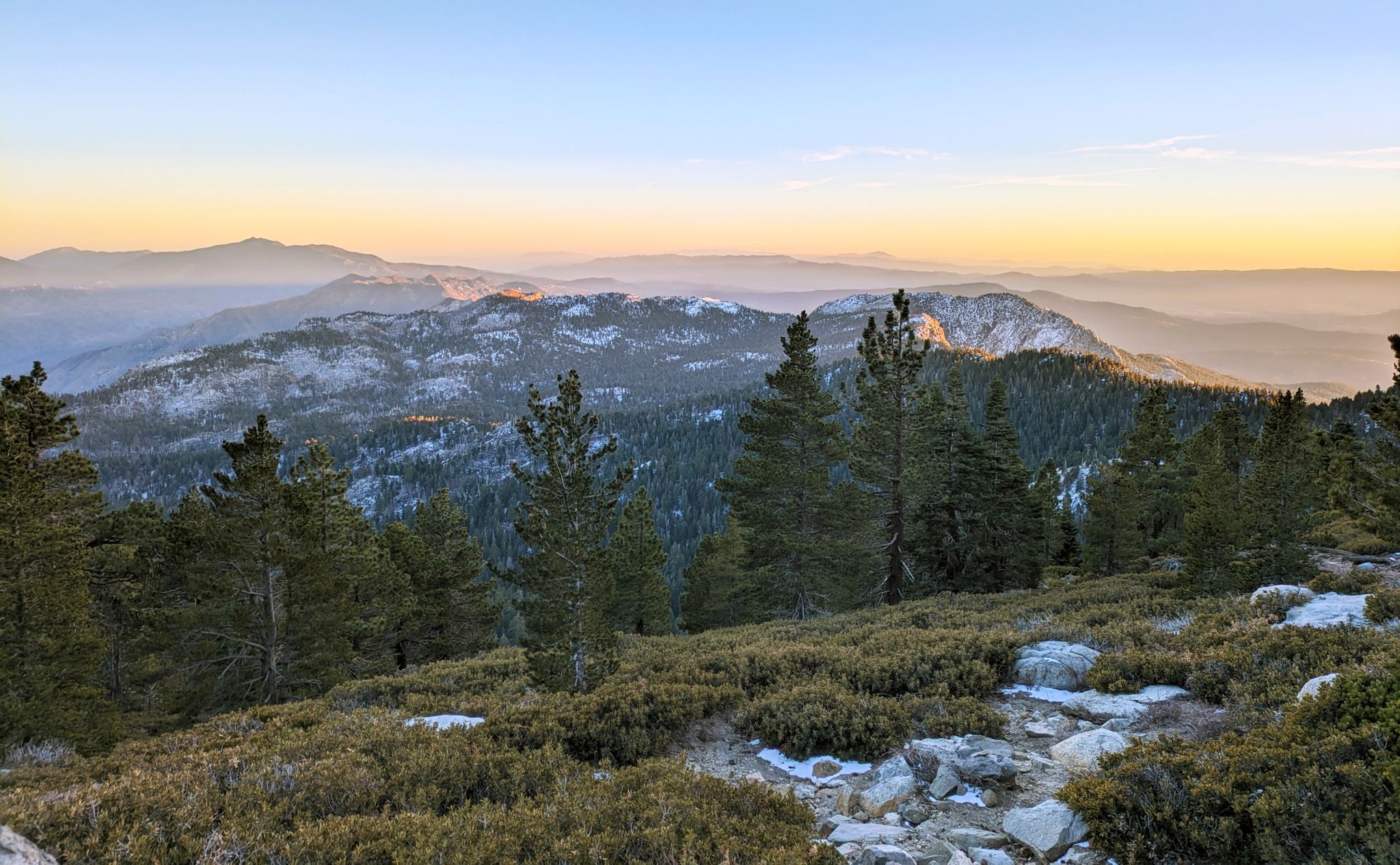
Climbing Mount San Jacinto on the Deer Springs Trail
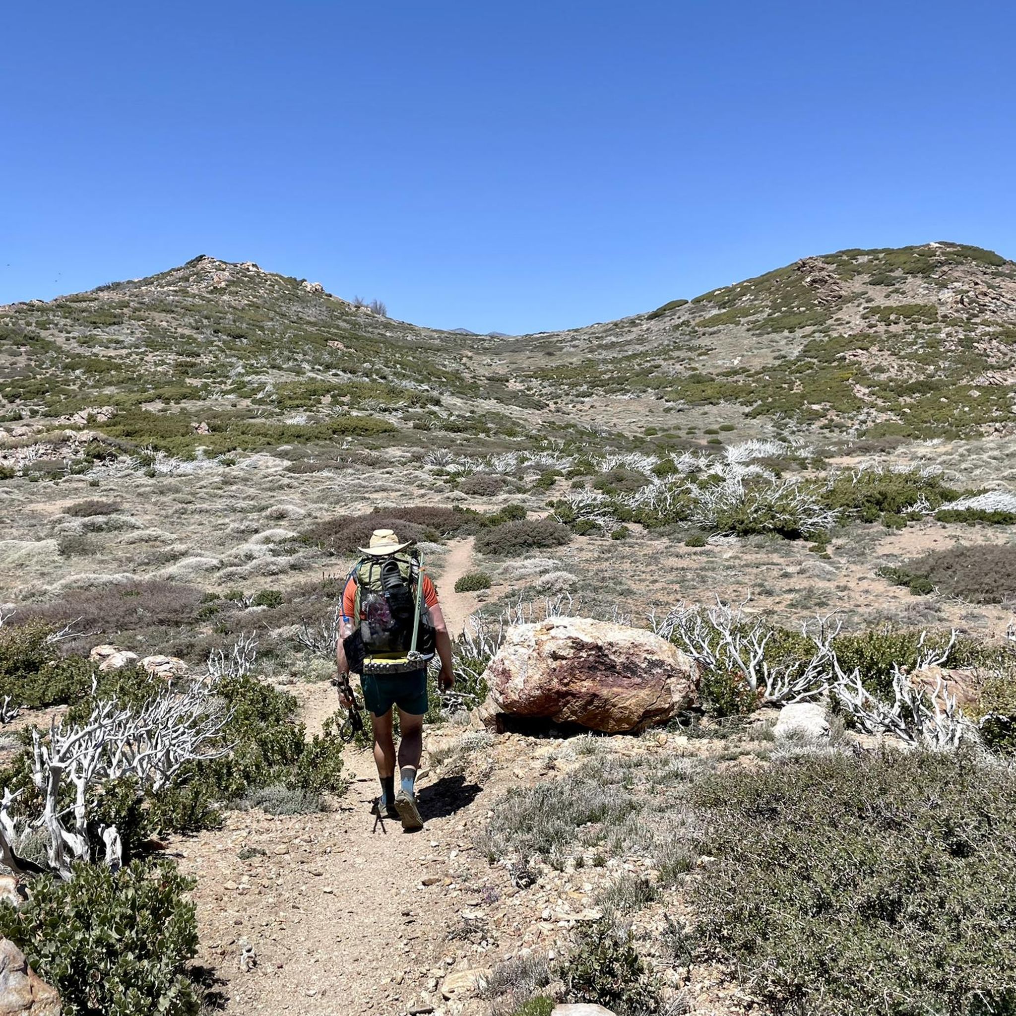
Hiking in Santa Rosa And San Jacinto Mountains National Monument
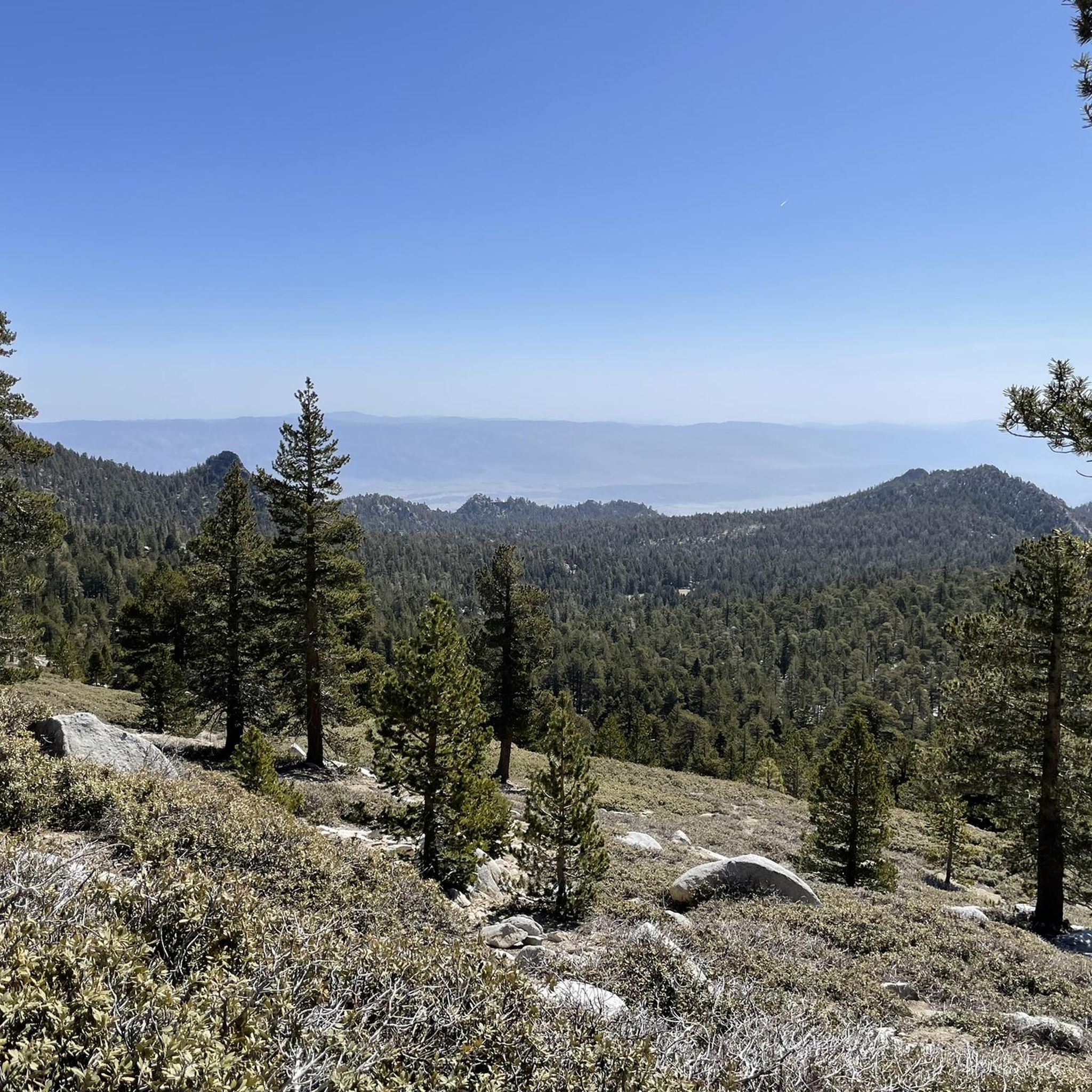
Running Trails in Santa Rosa And San Jacinto Mountains National Monument
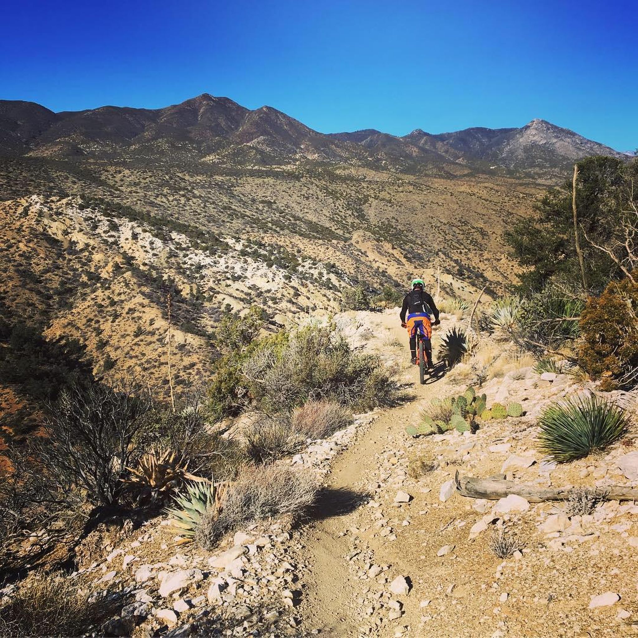
MTB Trails in Santa Rosa And San Jacinto Mountains National Monument
Cycling in Santa Rosa And San Jacinto Mountains National Monument
Road Cycling Routes in Santa Rosa And San Jacinto Mountains National Monument
Other adventures in Santa Rosa And San Jacinto Mountains National Monument


Tips from the Community

Since 2020, Palm Canyon Trail—a multi-use trail—has seen a significant increase in users: hikers, equestrian and mountain bikers, including eBikes. Most of the trail crosses BLM and US Forest Service land. The Trail crosses private land as well as land owned by Agua Caliente. The properties the Tribe recently received as ancestral land back donations were offered to the Tribe. As a property owner with the right to regulate access to its land, the Agua Caliente chose to improve a portion of Palm Canyon Trail that is on its land—not federal land. The Tribe conducted trail maintenance work within its own property in the Indian Canyons for emergency access, security and safety for our hikers and other lawful users of the Trail. Why did it do this? Because it values its lands and prioritizes proper management of it. Unfortunately, one entitled business owner, [Dave Wood, owner of Bikes and Brews -tgk] who is unhappy over the fact that mountain biking and e-mountain biking is not allowed in this area is acting out by spreading false information, which is unnecessarily causing confusion in the community. His false narrative insultingly prioritizes his desire to financially profit from trespassing on Tribal lands, over the Tribe’s right to protect its property and its cultural resources. Tribal employees are now receiving “anonymous” threats promising more property destruction if tribal staff attempts to interfere with this illegal activity, which generates profits by organizing trail rides for groups of bikers who (unknowingly) trespass on a trail where that activity is not permitted. The Tribe has never permitted mountain biking on its land. The land acquired as land back donations is now Tribal land and consistent with our policy, mountain biking and eBikes are prohibited. Anyone on a mountain or eBike accessing the land is in trespass of Tribal lands. Trespassing on, and damaging, the property of another is never ok. We ask this business owner to ride his bicycle somewhere else where this activity is permitted.
0
0
The Palm Canyon Epic Trail is now closed to mountain biking. In April and June 2024 several landowners of wilderness areas donated their land to the Agua Caliente Band of Cahuilla Indicans (ACBCI). The donated lands included important parts of the Palm Canyon Epic Trail. As part of ACBCI policy on land use, mountain bike travel is prohibited on these lands. Recently Margaret Park-Robinson, Chief Planning Officer of ACBCI released a statement concerning the closure of the PCE. She can be reached at 760-883-1326 or email: mpark@aguacaliente-nsn.gov I append the full statement to this comment. Tom Kohn ACBCI Statement on the PCE closure Since time immemorial, Agua Caliente and other Cahuilla have lived within the lands of the National Monument, including Palm Canyon. Since time immemorial, the Palm Canyon Trail has been a significant cultural and historical pathway for Cahuilla people. Since 2000, the National Monument was established despite concerns by Agua Caliente. The legislation directs the federal agencies (BLM & USFS) to consult with Agua Caliente. Since 2008, Palm Canyon and the portion of the trail was designated as a federal Wild & Scenic River by the US Forest Service despite concerns by Agua Caliente. continues in a following post...
0
0

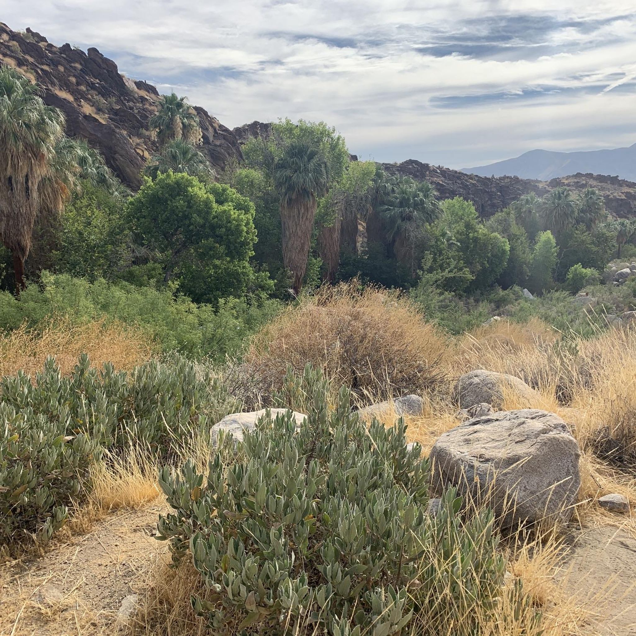
This desert oasis is home to 150 species of plants, all growing within a half-mile radius. The Andreas Canyon Trail goes through this canyon, passing interesting rock formations, and follows the perennial Andreas Creek.
0
0

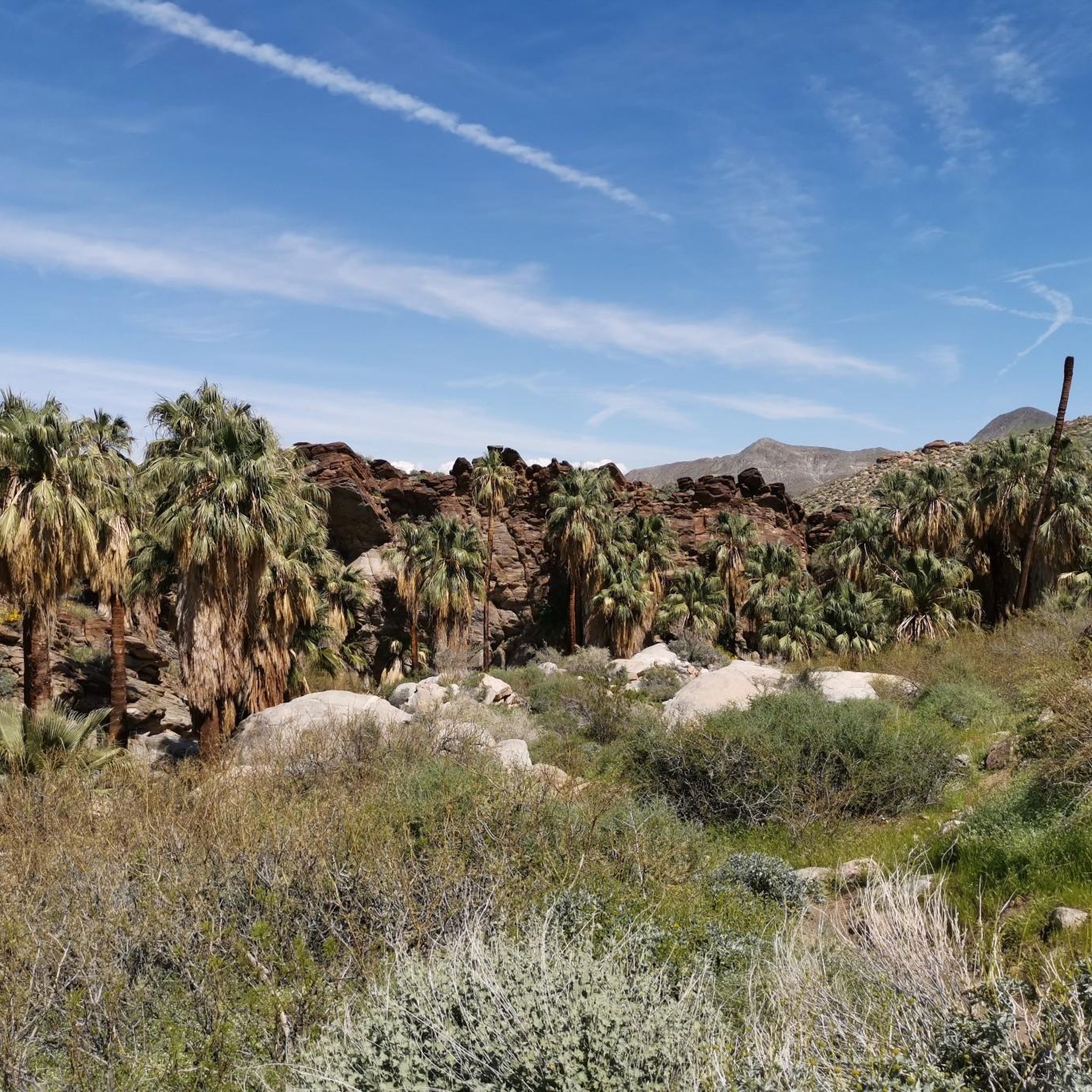
Carrizo Canyon Trail leads through the canyon of the same name in Palm Desert, California. As you walk up the wash, you can enjoy fascinating rock formations, palm trees and a (mostly dry) fall at the end of the trail.
0
0
Murray Canyon trail crosses this mountain-fed stream many times eventually leads to the Seven Sisters waterfall.
0
0
This desert oasis is home to 150 species of plants all growing within a half-mile radius. The Andreas Canyon Trail trail goes through this canyon passing with interesting rock formations and follows the perennial Andreas Creek.
0
0

Beautiful view of a palm tree, Andreas Canyon and the rock formation behind
1
0

This trail is suberb! Palm Canyon Trail is a true backcountry experience for experienced mountain bike riders. I recommend riding this trail between November and March when temperatures are still a bit cooler. Bring lots of water and don't forget to pack spare tubes.
1
0
Frequently Asked Questions
What are some easy canyon hikes in Santa Rosa And San Jacinto Mountains National Monument?
For an easy and accessible experience, consider the Andreas Canyon Oasis. The Andreas Canyon Loop Trail, which goes through this canyon, is rated easy and is about 1.7 km long, featuring interesting rock formations and following the perennial Andreas Creek. Another easy option is the Victor Trail Loop, a 4.7 km running trail that can also be hiked, offering a gentle introduction to the area's beauty. You can find more hiking options in the hiking guide.
Are there family-friendly canyon trails in Santa Rosa And San Jacinto Mountains National Monument?
Yes, the Andreas Canyon Oasis is categorized as family-friendly. Its trail is relatively easy and offers a chance to see 150 species of plants within a half-mile radius, making it an engaging experience for all ages. The perennial Andreas Creek also adds to its appeal.
What is the best time of year to hike the canyons in Santa Rosa And San Jacinto Mountains National Monument?
The best time to hike the canyons is typically from late fall through spring (November to March). During these months, temperatures are cooler and more comfortable for outdoor activities. Summer can be extremely hot, making hiking challenging and potentially unsafe, especially in exposed areas.
What kind of wildlife can I expect to see in the canyons?
The canyons, particularly areas like Andreas Canyon Oasis, are rich in biodiversity. Andreas Canyon alone is home to 150 species of plants. You might spot various desert birds, lizards, and possibly bighorn sheep or other mammals, especially near water sources like Andreas Creek or Murray Creek. Always observe wildlife from a respectful distance.
What should I wear for hiking in the Indian Canyons area?
Given the desert environment, it's essential to wear appropriate gear. Opt for lightweight, breathable clothing, sturdy hiking shoes with good grip, and a wide-brimmed hat for sun protection. Always bring plenty of water, even for shorter hikes, and consider sunscreen and sunglasses. Layers are advisable, especially during cooler mornings or evenings.
What are the parking and permit requirements for visiting the Indian Canyons?
Access to areas like Palm Canyon, Andreas Canyon Oasis, and Murray Canyon often requires an entrance fee, which typically covers access to all three. Parking is usually available at the main entrance points. It's always best to check the official Agua Caliente Band of Cahuilla Indians website for the most current information on fees, operating hours, and any specific permit requirements.
Are there any hidden gem canyons or less-known trails to explore?
While Palm Canyon and Andreas Canyon Oasis are popular, Carrizo Canyon Trail offers a unique experience. It leads through the canyon of the same name, showcasing fascinating rock formations and palm trees, often with a (mostly dry) fall at the end. It's a great option for those looking for a slightly different perspective of the region's canyons.
What outdoor activities can I do near these canyons?
Beyond hiking, the region offers a variety of outdoor activities. You can find numerous running trails, such as the moderate 6.2 km Murray Canyon Trail, which crosses a mountain-fed stream multiple times. For mountain biking, while the Palm Canyon Epic has restrictions on tribal land, other trails like the Cathedral City Loop are available. Explore more options in the hiking, running, and MTB guides for the area.
How do Palm Canyon and Andreas Canyon compare for hiking?
Palm Canyon is known for its dramatic landscape with dozens of tall palm trees contrasting against the desert. It offers a more extensive and rugged experience. Andreas Canyon Oasis, while also featuring palms, is characterized by its lush desert oasis environment, 150 plant species, and the perennial Andreas Creek. Andreas Canyon generally offers easier, shorter loop trails, making it very family-friendly, whereas Palm Canyon can involve more challenging and longer routes.
Are dogs allowed on canyon trails in the Santa Rosa And San Jacinto Mountains National Monument?
Policies regarding dogs can vary by specific area and land management. Within the Indian Canyons (which include Palm, Andreas, and Murray Canyons), dogs are generally permitted on trails but must be kept on a leash. It's always recommended to verify current regulations directly with the Agua Caliente Band of Cahuilla Indians or the specific land manager before your visit, as rules can change.
What are the cultural and historical aspects of the canyons in this region?
The canyons in Santa Rosa And San Jacinto Mountains National Monument hold significant cultural importance, having served as historical pathways and living areas for the Cahuilla people for centuries. These areas are ancestral lands, and their natural resources, such as perennial water sources and diverse plant life, were vital to the Cahuilla way of life. Exploring these canyons offers a glimpse into this rich heritage.
Are there any cafes or amenities near the entrance to Palm Canyon?
Near the entrance to the Indian Canyons, which includes Palm Canyon, there is typically a trading post or visitor center that offers snacks, drinks, and souvenirs. For a wider selection of cafes and restaurants, you would need to drive a short distance into Palm Springs, which is the closest major town with extensive amenities.
Most popular routes in Santa Rosa And San Jacinto Mountains National Monument
Most popular attractions in Santa Rosa And San Jacinto Mountains National Monument

Get inspired with the komoot mobile app


