Santa Rosa And San Jacinto Mountains National Monument
Santa Rosa And San Jacinto Mountains National Monument
The best walks and hikes in Santa Rosa And San Jacinto Mountains National Monument
4.7
(234)
4,176
hikers
79
hikes
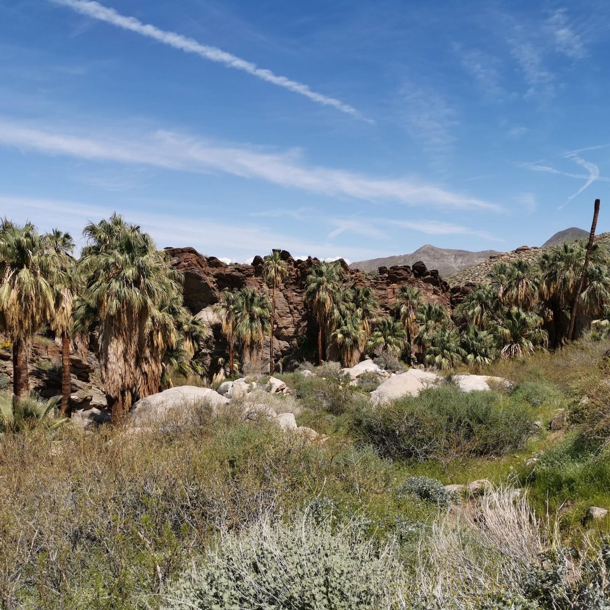
Hiking in Santa Rosa And San Jacinto Mountains National Monument offers diverse terrain, transitioning from arid desert to alpine forests across approximately 280,000 acres. The monument features dramatic elevation changes, rising sharply from arid desert floors to over 10,000 feet at Mount San Jacinto Peak. This creates a variety of ecosystems, including unique palm oases, desert washes, chaparral, pinyon pines, and high-elevation forests. The landscape is characterized by an 11,000-foot vertical gain over just 12 miles, showcasing significant geological features.
Best hiking trails in Santa Rosa And San Jacinto Mountains National Monument
- The most popular hiking route is Palm Canyon Trail — San Bernardino National Forest, a 3.4 miles (5.4 km) trail that takes 1 hour 31 minutes to complete. This route explores a significant palm oasis within the monument.
- Another top favourite among local hikers is Tahquitz Falls loop — Palm Springs, an easy 1.8 miles (2.8 km) path. This trail leads to a seasonal waterfall and offers views of the surrounding desert landscape.
- Local hikers also love the Desert View Trail loop from Peaks Restaurant — Mount San Jacinto State Wilderness, a 1.7 miles (2.7 km) trail leading through high-elevation terrain, often completed in about 46 minutes.
- Hiking in Santa Rosa And San Jacinto Mountains National Monument is defined by desert landscapes, palm oases, and alpine forests. The network offers options for various ability levels, from accessible paths to more challenging mountain ascents.
- The routes in Santa Rosa And San Jacinto Mountains National Monument are highly rated by the komoot community with an average score of 4.8 stars from over 200 reviews. More than 3,800 hikers have used komoot to explore Santa Rosa And San Jacinto Mountains National Monument's varied terrain.
Last updated: August 31, 2026
5.0
(4)
59
hikers
12.2km
03:58
740m
220m
Embark on a dramatic journey through multiple climate zones on the San Jacinto Peak and Round Valley Loop. You'll traverse dense pine forests and meadows in Round Valley, where wildflowers bloom in spring, before ascending to exposed, rocky terrain. The highlight is undoubtedly the summit of San Jacinto Peak, offering spectacular 360-degree panoramic views of the Coachella Valley, Salton Sea, and distant mountain ranges.
This difficult 7.6-mile (12.2 km) hike involves a substantial 2433 feet (741 metres) of elevation gain, taking approximately 3 hours and 58 minutes. Access is typically via the Palm Springs Aerial Tramway, which significantly reduces the initial climb. Remember that a free day-use wilderness permit is required beyond the Long Valley Ranger Station, and high altitude can be a factor, so plan accordingly.
What makes this trail truly notable is the dramatic transition from desert landscapes to alpine wilderness in a single day, especially when using the tram. The area is part of the Mount San Jacinto State Park, a high-elevation wilderness offering a cool escape from the desert heat. Keep an eye out for wildlife like mule deer and mountain chickadees, and appreciate the historical significance of the CCC-built cabin near the peak.
4.0
(1)
90
hikers
28.5km
09:16
2,140m
20m
The Pacific Crest Trail segment from Snow Creek to Fuller Ridge offers a dramatic and difficult hiking experience. You will journey 17.7 miles (28.5 km) through shifting landscapes, gaining an impressive 7028 feet (2142 metres) in elevation. Starting with desert scrub near Snow Creek Road, the route quickly climbs, revealing spectacular views over Whitewater and the rugged West Fork of Snow Creek. As you ascend, the environment transforms into a high, timbered ridge, providing panoramic vistas of the San Bernardino Valley and distant snow-capped peaks. Expect this challenging hike to take around 9 hours and 15 minutes to complete.
Planning your trip requires careful consideration for this difficult route. Be prepared for challenging conditions, especially if you hike during cooler months, as snow can persist on Fuller Ridge. You might need microspikes and ice axes for these sections. Wilderness permits are necessary for parts of the trail within Mt. San Jacinto State Park. Also, accessing the Fuller Ridge Trailhead often requires a high-clearance 4x4 vehicle due to the rough road conditions leading up to it.
This trail is notable for its dramatic transition from arid desert to alpine environments. You will experience a unique ecological shift, moving from brittlebush and cacti at lower elevations to a dry pine forest higher up. The route provides an intense workout and a significant challenge for experienced hikers seeking a diverse and rewarding journey. It is a classic section of the Pacific Crest Trail, showcasing the varied beauty of the San Jacinto Wilderness.

Sign up for free
4.5
(2)
23
hikers
11.1km
03:13
280m
280m
Embark on the Dry Wash Loop Trail for a moderate hiking experience that takes you through desert creek beds and canyons. This 6.9-mile (11.1 km) loop features an elevation gain of 903 feet (275 metres) and typically takes around 3 hours and 12 minutes to complete. As you hike, you will encounter towering canyon walls and indigenous palm trees, especially where the route connects with Palm Canyon, offering a distinct desert landscape.
Before you head out, be aware that the trail is located within the Indian Canyons, which may require an entry fee. Parking is generally available at the trailhead, but it is always wise to check local conditions and operating hours before your visit. To ensure a comfortable hike, plan your trip for the cooler parts of the day or during the milder seasons.
This route offers more than just a scenic hike; it provides a glimpse into the rich cultural history of the Agua Caliente Band of Cahuilla Indians Reservation. The area is known for its unique vegetation and holds significant cultural value, with ancient rock mortars serving as reminders of past Cahuilla Indian village sites. It is a rewarding journey that combines natural beauty with historical depth.
5
hikers
7.78km
02:28
300m
300m
Embark on the Garstin, Shannon and Henderson Trail Loop for a moderate hike offering expansive views of the Coachella Valley. This 4.8-mile (7.8 km) route involves a significant climb of 996 feet (303 metres), taking approximately 2 hours and 28 minutes to complete. As you ascend, you'll experience a good workout on terrain that can be sandy or rocky, especially during the initial steep section. From higher elevations, you can enjoy panoramic vistas of Palm Springs, including an eye-level perspective of the iconic Bob Hope House. Keep an eye out for San Gorgonio Peak in the distance and the winding Palm Canyon Creek below.
To make the most of your hike, consider starting early in the morning, particularly if you are visiting outside of the cooler seasons, as the trail offers little to no shade. The trailhead is conveniently located in south Palm Springs, easily accessible off Barona Road near its intersection with Bogert Trail. Be aware that you may encounter equestrians and mountain bikers sharing parts of this route, so stay alert and share the path respectfully.
This loop is situated within the Santa Rosa and San Jacinto Mountains National Monument, a protected area known for its diverse desert and mountain ecosystems. The trail provides a unique vantage point to appreciate the vastness of the Coachella Valley, stretching out below the rugged San Jacinto Mountains. It's a great option for those seeking a substantial workout combined with rewarding desert scenery, showcasing the natural beauty surrounding Palm Springs.
5.0
(2)
3
hikers
5.95km
02:31
710m
30m
The San Jacinto Peak from the Tramway offers a dramatic transition from desert views to high-altitude alpine wilderness, all packed into a challenging 3.7-mile (5.9 km) hike. You'll ascend through shaded pine and fir forests, pass through the broad, grassy expanse of Round Valley, and eventually tackle a Class 2 boulder scramble to reach the 10,834-foot summit. The 2323 feet (708 metres) of elevation gain makes this a difficult route, but the 360-degree views from the top are legendary, with naturalist John Muir calling them "the most sublime spectacle to be found anywhere on this earth!".
To embark on this adventure, you'll first take the Palm Springs Aerial Tramway, which bypasses thousands of feet of elevation gain, making this a feasible day trip. Remember to pick up a free, self-issued wilderness permit at the Mount San Jacinto State Park ranger station in Long Valley before you start. Be ready for significantly colder temperatures at the top, often 30-40 degrees Fahrenheit cooler than the desert floor, and consider that snow and ice are common between November and April, potentially requiring microspikes. The estimated duration for this hike is around 2 hours and 30 minutes, so plan accordingly.
San Jacinto Peak holds the distinction of being the highest point in Riverside County and is one of Southern California's
Get access to more routes and recommendations from other explorers.
Sign up for free
Already have an account?
Our route recommendations are based on thousands of hikes, rides, and runs completed by other people on komoot.
Start today with a free account
Your next adventure awaits.
Login or Signup
Popular around Santa Rosa And San Jacinto Mountains National Monument

Pacific Crest Trail from Mexico to Canada – 4,200 kilometres of wilderness

The tour of your life – music trails on the Pacific coast
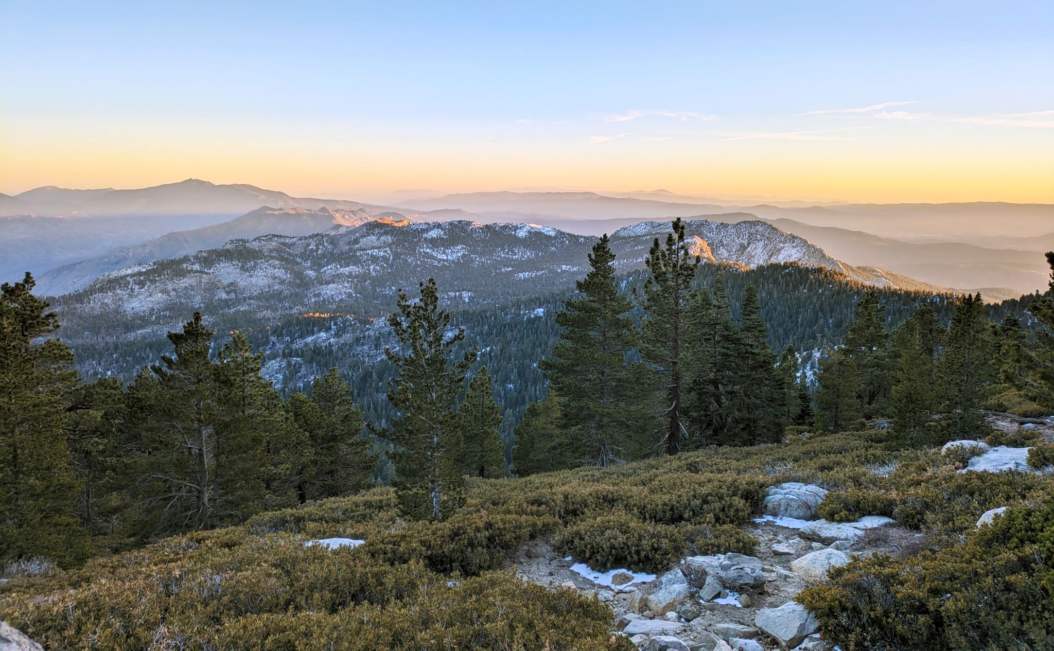
Climbing Mount San Jacinto on the Deer Springs Trail
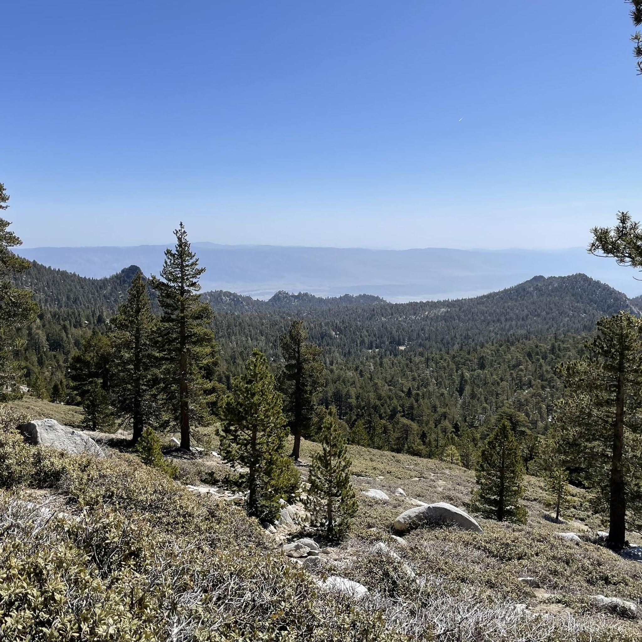
Running Trails in Santa Rosa And San Jacinto Mountains National Monument
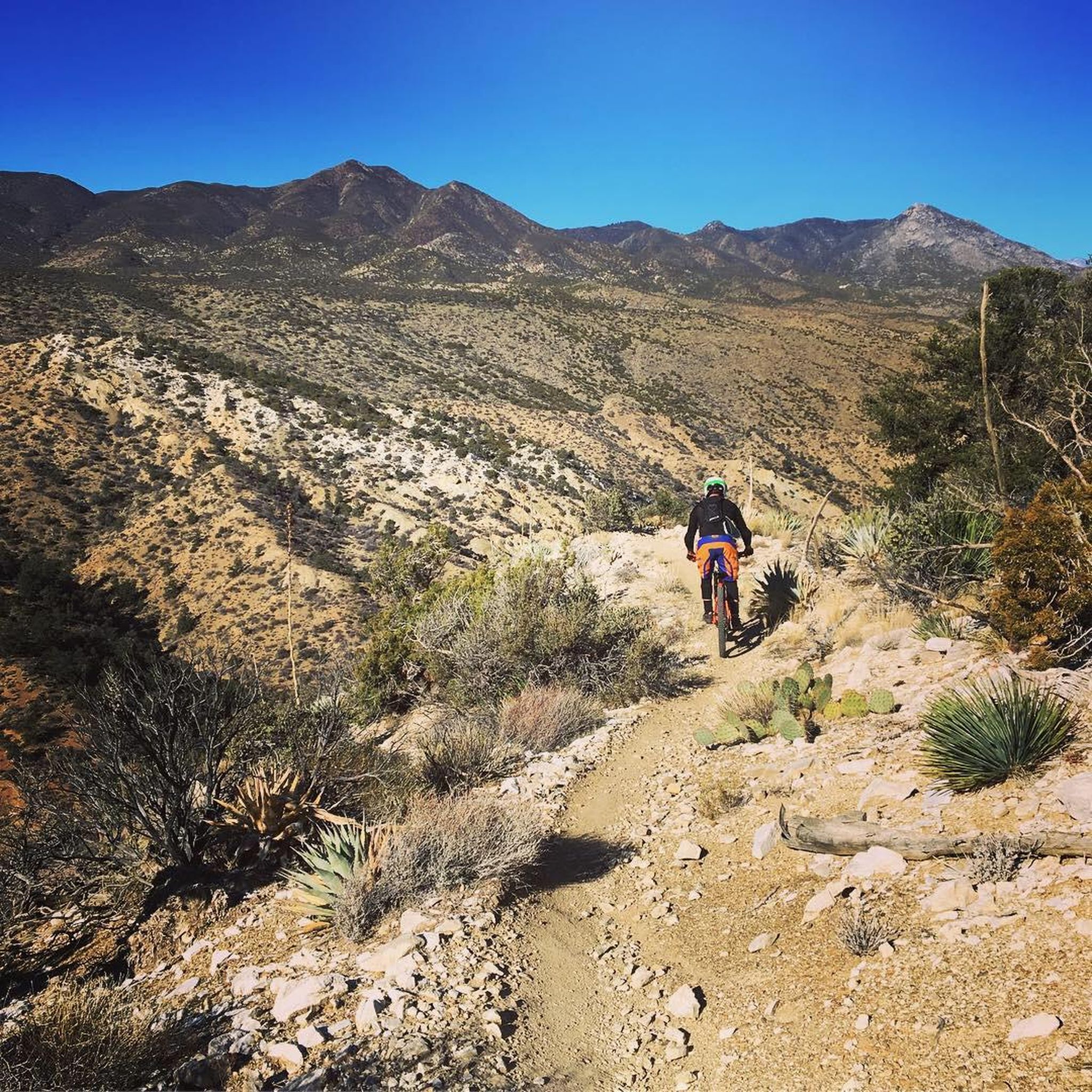
MTB Trails in Santa Rosa And San Jacinto Mountains National Monument
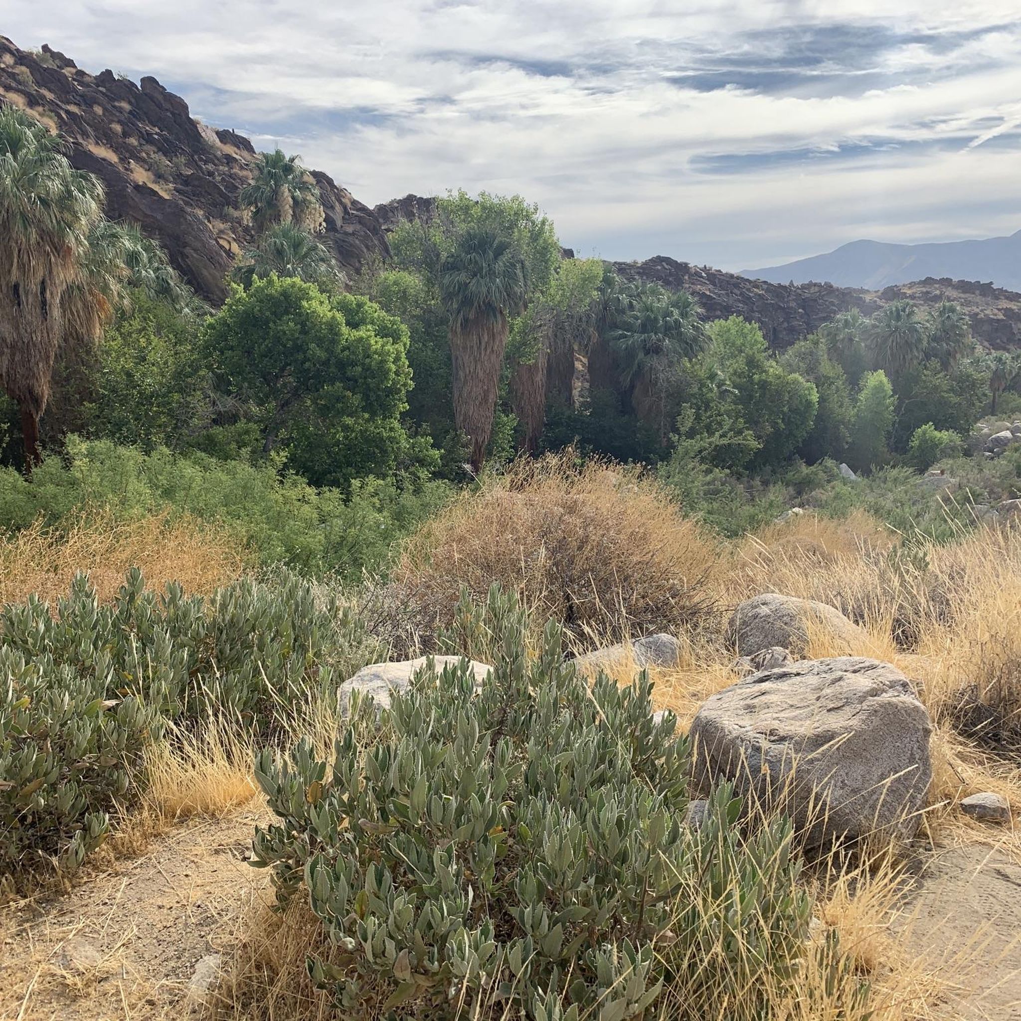
Cycling in Santa Rosa And San Jacinto Mountains National Monument
Road Cycling Routes in Santa Rosa And San Jacinto Mountains National Monument
Other adventures in Santa Rosa And San Jacinto Mountains National Monument


Tips from the Community

Round Valley is one of the designated campgrounds at San Jacinto State Park. It is a primitive camp, with no other amenities than a couple of cabin toilets and a fountain (the water needs to be purified). The area is very large and there are several plots to choose from, spread across a beautiful coniferous forest through which a crystalline stream runs.
0
0

Wellman Divide is at a trail junction at 9700 feet above sea level. From here you can choose to go... South on Wellman's Cienaga Trail... East on Round Valley trail, taking you back to the restaurant... Or North on Peak Trail to the San Jacinto Summit.
0
0

With 10,883 feet, Mount San Jacinto is the highest peak in the San Jacinto Mountains. There is a network of hiking trails around the summit and the San Jacinto State Park itself. If the weather turns for the worst, you can find shelter in a little hut close to the summit. You can either take a hike from Idyllwild on the west side of the mountain or Palm Springs on the east side. There is also an aerial tramway you can use to get into the San Jacinto Wilderness. If you feel adventurous, you can cross the mountain range using the Pacific Crest Trail.
0
0
As you might expect, the Peak Trail leads you to the summit of Mount San Jacinto and the shelter hut below. There is snow very likely at least until late spring if not into early summer.
5
0
This observation deck has binoculars to look down on the desert below. Behind you is the San Jacinto wilderness!
0
0
Snow Creek Road is a popular spot for trail magic that is provided for hikers of the Pacific Crest Trail and much appreciated along this hot section.
3
0
Cross over Snow Creek Paved Road momentarily. In one direction is the massive San Jacinto, and the other Cabazon and the windmill farms.
0
0
Turn a corner to some of the first views over the desert going north off San Jacinto. As you descend down the Pacific Crest Trail, the environment changes from pine forest to bouderous desert.
0
0
Frequently Asked Questions
How many hiking trails are available in Santa Rosa And San Jacinto Mountains National Monument?
The Santa Rosa And San Jacinto Mountains National Monument offers a wide network of trails, with over 50 hiking routes documented on komoot. These range from easy strolls to challenging mountain ascents, catering to various skill levels.
What kind of landscapes can I expect to see while hiking here?
Hikers will experience a dramatic transition of landscapes, from arid desert floors with magnificent palm oases to chaparral brush, pinyon pines, and eventually alpine forests at higher elevations. The monument is known for its stunning scenic backdrops and diverse ecosystems.
Are there easy trails suitable for families or beginners?
Yes, there are many easy options. Approximately 23 of the routes on komoot are rated as easy. For instance, the Andreas Canyon loop — Palm Springs is a gentle 1.7 km path. The Ed Hastey Garden Trail around the Visitor Center is also an accessible concrete path introducing native plants.
Are there challenging routes for experienced hikers?
Absolutely. For those seeking a challenge, there are 9 difficult routes available. The monument's terrain rises dramatically to over 10,000 feet, offering strenuous climbs and rewarding views. Sections of the Pacific Crest Trail also traverse the monument.
What natural features or landmarks can I see along the trails?
The monument is rich in natural landmarks. You can explore significant palm oases like Palm Canyon, discover seasonal waterfalls such as Tahquitz Falls, and ascend to prominent peaks like San Jacinto Peak. The Andreas Canyon Oasis is another notable highlight.
What is the best time of year to visit for hiking?
Lower elevation trails are best enjoyed from November through April when temperatures are milder. For higher elevation trails, the ideal time is from May through October, as these areas can be snow-capped during cooler months.
Are there any circular routes available?
Yes, many trails in the monument are designed as loops, offering varied scenery without retracing your steps. Examples include the Desert View Trail loop from Peaks Restaurant and the Andreas Canyon loop.
What do other hikers enjoy most about hiking in Santa Rosa And San Jacinto Mountains National Monument?
The area is highly rated by the komoot community, with an average score of 4.9 stars from over 100 reviews. Hikers often praise the dramatic elevation changes, the unique transition from desert to alpine environments, and the well-maintained trails leading to stunning viewpoints and natural oases.
Is parking available at the trailheads?
Yes, parking is generally available at various trailheads and visitor centers throughout the monument. It's advisable to check specific trail information or the Visitor Center for details on parking facilities for your chosen route.
Are permits required for hiking in certain areas?
Some areas within the monument, particularly those managed by the Agua Caliente Band of Cahuilla Indians (like the Indian Canyons), may require an entrance fee or permit. For higher elevation wilderness areas, especially those accessed via the Palm Springs Aerial Tramway, specific permits might be necessary for overnight stays or certain routes. It's best to check with the local authorities or the Visitor Center before your hike.
What kind of wildlife can I spot while hiking?
The monument is home to a high level of biodiversity. You might spot bighorn sheep, various desert birds, and other desert wildlife. Always maintain a respectful distance and be aware of your surroundings, as rattlesnakes and other creatures are native to the area.
Where can I find more information or maps for my hike?
The Santa Rosa and San Jacinto Mountains National Monument Visitor Center, located off Highway 74, is an excellent resource. It provides interpretive displays on the monument's geology and ecology, maps, and knowledgeable staff to help you plan your adventures. You can also find general information on the BLM website.
Most popular routes in Santa Rosa And San Jacinto Mountains National Monument
Most popular attractions in Santa Rosa And San Jacinto Mountains National Monument

Get inspired with the komoot mobile app


Explore more
Browse the best Hikes in other regions.
