Larrako Erreserba Naturala/Reserva Natural De Larra
Larrako Erreserba Naturala/Reserva Natural De Larra
The 4 Most Amazing Peaks in Larrako Erreserba Naturala/Reserva Natural De Larra
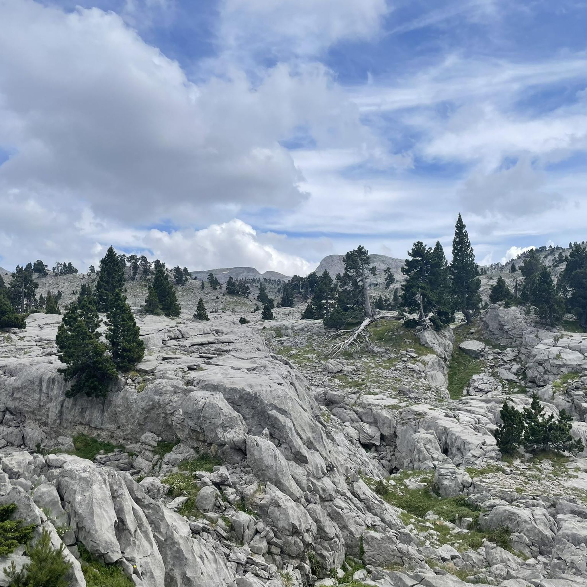
Best mountain peaks in Larrako Erreserba Naturala/Reserva Natural De Larra are situated in the Pyrenees, offering diverse landscapes. This region is known for its karstic terrain, including deep chasms and unique geological formations. It marks historical borders and is home to peaks with mythological associations. The area features a mix of grassy slopes, steep cliffs, and varied forests, supporting diverse flora and fauna.
Best mountain peaks in Larrako Erreserba Naturala/Reserva Natural De Larra
- The most popular mountain peaks is Table…
Last updated: May 28, 2026
Table of the Three Kings (Hiru Erregen Mahaia)
Highlight • Summit
Translated by Google •
Tip by

Pic d'Arlas
Highlight • Summit
The …
Translated by Google •
Tip by

Sign up now to discover places like this
Get recommendations on the best single tracks, peaks, & plenty of other exciting outdoor places.
Sign up for free
View of the South Face of Pic d'Anie
Highlight • Viewpoint
You will be surrounded by vegetation on the HRP Variant 7.1 track.
Translated by Google •
Tip by

ChimneyTable3Kings
Highlight (Segment) • Climb
Translated by Google •
Tip by
Table of the Three Kings
Highlight • Summit
A demanding hike to get there
Translated by Google •
Tip by

Start today with a free account
Your next adventure awaits.
Login or Signup
Popular around Larrako Erreserba Naturala/Reserva Natural De Larra
Hiking in Larrako Erreserba Naturala/Reserva Natural De Larra
Road Cycling Routes in Larrako Erreserba Naturala/Reserva Natural De Larra
Running Trails in Larrako Erreserba Naturala/Reserva Natural De Larra
Cycling in Larrako Erreserba Naturala/Reserva Natural De Larra
MTB Trails in Larrako Erreserba Naturala/Reserva Natural De Larra

Mountain Hikes in Larrako Erreserba Naturala/Reserva Natural De Larra
Tips from the Community


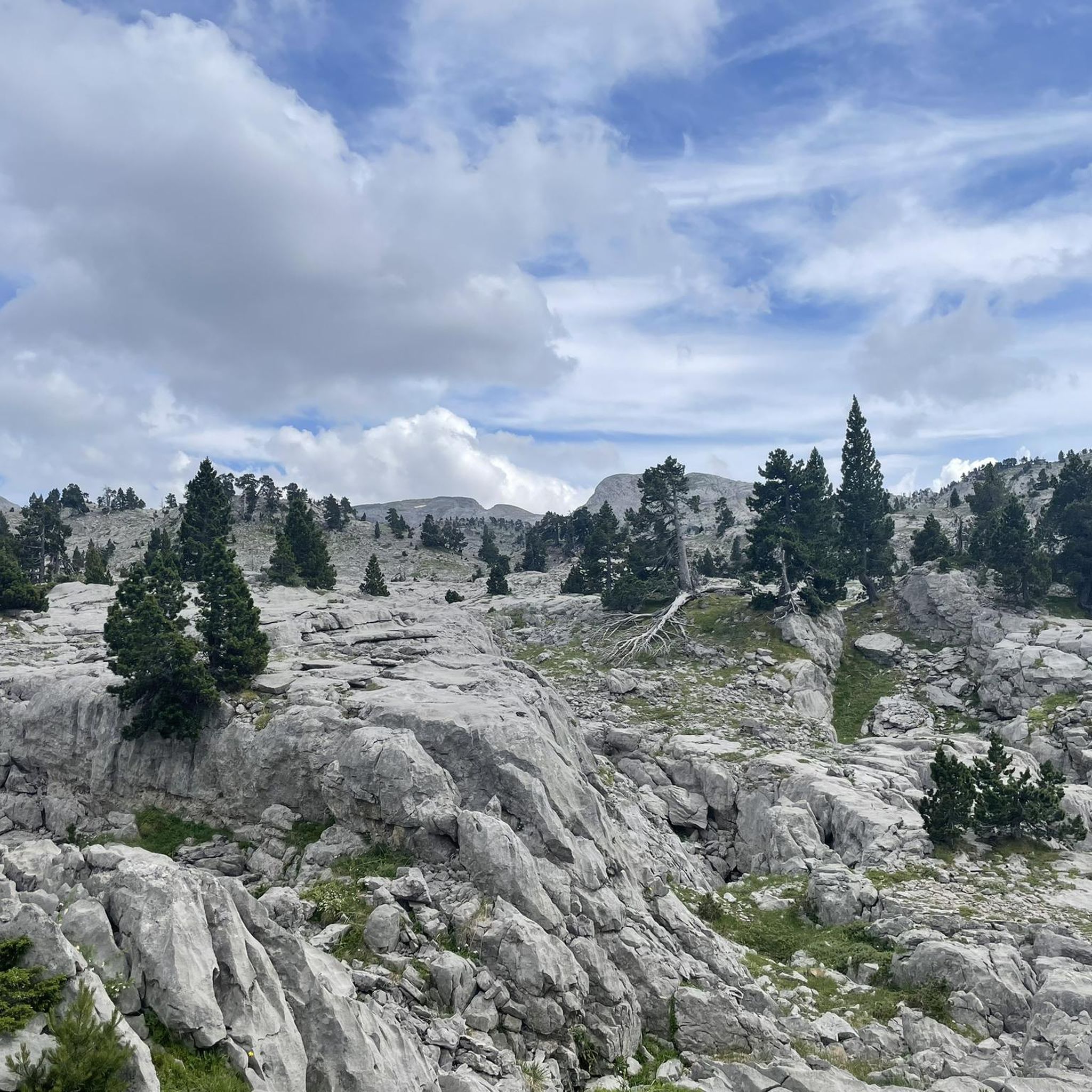
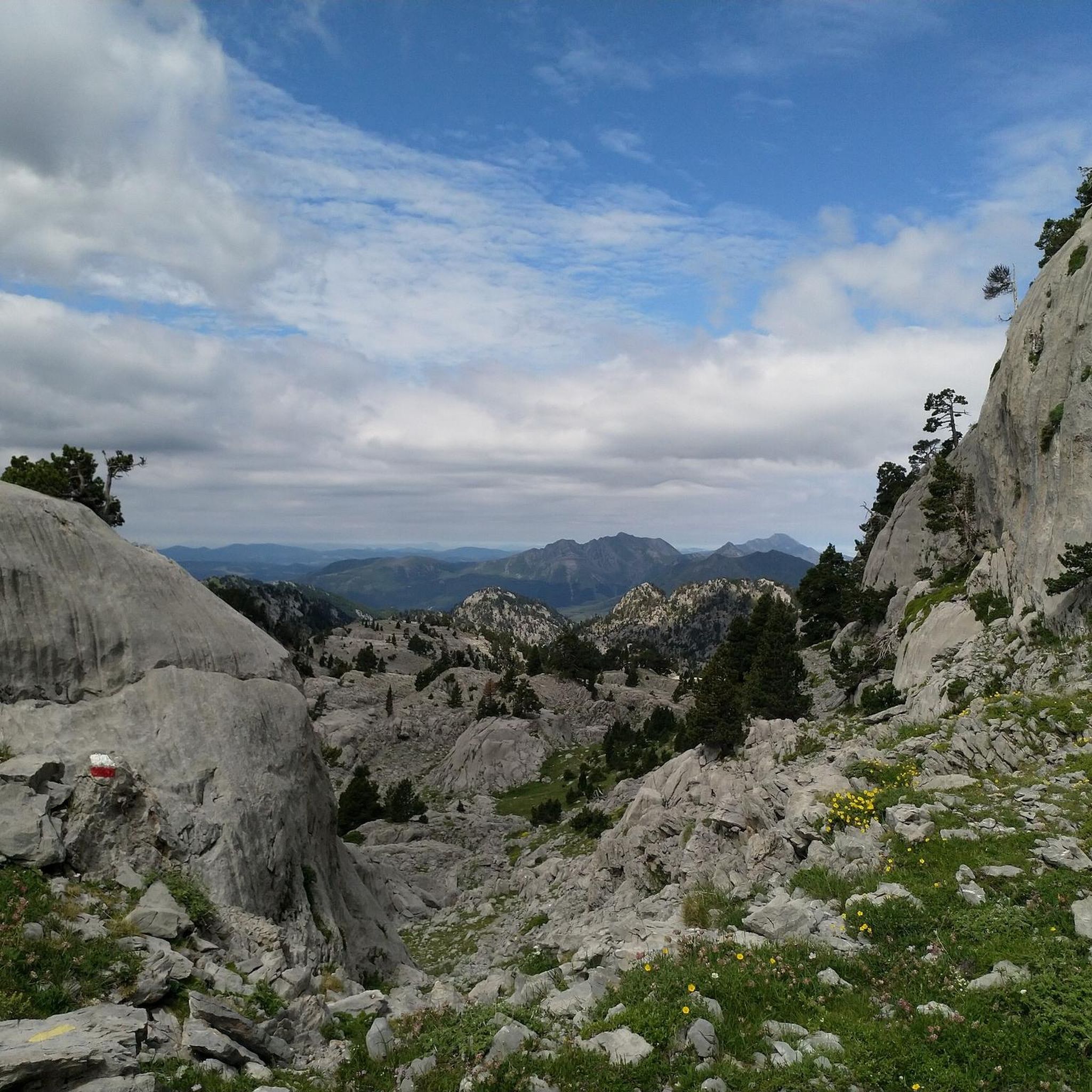
The Mesa de los Tres Reyes is the highest peak in Navarra with 2444 meters. It starts from the Linza refuge, being a hard and demanding climb due to the distance (17 km round trip) and the difference in altitude (1309 meters); and the last climb to reach the top in which you inevitably have to put your hands down on a steep slope with loose stones, although it is even more impressive on the way down. But the effort is rewarded by the areas that are crossed and the views throughout the journey.
1
0

It is best to put the bag down before climbing to the table.
0
0

As they say...complicated part to climb
0
0

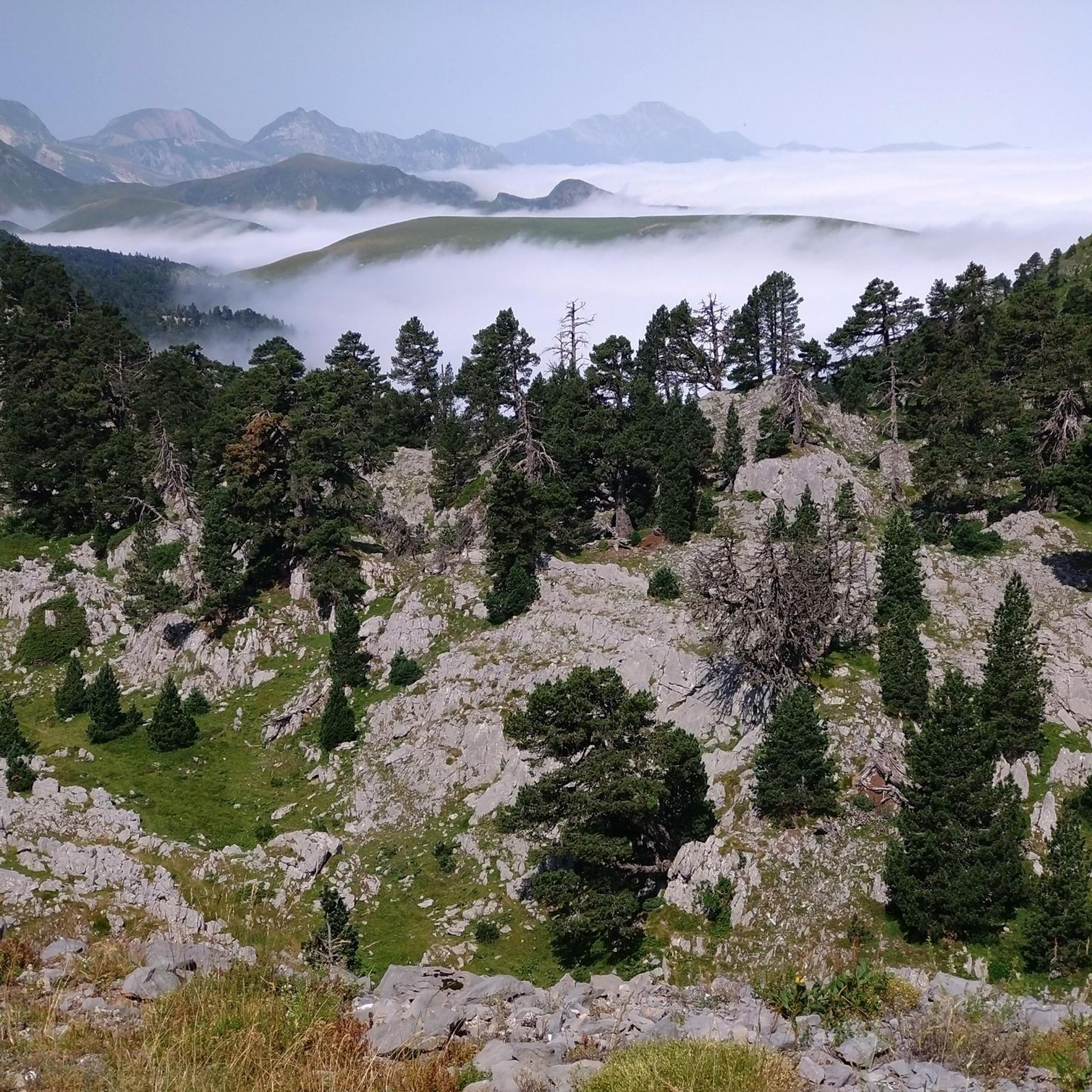
The peak of Arlas forms a beautiful, incisive tooth, which stands out particularly well in the surrounding panoramas. On this point, you are ideally placed to admire his profile. The peak rises to an altitude of 2,044 meters and is located between Navarre in Spain and the Pyrénées-Atlantiques in France.
0
0

The last stretch to "the table" is an easy climb but, like everything in high mountains, it is not without risk if you stumble. It is not uncommon to hear the cry of "stone" from someone who slips when stepped wrong.
1
0
One of the "must do" summits if you live "not so far" from it.
5
0

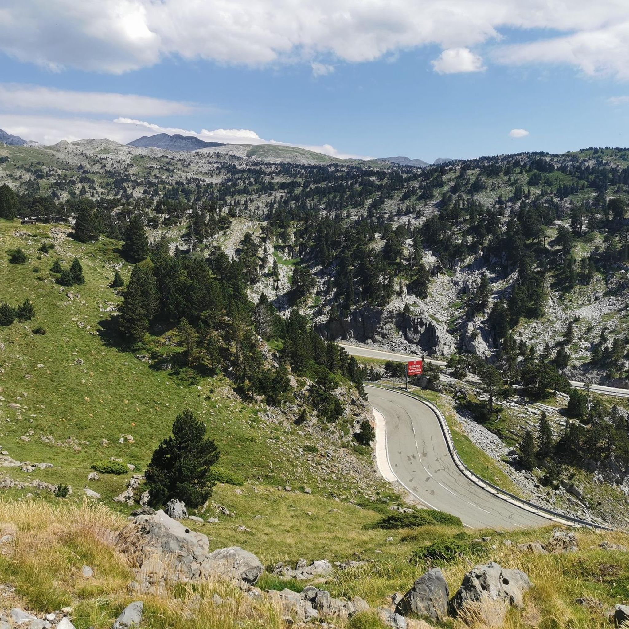
In this area you can stop to see the incredible views towards Anie peak, one of the most iconic peaks in the Pyrenees. You will be surrounded by vegetation on the HRP Variant 7.1 track.
1
1
Frequently Asked Questions
What are the most notable mountain peaks to visit in Larrako Erreserba Naturala/Reserva Natural De Larra?
The region features several impressive peaks. Among the most notable are Table of the Three Kings (Hiru Erregen Mahaia), the highest point in Navarre, and Pic d'Arlas, known for its distinctive 'tooth-like' shape. Pico de Orhi is also significant as the westernmost 'two-thousand' meter peak in the Pyrenees, offering exceptional vistas.
What is the historical significance of Mesa de los Tres Reyes?
Mesa de los Tres Reyes, meaning 'Table of the Three Kings,' is historically significant as it marks the ancient meeting point of the kingdoms of Navarre, Aragon, and Béarn (France). Today, it continues to mark the border between France, the province of Huesca, and Navarre. It's also the site where the 'Tribute of the Three Cows,' an ancient cross-border treaty, is still honored annually.
What kind of views can I expect from the mountain peaks in this region?
The peaks offer breathtaking panoramic views. From Table of the Three Kings, you can see surrounding mountains like Anie, Petrechema, Bisaurín, Aspe, and Balaitús. Pico de Orhi provides exceptional vistas of the Irati Forest and other peaks, with views extending to Moncayo or even the Cantabrian Sea on clear days. View of the South Face of Pic d'Anie offers incredible perspectives of the iconic Anie Peak.
How challenging are the ascents to the mountain peaks in Larrako Erreserba Naturala/Reserva Natural De Larra?
Ascents can range in difficulty. For instance, the climb to Table of the Three Kings is considered challenging, involving a demanding route through a lapiaz (karst) area and a steep final stretch with loose stones that often requires using your hands. Pico de Orhi, however, is relatively more accessible, with a common ascent route from the Larrau pass parking lot taking approximately an hour.
Are there any mythological associations with the peaks in this area?
Yes, Pico de Orhi holds mythological significance. According to Basque mythology, it is believed to be the dwelling place of Mari, the goddess of nature's genies, and Basajaun, the lord of the forest.
What unique natural features characterize the Larra massif around Anie Peak?
The Larra massif, where Anie Peak is located, is a spectacular karstic landscape. It is sculpted from limestone rock and features an intricate network of underground galleries and some of the world's deepest chasms. The area also boasts diverse flora, including black pines, beech, and fir forests.
What kind of wildlife can be spotted around the mountain peaks?
The region is rich in fauna. Around Pico de Orhi, especially on the steep cliffs of the French side, you can often observe vultures and Egyptian vultures in flight. The area around Anie Peak is home to chamois, marmots, and golden eagles.
What outdoor activities can I do near the mountain peaks in Larrako Erreserba Naturala/Reserva Natural De Larra?
Beyond peak bagging, you can find various outdoor activities. There are numerous easy hikes, running trails, and cycling routes throughout the natural reserve. Options range from short loops like the Ibonet de la Contienda loop to longer, more challenging routes such as the Soudet Pass – Labays Pass cycling loop.
Are there any family-friendly options for exploring the mountain areas?
While some peaks are challenging, there are easier routes available in the wider region. For family-friendly options, consider exploring the easy hikes guide, which includes routes like the Linza Refuge – Achar del Caballo loop or the Arrako Waterfall – Juan Pito Trail Junction loop, offering less strenuous ways to enjoy the natural beauty.
What is the best time to visit Larrako Erreserba Naturala/Reserva Natural De Larra for mountain hiking?
The best time to visit largely depends on the specific peaks and your experience level. Summer and early autumn generally offer the most favorable weather conditions for higher-altitude hikes, with clearer paths and milder temperatures. However, some routes, like the ascent to Table of the Three Kings, can be demanding and require good weather conditions regardless of the season.
What makes Pic d'Arlas stand out among the other peaks?
Pic d'Arlas is particularly recognized for its distinctive, sharp 'tooth-like' shape. This unique profile makes it a striking landmark and offers excellent viewpoints to admire its form and the surrounding panoramic landscapes.
Where can I find information about specific hiking routes near these peaks?
You can find detailed information on various hiking routes in the area by exploring the Easy hikes in Larrako Erreserba Naturala/Reserva Natural De Larra guide. This guide provides details on routes like the Larra-Belagua Ski Center loop or the Detour Towards the Road – Arrako Waterfall loop, among others.
Most popular routes in Larrako Erreserba Naturala/Reserva Natural De Larra
Most popular attractions in Larrako Erreserba Naturala/Reserva Natural De Larra

Get inspired with the komoot mobile app


Explore more
See even more amazing summits in Larrako Erreserba Naturala/Reserva Natural De Larra with these guides:
