The best walks and hikes in Larrako Erreserba Naturala/Reserva Natural De Larra
4.6
(960)
8,701
hikers
187
hikes
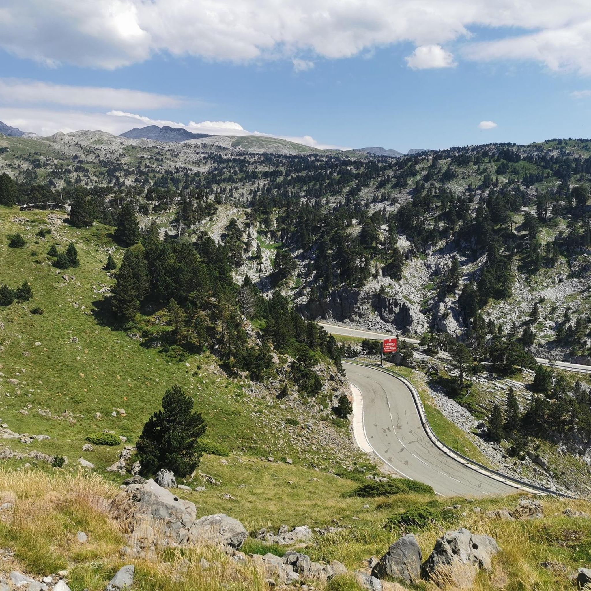
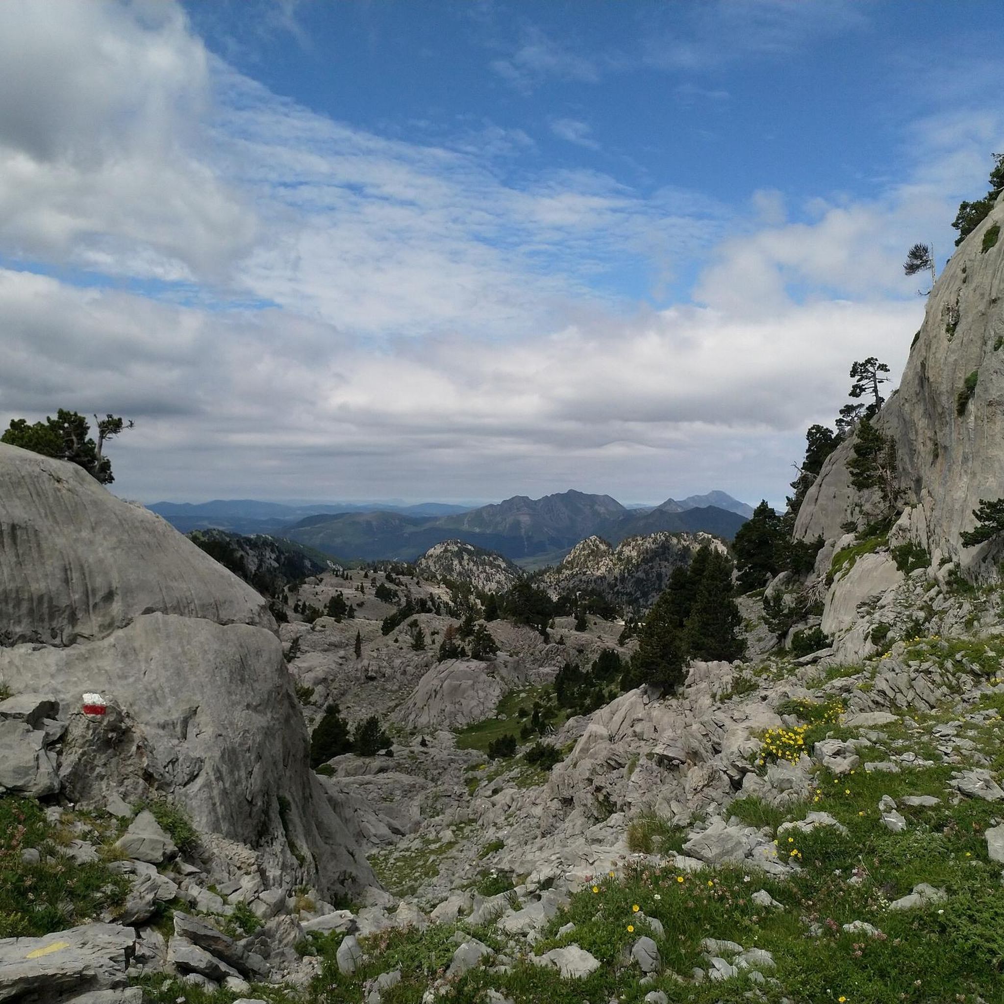
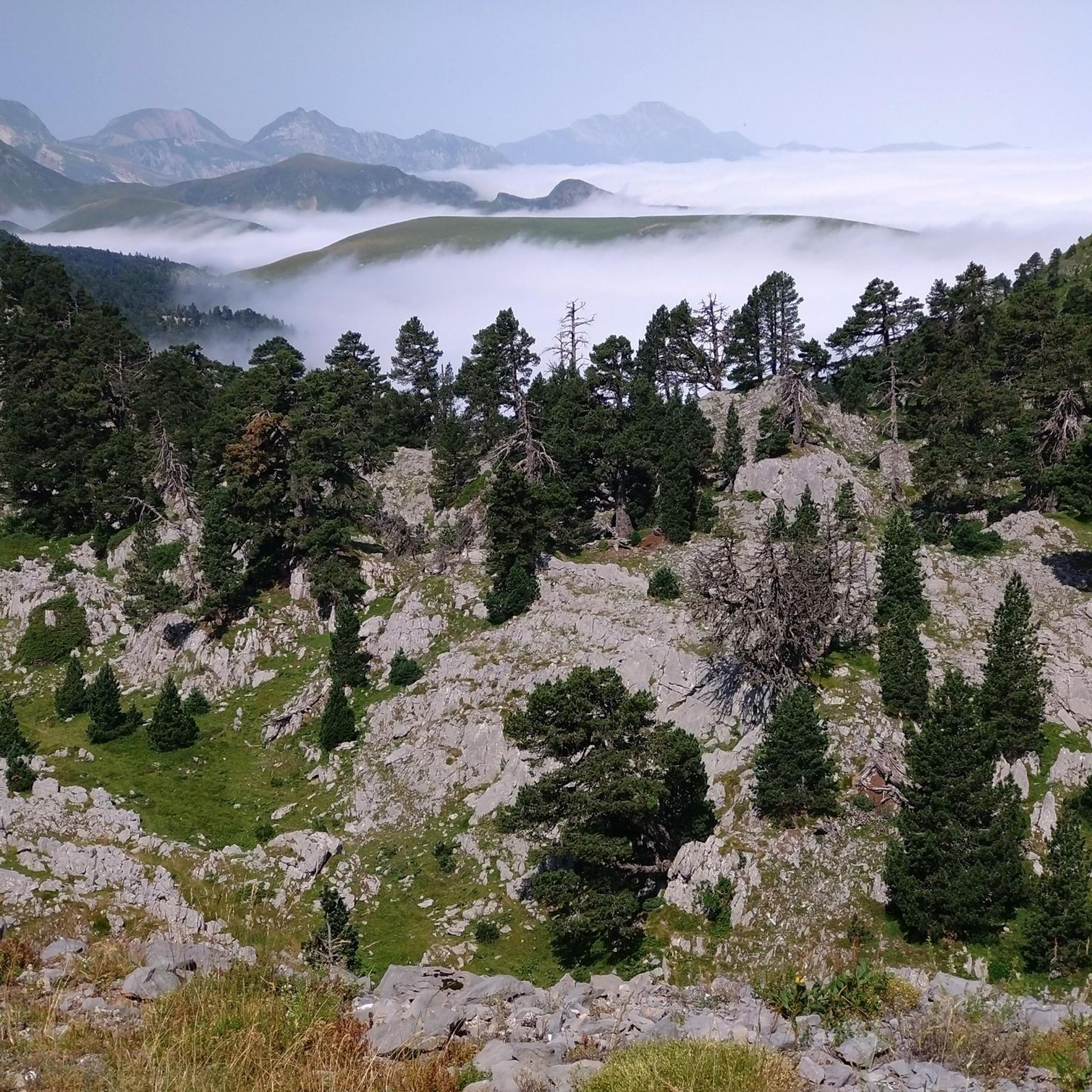
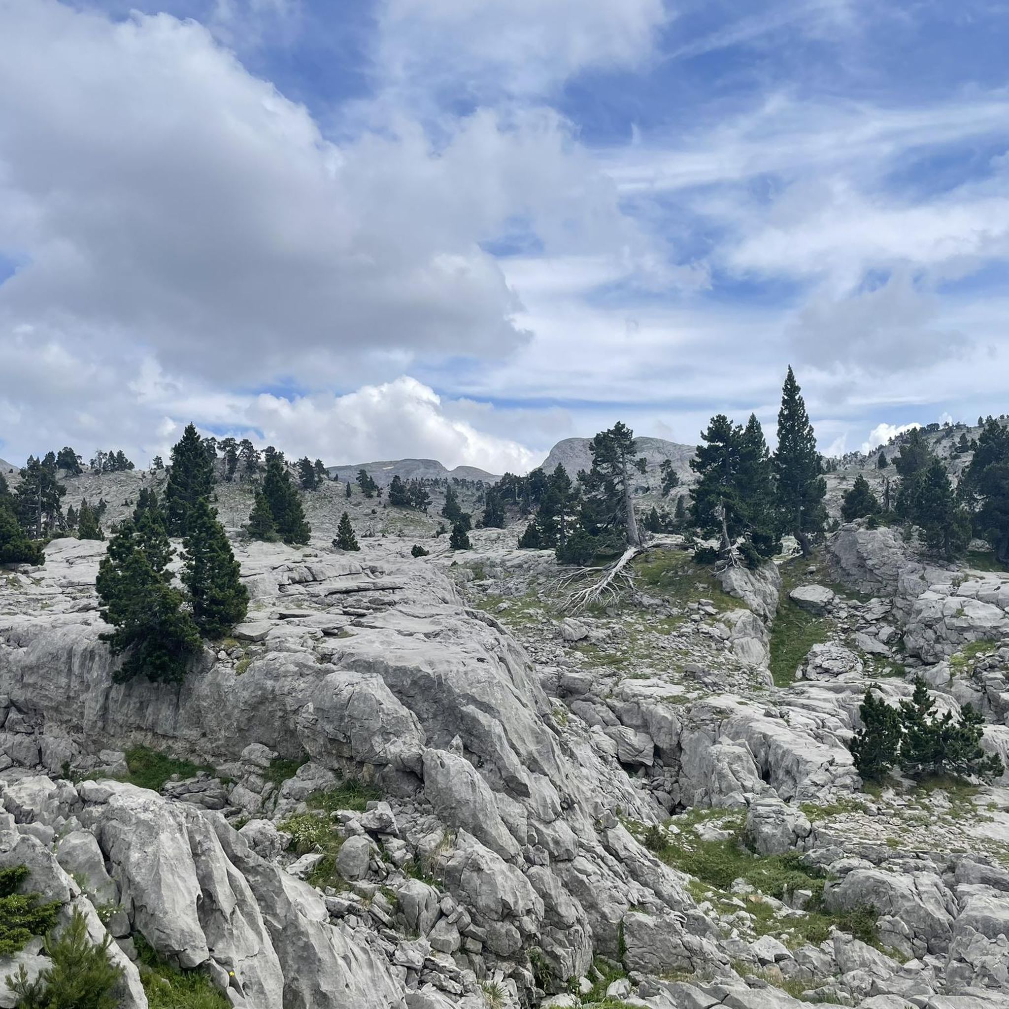
Hiking in Larrako Erreserba Naturala/Reserva Natural De Larra offers access to one of Europe's most extensive karst regions, spanning 120 km² in the Navarrese Pyrenees. This landscape features imposing limestone rock formations, black pine forests, and expansive mountain pastures. The terrain ranges from 1,100 meters at Rincón de Belagua to the 2,448-meter summit of Hiru Erregeen Mahaia, providing varied elevation. The reserve also includes pristine beech-fir forests and rugged limestone formations.
Best hiking trails in Larrako Erreserba Naturala/Reserva Natural De…
Last updated: July 3, 2026
4.5
(23)
189
hikers
Hard hike. Good fitness required. Sure-footedness, sturdy shoes and alpine experience required.
4.6
(17)
116
hikers
17.9km
06:41
1,140m
1,150m
Hard hike. Very good fitness required. Mostly accessible paths. Sure-footedness required.

Sign up for free
4.6
(7)
73
hikers
Moderate hike. Great for any fitness level. Mostly accessible paths. Sure-footedness required.
4.0
(4)
18
hikers
Moderate hike. Great for any fitness level. Mostly accessible paths. Sure-footedness required.
5.0
(2)
20
hikers
Hard hike. Good fitness required. Sure-footedness, sturdy shoes and alpine experience required.
Get access to more routes and recommendations from other explorers.
Sign up for free
Already have an account?
Our route recommendations are based on thousands of hikes, rides, and runs completed by other people on komoot.
Start today with a free account
Your next adventure awaits.
Login or Signup
Popular around Larrako Erreserba Naturala/Reserva Natural De Larra
Running Trails in Larrako Erreserba Naturala/Reserva Natural De Larra
Cycling in Larrako Erreserba Naturala/Reserva Natural De Larra
Road Cycling Routes in Larrako Erreserba Naturala/Reserva Natural De Larra
MTB Trails in Larrako Erreserba Naturala/Reserva Natural De Larra

Mountain Hikes in Larrako Erreserba Naturala/Reserva Natural De Larra
Tips from the Community

There is no ibon, it doesn't match the photos. It's just a pond for the animals to drink from.
0
0

Without a doubt, the Col de la Piedra de Saint Martin or Pierre Saint-Martin is one of the Top 10 in the whole of the Pyrenees. Without exceeding 2000 metres of altitude, it is a very long pass, with a lot of accumulated gradient (due to the innumerable French slopes, the gradient is 1,450 metres), with very hard slopes and several kilometres above 10%, with wonderful landscapes and panoramic views and with little traffic, except for the slopes crossed by the main road (D132 in France, the NA 137 in Spain). It is a pass with many slopes; in Europe there are few other passes that have as many slopes as this one (col de Turini, Passo delle Erbe, would be comparable in number of slopes approximately). I have only climbed it by 2 slopes: (i) my first time was from Lourdios Ichère, crossing the col de Labays and the col de Soudet. Simply spectacular; (ii) I have subsequently climbed the Spanish side on several occasions, which is unique, and which starts from Belagua and crosses the Belagua cross-country ski resort to reach the mountain pass. It is also very beautiful, with a landscape and views different from the north-east side. If I had to choose one of the two, I liked the north-west side better because it is more remote, harder and in my opinion more authentic. It is also a culturally special mountain pass because the Tribute of the 3 cows takes place on its summit every 13th of July, which is considered the oldest treaty in force in Europe. So... you know... you cannot miss the opportunity to come here and enjoy this wonderful jewel of the Pyrenees!!!!
1
0
If you arrive early you can have minutes of silence
0
0

Exceptional spot. To fully enjoy it, sunrise or sunset are preferred.
0
0

The peak of Arlas forms a beautiful, incisive tooth, which stands out particularly well in the surrounding panoramas. On this point, you are ideally placed to admire his profile. The peak rises to an altitude of 2,044 meters and is located between Navarre in Spain and the Pyrénées-Atlantiques in France.
0
0

Marking very well. Hike to do in good weather and you will not be disappointed
0
0
This mountain pass is on the Franco-Spanish border. It is overlooked by the peak of Arlas which rises to 2,044 meters. From the pass, you can admire the valleys of Roncal in Spain and Haute-Soule in France.
1
0
Frequently Asked Questions
What kind of terrain can I expect when hiking in Larrako Erreserba Naturala/Reserva Natural De Larra?
The region is renowned for its dramatic karst topography, featuring imposing limestone rock formations, deep sinkholes, and expansive mountain pastures. You'll also find black pine forests and pristine beech-fir forests. The elevation varies significantly, from 1,100 meters at Rincón de Belagua to the 2,448-meter summit of Hiru Erregeen Mahaia (Mesa de los Tres Reyes), offering a diverse range of landscapes.
How many hiking trails are available in Larrako Erreserba Naturala/Reserva Natural De Larra?
There are over 180 hiking routes available in Larrako Erreserba Naturala/Reserva Natural De Larra, catering to various skill levels. This includes 18 easy routes, 80 moderate routes, and 91 difficult routes, ensuring options for everyone from beginners to experienced mountaineers.
Are there any easy or beginner-friendly hikes in the reserve?
Yes, the reserve offers 18 easy routes suitable for beginners or those looking for a less strenuous walk. While specific easy routes are not highlighted in the top recommendations, you can find various options on komoot that are shorter in distance and have less elevation gain.
What are some notable natural features or landmarks to look out for?
Larrako Erreserba Naturala is rich in natural wonders. You can explore the unique karst formations like lapiaz and dolines, and the impressive Sima de la Piedra de San Martín, one of the world's deepest sinkholes. Notable peaks include Table of the Three Kings (Hiru Erregen Mahaia) and Pic d'Arlas, offering spectacular views. The Pierre Saint-Martin Pass is another significant landmark.
What do other hikers enjoy most about the trails in Larrako Erreserba Naturala/Reserva Natural De Larra?
The trails in Larrako Erreserba Naturala/Reserva Natural De Larra are highly rated by the komoot community, with an average score of 4.6 stars from over 800 reviews. Hikers often praise the dramatic karst topography, the stunning panoramic views from the high peaks, and the diverse natural environments, including black pine and beech-fir forests.
Is Larrako Erreserba Naturala/Reserva Natural De Larra suitable for family hikes?
While many routes can be challenging, there are 18 easy routes that could be suitable for families. It's advisable to check the specific route details on komoot for distance, elevation, and terrain to ensure it matches your family's fitness level and experience.
Are dogs allowed on the hiking trails in the reserve?
The region is generally welcoming to outdoor activities. However, specific regulations regarding dogs can vary within natural reserves. It's recommended to check local signage or the official website of the natural reserve for the most current rules on dog access, especially concerning protected wildlife areas.
What is the best time of year to go hiking in Larrako Erreserba Naturala/Reserva Natural De Larra?
The reserve offers outdoor activities year-round. Spring and autumn are ideal for hiking, with vibrant wildflowers in spring and golden hues in autumn. Summer provides warmer temperatures for high-altitude treks. During winter, the area transforms into a snowy landscape, suitable for snowshoeing and cross-country skiing at the Larra-Belagua Nordic Ski Center, though some hiking trails may be inaccessible due to snow.
Are there any circular hiking routes available?
Yes, many routes in the reserve are designed as loops. For instance, the Pic d'Arlas – Anie Peak loop from Gouffre de la Pierre-Saint-Martin and the Pierre Saint-Martin Pass – Jeandel Hut, Arette loop from Col de la Pierre Saint-Martin are popular circular options that allow you to experience diverse landscapes without retracing your steps.
What kind of wildlife can I expect to see in Larrako Erreserba Naturala/Reserva Natural De Larra?
As a Special Protection Area for Birds (ZEPA), the reserve is home to a rich avian population, including the black woodpecker, white-backed woodpecker, grouse, partridges, royal eagles, and bearded vultures. You might also encounter larger mammals such as bears and chamois, which are characteristic inhabitants of this Pyrenean region.
Is public transport available to access the hiking trails?
Access to the more remote parts of Larrako Erreserba Naturala/Reserva Natural De Larra is primarily by car, especially for trailheads deep within the reserve. Public transport options are limited, so planning for personal vehicle use or carpooling is generally recommended for reaching most hiking starting points.
Where can I find parking for the hiking trails?
Parking is typically available at key access points and trailheads, such as near the Pierre Saint-Martin Pass or other popular starting locations. It's advisable to check specific route descriptions on komoot for details on designated parking areas.
Are there any waterfalls in the reserve?
Yes, the region features beautiful natural elements, including waterfalls. One notable route, the Cascade of the Aspe Valley – Ehüjarre Canyon loop from Drundagaña, specifically highlights a waterfall and a canyon, offering a scenic experience for hikers.
Most popular routes in Larrako Erreserba Naturala/Reserva Natural De Larra
Most popular attractions in Larrako Erreserba Naturala/Reserva Natural De Larra

Get inspired with the komoot mobile app


Explore more
Browse the best Hikes in other regions.
